NEW YORK NY STATE: Vector Maps in PDF and Adobe Illustrator

List of ready-made Vector Maps of the state of New York US

Albany, New York = 10 maps
Bronx, New York = 2 maps
Brooklyn, New York = 4 maps
Buffalo, New York = 6 maps
Central Park, New York = 2 maps
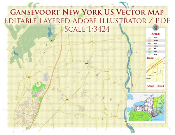
Gansevoort, New York = 2 maps
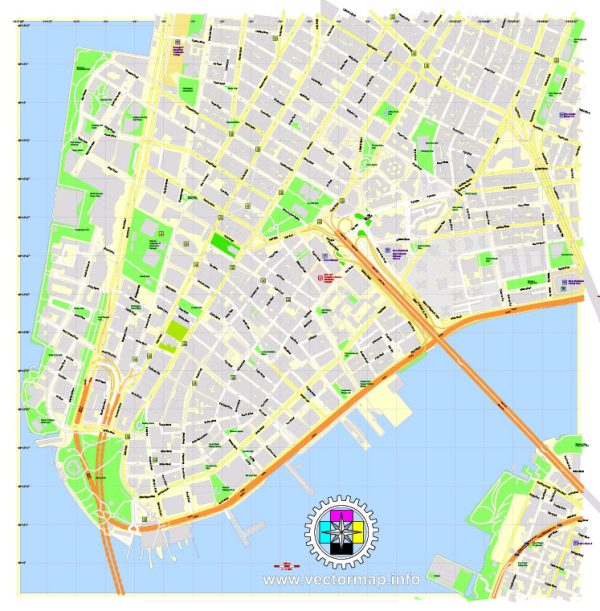
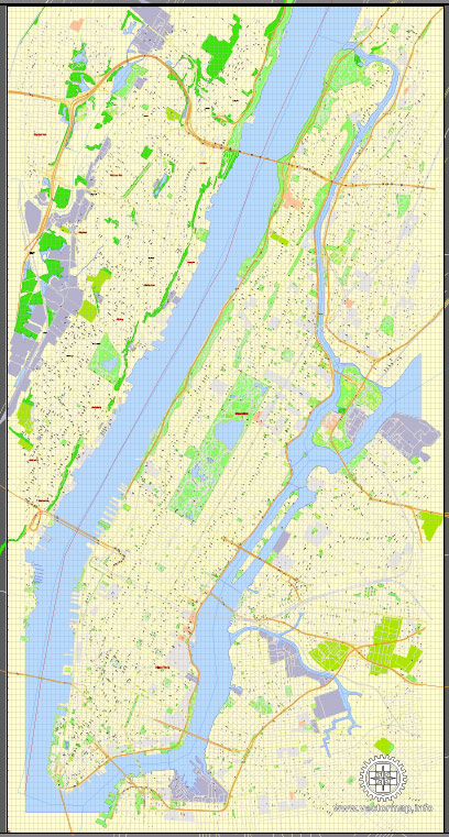
Long Island + Manhattan New York = 2 maps
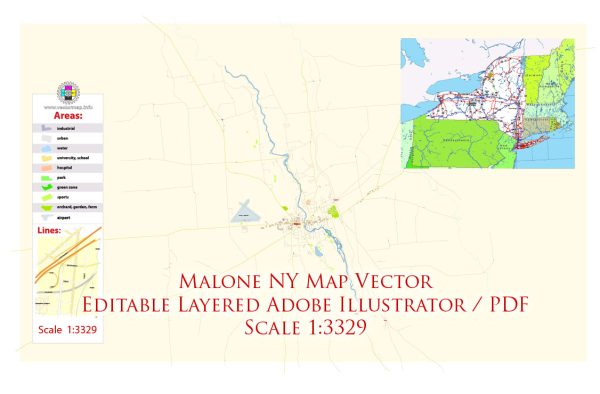
Malone, New York = 2 maps
New York City + 100 miles radius (South part of NY included) = 2 maps
New York City, NY, NYC = 44 maps
New York full State detailed map = 5 maps
Queens, NYC New York = 2 maps
Rochester, New York = 6 maps
Smithtown, New York (Long Island) = 2 maps
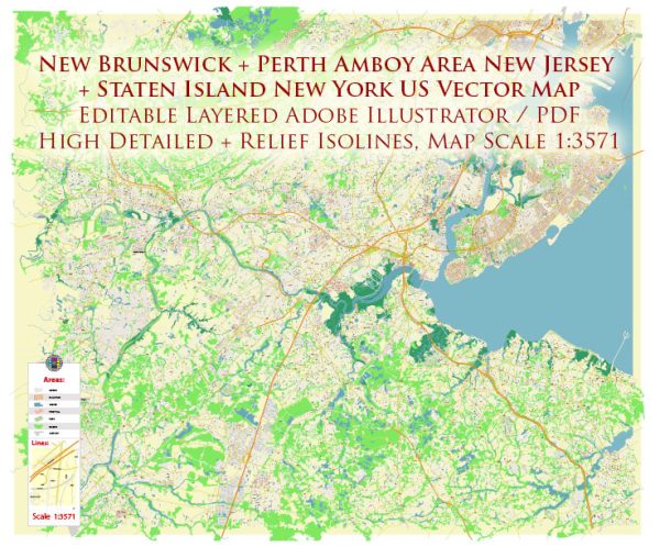
Staten Island NYC New York = 6 maps
Syracuse, New York = 4 maps 
Troy, New York = 2 maps 
White Plains, New York = 4 maps
Yonkers, New York = 2 maps

Vector Maps of the New York state : in the northeastern U.S., known for New York City and towering Niagara Falls. NYC’s island of Manhattan is home to the Empire State Building, Times Square and Central Park. The Brooklyn Bridge connects Manhattan with the borough of Brooklyn. The iconic Statue of Liberty stands in New York Harbor. To the east, Long Island has beaches, the Montauk Lighthouse, the ritzy Hamptons and Fire Island.
Capital: Albany
Largest city: New York City
Largest metro and urban areas: New York metropolitan area
Area
• Total 54,555 sq mi (141,297 km2)
• Land 47,126 sq mi (122,057 km2)
• Water 7,429 sq mi (19,240 km2) 13.6%
Area rank 27th
Dimensions
• Length 330 mi (530 km)
• Width 285 mi (455 km)
Elevation 1,000 ft (300 m)
Highest elevation Mount Marcy 5,344 ft (1,629 m)
Lowest elevation Atlantic Ocean 0 ft (0 m)
Population
• Total 20,632,243c
• Rank 4th
• Density 416.42/sq mi (159/km2)

Instant download archives: royalty free, editable vector maps of New York state US in high resolution digital PDF and Adobe Illustrator format.

All of our editable New York state US vector maps are digital files,
which can be instantly downloaded in editable PDF or Adobe Illustrator format.
Objects on maps are usually divided into layers according to their types – lines, polygons, street names, object names (see map description!!!!)
Each of our New York state US digital maps is available in Adobe Illustrator or editable PDF format, (or on request in any other known format for the same price)
which use a vector approach to display images,
you can easily enlarge any part of our maps without compromising text, line or graphic quality,
with any increase or decrease ratio.
Using a vector graphics editor such as Adobe Illustrator, CorelDraw, Inkscape, or Freehand
you can easily crop parts of the map, add custom characters, and change colors and font attributes as needed.
We have a variety of New York state US vector maps with different levels of detail, from simple empty paths to highly detailed maps with roads and terrain layers.

Free Vector Map New York State US Ai + PDF Free Vector Map New York State (Counties Areas) with names Ai + PDF + SVG

List of New York counties

List of Cities and towns by counties

Albany County NY

Allegany County NY

Bronx County NY

Broome County NY

Cattaraugus County NY

Cayuga County NY

Chautauqua County NY

Chemung County NY

Chenango County NY

Clinton County NY

Columbia County NY

Cortland County NY

Delaware County NY

Dutchess County NY

Erie County NY

Essex County NY

Franklin County NY

Fulton County NY

Genesee County NY

Greene County NY

Hamilton County NY

Herkimer County NY

Jefferson County NY

Kings County NY

Lewis County NY

Livingston County NY

Madison County NY

Monroe County NY

Montgomery County NY

Nassau County NY

New York County NY

Niagara County NY

Oneida County NY

Onondaga County NY

Ontario County NY

Orange County NY

Orleans County NY

Oswego County NY

Otsego County NY

Putnam County NY

Queens County NY

Rensselaer County NY

Richmond County NY

Rockland County NY

Saint Lawrence County NY

Saratoga County NY

Schenectady County NY

Schoharie County NY

Schuyler County NY

Seneca County NY

Steuben County NY

Suffolk County NY

Sullivan County NY

Tioga County NY

Tompkins County NY

Ulster County NY

Warren County NY

Washington County NY

Wayne County NY

Westchester County NY

Wyoming County NY

Yates County NY

Don’t see exactly what you’re looking for? Contact us to receive a special offer for an individual New York state US map for your project.

Author: Kirill Shrayber, Ph.D.

I have been working with vector cartography for over 25 years, including GPS, GIS, Adobe Illustrator and other professional cartographic software.
Linkedin: https://www.linkedin.com/in/kirill-shrayber-0b839325/
Twitter: https://twitter.com/vectormapper

Are we missing some maps? Let us know!!!
What map do you need?

    We will upload it within the next 24 hours and notify you by Email.

    Menu