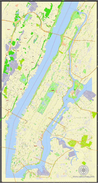
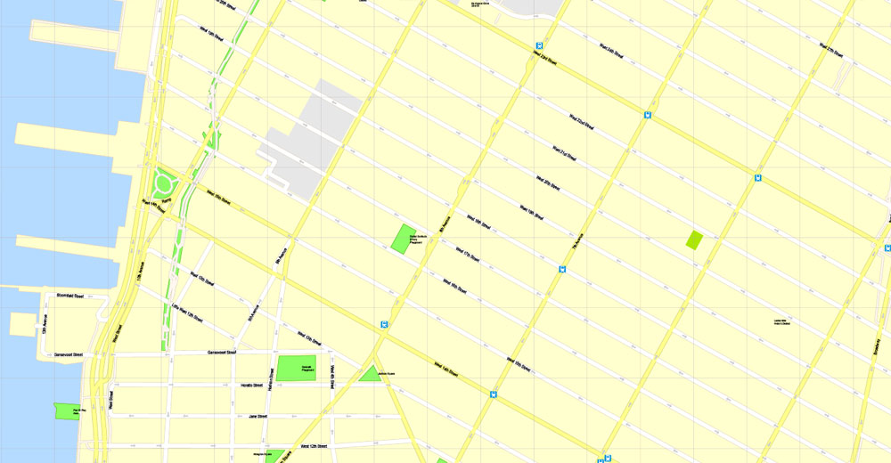
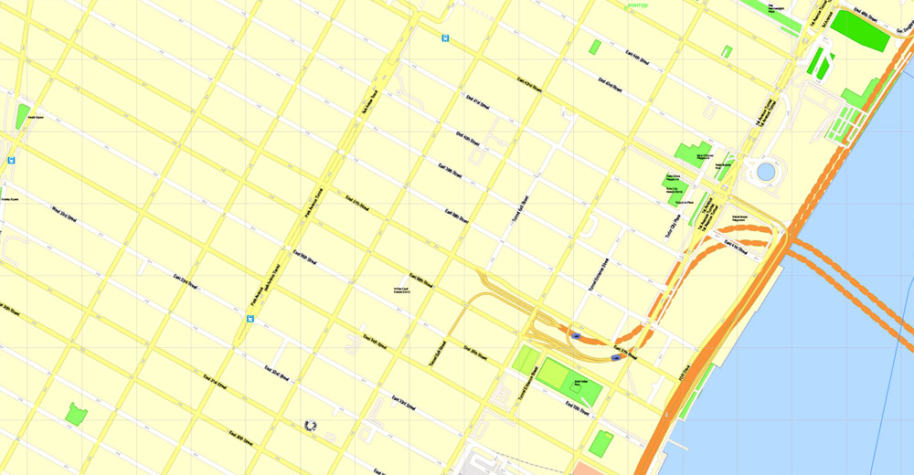
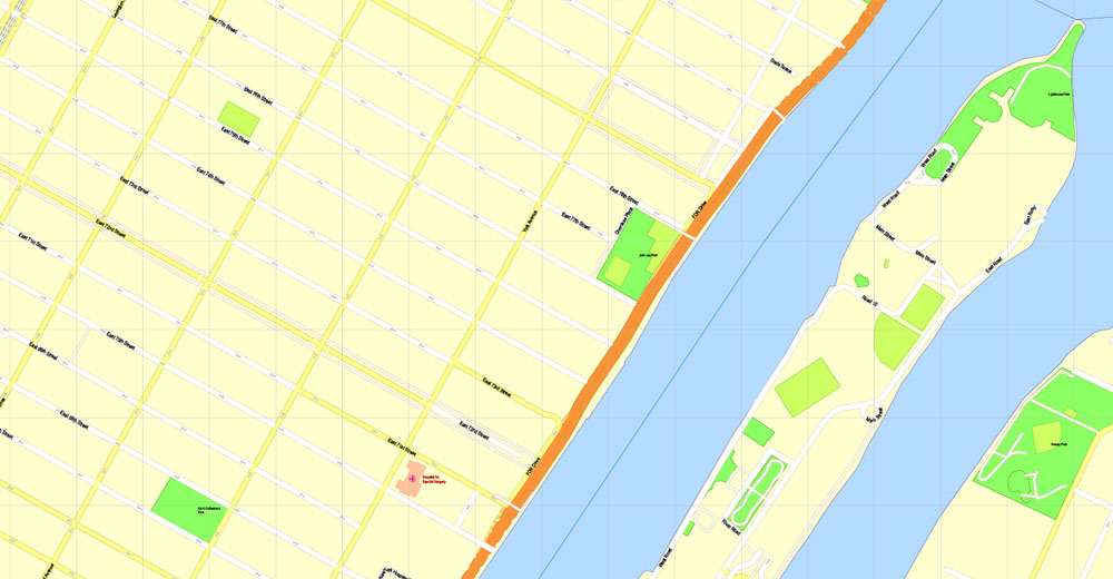
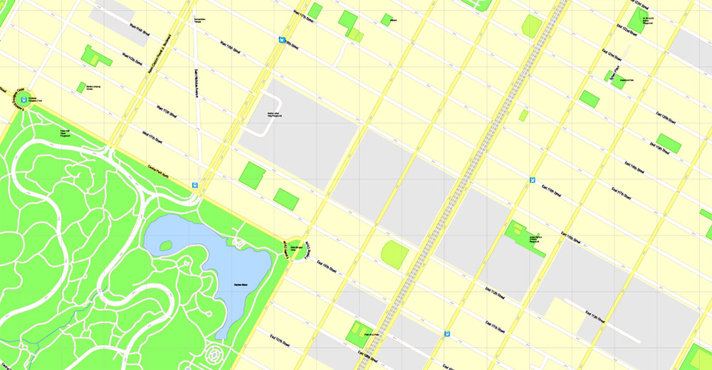
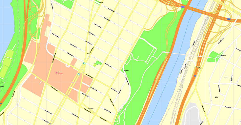
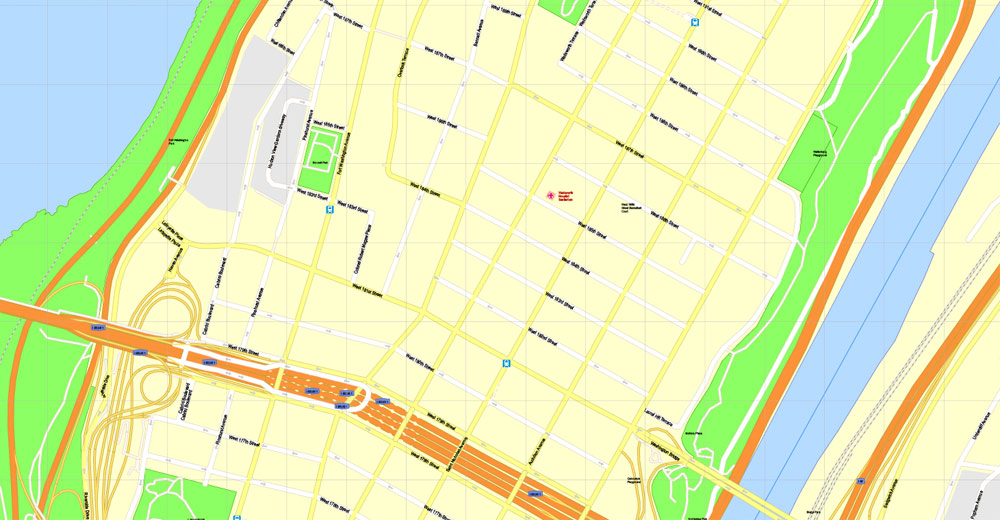
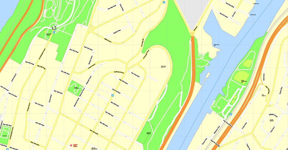
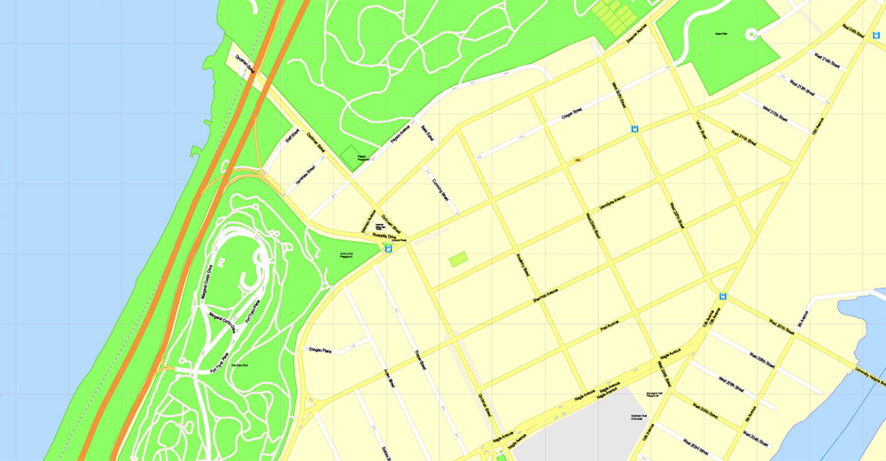
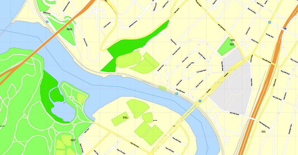
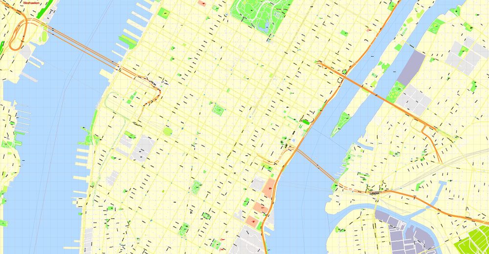
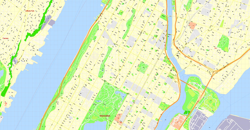
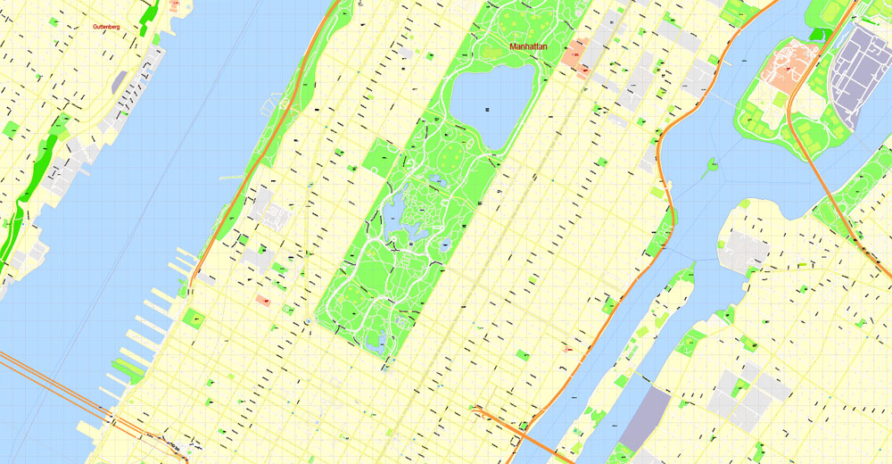
Manhattan PDF Map New York exact vector City Plan 100 m scale editable Street Map Adobe PDF in Layers, full vector, scalable, editable text format of street names, 12 Mb ZIP.
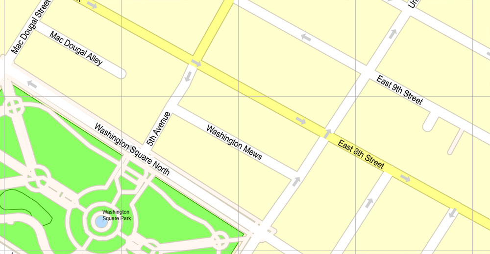
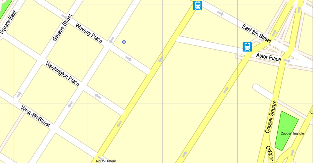
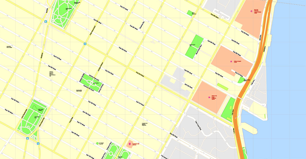
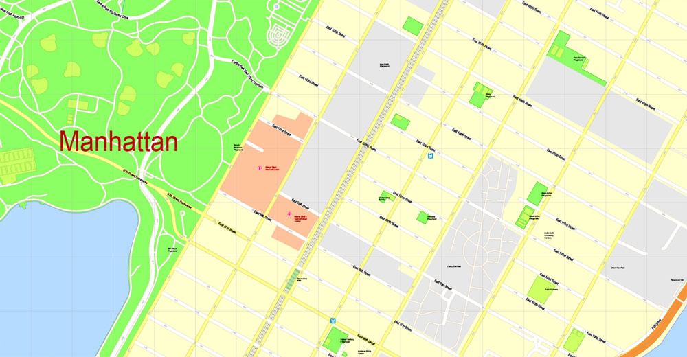
All streets named, main objects, no buildings. Map for publishing, design, printing, publications, arts, projects, presentations, for architects, designers and builders, business, logistics. The most exact and detailed map of the city.
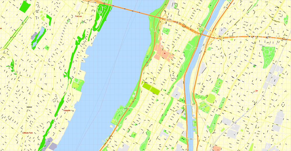
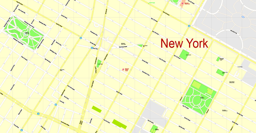
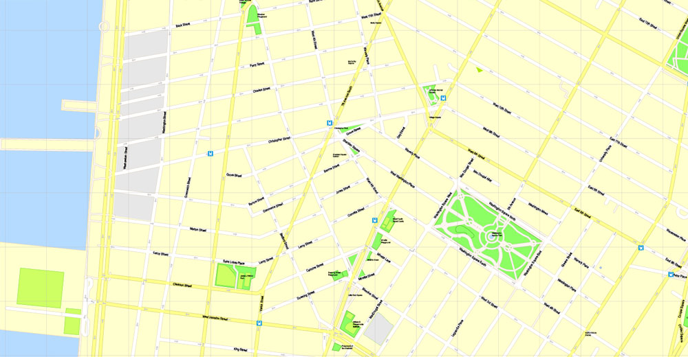
Separated layers: streets and roads, color fills, road labels, names 1,2,3, street arrows, objects, scales.
You can edit this file by Adobe Illustrator, Adobe Acrobat, Corel Draw.
DWG, DXF, CDR, ESRI Shapes, and other formats – by request, same price, please contact.
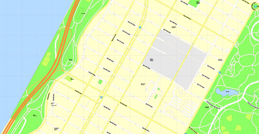
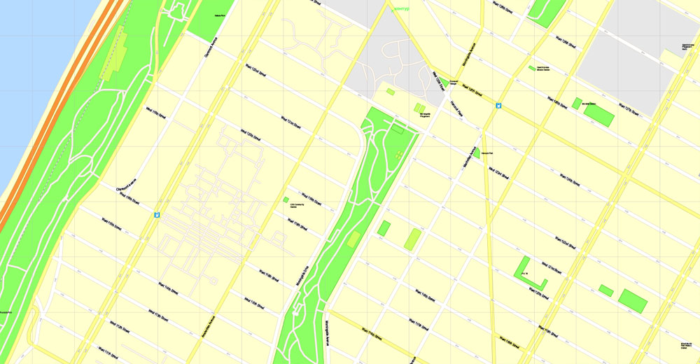
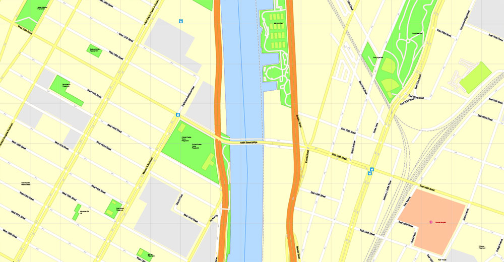
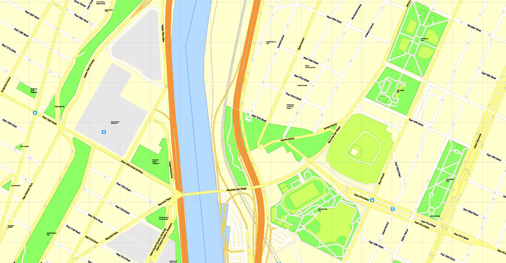
Manhattan, New York, USA.
This vector map of Manhattan is used as a basis for design, editing, and further printing.
This is the most detailed, exact map of Manhattan for high-quality printing and polygraphy. You can always clarify the map development date by contacting us.
For your convenience, all objects on Manhattan vector map are divided into layers. And the editing is very easy – colors, lines, etc.
You can easily add any objects needed (e.g. shops, salons, sale points, gas station or attraction) on any layer of Manhattan vector map.
Manhattan often referred to locally as the City, is the most densely populated borough of New York City, its economic and administrative center, its cultural identifier, and its historical birthplace. The borough is coextensive with New York County, one of the original counties of the U.S. state of New York. The borough consists mostly of Manhattan Island, bounded by the Hudson, East, and Harlem rivers; several small adjacent islands; and Marble Hill, a small neighborhood now on the U.S. mainland, physically connected to the Bronx and separated from the rest of Manhattan by the Harlem River. Manhattan Island is divided into three informally bounded components, each aligned with its long axis: Lower, Midtown, and Upper Manhattan.
One of the advantages of Manhattan vector maps of our production is the relevance of cartographic data, we constantly update all our products.
This vector map of Manhattan is used by:
designers, layout designers, printers, advertisers and architects. Our product – vector maps – is designed for further editing and printing in large formats – from @Wall format (a few meters) to A-0 and A-1, A-2, A-3.
Manhattan map in vector format is used for design, urban planning, presentations and media visualizations.
Advertising and presentation map of Manhattan (usually the final designer marks the routes, and puts the client’s objects (shops, saloons, gas stations etc.)
The undoubted advantage is that people will NEVER throw out this advertising product – the map. In fact, as an advertising medium, a map is the most “long-playing” of the well-known polygraphic advertising media, with the longest lifespan, and the maximum number of interactions with the customer.
For travelers, maps are sold at the airports and gas stations around the world. Often the source is our vector maps.
Take a look, who purchases our vector maps of Manhattan in “Our Clients and Friends” page – these are large and small companies, from super-brands like Volvo and Starbucks, to small design studios and printing houses.
It’s very easy to work with vector maps of Manhattan, even for a not very experienced designer who can turn on and off the map layers, add new objects, change the colors of fill and lines according to customer requirements.
The undoubted advantage of Manhattan vector maps in printing is an excellent and detailed visualization, when customer can expand a large paper map and instantly define his location, find a landmark, an object or address on map, unlike using the popular electronic formats of Google and Yandex maps for example.
Printable vector maps of Manhattan are much more convenient and efficient than any electronic maps on your smartphone, because ALL DETAILS are displayed in the entire space of Manhattan map.
Useful tips on working with vector maps of cities and countries in Adobe Illustrator.
«V» – launches the Selection tool (cursor, black arrow), which makes active any vector line.
«А» – launches the Direct Selection tool (white cursor), allows you to select curve elements and drag them to the desired place.
«R» – activates the Rotate tool, which helps you rotating selected objects around the center point by 360 degrees.
«E» – gives you the opportunity to use the Eraser tool and erase unnecessary parts.
«X» – switches between Fill and Stroke in the Tools section. Try to get used to this hot key and
you will quickly understand that you can’t live and work without it.

Guides are not limited to vertical and horizontal in Adobe Illustrator. You can also create a diagonal guide for example. Moreover, you can turn any contours into guides. Select the outline and go to View > Guides > Make Guides (Create Guides), or simply press Cmd/Ctrl + 5. You can also turn the guides back into an editable object. Go to menu, View > Guides > Unlock Guides (Release Guides), select the guide you want to edit and select View > Guides > Release Guides (Reset Guides), or just press Cmd/Ctrl + Option / Alt + 5).
You will probably want to change the color scheme used on our Manhattan vector map.
To quickly and effectively play with colors.
Of course, you can do it manually, all objects in our Manhattan vector map are divided according to types and layers, and you can easily change the color gamma of vector objects in groups and layers.
But there is more effective way of working with the whole VECTOR MAP of Manhattan and all layers:
The overview dialog «Edit colors»/«Repaint Graphic Object» (this dialog box name can change depending on the context):
If you have selected a part or a layer of Manhattan vector map and open the dialog box by clicking the icon in the Control panel, on the Samples palette or the Color Catalog, or if you choose Edit > Edit Colors> Repaint Graphic Object, then the «Repaint Graphic Object» dialog box appears, and you get access to «Assign» and «Edit» tabs.
If a picture or a map fragment is not selected, and you open the dialog box by clicking the icon in the Control panel, on the Samples palette or in the Color Catalog, the «Edit Colors» dialog box appears and you can only access the «Edit» tab.
Regardless of the name at the top of the dialog box, the right-hand side always displays the color group of the current document, as well as two default color groups: Print Color and Grayscale. These color groups can be selected and used any time.
Create and edit color groups of Manhattan vector map, and also assign colors using the «Edit Colors»/ а «Repaint Graphic Object» dialog box.
A. Creating and editing of a color group on the «Edit» tab
B. Assigning colors on the «Assign» tab
C. Select a group of colors from the «Color groups» list
The option «Repaint a graphic object» in the lower part of the dialog box allows you to preview the colors on a selected layer of Vector map, or a group of elements, and specify whether its colors will be redefined when the dialog box is closed.
The main areas of the dialog box are:
«Edit»
The «Edit» tab is designed to create a new or edit the existing color groups.
The harmony rules Menu and the Color Wheel are used to conduct experiments with color harmonies. The color wheel shows how colors are related in color harmony, and the color bars allow you to view and manipulate an individual color values. In addition, you can adjust the brightness, add and remove colors, save color groups and view colors on the selected Vector Map of Manhattan or a separated layers.
«Assign»
The «Assign» tab is used to view and control on how the original colors are replaced with colors from the color group like your corporate colors in the Vector Map of Manhattan.
The assign color ability is provided only if the entire map, layer or fragment is selected in the document. You can specify which of new colors replace the current colors, whether the spot colors should be preserved and how colors are replaced (for example, you can replace colors completely or changing the color tone while maintaining the brightness). The «Assign» tab allows you to redefine colors in the Vector Map of Manhattan, or in separate layers and fragments using the current color group or reducing the number of colors in the current Vector Map.
Color groups
Is a list of all saved color groups for current document (the same groups appear in the «Samples» palette). You can edit and delete the existing color groups, as well as creating a new ones using the list of “Color Groups” in the dialog box. All changes appear in the «Samples» palette.
The highlighted color group shows, which color group is currently edited.
Any color group can be selected and edited, or used to redefine the colors in the selected vector map of Manhattan, its fragments or elements.
Saving a color group adds this group to the specified list.
Opening the «Edit Colors»/«Repaint Graphic Object» dialog box.
Open the «Edit Colors»/«Repaint Graphic Object» dialog box using one of the following methods:
«Edit»> «Edit Colors»> «Repaint Graphic object» or «Repaint With Style».
Use these commands if you need to edit the colors in the selected vector map of Manhattan.
«Repaint Graphic object» button on the «Control» panel.
Use this button if you need to adjust colors of Manhattan vector map using the а «Repaint graphic object» dialog box.
The specified button is available if the selected vector map or its fragment contains two or more colors.
Note. This color editing method is convenient for global color adjustment in a vector map, if global colors were not used when creating a Map of Manhattan.
The «Edit colors» button or «Edit or apply colors» on the «Color Catalog» palette
Click this button if you need to edit colors on the «Color Catalog» palette or edit and then apply them to the selected Vector Map of Manhattan or its fragment.
The «Edit color group» button or «Edit or apply color group» on the «Samples» palette.
Click this button if you need to edit the colors in the specific color group or edit and apply them to the selected Vector Map of Manhattan or a group of its elements, for example, the whole layer “Streets and lines”. You can also double-click the color group in the Samples panel to open the dialog box.
If the map file is too large and your computer freezes or even can’t open it quickly:
1. Try to reduce the color resolution of the video card (display) to 256 colors while working with a large map.
2. Using Windows Task Manager, select all the application you don’t need, while working with map, just turn them off.
3. Launch Adobe Illustrator. (DO NOT OPEN the vector map file)
4. Start the Windows Task Manager using administrator rights > Find the “Illustrator” process > set the «real time» priority,
5. Open the file. When you see the LEGACY FONT popup window – click “OK” (do not update). You can restore the TEXT later.
6. Can also be useful: When file is opened – Edit > Settings > Basic Settings > disable smoothing. /// It looks scary, but works quickly)))
We recommend saving the file in Adobe Illustrator 10 version. It’s much more stable when working with VERY BIG size files.

Manhattan is often described as the cultural, financial, media, and entertainment capital of the world, and the borough hosts the United Nations Headquarters. Anchored by Wall Street in the Financial District of Lower Manhattan, New York City has been called both the most economically powerful city and the leading financial center of the world, and Manhattan is home to the world’s two largest stock exchanges by total market capitalization: the New York Stock Exchange and NASDAQ. Many multinational media conglomerates are based in Manhattan, and the borough has been the setting for numerous books, films, and television shows. Manhattan is historically documented to have been purchased by Dutch colonists from Native Americans in 1626 for 60 guilders, which equals roughly US$1050 in current terms. Manhattan real estate has since become among the most expensive in the world, with the value of Manhattan Island, including real estate, estimated to exceed US$3 trillion in 2013; median residential property sale prices in Manhattan approximated US$1,600 per square foot ($17,000/m2) as of 2018, with Fifth Avenue in Midtown Manhattan commanding the highest retail rents in the world, at US$3,000 per square foot ($32,000/m2) in 2017.
Manhattan traces its origins to a trading post founded by colonists from the Dutch Republic in 1624 on Lower Manhattan; the post was named New Amsterdam in 1626. The territory and its surroundings came under English control in 1664 and were renamed New York after King Charles II of England granted the lands to his brother, the Duke of York. New York, based in present-day Manhattan, served as the capital of the United States from 1785 until 1790. The Statue of Liberty greeted millions of immigrants as they came to the Americas by ship in the late 19th and early 20th centuries and is a world symbol of the United States and its ideals of liberty and peace. Manhattan became a borough during the consolidation of New York City in 1898.
New York County is the United States’ second-smallest county by land area (larger only than Kalawao County, Hawaii), and is also the most densely populated U.S. county. It is also one of the most densely populated areas in the world, with a census-estimated 2017 population of 1,664,727 living in a land area of 22.83 square miles (59.13 km2), or 72,918 residents per square mile (28,154/km2), higher than the density of any individual U.S. city. On business days, the influx of commuters increases this number to over 3.9 million, or more than 170,000 people per square mile (65,600/km2). Manhattan has the third-largest population of New York City’s five boroughs, after Brooklyn and Queens, and is the smallest borough in terms of land area.
Many districts and landmarks in Manhattan are well known, as New York City received a record 62.8 million tourists in 2017, and Manhattan hosts three of the world’s 10 most-visited tourist attractions in 2013: Times Square, Central Park, and Grand Central Terminal. The borough hosts many prominent bridges, such as the Brooklyn Bridge; skyscrapers such as the Empire State Building; and parks, such as Central Park. Chinatown incorporates the highest concentration of Chinese people in the Western Hemisphere, and the Stonewall Inn in Greenwich Village, part of the Stonewall National Monument, is considered the birthplace of the modern gay rights movement. The City of New York was founded at the southern tip of Manhattan, and the borough houses New York City Hall, the seat of the city’s government. Numerous colleges and universities are located in Manhattan, including Columbia University, New York University, Cornell Tech, Weill Cornell Medical College, and Rockefeller University, which have been ranked among the top 40 in the world.


Manhattan
New York City borough
Manhattan is the most densely populated of New York City’s 5 boroughs. It’s mostly made up of Manhattan Island, bounded by the Hudson, East and Harlem rivers. Among the world’s major commercial, financial and cultural centers, it’s the heart of “the Big Apple.” Its iconic sites include skyscrapers such as the Empire State Building, neon-lit Times Square and the theaters of Broadway.
Land area: 59.1 km²
Population: 1.626 million (2013)
Area code: Area code 212
Free vector maps:

Free download Vector Map US Interstate roads, Adobe PDF, V.2 Free_Map_US_Interstates_Roads_2.pdf
Free download Vector Map US Interstate roads, Adobe Illustrator, V.2 Free_Map_US_Interstates_Roads_2.ai

Free Download Vector Map US County and State Adobe Illustrator
Free_Vector_Map_US_States_County_Map.ai
Free Download Vector Map US County and State Adobe PDF
Free_Vector_Map_US_States_County_Map.pdf

Free Vector Map US Census Data Top US Ancestries by County Adobe Illustrator
Free_Vector_Map_US_Census-Data-Top-US-Ancestries-by-County.ai
Free Vector Map US Census Data Top US Ancestries by County Adobe PDF
Free_Vector_Map_US_Census-Data-Top-US-Ancestries-by-County.pdf
Free US Maps from WIKIPEDIA
Small guide: How to work with the vector map?
You can: Mass select objects by type and color – for example, the objects type “building” (they are usually dark gray) – and remove them from the map, if you do not need them in your print or design project. You can also easily change the thickness of lines (streets), just bulk selection the road by the line color.
The streets are separated by type, for example, type “residential road” are usually white with a gray stroke. Highway usually orange with a brown or dark gray stroke.
It is easy to change the font of inscriptions, all or each individually. Also, just can be make and any other manipulation of objects on the vector map in Adobe illustrator format.
Important: All the proportions on the map are true, that is, the relative sizes of the objects are true, because Map is based on an accurate GPS projection, and It transated into the (usual for all) the Mercator projection.
You can easily change the color, stroke and fill of any object on the map, zoom without loss of quality Image Verification.

 Author: Kirill Shrayber, Ph.D. FRGS


