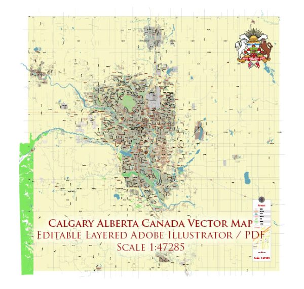
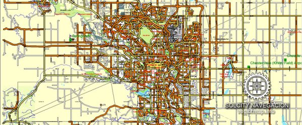
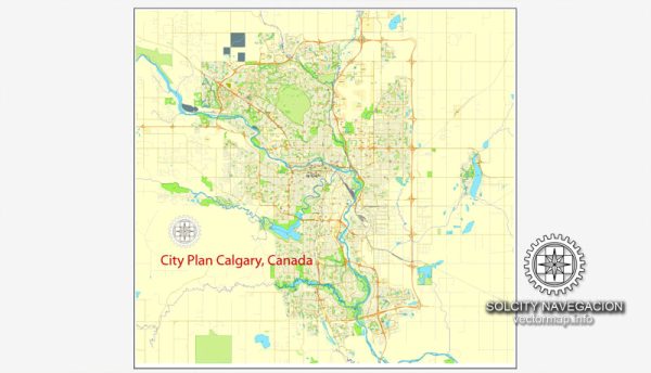
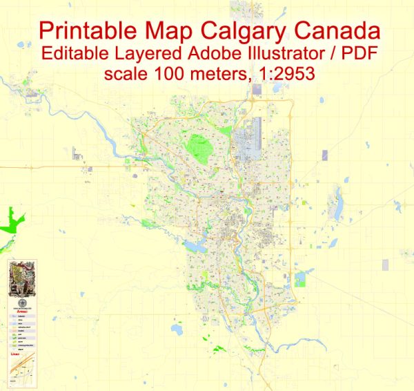
A general overview of the economic and transport connections in Calgary, Canada.
Vectormap.Net provide you with the most accurate and up-to-date vector maps in Adobe Illustrator, PDF and other formats, designed for editing and printing. Please read the vector map descriptions carefully.
Economic Overview:
- Energy Sector Dominance: Calgary has long been associated with the energy industry, particularly oil and gas. The city is considered the center of Canada’s oil and gas sector, with many major energy companies headquartered in or around the city.
- Economic Diversification: In recent years, efforts have been made to diversify Calgary’s economy beyond the energy sector. The city has been investing in technology, healthcare, and other industries to reduce its dependence on oil and gas.
- Financial Hub: Calgary is a significant financial center, hosting the headquarters of major banks and financial institutions. The city is home to a vibrant business community, including a robust network of entrepreneurs and startups.
Transport Connections:
- Calgary International Airport (YYC): Calgary’s airport, located northeast of the downtown core, is a major transportation hub. It offers domestic and international flights, connecting the city to various destinations worldwide.
- Public Transit: The Calgary Transit system provides public transportation services, including buses and the CTrain (light rail transit). The CTrain is one of the busiest LRT systems in North America and serves various parts of the city.
- Road Network: Calgary has an extensive road network, making it easily accessible by car. Major highways such as the Trans-Canada Highway (Highway 1) connect Calgary to other cities in Alberta and beyond.
- Rail Connections: Calgary has a railway network, and the Canadian Pacific Railway (CPR) and Canadian National Railway (CNR) are prominent players. Rail transport is crucial for moving goods, including those from the energy sector.
- Port Access: While Calgary is landlocked, it has access to ports on the west coast, such as the Port of Vancouver. Goods can be transported by rail or truck to and from these ports.
- Logistics and Distribution: The city’s strategic location and transportation infrastructure make it a hub for logistics and distribution. Warehousing and distribution centers play a vital role in supporting various industries.
- Bike Paths and Walkability: Calgary has invested in developing an extensive network of bike paths and walkways, promoting alternative and sustainable modes of transportation within the city.



 Author: Kirill Shrayber, Ph.D. FRGS