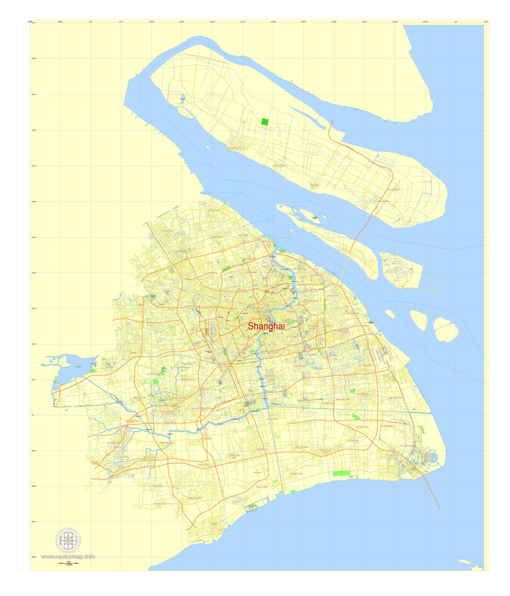
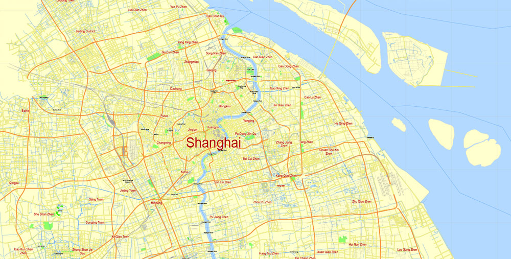
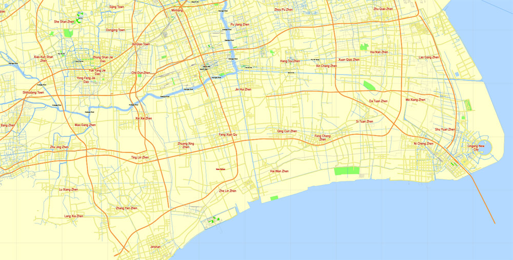
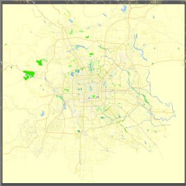
Free Download vector Map Shanghai, China, Free printable editable SVG map Shanghai in English
printable_map_shanghai_china_g-view_level_12_eng_svg-svg

This work is licensed under a Creative Commons Attribution 4.0 International License.
Create a Timelapse Street View Movie
The brilliant Address is Approximate mixes stop-motion animation with some timelapse images from Google Maps Street View. You can also see Shanghai, China, printable vector street G-view Level 17 (100 meters scale) map, full editable in ENGLISH, Adobe illustrator, full vector. If you want to create your own timelapse movie from Street View then you can follow Digital Inspirations online tutorial How to Create a Time-Lapse Movie with Google Street View. The tutorial explains how to create an AutoHotkey text file that will help you capture a series of Street View images automatically. You can then import the images into Windows Live Movie Maker (or any other video editing software) to create your timelapse movie.
Some Other Street View Timelapse Movies
- Timelapse of Interstate 5 – Mexico to Canada
- Timelapse of the Trans-Canada Highway
- Golden Gate Bridge
Source.
-
Beijing, China, printable vector street G-view Level 13 (2.000 meters) map, full editable, Adobe illustrator$ 65.00
View Vector Map
-
Beijing, China, printable vector street G-view Level 13 (2.000 meters) map, full editable, Adobe PDF$ 65.00
View Vector Map
-
Beijing, China, printable vector street G-view Level 15 (500 meters) map, full editable in ENGLISH, Adobe illustrator$ 65.00
View Vector Map
-
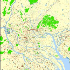
Beijing, China, printable vector street G-view Level 17 (100 meters scale) map, full editable in ENGLISH, Adobe illustrator$ 72.00
View Vector Map
-
Guangzhou PDF Map China printable vector City Plan 5 km scale full editable in ENGLISH Adobe PDF Street Map$ 12.00
View Vector Map
-
Guangzhou Vector Map China, printable vector 5 km scale City Plan full editable in ENGLISH, Adobe illustrator Street Map$ 12.00
View Vector Map
-
Guangzhou, China, printable vector street G-view Level 17 (100 meters scale) map, full editable in ENGLISH, Adobe illustrator$ 63.00
View Vector Map
-
Hong Kong – Shenzhen, China, printable vector map Adobe Illustrator editable City Plan G-View Level 13 (2.000 meters scale) V3.09, full vector$ 27.00
View Vector Map
-
Hong Kong – Shenzhen, China, printable vector map Adobe PDF editable City Plan G-View Level 13 (2.000 meters scale) V3.09, full vector$ 27.00
View Vector Map
-
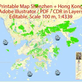
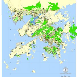
Hong Kong + Shenzhen PDF Map China Printable Vector exact detailed City Plan Street Map with Buildings, scale 1:4339, editable Layered Adobe PDF$ 79.00
View Vector Map
-
Hong Kong + Shenzhen Vector Map China Printable Vector exact detailed City Plan Street Map with Buildings, scale 1:4339, editable Layered Adobe Illustrator$ 79.00
View Vector Map
-
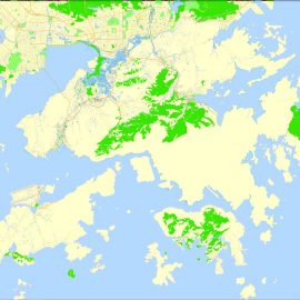
Hong Kong Map China printable vector City Plan 5 km scale full editable in ENGLISH, Adobe illustrator Street Map$ 12.00
View Vector Map
-
Hong Kong Map PDF China printable vector City Plan 5 km scale full editable in ENGLISH, Adobe PDF Street Map$ 12.00
View Vector Map
-
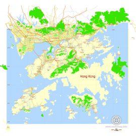
Hong Kong, China, printable vector street G-view Level 17 (100 meters scale) map, full editable in ENGLISH, Adobe illustrator$ 49.00
View Vector Map
-
Macau Map PDF China, printable vector City Plan 5 km scale full editable in ENGLISH Adobe PDF Street Map$ 12.00
View Vector Map
-
Macau Map Vector China printable City Plan 5 km scale full editable in ENGLISH Adobe Illustrator Street Map$ 12.00
View Vector Map
-
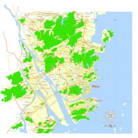
Macau, China, printable vector street G-view Level 17 (100 meters scale) map, full editable in ENGLISH, Adobe illustrator$ 49.00
View Vector Map
-
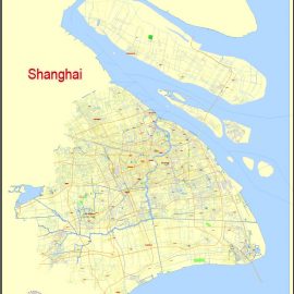
Shanghai PDF Map China printable vector City Plan 5 km scale full editabale in ENGLISH, Adobe PDF Street Map$ 12.00
View Vector Map
-
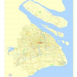
Shanghai Vector Map China printable City Plan 5 km scale full editable in ENGLISH, Adobe illustrator Street Map$ 12.00
View Vector Map
-
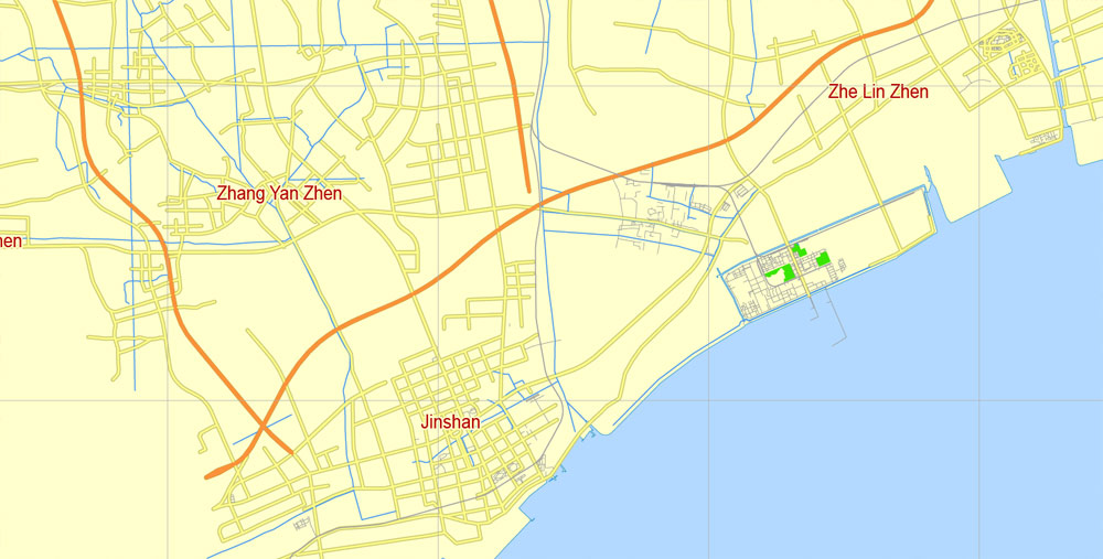
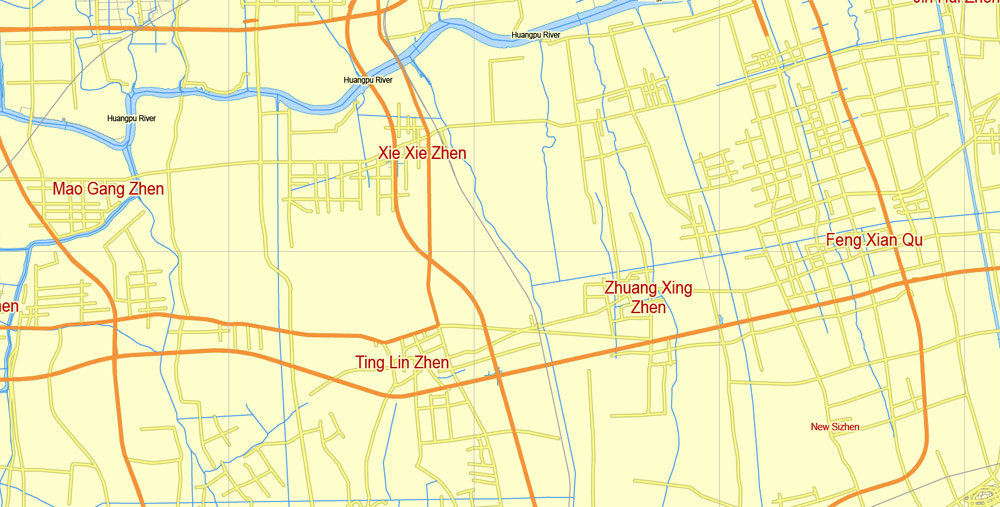
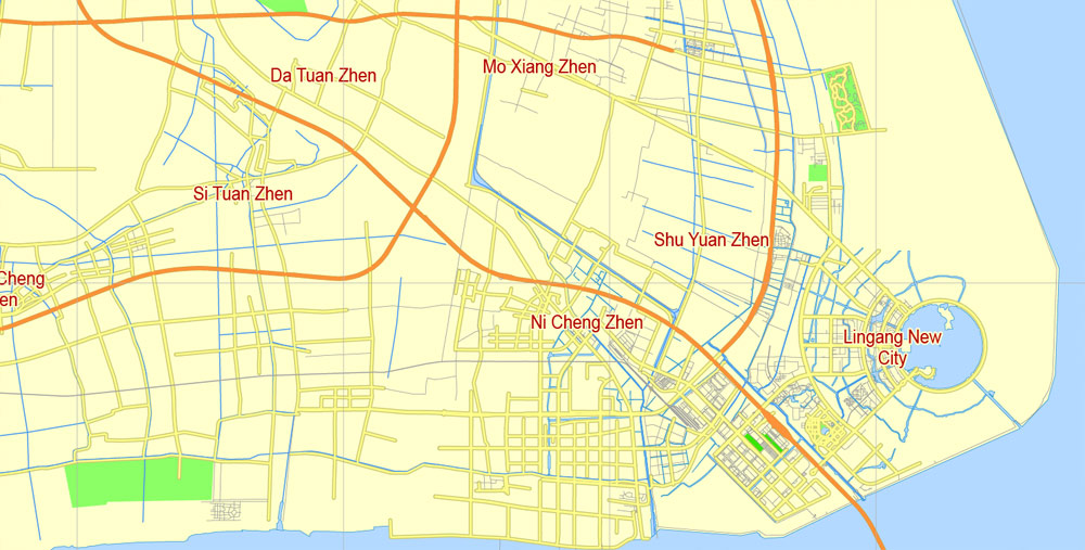
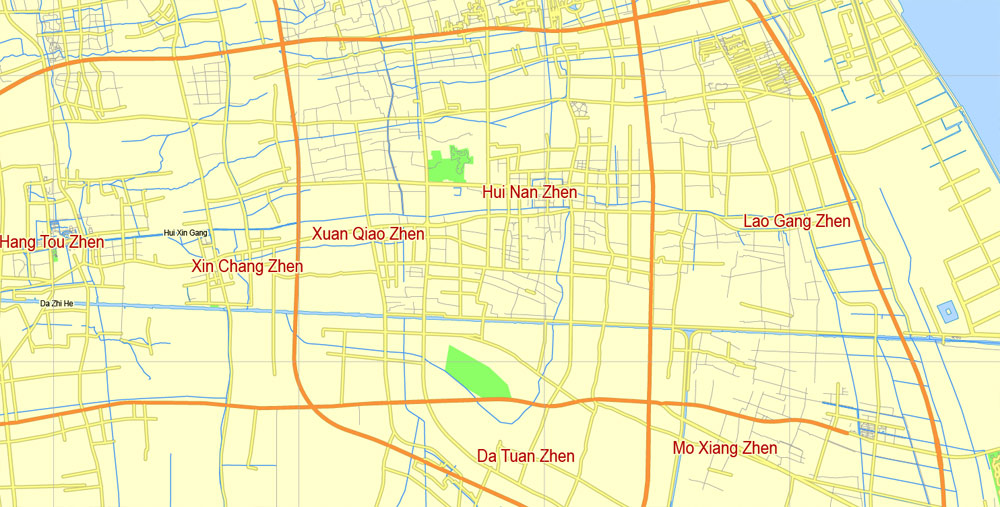
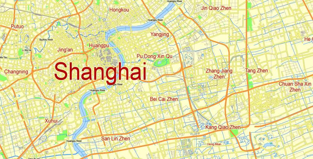
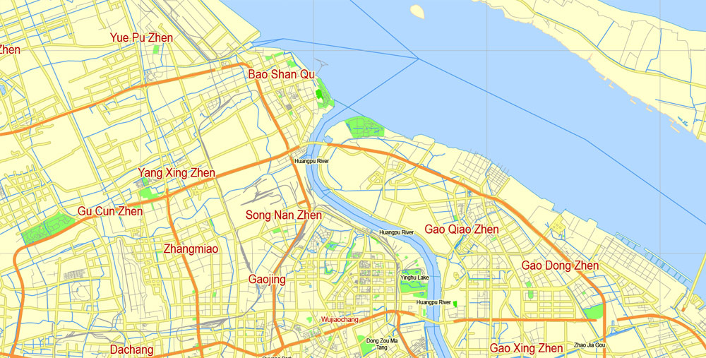
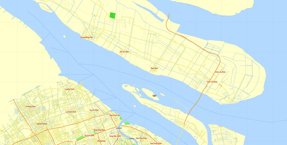
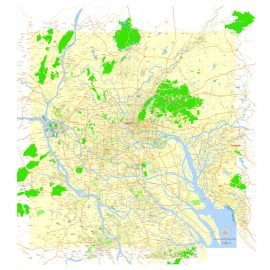
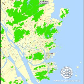
Shanghai, China, printable vector street G-view Level 17 (100 meters scale) map, full editable in ENGLISH, Adobe illustrator, full vector$ 65.00
View Vector Map
-
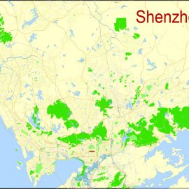
Shenzhen, China, printable vector street G-view Level 17 (100 meters scale) map, full editable in ENGLISH, Adobe illustrator$ 63.00
View Vector Map
-
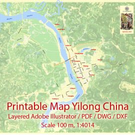
Yilong Cnina Printable Map, exact vector City Plan editable, Adobe Illustrator, PDF, DWG and DXF StreetMap in 1 archive$ 49.00
View Vector Map
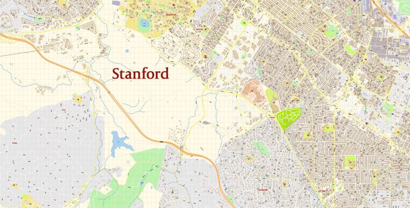
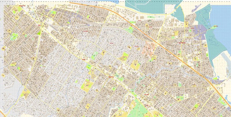
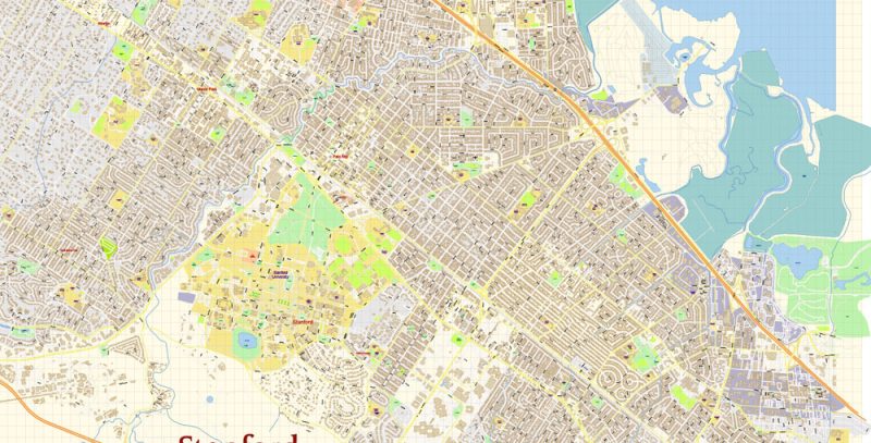
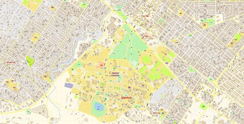
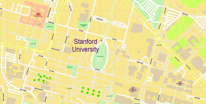
Printable Editable PDF Map Stanford University CA US scale 1:3730 Extra Detailed Street Road Map editable Adobe PDF in layers, scalable, editable text format all names, 24 mb ZIP
All street names, main objects, buildings. Map for publishing, design, printing, publications, arts, media, projects, presentations, for architects, designers and builders, business, logistics. The most exact and detailed map of the city.
Layers: color_fills, streets_roads, labels_roads, names_places, halo_names_places, halo_names_streets, waterways, buildings, names_objects, grids, legend, etc.
For Editing High Quality Printing
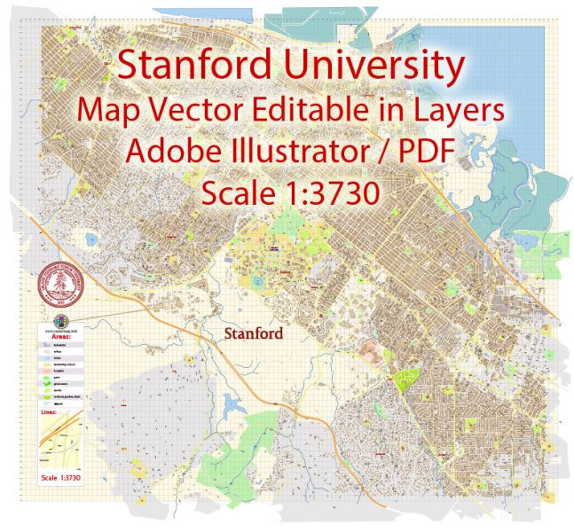
 Author: Kirill Shrayber, Ph.D. FRGS