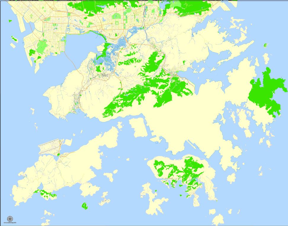
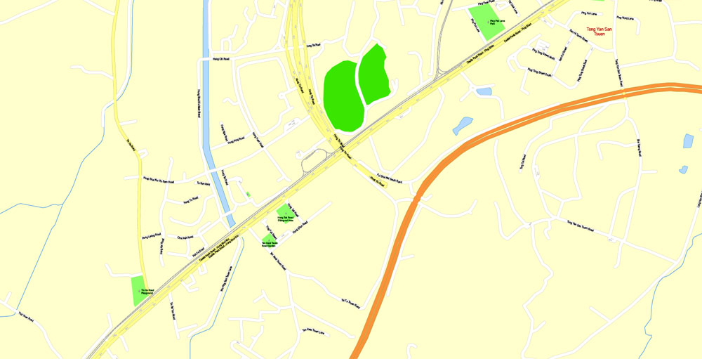
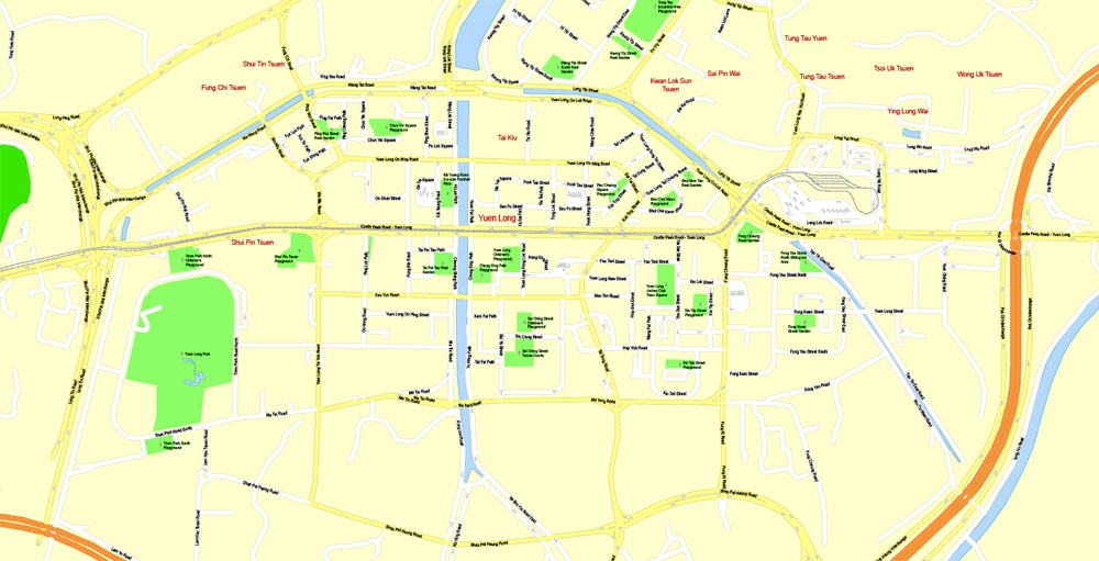
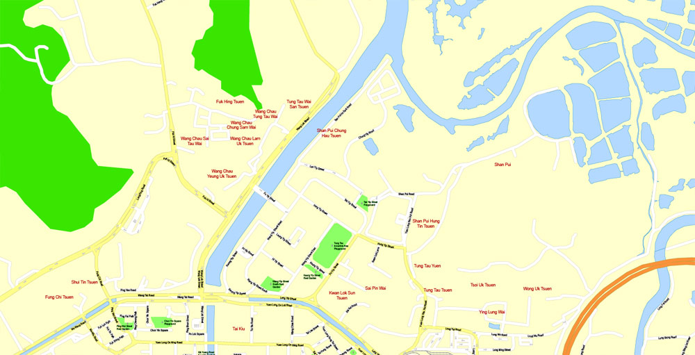
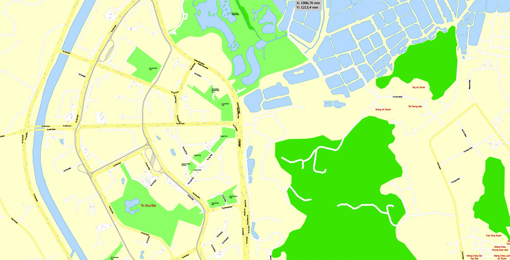
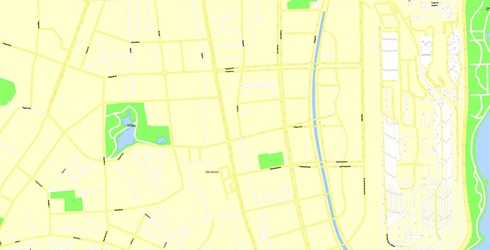
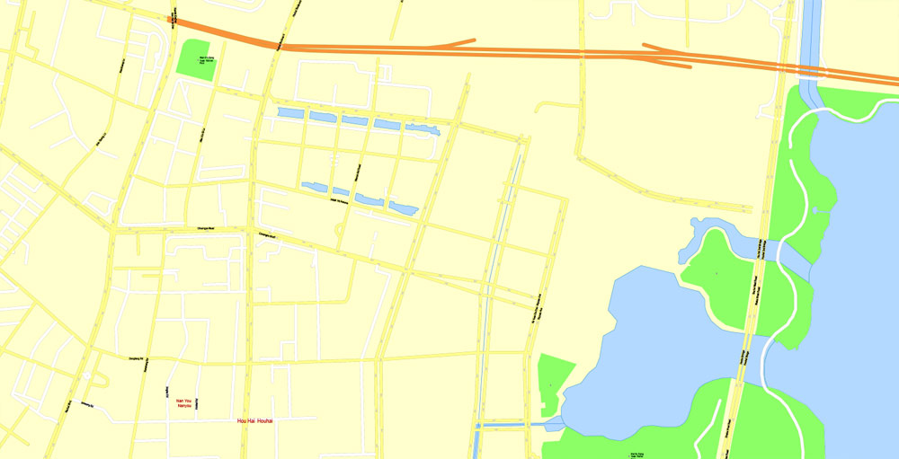
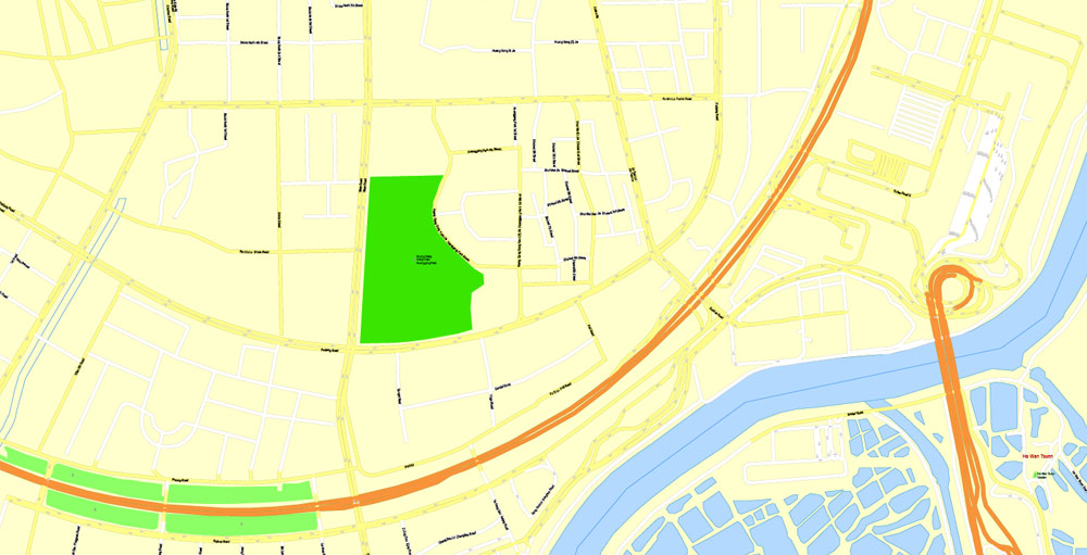
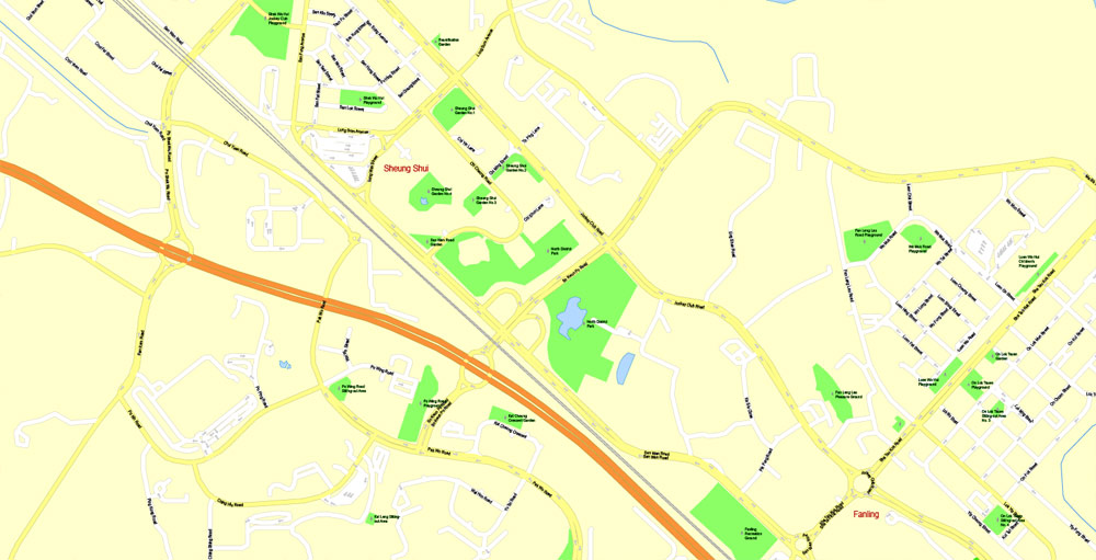
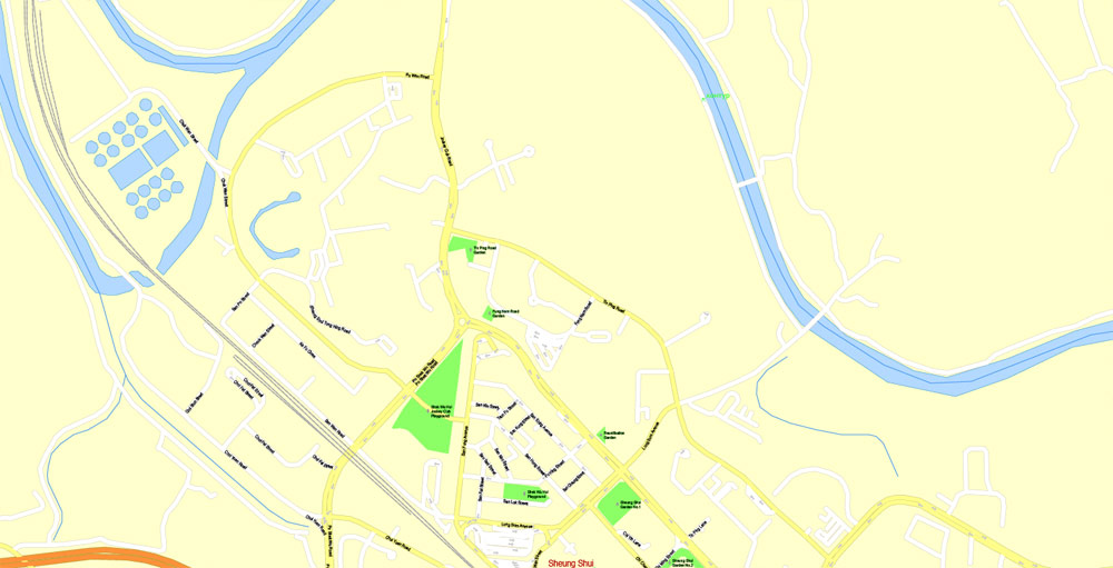
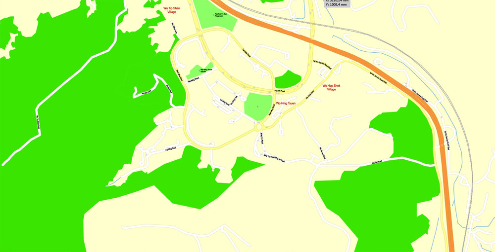
Hong Kong, China, printable vector street G-view Level 17 (100 meters scale) map, full editable in ENGLISH, Adobe illustrator, full vector, scalable, editable, text format street names, 6 mb ZIP
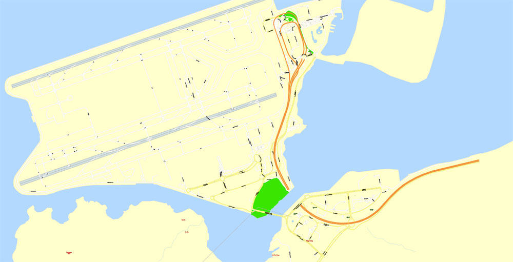
Principal streets, No Buildings. English street names, Map for publishing, design, print, arts, projects, presentations, for architects, designers and builders. Royalty Free.
Separated layers: back, street lines, names 1, 2, 3, street arrows, some POI, scales.
DXF, DWG, CDR and other formats – on request, same price, please, contact.
Hong Kong, China.
This vector map of Hong Kong city is used as a basis for design, editing, and further printing.
This is the most detailed, exact map of Hong Kong city for high-quality printing and polygraphy. You can always clarify the map development date by contacting us.
For your convenience, all objects on Hong Kong vector city map are divided into layers. And the editing is very easy – colors, lines, etc.
You can easily add any objects needed (e.g. shops, salons, sale points, gas station or attraction) on any layer of Hong Kong vector map.
Hong Kong is a special administrative region on the eastern side of the Pearl River estuary in southern China. With over 7.4 million people of various nationalities in a 1,104-square-kilometre (426 sq mi) territory, Hong Kong is the world’s fourth-most-densely-populated region.
One of the advantages of Hong Kong city vector maps of our production is the relevance of cartographic data, we constantly update all our products.
This vector map of Hong Kong city is used by:
designers, layout designers, printers, advertisers and architects. Our product – vector maps – is designed for further editing and printing in large formats – from @Wall format (a few meters) to A-0 and A-1, A-2, A-3.
The Hong Kong city map in vector format is used for design, urban planning, presentations and media visualizations.
The advertising and presentation map of Hong Kong city (usually the final designer marks the routes, and puts the client’s objects (shops, saloons, gas stations etc.)
The undoubted advantage is that people will NEVER throw out this advertising product – the map. In fact, as an advertising medium, a city map is the most “long-playing” of the well-known polygraphic advertising media, with the longest lifespan, and the maximum number of interactions with the customer.
For travelers, maps are sold at the airports and gas stations around the world. Often the source is our vector maps.
Take a look, who purchases our vector maps of Hong Kong city in “Our Clients and Friends” page – these are large and small companies, from super-brands like Volvo and Starbucks, to small design studios and printing houses.
It’s very easy to work with vector maps of Hong Kong city, even for a not very experienced designer who can turn on and off the map layers, add new objects, change the colors of fill and lines according to customer requirements.
The undoubted advantage of Hong Kong city vector maps in printing is an excellent and detailed visualization, when customer can expand a large paper map and instantly define his location, find a landmark, an object or address on map, unlike using the popular electronic formats of Google and Yandex maps for example.
Printable vector maps of Hong Kong city are much more convenient and efficient than any electronic maps on your smartphone, because ALL DETAILS are displayed in the entire space of Hong Kong city map.
Useful tips on working with vector maps of cities and countries in Adobe Illustrator.
«V» – launches the Selection tool (cursor, black arrow), which makes active any vector line.
«А» – launches the Direct Selection tool (white cursor), allows you to select curve elements and drag them to the desired place.
«R» – activates the Rotate tool, which helps you rotating selected objects around the center point by 360 degrees.
«E» – gives you the opportunity to use the Eraser tool and erase unnecessary parts.
«X» – switches between Fill and Stroke in the Tools section. Try to get used to this hot key and
you will quickly understand that you can’t live and work without it.
Guides are not limited to vertical and horizontal in Adobe Illustrator. You can also create a diagonal guide for example. Moreover, you can turn any contours into guides. Select the outline and go to View > Guides > Make Guides (Create Guides), or simply press Cmd/Ctrl + 5. You can also turn the guides back into an editable object. Go to menu, View > Guides > Unlock Guides (Release Guides), select the guide you want to edit and select View > Guides > Release Guides (Reset Guides), or just press Cmd/Ctrl + Option / Alt + 5).
You will probably want to change the color scheme used on our Hong Kong vector city map.
To quickly and effectively play with colors.
Of course, you can do it manually, all objects in our Hong Kong city vector map are divided according to types and layers, and you can easily change the color gamma of vector objects in groups and layers.
But there is more effective way of working with the whole VECTOR MAP of Hong Kong city and all layers:
The overview dialog «Edit colors»/«Repaint Graphic Object» (this dialog box name can change depending on the context):
If you have selected a part or a layer of Hong Kong city vector map and open the dialog box by clicking the icon in the Control panel, on the Samples palette or the Color Catalog, or if you choose Edit > Edit Colors> Repaint Graphic Object, then the «Repaint Graphic Object» dialog box appears, and you get access to «Assign» and «Edit» tabs.
If a picture or a map fragment is not selected, and you open the dialog box by clicking the icon in the Control panel, on the Samples palette or in the Color Catalog, the «Edit Colors» dialog box appears and you can only access the «Edit» tab.
Regardless of the name at the top of the dialog box, the right-hand side always displays the color group of the current document, as well as two default color groups: Print Color and Grayscale. These color groups can be selected and used any time.
Hong Kong became a colony of the British Empire after Qing China ceded Hong Kong Island at the end of the First Opium War in 1842. The colony expanded to the Kowloon Peninsula in 1860 after the Second Opium War, and was further extended when Britain obtained a 99-year lease of the New Territories in 1898. The territory was returned to China when the lease expired in 1997. As a special administrative region, Hong Kong’s system of government is separate from that of mainland China.

Create and edit color groups of Hong Kong city vector map, and also assign colors using the «Edit Colors»/ а «Repaint Graphic Object» dialog box.
A. Creating and editing of a color group on the «Edit» tab
B. Assigning colors on the «Assign» tab
C. Select a group of colors from the «Color groups» list
The option «Repaint a graphic object» in the lower part of the dialog box allows you to preview the colors on a selected layer of Vector map, or a group of elements, and specify whether its colors will be redefined when the dialog box is closed.
The main areas of the dialog box are:
«Edit»
The «Edit» tab is designed to create a new or edit the existing color groups.
The harmony rules Menu and the Color Wheel are used to conduct experiments with color harmonies. The color wheel shows how colors are related in color harmony, and the color bars allow you to view and manipulate an individual color values. In addition, you can adjust the brightness, add and remove colors, save color groups and view colors on the selected Vector Map of Hong Kong city or a separated layers.
Originally a sparsely populated area of farming and fishing villages, the territory has become one of the world’s most significant financial centres and commercial ports. It is the world’s seventh-largest trading entity, and its legal tender (the Hong Kong dollar) is the world’s 13th-most-traded currency. Although the city has one of the highest per capita incomes in the world, it has severe income inequality.
«Assign»
The «Assign» tab is used to view and control on how the original colors are replaced with colors from the color group like your corporate colors in the Vector Map of Hong Kong city.
The assign color ability is provided only if the entire map, layer or fragment is selected in the document. You can specify which of new colors replace the current colors, whether the spot colors should be preserved and how colors are replaced (for example, you can replace colors completely or changing the color tone while maintaining the brightness). The «Assign» tab allows you to redefine colors in the Vector Map of Hong Kong city, or in separate layers and fragments using the current color group or reducing the number of colors in the current Vector Map.
The territory has the largest number of skyscrapers in the world, most surrounding Victoria Harbour. Hong Kong ranks seventh on the UN Human Development Index, and has the seventh-longest life expectancy in the world. Although over 90 per cent of its population uses public transportation, air pollution from neighbouring industrial areas of mainland China has resulted in a high level of atmospheric particulates.
Color groups
Is a list of all saved color groups for current document (the same groups appear in the «Samples» palette). You can edit and delete the existing color groups, as well as creating a new ones using the list of “Color Groups” in the dialog box. All changes appear in the «Samples» palette.
The highlighted color group shows, which color group is currently edited.
Any color group can be selected and edited, or used to redefine the colors in the selected vector map of Hong Kong city, its fragments or elements.
Saving a color group adds this group to the specified list.
Opening the «Edit Colors»/«Repaint Graphic Object» dialog box.
Open the «Edit Colors»/«Repaint Graphic Object» dialog box using one of the following methods:
«Edit»> «Edit Colors»> «Repaint Graphic object» or «Repaint With Style».
Geography
Hong Kong is on China’s southern coast, 60 km (37 mi) east of Macau, on the east side of the mouth of the Pearl River estuary. It is surrounded by the South China Sea on all sides except the north, which neighbours the Guangdong city of Shenzhen along the Sham Chun River. The territory’s 2,755 km2 (1,064 sq mi) area consists of Hong Kong Island, the Kowloon Peninsula, the New Territories, Lantau Island, and over 200 other islands.
Use these commands if you need to edit the colors in the selected vector map of Hong Kong city.
«Repaint Graphic object» button on the «Control» panel.
Use this button if you need to adjust colors of Hong Kong city vector map using the а «Repaint graphic object» dialog box.
The specified button is available if the selected vector map or its fragment contains two or more colors.
Note. This color editing method is convenient for global color adjustment in a vector map, if global colors were not used when creating a City Map of Hong Kong.
The «Edit colors» button or «Edit or apply colors» on the «Color Catalog» palette
Click this button if you need to edit colors on the «Color Catalog» palette or edit and then apply them to the selected Vector Map of Hong Kong city or its fragment.
Of the total area, 1,073 km2 (414 sq mi) is land and 35 km2 (14 sq mi) is water. The territory’s highest point is Tai Mo Shan, 957 metres (3,140 ft) above sea level. Urban development is concentrated on the Kowloon Peninsula, Hong Kong Island, and in new towns throughout the New Territories. Much of this is built on reclaimed land, due to the lack of developable flat land; 70 km2 (27 sq mi) (six percent of the total land or about 25 per cent of developed space in the territory) is reclaimed from the sea.
The «Edit color group» button or «Edit or apply color group» on the «Samples» palette.
Click this button if you need to edit the colors in the specific color group or edit and apply them to the selected Vector Map of Hong Kong city or a group of its elements, for example, the whole layer “Streets and lines”. You can also double-click the color group in the Samples panel to open the dialog box.
If the map file is too large and your computer freezes or even can’t open it quickly:
1. Try to reduce the color resolution of the video card (display) to 256 colors while working with a large map.
2. Using Windows Task Manager, select all the application you don’t need, while working with map, just turn them off.
3. Launch Adobe Illustrator. (DO NOT OPEN the vector map file)
4. Start the Windows Task Manager using administrator rights > Find the “Illustrator” process > set the «real time» priority,
5. Open the file. When you see the LEGACY FONT popup window – click “OK” (do not update). You can restore the TEXT later.
6. Can also be useful: When file is opened – Edit > Settings > Basic Settings > disable smoothing. /// It looks scary, but works quickly)))
We recommend saving the file in Adobe Illustrator 10 version. It’s much more stable when working with VERY BIG size files.
Undeveloped terrain is hilly to mountainous, with very little flat land, and consists mostly of grassland, woodland, shrubland, or farmland. About 40 percent of the remaining land area are country parks and nature reserves. The territory has a diverse ecosystem; over 3,000 species of vascular plants occur in the region (300 of which are native to Hong Kong), and thousands of insect, avian, and marine species.
The geography of Hong Kong primarily consists of three main territories: Hong Kong Island, Kowloon Peninsula, and the New Territories.
The name “Hong Kong”, literally meaning “fragrant harbour”, is derived from the area around present-day Aberdeen on Hong Kong Island, where fragrant wood products and incense were once traded. The narrow body of water separating Hong Kong Island and Kowloon Peninsula, Victoria Harbour, is one of the deepest natural maritime ports in the world. Hong Kong and its 260 territorial islands and peninsulas are located in the South China Sea, at the mouth of the Pearl River Delta.
The Kowloon Peninsula to the south of Boundary Street and the New Territories to the north of Hong Kong Island were added to Colonial Hong Kong in 1860 and 1898 respectively. The landscape of Hong Kong is fairly hilly to mountainous with steep slopes. The highest point in the territory is Tai Mo Shan, at a height of 958 metres. Lowlands exist in the northwestern part of the New Territories.
Hong Kong is 60 km east of Macau on the opposite side of the Pearl River estuary. It has a land border with Shenzhen to the north. The remaining land is reserved as country parks and nature reserves.

Small guide: How to work with the vector map?
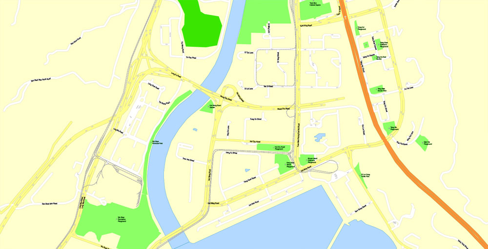
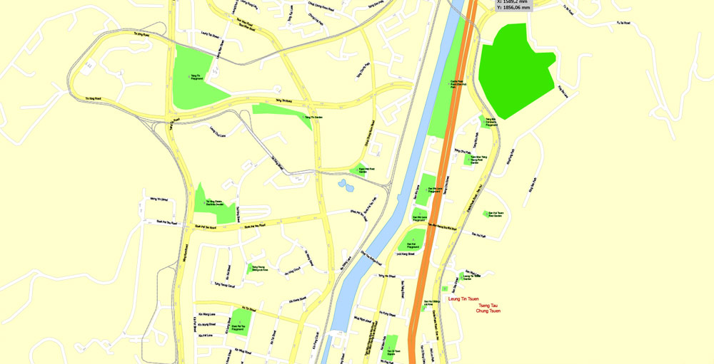
You can: Mass select objects by type and color – for example, the objects type “building” (they are usually dark gray) – and remove them from the map, if you do not need them in your print or design project. You can also easily change the thickness of lines (streets), just bulk selection the road by the line color.
The streets are separated by type, for example, type “residential road” are usually white with a gray stroke. Highway usually orange with a brown or dark gray stroke.
It is easy to change the font of inscriptions, all or each individually. Also, just can be make and any other manipulation of objects on the vector map in Adobe illustrator format.
Important: All the proportions on the map are true, that is, the relative sizes of the objects are true, because Map is based on an accurate GPS projection, and It transated into the (usual for all) the Mercator projection.
You can easily change the color, stroke and fill of any object on the map, zoom without loss of quality Image Verification.
Select object

Bulk selection the same objects on the vector map

See the bulk selected objects on the vector map

Bulk delete buildungs from the vector map

Select residencial road (small street) on the vector map

Bulk selection the same lines (streets, roads) on the full map

Create fat lines of the streets on the vector maps (bulk action) 1

Create fat lines of the streets on the vector maps (bulk action) 2

Create fat lines of the streets on the vector maps (bulk action) 3

You can easily change the color, stroke and fill of any object on the map, zoom without loss of quality Image Verification.

 Author: Kirill Shrayber, Ph.D. FRGS
 01 V3.09, full vector")

