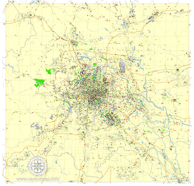
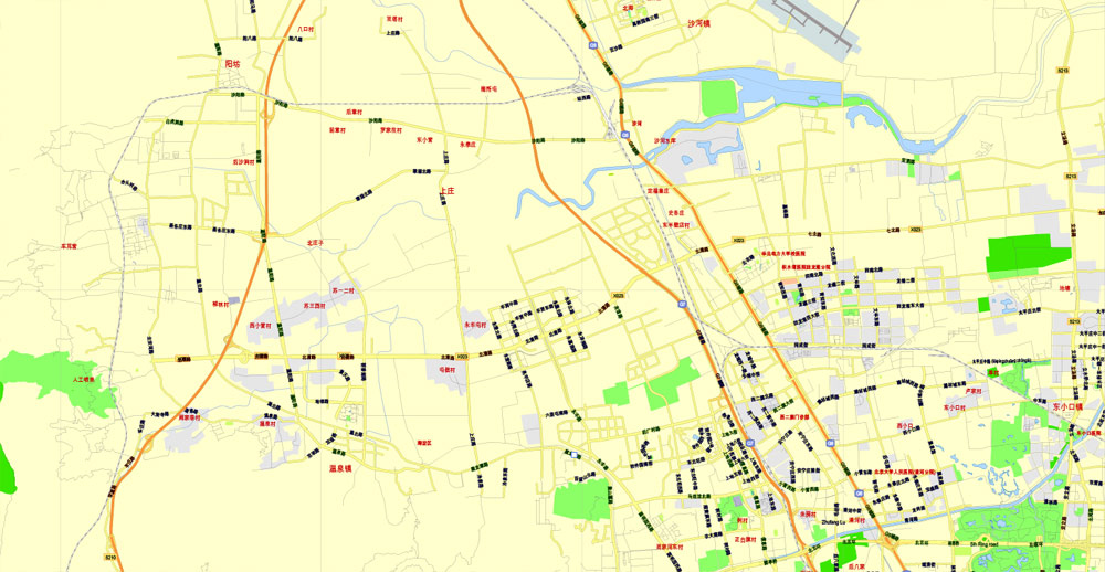
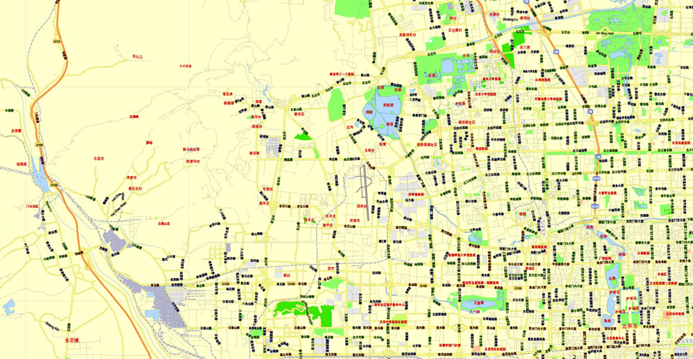
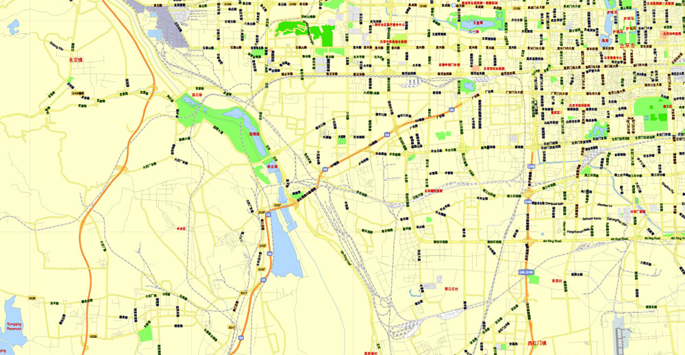
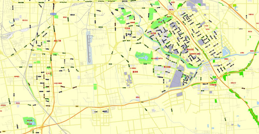
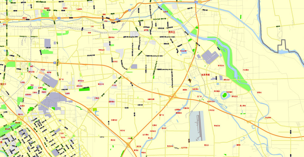
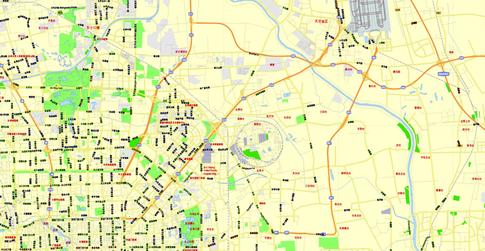
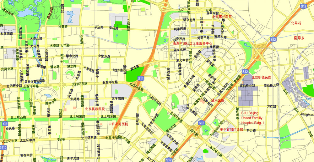
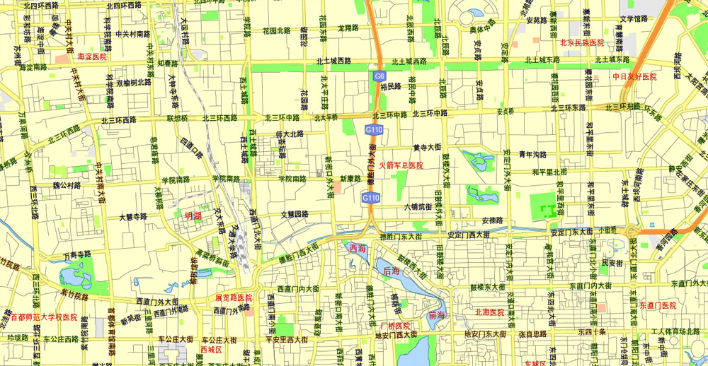
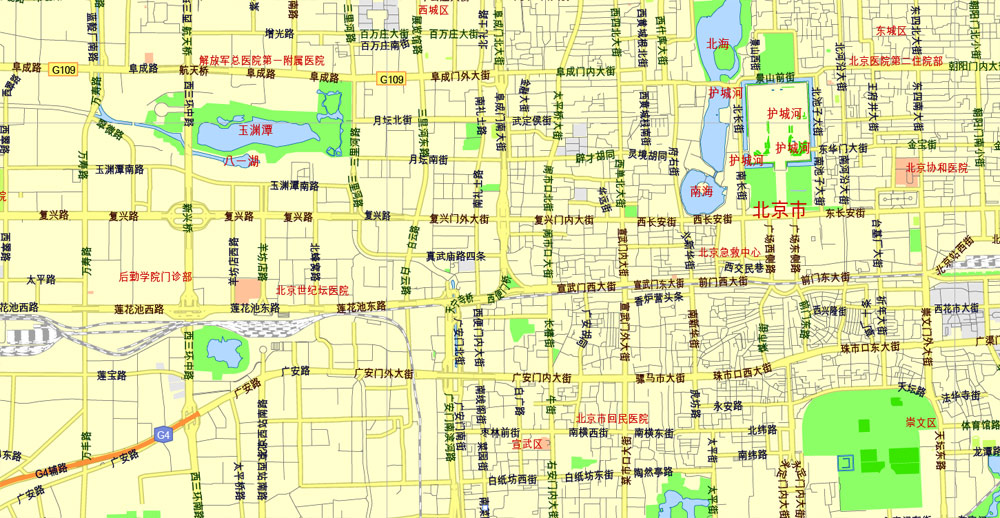
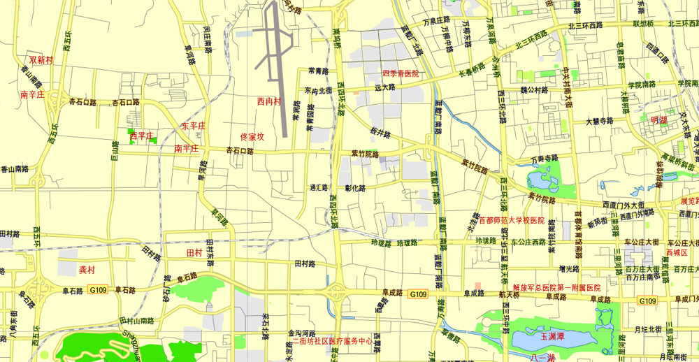
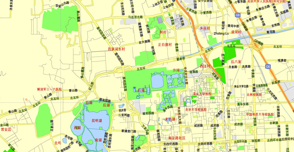
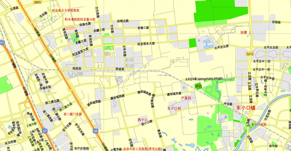
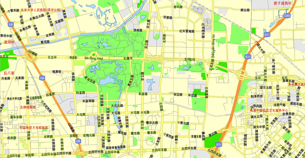
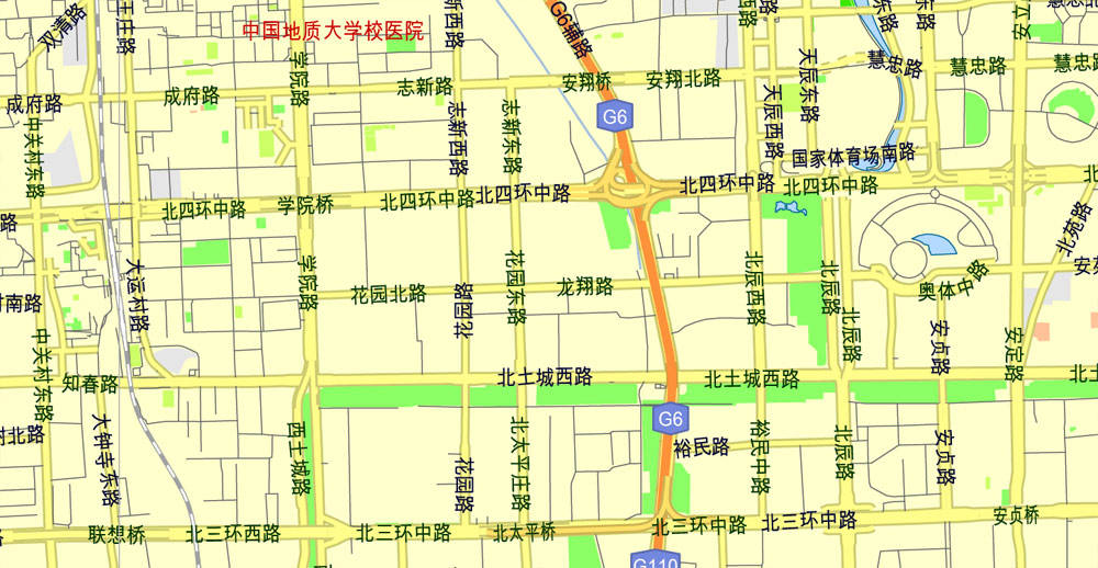
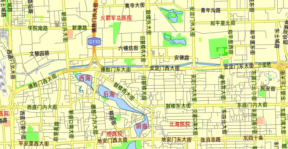
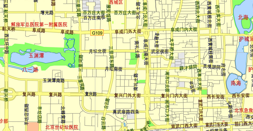
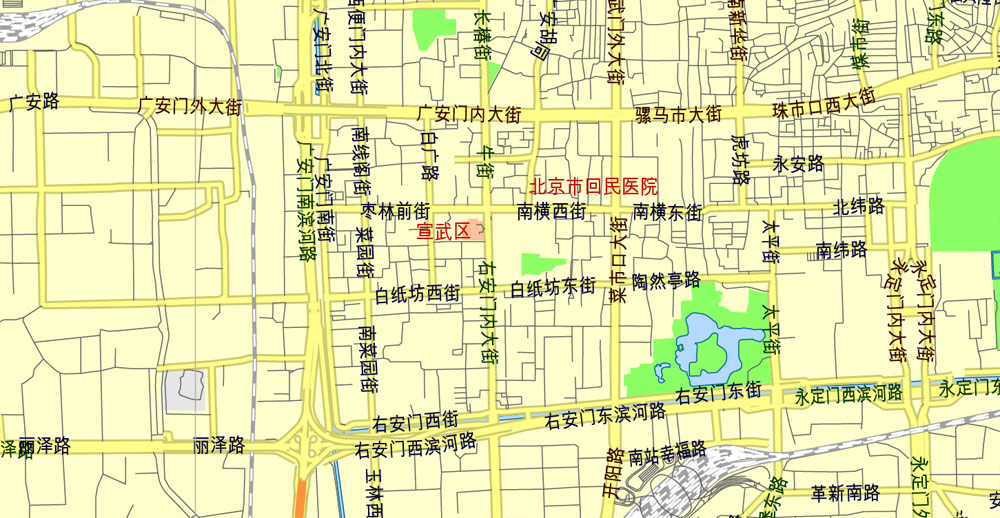
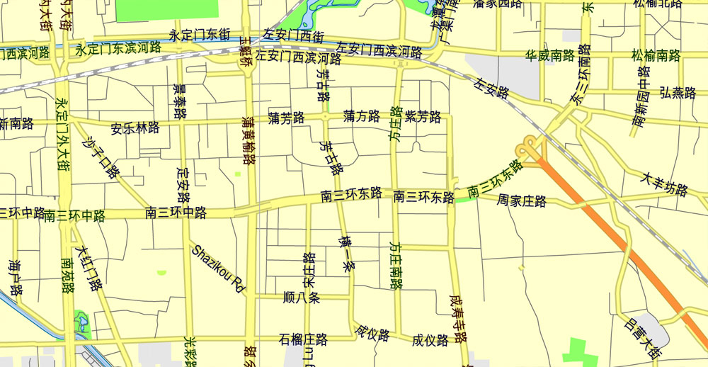
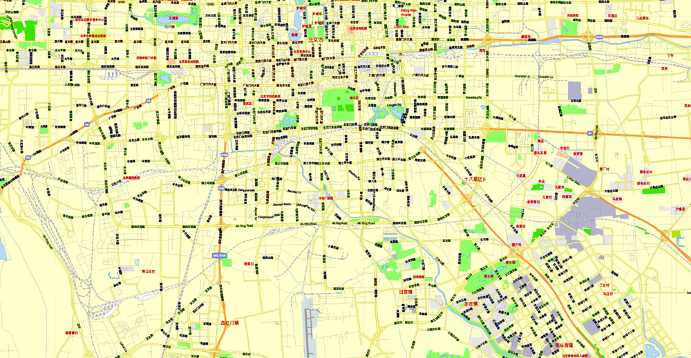
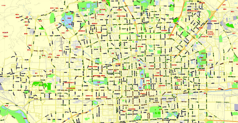
Beijing, China, printable vector street G-view Level 13 (2.000 meters) map, full editable, Adobe illustrator, full vector, scalable, editable, text format street names, 7 mb ZIP
All streets, No Buildings. Named main streets, Map for publishing, design, print, arts, projects, presentations, for architects, designers and builders. Royalty Free.
Separated layers: back, grownd, names 1, 2, 3, 4, road labels, scales.
ATTENTION! Font: Arial Unicode MS, Microsoft.
https://www.microsoft.com/typography/fonts/font.aspx?FMID=1081
DXF, DWG, CDR and other formats – on request, same price, please, contact.
Beijing, China.
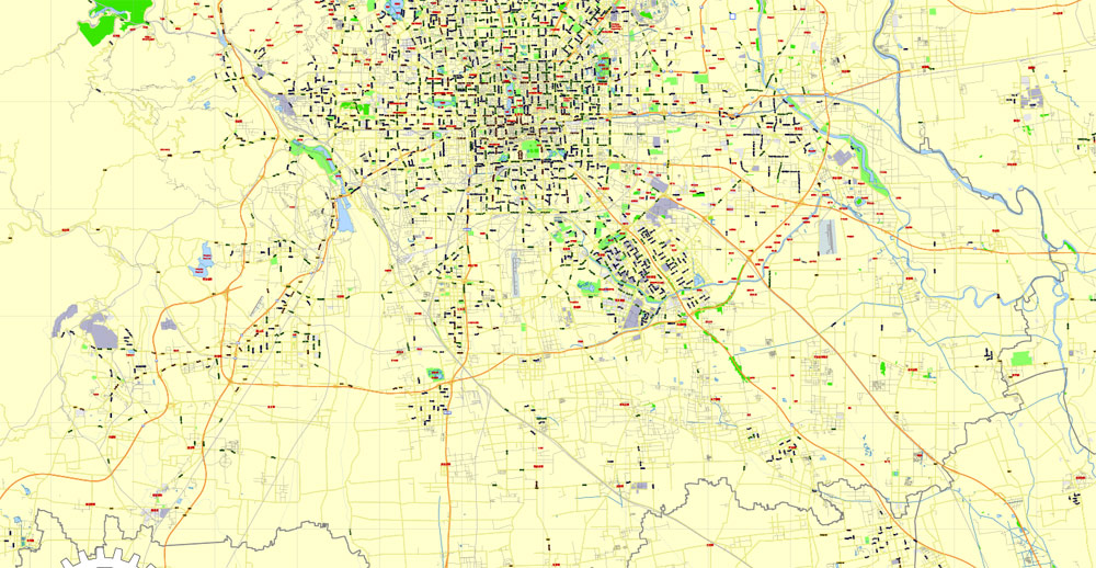
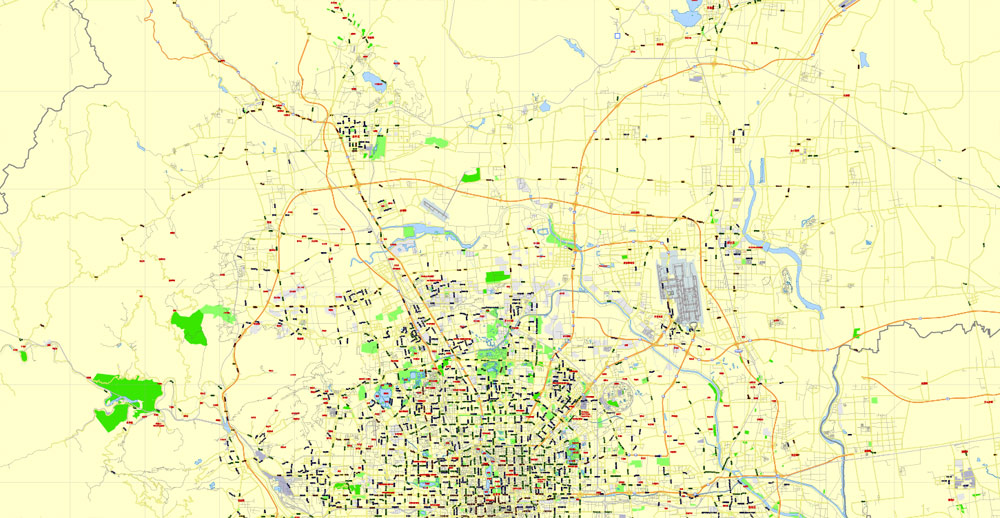
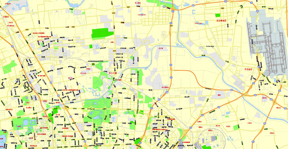
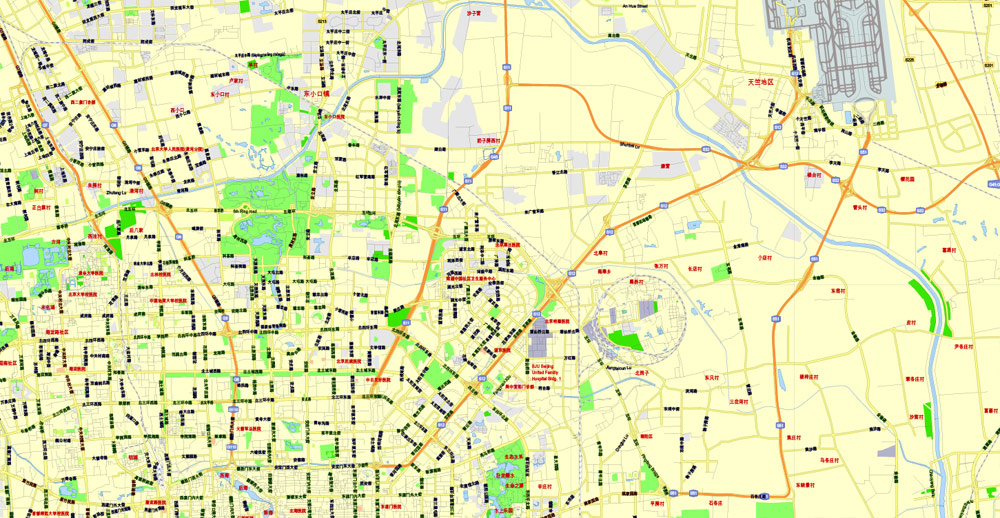
This vector map of Beijing is used as a basis for design, editing, and further printing.
This is the most detailed, exact map of Beijing for high-quality printing and polygraphy. You can always clarify the map development date by contacting us.
For your convenience, all objects on Beijing vector map are divided into layers. And the editing is very easy – colors, lines, etc.
You can easily add any objects needed (e.g. shops, salons, sale points, gas station or attraction) on any layer of Beijing vector map.
Beijing formerly romanized as Peking, is the capital of the People’s Republic of China, the world’s third most populous city proper, and most populous capital city. The city, located in northern China, is governed as a municipality under the direct administration of central government with 16 urban, suburban, and rural districts. Beijing Municipality is surrounded by Hebei Province with the exception of neighboring Tianjin Municipality to the southeast; together the three divisions form the Jingjinji metropolitan region and the national capital region of China.
One of the advantages of Beijing vector maps of our production is the relevance of cartographic data, we constantly update all our products.
This vector map of Beijing is used by:
designers, layout designers, printers, advertisers and architects. Our product – vector maps – is designed for further editing and printing in large formats – from @Wall format (a few meters) to A-0 and A-1, A-2, A-3.
Beijing map in vector format is used for design, urban planning, presentations and media visualizations.
Advertising and presentation map of Beijing (usually the final designer marks the routes, and puts the client’s objects (shops, saloons, gas stations etc.)
The undoubted advantage is that people will NEVER throw out this advertising product – the map. In fact, as an advertising medium, a map is the most “long-playing” of the well-known polygraphic advertising media, with the longest lifespan, and the maximum number of interactions with the customer.
For travelers, maps are sold at the airports and gas stations around the world. Often the source is our vector maps.
Take a look, who purchases our vector maps of Beijing in “Our Clients and Friends” page – these are large and small companies, from super-brands like Volvo and Starbucks, to small design studios and printing houses.
It’s very easy to work with vector maps of Beijing, even for a not very experienced designer who can turn on and off the map layers, add new objects, change the colors of fill and lines according to customer requirements.
The undoubted advantage of Beijing vector maps in printing is an excellent and detailed visualization, when customer can expand a large paper map and instantly define his location, find a landmark, an object or address on map, unlike using the popular electronic formats of Google and Yandex maps for example.
Printable vector maps of Beijing are much more convenient and efficient than any electronic maps on your smartphone, because ALL DETAILS are displayed in the entire space of Beijing map.
Useful tips on working with vector maps of cities and countries in Adobe Illustrator.
«V» – launches the Selection tool (cursor, black arrow), which makes active any vector line.
«А» – launches the Direct Selection tool (white cursor), allows you to select curve elements and drag them to the desired place.
«R» – activates the Rotate tool, which helps you rotating selected objects around the center point by 360 degrees.
«E» – gives you the opportunity to use the Eraser tool and erase unnecessary parts.
«X» – switches between Fill and Stroke in the Tools section. Try to get used to this hot key and
you will quickly understand that you can’t live and work without it.
Guides are not limited to vertical and horizontal in Adobe Illustrator. You can also create a diagonal guide for example. Moreover, you can turn any contours into guides. Select the outline and go to View > Guides > Make Guides (Create Guides), or simply press Cmd/Ctrl + 5. You can also turn the guides back into an editable object. Go to menu, View > Guides > Unlock Guides (Release Guides), select the guide you want to edit and select View > Guides > Release Guides (Reset Guides), or just press Cmd/Ctrl + Option / Alt + 5).
You will probably want to change the color scheme used on our Beijing vector map.
To quickly and effectively play with colors.
Of course, you can do it manually, all objects in our Beijing vector map are divided according to types and layers, and you can easily change the color gamma of vector objects in groups and layers.
But there is more effective way of working with the whole VECTOR MAP of Beijing and all layers:
The overview dialog «Edit colors»/«Repaint Graphic Object» (this dialog box name can change depending on the context):
If you have selected a part or a layer of Beijing vector map and open the dialog box by clicking the icon in the Control panel, on the Samples palette or the Color Catalog, or if you choose Edit > Edit Colors> Repaint Graphic Object, then the «Repaint Graphic Object» dialog box appears, and you get access to «Assign» and «Edit» tabs.
If a picture or a map fragment is not selected, and you open the dialog box by clicking the icon in the Control panel, on the Samples palette or in the Color Catalog, the «Edit Colors» dialog box appears and you can only access the «Edit» tab.
Regardless of the name at the top of the dialog box, the right-hand side always displays the color group of the current document, as well as two default color groups: Print Color and Grayscale. These color groups can be selected and used any time.
Create and edit color groups of Beijing vector map, and also assign colors using the «Edit Colors»/ а «Repaint Graphic Object» dialog box.
A. Creating and editing of a color group on the «Edit» tab
B. Assigning colors on the «Assign» tab
C. Select a group of colors from the «Color groups» list
The option «Repaint a graphic object» in the lower part of the dialog box allows you to preview the colors on a selected layer of Vector map, or a group of elements, and specify whether its colors will be redefined when the dialog box is closed.
The main areas of the dialog box are:
«Edit»
The «Edit» tab is designed to create a new or edit the existing color groups.
The harmony rules Menu and the Color Wheel are used to conduct experiments with color harmonies. The color wheel shows how colors are related in color harmony, and the color bars allow you to view and manipulate an individual color values. In addition, you can adjust the brightness, add and remove colors, save color groups and view colors on the selected Vector Map of Beijing or a separated layers.
«Assign»
The «Assign» tab is used to view and control on how the original colors are replaced with colors from the color group like your corporate colors in the Vector Map of Beijing.
The assign color ability is provided only if the entire map, layer or fragment is selected in the document. You can specify which of new colors replace the current colors, whether the spot colors should be preserved and how colors are replaced (for example, you can replace colors completely or changing the color tone while maintaining the brightness). The «Assign» tab allows you to redefine colors in the Vector Map of Beijing, or in separate layers and fragments using the current color group or reducing the number of colors in the current Vector Map.
Color groups
Is a list of all saved color groups for current document (the same groups appear in the «Samples» palette). You can edit and delete the existing color groups, as well as creating a new ones using the list of “Color Groups” in the dialog box. All changes appear in the «Samples» palette.
The highlighted color group shows, which color group is currently edited.
Any color group can be selected and edited, or used to redefine the colors in the selected vector map of Beijing , its fragments or elements.
Saving a color group adds this group to the specified list.
Opening the «Edit Colors»/«Repaint Graphic Object» dialog box.
Open the «Edit Colors»/«Repaint Graphic Object» dialog box using one of the following methods:
«Edit»> «Edit Colors»> «Repaint Graphic object» or «Repaint With Style».
Beijing is an important capital and global power city, and one of the world’s leading centers for politics, economy and business, finance, education, culture, innovation and technology, architecture, language, and diplomacy. A megacity, Beijing is the second largest Chinese city by urban population after Shanghai and is the nation’s political, cultural, and educational center. It is home to the headquarters of most of China’s largest state-owned companies and houses the largest number of Fortune Global 500 companies in the world. It is also a major hub for the national highway, expressway, railway, and high-speed rail networks. The Beijing Capital International Airport has been the second busiest in the world by passenger traffic since 2010, and, as of 2016, the city’s subway network is the busiest and second longest in the world.
Use these commands if you need to edit the colors in the selected vector map of Beijing.
«Repaint Graphic object» button on the «Control» panel.
Use this button if you need to adjust colors of Beijing vector map using the а «Repaint graphic object» dialog box.
The specified button is available if the selected vector map or its fragment contains two or more colors.
Note. This color editing method is convenient for global color adjustment in a vector map, if global colors were not used when creating a Map of Beijing.
The «Edit colors» button or «Edit or apply colors» on the «Color Catalog» palette
Click this button if you need to edit colors on the «Color Catalog» palette or edit and then apply them to the selected Vector Map of Beijing or its fragment.
The «Edit color group» button or «Edit or apply color group» on the «Samples» palette.
Click this button if you need to edit the colors in the specific color group or edit and apply them to the selected Vector Map of Beijing or a group of its elements, for example, the whole layer “Streets and lines”. You can also double-click the color group in the Samples panel to open the dialog box.
If the map file is too large and your computer freezes or even can’t open it quickly:
1. Try to reduce the color resolution of the video card (display) to 256 colors while working with a large map.
2. Using Windows Task Manager, select all the application you don’t need, while working with map, just turn them off.
3. Launch Adobe Illustrator. (DO NOT OPEN the vector map file)
4. Start the Windows Task Manager using administrator rights > Find the “Illustrator” process > set the «real time» priority,
5. Open the file. When you see the LEGACY FONT popup window – click “OK” (do not update). You can restore the TEXT later.
6. Can also be useful: When file is opened – Edit > Settings > Basic Settings > disable smoothing. /// It looks scary, but works quickly)))
We recommend saving the file in Adobe Illustrator 10 version. It’s much more stable when working with VERY BIG size files.
Combining both modern and traditional architecture, Beijing is one of the oldest cities in the world, with a rich history dating back three millennia. As the last of the Four Great Ancient Capitals of China, Beijing has been the political center of the country for most of the past eight centuries, and was the largest city in the world by population for much of the second millennium A.D. Encyclopaedia Britannica notes that “few cities in the world have served for so long as the political headquarters and cultural center of an area as immense as China.” With mountains surrounding the inland city on three sides, in addition to the old inner and outer city walls, Beijing was strategically poised and developed to be the residence of the emperor and thus was the perfect location for the imperial capital. The city is renowned for its opulent palaces, temples, parks, gardens, tombs, walls and gates. It has seven UNESCO World Heritage Sites – the Forbidden City, Temple of Heaven, Summer Palace, Ming Tombs, Zhoukoudian, and parts of the Great Wall and the Grand Canal – all popular locations for tourism. Siheyuans, the city’s traditional housing style, and hutongs, the narrow alleys between siheyuans, are major tourist attractions and are common in urban Beijing.
Many of Beijing’s 91 universities consistently rank among the best in China, among which Peking University and Tsinghua University are ranked in the top 60 universities of the world. Beijing CBD is a center for Beijing’s economic expansion, with the ongoing or recently completed construction of multiple skyscrapers. Beijing’s Zhongguancun area is known as China’s Silicon Valley and a center of innovation and technology entrepreneurship.
Beijing is situated at the northern tip of the roughly triangular North China Plain, which opens to the south and east of the city. Mountains to the north, northwest and west shield the city and northern China’s agricultural heartland from the encroaching desert steppes.
The northwestern part of the municipality, especially Yanqing County and Huairou District, are dominated by the Jundu Mountains, while the western part is framed by Xishan or the Western Hills. The Great Wall of China across the northern part of Beijing Municipality was built on the rugged topography to defend against nomadic incursions from the steppes.
Mount Dongling, in the Western Hills and on the border with Hebei, is the municipality’s highest point, with an altitude of 2,303 metres (7,556 ft).
Major rivers flowing through the municipality, including the Chaobai, Yongding, Juma, are all tributaries in the Hai River system, and flow in a southeasterly direction.
The Miyun Reservoir, on the upper reaches of the Chaobai River, is the largest reservoir within the municipality. Beijing is also the northern terminus of the Grand Canal to Hangzhou, which was built over 1,400 years ago as a transportation route, and the South–North Water Transfer Project, constructed in the past decade to bring water from the Yangtze River basin.
The urban area of Beijing, on the plains in the south-central of the municipality with elevation of 40 to 60 metres (130–200 feet), occupies a relatively small but expanding portion of the municipality’s area. The city spreads out in concentric ring roads.
To the west of Tian’anmen is Zhongnanhai, the residence of China’s current leaders. Chang’an Avenue, which cuts between Tiananmen and the Square, forms the city’s main east-west axis.
Administrative divisions
Beijing Municipality currently comprises 16 administrative county-level subdivisions including 16 urban, suburban, and rural districts. On 1 July 2010, Chongwen and Xuanwu were merged into Dongcheng and Xicheng, respectively. On 13 November 2015 Miyun and Yanqing were upgraded to districts.
Towns
Beijing’s 16 county-level divisions (districts) are further subdivided into 273 lower third-level administrative units at the township level: 119 towns, 24 townships, 5 ethnic townships and 125 subdistricts. Towns within Beijing Municipality but outside the urban area include (but are not limited to):
Changping 昌平
Huairou 怀柔
Miyun 密云
Liangxiang 良乡
Liulimiao 琉璃庙
Tongzhou 通州
Yizhuang 亦庄
Tiantongyuan 天通苑
Beiyuan 北苑
Xiaotangshan 小汤山
Several place names in Beijing end with mén (门), meaning “gate”, as they were the locations of gates in the former Beijing city wall.
Other place names end in cūn (村), meaning “village”, as they were originally villages outside the city wall.
Economic zones
Zhongguancun is a technology hub in Haidian District
In 2006, the city government identified six high-end economic output zones around Beijing as the primary engines for local economic growth. In 2012, the six zones produced 43.3% of the city’s GDP, up from 36.5% in 2007. The six zones are:
Zhongguancun, China’s silicon village in Haidian District northwest of the city, is home to both established and start-up tech companies. As of the second quarter of 2014, of the 9,895 companies registered in one of the six zones, 6,150 were based in Zhongguancun.
Beijing Financial Street, in Xicheng District on the west side of the city between Fuxingmen and Fuchengmen, is lined with headquarters of large state banks and insurance companies. The country’s financial regulatory agencies including the central bank, bank regulator, securities regulator, and foreign exchange authority are located in the neighborhood.
Beijing Central Business District (CBD), is actually located to the east of downtown, near the embassies along the eastern Third Ring Road between Jianguomenwai and Chaoyangmenwai. The CBD is home to most of the city’s skyscraper office buildings. Most of the city’s foreign companies and professional service firms are based in the CBD.
Beijing Economic and Technological Development Area, better known as Yizhuang, is an industrial park the straddles the southern Fifth Ring Road in Daxing District. It has attracted pharmaceutical, information technology, and materials engineering companies.
Beijing Airport Economic Zone was created in 1993 and surrounds the Beijing Capital International Airport in Shunyi District northwest of the city. In addition to logistics, airline services, and trading firms, this zone is also home to Beijing’s automobile assembly plants.
Beijing Olympic Center Zone surrounds the Olympic Green due north of downtown and is developing into an entertainment, sports, tourism and business convention center.
Shijingshan, on the western outskirts of the city, is a traditional heavy industrial base for steel-making. Chemical plants are concentrated in the far eastern suburbs.
Less legitimate enterprises also exist. Urban Beijing is known for being a center of infringed goods; anything from the latest designer clothing to DVDs can be found in markets all over the city, often marketed to expatriates and international visitors.
Beijing
Capital of China
Beijing, China’s massive capital, has history stretching back 3 millennia. Yet it’s known as much for its modern architecture as its ancient sites such as the grand Forbidden City complex, the imperial palace during the Ming and Qing dynasties. Nearby, the massive Tiananmen Square pedestrian plaza is the site of Mao Zedong’s mausoleum and the National Museum of China, displaying a vast collection of cultural relics.
Population: 11.51 million
Small guide: How to work with the vector map?
You can: Mass select objects by type and color – for example, the objects type “building” (they are usually dark gray) – and remove them from the map, if you do not need them in your print or design project. You can also easily change the thickness of lines (streets), just bulk selection the road by the line color.
The streets are separated by type, for example, type “residential road” are usually white with a gray stroke. Highway usually orange with a brown or dark gray stroke.
It is easy to change the font of inscriptions, all or each individually. Also, just can be make and any other manipulation of objects on the vector map in Adobe illustrator format.
Important: All the proportions on the map are true, that is, the relative sizes of the objects are true, because Map is based on an accurate GPS projection, and It transated into the (usual for all) the Mercator projection.
You can easily change the color, stroke and fill of any object on the map, zoom without loss of quality Image Verification.
Select object

Bulk selection the same objects on the vector map

See the bulk selected objects on the vector map

Bulk delete buildungs from the vector map

Select residencial road (small street) on the vector map

Bulk selection the same lines (streets, roads) on the full map

Create fat lines of the streets on the vector maps (bulk action) 1

Create fat lines of the streets on the vector maps (bulk action) 2

Create fat lines of the streets on the vector maps (bulk action) 3

You can easily change the color, stroke and fill of any object on the map, zoom without loss of quality Image Verification.

 Author: Kirill Shrayber, Ph.D. FRGS

 map, full editable, Adobe illustrator")
 map, full editable in ENGLISH, Adobe illustrator")