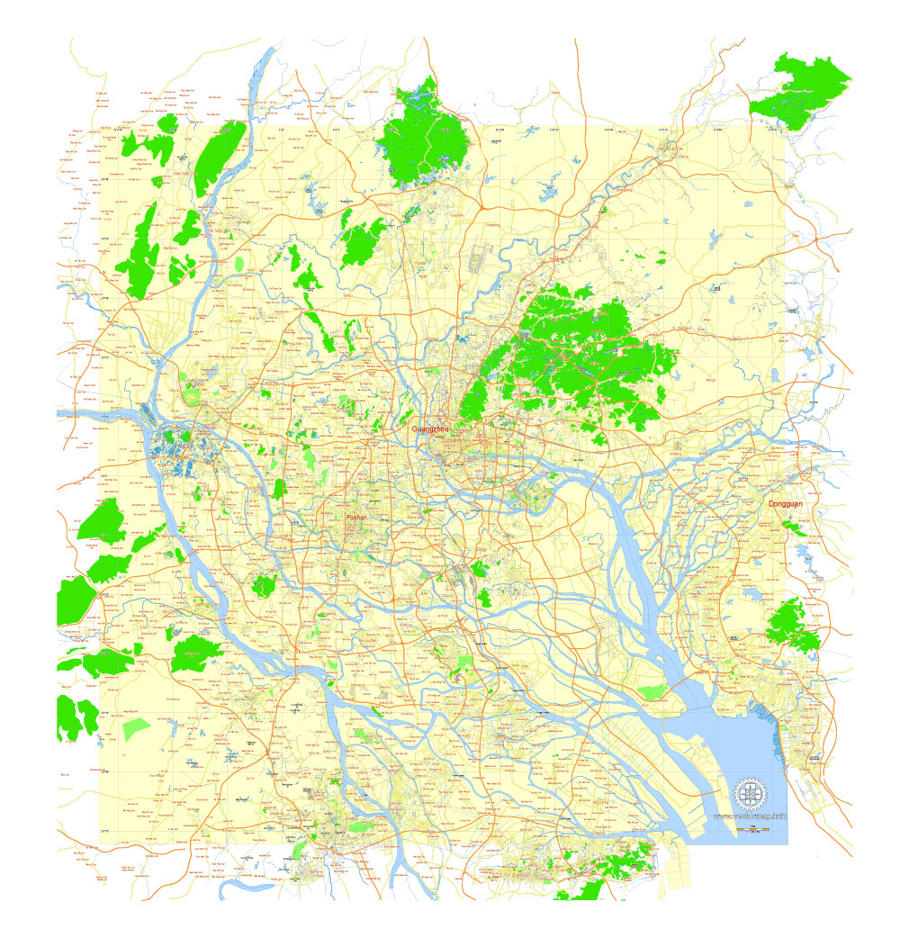
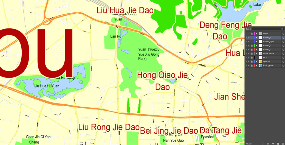
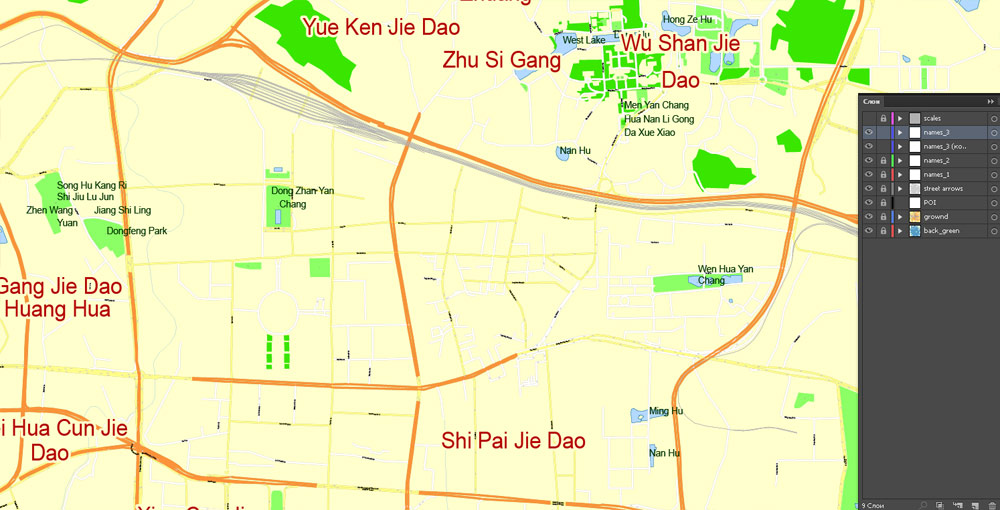
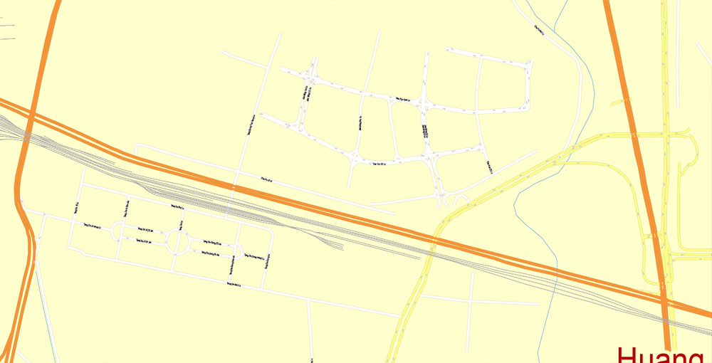
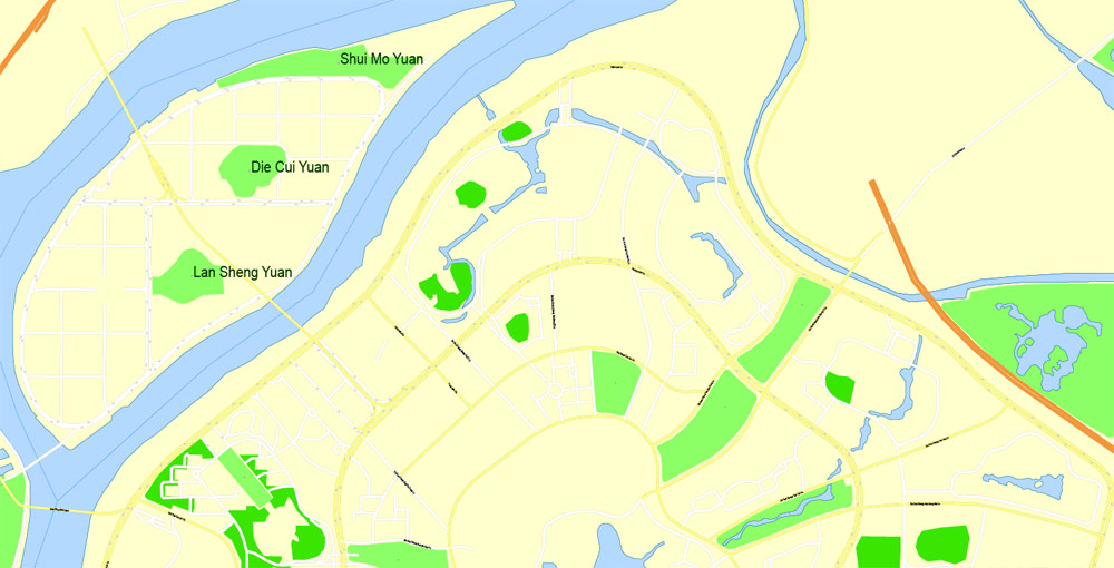
Guangzhou, China, printable vector street G-view Level 17 (100 meters scale) map, full editable in ENGLISH, Adobe illustrator, full vector, scalable, editable, text format street names, 13 mb ZIP
Principal streets, No Buildings. English street names, Map for publishing, design, print, arts, projects, presentations, for architects, designers and builders. Royalty Free.
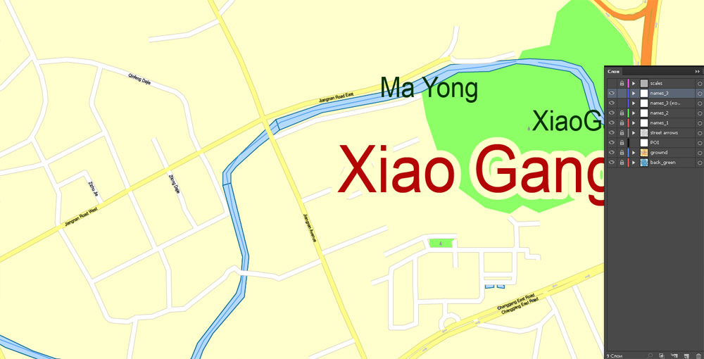
Separated layers: back, street lines, names 1, 2, 3, street arrows, some POI, scales.
DXF, DWG, CDR and other formats – on request, the same price, please, contact.
Urban plan Guangzhou China PDF ENGLISH: Fully editable maps
English name: Guangzhou or Canton, Cantonese: Kwangchow.
It is also sometimes called the city of flowers and the city of five sheep.
Guangzhou’s population: 18,676,600
Postal code: 510000
Airport: Guangzhou Baiyun International Airport
Main events: Canton Fair
Guangzhou, or Canton, a city of sub-provincial significance, the capital of Guangdong Province, is the third-largest city in China after Beijing and Shanghai, with a population exceeding 14 million people. Founded in 214 BC, the city has long been one of the main centers of China’s trade with the outside world, and its development was influenced by numerous reforms and revolutions. The rich history of Guangzhou makes it attractive to visit by numerous tourists who want to get into the culture of the country and understand what exactly influenced the formation of modern China.
Guangzhou is a place where millennial traditions meet modern Chinese reality. The oldest temples in China, ancient parks, tombs of emperors of famous dynasties, and fully preserved villas and churches of Western colonizers on Shamyan Island are located here, and all this is combined with futuristic architecture and a state-of-the-art subway, trains in which run on autopilot.
Evidence
Guangzhou is the third-largest city in China, after Beijing and Shanghai.
Guangzhou is home to the oldest mosque in China – Huaisheng Mosque, which was founded in 630 by the uncle of the Prophet Muhammad, who visited China on a Muslim mission.
Guangzhou was the capital of China three times, in 1925, 1931, and 1949, for a total of about 3 years.
One of the unofficial names of Guangzhou is “The City of Flowers”.
The Canton TV Tower ranks 2nd in the world in height and is among the top 7 tallest buildings in the world. The height of the TV tower is 600 meters.
Guangzhou was part of the maritime Silk Road.
It is the birthplace of the Cantonese language (dialect) and Cantonese cuisine.
Guangzhou is the leader in the number of restaurants in China.
Until 1949, the city was called Canton or Canton, due to the incorrect transliteration of the name of the city by Europeans.
In the mid-19th century, Guangzhou was the first and only city in China open to foreign trade.
GUANGZHOU MARKETS
Guangzhou has historically developed as the main commercial port of China, therefore, in modern times, the city is famous for its wholesale markets and attracts a huge number of businessmen from all over the world. It is safe to say that Guangzhou is the shopping capital of China: there are dozens of specialized shopping centers selling shoes, bags, sunglasses, watches, jewelry, belts and even wedding dresses. Nowhere in the world will you find such a variety of fashionable clothes and accessories. Let’s look at the main wholesale markets and shopping centers.
International Wholesale Shoe Market: On this street, there are more than a dozen shopping centers specializing in the sale of shoes. It is here that all foreigners come, for wholesale and retail purchases of shoes. It is located at: 26 ZhanXi Lu Street, Metro: Guangzhou Railway Station.
Handbags and Leather Goods Market: One of the largest handbag markets in all of South China. There are dozens of shopping centers where you can find bags, backpacks, wallets for every taste. Copies of various brands are also presented here. Name Baiyun World Leather Center (白云市市市).
Wholesale clothing markets: Located around Guangzhou Railway Station. The most famous of them is the Sharik Shopping Center.
Watch Market: a huge range of wristwatches is presented here: both originals of local Chinese stamps and fakes. The name of the market: Zhangxi Watch Market (A).
Xiguan Antiques Street is for all lovers of antiquity and Chinese history.
Jade Street (器器街) Here you can find various products made of jade and other precious stones.
Wholesale Toy and Souvenir Market (街街) is a shopping street where dozens of shopping markets are located, where you can find various goods from soft toys and souvenirs to quadrocopters and gyroscuters. It is located in the area of Yidelu Street, on the sixth line of the metro, “Yide Lu” station).
Wedding Dresses Street is a wholesale and retail market of wedding goods and dresses, located in the Jiangnan dadao bei Street area.
The Consumer goods Market is located on Gaodi Street. Here you can buy everyday goods.
Traditional Goods Street (街街 / 文 文街) – on Wende Street, the First metro line, the station “Peasant movement institute”). A great place to buy antique goods and traditional souvenirs of Chinese masters.
Qingping Traditional Goods Market is a market of traditional Chinese medicine goods and products. It is located next to the Huangsha Metro Station, north of Shamien Island. The market is full of exotic and unusual goods and food: seahorses and cucumbers, herbs and roots, dried insects and much more. Several front rows are reserved for sellers of dried herbs used in traditional medicine. The whole charm of the market lies in the fact that modern new buildings in it are adjacent to the old narrow Cantonese streets, where trade has been conducted for many centuries.
Dashatou Electronic Goods Market (大沙头) – Located at DongHu Metro Station, home appliances, sporting goods, fabrics, camera accessories, and electronics are sold here.
The market of phones and computer equipment: (百电电电城) – The market of electronics, computers, phones, and accessories, located in Tianhe district (metro 3, Ganding).
Souvenir and Toy Market: – (Haizhu Square Metro Station) wholesale market of souvenirs, toys, gifts, jewelry, and decor.
Beijing Lu Pedestrian Street (Beijing Street)
Metro: Gong Yuan Qian, exits C, D.
This is the main shopping street in the city, most of the shops on which are open from 9 am to 10 pm. Be careful: there are often sellers selling pirated discs and counterfeit goods on it. Do not accept the offer to go to a dark alley to look at the goods. And don’t forget to visit the centre Mayflower Plaza (五月花广场 wǔ-yuè-huā-guǎng-chǎng), located at 5th street, Zhongshan, 68 (中山五路68号) at the end of the pedestrian street. This is a popular place for leisure activities among young people.
Shangxiajiu Pedestrian Street
Metro: Changshou lu Station, exits D1, D2.
This shopping area is notable for its traditional Cantonese architecture. It is especially beautiful at night when the lights turn on. Prices here are noticeably lower than on Peking Street, but be prepared to bargain for this. We recommend taking a look at the Liwan Plaza Shopping Center, located at the address: Dexing road 9 (德星路路9号) at the eastern end of Shangxiajiu Street. Here you can buy crystal products.
Taikoo Hui 太古汇
Metro: the third branch of the metro, Shi Pai Qiao station.
A modern shopping center built for wealthy clients. On the third floor, there are Western-style cafes and bistros, popular among expats and locals. The Fanshu bookstore, located on the ground floor, is one of the largest in China.
China Plaza Shopping Center.
Metro: “Martyr’s park” station
Address: 33 Zhongshan Third Street
This shopping center is extremely popular among young people, and its design is made in a modern style. There is a metro station right under it, and in the very center you can find a huge food court where dishes of any cuisine are served: from Sichuan spicy food to Japanese sushi.
Tee Mall Shopping Center
Metro: Tiyu Xilu
It is located at the address: Tianhe lu Street, 208. Located directly above the Tiu Silu Metro Station, Tee Mall is one of the most popular shopping malls in the city.
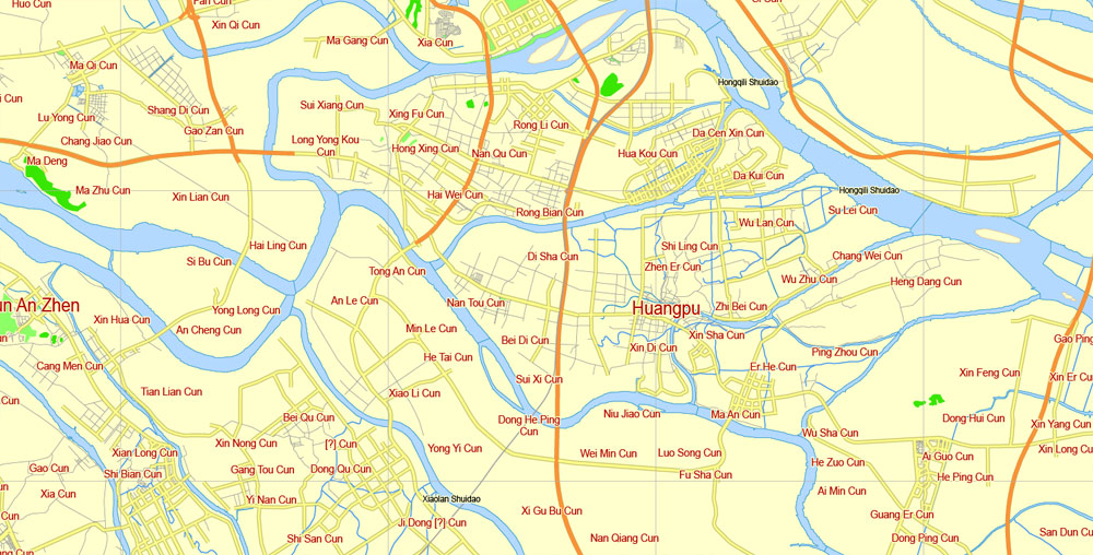
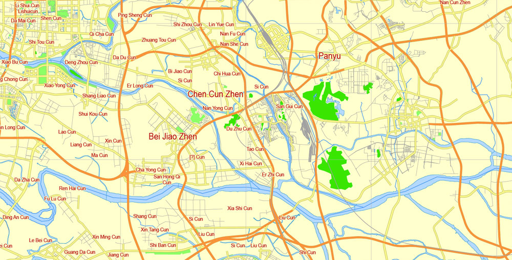
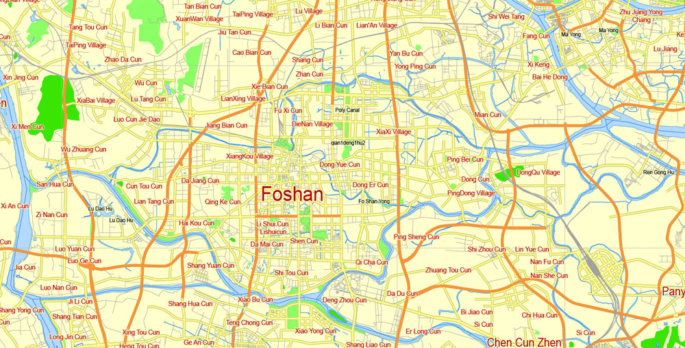
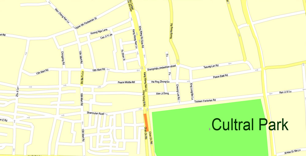
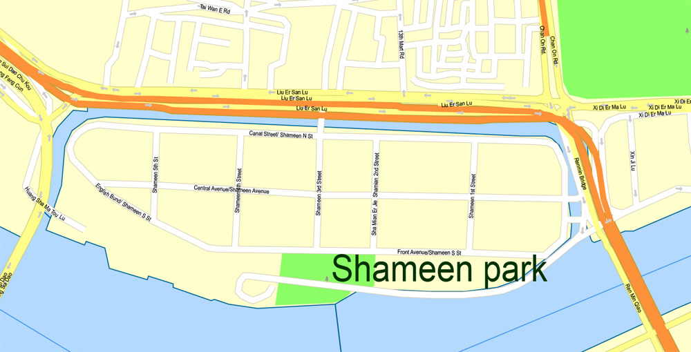
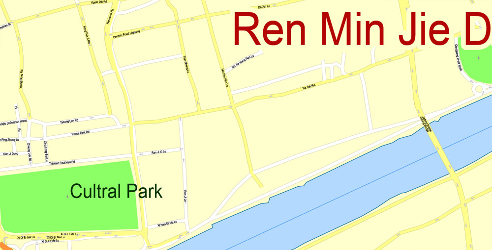
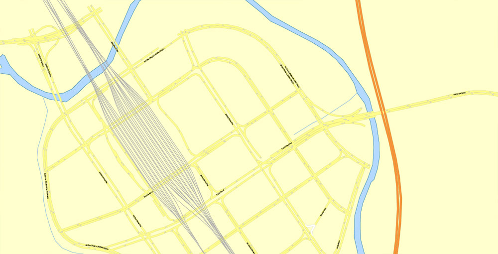
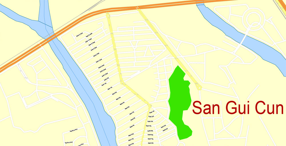
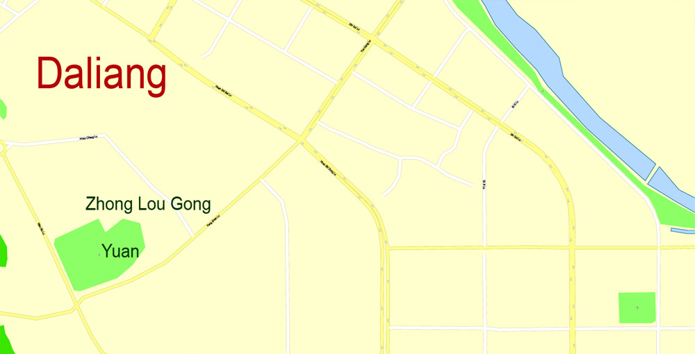
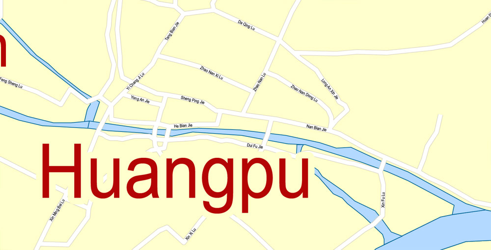
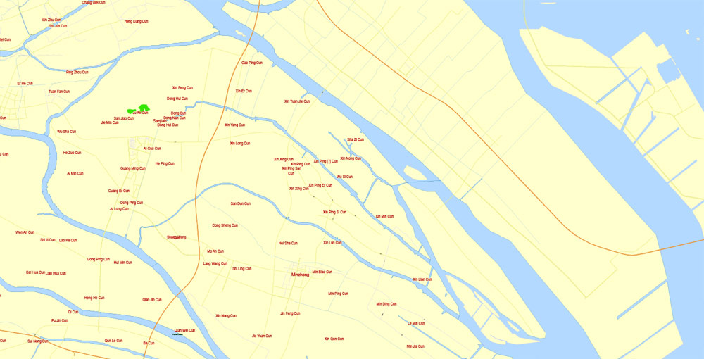
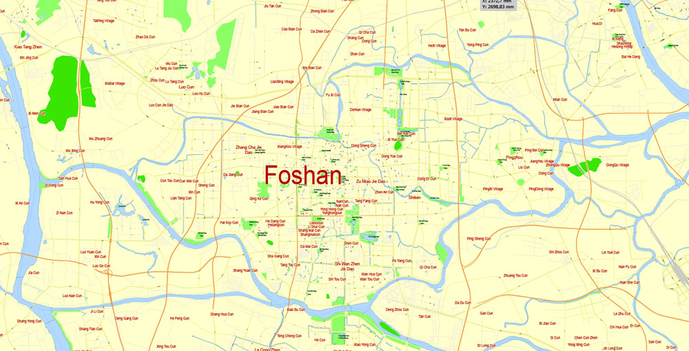
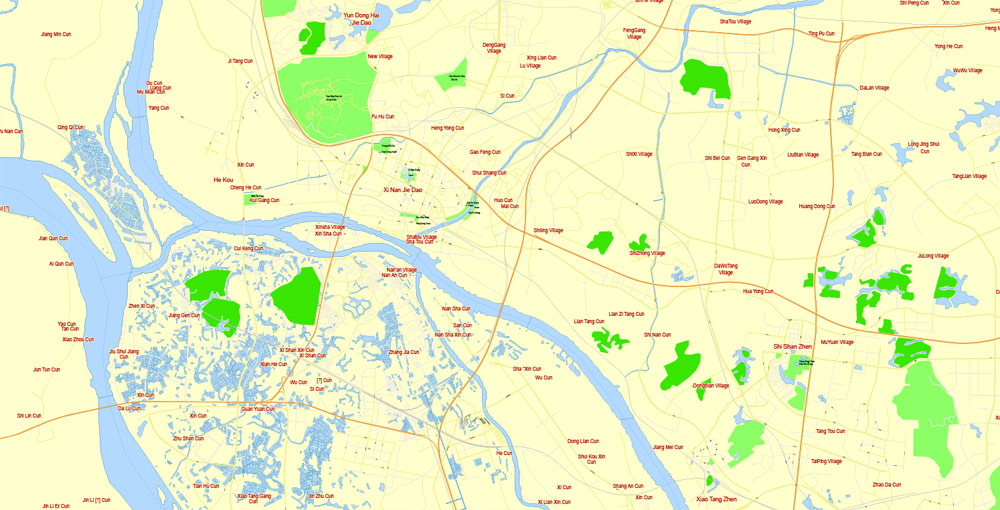
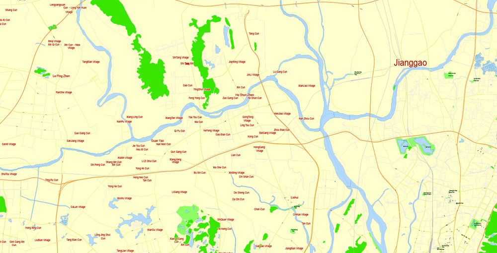
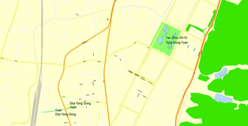
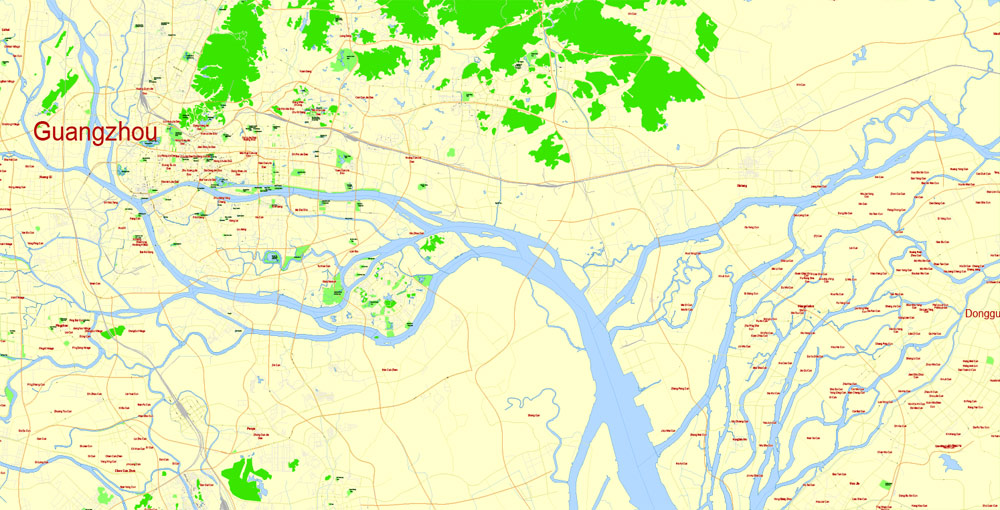
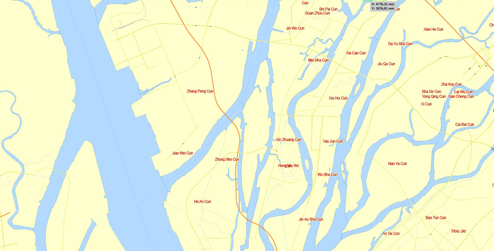
Gallery of Images “Urban plan Guangzhou China PDF ENG”:
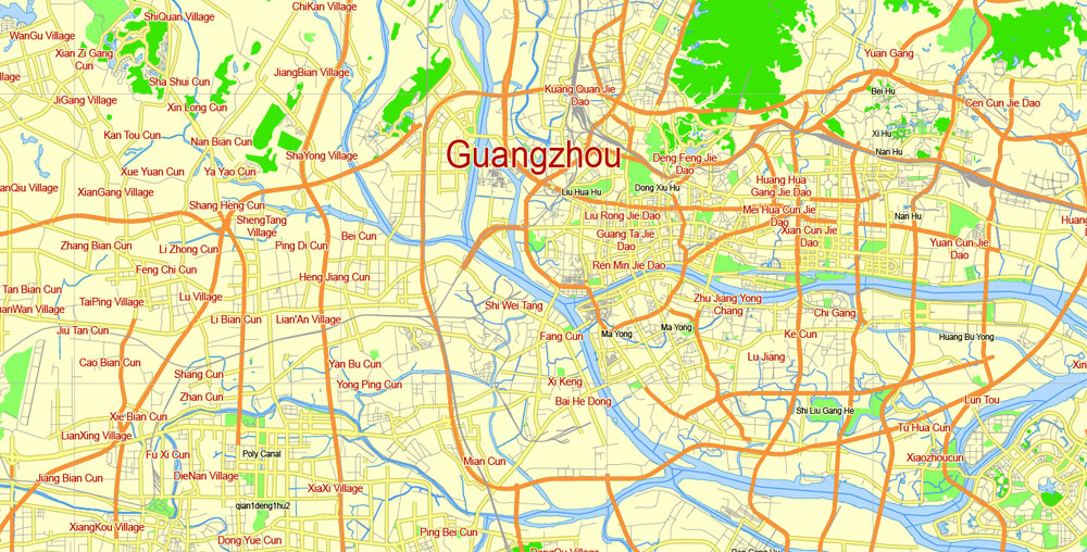
Guangzhou, China.
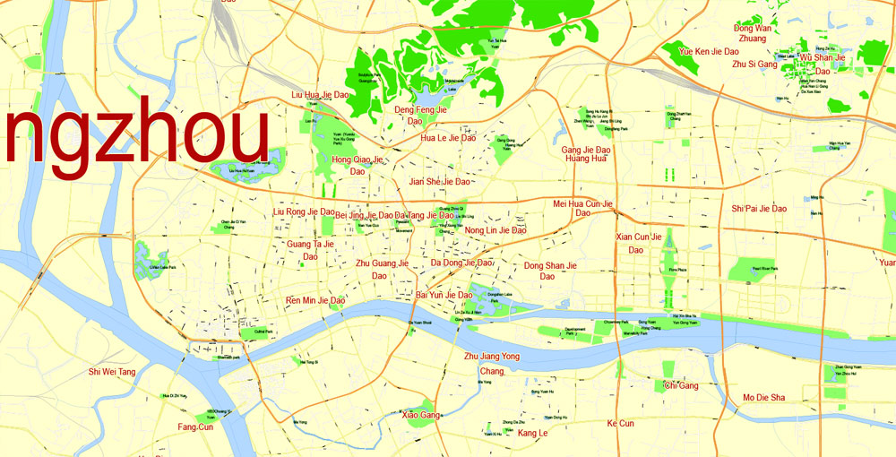
This vector map of Guangzhou is used as a basis for design, editing, and further printing.
This is the most detailed, exact map of Guangzhou for high-quality printing and polygraphy. You can always clarify the map development date by contacting us.
For your convenience, all objects on Guangzhou vector map are divided into layers. And the editing is very easy – colors, lines, etc.
You can easily add any objects needed (e.g. shops, salons, sale points, gas station or attraction) on any layer of Guangzhou vector map.
Guangzhou (广州; 廣州), also known as Canton, is the capital and most populous city of the province of Guangdong in southern China. On the Pearl River about 120 km (75 mi) north-northwest of Hong Kong and 145 km (90 mi) north of Macau, Guangzhou has a history of over 2,200 years and was a major terminus of the maritime Silk Road, and continues to serve as a major port and transportation hub, as well as one of China’s three largest cities.
One of the advantages of Guangzhou vector maps of our production is the relevance of cartographic data, we constantly update all our products.
This vector map of Guangzhou is used by:
designers, layout designers, printers, advertisers and architects. Our product – vector maps – is designed for further editing and printing in large formats – from @Wall format (a few meters) to A-0 and A-1, A-2, A-3.
Guangzhou map in vector format is used for design, urban planning, presentations and media visualizations.
Advertising and presentation map of Guangzhou (usually the final designer marks the routes, and puts the client’s objects (shops, saloons, gas stations etc.)
The undoubted advantage is that people will NEVER throw out this advertising product – the map. In fact, as an advertising medium, a map is the most “long-playing” of the well-known polygraphic advertising media, with the longest lifespan, and the maximum number of interactions with the customer.
For travelers, maps are sold at the airports and gas stations around the world. Often the source is our vector maps.
Take a look, who purchases our vector maps of Guangzhou in “Our Clients and Friends” page – these are large and small companies, from super-brands like Volvo and Starbucks, to small design studios and printing houses.
It’s very easy to work with vector maps of Guangzhou, even for a not very experienced designer who can turn on and off the map layers, add new objects, change the colors of fill and lines according to customer requirements.
The undoubted advantage of Guangzhou vector maps in printing is an excellent and detailed visualization, when customer can expand a large paper map and instantly define his location, find a landmark, an object or address on map, unlike using the popular electronic formats of Google and Yandex maps for example.
Printable vector maps of Guangzhou are much more convenient and efficient than any electronic maps on your smartphone, because ALL DETAILS are displayed in the entire space of Guangzhou map.
Useful tips on working with vector maps of cities and countries in Adobe Illustrator.
«V» – launches the Selection tool (cursor, black arrow), which makes active any vector line.
«А» – launches the Direct Selection tool (white cursor), allows you to select curve elements and drag them to the desired place.
«R» – activates the Rotate tool, which helps you rotating selected objects around the center point by 360 degrees.
«E» – gives you the opportunity to use the Eraser tool and erase unnecessary parts.
«X» – switches between Fill and Stroke in the Tools section. Try to get used to this hot key and
you will quickly understand that you can’t live and work without it.
Guides are not limited to vertical and horizontal in Adobe Illustrator. You can also create a diagonal guide for example. Moreover, you can turn any contours into guides. Select the outline and go to View > Guides > Make Guides (Create Guides), or simply press Cmd/Ctrl + 5. You can also turn the guides back into an editable object. Go to menu, View > Guides > Unlock Guides (Release Guides), select the guide you want to edit and select View > Guides > Release Guides (Reset Guides), or just press Cmd/Ctrl + Option / Alt + 5).
You will probably want to change the color scheme used on our Guangzhou vector map.
To quickly and effectively play with colors.
Of course, you can do it manually, all objects in our Guangzhou vector map are divided according to types and layers, and you can easily change the color gamma of vector objects in groups and layers.
But there is more effective way of working with the whole VECTOR MAP of Guangzhou and all layers:
The overview dialog «Edit colors»/«Repaint Graphic Object» (this dialog box name can change depending on the context):
If you have selected a part or a layer of Guangzhou vector map and open the dialog box by clicking the icon in the Control panel, on the Samples palette or the Color Catalog, or if you choose Edit > Edit Colors> Repaint Graphic Object, then the «Repaint Graphic Object» dialog box appears, and you get access to «Assign» and «Edit» tabs.
If a picture or a map fragment is not selected, and you open the dialog box by clicking the icon in the Control panel, on the Samples palette or in the Color Catalog, the «Edit Colors» dialog box appears and you can only access the «Edit» tab.
Regardless of the name at the top of the dialog box, the right-hand side always displays the color group of the current document, as well as two default color groups: Print Color and Grayscale. These color groups can be selected and used any time.
Create and edit color groups of Guangzhou vector map, and also assign colors using the «Edit Colors»/ а «Repaint Graphic Object» dialog box.
A. Creating and editing of a color group on the «Edit» tab
B. Assigning colors on the «Assign» tab
C. Select a group of colors from the «Color groups» list
The option «Repaint a graphic object» in the lower part of the dialog box allows you to preview the colors on a selected layer of Vector map, or a group of elements, and specify whether its colors will be redefined when the dialog box is closed.
The main areas of the dialog box are:
«Edit»
The «Edit» tab is designed to create a new or edit the existing color groups.
The harmony rules Menu and the Color Wheel are used to conduct experiments with color harmonies. The color wheel shows how colors are related in color harmony, and the color bars allow you to view and manipulate an individual color values. In addition, you can adjust the brightness, add and remove colors, save color groups and view colors on the selected Vector Map of Guangzhou or a separated layers.
«Assign»
The «Assign» tab is used to view and control on how the original colors are replaced with colors from the color group like your corporate colors in the Vector Map of Guangzhou.
The assign color ability is provided only if the entire map, layer or fragment is selected in the document. You can specify which of new colors replace the current colors, whether the spot colors should be preserved and how colors are replaced (for example, you can replace colors completely or changing the color tone while maintaining the brightness). The «Assign» tab allows you to redefine colors in the Vector Map of Guangzhou, or in separate layers and fragments using the current color group or reducing the number of colors in the current Vector Map.
Color groups
Is a list of all saved color groups for current document (the same groups appear in the «Samples» palette). You can edit and delete the existing color groups, as well as creating a new ones using the list of “Color Groups” in the dialog box. All changes appear in the «Samples» palette.
The highlighted color group shows, which color group is currently edited.
Any color group can be selected and edited, or used to redefine the colors in the selected vector map of Guangzhou , its fragments or elements.
Saving a color group adds this group to the specified list.
Opening the «Edit Colors»/«Repaint Graphic Object» dialog box.
Open the «Edit Colors»/«Repaint Graphic Object» dialog box using one of the following methods:
«Edit»> «Edit Colors»> «Repaint Graphic object» or «Repaint With Style».
Use these commands if you need to edit the colors in the selected vector map of Guangzhou city.
«Repaint Graphic object» button on the «Control» panel.
Use this button if you need to adjust colors of Guangzhou vector map using the а «Repaint graphic object» dialog box.
The specified button is available if the selected vector map or its fragment contains two or more colors.
Note. This color editing method is convenient for global color adjustment in a vector map, if global colors were not used when creating a Map of Guangzhou.
The «Edit colors» button or «Edit or apply colors» on the «Color Catalog» palette
Click this button if you need to edit colors on the «Color Catalog» palette or edit and then apply them to the selected Vector Map of Guangzhou or its fragment.
The «Edit color group» button or «Edit or apply color group» on the «Samples» palette.
Click this button if you need to edit the colors in the specific color group or edit and apply them to the selected Vector Map of Guangzhou or a group of its elements, for example, the whole layer “Streets and lines”. You can also double-click the color group in the Samples panel to open the dialog box.
If the map file is too large and your computer freezes or even can’t open it quickly:
1. Try to reduce the color resolution of the video card (display) to 256 colors while working with a large map.
2. Using Windows Task Manager, select all the application you don’t need, while working with map, just turn them off.
3. Launch Adobe Illustrator. (DO NOT OPEN the vector map file)
4. Start the Windows Task Manager using administrator rights > Find the “Illustrator” process > set the «real time» priority,
5. Open the file. When you see the LEGACY FONT popup window – click “OK” (do not update). You can restore the TEXT later.
6. Can also be useful: When file is opened – Edit > Settings > Basic Settings > disable smoothing. /// It looks scary, but works quickly)))
We recommend saving the file in Adobe Illustrator 10 version. It’s much more stable when working with VERY BIG size files.
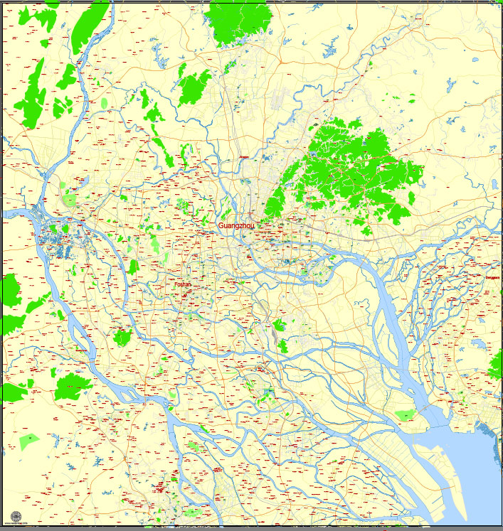
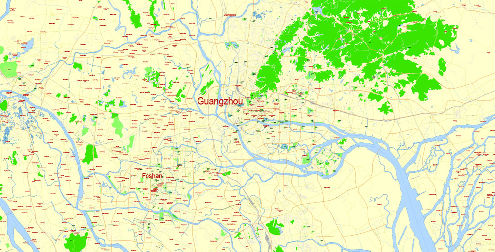
Guangzhou is at the heart of the most-populous built-up metropolitan area in mainland China that extends into the neighboring cities of Foshan, Dongguan, Zhongshan and Shenzhen, forming one of the largest urban agglomerations on the planet. Administratively, the city holds sub-provincial status and is one of China’s nine National Central Cities. In 2015, the city’s administrative area was estimated to have a population of 13,501,100. Guangzhou is ranked as an Alpha global city. There is a rapidly increasing number of foreign temporary residents and immigrants from Southeast Asia, the Middle East, Eastern Europe and Africa. This has led to it being dubbed the “Capital of the Third World”.
The domestic migrant population from other provinces of China in Guangzhou was 40% of the city’s total population in 2008. Together with Shanghai, Beijing and Shenzhen, Guangzhou has one of the most expensive real estate markets in China. In the late 1990s and early 2000s, nationals of sub-Saharan Africa who had initially settled in the Middle East and other parts of Southeast Asia moved in unprecedented numbers to Guangzhou, China in response to the 1997/8 Asian financial crisis.
Long the only Chinese port accessible to most foreign traders, Guangzhou fell to the British during the First Opium War. No longer enjoying a monopoly after the war, it lost trade to other ports such as Hong Kong and Shanghai, but continued to serve as a major entrepôt. In modern commerce, Guangzhou is best known for its annual Canton Fair, the oldest and largest trade fair in China. For the three consecutive years 2013–2015, Forbes ranked Guangzhou as the best commercial city on the Chinese mainland.
Geography
The old town of Guangzhou was near Baiyun Mountain on the east bank of the Pearl River (Zhujiang) about 80 miles (129 km) from its junction with the South China Sea and about 300 miles (483 km) below its head of navigation. It commanded the rich alluvial plain of the Pearl River Delta, with its connection to the sea protected at the Humen Strait. The present city spans 7,434.4 square kilometres (2,870.4 sq mi) on both sides of the river from 112° 57′ to 114° 03′ E longitude and 22° 26′ to 23° 56′ N latitude in south-central Guangdong. The Pearl is the 3rd-largest river of China. Baiyun Mountain is now locally referred to as the city’s “lung” (市肺).
The elevation of the prefecture generally increases from southwest to northeast, with mountains forming the backbone of the city and the ocean comprising the front. Tiantang Peak (天堂顶, “Heavenly Peak”) is the highest point of elevation at 1,210 metres (3,970 ft) above sea level.
Small guide: How to work with the vector map?
You can: Mass select objects by type and color – for example, the objects type “building” (they are usually dark gray) – and remove them from the map, if you do not need them in your print or design project. You can also easily change the thickness of lines (streets), just bulk selection the road by the line color.
The streets are separated by type, for example, type “residential road” are usually white with a gray stroke. Highway usually orange with a brown or dark gray stroke.
It is easy to change the font of inscriptions, all or each individually. Also, just can be make and any other manipulation of objects on the vector map in Adobe illustrator format.
Important: All the proportions on the map are true, that is, the relative sizes of the objects are true, because Map is based on an accurate GPS projection, and It transated into the (usual for all) the Mercator projection.
You can easily change the color, stroke and fill of any object on the map, zoom without loss of quality Image Verification.
Select object

Bulk selection the same objects on the vector map

See the bulk selected objects on the vector map

Bulk delete buildungs from the vector map

Select residencial road (small street) on the vector map

Bulk selection the same lines (streets, roads) on the full map

Create fat lines of the streets on the vector maps (bulk action) 1

Create fat lines of the streets on the vector maps (bulk action) 2

Create fat lines of the streets on the vector maps (bulk action) 3

You can easily change the color, stroke and fill of any object on the map, zoom without loss of quality Image Verification.

 Author: Kirill Shrayber, Ph.D. FRGS