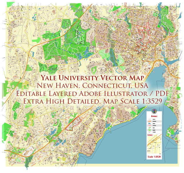
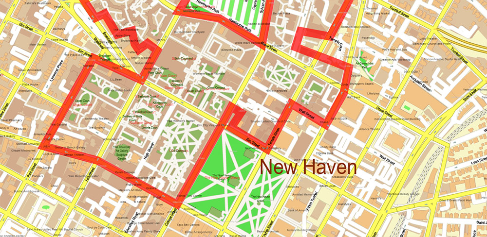
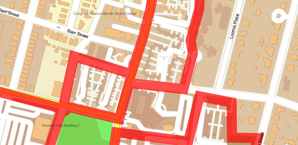
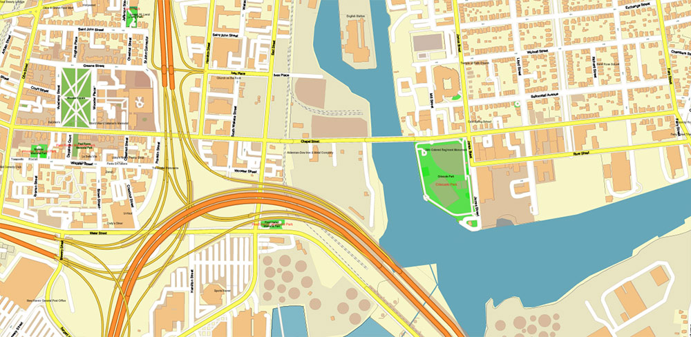
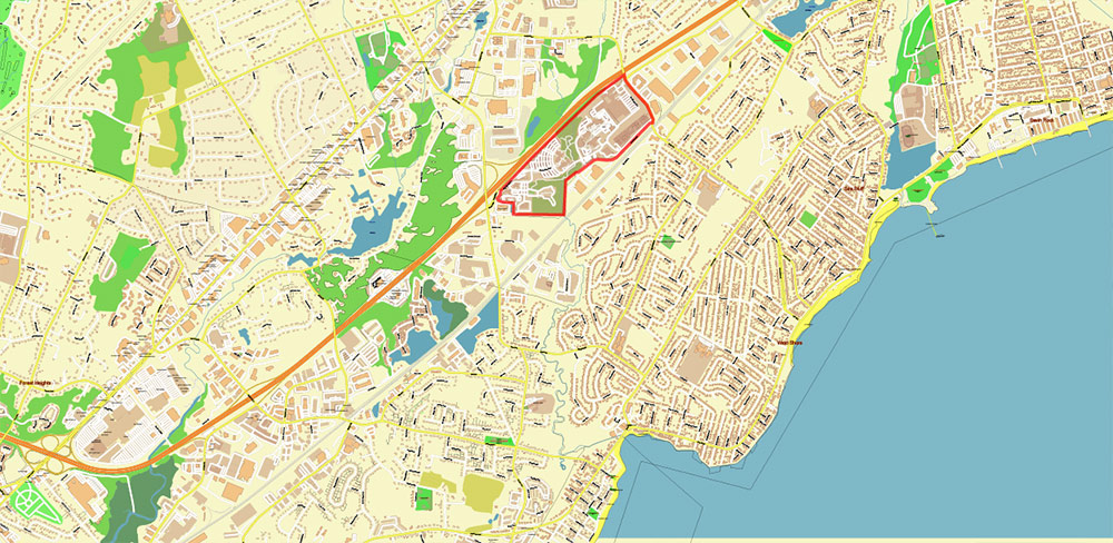
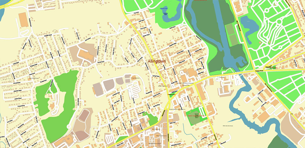
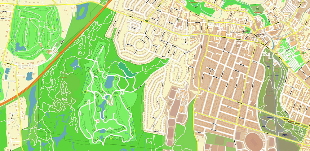
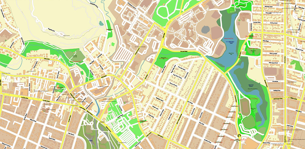
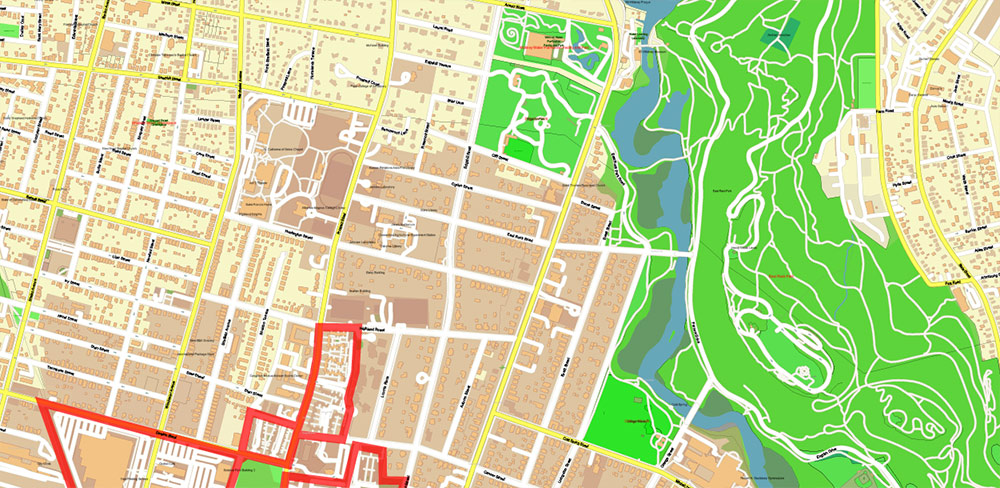
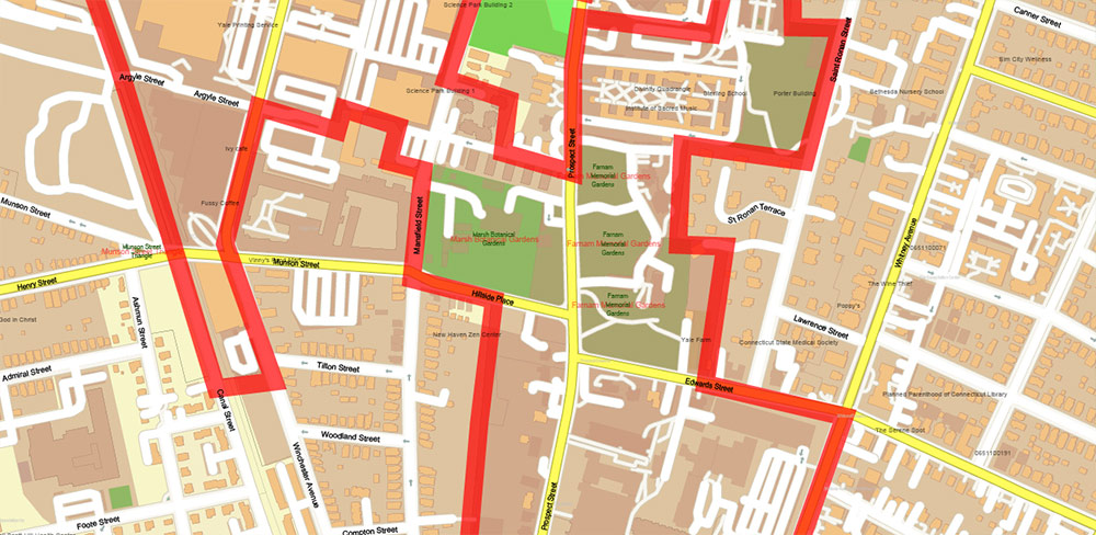
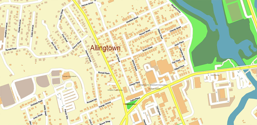
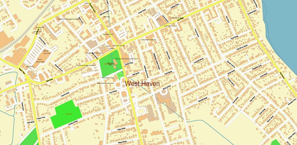
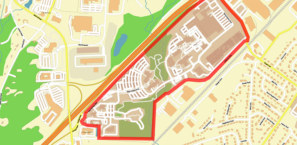
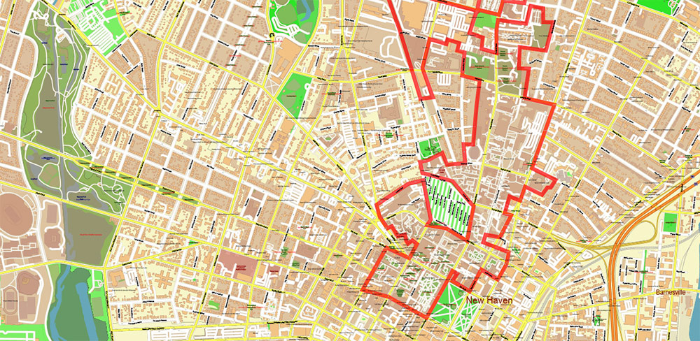
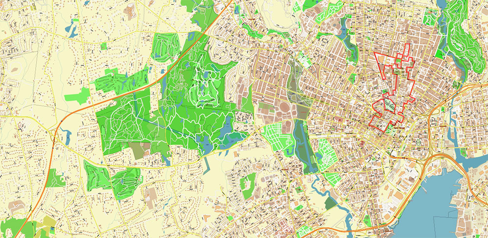
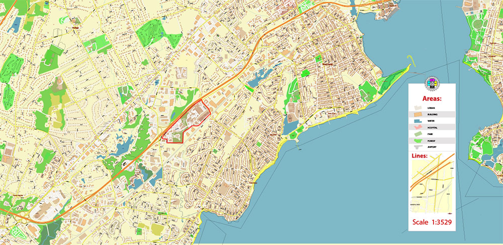
Yale University Connecticut US Map Vector Extra High Detailed Street Map editable Adobe Illustrator in layers

  1. Home
  2. North America maps
  3. United States vector maps cities, states and country: PDF and Adobe Illustrator
  4. US University Maps Adobe Illustrator, PDF
  5. Yale University Connecticut US Map Vector Extra High Detailed Street Map editable Adobe Illustrator in layers

WhatsApp us! If you have any questions, please, feel free to contact us via WhatsApp +1.829.4100078

We accept PayPal and all  Debit or Credit Cards | Instantly Download Your Map after payment.
Verified Seller 10+ years.

$ 37.00

Printable Vector Map of Yale University Connecticut US High Detailed City Plan scale 1:3708 fully editable Adobe Illustrator Street Map in layers, scalable, text/curves format all names, 13 MB ZIP
All street names, Main Objects, All Buildings.  Map for design, printing, arts, projects, presentations, for architects, designers, and builders, business, logistics.
Also: We can add  (additional layer for this map), any other objects for you. It’s free for our customers.
Also: We can add the RELIEF (Topo Isolines or shaded relief)
If you need any OTHER format – DWG, DXF, CDR, EPS, or something else – please, email us 

This Yale University Connecticut  US Street Map is wall-size map,
fully editable, layered Adobe Illustrator file that is compatible with Adobe Illustrator 10 and above.
All features on the Yale University Connecticut Street Map are completely editable
in Illustrator 10 and higher, CorelDraw, allowing you to change the border and fill colors
of every object on the map, including street lines, text objects and fill colors.
All major map objects / features reside on their own labeled layers,
allowing you to easily show/hide, edit and delete each main map object.
For a complete listing of objects/layers, refer to the list below.
Additional Info
DPI for print: 150; 300; 600; 1200
This map is also delivered as a fully-editable Adobe PDF (or any other format) map file.

Layers list:

  1. Legend
  2. Grids
  3. Labels of roads
  4. Names of places (city, hamlet, etc.)
  5. Names of objects (hospitals, parks, water)
  6. Addon names objects
  7. Names of main streets
  8. Names of residential streets
  9. Arrows of street directions
  10. Main Streets, roads
  11. Residential streets
  12. Addon lines
  13. Railroads
  14. Buildings
  15. Addon buildings
  16. University areas
  17. Waterways
  18. Water objects (rivers, lakes, ponds, marshes)
  19. Addon color fills
  20. Color fills (parks, hospital areas, land use, etc.)
  21. Background
SKU: 2023.30.01.YL.CT.US.GVL17B.AI
Share this map for your friends!

Taxonomy: Product Tags for this Vector Map

AutoCAD Map Yale University New Haven Connecticut US, City Map Yale University New Haven Connecticut US, City Plan Yale University New Haven Connecticut US, CONNECTICUT CT STATE: Vector Maps in PDF and Adobe Illustrator, CorelDraw Map Yale University New Haven Connecticut US, DWG Map Yale University New Haven Connecticut US, DXF Map Yale University New Haven Connecticut US, Editable Map Yale University New Haven Connecticut US, Illustrator Map Yale University New Haven Connecticut US, Map Yale University New Haven Connecticut US for Printing, printable map Yale University New Haven Connecticut US, Road Map Yale University New Haven Connecticut US, Street Map Yale University New Haven Connecticut US, Tourist Map Yale University New Haven Connecticut US, Urban Plan Yale University New Haven Connecticut US, Vector Map New Haven Connecticut US: PDF and Adobe Illustrator, Vector Map Yale University New Haven Connecticut US, Yale University New Haven Connecticut US City Vector Map, Yale University New Haven Connecticut US Map, Yale University New Haven Connecticut US: Editable Vector Maps PDF and Adobe Illustrator

Map Categories

North America maps, United States vector maps cities, states and country: PDF and Adobe Illustrator, US University Maps Adobe Illustrator, PDF

Extended Description of the Vector Map

Printable Vector Map of Yale University Connecticut US High Detailed City Plan scale 1:3708 fully editable Adobe Illustrator Street Map in layers, scalable, text/curves format all names, 13 MB ZIP
All street names, Main Objects, All Buildings.  Map for design, printing, arts, projects, presentations, for architects, designers, and builders, business, logistics.
Also: We can add  (additional layer for this map), any other objects for you. It’s free for our customers.
Also: We can add the RELIEF (Topo Isolines or shaded relief)
If you need any OTHER format – DWG, DXF, CDR, EPS, or something else – please, email us 

Yale University Connecticut US Map Vector Extra High Detailed Street Map editable Adobe Illustrator in layers

Yale University Connecticut US Map Vector Extra High Detailed Street Map editable Adobe Illustrator in layers

This Yale University Connecticut  US Street Map is wall-size map,
fully editable, layered Adobe Illustrator file that is compatible with Adobe Illustrator 10 and above.
All features on the Yale University Connecticut Street Map are completely editable
in Illustrator 10 and higher, CorelDraw, allowing you to change the border and fill colors
of every object on the map, including street lines, text objects and fill colors.
All major map objects / features reside on their own labeled layers,
allowing you to easily show/hide, edit and delete each main map object.
For a complete listing of objects/layers, refer to the list below.
Additional Info
DPI for print: 150; 300; 600; 1200
This map is also delivered as a fully-editable Adobe PDF (or any other format) map file.

Yale University Connecticut US Map Vector Extra High Detailed Street Map editable Adobe Illustrator in layers

Yale University Connecticut US Map Vector Extra High Detailed Street Map editable Adobe Illustrator in layers

Layers list:

  1. Legend
  2. Grids
  3. Labels of roads
  4. Names of places (city, hamlet, etc.)
  5. Names of objects (hospitals, parks, water)
  6. Addon names objects
  7. Names of main streets
  8. Names of residential streets
  9. Arrows of street directions
  10. Main Streets, roads
  11. Residential streets
  12. Addon lines
  13. Railroads
  14. Buildings
  15. Addon buildings
  16. University areas
  17. Waterways
  18. Water objects (rivers, lakes, ponds, marshes)
  19. Addon color fills
  20. Color fills (parks, hospital areas, land use, etc.)
  21. Background
Yale University Connecticut US Map Vector Extra High Detailed Street Map editable Adobe Illustrator in layers

Yale University Connecticut US Map Vector Extra High Detailed Street Map editable Adobe Illustrator in layers

Yale University Connecticut US Map Vector Extra High Detailed Street Map editable Adobe Illustrator in layers

Yale University Connecticut US Map Vector Extra High Detailed Street Map editable Adobe Illustrator in layers

Yale University Connecticut US Map Vector Extra High Detailed Street Map editable Adobe Illustrator in layers

Yale University Connecticut US Map Vector Extra High Detailed Street Map editable Adobe Illustrator in layers

Yale University Connecticut US Map Vector Extra High Detailed Street Map editable Adobe Illustrator in layers

Yale University Connecticut US Map Vector Extra High Detailed Street Map editable Adobe Illustrator in layers

Yale University Connecticut US Map Vector Extra High Detailed Street Map editable Adobe Illustrator in layers

Yale University Connecticut US Map Vector Extra High Detailed Street Map editable Adobe Illustrator in layers

Yale University Connecticut US Map Vector Extra High Detailed Street Map editable Adobe Illustrator in layers

Yale University Connecticut US Map Vector Extra High Detailed Street Map editable Adobe Illustrator in layers

Yale University Connecticut US Map Vector Extra High Detailed Street Map editable Adobe Illustrator in layers

Yale University Connecticut US Map Vector Extra High Detailed Street Map editable Adobe Illustrator in layers

Yale University Connecticut US Map Vector Extra High Detailed Street Map editable Adobe Illustrator in layers

Yale University Connecticut US Map Vector Extra High Detailed Street Map editable Adobe Illustrator in layers

Yale University Connecticut US Map Vector Extra High Detailed Street Map editable Adobe Illustrator in layers

Yale University Connecticut US Map Vector Extra High Detailed Street Map editable Adobe Illustrator in layers

Yale University Connecticut US Map Vector Extra High Detailed Street Map editable Adobe Illustrator in layers

Yale University Connecticut US Map Vector Extra High Detailed Street Map editable Adobe Illustrator in layers

Yale University Connecticut US Map Vector Extra High Detailed Street Map editable Adobe Illustrator in layers

Yale University Connecticut US Map Vector Extra High Detailed Street Map editable Adobe Illustrator in layers

Yale University Connecticut US Map Vector Extra High Detailed Street Map editable Adobe Illustrator in layers

Yale University Connecticut US Map Vector Extra High Detailed Street Map editable Adobe Illustrator in layers

Yale University Connecticut US Map Vector Extra High Detailed Street Map editable Adobe Illustrator in layers

Yale University Connecticut US Map Vector Extra High Detailed Street Map editable Adobe Illustrator in layers

Yale University Connecticut US Map Vector Extra High Detailed Street Map editable Adobe Illustrator in layers

Yale University Connecticut US Map Vector Extra High Detailed Street Map editable Adobe Illustrator in layers

Author: Kirill Shrayber, Ph.D.

I have been working with vector cartography for over 25 years, including GPS, GIS, Adobe Illustrator and other professional cartographic software.
Linkedin: https://www.linkedin.com/in/kirill-shrayber-0b839325/
Twitter: https://twitter.com/vectormapper

See more maps of this city / area / state / country

Menu