Extended Description of the Vector Map
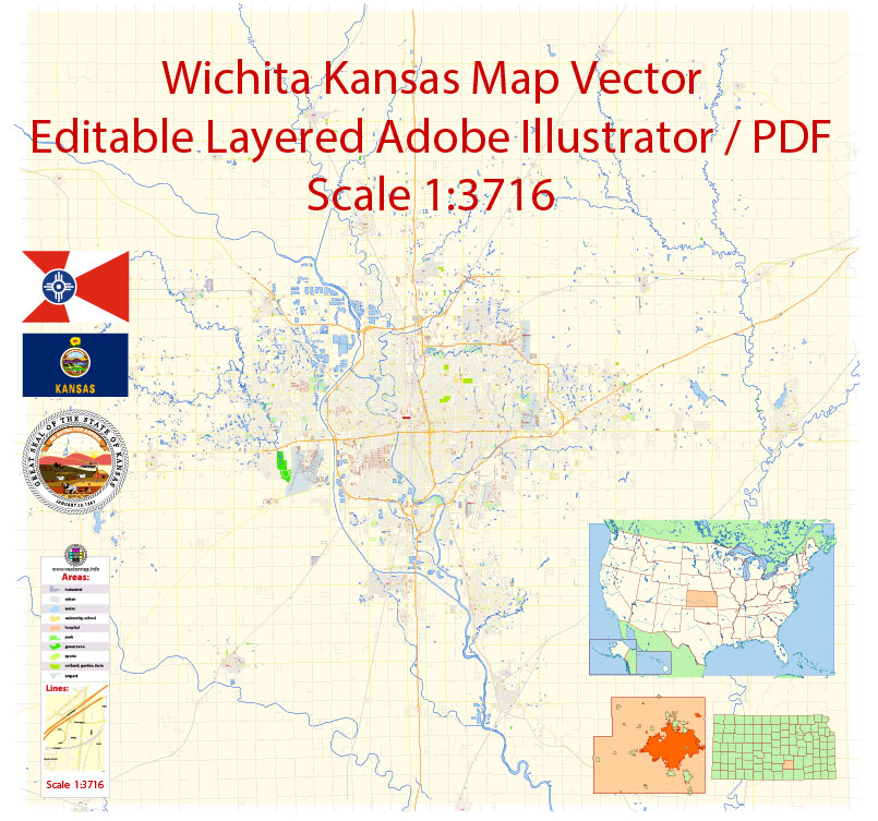
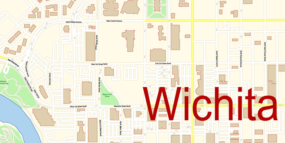
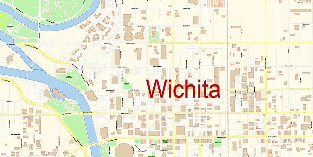
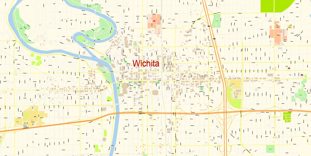
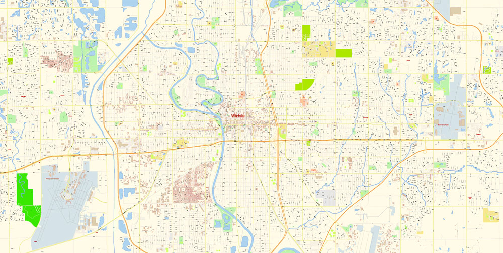
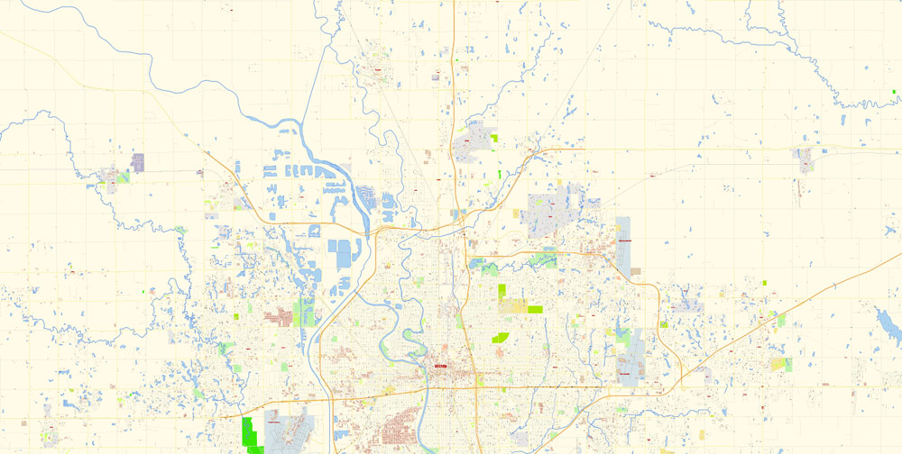
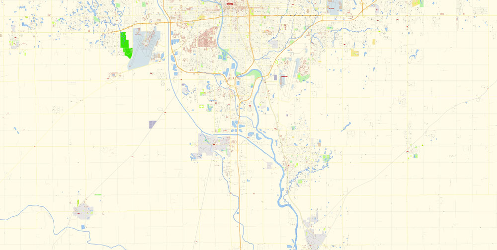
Printable Vector Map of Wichita Kansas US detailed City Plan scale 1:3716 full editable Adobe Illustrator Street Map in layers, scalable, text format all names, 13 MB ZIP
All street names, Main Objects, Buildings. Map for design, printing, arts, projects, presentations, for architects, designers, and builders, business, logistics.
Layers: color_fills, water, streets_roads, labels_roads, names_objects, names_streets, names_places, arrows_streets, buildings, grids, legend, etc.
The most exact and detailed map of the city in scale.
For Editing and High-Quality Printing
Wichita
City in Kansas
Wichita is a city in south-central Kansas. Exploration Place features hands-on science exhibits and Kansas in Miniature, a display of animated models depicting 1950s Kansas. Old Cowtown Museum recreates 19th-century life with old buildings and costumed guides. Themed gardens at Botanica Wichita include a wildflower meadow and a Chinese garden. The Museum of World Treasures has Egyptian mummies and a T. rex skeleton.
Elevation: 397 m
Population: 390,591
Zip code: 67213
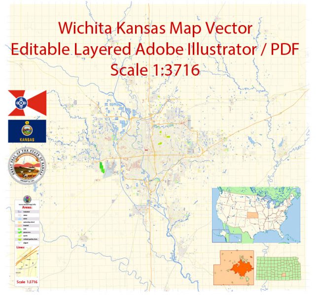
Wichita Map Vector Exact City Plan Kansas detailed Street Map editable Adobe Illustrator in layers
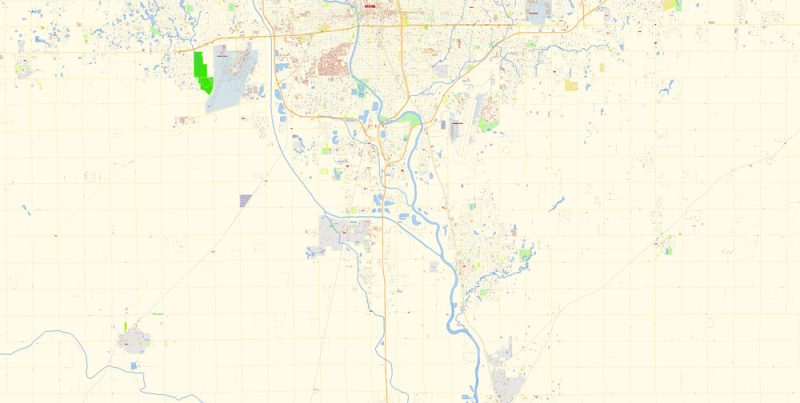
Wichita Map Vector Exact City Plan Kansas detailed Street Map editable Adobe Illustrator in layers
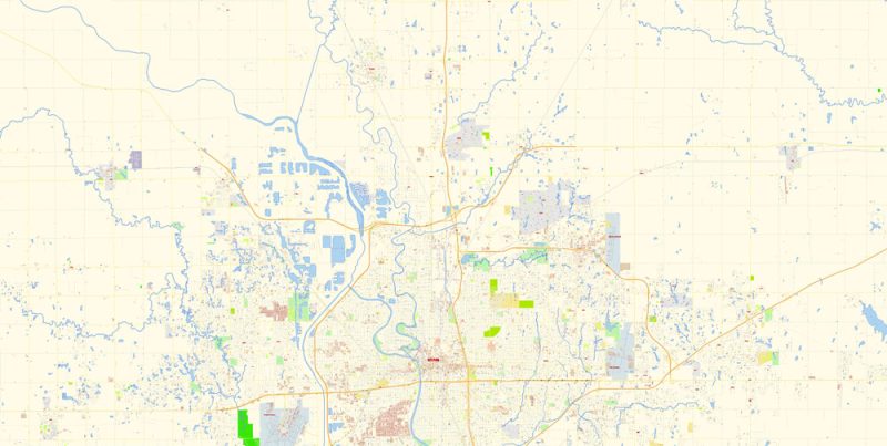
Wichita Map Vector Exact City Plan Kansas detailed Street Map editable Adobe Illustrator in layers
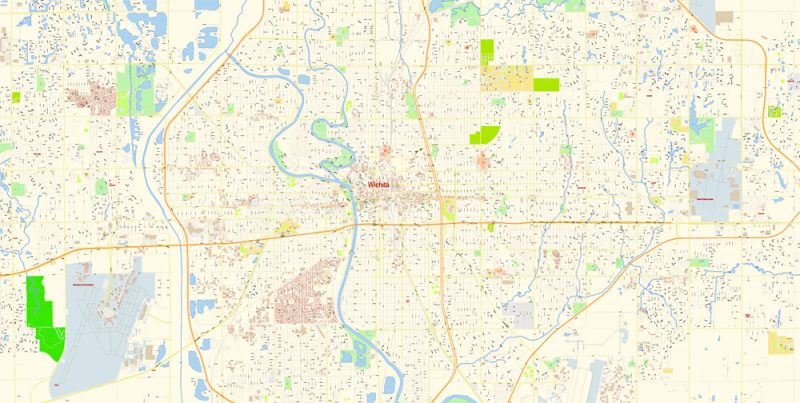
Wichita Map Vector Exact City Plan Kansas detailed Street Map editable Adobe Illustrator in layers
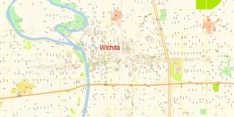
Wichita Map Vector Exact City Plan Kansas detailed Street Map editable Adobe Illustrator in layers

Wichita Map Vector Exact City Plan Kansas detailed Street Map editable Adobe Illustrator in layers
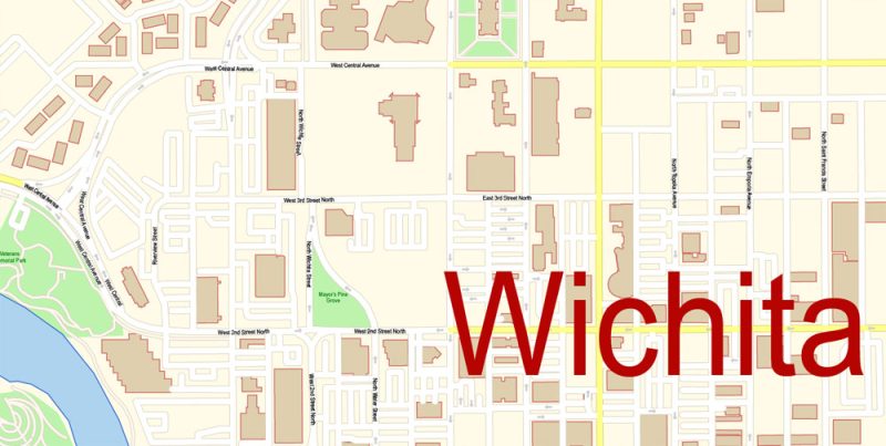
Wichita Map Vector Exact City Plan Kansas detailed Street Map editable Adobe Illustrator in layers
Author Rating
Aggregate Rating
no rating based on 0 votes
@vectormapper
Product Name Wichita Map Vector Exact City Plan Kansas detailed Street Map editable Adobe Illustrator in layers
Price
USD 39
Product Availability
Available in Stock



 Author: Kirill Shrayber, Ph.D. FRGS