Extended Description of the Vector Map
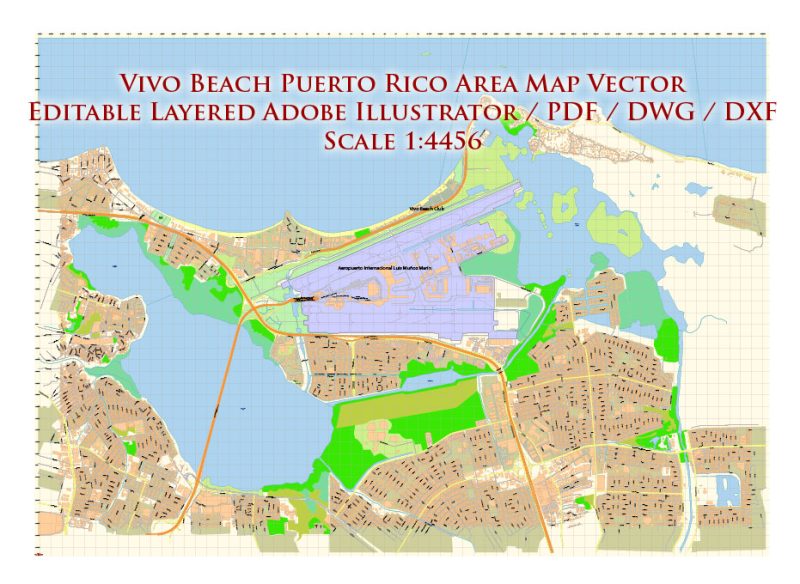
Printable Vector Map of Vivo Beach Puerto Rico area High detailed City Plan scale 1:4456 full editable AutoCAD DWG DXF PDF Street Map in layers, scalable, text format all names, 127 MB ZIP
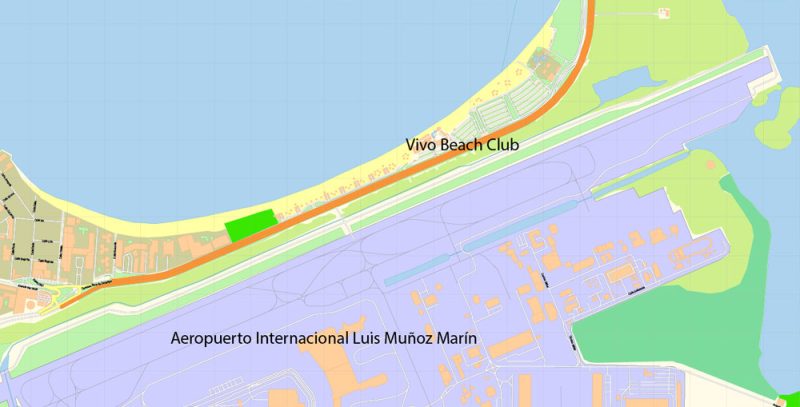
Principal street names, Main Objects, Buildings. Map for design, printing, arts, projects, presentations, for architects, designers, and builders, business, logistics.
Layers list:
- Grids
- Names of places
- Names of objects
- Names of main streets
- Names of civil streets
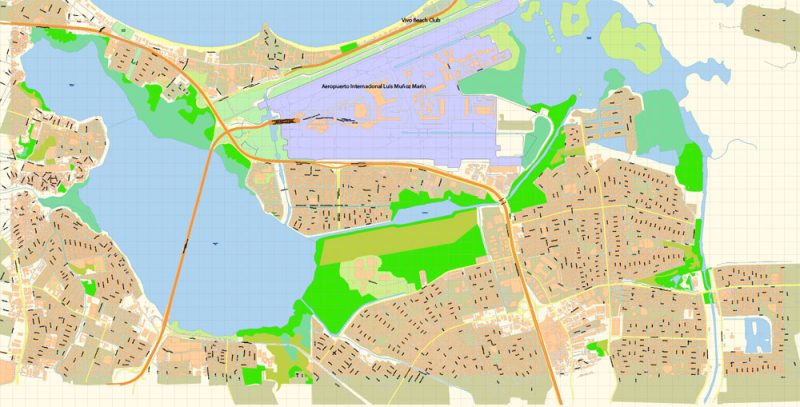
- Main Streets, roads, railroads, lines
- Civil streets
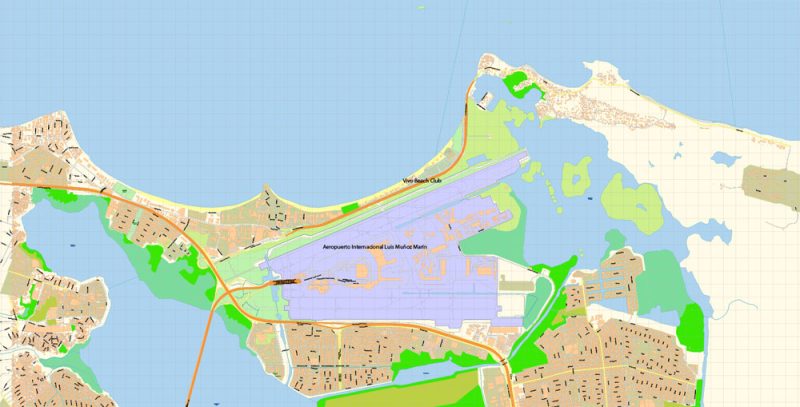
- Buildings
- Airports and heliports
- Water objects (rivers, lakes, ponds)
- Color fills (parks, hospital areas, school areas, etc.)
- Addon color fills
- Addon lines
- Back
The most exact and detailed map of the city in scale.
ALSO: If you need, we can add a layer of ZIPcodes areas with numbers (free).
For Editing and High-Quality Printing
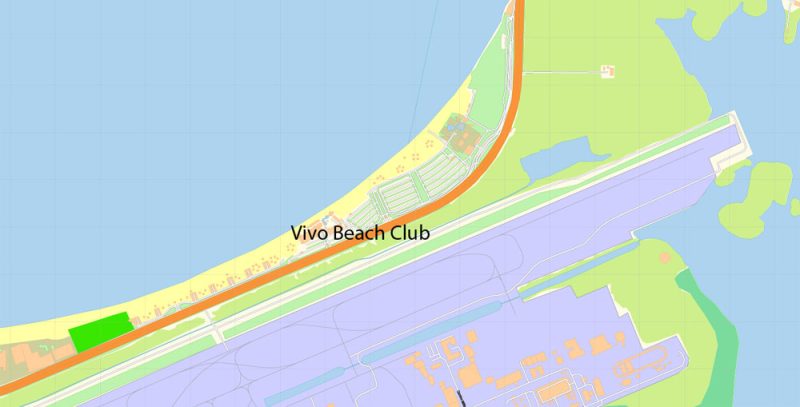
Vivo Beach Puerto Rico Map Vector DWG DXF PDF Exact City Plan High Detailed Street Map editable AutoCAD in layers
Vivo Beach Puerto Rico Map Vector DWG DXF PDF Exact City Plan High Detailed Street Map editable AutoCAD in layers
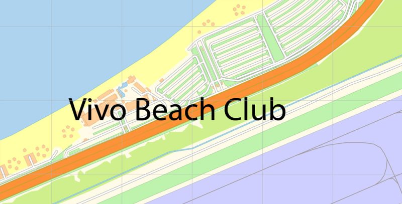
Vivo Beach Puerto Rico Map Vector DWG DXF PDF Exact City Plan High Detailed Street Map editable AutoCAD in layers
Vivo Beach Puerto Rico Map Vector DWG DXF PDF Exact City Plan High Detailed Street Map editable AutoCAD in layers
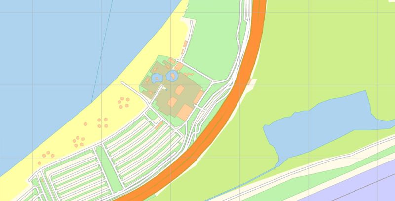
Vivo Beach Puerto Rico Map Vector DWG DXF PDF Exact City Plan High Detailed Street Map editable AutoCAD in layers
Vivo Beach Puerto Rico Map Vector DWG DXF PDF Exact City Plan High Detailed Street Map editable AutoCAD in layers
Vivo Beach Puerto Rico Map Vector DWG DXF PDF Exact City Plan High Detailed Street Map editable AutoCAD in layers
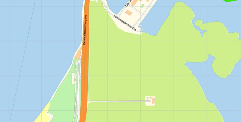
Vivo Beach Puerto Rico Map Vector DWG DXF PDF Exact City Plan High Detailed Street Map editable AutoCAD in layers


 Author: Kirill Shrayber, Ph.D. FRGS
 editable Adobe PDF + CDR CorelDraw in layers")
 editable Adobe Illustrator in layers")
 editable Adobe PDF + CDR CorelDraw in layers")

