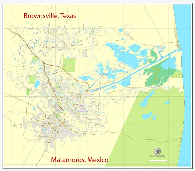
Brownsville, Texas, US,+ Matamoros, Mexico, printable vector street City Plan map, full editable, Adobe Illustrator, full vector, scalable, editable, text format street names, 3,4 mb ZIP
All streets, some buildings. Map for design, print, arts, projects, presentations,
for architects, designers and builders.
Different font colors of the street names (black); object names by type (brown, red).
DXF, DWG, CDR and other formats – on request, same price, please, contact
Brownsville, Texas, USA.
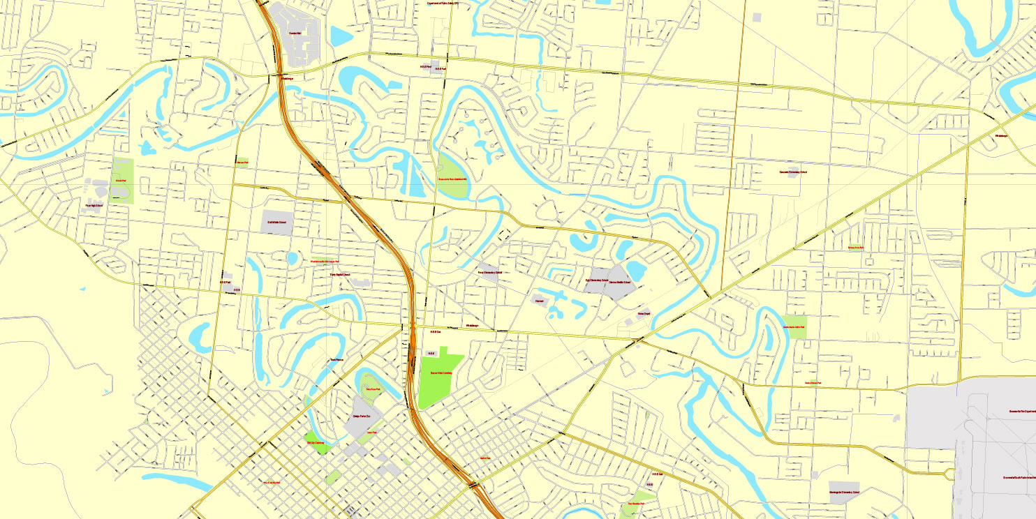
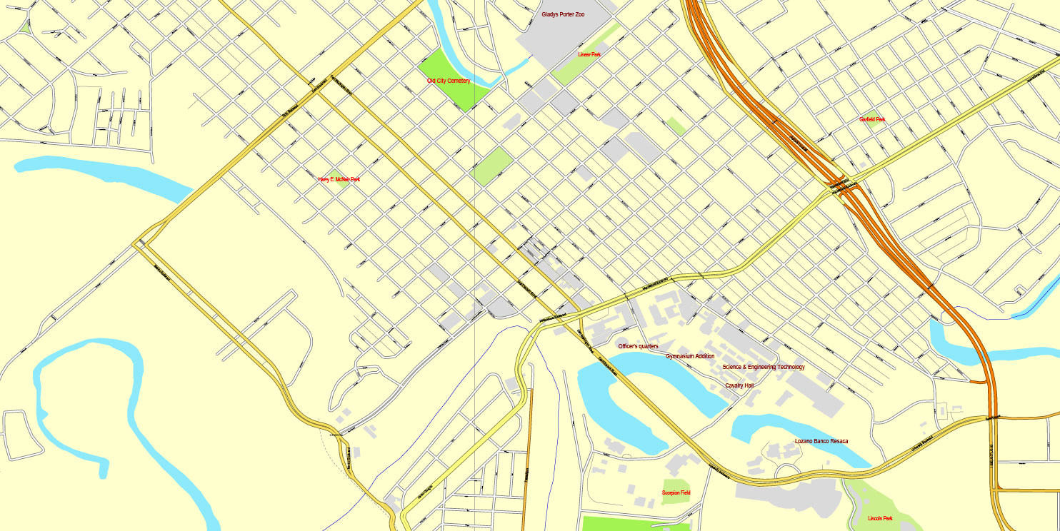
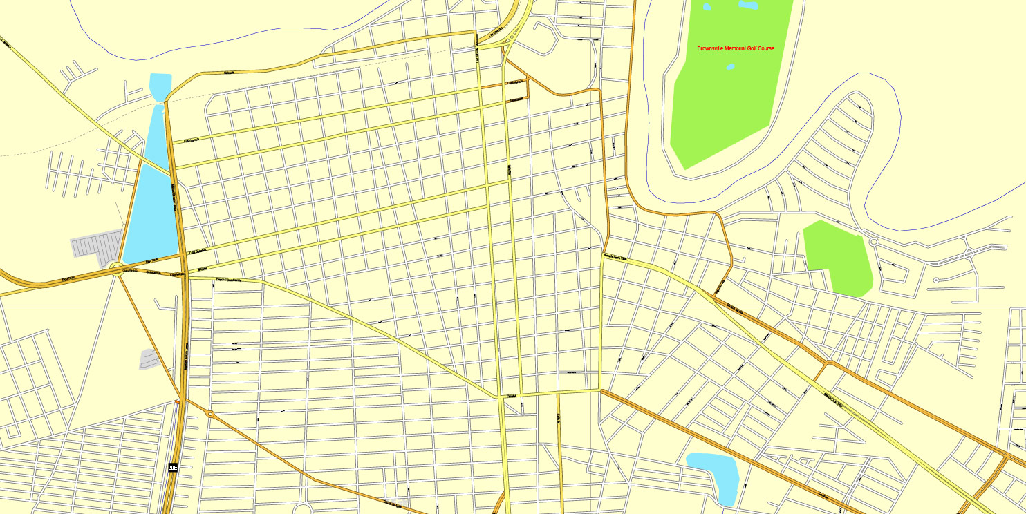
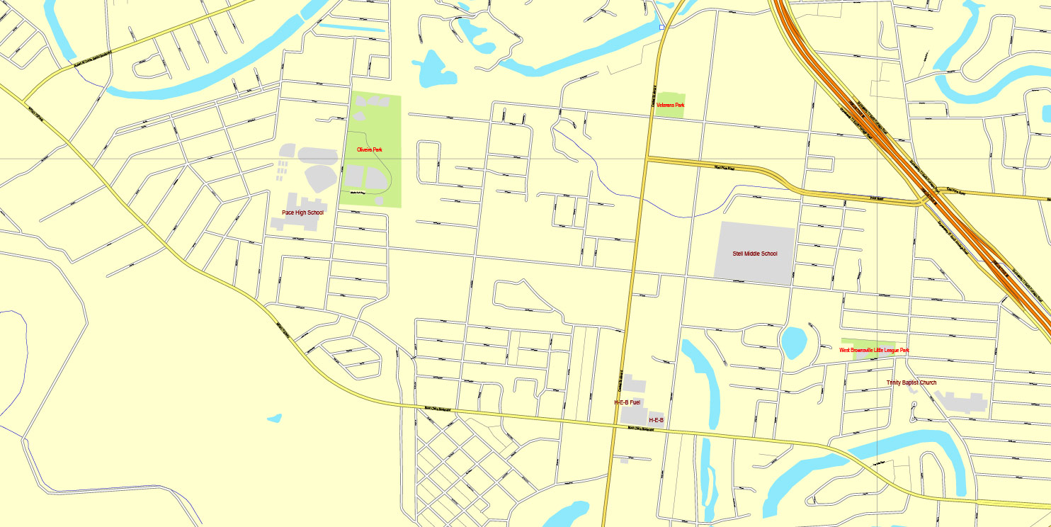
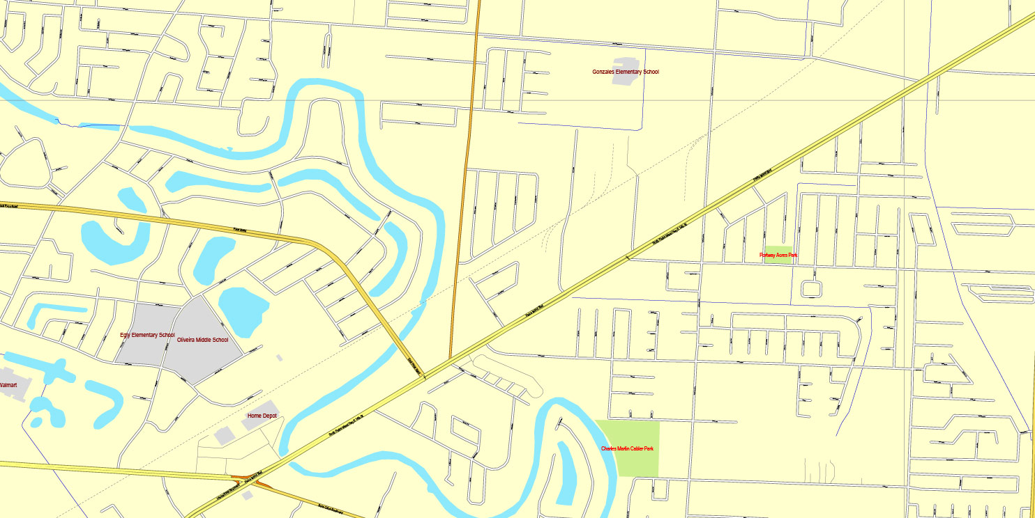
This vector map of Brownsville is used as a basis for design, editing, and further printing.
This is the most detailed, exact map of Brownsville for high-quality printing and polygraphy. You can always clarify the map development date by contacting us.
For your convenience, all objects on Brownsville vector map are divided into layers. And the editing is very easy – colors, lines, etc.
You can easily add any objects needed (e.g. shops, salons, sale points, gas station or attraction) on any layer of Brownsville vector map.
Brownsville is the county seat of Cameron County, Texas, United States. It is the sixteenth-most populous city in the state of Texas, with a population at the 2010 census of 175,023 and an estimated population of 189,592 as of 2018. Brownsville is located at the southernmost tip of Texas, on the northern bank of the Rio Grande, directly north and across the border from Matamoros, Tamaulipas, Mexico.
One of the advantages of Brownsville vector maps of our production is the relevance of cartographic data, we constantly update all our products.
This vector map of Brownsville is used by:
designers, layout designers, printers, advertisers and architects. Our product – vector maps – is designed for further editing and printing in large formats – from @Wall format (a few meters) to A-0 and A-1, A-2, A-3.
Brownsville map in vector format is used for design, urban planning, presentations and media visualizations.
Advertising and presentation map of Brownsville (usually the final designer marks the routes, and puts the client’s objects (shops, saloons, gas stations etc.)
The undoubted advantage is that people will NEVER throw out this advertising product – the map. In fact, as an advertising medium, a map is the most “long-playing” of the well-known polygraphic advertising media, with the longest lifespan, and the maximum number of interactions with the customer.
The 2014 U.S. Census Bureau estimate placed the Brownsville–Harlingen metropolitan area population at 420,392, making it the ninth most populous metropolitan area in the state of Texas. In addition, the international Matamoros–Brownsville Metropolitan Area was estimated to have a population of 1,136,995.
For travelers, maps are sold at the airports and gas stations around the world. Often the source is our vector maps.
Take a look, who purchases our vector maps of Brownsville in “Our Clients and Friends” page – these are large and small companies, from super-brands like Volvo and Starbucks, to small design studios and printing houses.
It’s very easy to work with vector maps of Brownsville, even for a not very experienced designer who can turn on and off the map layers, add new objects, change the colors of fill and lines according to customer requirements.
The undoubted advantage of Brownsville vector maps in printing is an excellent and detailed visualization, when customer can expand a large paper map and instantly define his location, find a landmark, an object or address on map, unlike using the popular electronic formats of Google and Yandex maps for example.
Printable vector maps of Brownsville are much more convenient and efficient than any electronic maps on your smartphone, because ALL DETAILS are displayed in the entire space of Brownsville map.
Useful tips on working with vector maps of cities and countries in Adobe Illustrator.
«V» – launches the Selection tool (cursor, black arrow), which makes active any vector line.
«А» – launches the Direct Selection tool (white cursor), allows you to select curve elements and drag them to the desired place.
«R» – activates the Rotate tool, which helps you rotating selected objects around the center point by 360 degrees.
«E» – gives you the opportunity to use the Eraser tool and erase unnecessary parts.
«X» – switches between Fill and Stroke in the Tools section. Try to get used to this hot key and
you will quickly understand that you can’t live and work without it.
Guides are not limited to vertical and horizontal in Adobe Illustrator. You can also create a diagonal guide for example. Moreover, you can turn any contours into guides. Select the outline and go to View > Guides > Make Guides (Create Guides), or simply press Cmd/Ctrl + 5. You can also turn the guides back into an editable object. Go to menu, View > Guides > Unlock Guides (Release Guides), select the guide you want to edit and select View > Guides > Release Guides (Reset Guides), or just press Cmd/Ctrl + Option / Alt + 5).
You will probably want to change the color scheme used on our Brownsville vector map.
To quickly and effectively play with colors.
Of course, you can do it manually, all objects in our Brownsville vector map are divided according to types and layers, and you can easily change the color gamma of vector objects in groups and layers.
But there is more effective way of working with the whole VECTOR MAP of Brownsville and all layers:
The overview dialog «Edit colors»/«Repaint Graphic Object» (this dialog box name can change depending on the context):
If you have selected a part or a layer of Brownsville vector map and open the dialog box by clicking the icon in the Control panel, on the Samples palette or the Color Catalog, or if you choose Edit > Edit Colors> Repaint Graphic Object, then the «Repaint Graphic Object» dialog box appears, and you get access to «Assign» and «Edit» tabs.
If a picture or a map fragment is not selected, and you open the dialog box by clicking the icon in the Control panel, on the Samples palette or in the Color Catalog, the «Edit Colors» dialog box appears and you can only access the «Edit» tab.
Regardless of the name at the top of the dialog box, the right-hand side always displays the color group of the current document, as well as two default color groups: Print Color and Grayscale. These color groups can be selected and used any time.
Create and edit color groups of Brownsville vector map, and also assign colors using the «Edit Colors»/ а «Repaint Graphic Object» dialog box.
A. Creating and editing of a color group on the «Edit» tab
B. Assigning colors on the «Assign» tab
C. Select a group of colors from the «Color groups» list
The option «Repaint a graphic object» in the lower part of the dialog box allows you to preview the colors on a selected layer of Vector map, or a group of elements, and specify whether its colors will be redefined when the dialog box is closed.
The main areas of the dialog box are:
«Edit»
The «Edit» tab is designed to create a new or edit the existing color groups.
The harmony rules Menu and the Color Wheel are used to conduct experiments with color harmonies. The color wheel shows how colors are related in color harmony, and the color bars allow you to view and manipulate an individual color values. In addition, you can adjust the brightness, add and remove colors, save color groups and view colors on the selected Vector Map of Brownsville or a separated layers.
«Assign»
The «Assign» tab is used to view and control on how the original colors are replaced with colors from the color group like your corporate colors in the Vector Map of Brownsville.
The assign color ability is provided only if the entire map, layer or fragment is selected in the document. You can specify which of new colors replace the current colors, whether the spot colors should be preserved and how colors are replaced (for example, you can replace colors completely or changing the color tone while maintaining the brightness). The «Assign» tab allows you to redefine colors in the Vector Map of Brownsville, or in separate layers and fragments using the current color group or reducing the number of colors in the current Vector Map.
Color groups
Is a list of all saved color groups for current document (the same groups appear in the «Samples» palette). You can edit and delete the existing color groups, as well as creating a new ones using the list of “Color Groups” in the dialog box. All changes appear in the «Samples» palette.
The highlighted color group shows, which color group is currently edited.
Any color group can be selected and edited, or used to redefine the colors in the selected vector map of Brownsville , its fragments or elements.
Saving a color group adds this group to the specified list.
Opening the «Edit Colors»/«Repaint Graphic Object» dialog box.
Open the «Edit Colors»/«Repaint Graphic Object» dialog box using one of the following methods:
«Edit»> «Edit Colors»> «Repaint Graphic object» or «Repaint With Style».
Use these commands if you need to edit the colors in the selected vector map of Brownsville city.
«Repaint Graphic object» button on the «Control» panel.
Use this button if you need to adjust colors of Brownsville vector map using the а «Repaint graphic object» dialog box.
The specified button is available if the selected vector map or its fragment contains two or more colors.
Note. This color editing method is convenient for global color adjustment in a vector map, if global colors were not used when creating a Map of Brownsville.
The «Edit colors» button or «Edit or apply colors» on the «Color Catalog» palette
Click this button if you need to edit colors on the «Color Catalog» palette or edit and then apply them to the selected Vector Map of Brownsville or its fragment.
The «Edit color group» button or «Edit or apply color group» on the «Samples» palette.
Click this button if you need to edit the colors in the specific color group or edit and apply them to the selected Vector Map of Brownsville or a group of its elements, for example, the whole layer “Streets and lines”. You can also double-click the color group in the Samples panel to open the dialog box.
If the map file is too large and your computer freezes or even can’t open it quickly:
1. Try to reduce the color resolution of the video card (display) to 256 colors while working with a large map.
2. Using Windows Task Manager, select all the application you don’t need, while working with map, just turn them off.
3. Launch Adobe Illustrator. (DO NOT OPEN the vector map file)
4. Start the Windows Task Manager using administrator rights > Find the “Illustrator” process > set the «real time» priority,
5. Open the file. When you see the LEGACY FONT popup window – click “OK” (do not update). You can restore the TEXT later.
6. Can also be useful: When file is opened – Edit > Settings > Basic Settings > disable smoothing. /// It looks scary, but works quickly)))
We recommend saving the file in Adobe Illustrator 10 version. It’s much more stable when working with VERY BIG size files.
Brownsville has one of the highest poverty rates in the nation, and is frequently cited as having the highest percentage of residents in the nation below the federal poverty level. However, the urban area is also one of the fastest growing in the United States. The city’s population dramatically increased after a boom in the steel industry during the first decade of the 1900s, when steel output tripled. In the early 21st century, the Port of Brownsville has become a major economic hub for South Texas, where shipments arrive from other parts of the United States, from Mexico, and from around the world.
Brownsville’s economy is based mainly on its international trade with Mexico through the North American Free Trade Agreement (NAFTA). It is home to one of the fastest growing manufacturing sectors in the nation. Brownsville has been recognized as having one of the best pro-business climates in the United States, and the city has been ranked among the least expensive places to live in the U.S.
Brownsville served as a site for several battles and events in the Texas Revolution, the Mexican–American War, and the American Civil War. Just across the U.S–Mexico border lies Matamoros, Tamaulipas, a city with a population of 500,000 people. It was a major site of the Mexican War of Independence, the Mexican Revolution, and the French Intervention. It also is a major manufacturing center.
Geography
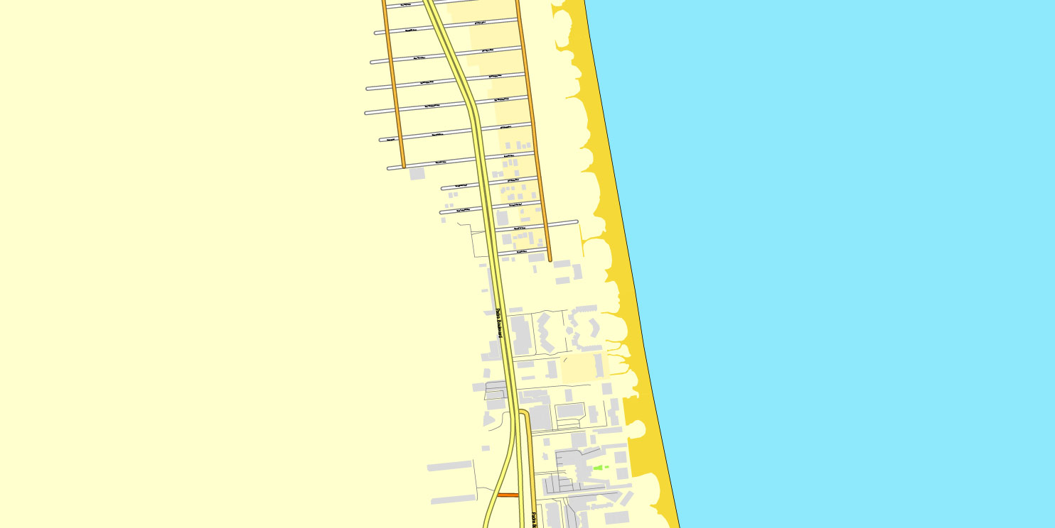
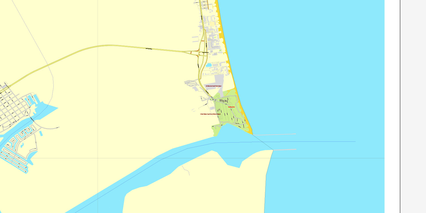
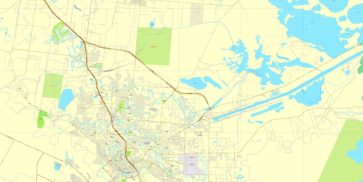
Brownsville is located on the U.S.–Mexico border (marked here by the Rio Grande) opposite Matamoros, Tamaulipas. According to the U.S. Census Bureau, the city has a total area of 146.3 square miles (378.9 km2), making it the largest American city by land area in the lower Rio Grande Valley. It is the third-largest American city by land area along the U.S.-Mexico border, after San Diego, California and El Paso, Texas. A total of 132.3 square miles (342.7 km2) of Brownsville’s area is land, and 13.9 square miles (36.1 km2) is water.
Brownsville is among the southernmost of all contiguous U.S. cities. Within the contiguous United States, only a handful of municipalities in Florida’s Miami-Dade and Monroe counties (plus Everglades City in Collier County) are located further south than Brownsville. It lies at the same latitude as North Miami Beach in northern Miami-Dade County.
In its efforts to become a cleaner, greener city, Brownsville became one of the first cities in the U.S. and Texas to require stores to charge a fee for single-use plastic shopping bags. In the first five years of the program, approximately $3.8 million was collected. Funds have been used for city beautification and maintenance projects. These results have led other cities in the area to also consider such a fee. Forbes has identified Brownsville as one of 12 metropolitan areas in the U.S. with the cleanest air; Laredo was the only other Texas metropolitan area to be among the 12.
Matamoros is a city in the northeastern Mexican state of Tamaulipas. It is located on the southern bank of the Rio Grande, directly across the border from Brownsville, Texas, in the United States. Matamoros is the second largest city in the state of Tamaulipas. As of 2016, Matamoros had a population of 520,367. In addition, the Matamoros–Brownsville Metropolitan Area has a population of 1,387,985, making it the 4th largest metropolitan area on the Mexico–US border. Matamoros is the 39th largest city in Mexico and anchors the second largest metropolitan area in Tamaulipas.
Matamoros is one of the fastest growing cities in Mexico, and has one of the fastest growing economies in the country. The economy of the city is based on its international trade with the United States through the NAFTA agreement, and it is home to one of the most promising industrial sectors in Mexico, mainly due to the presence of maquiladoras. In Matamoros, the automotive industry hosts the assembly and accessories plants for brands such as General Motors, Ford, Chrysler, BMW, and Mercedes Benz. Likewise, Matamoros’ economy has historically been based on agriculture, since northern Mexico’s biggest irrigation zones are in the municipality. PEMEX announced a multi-billion offshore drilling project for the port of Matamoros, one of the future prospects for Mexico’s oil industry.
Matamoros is a major historical site, the site of several battles and events of the Mexican War of Independence, the Mexican Revolution, the Texas Revolution, the Mexican–American War, the American Civil War, and the French Intervention that allowed the city to earn its title of Undefeated, Loyal, and Heroic. The Mexican National Anthem was played for the first time in public at The Opera Theatre in Matamoros.
Matamoros has a semi-arid climate, with mild winters, and hot, humid summers. Matamoros and Brownsville, Texas are home to the Charro Days and Sombrero Festival, two-nation fiestas that commemorate the heritage of the U.S. and Mexico which are celebrated every February.
Brownsville is the county seat of Cameron County, Texas. It is the sixteenth most populous city in the state of Texas, with a population at the 2010 census of 175,023 and an estimated population in 2014 of 183,046. It is located at the southernmost tip of Texas, on the northern bank of the Rio Grande, directly north and across the border from Matamoros, Tamaulipas, Mexico.
The 2014 U.S. Census Bureau estimate placed the Brownsville-Harlingen metropolitan area population at 420,392, making it the ninth most populous metropolitan area in the state of Texas. In addition, the international Matamoros–Brownsville Metropolitan Area was estimated to have a population of 1,136,995. Brownsville has one of the highest poverty rates in the nation, and is frequently cited as having the highest percentage of residents below the federal poverty level out of all cities in the nation.
The Brownsville urban area is one of the fastest growing in the United States. The city’s population dramatically increased after it experienced a boom in the steel industry during the first decade of the 1900s, when steel output tripled. In recent times, the Port of Brownsville has become a major economic hub for South Texas, where shipments arrive from other parts of the United States, from Mexico, and from around the world. Brownsville’s economy is mainly based on its international trade with Mexico through the North American Free Trade Agreement (NAFTA), and is home to one of the fastest growing manufacturing sectors in the nation. Brownsville has often been recognized as having one of the best pro-business climates in the United States, and the city has also been ranked among the least expensive places to live in the U.S.
Brownsville served as a site for several battles and events in the Texas Revolution, the Mexican–American War, and the American Civil War. Right across the U.S–Mexico border lies Matamoros, Tamaulipas, a city with a population of 500,000 people and a major site of the Mexican War of Independence, the Mexican Revolution, and the French Intervention.
Small guide: How to work with the vector map?
You can: Mass select objects by type and color – for example, the objects type “building” (they are usually dark gray) – and remove them from the map, if you do not need them in your print or design project. You can also easily change the thickness of lines (streets), just bulk selection the road by the line color.
The streets are separated by type, for example, type “residential road” are usually white with a gray stroke. Highway usually orange with a brown or dark gray stroke.
It is easy to change the font of inscriptions, all or each individually. Also, just can be make and any other manipulation of objects on the vector map in Adobe illustrator format.
Important: All the proportions on the map are true, that is, the relative sizes of the objects are true, because Map is based on an accurate GPS projection, and It transated into the (usual for all) the Mercator projection.
You can easily change the color, stroke and fill of any object on the map, zoom without loss of quality Image Verification.
Select object

Bulk selection the same objects on the vector map

See the bulk selected objects on the vector map

Bulk delete buildungs from the vector map

Select residencial road (small street) on the vector map

Bulk selection the same lines (streets, roads) on the full map

Create fat lines of the streets on the vector maps (bulk action) 1

Create fat lines of the streets on the vector maps (bulk action) 2

Create fat lines of the streets on the vector maps (bulk action) 3

You can easily change the color, stroke and fill of any object on the map, zoom without loss of quality Image Verification.

 Author: Kirill Shrayber, Ph.D. FRGS

