Extended Description of the Vector Map
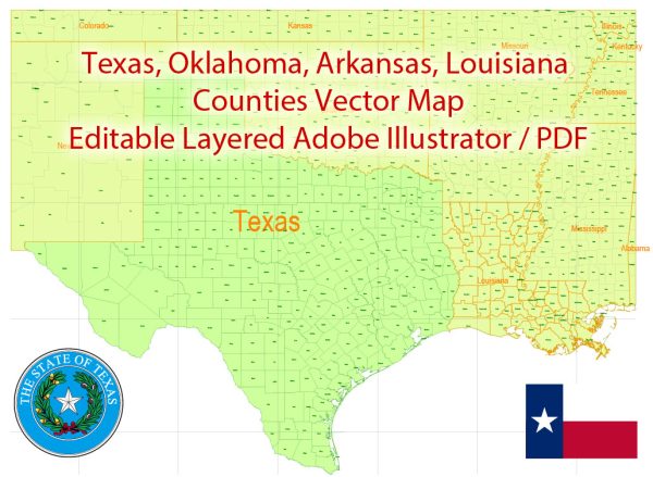
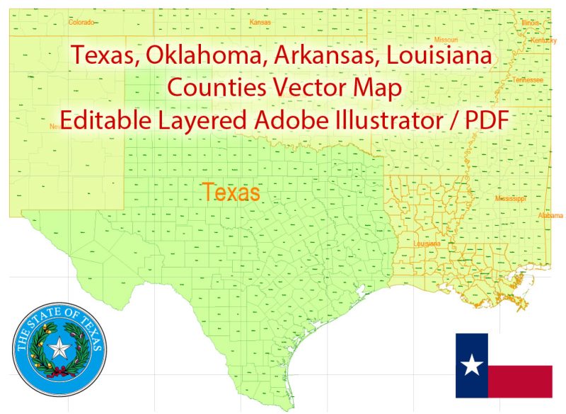
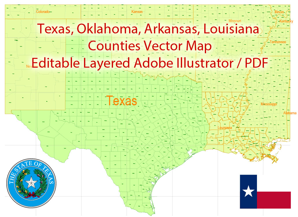
Printable Vector Map of Texas + Louisiana Counties US detailed State Plan full editable Adobe Illustrator Admin Map in layers, scalable, text format all names, 3 MB ZIP
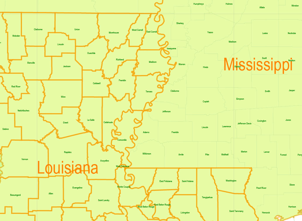
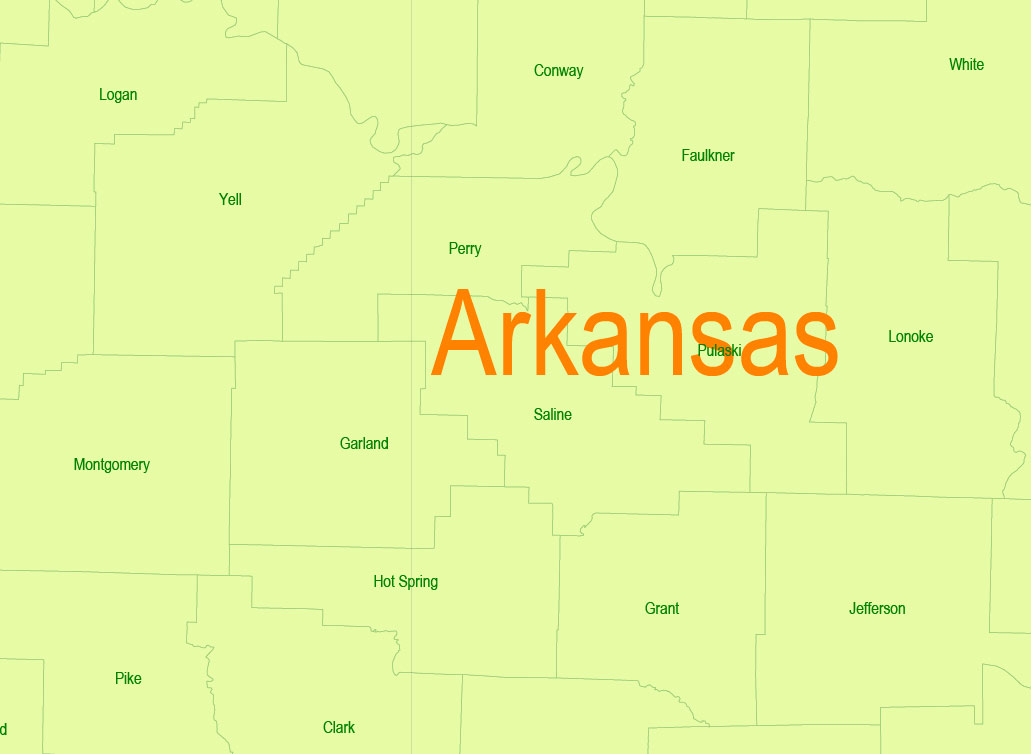
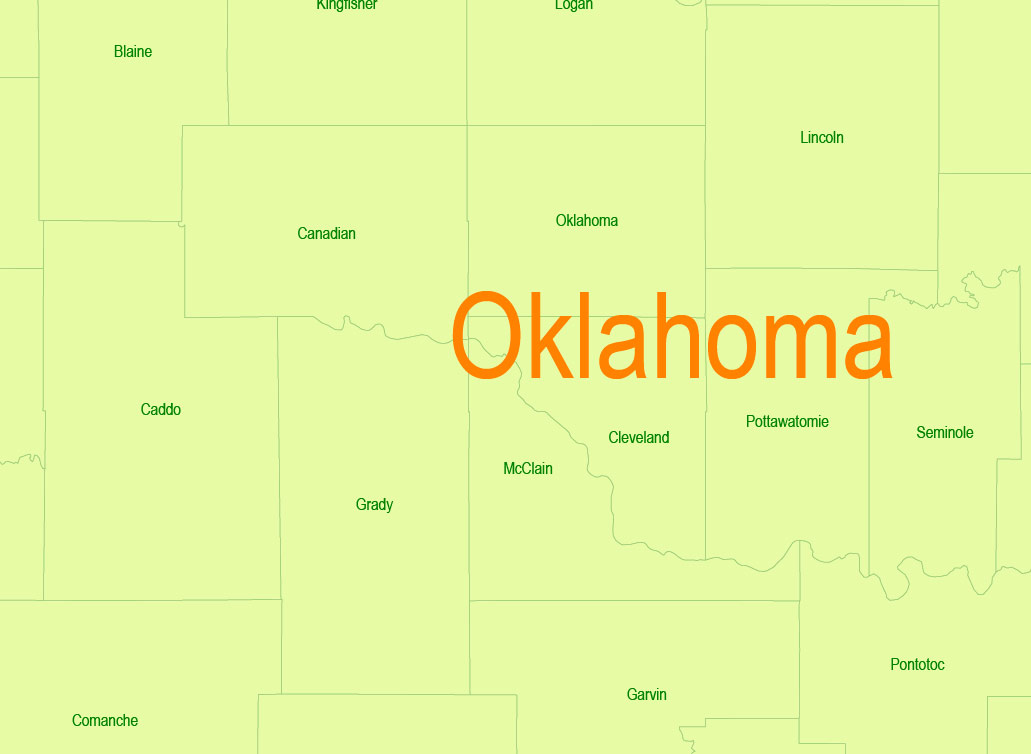
INCLUDED: Texas, Louisiana, Oklahoma, Arkansas, and parts of the nearest states.
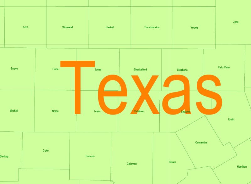
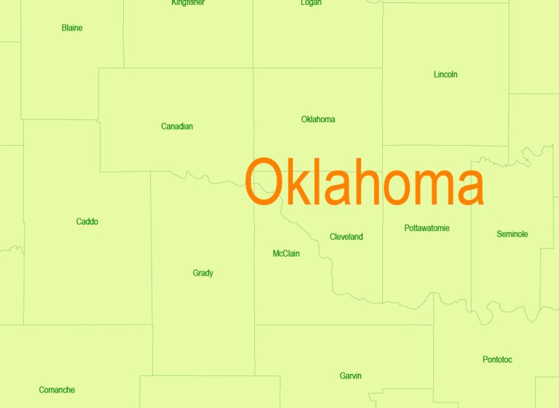
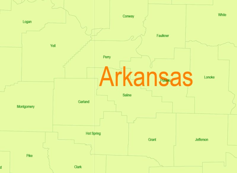
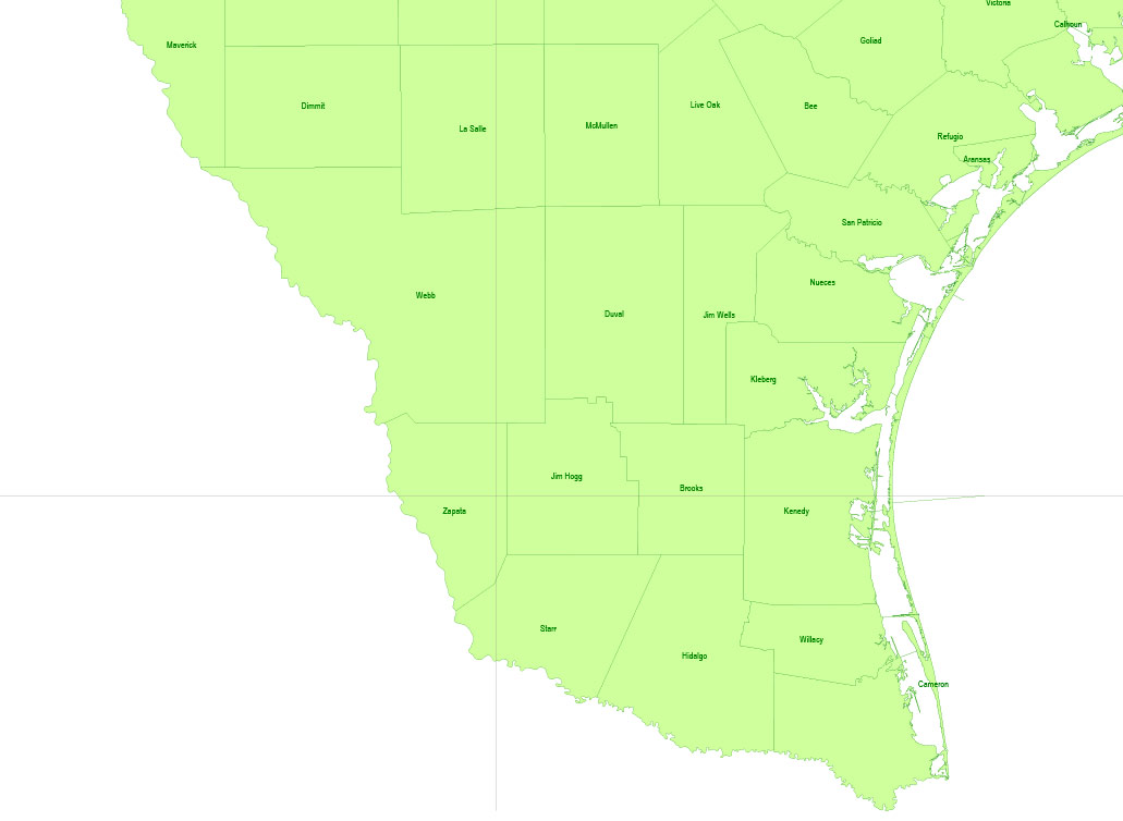
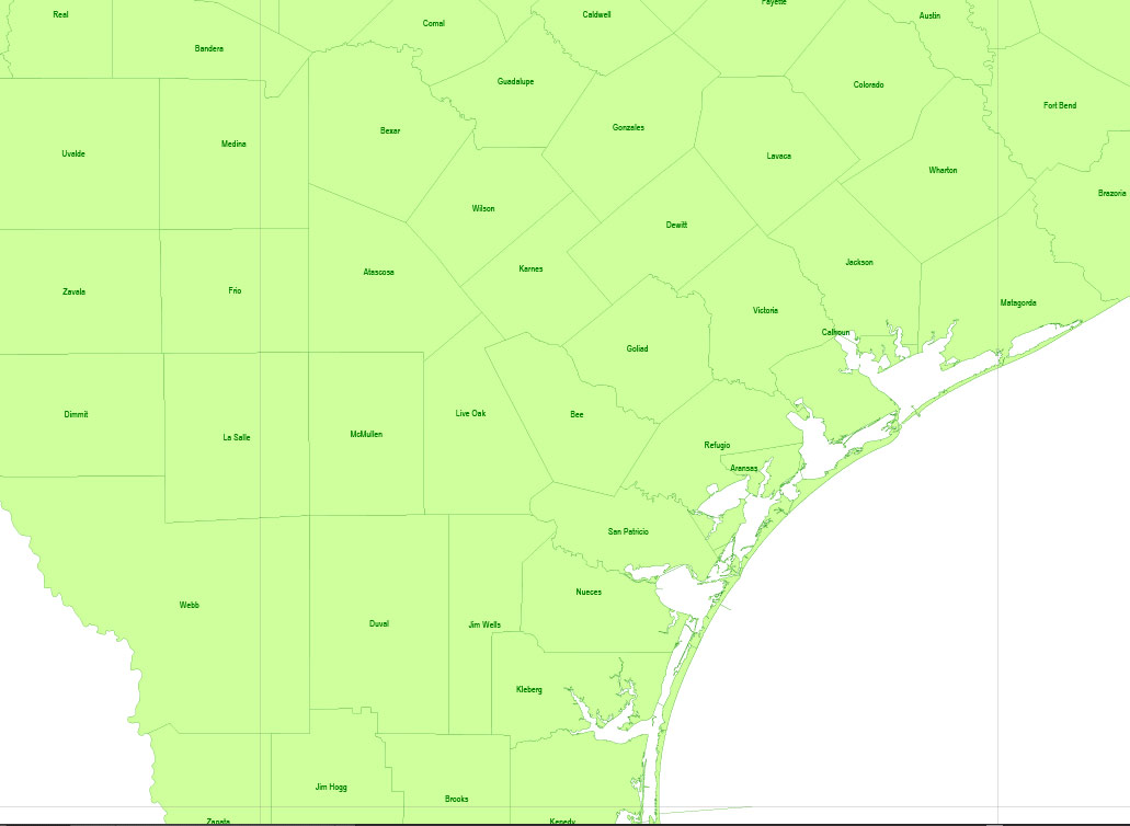
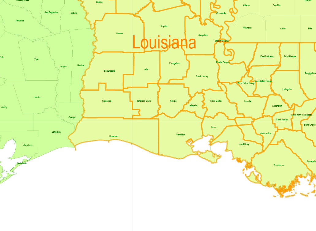
All counties names, state borders. Map for design, printing, arts, projects, presentations, for architects, designers, and builders, business, logistics.
Layers: States, names_states, counties, names counties, legend.
The most exact and detailed map of the States in scale.
For Editing and High-Quality Printing
Texas
US State
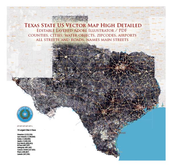
Texas is the second largest state in the United States by both area and population. Geographically located in the South Central region of the country.
Capital: Austin
Area: 695,662 km²
Population: 28.7 million (2018)
Louisiana
US State
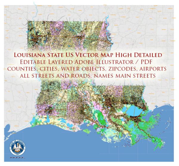
Louisiana is a southeastern U.S. state on the Gulf of Mexico. Its history as a melting pot of French, African, American and French-Canadian cultures is reflected in its Creole and Cajun cultures. The largest city, New Orleans, is known for its colonial-era French Quarter, raucous Mardi Gras festival, jazz music, Renaissance-style St. Louis Cathedral and wartime exhibits at the huge National WWII Museum.
Capital: Baton Rouge
Texas + Louisiana Counties Map Vector Exact State Plan detailed Admin Map editable Adobe Illustrator in layers
Texas + Louisiana Counties Map Vector Exact State Plan detailed Admin Map editable Adobe Illustrator in layers
Texas + Louisiana Counties Map Vector Exact State Plan detailed Admin Map editable Adobe Illustrator in layers
Texas + Louisiana Counties Map Vector Exact State Plan detailed Admin Map editable Adobe Illustrator in layers
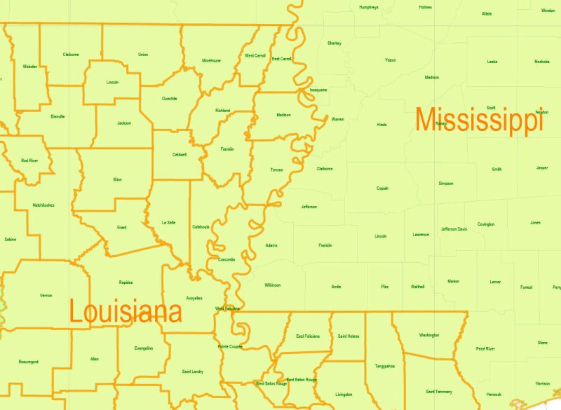
Texas + Louisiana Counties Map Vector Exact State Plan detailed Admin Map editable Adobe Illustrator in layers
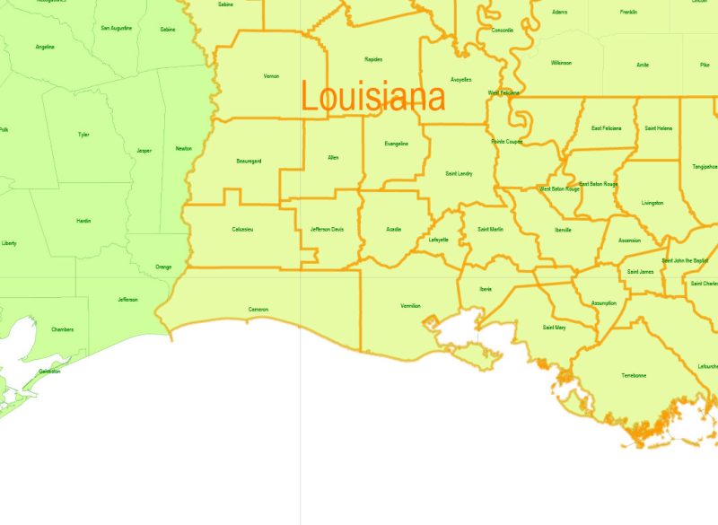
Texas + Louisiana Counties Map Vector Exact State Plan detailed Admin Map editable Adobe Illustrator in layers
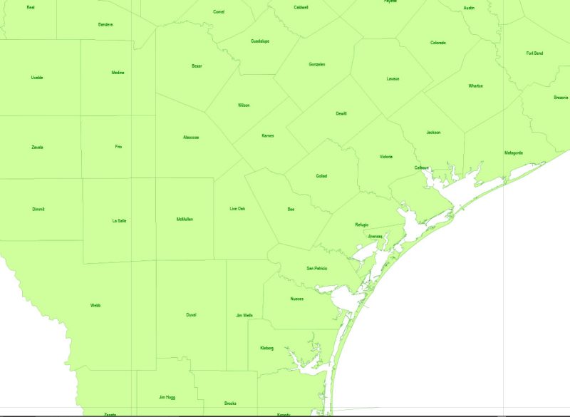
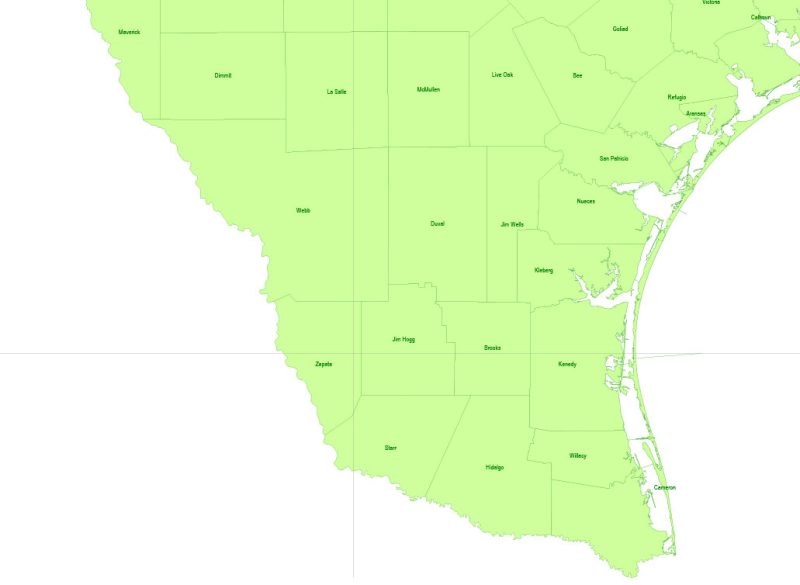
Texas + Louisiana Counties Map Vector Exact State Plan detailed Admin Map editable Adobe Illustrator in layers
Author Rating
Aggregate Rating
no rating based on 0 votes
@vectormapper
Product Name Texas + Louisiana Counties Map Vector Exact State Plan detailed Admin Map editable Adobe Illustrator in layers
Price
USD 21
Product Availability
Available in Stock



 Author: Kirill Shrayber, Ph.D. FRGS