Extended Description of the Vector Map
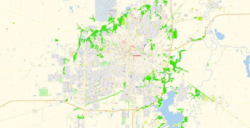
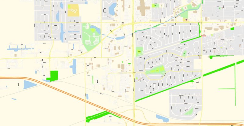
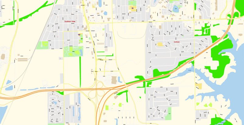
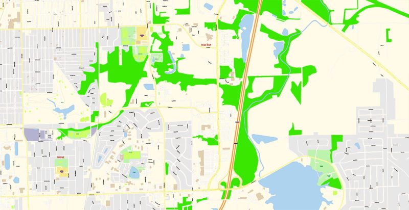
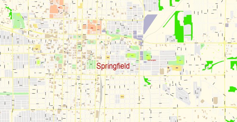
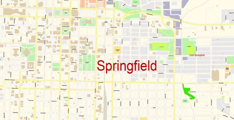
Printable Vector Map of Springfield Illinois US detailed City Plan scale 1:3610 full editable Adobe Illustrator Street Map in layers, scalable, text format all names, 7 MB ZIP
All street names, Main Objects, Buildings. Map for design, printing, arts, projects, presentations, for architects, designers, and builders, business, logistics.
Layers: color_fills, water, streets_roads, labels_roads, names_objects, names_streets, names_places, arrows_streets, buildings, grids, legend, etc.
The most exact and detailed map of the city in scale.
For Editing and High-Quality Printing
Springfield
City in Illinois
Springfield is the state capital of Illinois. Downtown, the interior of Illinois State Capitol’s large dome is decorated with stained glass and statues of historical figures. The 1904 Dana-Thomas House was designed by Frank Lloyd Wright. The Abraham Lincoln Presidential Library and Museum traces the life of the 16th U.S. president. Lincoln’s restored home is nearby. North, the Lincoln Tomb lies in Oak Ridge Cemetery.
Population: 114,868
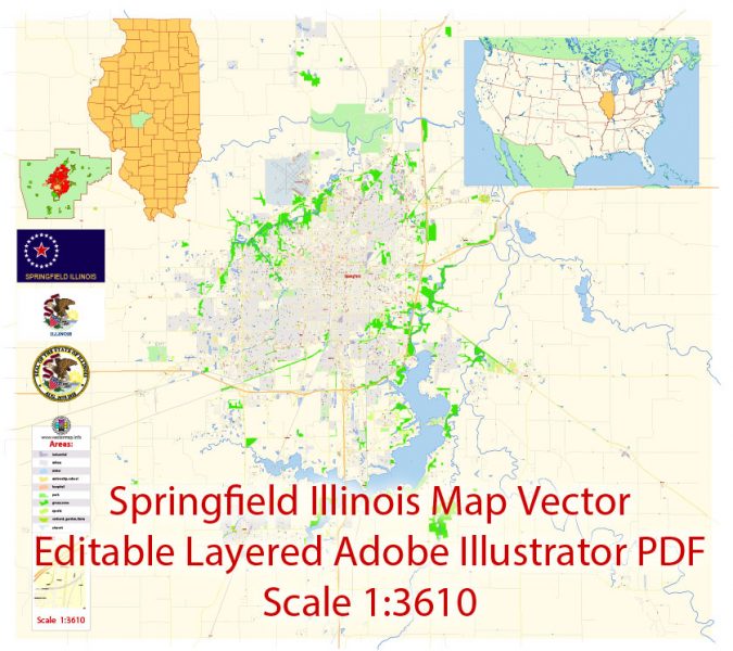
Springfield Illinois Map Vector Exact City Plan detailed Street Map editable Adobe Illustrator in layers
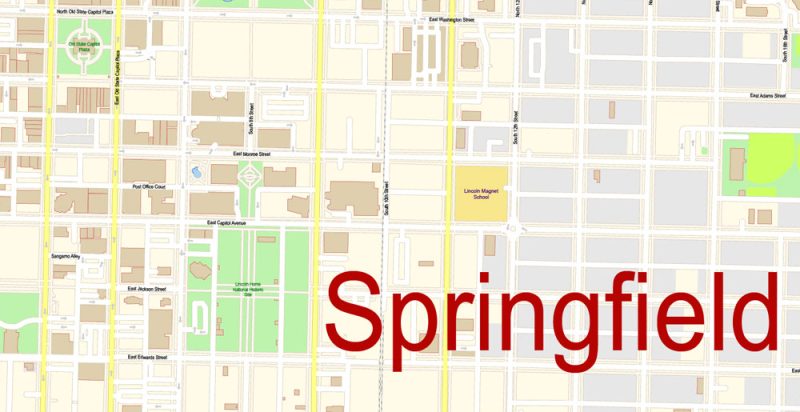
Springfield Illinois Map Vector Exact City Plan detailed Street Map editable Adobe Illustrator in layers
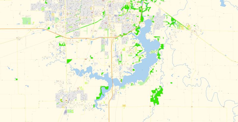
Springfield Illinois Map Vector Exact City Plan detailed Street Map editable Adobe Illustrator in layers
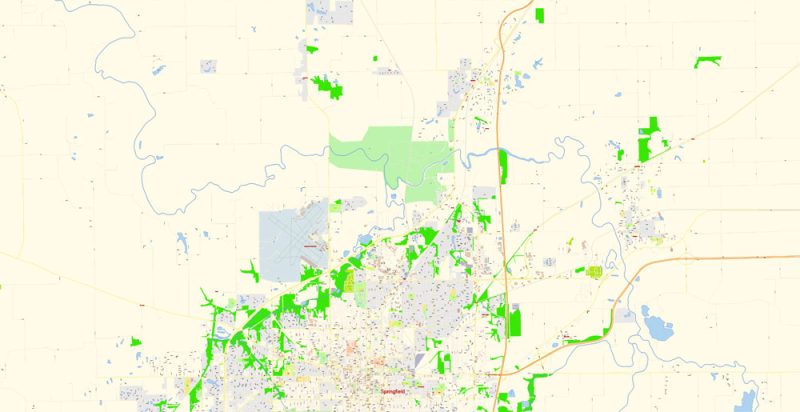
Springfield Illinois Map Vector Exact City Plan detailed Street Map editable Adobe Illustrator in layers
Springfield Illinois Map Vector Exact City Plan detailed Street Map editable Adobe Illustrator in layers
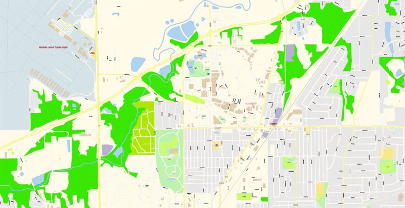
Springfield Illinois Map Vector Exact City Plan detailed Street Map editable Adobe Illustrator in layers
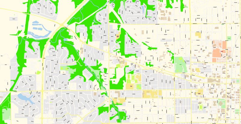
Springfield Illinois Map Vector Exact City Plan detailed Street Map editable Adobe Illustrator in layers
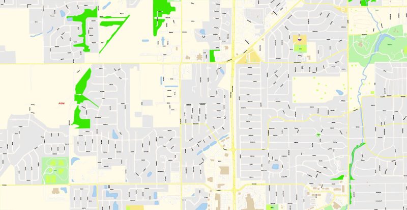
Springfield Illinois Map Vector Exact City Plan detailed Street Map editable Adobe Illustrator in layers
Springfield Illinois Map Vector Exact City Plan detailed Street Map editable Adobe Illustrator in layers
Springfield Illinois Map Vector Exact City Plan detailed Street Map editable Adobe Illustrator in layers
Springfield Illinois Map Vector Exact City Plan detailed Street Map editable Adobe Illustrator in layers
Springfield Illinois Map Vector Exact City Plan detailed Street Map editable Adobe Illustrator in layers
Springfield Illinois Map Vector Exact City Plan detailed Street Map editable Adobe Illustrator in layers


 Author: Kirill Shrayber, Ph.D. FRGS
 + Counties Areas editable Adobe Illustrator in layers")

