Extended Description of the Vector Map
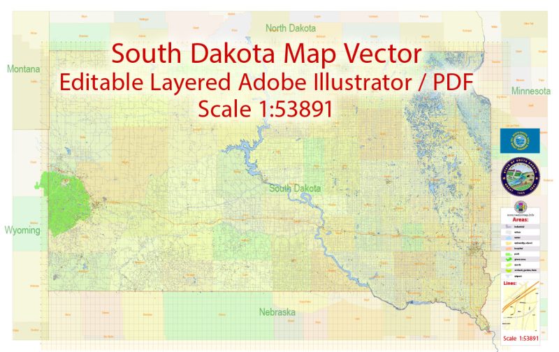
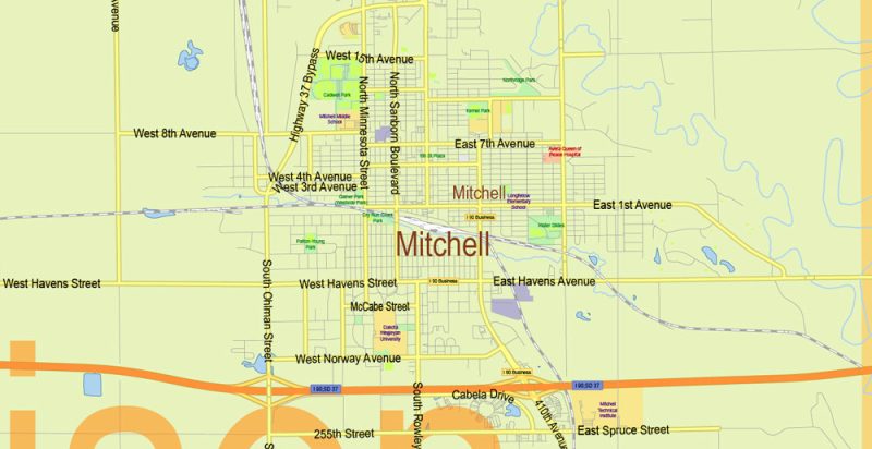
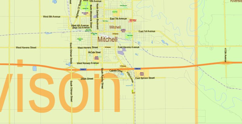
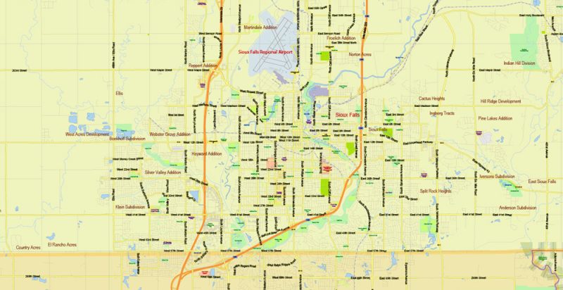
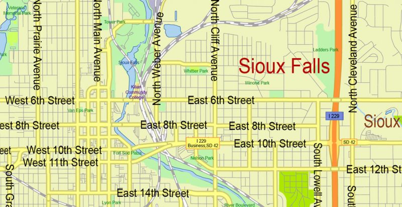
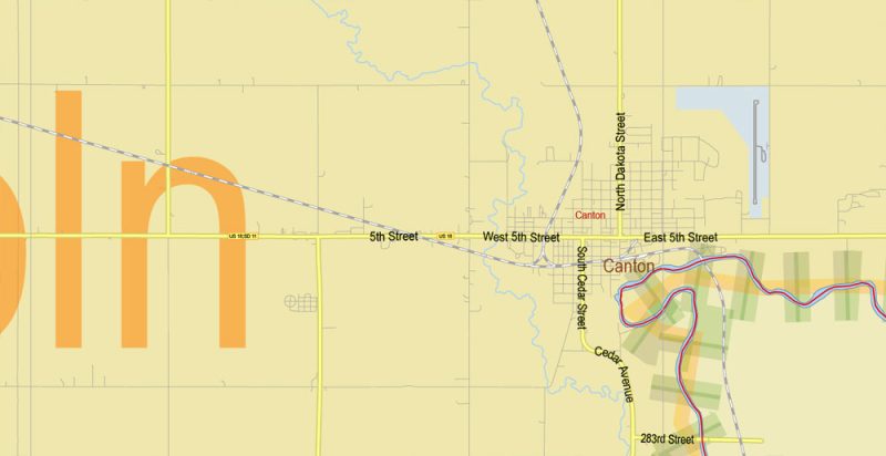
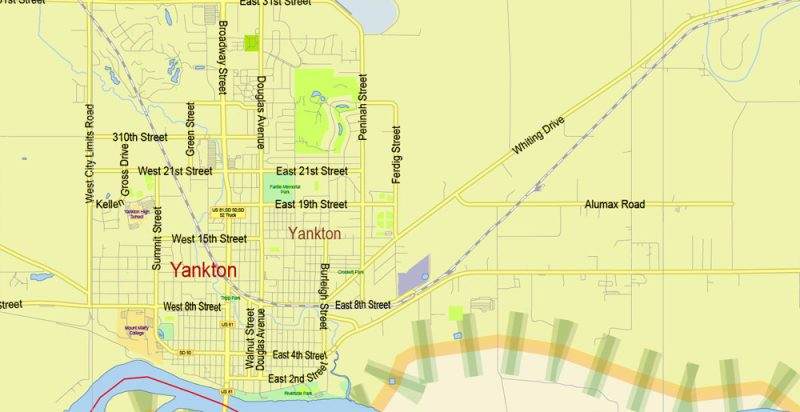
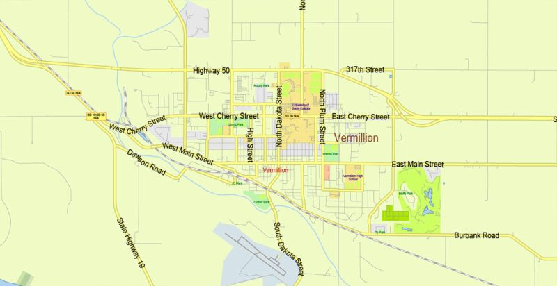
Printable Vector PDF Map of South Dakota State US detailed Plan scale 1:53891 full editable Adobe PDF Road Admin Map in layers, scalable, text format all names, 68 MB ZIP
Principal street names, All Cities and Towns, Main Objects, Counties. Map for design, printing, arts, projects, presentations, for architects, designers, and builders, business, logistics.
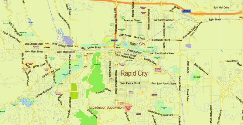
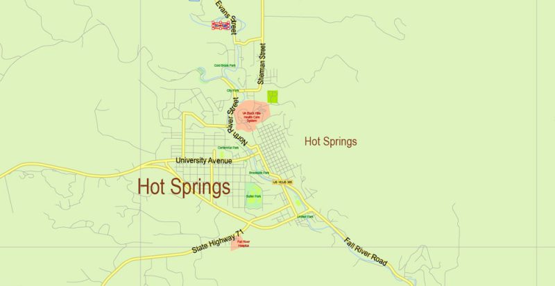
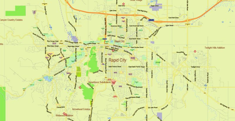
Layers: color_fills, water, streets_roads, labels_roads, counties_areas, state_areas, names_objects, names_streets, names_places, grids, legend, etc.
If you need: we can add postal codes (zip codes areas with numbers) to the map as a separated layer.
The most exact and detailed map of the state in scale.
For Editing and High-Quality Printing
South Dakota
South Dakota is a truly American province, where almost no major cities are found, and the state capital city of Pyrrhus is the penultimate in the number of inhabitants among the administrative centers of the American regions. South Dakota, like neighboring North Dakota, got its name from two Indian tribes — Dakota and Lakota, whose representatives still make up a considerable percentage of the state’s population.
South Dakota State Map Vector Exact Plan detailed Road Admin Map editable Adobe Illustrator in layers
In one of the largest state parks in the state, Custer Park has held annually “chase bison”, when everyone can participate in the corral of nearly 1,500 bison in the Central part of the array. Unlike earlier times of the Wild West, animals are forbidden to shoot, and the chase was just a regular fun, a kind of tribute to the past.
South Dakota State Map Vector Exact Plan detailed Road Admin Map editable Adobe Illustrator in layers
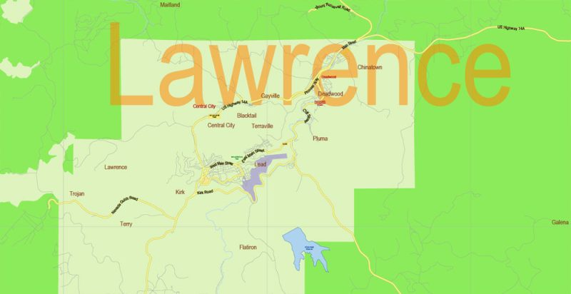
South Dakota occupies the territory of the Rocky Mountains, the Great Plains, as well as some of the Mississippi River basins, which led to very diverse terrain and picturesque neighborhoods. The most famous natural area of the region — the Black Hills, which for centuries is considered sacred to all Indian tribes living in the Great Plains. Legend has it that this place has a special magical energy, where you can get strength and various abilities.
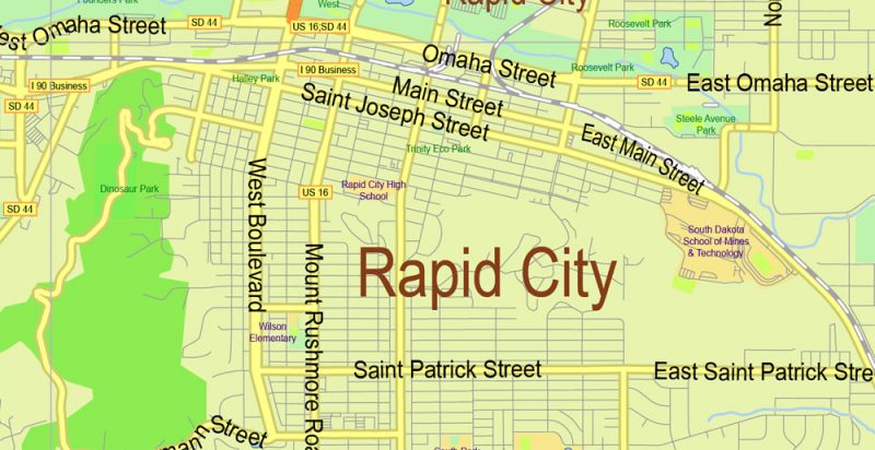
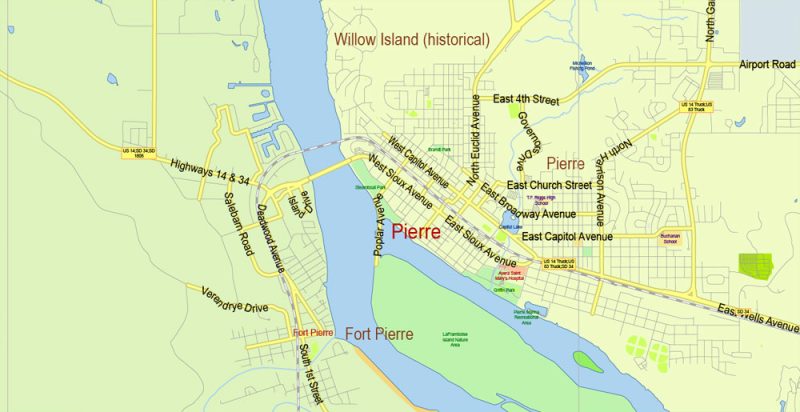
The state capital — Pierre.
The largest city is Sioux Falls.
South Dakota State Map Vector Exact Plan detailed Road Admin Map editable Adobe Illustrator in layers
South Dakota State Map Vector Exact Plan detailed Road Admin Map editable Adobe Illustrator in layers
South Dakota State Map Vector Exact Plan detailed Road Admin Map editable Adobe Illustrator in layers
South Dakota State Map Vector Exact Plan detailed Road Admin Map editable Adobe Illustrator in layers
South Dakota State Map Vector Exact Plan detailed Road Admin Map editable Adobe Illustrator in layers
South Dakota State Map Vector Exact Plan detailed Road Admin Map editable Adobe Illustrator in layers
South Dakota State Map Vector Exact Plan detailed Road Admin Map editable Adobe Illustrator in layers
South Dakota State Map Vector Exact Plan detailed Road Admin Map editable Adobe Illustrator in layers
South Dakota State Map Vector Exact Plan detailed Road Admin Map editable Adobe Illustrator in layers
South Dakota State Map Vector Exact Plan detailed Road Admin Map editable Adobe Illustrator in layers
South Dakota State Map Vector Exact Plan detailed Road Admin Map editable Adobe Illustrator in layers
South Dakota State Map Vector Exact Plan detailed Road Admin Map editable Adobe Illustrator in layers
South Dakota State Map Vector Exact Plan detailed Road Admin Map editable Adobe Illustrator in layers


 Author: Kirill Shrayber, Ph.D. FRGS

