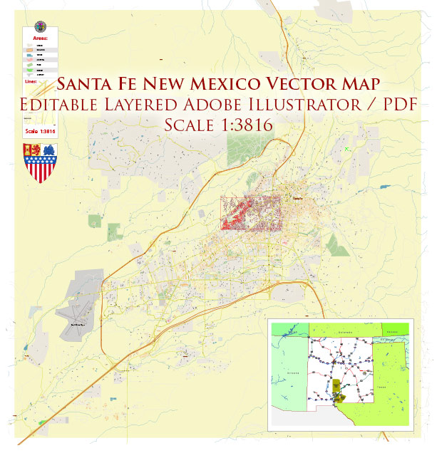
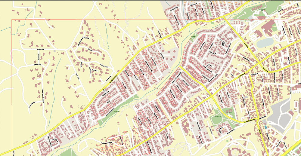
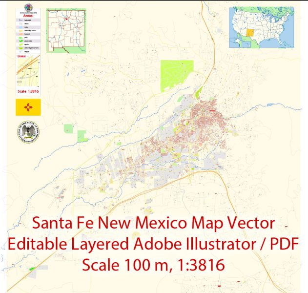
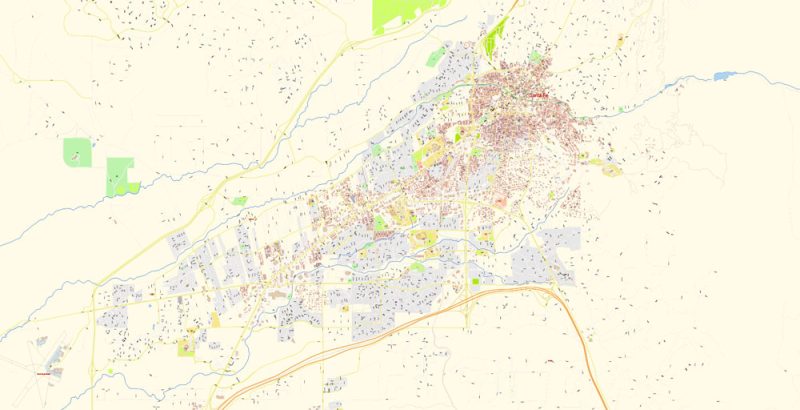
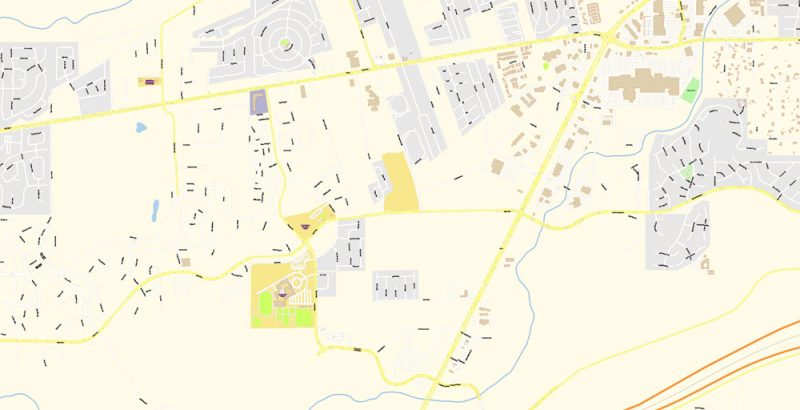
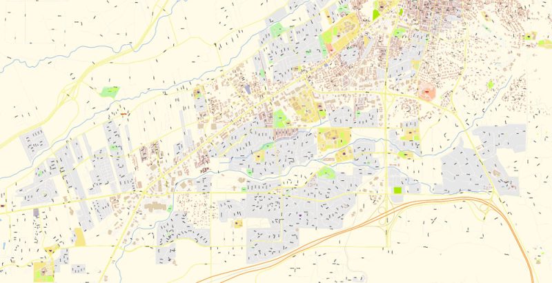
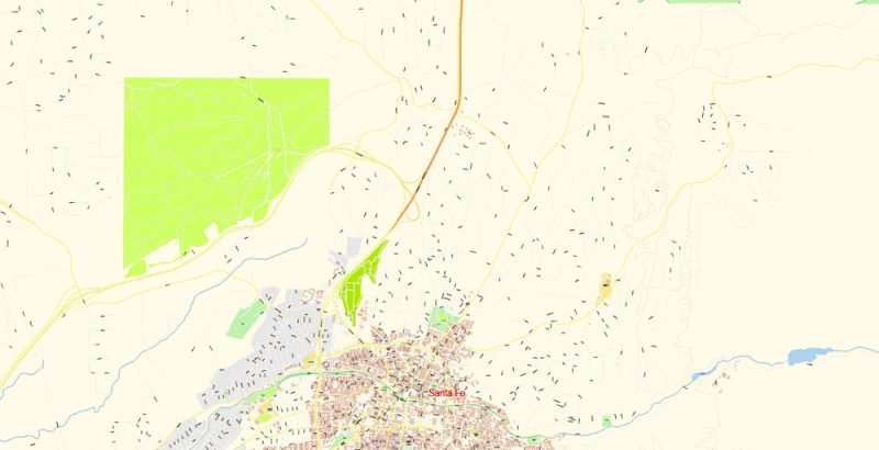
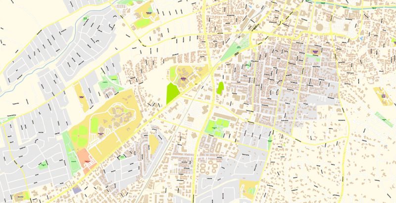
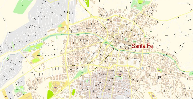
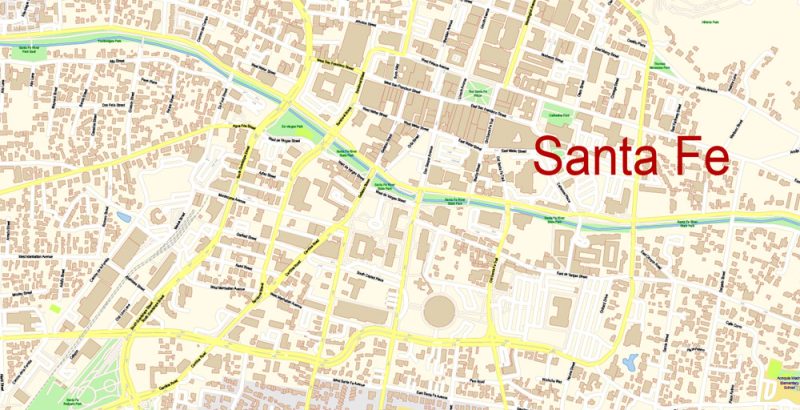
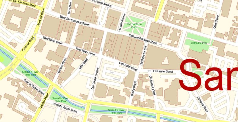
Printable PDF Vector Map of Santa Fe New Mexico US detailed City Plan scale 100 m 1:3816 full editable Adobe PDF Street Map in layers, scalable, text format all names, 20 MB ZIP
All street names, Main Objects, Principal Buildings. Map for design, printing, arts, projects, presentations, for architects, designers, and builders, business, logistics.
Layers: color_fills, water, streets_roads, labels_roads, names_objects, names_streets, names_places, arrows_streets, buildings, grids, legend, etc.
The most exact and detailed map of the city in scale.
For Editing and High-Quality Printing
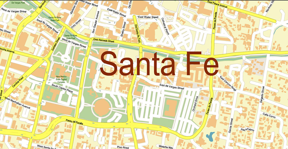
Santa Fe
City in New Mexico
Santa Fe, New Mexico’s capital, sits in the Sangre de Cristo foothills. It’s renowned for its Pueblo-style architecture and as a creative arts hotbed. Founded as a Spanish colony in 1610, it has at its heart the traditional Plaza. The surrounding historic district’s crooked streets wind past adobe landmarks including the Palace of the Governors, now home to the New Mexico History Museum.
Elevation: 2,194 m
Population: 83,776
Urban plan Santa Fe New Mexico: Digital Cartography
The state capital, Santa Fe, is rich in historical attractions, as are other major cities – Albuquerque, Las Cruces, Roswell, Farmington, Rio Rancho, Alamogordo.
History
In the 17th century, New Mexico attracted the attention of the Spaniards, they rushed here in search of gold. And from that moment on, the history of the state is the history of the bloody colonial wars between Mexico and the United States. As a result, New Mexico became a part of the states in 1912 and by the 40s of the 20th century, it became the site of the creation of the largest scientific and military base for nuclear energy and space research. In the infamous Los Alamos in 1945, the first ground test of an atomic bomb took place. And it is in the deserted southwest of New Mexico that the “Spaceport America” is being built, wherein the near future the dream of all science fiction writers about the possibility of flights for “space tourists” will come true.
How to get to New Mexico
Santa Fe Municipal Airport accepts scheduled flights from Los Angeles, Dallas, and Denver. The phone number for inquiries is 505-955-29-00.
In Albuquerque, tourists are served by the Sunport International Airport: 505-244-77-00.
In the satellite city of Santa Fe – Lami, the Chicago – Los Angeles train stops daily at the Amtrak railway station, where you can also transfer to the express bus from the station to the Santa Fe center.
New Mexico is located in the western United States and occupies an extensive mountainous and sandy territory of 315,194 square kilometers (one of the largest regions in the country). The “Charming Land” has borders with the states of Colorado in the north, Oklahoma in the northeast, Texas in the east, Arizona in the west, and with Mexico – along the Rio Grande River in the south. The state also has an unusual geographical feature: at the point with the talking name “Four Corners”, where the western border of the state flows into the southern one, the borders of four states intersect at an angle of 90 degrees (New Mexico, Colorado, Arizona and literally at one point – Utah).
New Mexico attracts tourists not only with its unique natural attractions but also with historical monuments of Indian culture: a UNESCO heritage site – Taos Pueblo (representatives of the Pueblo people still live in thousand-year-old houses), Aztec ruins, Bandelier (Frijoles Canyon with Pueblo ruins), rock dwellings in the Gila Valley, the Petroglyph National Monument in Albuquerque, the remains of Fort Union and many others.
In addition, the state is known for its active creative life. The capital of Santa Fe is considered a prestigious center of contemporary art, along with New York and Los Angeles. There are museums such as the Museum of New Mexico, the Georgia O’Keeffe Gallery, the International Folk Art Museum, the Wheelwright Museum of American Indians.
The inspiration for contemporary art is the rich heritage of not only Indian culture but also Spanish, which is carefully preserved by numerous cultural centers. Thus, the international flamenco festival in New Mexico is no less popular than in the homeland of dance — in Spain.
Santa Fe is imbued with the charm of colonial Spain and refined simplicity.
The Palace of Governors (1610) on the Plaza, the chapel of Capilla de Nuestra Secora with a statue of the Madonna (1625), the Cathedral of St. Francis, the Monastery of Guadalupe, – to visit them is like visiting medieval Spain.
Every year UFO fans come to New Mexico for the UFO festival, which takes place near the Roswell military base. The place was not chosen by chance. Here, in 1947, the military command announced the discovery of traces of alien origin. Later, a refutation was given with information that the find turned out to be a balloon, but its classified status has been tormenting the minds of those who are not indifferent for many years.
The small town of Lincoln attracts tourists with memorable places associated with the name of a legendary man, a famous American criminal of the 19th century – Billy the Kid. This real character became a cult after numerous films were made about his adventures. The inextinguishable romance of the western excites both fans of this genre of cinema and fans of American history.
In the north of New Mexico stretches the Sangre de Cristo mountain range (translated from Spanish — “blood of Christ”, the name is associated with the characteristic red color of rocks), the San Juan, Jemez, and Sandia ranges. The height of most of the mountains forming Sangre de Cristo reaches 3,500 meters above sea level. Wheeler Peak is the highest point in the state (4,013 meters).
In the southeast are the Guadalupe Mountains, known for one of the most popular American national parks — the Carlsbad Caves. This is a chain of karst caves, the relief of which began to form 500 thousand years ago, and this process continues to this day.
Individual caves are under active change and represent a natural “underground laboratory” where geological processes can be observed in natural conditions.
Another unusual natural object in New Mexico is the White Sands Nature Reserve, which covers an area of 59 thousand hectares of the Tularosa desert plain, sandwiched by the San Andreas and Sacramento mountain ranges.
Two unique geological and geomorphological phenomena occur here: the lunar landscape of snow-white gypsum sand is adjacent to a huge, absolutely black area of volcanic lava of relatively recent origin.
Giant piles of sparkling sand have been formed for thousands of years during the destruction of gypsum layers and the sifting of particles in arid climates. Sand dunes with a height of 18 meters are folded into a belt 8 meters wide, 40 kilometers long, which constantly moves under the pressure of the wind, forming bizarre patterns. The sight is truly fascinating!
Related Images “Urban plan Santa Fe New Mexico PDF”:
Santa Fe New Mexico PDF Map Vector Exact City Plan detailed Street Map Adobe PDF in layers
Santa Fe New Mexico PDF Map Vector Exact City Plan detailed Street Map Adobe PDF in layers
Santa Fe New Mexico PDF Map Vector Exact City Plan detailed Street Map Adobe PDF in layers
Santa Fe New Mexico PDF Map Vector Exact City Plan detailed Street Map Adobe PDF in layers
Santa Fe New Mexico PDF Map Vector Exact City Plan detailed Street Map Adobe PDF in layers
Santa Fe New Mexico PDF Map Vector Exact City Plan detailed Street Map Adobe PDF in layers
Santa Fe New Mexico PDF Map Vector Exact City Plan detailed Street Map Adobe PDF in layers
Santa Fe New Mexico PDF Map Vector Exact City Plan detailed Street Map Adobe PDF in layers
Santa Fe New Mexico PDF Map Vector Exact City Plan detailed Street Map Adobe PDF in layers


 Author: Kirill Shrayber, Ph.D. FRGS

