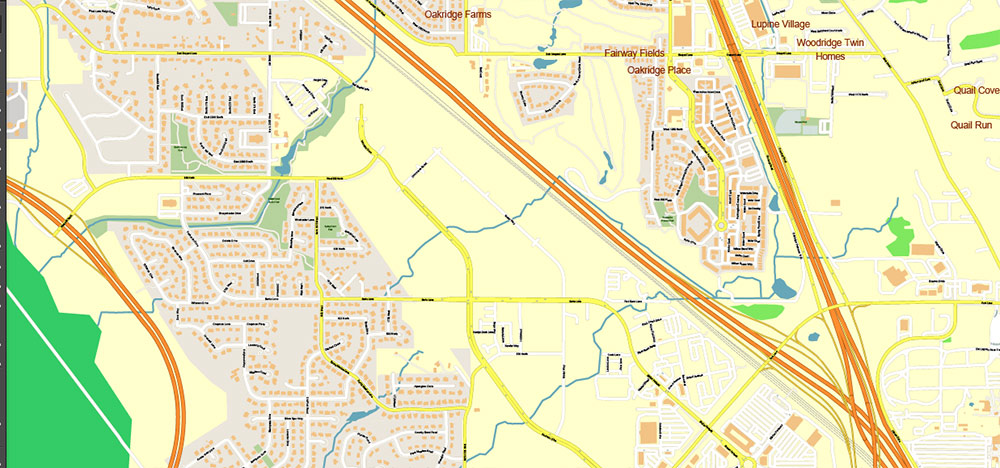
Printable PDF Vector Map of Salt Lake City / Provo / Ogden Metro Area, Utah US (metro area) detailed City Plan scale 1:3562 full editable Adobe PDF Street Map in layers, scalable, text format all names, 317 MB ZIP
All street names, Main Objects, Buildings. Map for design, printing, arts, projects, presentations, for architects, designers, and builders, business, logistics.
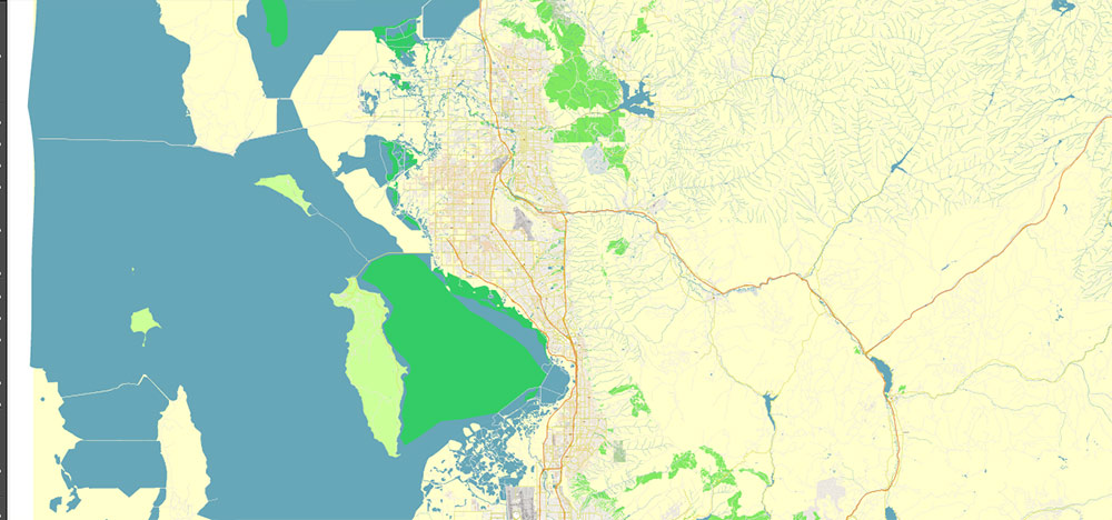
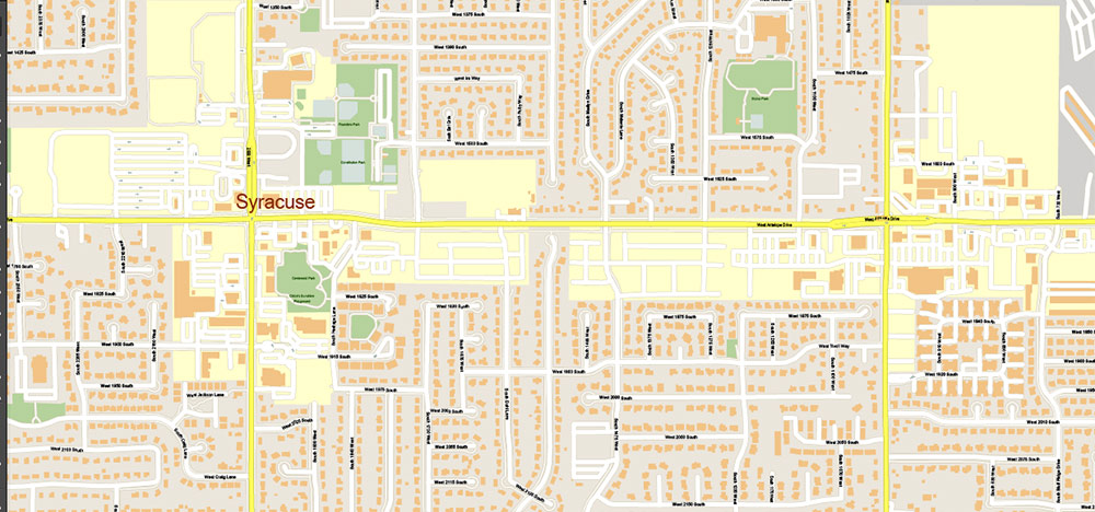
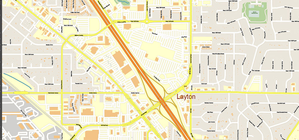
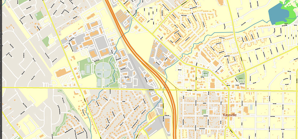
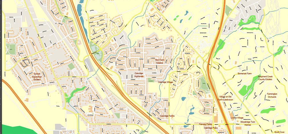
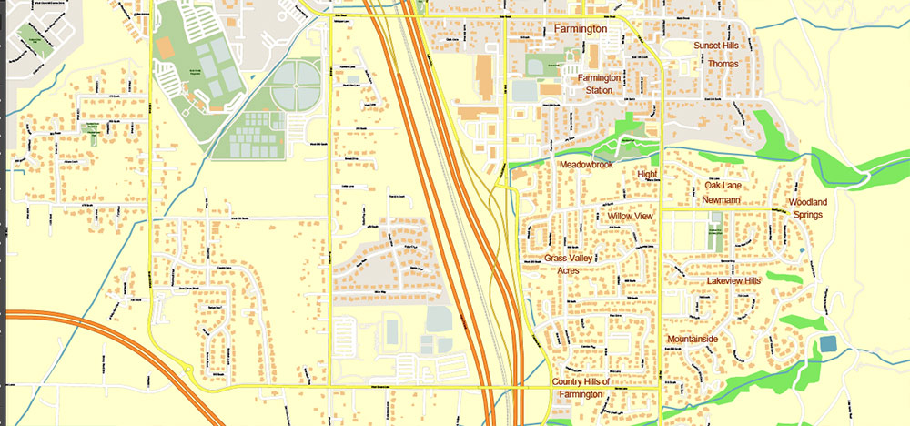
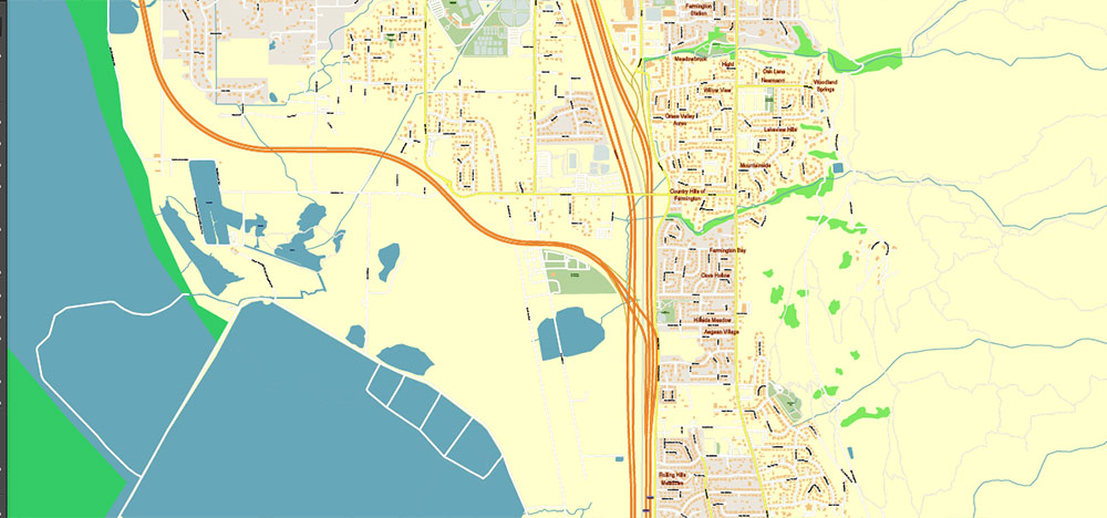
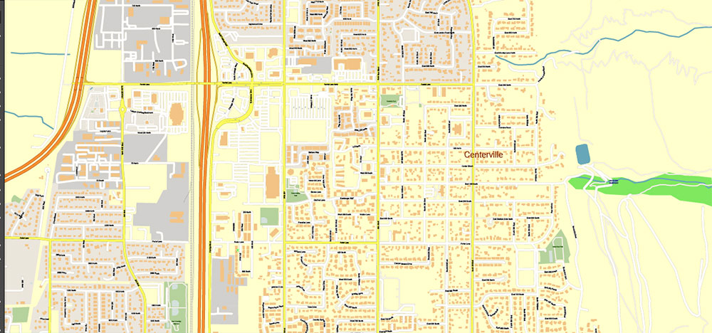
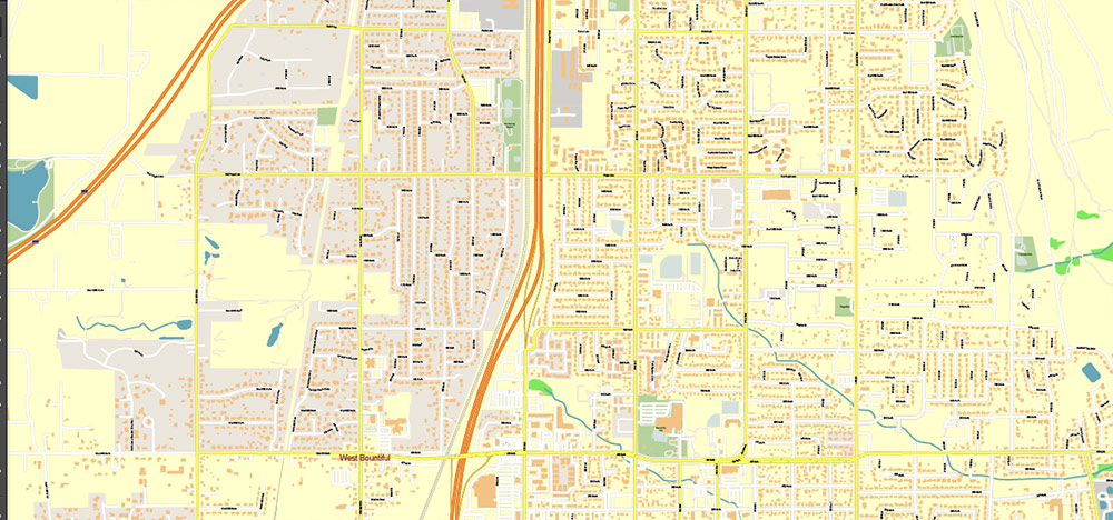
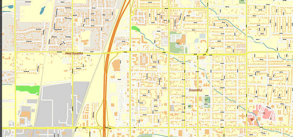
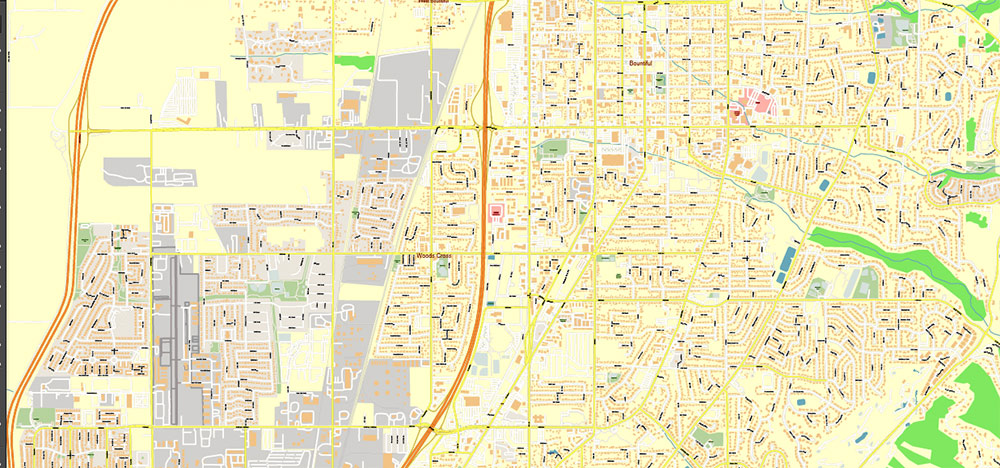
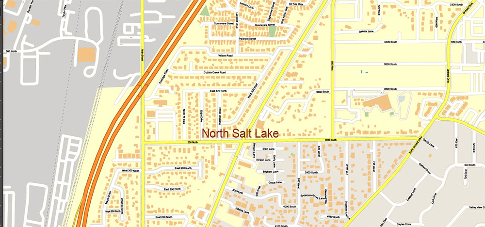
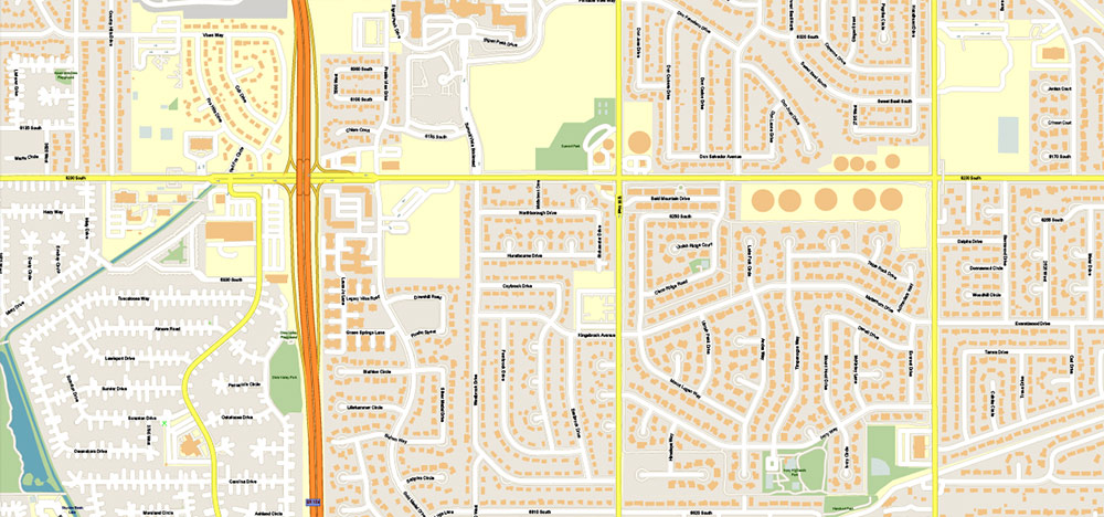
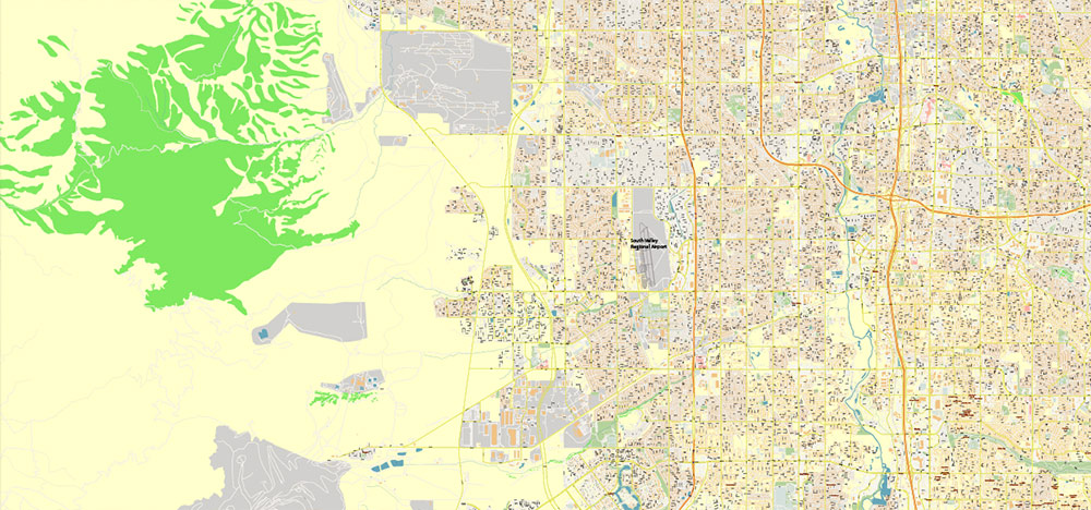
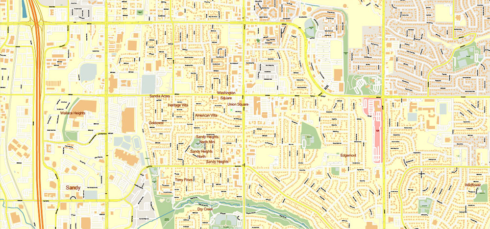
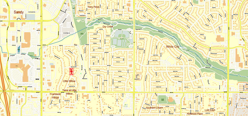
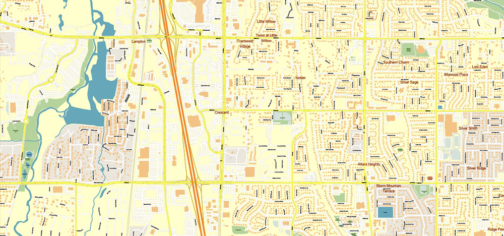
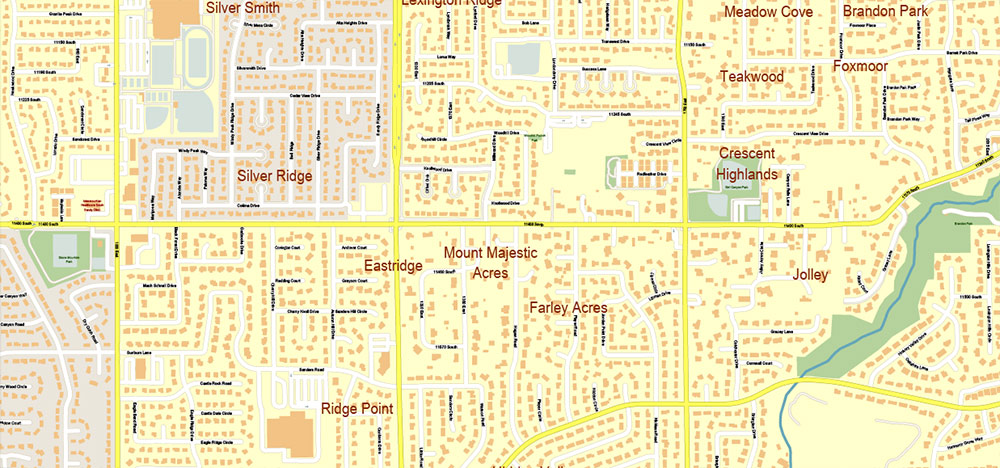
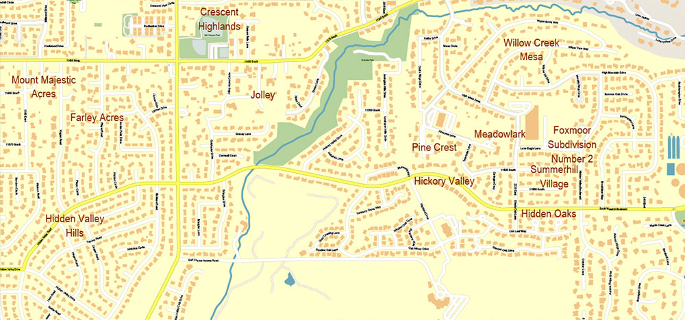
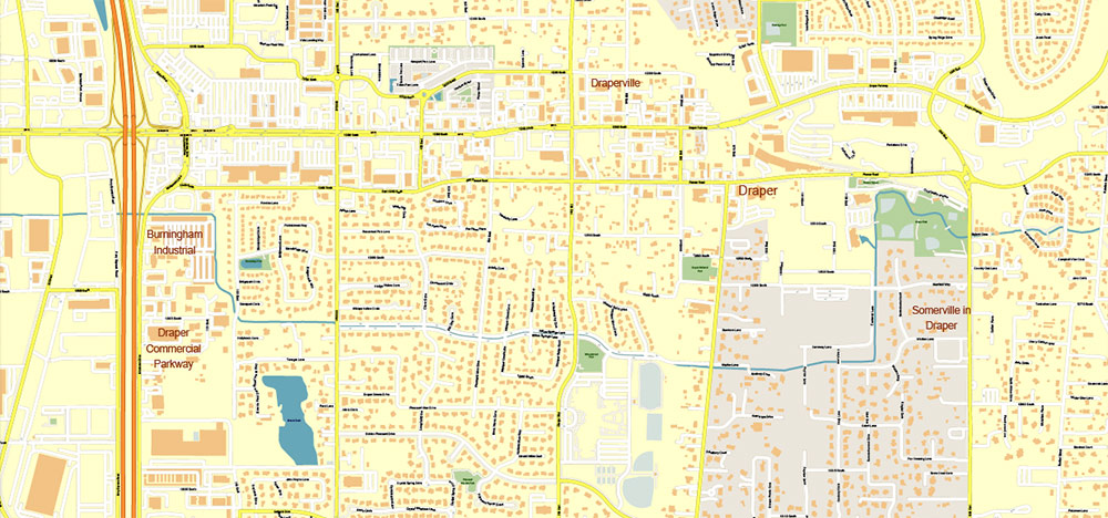
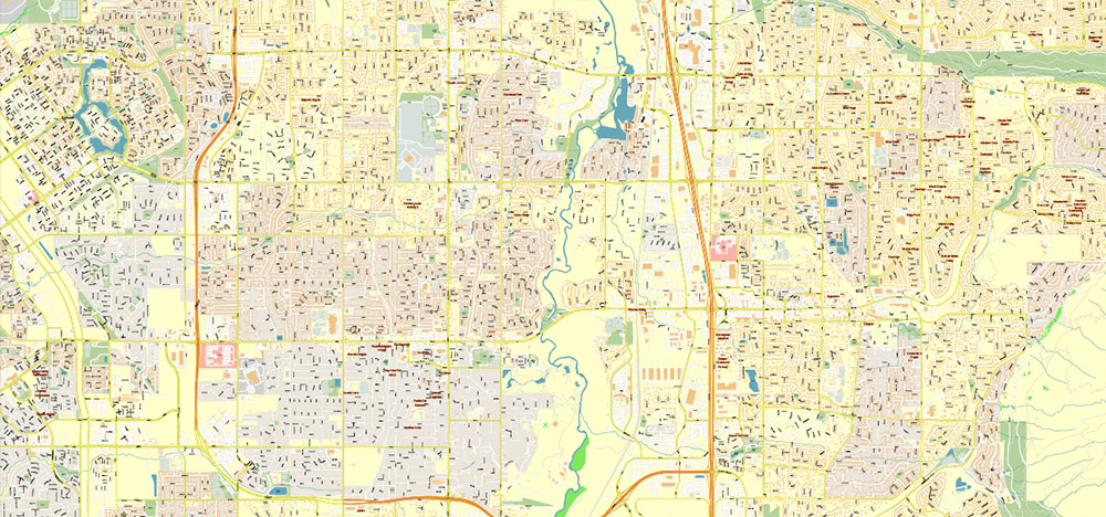
Salt Lake City, Ogden and Provo, Utah US PDF Map Vector Exact City Plan High Detailed Street Map editable Adobe PDF in layers
Layers list:
- Legend
- Grids
- Labels of roads
- Names of places (city, hamlet, etc.)
- Names of objects (hospitals, schools, parks, water)
- Names of main streets
- Names of civil streets
- Arrows of streets
- Main Streets, roads, railroads, lines
- Civil streets
- Railroads
- Buildings
- Airports and heliports
- Water objects (rivers, lakes, ponds)
- Waterways
- Color fills (parks, hospital areas, school areas, land use, etc.)
- Background
IF YOU NEED: We can add the layers with admin areas (counties) and zip codes areas and numbers to this map. It’s free for our customers.
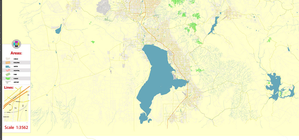
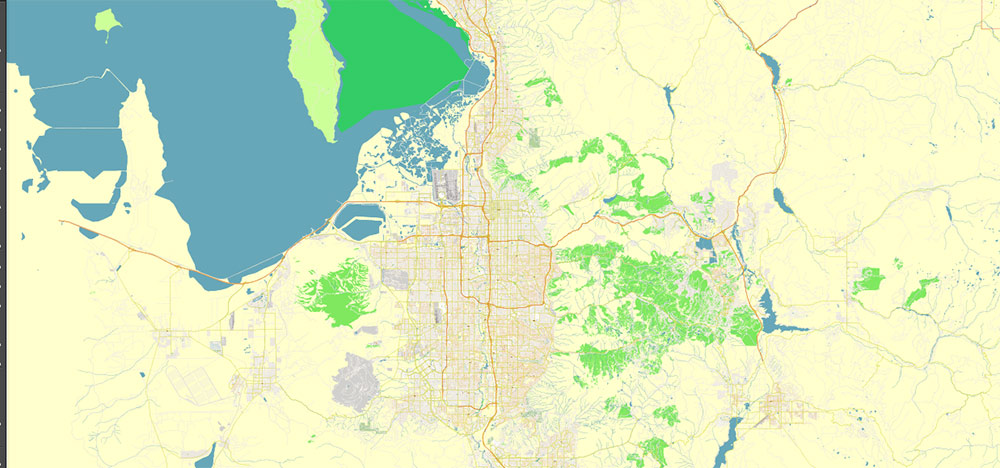
Geography and Setting
The Salt Lake City metropolitan area, often referred to as the Wasatch Front, is the dominant urban corridor of northern Utah. It stretches for more than 100 miles from Ogden in the north through Salt Lake City in the center to Provo in the south. The region lies between two striking natural features: the Wasatch Range rising sharply to the east, and the Great Salt Lake and Utah Lake marking the western lowlands. Elevations average around 4,300–4,600 feet (1,310–1,400 meters) above sea level, giving the entire area a high-desert character. The topography confines development to long valley floors, with major highways and rail lines running parallel north–south.
The climate is semi-arid continental. Summers are hot and dry, with July temperatures often reaching 90–95 °F (32–35 °C), while winters bring cold air, frequent snowstorms, and periods of valley inversion when pollution is trapped under a lid of stagnant air. The mountains immediately east of the cities provide heavy snowfall that feeds rivers and reservoirs, and have made northern Utah a global center for skiing and winter recreation.
Salt Lake City
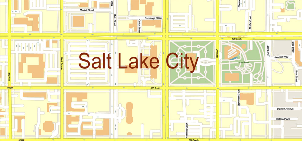
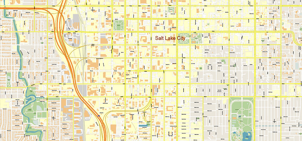
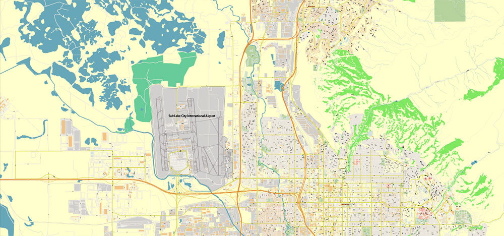
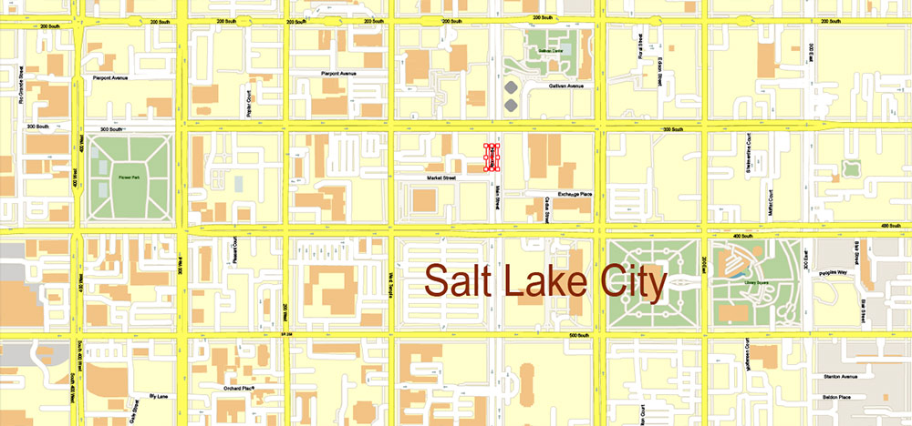
Salt Lake City, the state capital and largest city in Utah, occupies the northeast corner of the Salt Lake Valley, just a few miles southeast of the Great Salt Lake itself. The city proper covers more than 110 square miles and has a population of about 200,000, while the larger metropolitan area surpasses 1.2 million. The street grid is famously oriented to Temple Square, the historic headquarters of the Church of Jesus Christ of Latter-day Saints. Addresses radiate outward from Main Street and South Temple, creating an orderly coordinate system that remains easy to navigate.
Principal Roads and Highways:
– Interstate 15 is the main artery, cutting north–south through the valley.
– Interstate 80 runs east–west, linking the city to Nevada and Wyoming.
– I-215 forms a partial belt route around the western and southern suburbs.
– Within the grid, State Street (US-89) is the traditional commercial spine, while 400 South, Foothill Drive, and Redwood Road are other important thoroughfares.
Highlights and Attractions:
– Temple Square, with the Salt Lake Temple and Tabernacle, is both religious center and visitor landmark.
– The Utah State Capitol, on a hill above downtown, offers views over the valley.
– The Natural History Museum of Utah and adjacent Red Butte Garden showcase regional science and landscapes.
Provo
Provo lies about 45 miles south of Salt Lake City on the eastern shore of Utah Lake, backed by Mount Timpanogos and the Wasatch Range. With roughly 115,000 residents, it is the heart of Utah County and together with neighboring Orem forms a secondary urban core in the valley. The presence of Brigham Young University gives the city a distinctly academic and youthful character.
Principal Roads and Highways:
– I-15 passes through the western part of the city, linking Provo directly to Salt Lake City and Ogden.
– University Avenue (US-189) runs north through downtown and into scenic Provo Canyon.
– University Parkway (State Route 265) connects Provo to Orem and the university district.
– Center Street forms a historic east–west axis through downtown.
Highlights and Attractions:
– The BYU campus and its Museum of Art attract students and visitors alike.
– Provo Canyon leads eastward to Bridal Veil Falls and the alpine Heber Valley.
– Utah Lake State Park provides boating and recreation on one of the West’s largest freshwater lakes.
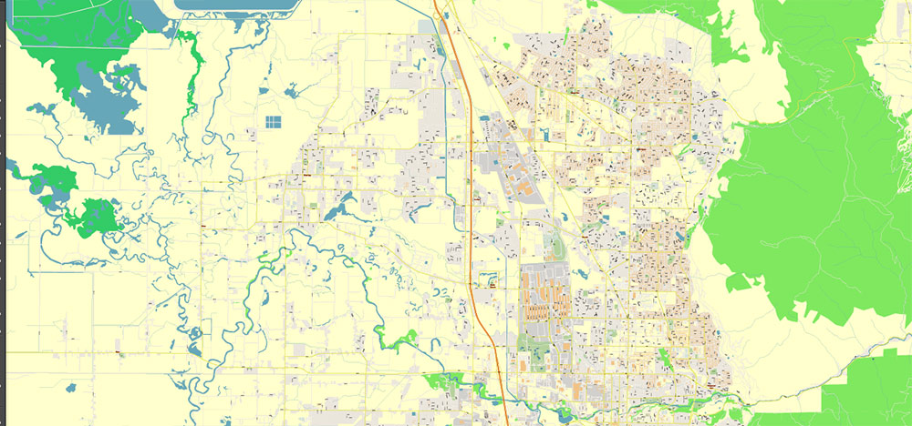
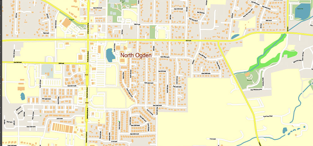
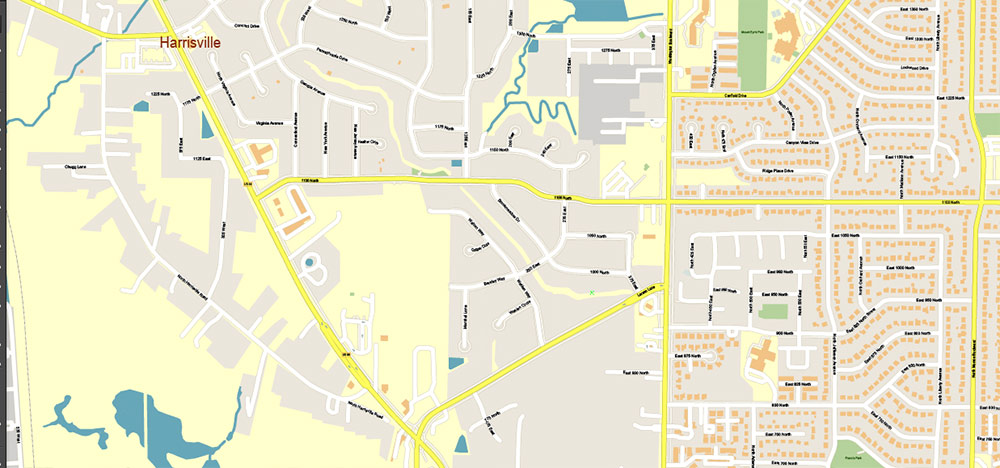
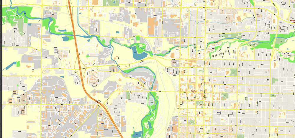
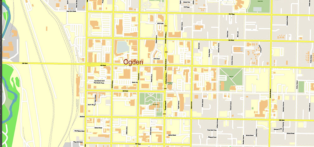
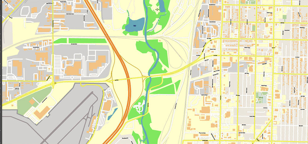
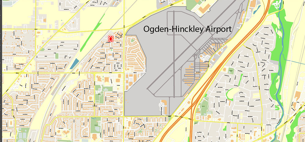
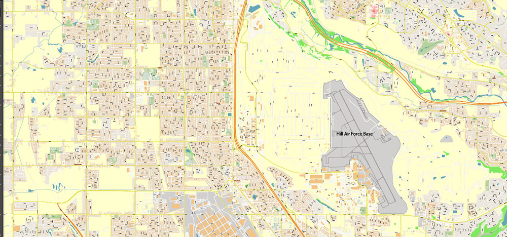
Ogden
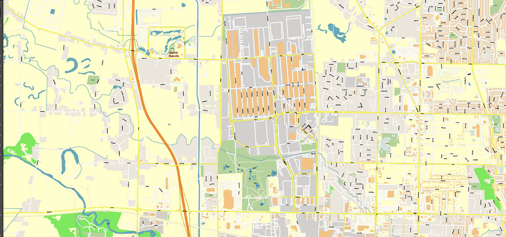
Ogden, located 40 miles north of Salt Lake City, has a population close to 90,000 and serves as the county seat of Weber County. Historically it was Utah’s great rail hub, where transcontinental lines converged at Union Station. Today the city balances its heritage with access to mountain recreation. The Ogden and Weber Rivers meet west of downtown before flowing toward the Great Salt Lake.
Principal Roads and Highways:
– I-15 runs along the western edge of the city, the main link to Salt Lake City and Provo.
– Interstate 84 skirts the southern side, providing access to the eastern canyons.
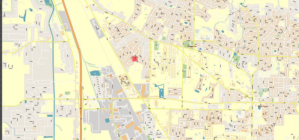
– Washington Boulevard (US-89) is the central north–south avenue through downtown.
– 12th Street (State Route 39) runs east into Ogden Canyon and up to Pineview Reservoir.
Highlights and Attractions:
– Historic 25th Street and Union Station preserve the city’s railroading past with museums and restaurants.
– The Eccles Dinosaur Park combines paleontology with outdoor sculpture.
– Nearby Snowbasin Resort and the Upper Ogden Valley are gateways to skiing, hiking, and mountain scenery.
Regional Character
Together, Salt Lake City, Provo, and Ogden form a continuous urban strip known as the Wasatch Front, home to more than 2.5 million people—about 75 percent of Utah’s population. The Wasatch Mountains rise dramatically just east of the corridor, with canyons such as Parley’s, Provo, and Ogden providing access routes and recreational escapes. To the west, broad valleys open toward saline lakes, wetlands, and the desert basins of the Great Basin region.
The combination of high-desert climate, spectacular mountain backdrop, and a network of major highways makes the region unique: both highly urbanized and immediately adjacent to wilderness. For cartographic products, the area is defined by its strong north–south orientation along Interstate 15, with Salt Lake City as the central hub, Provo anchoring the south, and Ogden the north.
Salt Lake City, Ogden and Provo, Utah US PDF Map Vector Exact City Plan High Detailed Street Map editable Adobe PDF in layers
Salt Lake City, Ogden and Provo, Utah US PDF Map Vector Exact City Plan High Detailed Street Map editable Adobe PDF in layers
Salt Lake City, Ogden and Provo, Utah US PDF Map Vector Exact City Plan High Detailed Street Map editable Adobe PDF in layers
Salt Lake City, Ogden and Provo, Utah US PDF Map Vector Exact City Plan High Detailed Street Map editable Adobe PDF in layers
Salt Lake City, Ogden and Provo, Utah US PDF Map Vector Exact City Plan High Detailed Street Map editable Adobe PDF in layers
Salt Lake City, Ogden and Provo, Utah US PDF Map Vector Exact City Plan High Detailed Street Map editable Adobe PDF in layers
Salt Lake City, Ogden and Provo, Utah US PDF Map Vector Exact City Plan High Detailed Street Map editable Adobe PDF in layers
Salt Lake City, Ogden and Provo, Utah US PDF Map Vector Exact City Plan High Detailed Street Map editable Adobe PDF in layers
Salt Lake City, Ogden and Provo, Utah US PDF Map Vector Exact City Plan High Detailed Street Map editable Adobe PDF in layers
Salt Lake City, Ogden and Provo, Utah US PDF Map Vector Exact City Plan High Detailed Street Map editable Adobe PDF in layers
Salt Lake City, Ogden and Provo, Utah US PDF Map Vector Exact City Plan High Detailed Street Map editable Adobe PDF in layers
Salt Lake City, Ogden and Provo, Utah US PDF Map Vector Exact City Plan High Detailed Street Map editable Adobe PDF in layers
Salt Lake City, Ogden and Provo, Utah US PDF Map Vector Exact City Plan High Detailed Street Map editable Adobe PDF in layers
Salt Lake City, Ogden and Provo, Utah US PDF Map Vector Exact City Plan High Detailed Street Map editable Adobe PDF in layers
Salt Lake City, Ogden and Provo, Utah US PDF Map Vector Exact City Plan High Detailed Street Map editable Adobe PDF in layers
Salt Lake City, Ogden and Provo, Utah US PDF Map Vector Exact City Plan High Detailed Street Map editable Adobe PDF in layers
Salt Lake City, Ogden and Provo, Utah US PDF Map Vector Exact City Plan High Detailed Street Map editable Adobe PDF in layers
Salt Lake City, Ogden and Provo, Utah US PDF Map Vector Exact City Plan High Detailed Street Map editable Adobe PDF in layers
Salt Lake City, Ogden and Provo, Utah US PDF Map Vector Exact City Plan High Detailed Street Map editable Adobe PDF in layers
Salt Lake City, Ogden and Provo, Utah US PDF Map Vector Exact City Plan High Detailed Street Map editable Adobe PDF in layers
Salt Lake City, Ogden and Provo, Utah US PDF Map Vector Exact City Plan High Detailed Street Map editable Adobe PDF in layers
Salt Lake City, Ogden and Provo, Utah US PDF Map Vector Exact City Plan High Detailed Street Map editable Adobe PDF in layers
Salt Lake City, Ogden and Provo, Utah US PDF Map Vector Exact City Plan High Detailed Street Map editable Adobe PDF in layers
Salt Lake City, Ogden and Provo, Utah US PDF Map Vector Exact City Plan High Detailed Street Map editable Adobe PDF in layers

Salt Lake City, Ogden and Provo, Utah US PDF Map Vector Exact City Plan High Detailed Street Map editable Adobe PDF in layers
Salt Lake City, Ogden and Provo, Utah US PDF Map Vector Exact City Plan High Detailed Street Map editable Adobe PDF in layers
Salt Lake City, Ogden and Provo, Utah US PDF Map Vector Exact City Plan High Detailed Street Map editable Adobe PDF in layers
Salt Lake City, Ogden and Provo, Utah US PDF Map Vector Exact City Plan High Detailed Street Map editable Adobe PDF in layers
Salt Lake City, Ogden and Provo, Utah US PDF Map Vector Exact City Plan High Detailed Street Map editable Adobe PDF in layers
Salt Lake City, Ogden and Provo, Utah US PDF Map Vector Exact City Plan High Detailed Street Map editable Adobe PDF in layers
Salt Lake City, Ogden and Provo, Utah US PDF Map Vector Exact City Plan High Detailed Street Map editable Adobe PDF in layers
Salt Lake City, Ogden and Provo, Utah US PDF Map Vector Exact City Plan High Detailed Street Map editable Adobe PDF in layers
Salt Lake City, Ogden and Provo, Utah US PDF Map Vector Exact City Plan High Detailed Street Map editable Adobe PDF in layers
Salt Lake City, Ogden and Provo, Utah US PDF Map Vector Exact City Plan High Detailed Street Map editable Adobe PDF in layers
Salt Lake City, Ogden and Provo, Utah US PDF Map Vector Exact City Plan High Detailed Street Map editable Adobe PDF in layers
Salt Lake City, Ogden and Provo, Utah US PDF Map Vector Exact City Plan High Detailed Street Map editable Adobe PDF in layers
Salt Lake City, Ogden and Provo, Utah US PDF Map Vector Exact City Plan High Detailed Street Map editable Adobe PDF in layers
Salt Lake City, Ogden and Provo, Utah US PDF Map Vector Exact City Plan High Detailed Street Map editable Adobe PDF in layers
Salt Lake City, Ogden and Provo, Utah US PDF Map Vector Exact City Plan High Detailed Street Map editable Adobe PDF in layers
Salt Lake City, Ogden and Provo, Utah US PDF Map Vector Exact City Plan High Detailed Street Map editable Adobe PDF in layers
Salt Lake City, Ogden and Provo, Utah US PDF Map Vector Exact City Plan High Detailed Street Map editable Adobe PDF in layers
Salt Lake City, Ogden and Provo, Utah US PDF Map Vector Exact City Plan High Detailed Street Map editable Adobe PDF in layers
Salt Lake City, Ogden and Provo, Utah US PDF Map Vector Exact City Plan High Detailed Street Map editable Adobe PDF in layers
Salt Lake City, Ogden and Provo, Utah US PDF Map Vector Exact City Plan High Detailed Street Map editable Adobe PDF in layers


 Author: Kirill Shrayber, Ph.D. FRGS
 full editable, Adobe Illustrator")

