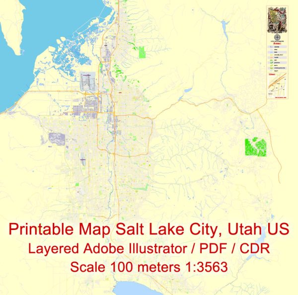
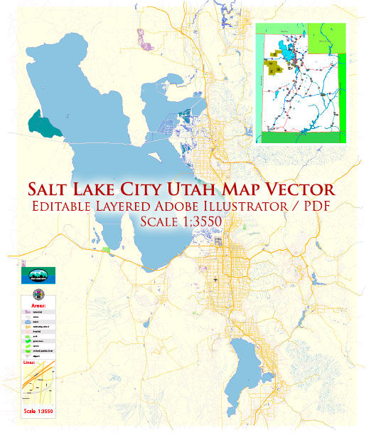
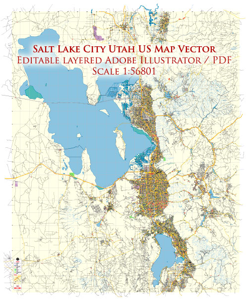
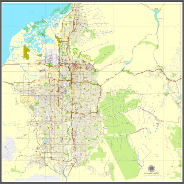
Salt Lake City, Utah, is situated in the north-central part of the state and is known for its stunning mountainous surroundings. While it doesn’t have major waterways like rivers running through the city, it does have some smaller streams and creeks. The primary water feature in the area is the Jordan River, which runs to the west of the city.
Jordan River: The Jordan River is a 51-mile-long river that flows from Utah Lake in the south to the Great Salt Lake in the north. While it doesn’t run directly through the heart of Salt Lake City, it is a significant watercourse in the region and contributes to the overall geography of the area.
Bridges: Salt Lake City has several bridges that span the Jordan River and other water features. One notable bridge is the 900 South Viaduct, which crosses the Jordan River and connects the western and eastern parts of the city. Another significant bridge is the North Temple Bridge, which spans the Jordan River near the International Peace Gardens.
Main Streets: Salt Lake City is known for its organized street grid system. The streets are numbered based on their distance from the city’s center, the Salt Lake Temple. The most significant streets include:
- Main Street: This is one of the primary north-south thoroughfares in the city and is home to many shops, restaurants, and businesses. The historic downtown area is centered around Main Street.
- State Street: Another major north-south street that runs through the city, State Street is known for its commercial and retail establishments.
- South Temple Street: Running east-west, South Temple is a prominent street known for its historic architecture and cultural institutions. The Salt Lake City and County Building and the Cathedral of the Madeleine are located along South Temple.
- 300 West and 300 East: These streets are part of the city’s grid system. 300 West and 300 East, along with other numbered streets, help navigate the city efficiently.
Vectormap.Net provide you with the most accurate and up-to-date vector maps in Adobe Illustrator, PDF and other formats, designed for editing and printing. Please read the vector map descriptions carefully.


 Author: Kirill Shrayber, Ph.D.