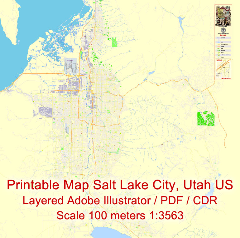
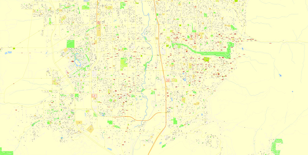
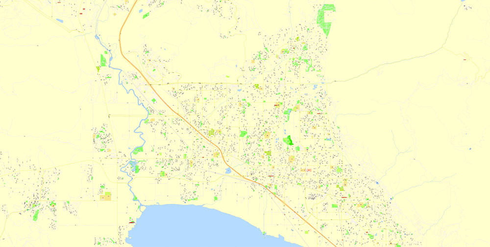
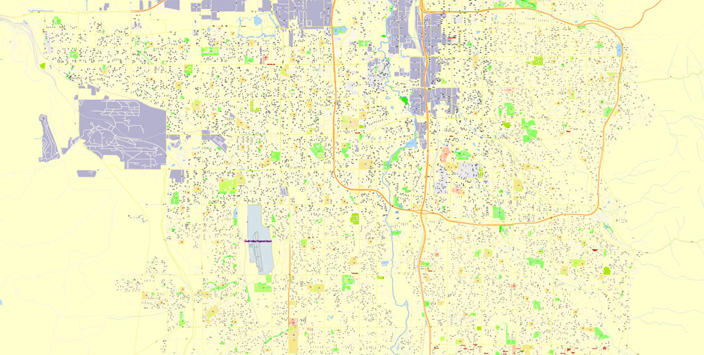
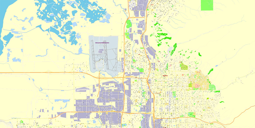
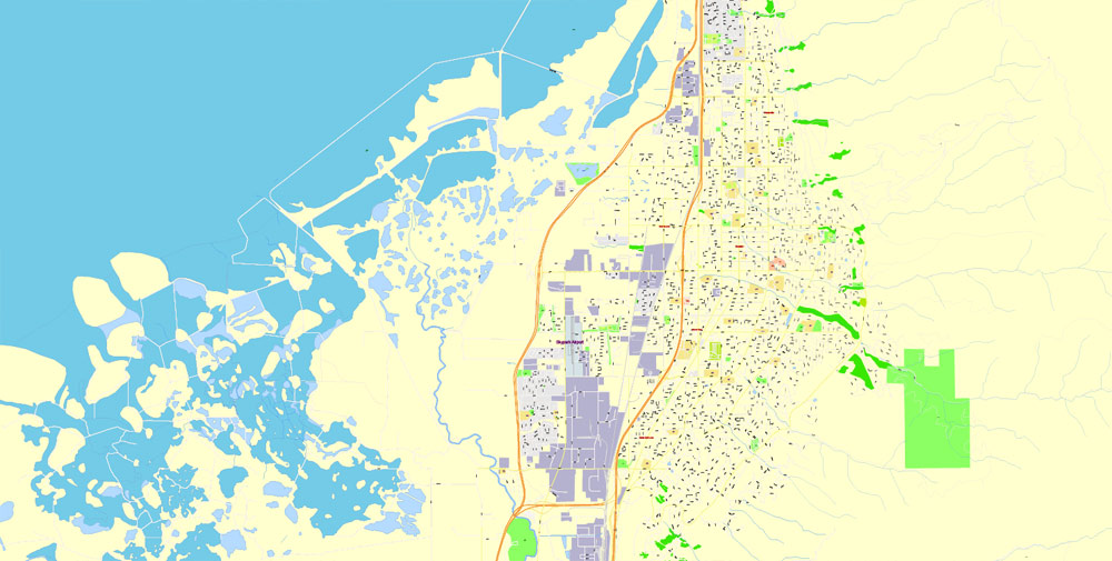
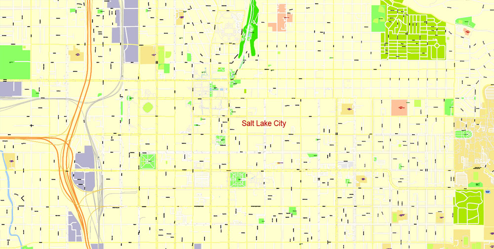
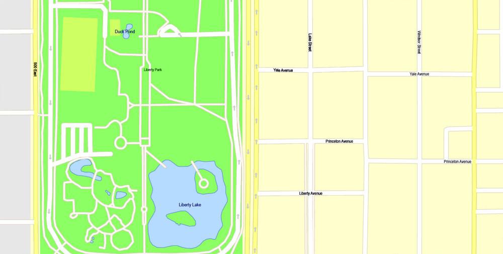
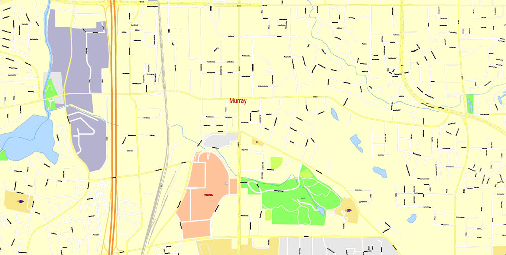
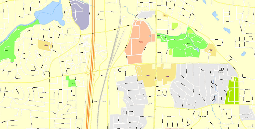
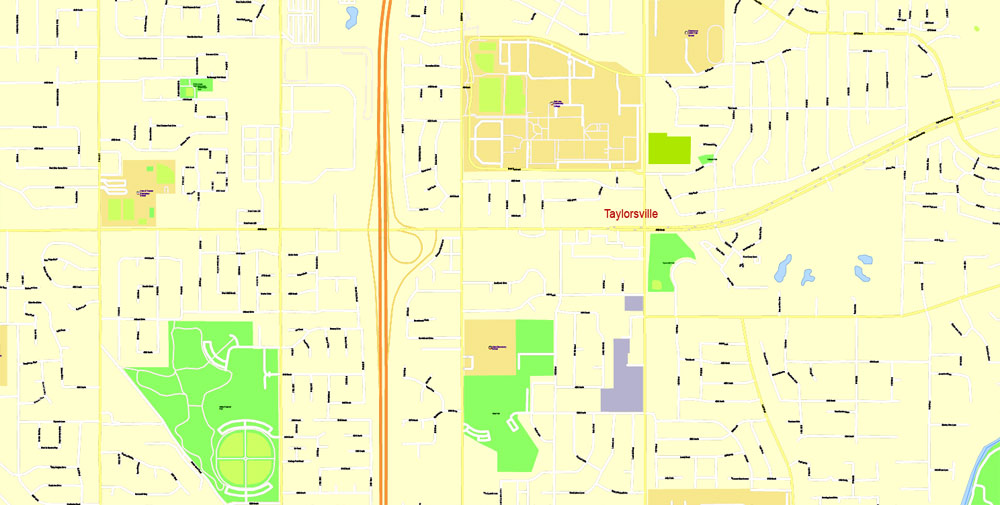
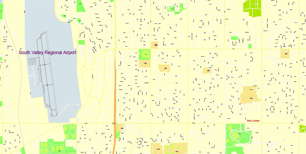
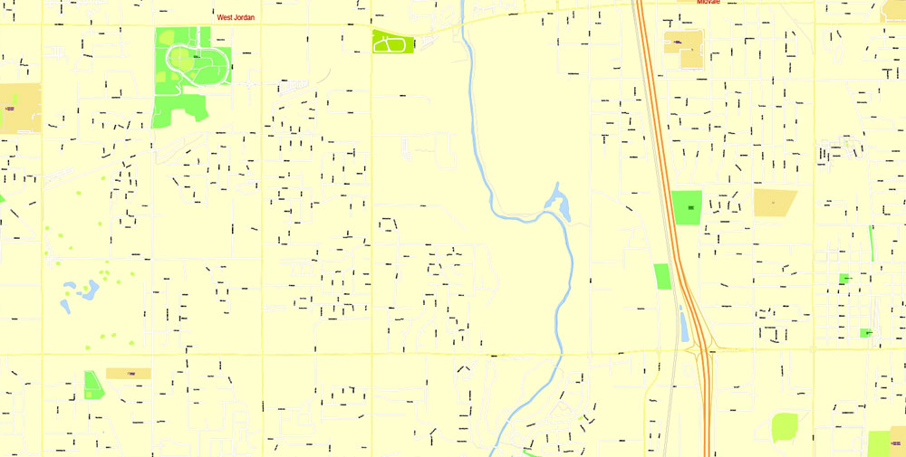
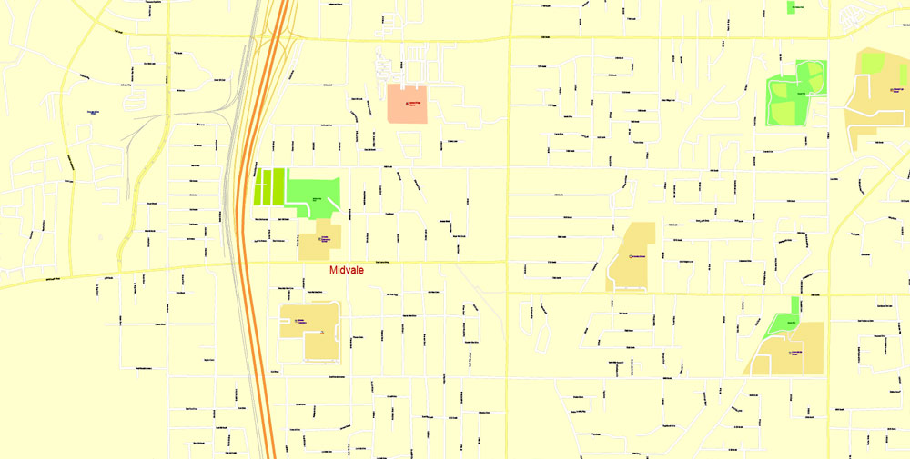
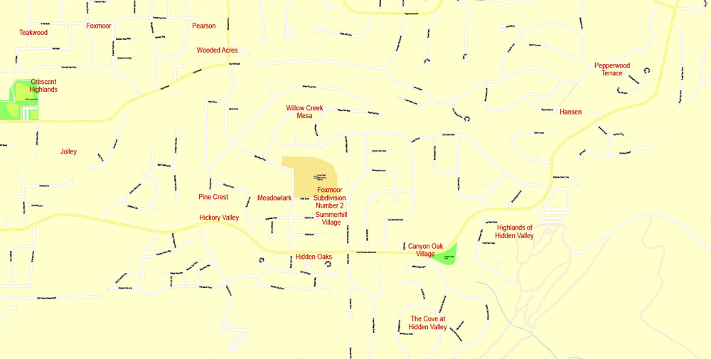
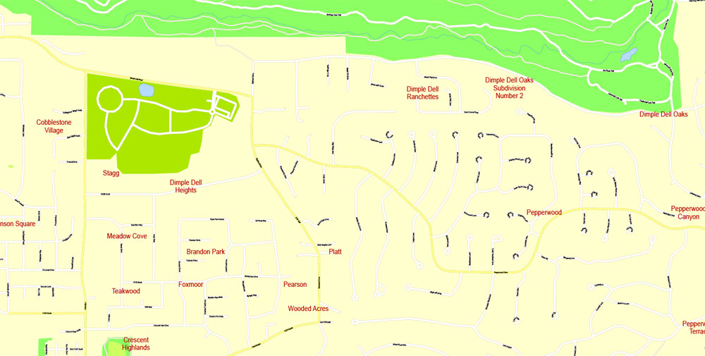
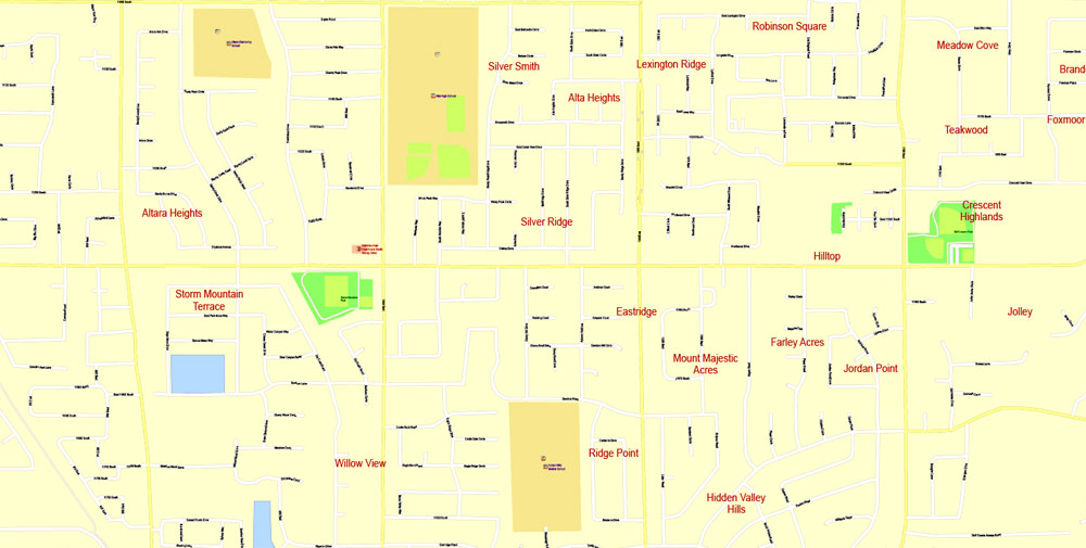
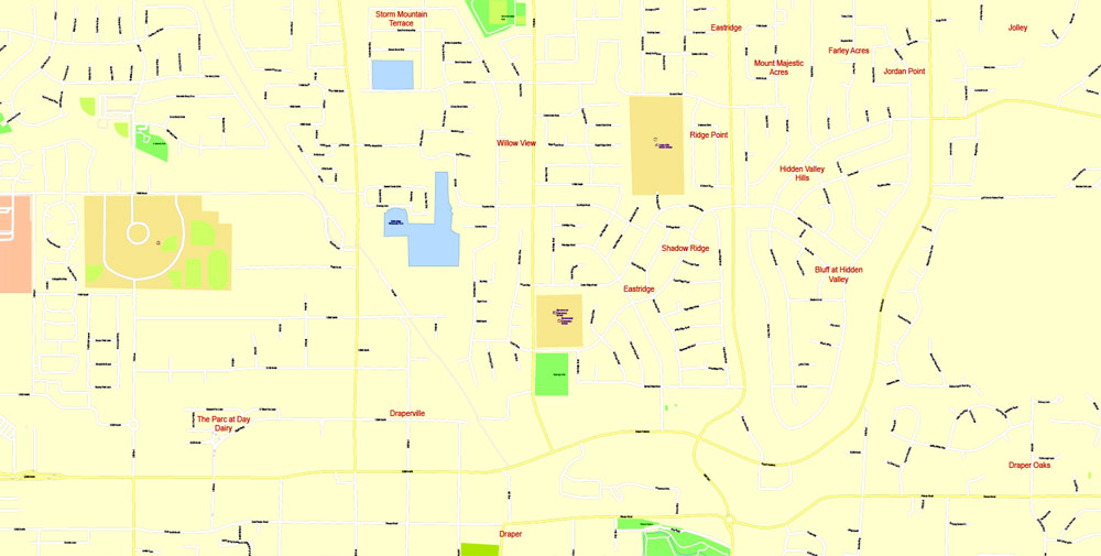
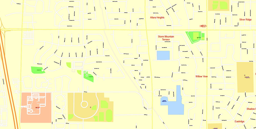
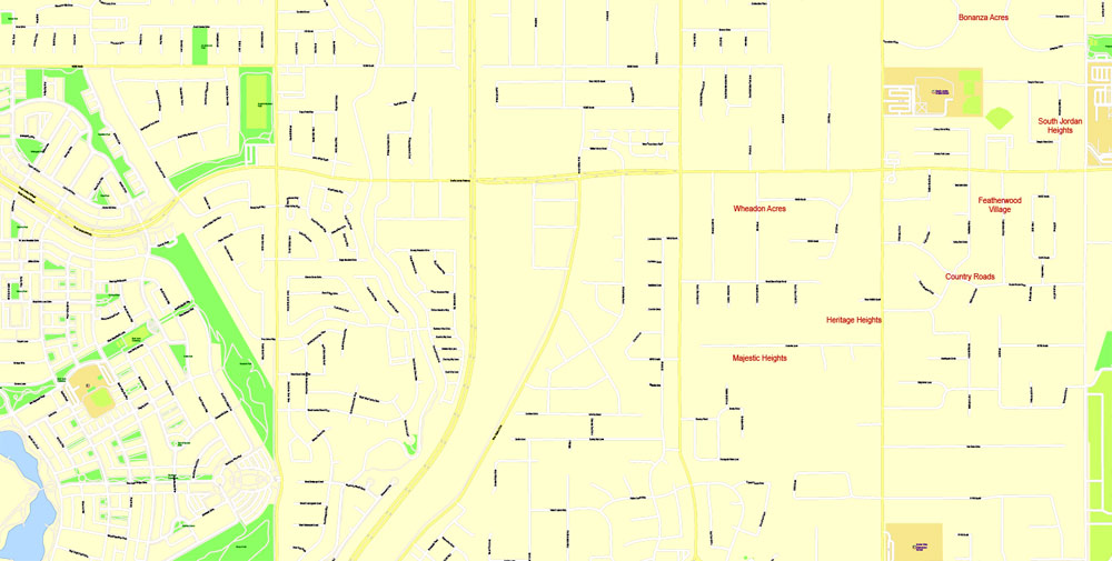
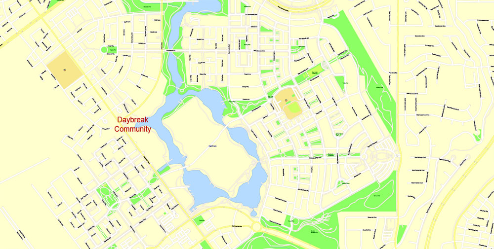
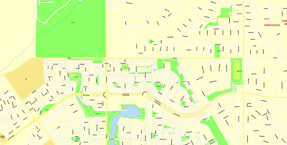
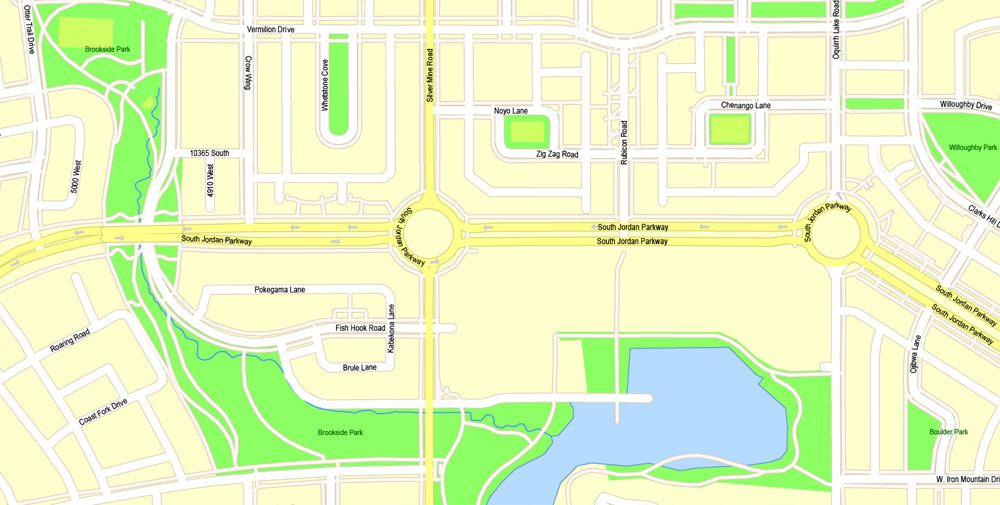
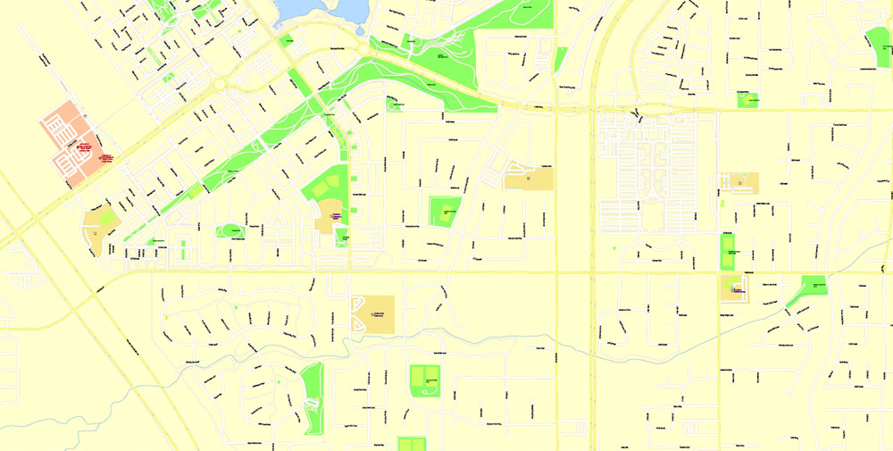
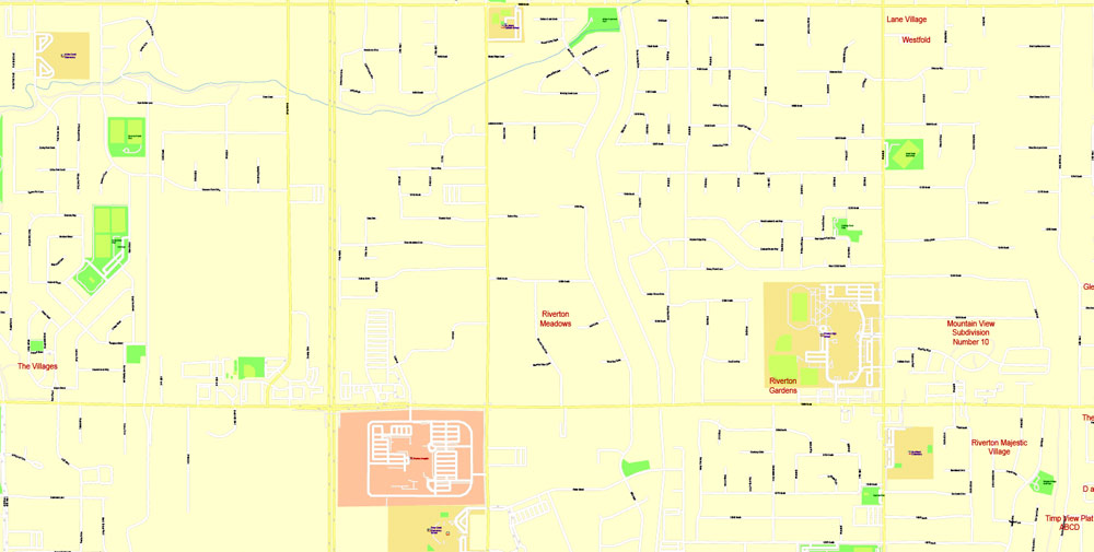
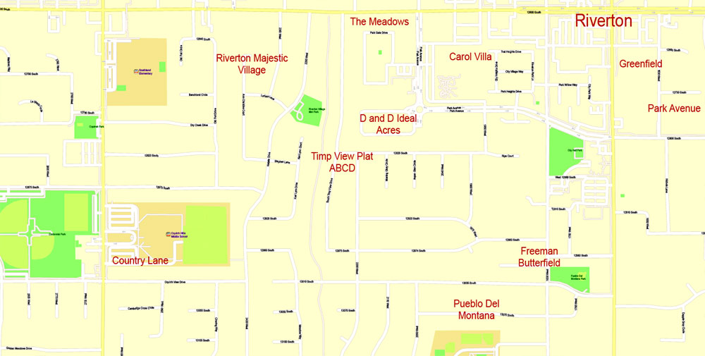
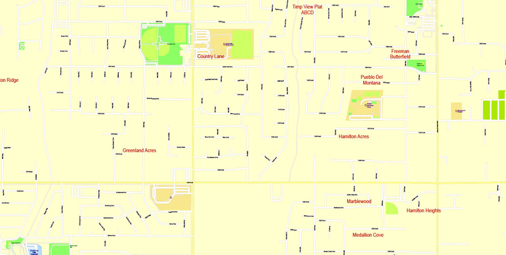
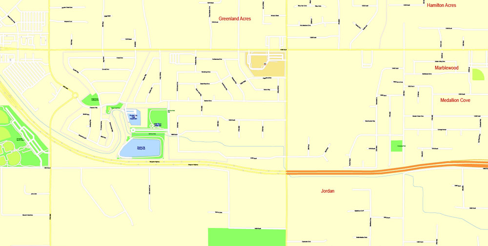
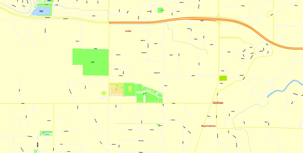
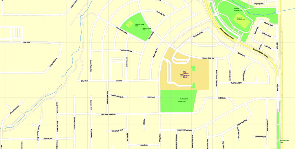
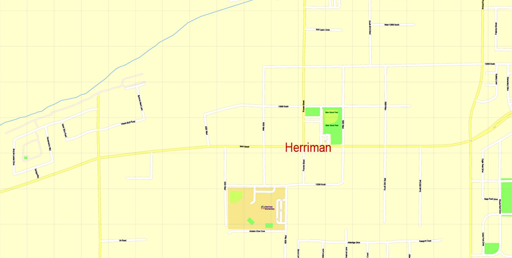
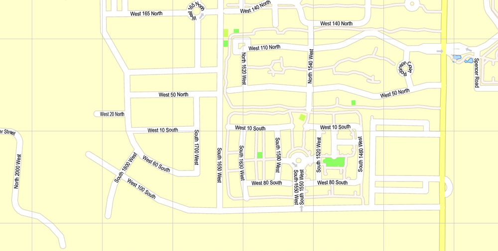
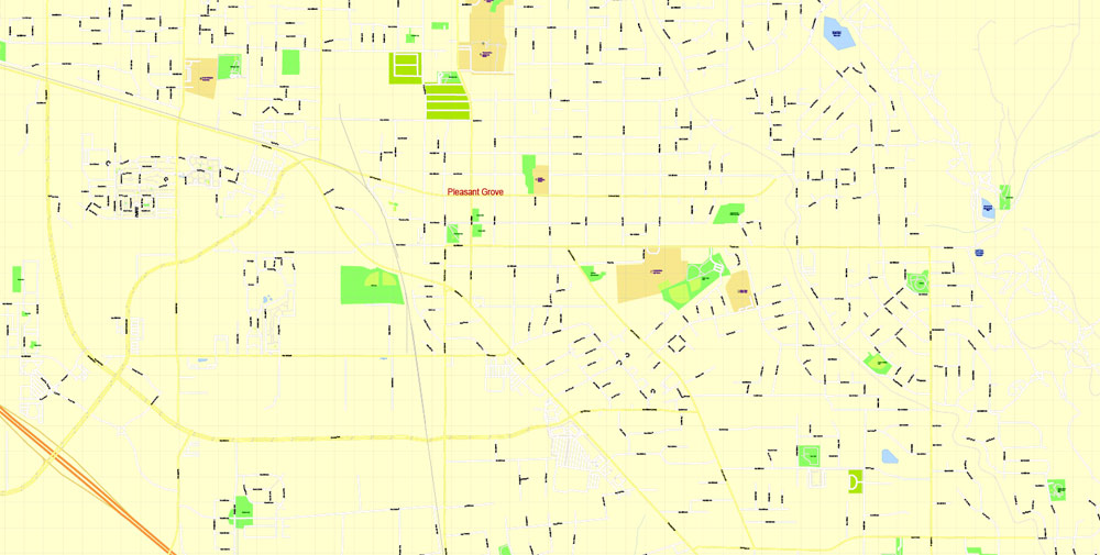
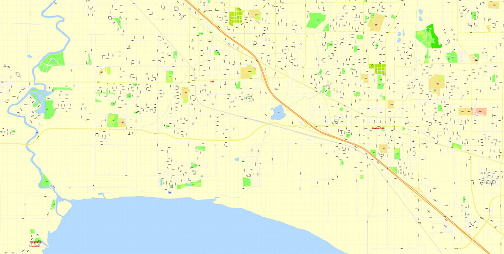
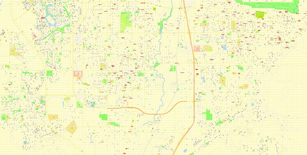
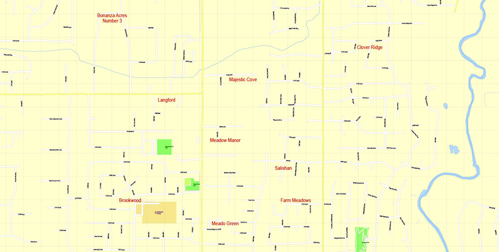
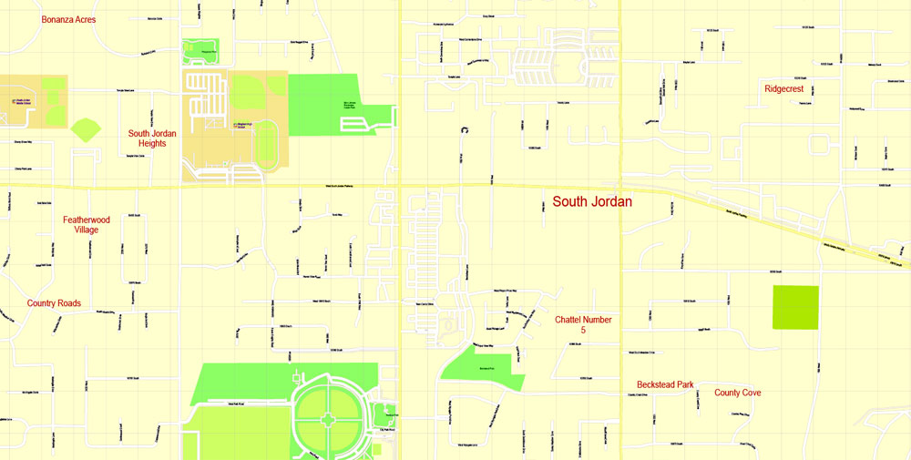
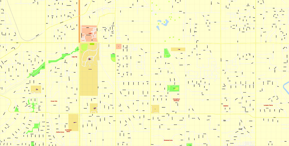
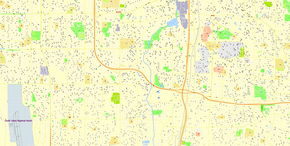
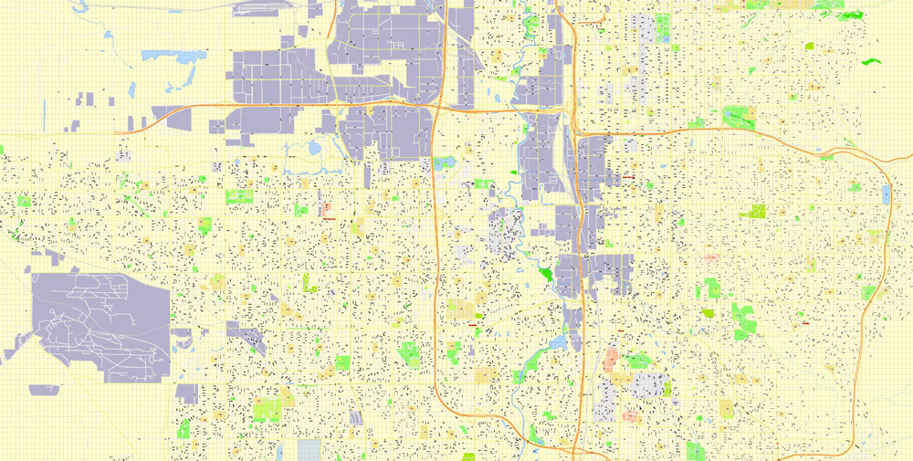
Editable CorelDraw Map Salt Lake City Metro area, Utah US, exact vector City Plan Map street G-View Level 17 (100 meters scale 1:3563) full editable vector CDR, scalable, editable text format street names, 41 mb ZIP
All streets named, Main Objects, NO buildings. Map for design, printing, arts, projects, presentations, for architects, designers and builders, business, logistics.
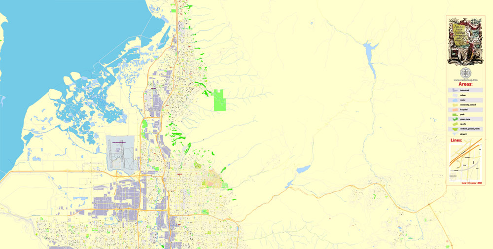
Layers: color fills, streets_roads, arrows_streets, labels_roads, objects, names_objects, names_streets, names_places, grids, legend.
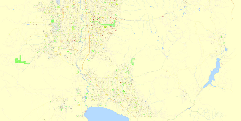
The most exact and detailed map of the city.
For print LARGE (WALL) format.
DWG, DXF and other formats – on request, same price, please, contact
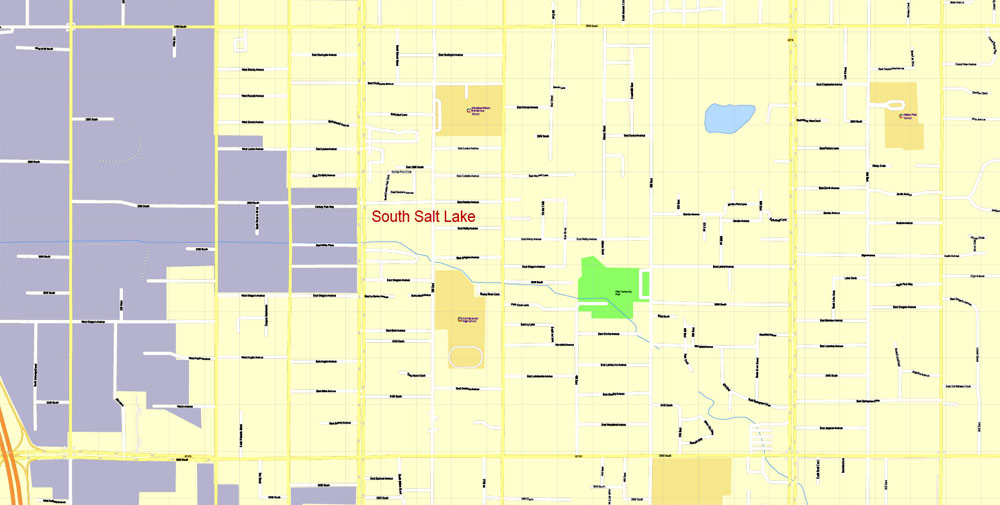
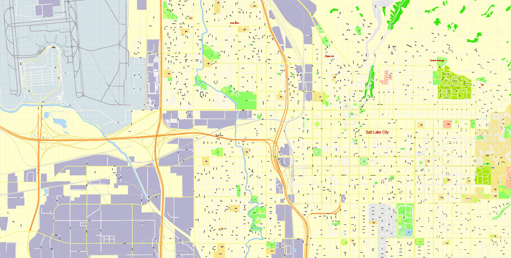
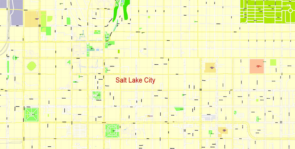
Salt Lake City, Utah, USA.
This vector map of Salt Lake is used as a basis for design, editing, and further printing.
This is the most detailed, exact map of Salt Lake for high-quality printing and polygraphy. You can always clarify the map development date by contacting us.
For your convenience, all objects on Salt Lake vector map are divided into layers. And the editing is very easy – colors, lines, etc.
You can easily add any objects needed (e.g. shops, salons, sale points, gas station or attraction) on any layer of Salt Lake vector map.
Salt Lake City is the capital and the most populous municipality of the U.S. state of Utah. With an estimated population of 190,884 in 2014, the city is the core of the Salt Lake City metropolitan area, which has a population of 1,153,340 (2014 estimate). Salt Lake City is further situated within a larger metropolis known as the Salt Lake City–Ogden–Provo Combined Statistical Area. This region is a corridor of contiguous urban and suburban development stretched along an approximately 120-mile (190 km) segment of the Wasatch Front, comprising a population of 2,423,912 as of 2014. It is one of only two major urban areas in the Great Basin (the other is Reno, Nevada).
One of the advantages of Salt Lake vector maps of our production is the relevance of cartographic data, we constantly update all our products.
This vector map of Salt Lake is used by:
designers, layout designers, printers, advertisers and architects. Our product – vector maps – is designed for further editing and printing in large formats – from @Wall format (a few meters) to A-0 and A-1, A-2, A-3.
The Salt Lake map in vector format is used for design, urban planning, presentations and media visualizations.
The advertising and presentation map of Salt Lake (usually the final designer marks the routes, and puts the client’s objects (shops, saloons, gas stations etc.)
The undoubted advantage is that people will NEVER throw out this advertising product – the map. In fact, as an advertising medium, a map is the most “long-playing” of the well-known polygraphic advertising media, with the longest lifespan, and the maximum number of interactions with the customer.
For travelers, maps are sold at the airports and gas stations around the world. Often the source is our vector maps.
Take a look, who purchases our vector maps of Salt Lake in “Our Clients and Friends” page – these are large and small companies, from super-brands like Volvo and Starbucks, to small design studios and printing houses.
It’s very easy to work with vector maps of Salt Lake city, even for a not very experienced designer who can turn on and off the map layers, add new objects, change the colors of fill and lines according to customer requirements.
The undoubted advantage of Salt Lake vector maps in printing is an excellent and detailed visualization, when customer can expand a large paper map and instantly define his location, find a landmark, an object or address on map, unlike using the popular electronic formats of Google and Yandex maps for example.
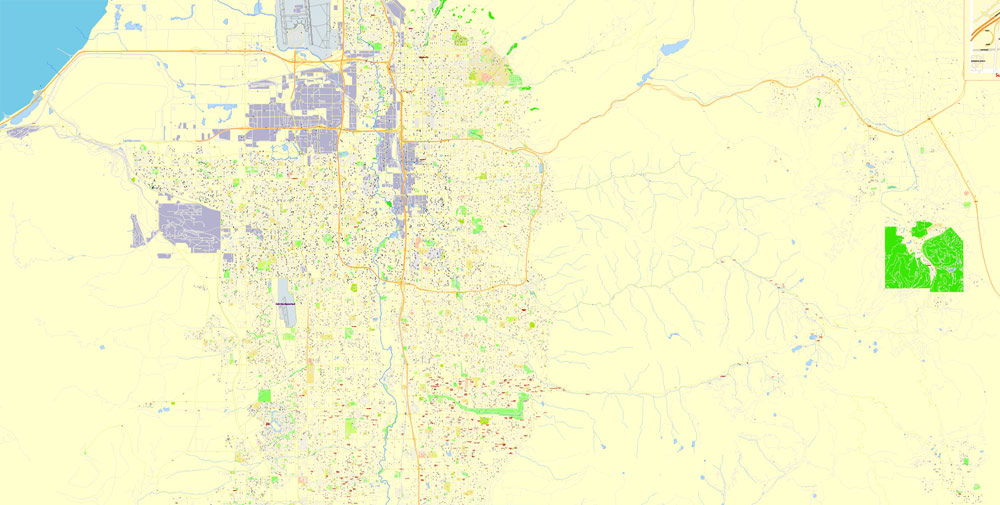
Printable vector maps of Salt Lake are much more convenient and efficient than any electronic maps on your smartphone, because ALL DETAILS are displayed in the entire space of Salt Lake map.
Useful tips on working with vector maps of cities and countries in Adobe Illustrator.
«V» – launches the Selection tool (cursor, black arrow), which makes active any vector line.
«А» – launches the Direct Selection tool (white cursor), allows you to select curve elements and drag them to the desired place.
«R» – activates the Rotate tool, which helps you rotating selected objects around the center point by 360 degrees.
«E» – gives you the opportunity to use the Eraser tool and erase unnecessary parts.
«X» – switches between Fill and Stroke in the Tools section. Try to get used to this hot key and
you will quickly understand that you can’t live and work without it.
The world headquarters of The Church of Jesus Christ of Latter-day Saints (LDS Church) is located in Salt Lake City. The city was originally founded in 1847 by Brigham Young, and other followers of the church, who were seeking to escape religious persecution in the mid-western United States. The Pioneers, as they would come to be known, at first encountered an arid, inhospitable valley that they then extensively irrigated and cultivated, thereby establishing the foundation to sustain the area’s large population of today. Salt Lake City’s street grid system is based on the north-south east-west grid plan developed by early church leaders, with the Salt Lake Temple constructed at the city’s center.
Guides are not limited to vertical and horizontal in Adobe Illustrator. You can also create a diagonal guide for example. Moreover, you can turn any contours into guides. Select the outline and go to View > Guides > Make Guides (Create Guides), or simply press Cmd/Ctrl + 5. You can also turn the guides back into an editable object. Go to menu, View > Guides > Unlock Guides (Release Guides), select the guide you want to edit and select View > Guides > Release Guides (Reset Guides), or just press Cmd/Ctrl + Option / Alt + 5).
You will probably want to change the color scheme used on our Salt Lake vector map.
To quickly and effectively play with colors.
Of course, you can do it manually, all objects in our Salt Lake vector map are divided according to types and layers, and you can easily change the color gamma of vector objects in groups and layers.
But there is more effective way of working with the whole VECTOR MAP of Salt Lake and all layers:
The overview dialog «Edit colors»/«Repaint Graphic Object» (this dialog box name can change depending on the context):
If you have selected a part or a layer of Salt Lake vector map and open the dialog box by clicking the icon in the Control panel, on the Samples palette or the Color Catalog, or if you choose Edit > Edit Colors> Repaint Graphic Object, then the «Repaint Graphic Object» dialog box appears, and you get access to «Assign» and «Edit» tabs.
If a picture or a map fragment is not selected, and you open the dialog box by clicking the icon in the Control panel, on the Samples palette or in the Color Catalog, the «Edit Colors» dialog box appears and you can only access the «Edit» tab.
Regardless of the name at the top of the dialog box, the right-hand side always displays the color group of the current document, as well as two default color groups: Print Color and Grayscale. These color groups can be selected and used any time.
Create and edit color groups of Salt Lake vector map, and also assign colors using the «Edit Colors»/ а «Repaint Graphic Object» dialog box.
A. Creating and editing of a color group on the «Edit» tab
B. Assigning colors on the «Assign» tab
C. Select a group of colors from the «Color groups» list
The option «Repaint a graphic object» in the lower part of the dialog box allows you to preview the colors on a selected layer of Vector map, or a group of elements, and specify whether its colors will be redefined when the dialog box is closed.
The main areas of the dialog box are:
«Edit»
The «Edit» tab is designed to create a new or edit the existing color groups.
The harmony rules Menu and the Color Wheel are used to conduct experiments with color harmonies. The color wheel shows how colors are related in color harmony, and the color bars allow you to view and manipulate an individual color values. In addition, you can adjust the brightness, add and remove colors, save color groups and view colors on the selected Vector Map of Salt Lake or a separated layers.
«Assign»
The «Assign» tab is used to view and control on how the original colors are replaced with colors from the color group like your corporate colors in the Vector Map of Salt Lake city.
The assign color ability is provided only if the entire map, layer or fragment is selected in the document. You can specify which of new colors replace the current colors, whether the spot colors should be preserved and how colors are replaced (for example, you can replace colors completely or changing the color tone while maintaining the brightness). The «Assign» tab allows you to redefine colors in the Vector Map of Salt Lake city, or in separate layers and fragments using the current color group or reducing the number of colors in the current Vector Map.
Color groups
Is a list of all saved color groups for current document (the same groups appear in the «Samples» palette). You can edit and delete the existing color groups, as well as creating a new ones using the list of “Color Groups” in the dialog box. All changes appear in the «Samples» palette.
The highlighted color group shows, which color group is currently edited.
Any color group can be selected and edited, or used to redefine the colors in the selected vector map of Salt Lake city, its fragments or elements.
Saving a color group adds this group to the specified list.
Opening the «Edit Colors»/«Repaint Graphic Object» dialog box.
Open the «Edit Colors»/«Repaint Graphic Object» dialog box using one of the following methods:
«Edit»> «Edit Colors»> «Repaint Graphic object» or «Repaint With Style».
Use these commands if you need to edit the colors in the selected vector map of Salt Lake city.
«Repaint Graphic object» button on the «Control» panel.
Use this button if you need to adjust colors of Salt Lake vector map using the а «Repaint graphic object» dialog box.
The specified button is available if the selected vector map or its fragment contains two or more colors.
Note. This color editing method is convenient for global color adjustment in a vector map, if global colors were not used when creating a Map of Salt Lake City.
The «Edit colors» button or «Edit or apply colors» on the «Color Catalog» palette
Click this button if you need to edit colors on the «Color Catalog» palette or edit and then apply them to the selected Vector Map of Salt Lake or its fragment.
The «Edit color group» button or «Edit or apply color group» on the «Samples» palette.
Click this button if you need to edit the colors in the specific color group or edit and apply them to the selected Vector Map of Salt Lake or a group of its elements, for example, the whole layer “Streets and lines”. You can also double-click the color group in the Samples panel to open the dialog box.
If the map file is too large and your computer freezes or even can’t open it quickly:
1. Try to reduce the color resolution of the video card (display) to 256 colors while working with a large map.
2. Using Windows Task Manager, select all the application you don’t need, while working with map, just turn them off.
3. Launch Adobe Illustrator. (DO NOT OPEN the vector map file)
4. Start the Windows Task Manager using administrator rights > Find the “Illustrator” process > set the «real time» priority,
5. Open the file. When you see the LEGACY FONT popup window – click “OK” (do not update). You can restore the TEXT later.
6. Can also be useful: When file is opened – Edit > Settings > Basic Settings > disable smoothing. /// It looks scary, but works quickly)))
We recommend saving the file in Adobe Illustrator 10 version. It’s much more stable when working with VERY BIG size files.
Due to its proximity to the Great Salt Lake, the city was originally named “Great Salt Lake City”; however, the word “great” was dropped from the official name in 1868 by the 17th Utah Territorial Legislature.
Immigration of international members of the church, mining booms, and the construction of the first transcontinental railroad initially brought economic growth, and the city was nicknamed the Crossroads of the West. It was traversed by the Lincoln Highway, the first transcontinental highway, in 1913. Two major cross-country freeways, I-15 and I-80, now intersect in the city. Salt Lake City has developed a strong outdoor recreation tourist industry based primarily on skiing, and hosted the 2002 Winter Olympics. It is the industrial banking center of the United States.
Geography
Salt Lake City has an area of 110.4 square miles (286 km2) and an average elevation of 4,327 feet (1,319 m) above sea level. The lowest point within the boundaries of the city is 4,210 feet (1,280 m) near the Jordan River and the Great Salt Lake, and the highest is Grandview Peak, at 9,410 feet (2,868 m).
The city is in the northeast corner of the Salt Lake Valley surrounded by the Great Salt Lake to the northwest and the steep Wasatch and Oquirrh mountain ranges on the eastern and southwestern borders, respectively. Its encircling mountains contain several narrow glacial and stream carved canyons. Among these canyons, City Creek, Emigration, Millcreek, and Parley’s border the eastern city limits.
The burgeoning population of Salt Lake City and the surrounding metropolitan area, combined with its geographical situation, has led to air quality becoming a top concern for the populace. The Wasatch Front is subject to strong temperature inversions during the winter, which trap pollutants and lower air quality. The Utah Division of Air Quality closely monitors air quality and issues alerts for voluntary and mandatory actions when pollution exceeds federal safety standards. Protests have been held at the Utah State Capitol and Democratic lawmakers have introduced legislation in the Utah State Legislature to make public transportation free during January and July, when air quality is usually at its worst. The population of the Salt Lake City metropolitan area is projected to double by 2040, putting further pressure on the region’s air quality.
The Great Salt Lake is separated from Salt Lake City by extensive marshlands and mudflats. The metabolic activities of bacteria in the lake result in a phenomenon known as “lake stink”, a scent reminiscent of foul poultry eggs, two to three times per year for a few hours. The Jordan River flows through the city and is a drainage of Utah Lake that empties into the Great Salt Lake.
The highest mountaintop visible from Salt Lake City is Twin Peaks, which reaches 11,330 feet (3,450 m). Twin Peaks is southeast of Salt Lake City in the Wasatch Range. The Wasatch Fault is found along the western base of the Wasatch and is considered at high risk of producing an earthquake as large as 7.5. Catastrophic damage is predicted in the event of an earthquake with major damage resulting from the liquefaction of the clay- and sand-based soil and the possible permanent flooding of portions of the city by the Great Salt Lake.
The second-highest mountain range is the Oquirrhs, reaching a maximum height of 10,620 feet (3,237 m) at Flat Top. The Traverse Mountains to the south extend to 6,000 feet (1,830 m), nearly connecting the Wasatch and Oquirrh Mountains. The mountains near Salt Lake City are easily visible from the city and have sharp vertical relief caused by ancient earthquakes, with a maximum difference of 7,099 feet (2164 m) being achieved with the rise of Twin Peaks from the Salt Lake Valley floor.
The Salt Lake Valley floor is the ancient lakebed of Lake Bonneville which existed at the end of the last Ice Age. Several Lake Bonneville shorelines can be distinctly seen on the foothills or benches of nearby mountains.
Salt Lake City
City in Utah
Salt Lake City, Utah’s high-elevation capital, is bordered by the buoyant waters of the Great Salt Lake and the snow-capped peaks of the Wasatch Range. Downtown’s 10-acre Temple Square, headquarters of the Mormon Church, is home to the majestic, 19th-century Salt Lake Temple and the neo-Gothic Assembly Hall. The acclaimed Mormon Tabernacle Choir performs in the square’s domed Tabernacle.
Elevation 1,288 m (4,226 ft)
Population
• City 186,440
• Estimate 192,672
• Rank US: 124th
• Density 647.9/km2 (1,678.0/sq mi)
• Urban 1,021,243 (US: 42nd)
• Metro 1,153,340 (US: 48th)
• CSA 2,467,709 (US: 23rd)
Free US vector maps

Free Download Vector Map US County and State Adobe Illustrator
Free_Vector_Map_US_States_County_Map.ai
Free Download Vector Map US County and State Adobe PDF
Free_Vector_Map_US_States_County_Map.pdf

Free Download Vector Map US With States Names, Adobe Illustrator
Free_Map_of_USA_with_state_names_en.ai
Free Download Vector Map US With States Names, Adobe PDF
Free_Map_of_USA_with_state_names_en.pdf
From WIKI
Free vector map World, Adobe Illustrator, download now maps vector clipart
Map for design, projects, presentation free to use as you like.
See also: TERMS & CONDITIONS: SOFTWARE LICENSE AGREEMENT FOR DIGITAL CARTOGRAPHIC DATA.
Need more USA Vector Maps, printable and editable?

 Author: Kirill Shrayber, Ph.D. FRGS
 full editable, Adobe Illustrator")

