Extended Description of the Vector Map
Printable PDF Vector Map Rovaniemi Finland, exact Low detailed City Plan, Scale 1:29966, editable Layered Adobe PDF Street Map, 3 Mb ZIP.
Main streets names, Buildings. Map for publishing, design, printing, publications, arts, projects, presentations, for architects, designers and builders, business, logistics. The most exact and detailed map of the city.
Layers: legend, grids, labels_roads, names_places, names_streets, buildings, streets_roads, color_fills, etc.
Text format all names, for High Quality Printing
DWG, DXF, CDR, ESRI Shapes, and other formats – by request, same price, please contact.
Rovaniemi
City in Finland
Rovaniemi is the capital of Lapland, in northern Finland. Almost totally destroyed during World War II, today it’s a modern city known for being the “official” home town of Santa Claus, and for viewing the Northern Lights. It’s home to Arktikum, a museum and science center exploring the Arctic region and the history of Finnish Lapland. The Science Centre Pilke features interactive exhibits on northern forests.
Area
• Total 8,016.75 km2 (3,095.28 sq mi)
• Land 7,581.97 km2 (2,927.41 sq mi)
• Water 434.75 km2 (167.86 sq mi)
Area rank 5th largest in Finland
Population
• Total 62,037
• Rank 16th largest in Finland
• Density 8.18/km2 (21.2/sq mi)
Population by native language
• Finnish 97.6%
• Swedish 0.1%
• Sami 0.2%
• Others 2.1%
Population by age
• 0 to 14 17.1%
• 15 to 64 68.1%
• 65 or older 14.8%
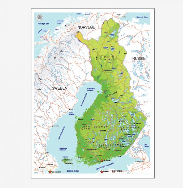
See Also: Full Vector Map Finland
Free vector maps:

Free download printable map Europe vector Adobe Illustrator >>>
Free download printable PDF map Europe vector Adobe PDF >>>


 Author: Kirill Shrayber, Ph.D. FRGS