Extended Description of the Vector Map
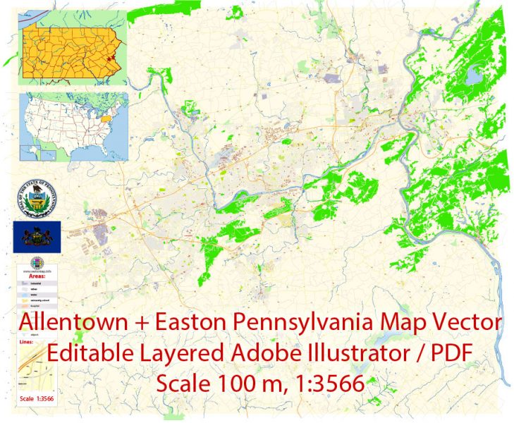
Printable Vector Map of Allentown and Easton Pennsylvania US detailed City Plan scale 100 m 1:3566 full editable Adobe Illustrator Street Map in layers, scalable, text format all names, 20 MB ZIP
All street names, Main Objects, Principal Buildings. Map for design, printing, arts, projects, presentations, for architects, designers, and builders, business, logistics.
Layers: color_fills, water, streets_roads, labels_roads, names_objects, names_streets, names_places, arrows_streets, buildings, grids, legend, etc.
The most exact and detailed map of the city in scale.
For Editing and High-Quality Printing
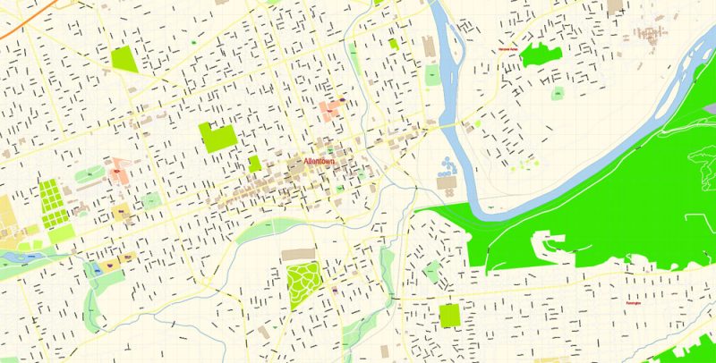
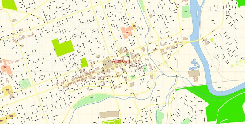
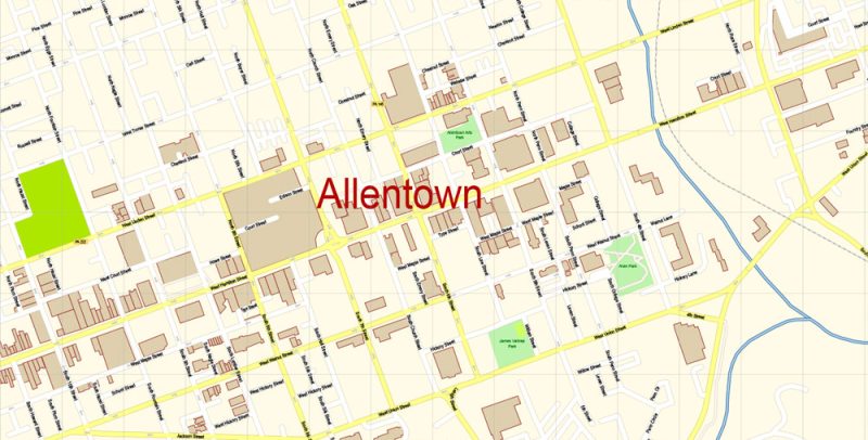
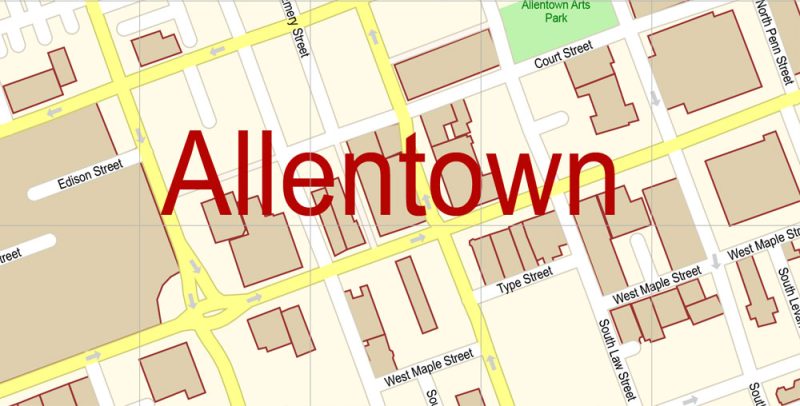
Allentown
City in Pennsylvania
Allentown is a city in eastern Pennsylvania. The Liberty Bell Museum houses a full-size replica of the iconic bell, plus a mural about its history. Nearby, the Allentown Art Museum’s collections include Renaissance and modern American works. On the Lehigh River, the America On Wheels Museum showcases vintage vehicles. East of the river, Coca-Cola Park is home to the IronPigs Minor League Baseball team.
Population: 121,283
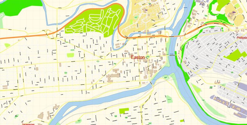
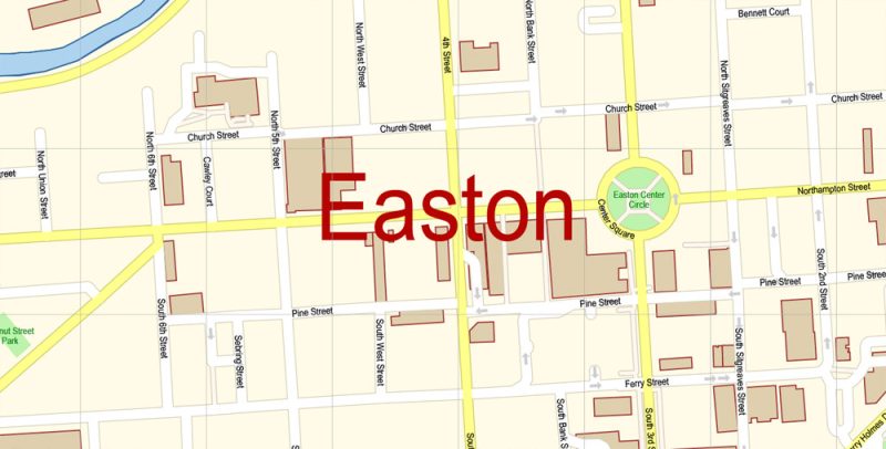
Easton
City in Pennsylvania
Easton is a city in and the county seat of Northampton County, Pennsylvania, United States. The city’s population was 26,800 as of the 2010 census. Easton is located at the confluence of the Delaware River and the Lehigh River, roughly 55 miles north of Philadelphia and 70 miles west of New York City. Wikipedia
Population: 27,109
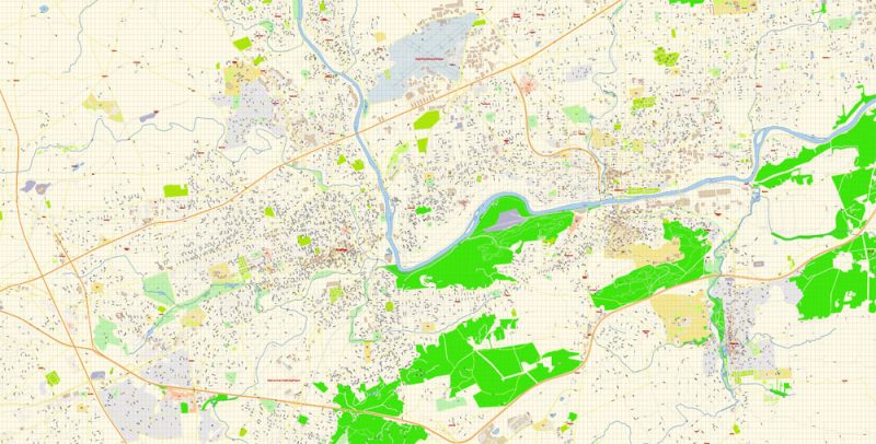
Allentown and Easton Pennsylvania Map Vector Exact City Plan detailed Street Map editable Adobe Illustrator in layers
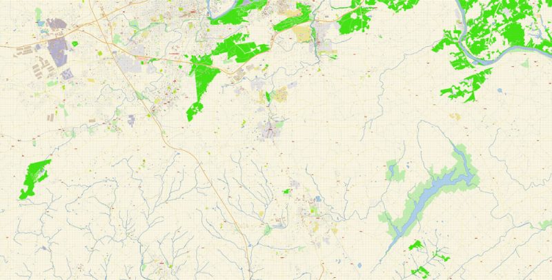
Allentown and Easton Pennsylvania Map Vector Exact City Plan detailed Street Map editable Adobe Illustrator in layers
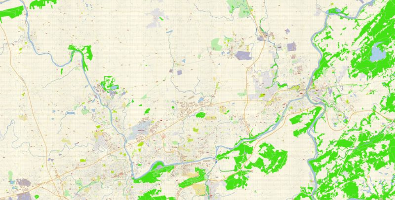
Allentown and Easton Pennsylvania Map Vector Exact City Plan detailed Street Map editable Adobe Illustrator in layers
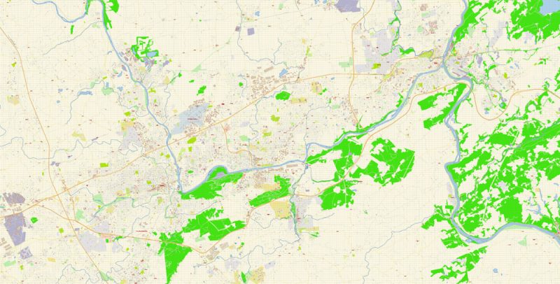
Allentown and Easton Pennsylvania Map Vector Exact City Plan detailed Street Map editable Adobe Illustrator in layers
Allentown and Easton Pennsylvania Map Vector Exact City Plan detailed Street Map editable Adobe Illustrator in layers
Allentown and Easton Pennsylvania Map Vector Exact City Plan detailed Street Map editable Adobe Illustrator in layers
Allentown and Easton Pennsylvania Map Vector Exact City Plan detailed Street Map editable Adobe Illustrator in layers
Allentown and Easton Pennsylvania Map Vector Exact City Plan detailed Street Map editable Adobe Illustrator in layers
Allentown and Easton Pennsylvania Map Vector Exact City Plan detailed Street Map editable Adobe Illustrator in layers
Allentown and Easton Pennsylvania Map Vector Exact City Plan detailed Street Map editable Adobe Illustrator in layers
Allentown and Easton Pennsylvania Map Vector Exact City Plan detailed Street Map editable Adobe Illustrator in layers


 Author: Kirill Shrayber, Ph.D. FRGS


