Extended Description of the Vector Map
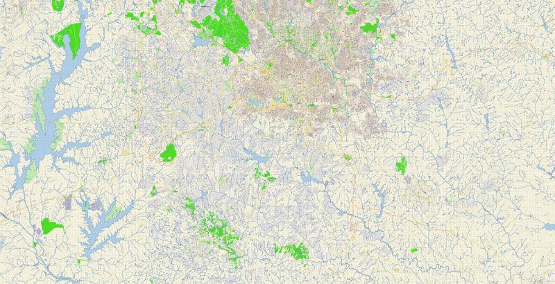
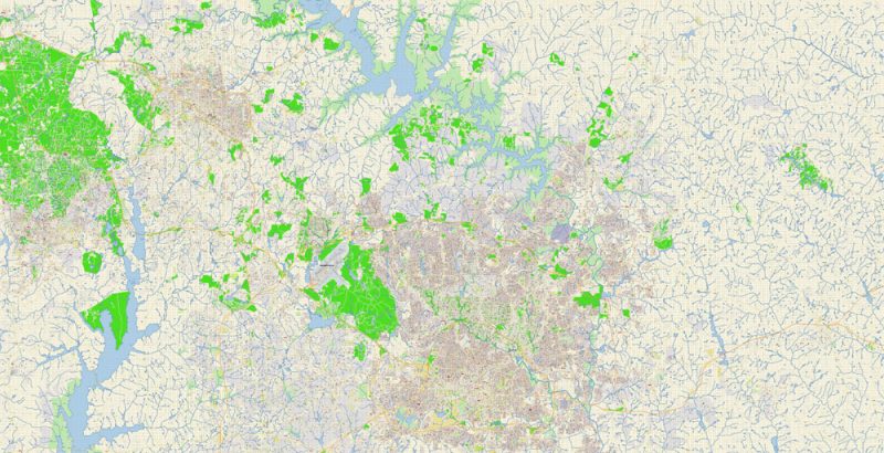
Printable Vector Map of Raleigh + Cary + Durham North Carolina US detailed City Plan scale 100 m 1:3809 full editable Adobe Illustrator Street Map in layers, scalable, text format all names, 74 MB ZIP
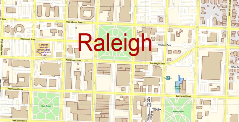
All street names, Main Objects, Buildings. Map for design, printing, arts, projects, presentations, for architects, designers, and builders, business, logistics.
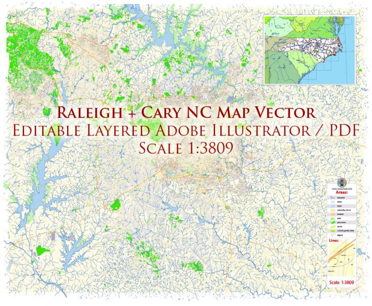
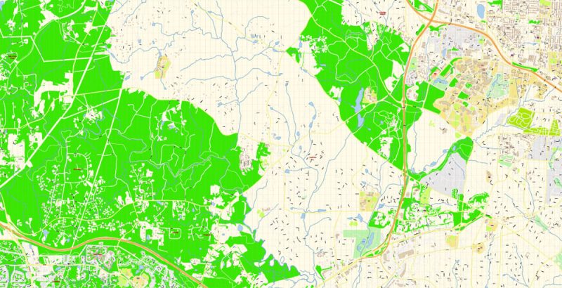
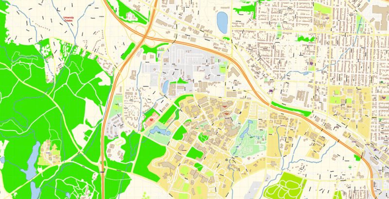
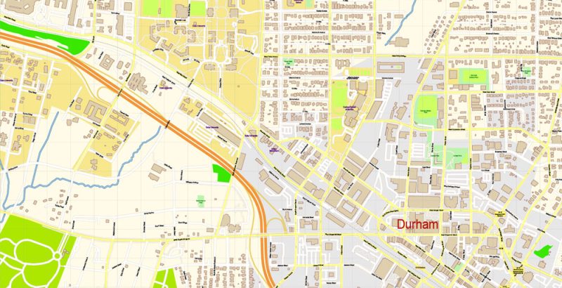
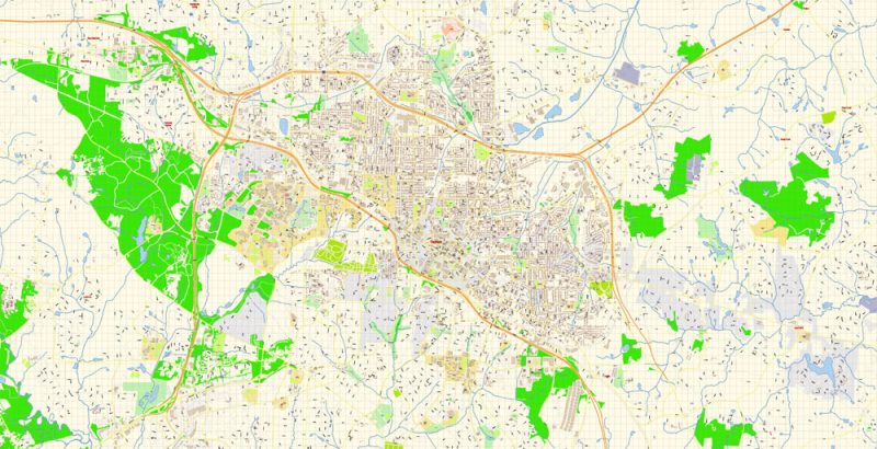
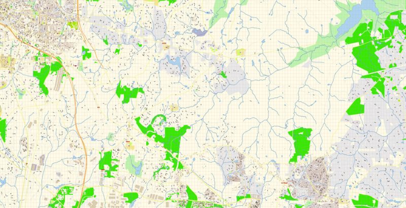
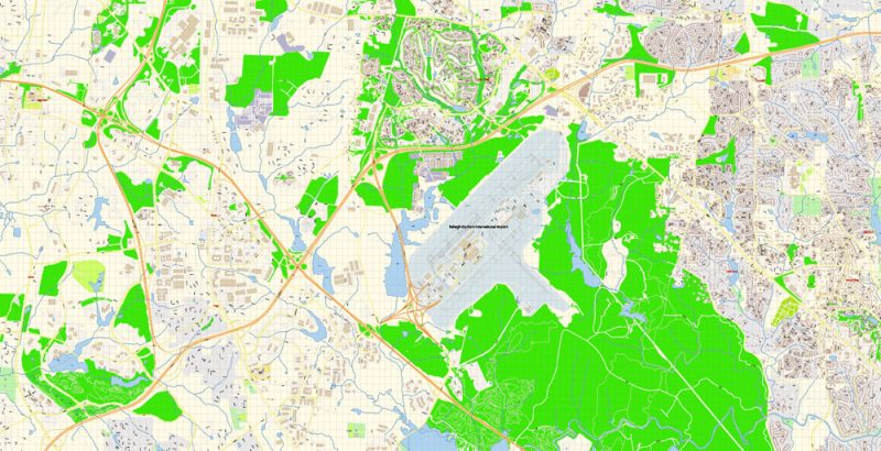
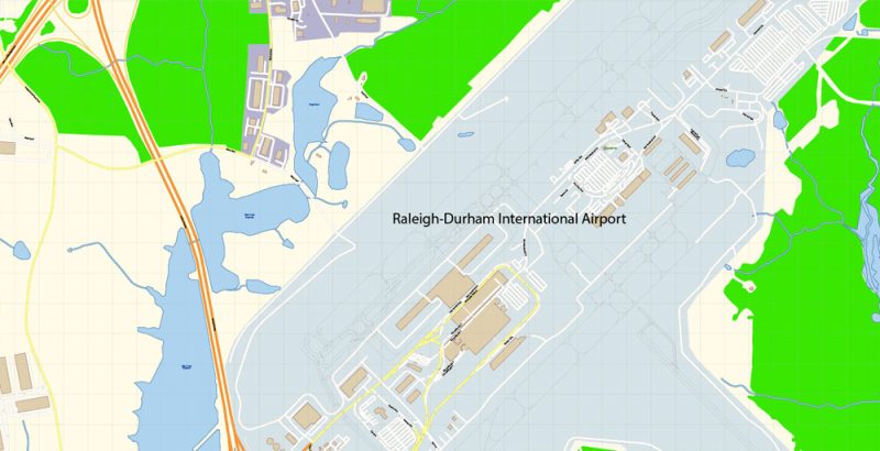
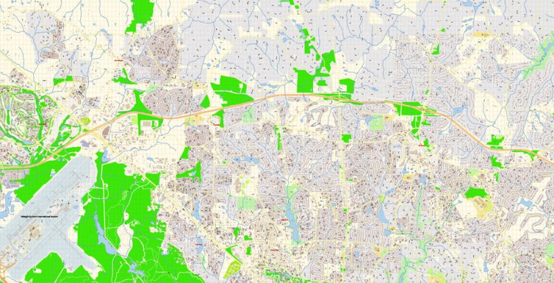
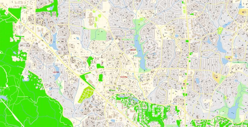
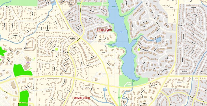
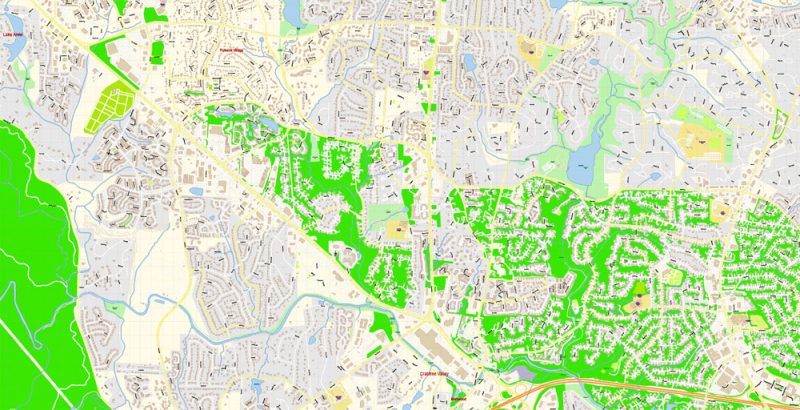
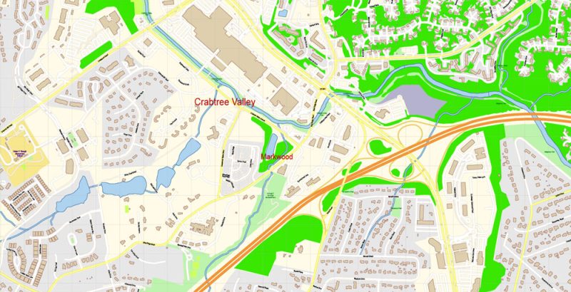
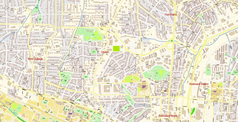
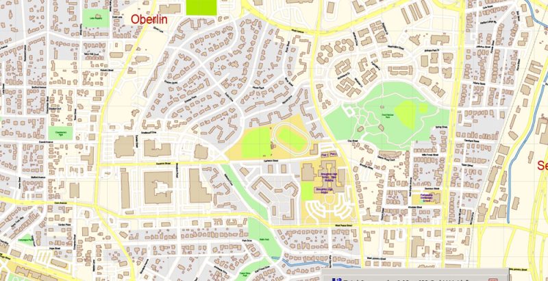
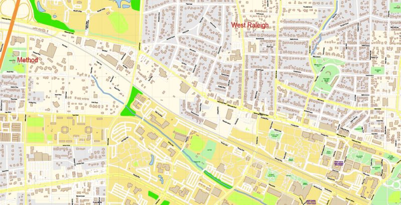
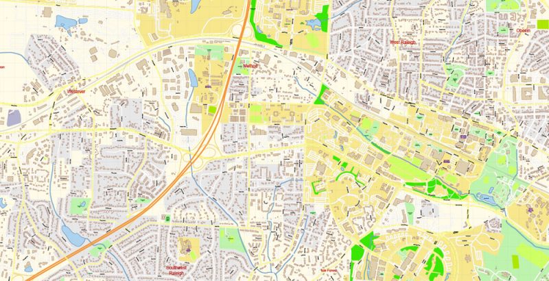
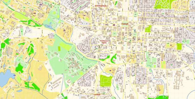
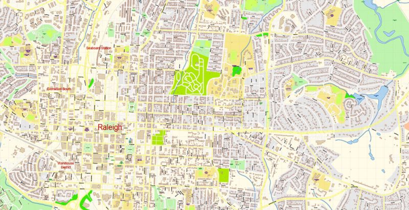
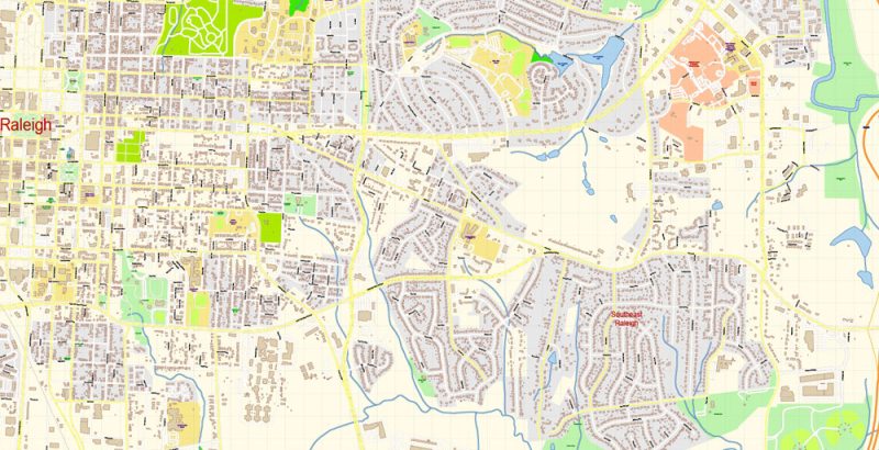
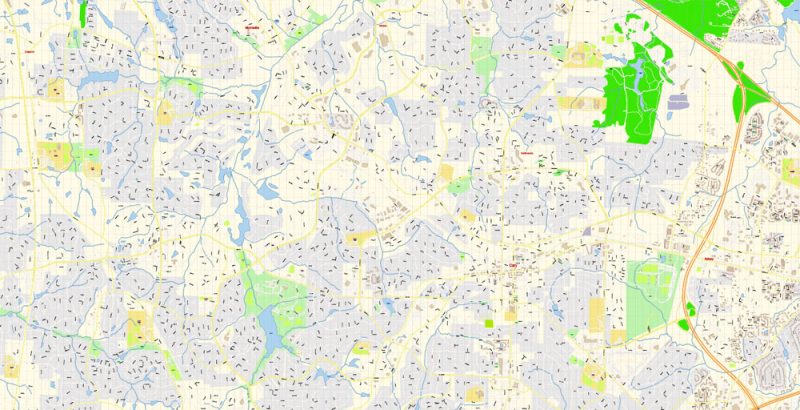
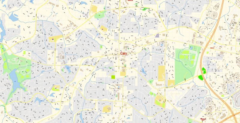
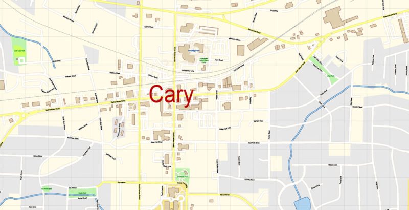
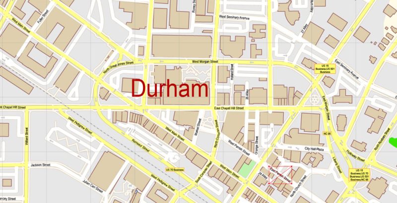
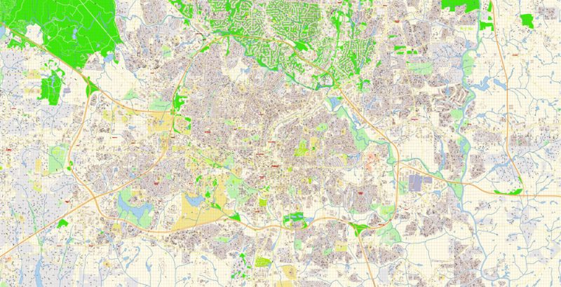
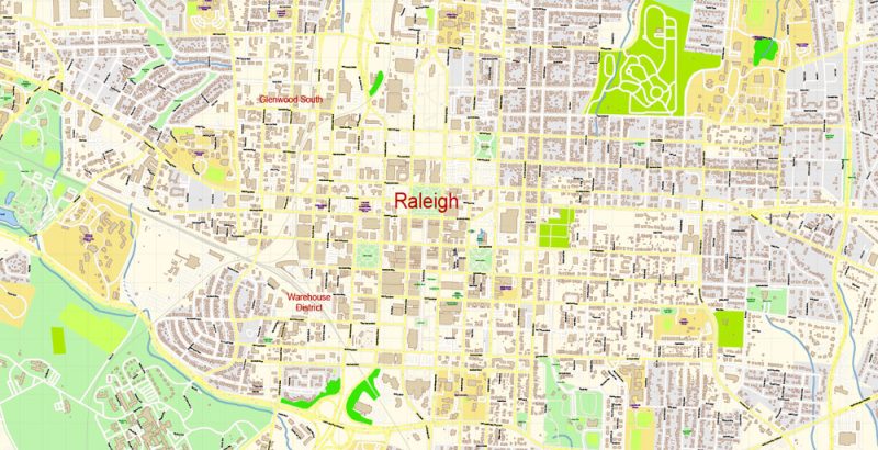
Raleigh + Cary + Durham North Carolina US Map Vector Exact City Plan High Detailed Street Map editable Adobe Illustrator in layers
Layers list:
- Legend
- Grids
- Labels of roads
- Names of places (city, hamlet, etc.)
- Names of objects (hospitals, schools, parks)
- Names of streets
- Objects (icons)
- Arrows of streets
- Streets, roads, railroads, lines
- Buildings
- Water objects (rivers, lakes)
- Color fills (parks, hospital areas, school areas, etc.)
- Background
The most exact and detailed map of the city in scale.
IF YOU NEED: We can add the layer areas and numbers zip (postal) codes. Free for you.
ALSO: DWG, DXF, CDR and other formats: free convert for our customers.
For Editing and High-Quality Printing
Raleigh + Cary + Durham North Carolina US Map Vector Exact City Plan High Detailed Street Map editable Adobe Illustrator in layers
Raleigh + Cary + Durham North Carolina US Map Vector Exact City Plan High Detailed Street Map editable Adobe Illustrator in layers
Raleigh + Cary + Durham North Carolina US Map Vector Exact City Plan High Detailed Street Map editable Adobe Illustrator in layers

Raleigh + Cary + Durham North Carolina US Map Vector Exact City Plan High Detailed Street Map editable Adobe Illustrator in layers
Raleigh + Cary + Durham North Carolina US Map Vector Exact City Plan High Detailed Street Map editable Adobe Illustrator in layers
Raleigh + Cary + Durham North Carolina US Map Vector Exact City Plan High Detailed Street Map editable Adobe Illustrator in layers
Raleigh + Cary + Durham North Carolina US Map Vector Exact City Plan High Detailed Street Map editable Adobe Illustrator in layers
Raleigh + Cary + Durham North Carolina US Map Vector Exact City Plan High Detailed Street Map editable Adobe Illustrator in layers
Raleigh + Cary + Durham North Carolina US Map Vector Exact City Plan High Detailed Street Map editable Adobe Illustrator in layers
Raleigh + Cary + Durham North Carolina US Map Vector Exact City Plan High Detailed Street Map editable Adobe Illustrator in layers
Raleigh + Cary + Durham North Carolina US Map Vector Exact City Plan High Detailed Street Map editable Adobe Illustrator in layers
Raleigh + Cary + Durham North Carolina US Map Vector Exact City Plan High Detailed Street Map editable Adobe Illustrator in layers
Raleigh + Cary + Durham North Carolina US Map Vector Exact City Plan High Detailed Street Map editable Adobe Illustrator in layers
Raleigh + Cary + Durham North Carolina US Map Vector Exact City Plan High Detailed Street Map editable Adobe Illustrator in layers
Raleigh + Cary + Durham North Carolina US Map Vector Exact City Plan High Detailed Street Map editable Adobe Illustrator in layers
Raleigh + Cary + Durham North Carolina US Map Vector Exact City Plan High Detailed Street Map editable Adobe Illustrator in layers

Raleigh + Cary + Durham North Carolina US Map Vector Exact City Plan High Detailed Street Map editable Adobe Illustrator in layers
Raleigh + Cary + Durham North Carolina US Map Vector Exact City Plan High Detailed Street Map editable Adobe Illustrator in layers
Raleigh + Cary + Durham North Carolina US Map Vector Exact City Plan High Detailed Street Map editable Adobe Illustrator in layers
Raleigh + Cary + Durham North Carolina US Map Vector Exact City Plan High Detailed Street Map editable Adobe Illustrator in layers
Raleigh + Cary + Durham North Carolina US Map Vector Exact City Plan High Detailed Street Map editable Adobe Illustrator in layers
Raleigh + Cary + Durham North Carolina US Map Vector Exact City Plan High Detailed Street Map editable Adobe Illustrator in layers
Raleigh + Cary + Durham North Carolina US Map Vector Exact City Plan High Detailed Street Map editable Adobe Illustrator in layers
Raleigh + Cary + Durham North Carolina US Map Vector Exact City Plan High Detailed Street Map editable Adobe Illustrator in layers

Raleigh + Cary + Durham North Carolina US Map Vector Exact City Plan High Detailed Street Map editable Adobe Illustrator in layers
Raleigh + Cary + Durham North Carolina US Map Vector Exact City Plan High Detailed Street Map editable Adobe Illustrator in layers
Raleigh + Cary + Durham North Carolina US Map Vector Exact City Plan High Detailed Street Map editable Adobe Illustrator in layers
Raleigh + Cary + Durham North Carolina US Map Vector Exact City Plan High Detailed Street Map editable Adobe Illustrator in layers
Raleigh + Cary + Durham North Carolina US Map Vector Exact City Plan High Detailed Street Map editable Adobe Illustrator in layers
Raleigh + Cary + Durham North Carolina US Map Vector Exact City Plan High Detailed Street Map editable Adobe Illustrator in layers
Raleigh + Cary + Durham North Carolina US Map Vector Exact City Plan High Detailed Street Map editable Adobe Illustrator in layers


 Author: Kirill Shrayber, Ph.D. FRGS

