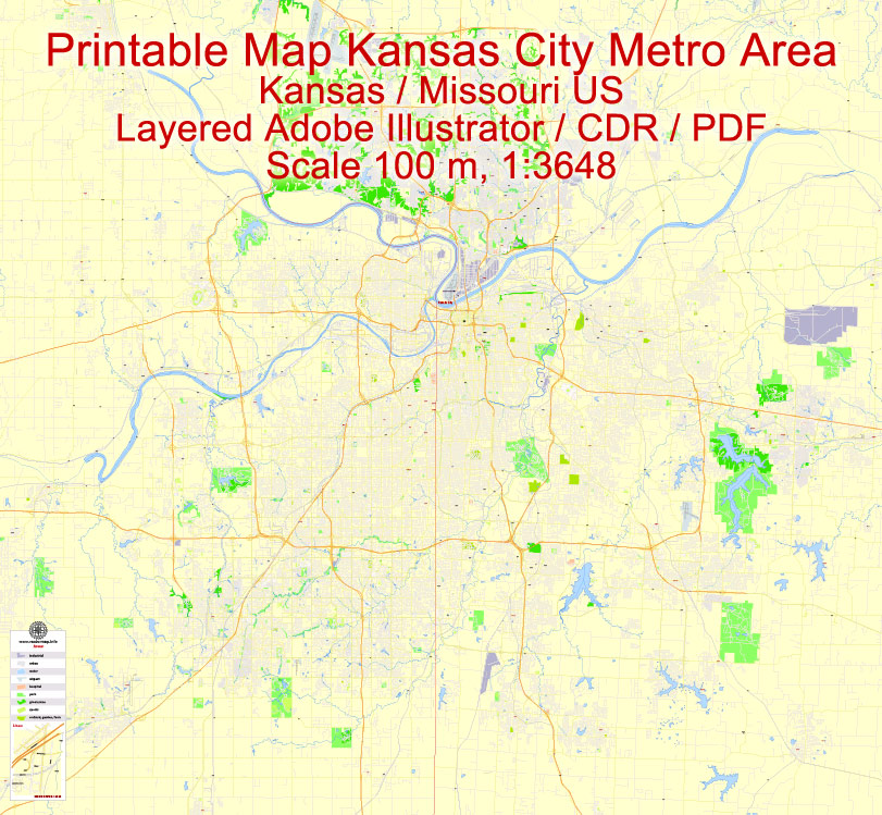
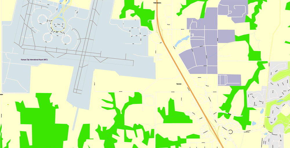
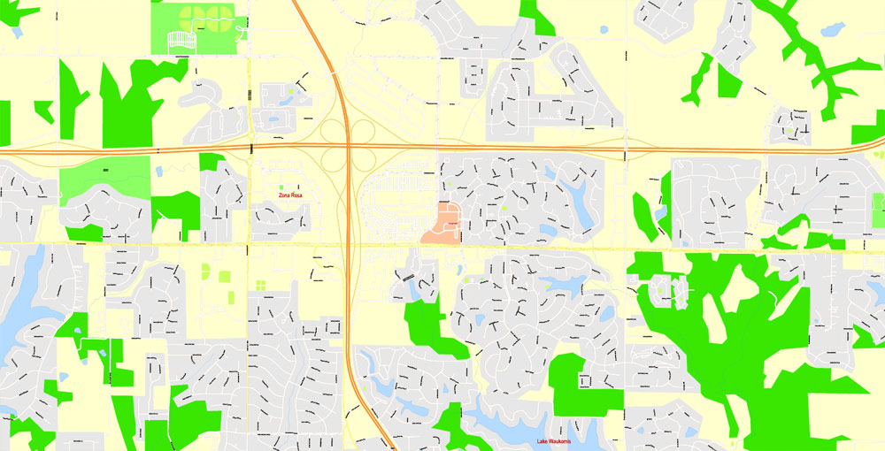
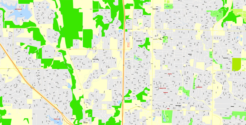
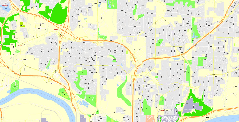
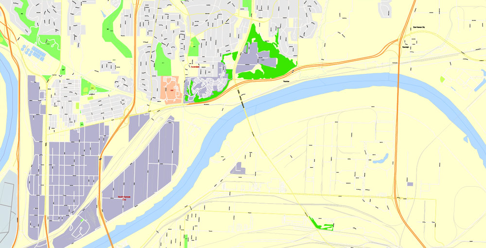
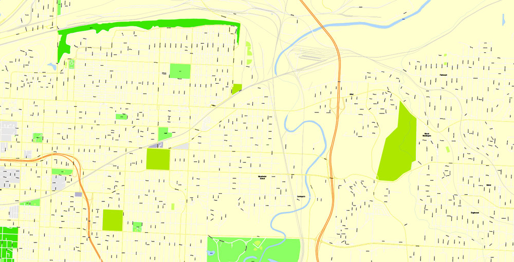
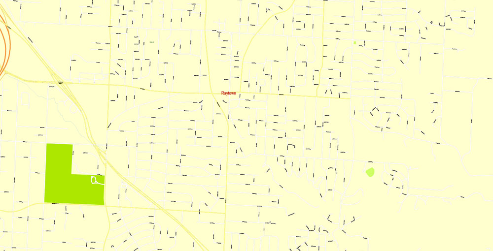
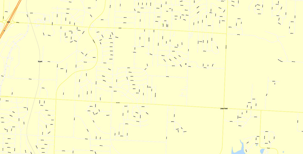
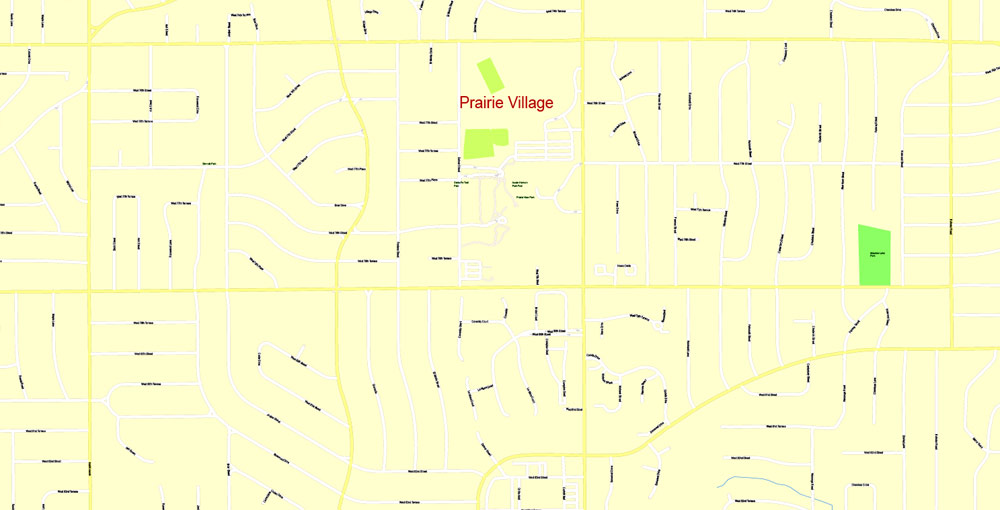
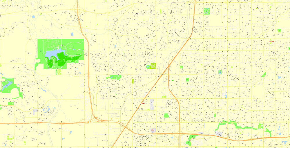
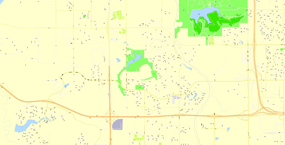
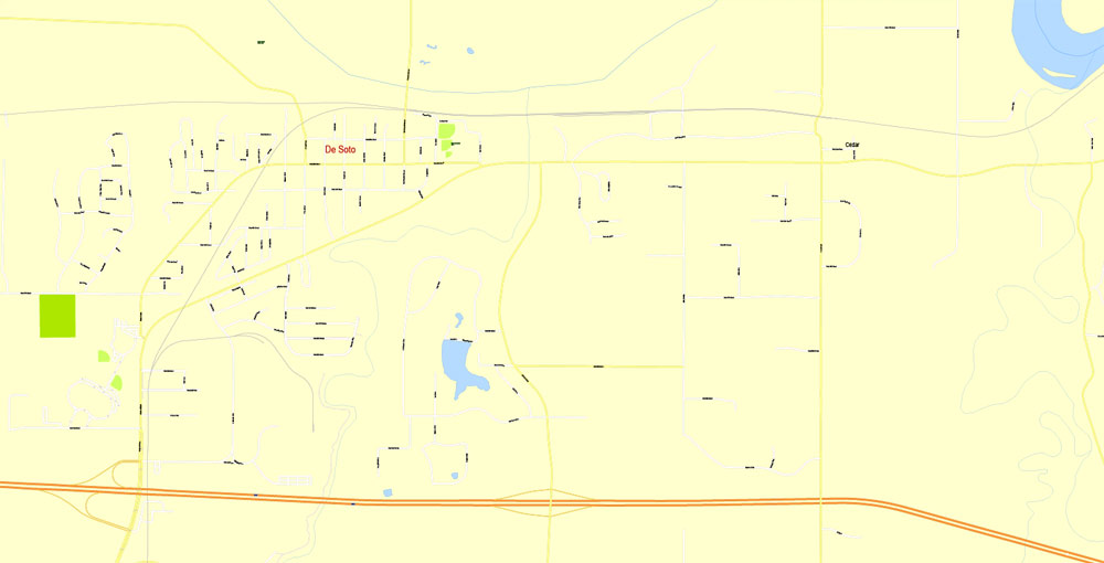
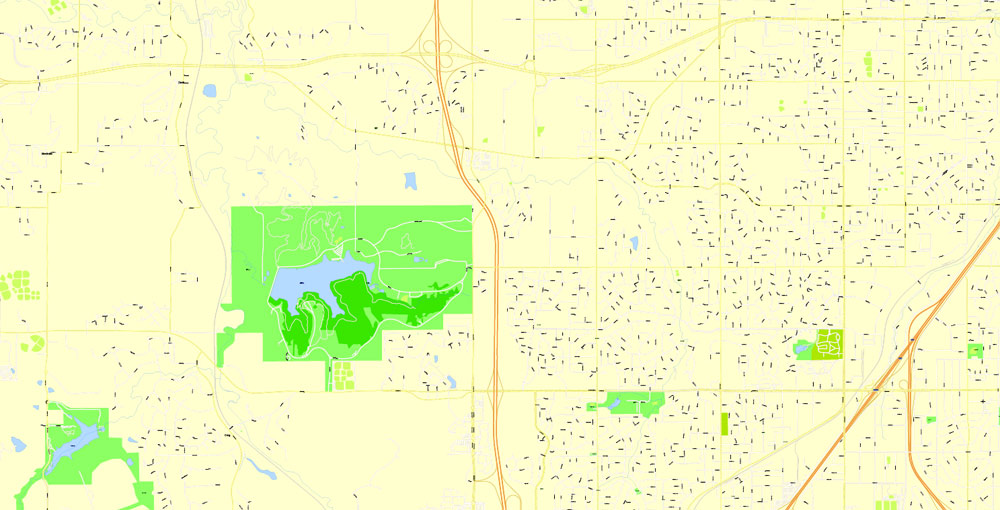
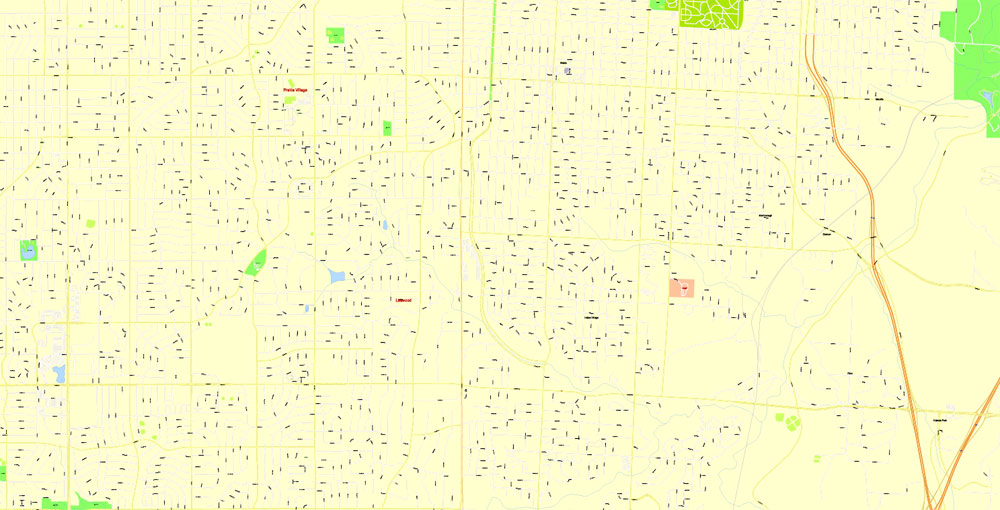
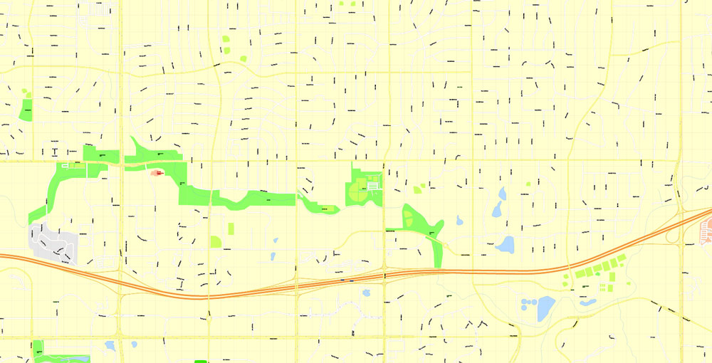
Printable Vector Map Kansas City metro area, Kansas Missouri US, exact vector Map street G-View City Plan Level 17 (100 meters scale) full editable, Adobe Illustrator, full vector, scalable, editable text format street names, 22 mb ZIP
All streets named, Main Objects, NO buildings. Map for design, printing, arts, projects, presentations, for architects, designers and builders, business, logistics.
Layers: color fills, streets_roads, arrows_streets, labels_roads, objects, names_objects, names_streets, names_places, grids, legend.
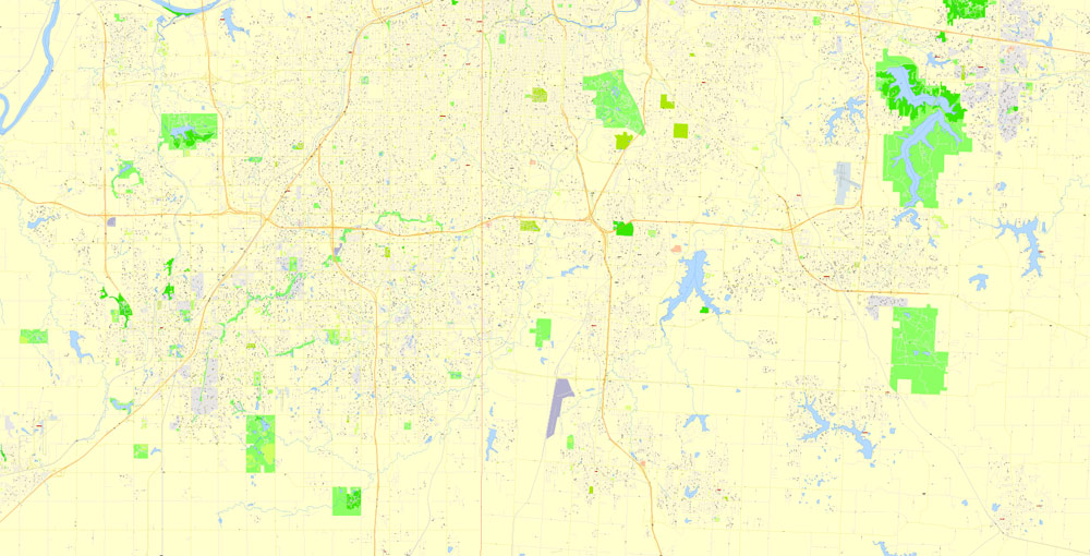
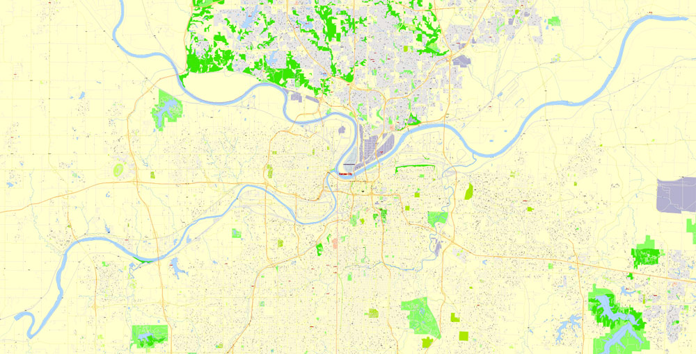
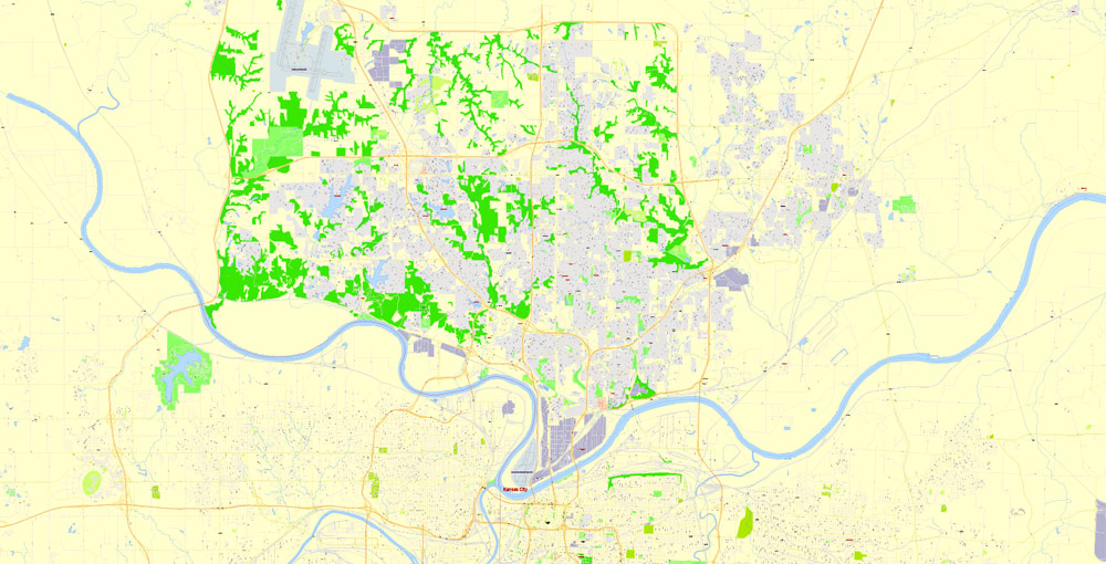
The most exact and detailed map of the city.
For print LARGE (WALL) format.
DWG, DXF, CDR and other formats – on request, same price, please, contact
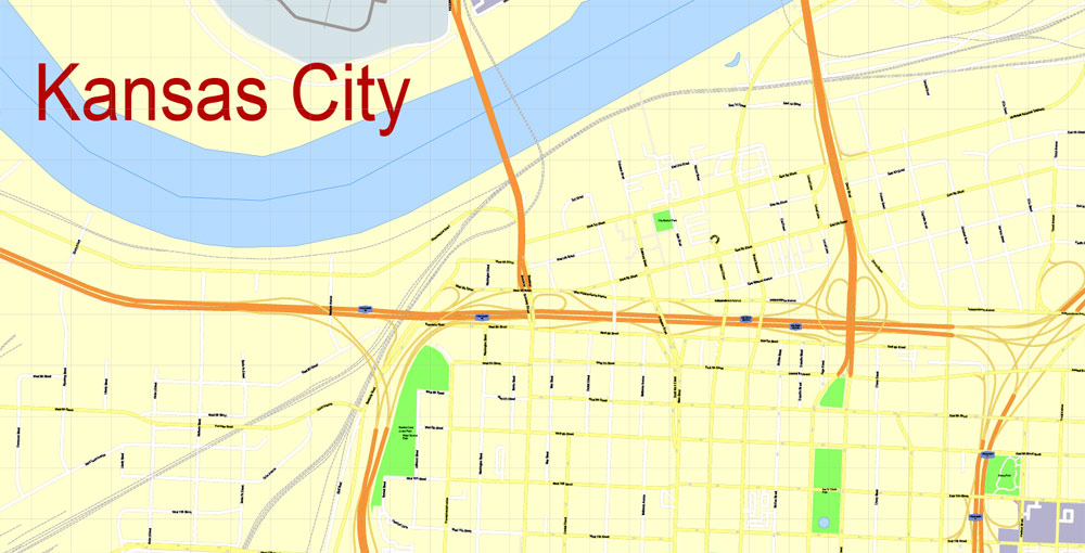
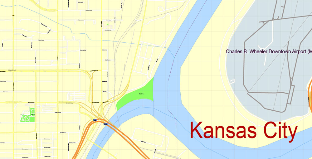
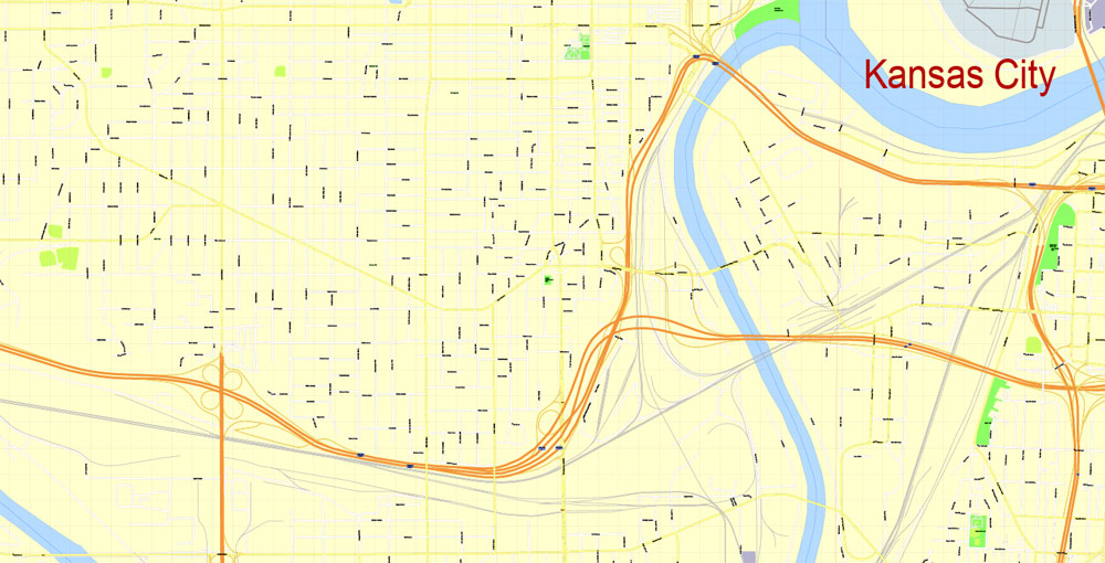
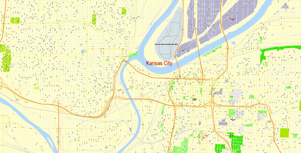
Kansas City, Missouri, USA.
This vector map of Kansas city is used as a basis for design, editing, and further printing.
This is the most detailed, exact map of Kansas city for high-quality printing and polygraphy. You can always clarify the map development date by contacting us.
For your convenience, all objects on Kansas vector city map are divided into layers. And the editing is very easy – colors, lines, etc.
You can easily add any objects needed (e.g. shops, salons, sale points, gas station or attraction) on any layer of Kansas vector map.
Kansas City is the largest city in the U.S. state of Missouri. According to the U.S. Census Bureau, the city had an estimated population of 488,943 in 2017, making it the 37th most-populous city in the United States. It is the central city of the Kansas City metropolitan area, which straddles the Kansas–Missouri state line.
One of the advantages of Kansas city vector maps of our production is the relevance of cartographic data, we constantly update all our products.
This vector map of Kansas city is used by:
designers, layout designers, printers, advertisers and architects. Our product – vector maps – is designed for further editing and printing in large formats – from @Wall format (a few meters) to A-0 and A-1, A-2, A-3.
The Kansas city map in vector format is used for design, urban planning, presentations and media visualizations.
The advertising and presentation map of Kansas city (usually the final designer marks the routes, and puts the client’s objects (shops, saloons, gas stations etc.)
The undoubted advantage is that people will NEVER throw out this advertising product – the map. In fact, as an advertising medium, a city map is the most “long-playing” of the well-known polygraphic advertising media, with the longest lifespan, and the maximum number of interactions with the customer.
For travelers, maps are sold at the airports and gas stations around the world. Often the source is our vector maps.
Kansas City was founded in the 1830s as a Missouri River port at its confluence with the Kansas River coming in from the west. On June 1, 1850 the town of Kansas was incorporated; shortly after came the establishment of the Kansas Territory. Confusion between the two ensued and the name Kansas City was assigned to distinguish them soon after.
Take a look, who purchases our vector maps of Kansas city in “Our Clients and Friends” page – these are large and small companies, from super-brands like Volvo and Starbucks, to small design studios and printing houses.
It’s very easy to work with vector maps of Kansas city, even for a not very experienced designer who can turn on and off the map layers, add new objects, change the colors of fill and lines according to customer requirements.
The undoubted advantage of Kansas city vector maps in printing is an excellent and detailed visualization, when customer can expand a large paper map and instantly define his location, find a landmark, an object or address on map, unlike using the popular electronic formats of Google and Yandex maps for example.
Printable vector maps of Kansas city are much more convenient and efficient than any electronic maps on your smartphone, because ALL DETAILS are displayed in the entire space of Kansas city map.
Sitting on Missouri’s western boundary, with Downtown near the confluence of the Kansas and Missouri Rivers, the modern city encompasses some 319.03 square miles (826.3 km2), making it the 23rd largest city by total area in the United States.
Useful tips on working with vector maps of cities and countries in Adobe Illustrator.
«V» – launches the Selection tool (cursor, black arrow), which makes active any vector line.
«А» – launches the Direct Selection tool (white cursor), allows you to select curve elements and drag them to the desired place.
«R» – activates the Rotate tool, which helps you rotating selected objects around the center point by 360 degrees.
«E» – gives you the opportunity to use the Eraser tool and erase unnecessary parts.
«X» – switches between Fill and Stroke in the Tools section. Try to get used to this hot key and
you will quickly understand that you can’t live and work without it.
Guides are not limited to vertical and horizontal in Adobe Illustrator. You can also create a diagonal guide for example. Moreover, you can turn any contours into guides. Select the outline and go to View > Guides > Make Guides (Create Guides), or simply press Cmd/Ctrl + 5. You can also turn the guides back into an editable object. Go to menu, View > Guides > Unlock Guides (Release Guides), select the guide you want to edit and select View > Guides > Release Guides (Reset Guides), or just press Cmd/Ctrl + Option / Alt + 5).
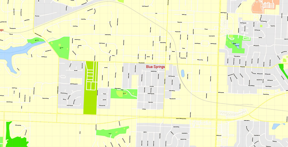
Most of the city lies within Jackson County, but portions spill into Clay, Cass, and Platte counties. Along with Independence, one of its major suburbs, it serves as one of the two county seats of Jackson County. Other major suburbs include the Missouri cities of Blue Springs and Lee’s Summit and the Kansas cities of Lawrence,Overland Park, Olathe, and Kansas City.
You will probably want to change the color scheme used on our Kansas vector city map.
To quickly and effectively play with colors.
Of course, you can do it manually, all objects in our Kansas city vector map are divided according to types and layers, and you can easily change the color gamma of vector objects in groups and layers.
But there is more effective way of working with the whole VECTOR MAP of Kansas city and all layers:
The overview dialog «Edit colors»/«Repaint Graphic Object» (this dialog box name can change depending on the context):
If you have selected a part or a layer of Kansas city vector map and open the dialog box by clicking the icon in the Control panel, on the Samples palette or the Color Catalog, or if you choose Edit > Edit Colors> Repaint Graphic Object, then the «Repaint Graphic Object» dialog box appears, and you get access to «Assign» and «Edit» tabs.
The city is composed of several neighborhoods, including the River Market District in the north, the 18th and Vine District in the east, and the Country Club Plaza in the south. Kansas City is known for its long tradition of jazz music and culture, for its cuisine (including its distinctive style of barbecue), and its craft breweries.
If a picture or a map fragment is not selected, and you open the dialog box by clicking the icon in the Control panel, on the Samples palette or in the Color Catalog, the «Edit Colors» dialog box appears and you can only access the «Edit» tab.
Regardless of the name at the top of the dialog box, the right-hand side always displays the color group of the current document, as well as two default color groups: Print Color and Grayscale. These color groups can be selected and used any time.
Create and edit color groups of Kansas city vector map, and also assign colors using the «Edit Colors»/ а «Repaint Graphic Object» dialog box.
A. Creating and editing of a color group on the «Edit» tab
B. Assigning colors on the «Assign» tab
C. Select a group of colors from the «Color groups» list
The option «Repaint a graphic object» in the lower part of the dialog box allows you to preview the colors on a selected layer of Vector map, or a group of elements, and specify whether its colors will be redefined when the dialog box is closed.
Geography
The city has an area of 319.03 square miles (826.28 km2), of which, 314.95 square miles (815.72 km2) is land and 4.08 square miles (10.57 km2) is water. Bluffs overlook the rivers and river bottom areas. Kansas City proper is bowl-shaped and is surrounded to the north and south by glacier-carved limestone and bedrock cliffs.
The main areas of the dialog box are:
«Edit»
The «Edit» tab is designed to create a new or edit the existing color groups.
The harmony rules Menu and the Color Wheel are used to conduct experiments with color harmonies. The color wheel shows how colors are related in color harmony, and the color bars allow you to view and manipulate an individual color values. In addition, you can adjust the brightness, add and remove colors, save color groups and view colors on the selected Vector Map of Kansas city or a separated layers.
«Assign»
The «Assign» tab is used to view and control on how the original colors are replaced with colors from the color group like your corporate colors in the Vector Map of Kansas city.
Kansas City is at the junction between the Dakota and Minnesota ice lobes during the maximum late Independence glaciation of the Pleistocene epoch. The Kansas and Missouri rivers cut wide valleys into the terrain when the glaciers melted and drained. A partially filled spillway valley crosses the central city. This valley is an eastward continuation of the Turkey Creek Valley. It is the closest major city to the geographic center of the contiguous United States, or “Lower 48”.
The assign color ability is provided only if the entire map, layer or fragment is selected in the document. You can specify which of new colors replace the current colors, whether the spot colors should be preserved and how colors are replaced (for example, you can replace colors completely or changing the color tone while maintaining the brightness). The «Assign» tab allows you to redefine colors in the Vector Map of Kansas city, or in separate layers and fragments using the current color group or reducing the number of colors in the current Vector Map.
Color groups
Is a list of all saved color groups for current document (the same groups appear in the «Samples» palette). You can edit and delete the existing color groups, as well as creating a new ones using the list of “Color Groups” in the dialog box. All changes appear in the «Samples» palette.
The highlighted color group shows, which color group is currently edited.
Parks and boulevards
J.C. Nichols Memorial Fountain, by Henri-Léon Gréber, in Mill Creek Park, adjacent to the Country Club Plaza.
Kansas City has 132 miles (212 km) of boulevards and parkways, 214 urban parks, 49 ornamental fountains, 152 ball diamonds, 10 community centers, 105 tennis courts, 5 golf courses, 5 museums and attractions, 30 pools, and 47 park shelters. These amenities are found across the city. Much of the system, designed by George E. Kessler, was constructed from 1893 to 1915.
Any color group can be selected and edited, or used to redefine the colors in the selected vector map of Kansas city, its fragments or elements.
Saving a color group adds this group to the specified list.
Opening the «Edit Colors»/«Repaint Graphic Object» dialog box.
Open the «Edit Colors»/«Repaint Graphic Object» dialog box using one of the following methods:
«Edit»> «Edit Colors»> «Repaint Graphic object» or «Repaint With Style».
Use these commands if you need to edit the colors in the selected vector map of Kansas city.
«Repaint Graphic object» button on the «Control» panel.
Use this button if you need to adjust colors of Kansas city vector map using the а «Repaint graphic object» dialog box.
Cliff Drive, in Kessler Park on the North Bluffs, is a designated State Scenic Byway. It extends 4.27 miles (6.87 km) from The Paseo and Independence Avenue through Indian Mound on Gladstone Boulevard at Belmont Boulevard, with many historical points and architectural landmarks.
The specified button is available if the selected vector map or its fragment contains two or more colors.
Note. This color editing method is convenient for global color adjustment in a vector map, if global colors were not used when creating a City Map of Kansas.
The «Edit colors» button or «Edit or apply colors» on the «Color Catalog» palette
Click this button if you need to edit colors on the «Color Catalog» palette or edit and then apply them to the selected Vector Map of Kansas city or its fragment.
The «Edit color group» button or «Edit or apply color group» on the «Samples» palette.
Click this button if you need to edit the colors in the specific color group or edit and apply them to the selected Vector Map of Kansas city or a group of its elements, for example, the whole layer “Streets and lines”. You can also double-click the color group in the Samples panel to open the dialog box.
If the map file is too large and your computer freezes or even can’t open it quickly:
1. Try to reduce the color resolution of the video card (display) to 256 colors while working with a large map.
2. Using Windows Task Manager, select all the application you don’t need, while working with map, just turn them off.
3. Launch Adobe Illustrator. (DO NOT OPEN the vector map file)
4. Start the Windows Task Manager using administrator rights > Find the “Illustrator” process > set the «real time» priority,
5. Open the file. When you see the LEGACY FONT popup window – click “OK” (do not update). You can restore the TEXT later.
6. Can also be useful: When file is opened – Edit > Settings > Basic Settings > disable smoothing. /// It looks scary, but works quickly)))
We recommend saving the file in Adobe Illustrator 10 version. It’s much more stable when working with VERY BIG size files.
Ward Parkway, on the west side of the city near State Line Road, is lined by many of the city’s largest and most elaborate homes.
The Paseo is a major north–south parkway that runs 19 miles (31 km) through the center of the city beginning at Cliff Drive. It was modeled on the Paseo de la Reforma, a fashionable Mexico City boulevard.
Swope Park is one of the nation’s largest city parks, comprising 1,805 acres (3 sq mi), more than twice the size of New York City’s Central Park. It features a zoo, a woodland nature and wildlife rescue center, 2 golf courses, 2 lakes, an amphitheatre, a day-camp, and numerous picnic grounds. Hodge Park, in the Northland, covers 1,029 acres (416 ha) (1.61 sq. mi.). This park includes the 80-acre (320,000 m2) Shoal Creek Living History Museum, a village of more than 20 historical buildings dating from 1807 to 1885. Berkely Riverfront Park, 955 acres (3.86 km2) on the banks of the Missouri River on the north edge of downtown, holds annual Independence Day celebrations and other festivals.
A program went underway to replace many of the fast-growing sweetgum trees with hardwood varieties.

Kansas City
City in Missouri
Kansas City sits on Missouri’s western edge, straddling the border with Kansas. It’s known for its barbecue, jazz heritage and fountains. Downtown, the American Jazz Museum shares a building with the Negro Leagues Baseball Museum in the historic 18th & Vine Jazz District. The Nelson-Atkins Museum of Art, with giant shuttlecocks out front, houses nearly 40,000 works of art, from ancient to contemporary collections.
Area
• City 319.03 sq mi (826.28 km2)
• Land 314.95 sq mi (815.72 km2)
• Water 4.08 sq mi (10.57 km2)
• Urban 584.4 sq mi (1,513.59 km2)
• Metro 7,952 sq mi (20,596 km2)
Elevation 910 ft (277 m)
Population
• City 459,787
• Estimate 481,420
• Rank US: 37th
• Density 1,400/sq mi (560/km2)
• Urban 1,519,417 (US: 31st)
• Metro 2,159,159 (US: 29th)
• CSA 2,428,362 (US: 24th)
Free US vector maps

Free Download Vector Map US County and State Adobe Illustrator
Free_Vector_Map_US_States_County_Map.ai
Free Download Vector Map US County and State Adobe PDF
Free_Vector_Map_US_States_County_Map.pdf

Free Download Vector Map US With States Names, Adobe Illustrator
Free_Map_of_USA_with_state_names_en.ai
Free Download Vector Map US With States Names, Adobe PDF
Free_Map_of_USA_with_state_names_en.pdf
From WIKI
Free vector map World, Adobe Illustrator, download now maps vector clipart
Map for design, projects, presentation free to use as you like.
See also: TERMS & CONDITIONS: SOFTWARE LICENSE AGREEMENT FOR DIGITAL CARTOGRAPHIC DATA.
Need more USA Vector Maps, printable and editable?

 Author: Kirill Shrayber, Ph.D. FRGS


