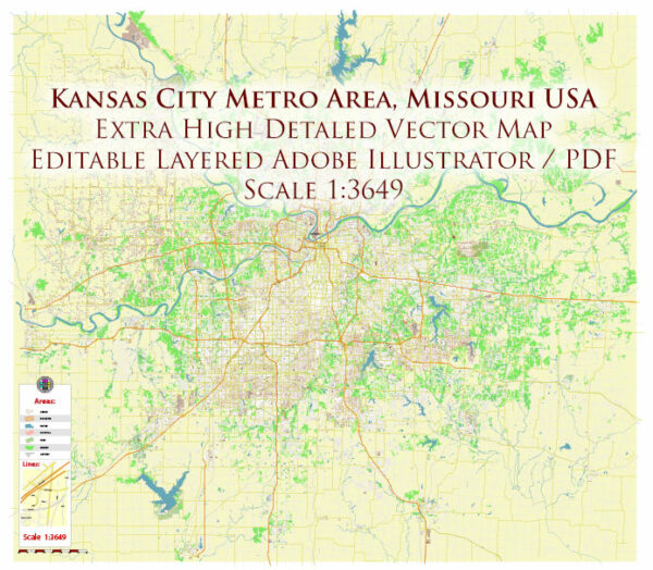
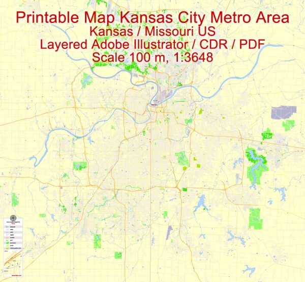
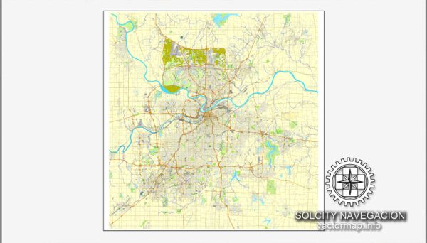
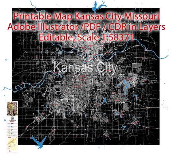
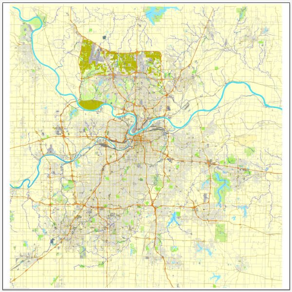
A general overview of the city, roads, and railroads infrastructure in the Kansas City metropolitan area, which spans both Missouri and Kansas.
Vectormap.Net provide you with the most accurate and up-to-date vector maps in Adobe Illustrator, PDF and other formats, designed for editing and printing. Please read the vector map descriptions carefully.
City Overview: Kansas City is a major metropolitan area located at the confluence of the Missouri and Kansas rivers. It is the largest city in Missouri and the sixth-largest city in the Midwest. The Kansas City metropolitan area encompasses several counties in both Missouri and Kansas, including Jackson County in Missouri and Johnson and Wyandotte counties in Kansas.
Roads and Highways:
- Interstate Highways:
- I-70: Runs east-west through both Missouri and Kansas, connecting the city to St. Louis and Denver.
- I-35: Runs north-south, connecting Kansas City to Wichita and Minneapolis.
- I-435: A beltway around the city, providing access to various suburbs and connecting with major highways.
- U.S. Highways:
- US-71: Connects downtown Kansas City to the south and north, extending to the Canadian border.
- US-50: Runs east-west through the region, connecting Kansas City to the east coast.
- State Highways:
- Missouri State Highway 9: Connects downtown Kansas City to the northern suburbs.
- Kansas State Highway 10: Runs east-west, connecting the eastern suburbs.
- Local Roads:
- The city is well-connected with a grid of local streets and avenues, facilitating transportation within neighborhoods.
Railroads: Kansas City has a significant railroad infrastructure, historically playing a crucial role as a transportation hub. Key features include:
- Union Station: A historic train station that has been repurposed as a museum and cultural center. It served as a major hub for passenger trains.
- Freight Railroads: Several freight railroads operate in the area, including Union Pacific, BNSF Railway, and Kansas City Southern Railway.
Public Transportation: Kansas City has a public transit system operated by the Kansas City Area Transportation Authority (KCATA), which includes buses and paratransit services. Additionally, there have been discussions and initiatives related to the development of light rail or streetcar systems to enhance public transportation options.


 Author: Kirill Shrayber, Ph.D.