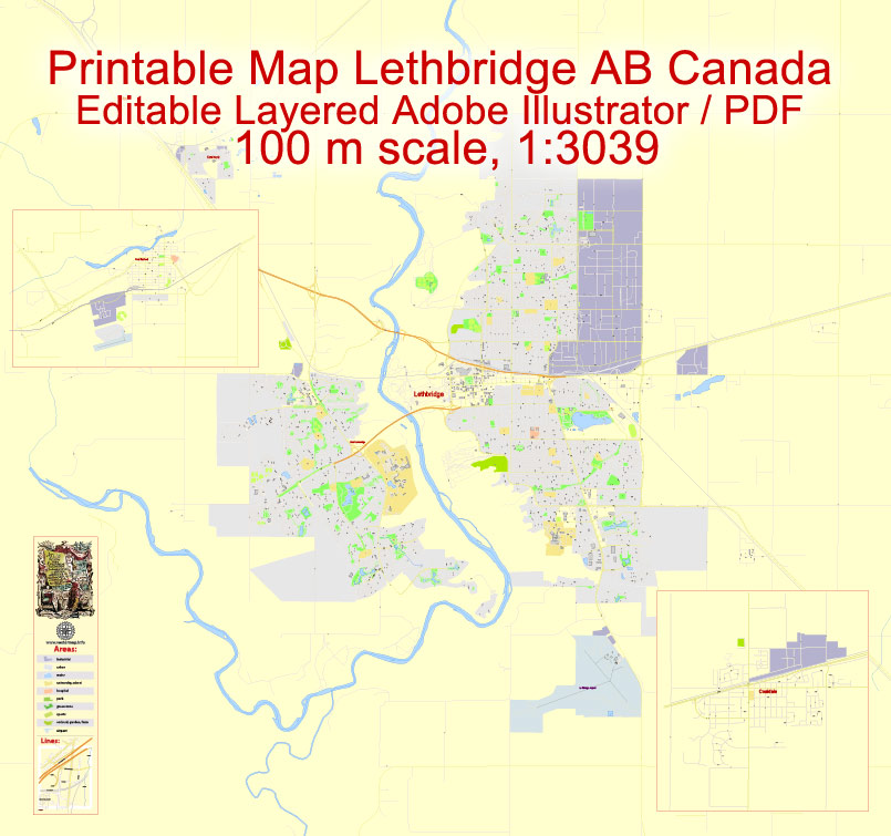
Printable Map Lethbridge + Coaldale + Fort Macleod, Alberta, Canada, exact Map City Plan Level G-View 17 (100 meters scale) full editable, Adobe Illustrator, full vector, scalable, editable text format street names, 8 mb ZIP
All streets named, Main Objects, Some buildings. Map for design, printing, arts, projects, presentations, for architects, designers and builders, business, logistics.
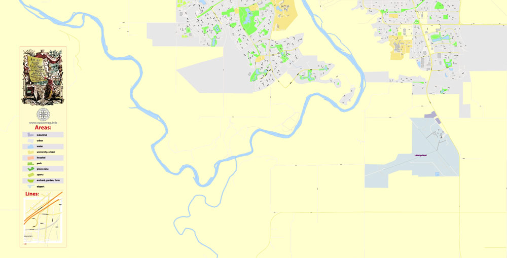
Layers: color_fills , streets_roads, arrows_streets, labels_roads, objects (parks, water objects, hospitals, schools), names_objects, names_streets, names_places, grids, legend, names_buildings.
The most exact and detailed map of the city.
For print LARGE (WALL) format.
DWG, DXF, CDR and other formats – on request, same price, please, contact
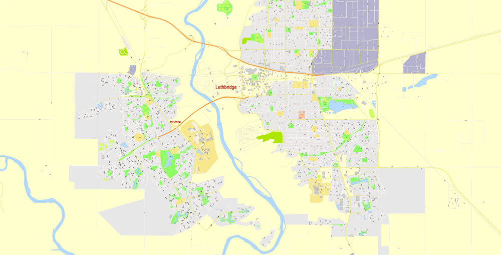
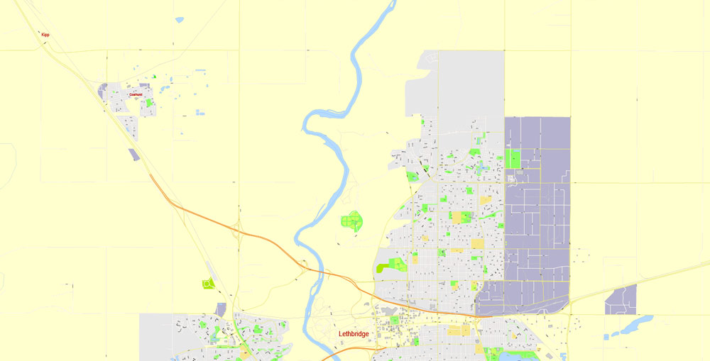
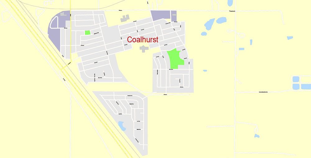
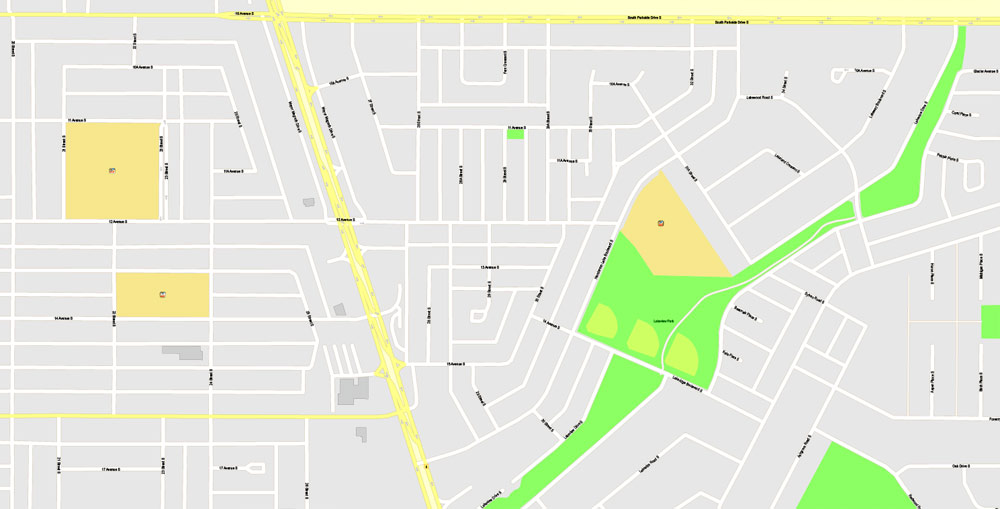
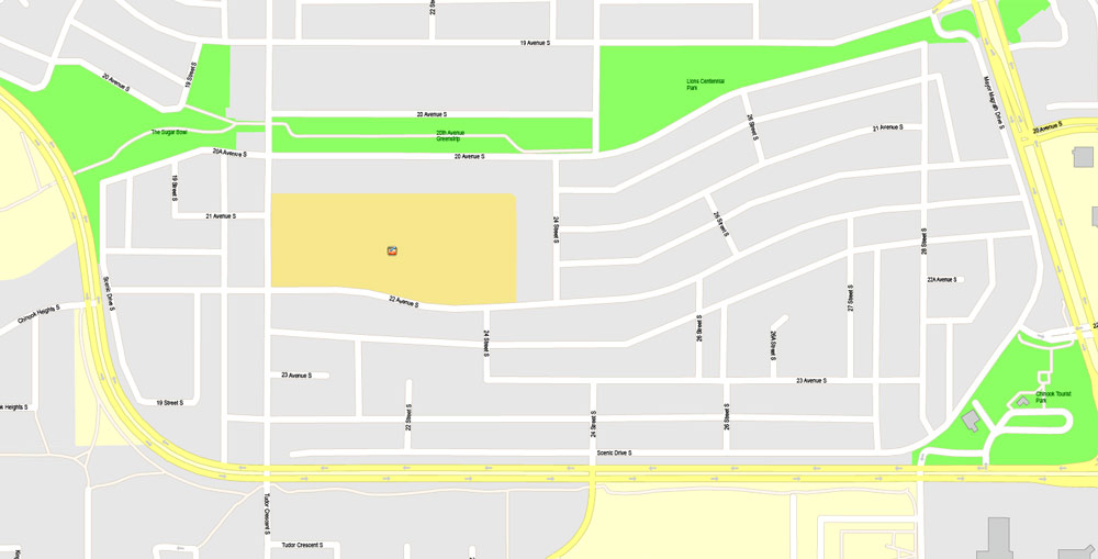
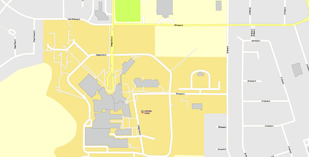
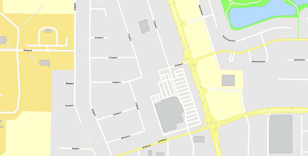
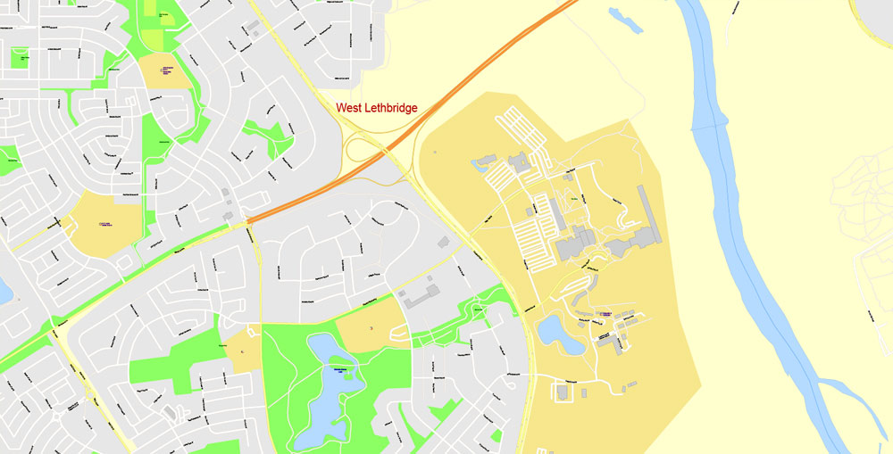
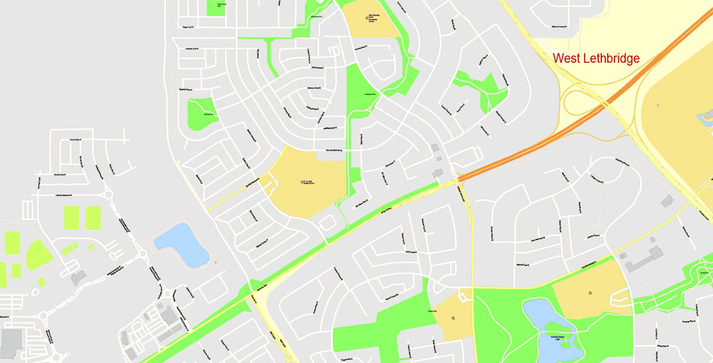
Lethbridge + Coaldale + Fort Macleod, Alberta, Canada.
This vector map of Lethbridge city is used as a basis for design, editing, and further printing.
This is the most detailed, exact map of Lethbridge city for high-quality printing and polygraphy. You can always clarify the map development date by contacting us.
For your convenience, all objects on Lethbridge vector city map are divided into layers. And the editing is very easy – colors, lines, etc.
You can easily add any objects needed (e.g. shops, salons, sale points, gas station or attraction) on any layer of Lethbridge vector map.
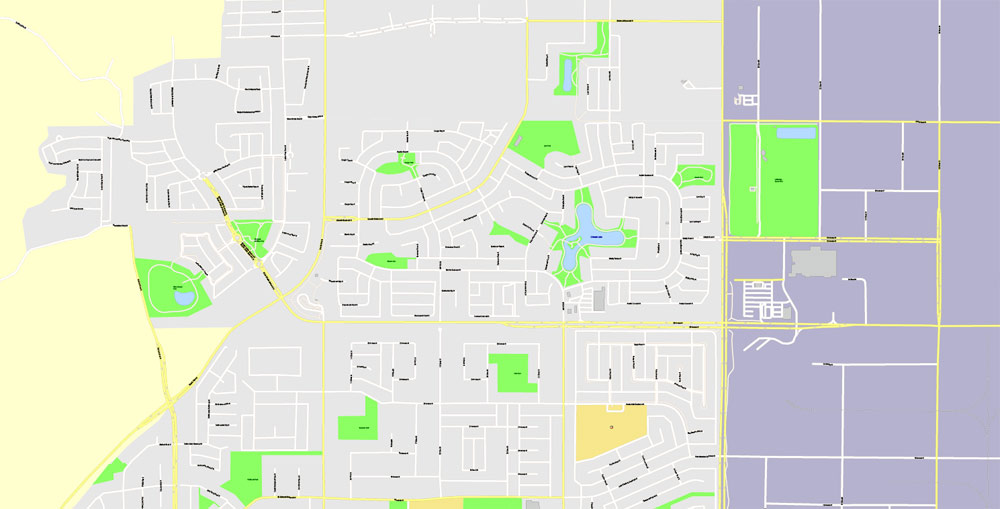
Lethbridge is a city in the province of Alberta, Canada, and the largest city in southern Alberta. It is Alberta’s fourth-largest city by population after Calgary, Edmonton and Red Deer, and the third-largest by land area after Calgary and Edmonton. The nearby Canadian Rockies contribute to the city’s warm summers, mild winters, and windy climate. Lethbridge lies southeast of Calgary on the Oldman River.
One of the advantages of Lethbridge city vector maps of our production is the relevance of cartographic data, we constantly update all our products.
This vector map of Lethbridge city is used by:
designers, layout designers, printers, advertisers and architects. Our product – vector maps – is designed for further editing and printing in large formats – from @Wall format (a few meters) to A-0 and A-1, A-2, A-3.
The Lethbridge city map in vector format is used for design, urban planning, presentations and media visualizations.
The advertising and presentation map of Lethbridge city (usually the final designer marks the routes, and puts the client’s objects (shops, saloons, gas stations etc.)
The undoubted advantage is that people will NEVER throw out this advertising product – the map. In fact, as an advertising medium, a city map is the most “long-playing” of the well-known polygraphic advertising media, with the longest lifespan, and the maximum number of interactions with the customer.
For travelers, maps are sold at the airports and gas stations around the world. Often the source is our vector maps.
Take a look, who purchases our vector maps of Lethbridge city in “Our Clients and Friends” page – these are large and small companies, from super-brands like Volvo and Starbucks, to small design studios and printing houses.
It’s very easy to work with vector maps of Lethbridge city, even for a not very experienced designer who can turn on and off the map layers, add new objects, change the colors of fill and lines according to customer requirements.
The undoubted advantage of Lethbridge city vector maps in printing is an excellent and detailed visualization, when customer can expand a large paper map and instantly define his location, find a landmark, an object or address on map, unlike using the popular electronic formats of Google and Yandex maps for example.
Printable vector maps of Lethbridge city are much more convenient and efficient than any electronic maps on your smartphone, because ALL DETAILS are displayed in the entire space of Lethbridge city map.
Useful tips on working with vector maps of cities and countries in Adobe Illustrator.
«V» – launches the Selection tool (cursor, black arrow), which makes active any vector line.
«А» – launches the Direct Selection tool (white cursor), allows you to select curve elements and drag them to the desired place.
«R» – activates the Rotate tool, which helps you rotating selected objects around the center point by 360 degrees.
«E» – gives you the opportunity to use the Eraser tool and erase unnecessary parts.
«X» – switches between Fill and Stroke in the Tools section. Try to get used to this hot key and
you will quickly understand that you can’t live and work without it.
Guides are not limited to vertical and horizontal in Adobe Illustrator. You can also create a diagonal guide for example. Moreover, you can turn any contours into guides. Select the outline and go to View > Guides > Make Guides (Create Guides), or simply press Cmd/Ctrl + 5. You can also turn the guides back into an editable object. Go to menu, View > Guides > Unlock Guides (Release Guides), select the guide you want to edit and select View > Guides > Release Guides (Reset Guides), or just press Cmd/Ctrl + Option / Alt + 5).
You will probably want to change the color scheme used on our Lethbridge vector city map.
To quickly and effectively play with colors.
Of course, you can do it manually, all objects in our Lethbridge city vector map are divided according to types and layers, and you can easily change the color gamma of vector objects in groups and layers.
But there is more effective way of working with the whole VECTOR MAP of Lethbridge city and all layers:
The overview dialog «Edit colors»/«Repaint Graphic Object» (this dialog box name can change depending on the context):
If you have selected a part or a layer of Lethbridge city vector map and open the dialog box by clicking the icon in the Control panel, on the Samples palette or the Color Catalog, or if you choose Edit > Edit Colors> Repaint Graphic Object, then the «Repaint Graphic Object» dialog box appears, and you get access to «Assign» and «Edit» tabs.
If a picture or a map fragment is not selected, and you open the dialog box by clicking the icon in the Control panel, on the Samples palette or in the Color Catalog, the «Edit Colors» dialog box appears and you can only access the «Edit» tab.
Regardless of the name at the top of the dialog box, the right-hand side always displays the color group of the current document, as well as two default color groups: Print Color and Grayscale. These color groups can be selected and used any time.
Create and edit color groups of Lethbridge city vector map, and also assign colors using the «Edit Colors»/ а «Repaint Graphic Object» dialog box.
A. Creating and editing of a color group on the «Edit» tab
B. Assigning colors on the «Assign» tab
C. Select a group of colors from the «Color groups» list
The option «Repaint a graphic object» in the lower part of the dialog box allows you to preview the colors on a selected layer of Vector map, or a group of elements, and specify whether its colors will be redefined when the dialog box is closed.
The main areas of the dialog box are:
«Edit»
The «Edit» tab is designed to create a new or edit the existing color groups.
The harmony rules Menu and the Color Wheel are used to conduct experiments with color harmonies. The color wheel shows how colors are related in color harmony, and the color bars allow you to view and manipulate an individual color values. In addition, you can adjust the brightness, add and remove colors, save color groups and view colors on the selected Vector Map of Lethbridge city or a separated layers.
«Assign»
The «Assign» tab is used to view and control on how the original colors are replaced with colors from the color group like your corporate colors in the Vector Map of Lethbridge city.
The assign color ability is provided only if the entire map, layer or fragment is selected in the document. You can specify which of new colors replace the current colors, whether the spot colors should be preserved and how colors are replaced (for example, you can replace colors completely or changing the color tone while maintaining the brightness). The «Assign» tab allows you to redefine colors in the Vector Map of Lethbridge city, or in separate layers and fragments using the current color group or reducing the number of colors in the current Vector Map.
Color groups
Is a list of all saved color groups for current document (the same groups appear in the «Samples» palette). You can edit and delete the existing color groups, as well as creating a new ones using the list of “Color Groups” in the dialog box. All changes appear in the «Samples» palette.
The highlighted color group shows, which color group is currently edited.
Any color group can be selected and edited, or used to redefine the colors in the selected vector map of Lethbridge city, its fragments or elements.
Saving a color group adds this group to the specified list.
Opening the «Edit Colors»/«Repaint Graphic Object» dialog box.
Open the «Edit Colors»/«Repaint Graphic Object» dialog box using one of the following methods:
«Edit»> «Edit Colors»> «Repaint Graphic object» or «Repaint With Style».
Use these commands if you need to edit the colors in the selected vector map of Lethbridge city.
«Repaint Graphic object» button on the «Control» panel.
Use this button if you need to adjust colors of Lethbridge city vector map using the а «Repaint graphic object» dialog box.
The specified button is available if the selected vector map or its fragment contains two or more colors.
Note. This color editing method is convenient for global color adjustment in a vector map, if global colors were not used when creating a City Map of Lethbridge.
The «Edit colors» button or «Edit or apply colors» on the «Color Catalog» palette
Click this button if you need to edit colors on the «Color Catalog» palette or edit and then apply them to the selected Vector Map of Lethbridge city or its fragment.

The «Edit color group» button or «Edit or apply color group» on the «Samples» palette.
Click this button if you need to edit the colors in the specific color group or edit and apply them to the selected Vector Map of Lethbridge city or a group of its elements, for example, the whole layer “Streets and lines”. You can also double-click the color group in the Samples panel to open the dialog box.
If the map file is too large and your computer freezes or even can’t open it quickly:
1. Try to reduce the color resolution of the video card (display) to 256 colors while working with a large map.
2. Using Windows Task Manager, select all the application you don’t need, while working with map, just turn them off.
3. Launch Adobe Illustrator. (DO NOT OPEN the vector map file)
4. Start the Windows Task Manager using administrator rights > Find the “Illustrator” process > set the «real time» priority,
5. Open the file. When you see the LEGACY FONT popup window – click “OK” (do not update). You can restore the TEXT later.
6. Can also be useful: When file is opened – Edit > Settings > Basic Settings > disable smoothing. /// It looks scary, but works quickly)))
We recommend saving the file in Adobe Illustrator 10 version. It’s much more stable when working with VERY BIG size files.
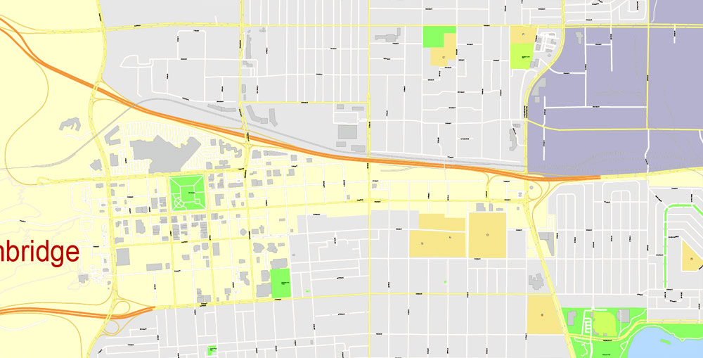
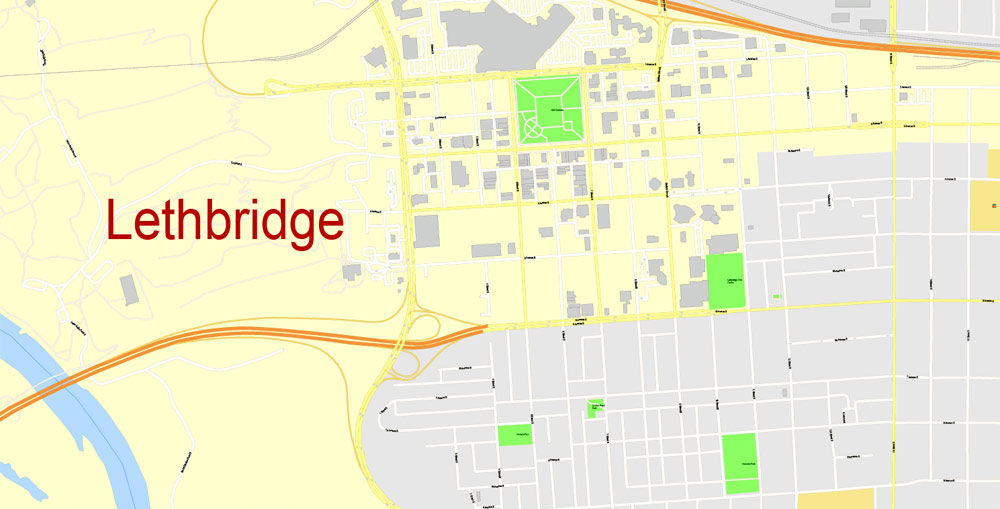
Lethbridge is the commercial, financial, transportation and industrial centre of southern Alberta. The city’s economy developed from drift mining for coal in the late 19th century and agriculture in the early 20th century. Half of the workforce is employed in the health, education, retail and hospitality sectors, and the top five employers are government-based. The only university in Alberta south of Calgary is in Lethbridge, and two of the three colleges in southern Alberta have campuses in the city. Cultural venues in the city include performing art theatres, museums and sports centres.
Geography
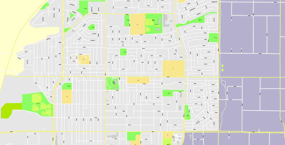
The city of Lethbridge is located at 49.7° north latitude and 112.833° west longitude and covers an area of 127.19 square kilometres (49.11 sq mi). The city is divided by the Oldman River; its valley has been turned into one of the largest urban park systems in North America at 16 square kilometres (4,000 acres) of protected land. The city is Alberta’s fourth largest by population after Calgary, Edmonton, and Red Deer. It is the third largest in area after Calgary and Edmonton and is near the Canadian Rockies, 210 kilometres (130 mi) southeast of Calgary.
Lethbridge is split into three geographical areas: north, south and west. The Oldman River separates West Lethbridge from the other two while Crowsnest Trail and the Canadian Pacific Railway rail line separate North and South Lethbridge. The newest of the three areas, West Lethbridge (pop. 36,716) is home to the University of Lethbridge, opened at that site in 1971, but the first housing was not completed until 1974 and the prime Whoop-Up Drive access opened only in 1975. Much of the city’s recent growth has been on the west side, and it has the youngest median age of the three. The north side (pop. 26,751) was originally populated by workers from local coal mines. It has the oldest population of the three areas, is home to multiple industrial parks and includes the former Hamlet of Hardieville, which was annexed by Lethbridge in 1978. South Lethbridge (pop. 31,337) is the commercial heart of the city. It contains the downtown core, the bulk of retail and hospitality establishments, and the Lethbridge College.
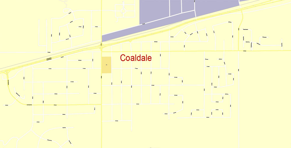
Coaldale is a town in southern Alberta, Canada, located 11 km (6.8 mi) east of Lethbridge, along the Crowsnest Highway. Coaldale became a village in 1919 and then became incorporated as a town in 1952.
Demographics
In the 2016 Census of Population conducted by Statistics Canada, the Town of Coaldale recorded a population of 8,215 living in 3,007 of its 3,070 total private dwellings, a 9.6% change from its 2011 population of 7,493. With a land area of 7.99 km2 (3.08 sq mi), it had a population density of 1,028.2/km2 (2,662.9/sq mi) in 2016.
The Town of Coaldale’s 2013 municipal census counted a population of 7,526, an 8.4% increase over its 2009 municipal census population of 6,943.
In the 2011 Census, the Town of Coaldale had a population of 7,493 living in 2,751 of its 2,844 total dwellings, a 21.3% change from its 2006 population of 6,177. With a land area of 7.95 km2 (3.07 sq mi), it had a population density of 942.5/km2 (2,441.1/sq mi) in 2011.
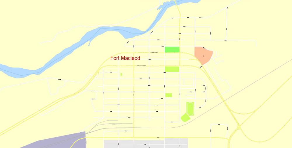
Fort Macleod, originally named Macleod, is a town in the southwest corner of the province of Alberta, Canada. It was founded as a North-West Mounted Police barracks, and is named in honour of the North-West Mounted Police Colonel James Macleod. It was known as the Town of Macleod between 1892 and 1912.
Geography
The town is located in the Municipal District of Willow Creek No. 26, at the intersection of Highway 2 and Highway 3, on the Oldman River. It lies west of the larger community of Lethbridge, near the reserves of the Peigan and Kainai First Nations. It is also located close to the Waterton Lakes National Park.
The town is located 8 kilometres (5.0 mi) north of the McBride Lake Wind Farm, one of the largest wind farms in Alberta. The wind farm has a capacity of 75 megawatts of electricity.
Lethbridge
City in Alberta, Canada
Lethbridge is a city in the province of Alberta, Canada, and the largest city in southern Alberta. It is Alberta’s fourth-largest city by population after Calgary, Edmonton and Red Deer, and the third-largest by land area after Calgary and Edmonton.
Area
• Land 122.09 km2 (47.14 sq mi)
• Urban 144.8 km2 (55.90 sq mi)
• Metro 2,975.08 km2 (1,148.68 sq mi)
Elevation 910 m (2,990 ft)
Population
• City 92,729
• Density 759.5/km2 (1,967/sq mi)
• Urban 87,572
• Urban density 1,566.5/km2 (4,057/sq mi)
• Metro 117,394 (34th)
• Metro density 39.5/km2 (102/sq mi)
• Municipal census 96,828
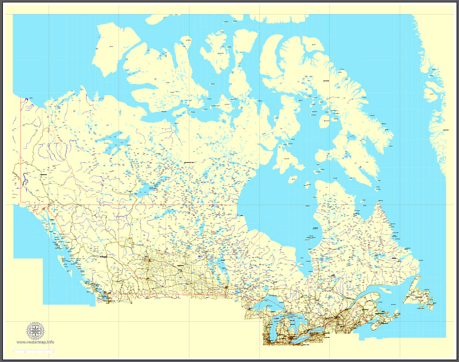
Download Free vector Map Canada, mainroads, cities, borders, province borders, Adobe Illustrator Text format street names, full editable, Layers: grownd, nombres, borders, symbols, halo
vector_map_canada_mainroads_mercator_projection_ai-ai
Download Free PDF Map Canada, mainroads, cities, borders, province borders, Adobe PDF Text format street names, full editable, Layers: grownd, nombres, borders, symbols, halo
vector_map_canada_mainroads_mercator_projection_pdf-pdf
Small guide: How to work with the vector map?
You can: Mass select objects by type and color – for example, the objects type “building” (they are usually dark gray) – and remove them from the map, if you do not need them in your print or design project. You can also easily change the thickness of lines (streets), just bulk selection the road by the line color.
The streets are separated by type, for example, type “residential road” are usually white with a gray stroke. Highway usually orange with a brown or dark gray stroke.
It is easy to change the font of inscriptions, all or each individually. Also, just can be make and any other manipulation of objects on the vector map in Adobe illustrator format.
Important: All the proportions on the map are true, that is, the relative sizes of the objects are true, because Map is based on an accurate GPS projection, and It transated into the (usual for all) the Mercator projection.
You can easily change the color, stroke and fill of any object on the map, zoom without loss of quality Image Verification.
Select object

Bulk selection the same objects on the vector map

See the bulk selected objects on the vector map

Bulk delete buildungs from the vector map

Select residencial road (small street) on the vector map

Bulk selection the same lines (streets, roads) on the full map

Create fat lines of the streets on the vector maps (bulk action) 1

Create fat lines of the streets on the vector maps (bulk action) 2

Create fat lines of the streets on the vector maps (bulk action) 3

You can easily change the color, stroke and fill of any object on the map, zoom without loss of quality Image Verification.
Free vector map World, Adobe Illustrator, download now maps vector clipart
Map for design, projects, presentation free to use as you like.
See also: TERMS & CONDITIONS: SOFTWARE LICENSE AGREEMENT FOR DIGITAL CARTOGRAPHIC DATA.
Need more USA Vector Maps, printable and editable?

 Author: Kirill Shrayber, Ph.D. FRGS
 full editable, Adobe Illustrator")