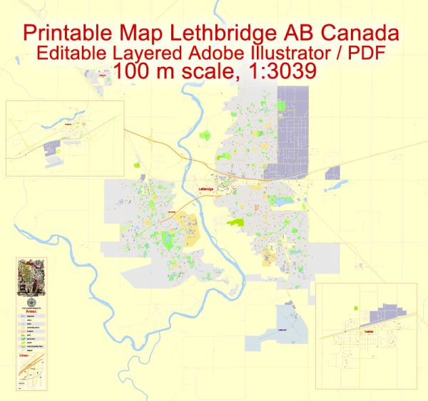
Lethbridge, Coaldale, and Fort Macleod are all located in Alberta, Canada. Here is some information about the water resources and bridges in these areas:
Lethbridge:
- Water Resources: Lethbridge is situated along the Oldman River, which provides a significant water resource for the city. The Oldman River Basin also serves as a source of water for irrigation and other purposes in the region.
- Bridges: Lethbridge is known for its iconic High Level Bridge, a steel trestle bridge that spans the Oldman River. It is one of the highest and longest trestle bridges in the world and is a prominent landmark in the city. Lethbridge also has several other bridges that connect different parts of the city.
Coaldale:
- Water Resources: Coaldale is also located in the Oldman River Basin and has access to water from the Oldman River for various purposes, including agriculture and municipal use.
- Bridges: Coaldale is a smaller town, and it does have some local bridges to facilitate transportation within the town and connect it to nearby areas, but it doesn’t have any prominent bridges like Lethbridge’s High Level Bridge.
Fort Macleod:
- Water Resources: Fort Macleod is located near the junction of the Oldman River and the Belly River, so it has access to water resources from these rivers. Water from these rivers is important for agriculture and municipal use in the region.
- Bridges: Fort Macleod has several bridges to facilitate transportation across the rivers and within the town. The most notable bridge in the area is the Fort Macleod Bridge, which spans the Oldman River and is part of Highway 3, an important transportation route in southern Alberta.
These towns in southern Alberta benefit from the water resources provided by the nearby rivers for agriculture, municipal water supply, and other purposes. The bridges are essential for connecting different parts of the towns and the region, as well as facilitating transportation and commerce.


 Author: Kirill Shrayber, Ph.D.