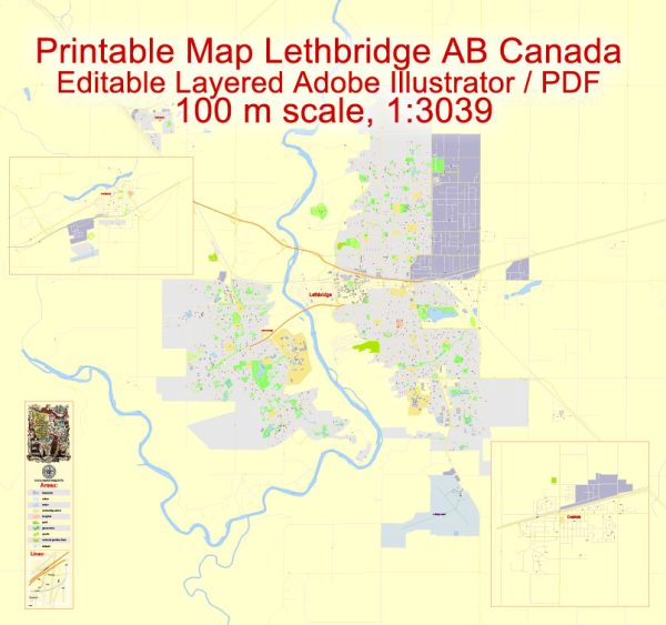
About the principal streets and roads in Lethbridge, Coaldale, and Fort Macleod in Canada. We provide you with the most accurate and up-to-date vector maps in Adobe Illustrator, PDF and other formats, designed for editing and printing. Please read the vector map descriptions carefully.
Lethbridge:
- Mayor Magrath Drive: This is a major north-south artery in Lethbridge, running through the city and connecting various neighborhoods.
- Whoop-Up Drive: It is an important east-west route, offering access to the University of Lethbridge and the west side of the city.
- Scenic Drive: This road provides scenic views of the coulees and the Oldman River.
Coaldale:
- 20th Avenue: As one of the main streets in Coaldale, it connects different parts of the town.
- Main Street: Often the central street in many towns, Main Street in Coaldale likely hosts local businesses and services.
Fort Macleod:
- 2nd Avenue: This is one of the main streets in Fort Macleod, and it may feature historical buildings and businesses.
- 24th Street: Another important street that might run through the town, providing access to different neighborhoods.
For the most accurate and up-to-date information, especially regarding any changes or new developments in the road network, I recommend checking with local government websites or mapping services like Vectormap.Net. Local residents or community forums can also provide insights into the current state of roads and streets in these areas.


 Author: Kirill Shrayber, Ph.D.