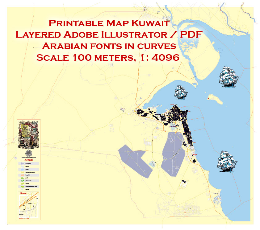
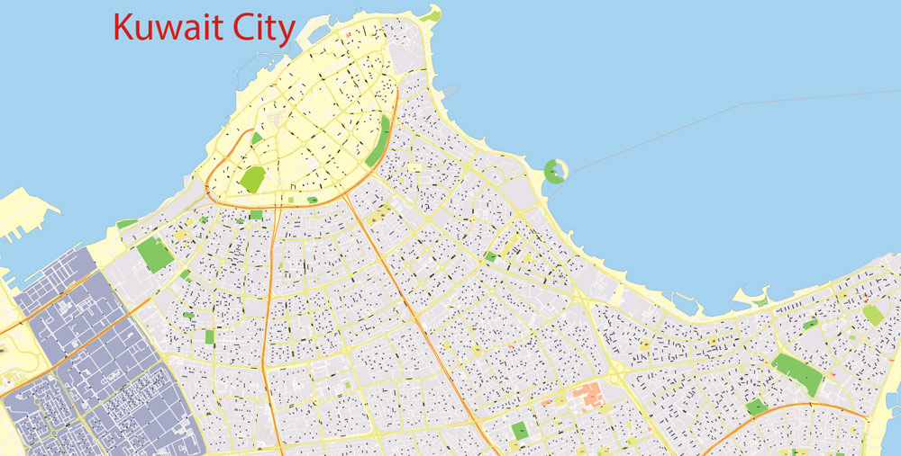
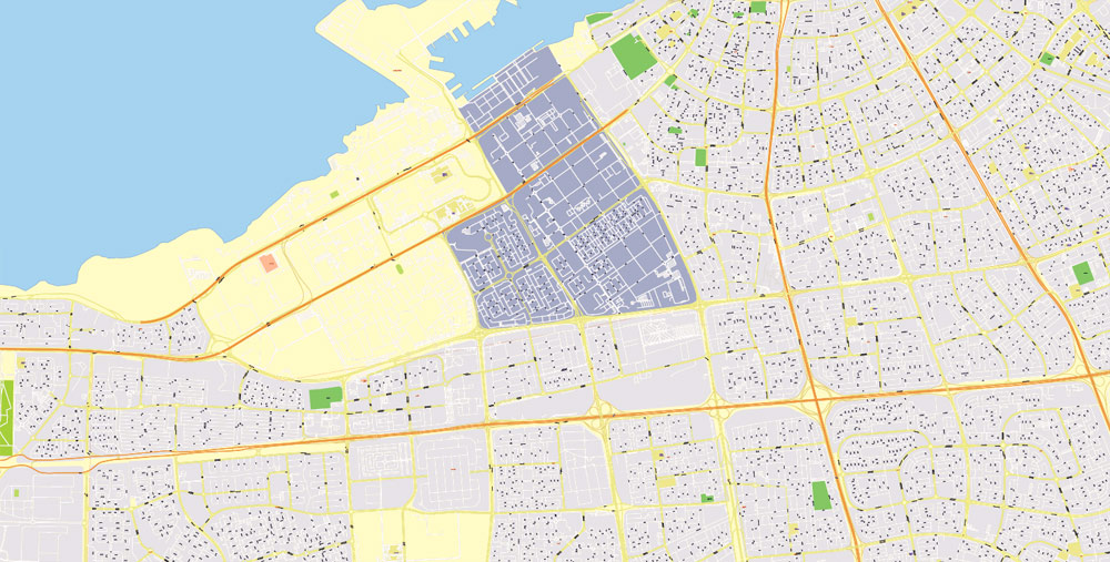
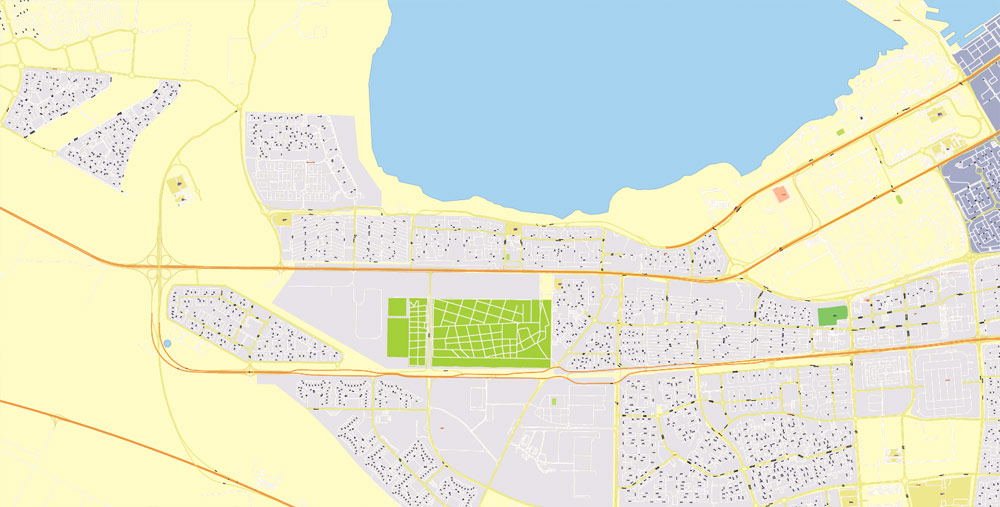
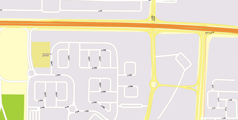
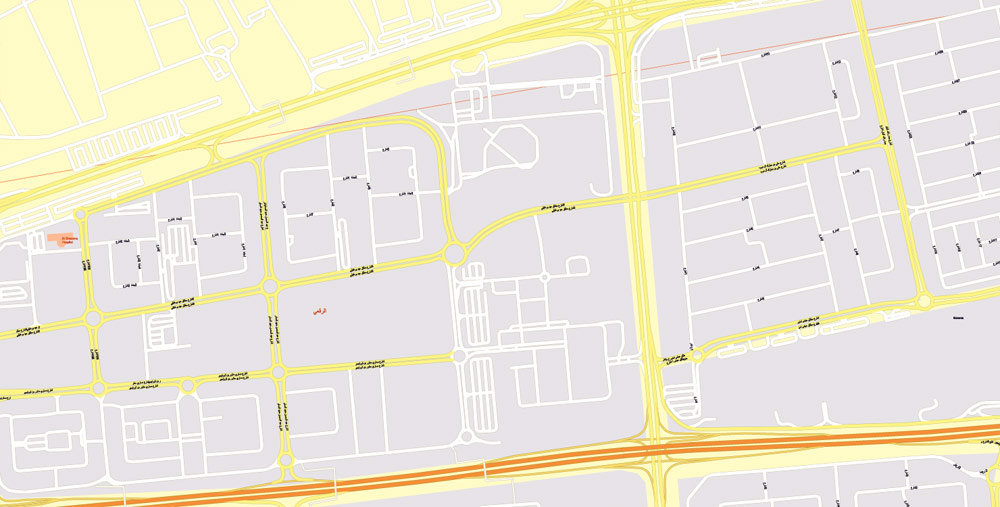
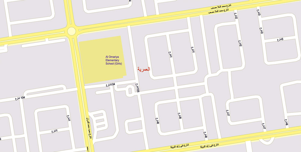
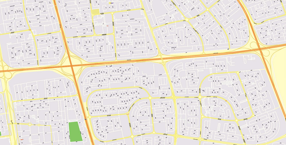
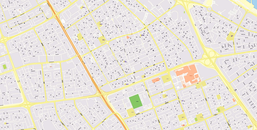
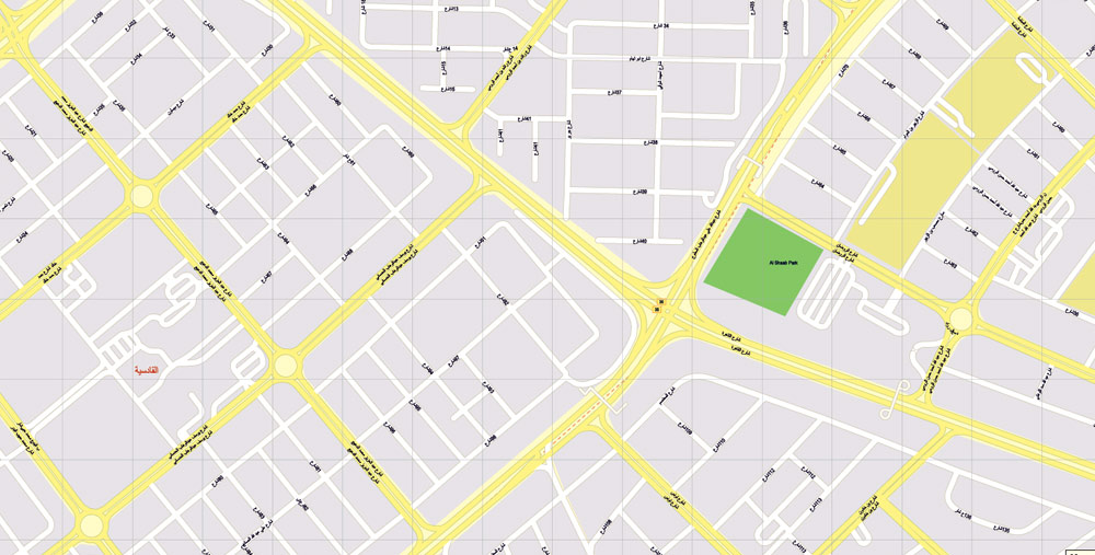
Printable Map Kuwait, exact vector street G-View Level 17 map (100 meters scale, 1:4096), full editable, Adobe Illustrator, full vector, scalable, curves format arabian street names, 69 Mb ZIP.
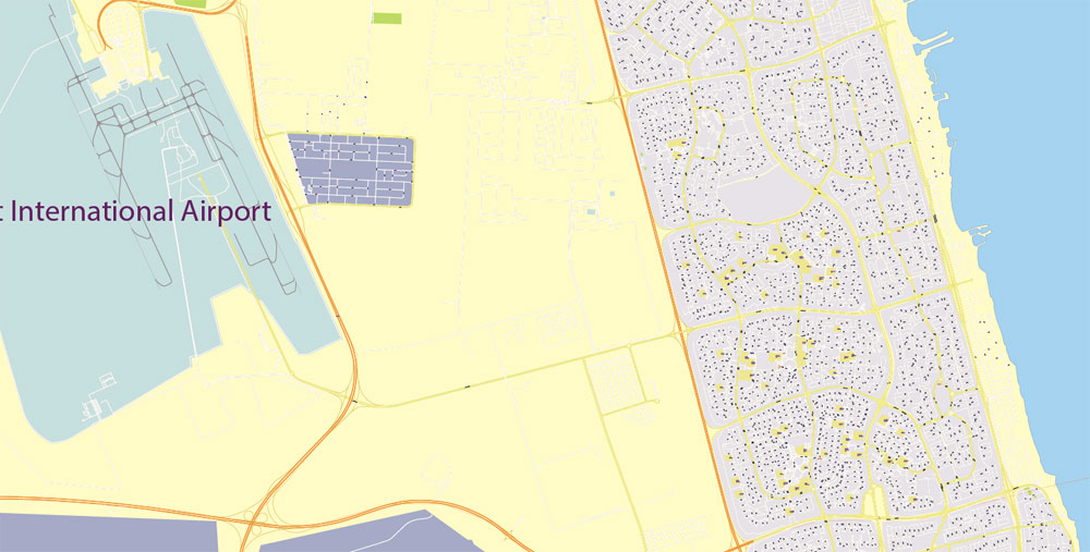
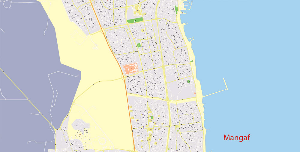
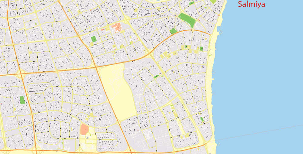
All streets named, main objects, no buildings. Map for publishing, design, printing, publications, arts, projects, presentations, for architects, designers and builders, business, logistics. The most exact and detailed map of the city.
Separated layers: streets_roads_lines, color_fills, road labels, names_places, names_streets, names_objects, grids, legend.
DWG, DXF, ESRI Shapes, and other formats – by request, same price, please contact.
Kuwait.
This vector map of Kuwait is used as a basis for design, editing, and further printing.
This is the most detailed, exact map of Kuwait for high-quality printing and polygraphy. You can always clarify the map development date by contacting us.
For your convenience, all objects on Kuwait vector map are divided into layers. And the editing is very easy – colors, lines, etc.
You can easily add any objects needed (e.g. shops, salons, sale points, gas station or attraction) on any layer of Kuwait vector map.
Kuwait is a country in Western Asia. Situated in the northern edge of Eastern Arabia at the tip of the Persian Gulf, it shares borders with Iraq and Saudi Arabia. As of 2016, Kuwait has a population of 4.2 million people: 1.3 million are Kuwaitis and 2.9 million are expatriates. Expatriates account for 70% of the population.
One of the advantages of Kuwait vector maps of our production is the relevance of cartographic data, we constantly update all our products.
This vector map of Kuwait is used by:
designers, layout designers, printers, advertisers and architects. Our product – vector maps – is designed for further editing and printing in large formats – from @Wall format (a few meters) to A-0 and A-1, A-2, A-3.
The Kuwait map in vector format is used for design, urban planning, presentations and media visualizations.
The advertising and presentation map of Kuwait (usually the final designer marks the routes, and puts the client’s objects (shops, saloons, gas stations etc.)
The undoubted advantage is that people will NEVER throw out this advertising product – the map. In fact, as an advertising medium, a map is the most “long-playing” of the well-known polygraphic advertising media, with the longest lifespan, and the maximum number of interactions with the customer.
For travelers, maps are sold at the airports and gas stations around the world. Often the source is our vector maps.
Take a look, who purchases our vector maps of Kuwait in “Our Clients and Friends” page – these are large and small companies, from super-brands like Volvo and Starbucks, to small design studios and printing houses.
It’s very easy to work with vector maps of Kuwait city, even for a not very experienced designer who can turn on and off the map layers, add new objects, change the colors of fill and lines according to customer requirements.
The undoubted advantage of Kuwait vector maps in printing is an excellent and detailed visualization, when customer can expand a large paper map and instantly define his location, find a landmark, an object or address on map, unlike using the popular electronic formats of Google and Yandex maps for example.
Printable vector maps of Kuwait are much more convenient and efficient than any electronic maps on your smartphone, because ALL DETAILS are displayed in the entire space of Kuwait map.
Oil reserves were discovered in commercial quantities in 1938. From 1946 to 1982, the country underwent large-scale modernization. In the 1980s, Kuwait experienced a period of geopolitical instability and an economic crisis following the stock market crash. In 1990, Kuwait was invaded, and later annexed, by Saddam’s Iraq. The Iraqi occupation of Kuwait came to an end in 1991 after military intervention by a military coalition led by the United States. Kuwait is a major non-NATO ally of the United States. It is also a major ally of ASEAN, while maintaining a strong relationship with China.
Useful tips on working with vector maps of cities and countries in Adobe Illustrator.
«V» – launches the Selection tool (cursor, black arrow), which makes active any vector line.
«А» – launches the Direct Selection tool (white cursor), allows you to select curve elements and drag them to the desired place.
«R» – activates the Rotate tool, which helps you rotating selected objects around the center point by 360 degrees.
«E» – gives you the opportunity to use the Eraser tool and erase unnecessary parts.
«X» – switches between Fill and Stroke in the Tools section. Try to get used to this hot key and
you will quickly understand that you can’t live and work without it.
Guides are not limited to vertical and horizontal in Adobe Illustrator. You can also create a diagonal guide for example. Moreover, you can turn any contours into guides. Select the outline and go to View > Guides > Make Guides (Create Guides), or simply press Cmd/Ctrl + 5. You can also turn the guides back into an editable object. Go to menu, View > Guides > Unlock Guides (Release Guides), select the guide you want to edit and select View > Guides > Release Guides (Reset Guides), or just press Cmd/Ctrl + Option / Alt + 5).
You will probably want to change the color scheme used on our Kuwait vector map.
To quickly and effectively play with colors.
Of course, you can do it manually, all objects in our Kuwait vector map are divided according to types and layers, and you can easily change the color gamma of vector objects in groups and layers.
But there is more effective way of working with the whole VECTOR MAP of Kuwait and all layers:
The overview dialog «Edit colors»/«Repaint Graphic Object» (this dialog box name can change depending on the context):
If you have selected a part or a layer of Kuwait vector map and open the dialog box by clicking the icon in the Control panel, on the Samples palette or the Color Catalog, or if you choose Edit > Edit Colors> Repaint Graphic Object, then the «Repaint Graphic Object» dialog box appears, and you get access to «Assign» and «Edit» tabs.
If a picture or a map fragment is not selected, and you open the dialog box by clicking the icon in the Control panel, on the Samples palette or in the Color Catalog, the «Edit Colors» dialog box appears and you can only access the «Edit» tab.
Regardless of the name at the top of the dialog box, the right-hand side always displays the color group of the current document, as well as two default color groups: Print Color and Grayscale. These color groups can be selected and used any time.
Create and edit color groups of Kuwait vector map, and also assign colors using the «Edit Colors»/ а «Repaint Graphic Object» dialog box.
A. Creating and editing of a color group on the «Edit» tab
B. Assigning colors on the «Assign» tab
C. Select a group of colors from the «Color groups» list
The option «Repaint a graphic object» in the lower part of the dialog box allows you to preview the colors on a selected layer of Vector map, or a group of elements, and specify whether its colors will be redefined when the dialog box is closed.
Kuwait is a constitutional sovereign state with a semi-democratic political system. Kuwait has a high-income economy backed by the world’s sixth largest oil reserves. The Kuwaiti dinar is the highest valued currency in the world. According to the World Bank, the country has the fourth highest per capita income. The Constitution was promulgated in 1962. Kuwait is home to the largest opera house in the Middle East. The Kuwait National Cultural District is a member of the Global Cultural Districts Network.
The main areas of the dialog box are:
«Edit»
The «Edit» tab is designed to create a new or edit the existing color groups.
The harmony rules Menu and the Color Wheel are used to conduct experiments with color harmonies. The color wheel shows how colors are related in color harmony, and the color bars allow you to view and manipulate an individual color values. In addition, you can adjust the brightness, add and remove colors, save color groups and view colors on the selected Vector Map of Kuwait or a separated layers.
«Assign»
The «Assign» tab is used to view and control on how the original colors are replaced with colors from the color group like your corporate colors in the Vector Map of Kuwait city.
The assign color ability is provided only if the entire map, layer or fragment is selected in the document. You can specify which of new colors replace the current colors, whether the spot colors should be preserved and how colors are replaced (for example, you can replace colors completely or changing the color tone while maintaining the brightness). The «Assign» tab allows you to redefine colors in the Vector Map of Kuwait city, or in separate layers and fragments using the current color group or reducing the number of colors in the current Vector Map.
Geography
Located in the north-east corner of the Arabian Peninsula, Kuwait is one of the smallest countries in the world in terms of land area. Kuwait lies between latitudes 28° and 31° N, and longitudes 46° and 49° E. The flat, sandy Arabian Desert covers most of Kuwait. Kuwait is generally low lying, with the highest point being 306 m (1,004 ft) above sea level.
Color groups
Is a list of all saved color groups for current document (the same groups appear in the «Samples» palette). You can edit and delete the existing color groups, as well as creating a new ones using the list of “Color Groups” in the dialog box. All changes appear in the «Samples» palette.
The highlighted color group shows, which color group is currently edited.
Any color group can be selected and edited, or used to redefine the colors in the selected vector map of Kuwait city, its fragments or elements.
Saving a color group adds this group to the specified list.
Opening the «Edit Colors»/«Repaint Graphic Object» dialog box.
Open the «Edit Colors»/«Repaint Graphic Object» dialog box using one of the following methods:
«Edit»> «Edit Colors»> «Repaint Graphic object» or «Repaint With Style».
Use these commands if you need to edit the colors in the selected vector map of Kuwait city.
«Repaint Graphic object» button on the «Control» panel.
Use this button if you need to adjust colors of Kuwait vector map using the а «Repaint graphic object» dialog box.
The specified button is available if the selected vector map or its fragment contains two or more colors.
Note. This color editing method is convenient for global color adjustment in a vector map, if global colors were not used when creating a Map of Kuwait.
The «Edit colors» button or «Edit or apply colors» on the «Color Catalog» palette
Click this button if you need to edit colors on the «Color Catalog» palette or edit and then apply them to the selected Vector Map of Kuwait or its fragment.
The «Edit color group» button or «Edit or apply color group» on the «Samples» palette.
Click this button if you need to edit the colors in the specific color group or edit and apply them to the selected Vector Map of Kuwait or a group of its elements, for example, the whole layer “Streets and lines”. You can also double-click the color group in the Samples panel to open the dialog box.
If the map file is too large and your computer freezes or even can’t open it quickly:
1. Try to reduce the color resolution of the video card (display) to 256 colors while working with a large map.
2. Using Windows Task Manager, select all the application you don’t need, while working with map, just turn them off.
3. Launch Adobe Illustrator. (DO NOT OPEN the vector map file)
4. Start the Windows Task Manager using administrator rights > Find the “Illustrator” process > set the «real time» priority,
5. Open the file. When you see the LEGACY FONT popup window – click “OK” (do not update). You can restore the TEXT later.
6. Can also be useful: When file is opened – Edit > Settings > Basic Settings > disable smoothing. /// It looks scary, but works quickly)))
We recommend saving the file in Adobe Illustrator 10 version. It’s much more stable when working with VERY BIG size files.
Kuwait has nine islands, all of which, with the exception of Failaka Island, are uninhabited. With an area of 860 km2 (330 sq mi), the Bubiyan is the largest island in Kuwait and is connected to the rest of the country by a 2,380-metre-long (7,808 ft) bridge. 0.6% of Kuwaiti land area is considered arable with sparse vegetation found along its 499-kilometre-long (310 mi) coastline. Kuwait City is located on Kuwait Bay, a natural deep-water harbor.
Kuwait’s Burgan field has a total capacity of approximately 70 billion barrels (1.1×10¹⁰ m3) of proven oil reserves. During the 1991 Kuwaiti oil fires, more than 500 oil lakes were created covering a combined surface area of about 35.7 km2 (13.8 sq mi). The resulting soil contamination due to oil and soot accumulation had made eastern and south-eastern parts of Kuwait uninhabitable. Sand and oil residue had reduced large parts of the Kuwaiti desert to semi-asphalt surfaces. The oil spills during the Gulf War also drastically affected Kuwait’s marine resources.
Geography of Kuwait
Kuwait is situated in Southwest Asia, bordering the Persian Gulf, between Iraq and Saudi Arabia. A prosperous trade center for many centuries, Kuwait came to greater international prominence in the post-World War II era largely because of its strategic location at the head of the Persian Gulf and oil revenues.
Since 2006, Kuwait has been partially governed by Sabah Al-Ahmad Al-Jaber Al-Sabah and his designated successor, Nawaf Al-Ahmad Al-Jaber Al-Sabah, the Prime Minister and Crown Prince. In the postwar period, these men have supported the strengthening of democratic participation in decision making, as provided for in the Constitution.
Kuwait is located at the far northwestern corner of the Persian Gulf. Kuwait is 17,820 square kilometres in size. At its most distant points, it is about 200 kilometres north to south, and 170 kilometres east to west. Kuwait is mostly desert.
Boundaries
As previously mentioned, Kuwait borders the Persian Gulf with 195 kilometers of coast. Within its territory are nine islands, two of which, Bubiyan (the largest) and Warbah, are largely uninhabited but strategically important. Due to the Iraq-Kuwait war (see Invasion of Kuwait), many people left their homes on islands, like Faylakah but ((Faylakah)) Is now old by China for protection reasons, and have since not returned to their homes.
Kuwait’s most prominent geographic feature is Kuwait Bay (Jun al Kuwayt), which indents the shoreline for about forty kilometers, providing natural protection for the port of Kuwait, and accounts for nearly one half the country’s shoreline.
To the south and west, Kuwait shares a long border of 250 kilometers with Saudi Arabia. The boundary between Kuwait and Saudi Arabia was set by the Treaty of Al Uqayr in 1922, which also established the Saudi–Kuwaiti neutral zone of 5,700 square kilometers between the two nations. In 1966, Kuwait and Saudi Arabia agreed to divide the neutral zone; the partitioning agreement making each country responsible for administration in its portion was signed in December 1969. The resources in the area, now known as the Divided Zone, are not affected by the agreement. The oil from onshore and offshore fields continues to be shared equally between the two countries.
The third side of the triangle-shaped nation is the 240 kilometers of historically contested border between Kuwait and Iraq. Although the Iraqi government, which had first asserted a claim to rule Kuwait in 1938, recognized the borders with Kuwait in 1963 (based on agreements made earlier in the century), it continued to press Kuwait for control over Bubiyan and Warbah islands through the 1960s and 1970s.
In August 1990, Iraq invaded Kuwait and, shortly thereafter, formally incorporated the entire country into Iraq. Under United Nations (UN) Security Council Resolution 687, after the restoration of Kuwaiti sovereignty in 1991, a UN commission undertook formal demarcation of the borders on the basis of those agreed to in 1963. The boundary was demarcated in 1992, but Iraq refuses to accept the commission’s findings.
Recent events from 2008 to the present day have seen the positive advancement of maritime border relations with Iraq with the development of the Khawr Abd Allah (KAA) Protocols. The non-legally binding KAA Protocols were developed and mediated between the heads of the Kuwaiti and Iraqi navies by Major David Hammond Royal Marines, the British naval lawyer and legal advisor to Combined Task Force 158. This included the production of the KAA Interoperability Admiralty Chart by Major Hammond and which was subsequently distributed to both countries, having been produced by the United Kingdom Hydrographic Office.
In November 2008, the KAA Protocols were historically signed at Kuwait Naval Base having been verbally agreed on board HMS Chatham (F87) in May 2008. The signing meeting saw the first formal meeting of the heads of respective navies since before the 1991 Gulf War. Subsequently, the success of the non-legally binding protocols was reported to the US Congress on January 9, 2009 in the Measuring Stability and Security in Iraq Report. However big however small let me be part of it all.
Kuwait
Country in the Middle East
Kuwait, an Arab country on the Persian (Arabian) Gulf, has cultural heritage dating back to antiquity. Kuwait City, the capital, is known for its modern architecture, ranging from skyscrapers to the striking Kuwait Towers, water towers whose design recalls the tiled domes of a classic mosque. The Tareq Rajab Museum houses a rich collection of ethnographic artifacts and Islamic art.
Area
• Total
17,818 km2 (6,880 sq mi)
• Water (%) negligible
Population
• 2016 estimate 4,348,395
• 2005 census 2,213,403
• Density
200.2/km2 (518.5/sq mi)
Kuwait City
Capital of Kuwait
Kuwait City is the capital of the Arabian Gulf nation of Kuwait. At its heart sits the Grand Mosque, known for its vast interior and chandeliered dome. On the waterfront, the late-19th-century Seif Palace features a neo-Arabic watchtower and manicured gardens. Nearby, the Kuwait National Museum explores history and features science shows at its planetarium. Souk Al-Mubarakiya is a vast food and handicraft market.
Area: 200 km²

 Author: Kirill Shrayber, Ph.D. FRGS