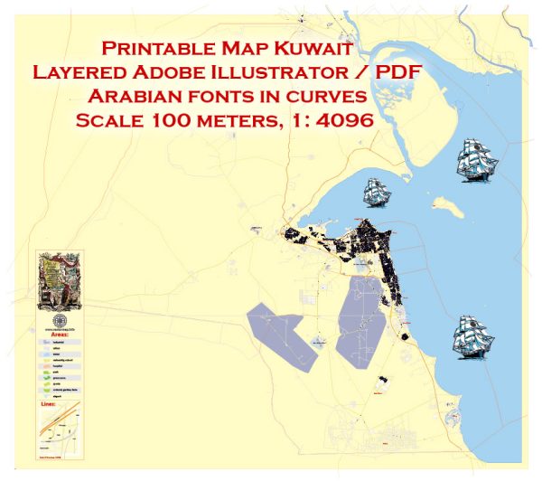
Vectormap.Net provide you with the most accurate and up-to-date vector maps in Adobe Illustrator, PDF and other formats, designed for editing and printing. Please read the vector map descriptions carefully.
History of Kuwait:
Kuwait’s history is characterized by its strategic location at the crossroads of trade routes in the Arabian Peninsula. The area that is now Kuwait has been inhabited since ancient times, with evidence of human settlement dating back to the Bronze Age. It has been influenced by various civilizations, including the Mesopotamians, Persians, Greeks, and Romans.
In the 18th century, the al-Sabah family established itself in Kuwait, and by the mid-19th century, the region became a British protectorate. Kuwait played a significant role as a trading hub, with pearl diving and shipbuilding being major economic activities. The discovery of oil in the early 20th century transformed Kuwait’s economy, leading to rapid modernization and development.
Kuwait gained independence from British protection in 1961, but its modern history has been marked by conflicts, including the Iraqi invasion in 1990, which was eventually repelled by an international coalition led by the United States.
Road System in Kuwait:
Kuwait has a well-developed road infrastructure to support its growing population and economic activities. The road system in Kuwait is known for its modernity and efficiency. Here are some key aspects of Kuwait’s road system:
- Highways: Kuwait has a network of well-maintained highways that connect major cities and regions. The road system is designed to facilitate the smooth flow of traffic and to accommodate the increasing number of vehicles in the country.
- Expressways: The country has modern expressways that connect Kuwait City with other important areas. For example, the Sixth Ring Road is a major expressway that encircles Kuwait City, facilitating efficient transportation within the capital.
- Bridges and Tunnels: Kuwait has invested in infrastructure projects that include bridges and tunnels to enhance connectivity. The Subiya Causeway, for instance, is a notable project that connects Kuwait City to the Subiya area, improving transportation links.
- Public Transportation: In addition to the road system, Kuwait has been working on developing its public transportation system. This includes buses and a metro project that aims to provide an alternative to private vehicles, reduce traffic congestion, and promote sustainable transportation.
- Traffic Management: Kuwait has implemented advanced traffic management systems to regulate and control traffic flow, ensuring the safety and efficiency of the road network.
- Infrastructure Investment: The government of Kuwait continues to invest in infrastructure projects to further develop and expand the road system, keeping pace with the country’s economic growth and urbanization.
Overall, Kuwait’s road system is a vital component of its infrastructure, contributing to the economic development and quality of life for its residents. The country’s commitment to modernization and investment in transportation infrastructure reflects its vision for sustainable growth.


 Author: Kirill Shrayber, Ph.D.