Printable Birmingham Map Vector UK England exact detailed City Plan 100 meters scale V.14.02 editable Street Map Adobe Illustrator, full vector, scalable, editable text format of street names, 23 Mb ZIP.
All streets named, main objects Map for publishing, design, printing, publications, arts, projects, presentations, for architects, designers and builders, business, logistics. The most exact and detailed map.
Separated layers: streets and roads, color fills, arrows streets, names 1,2,3, water objects, scales, grids, legend.
For High Quality printing
DWG, DXF, CDR, ESRI Shapes, and other formats – by request, same price, please contact.
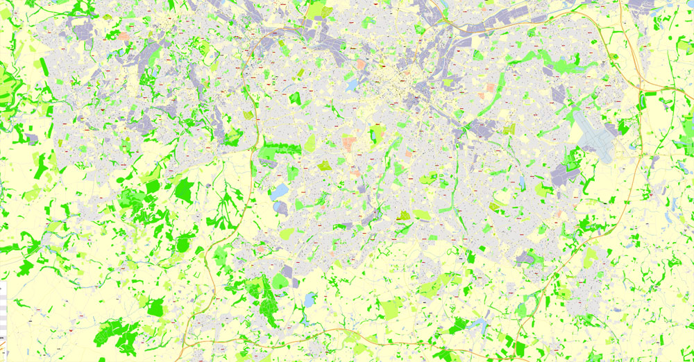
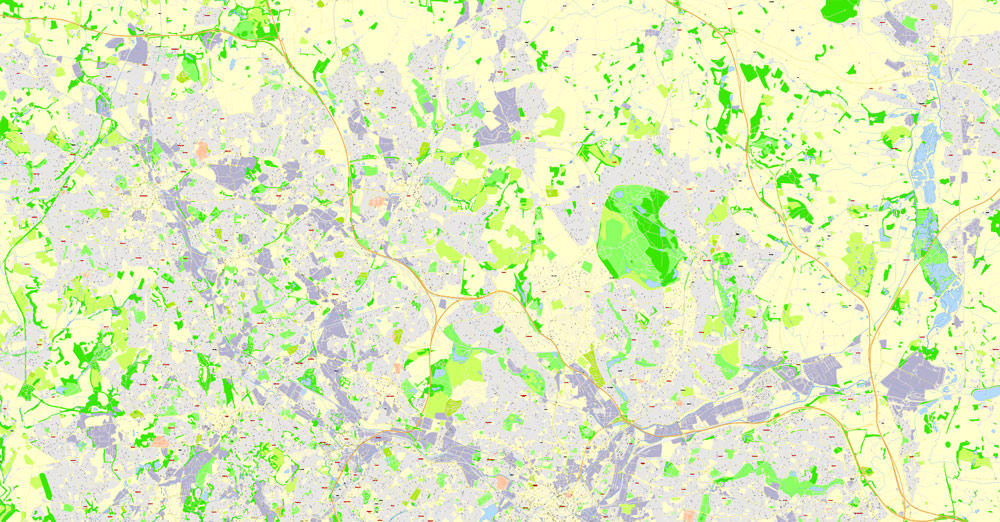
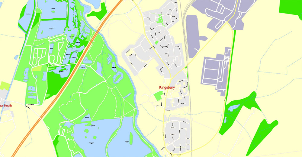
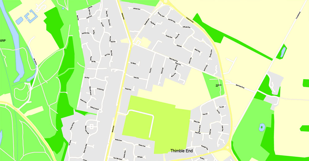
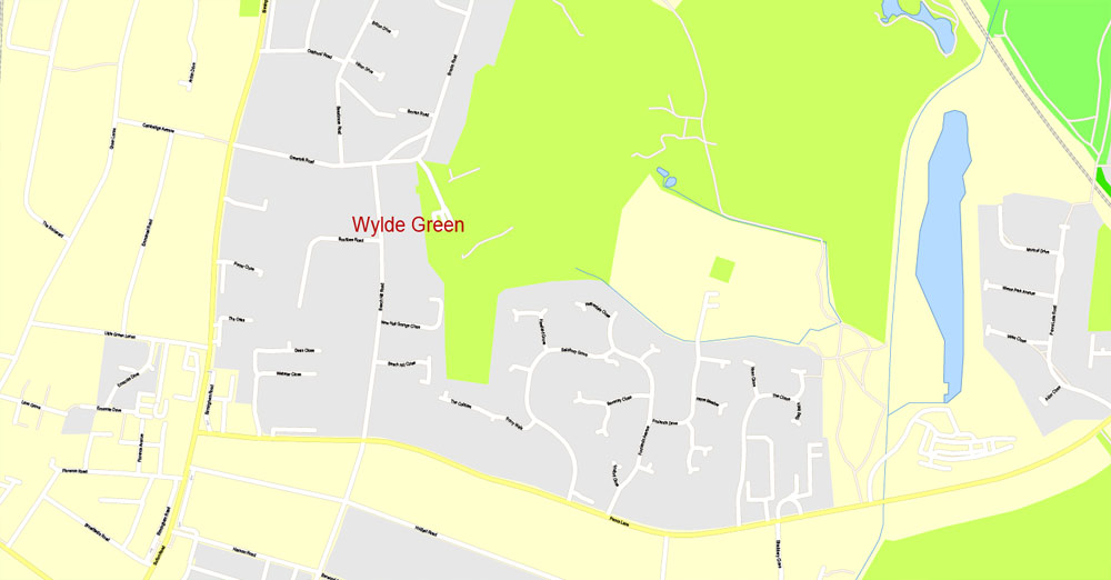
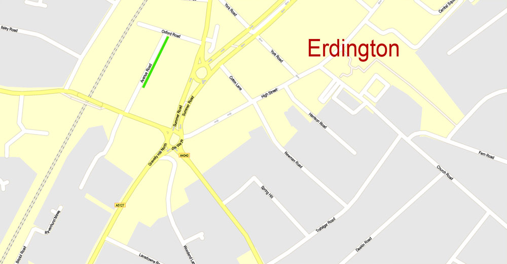
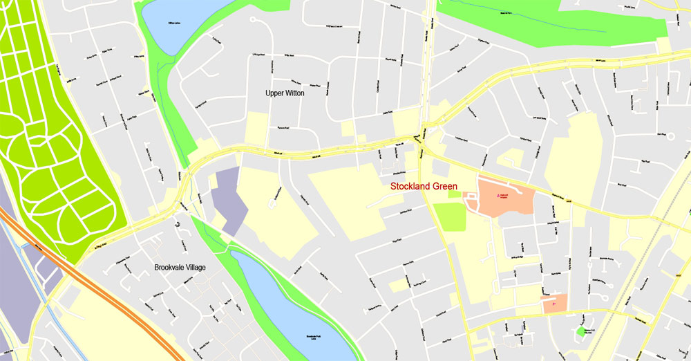
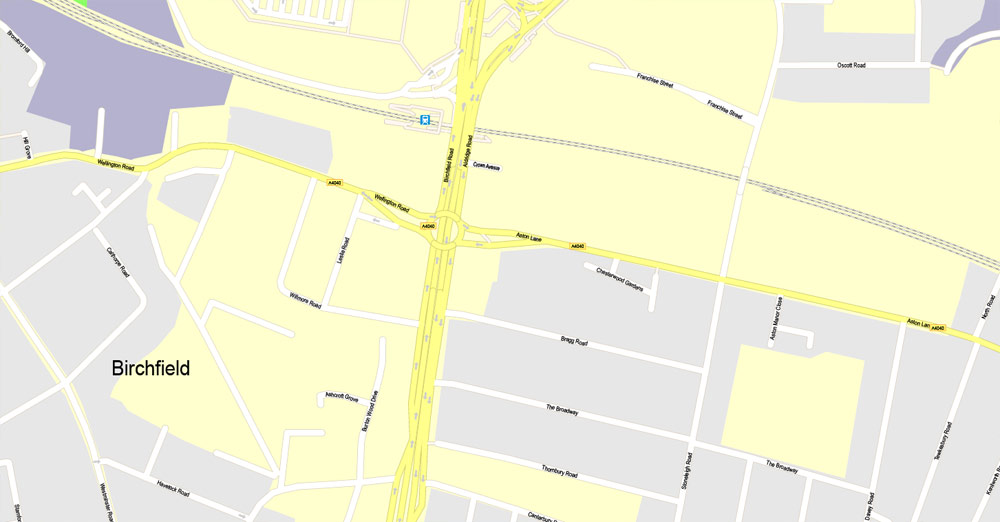
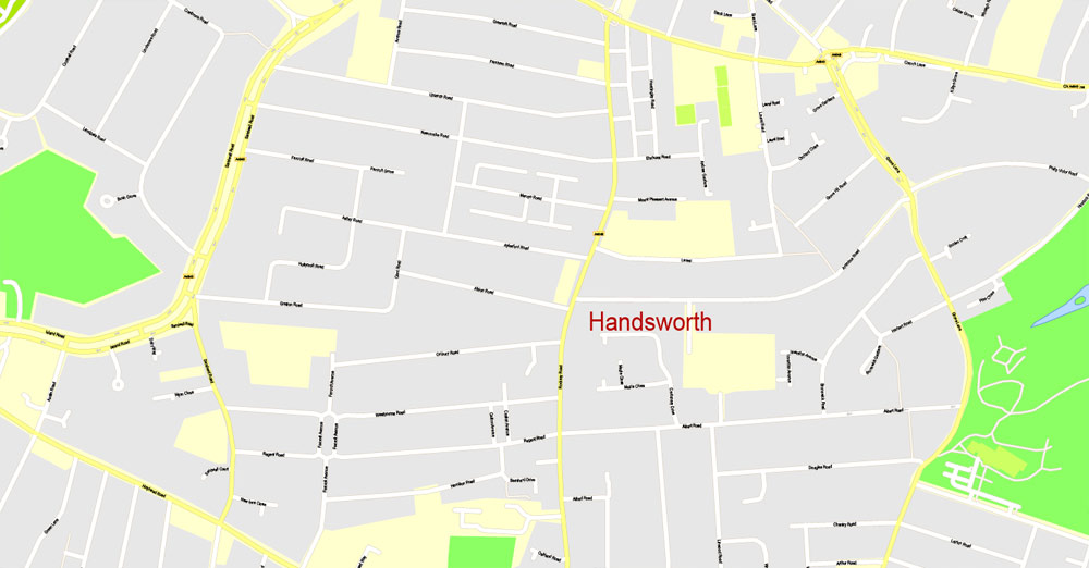
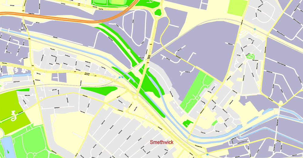
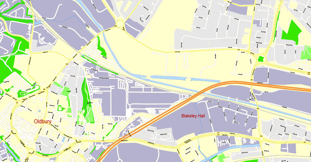
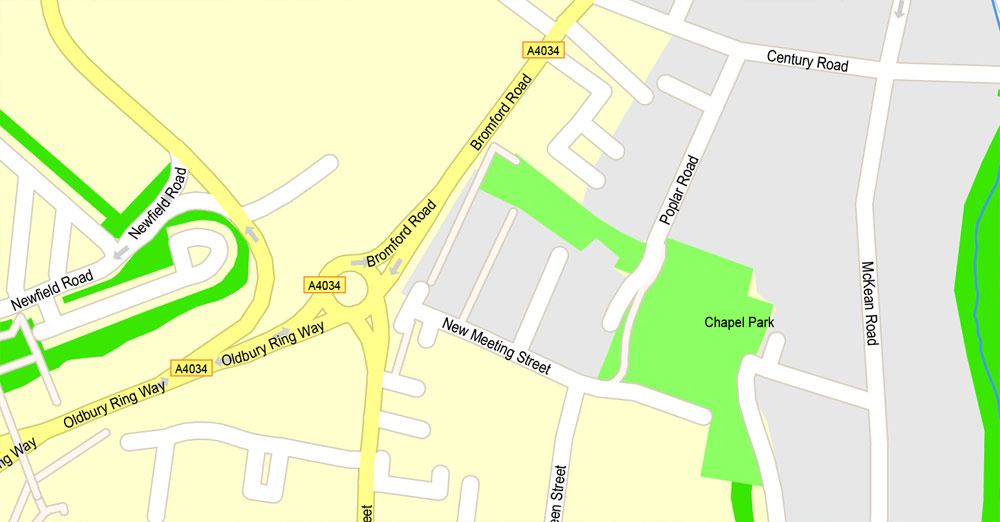
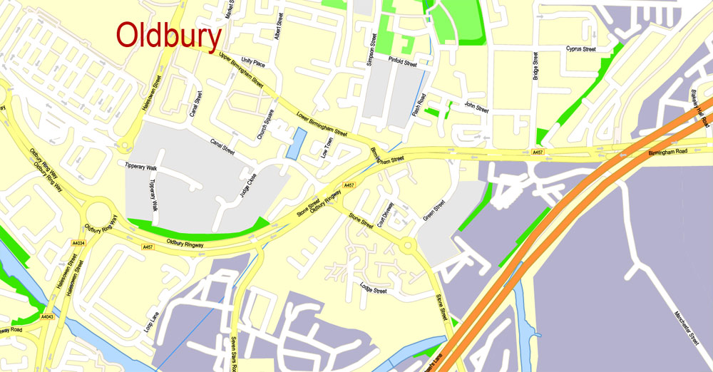
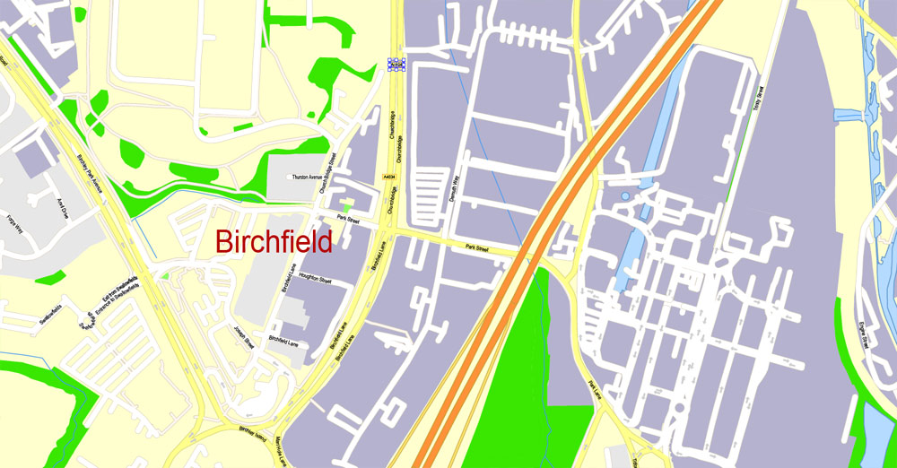
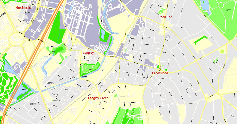
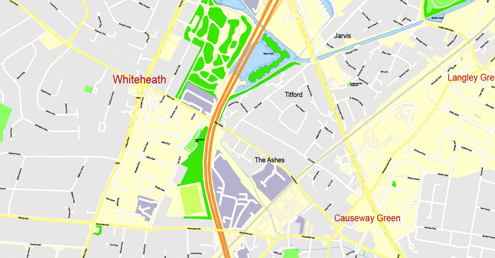
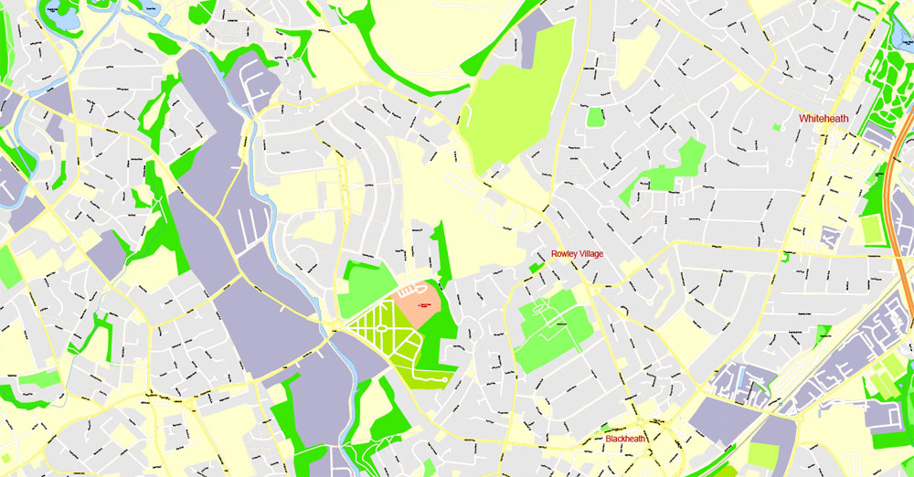
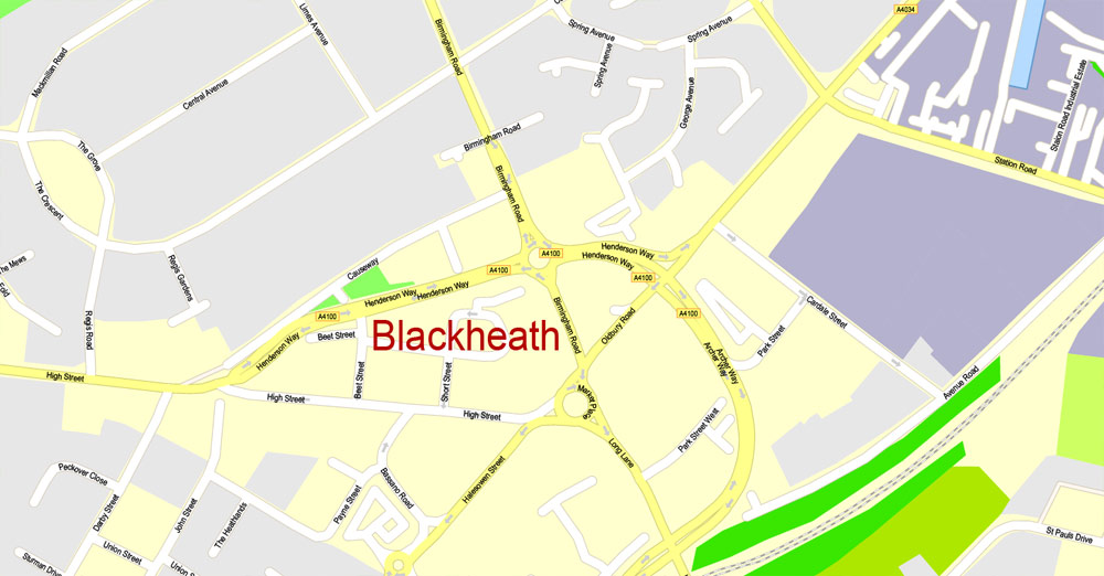
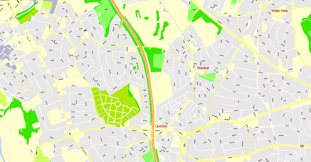
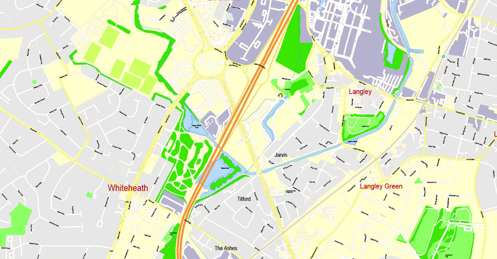
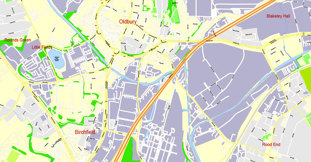
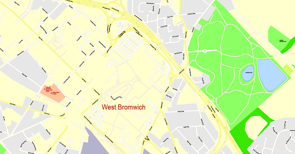
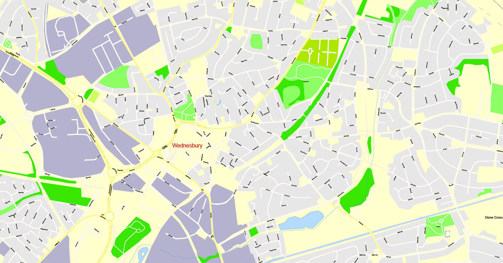
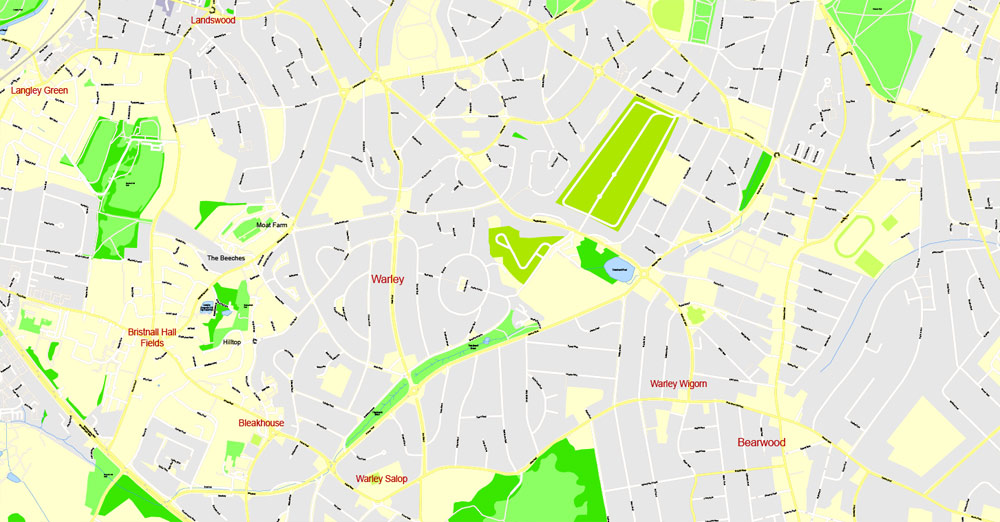
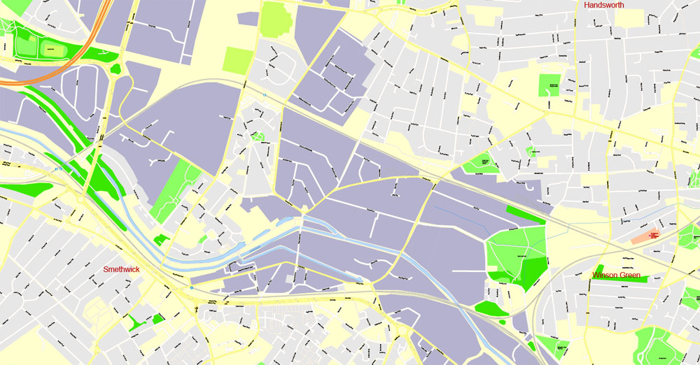
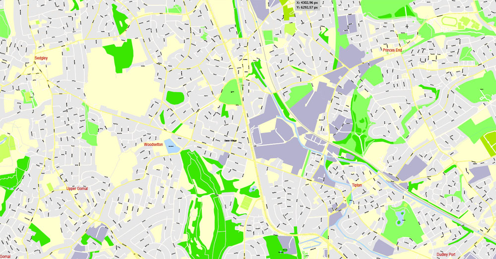
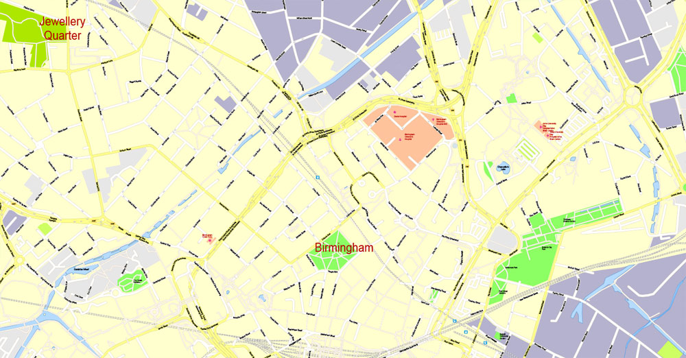
Birmingham, United Kingdom.
This vector map of Birmingham city is used as a basis for design, editing, and further printing.
This is the most detailed, exact map of Birmingham city for high-quality printing and polygraphy. You can always clarify the map development date by contacting us.
For your convenience, all objects on Birmingham vector city map are divided into layers. And the editing is very easy – colors, lines, etc.
You can easily add any objects needed (e.g. shops, salons, sale points, gas station or attraction) on any layer of Birmingham vector map.
Birmingham is the second-most populous city in the United Kingdom, after London, and the most populous city in the English Midlands. With an estimated population of 1,137,100 as of 2017, Birmingham is the cultural, social, financial and commercial centre of the Midlands. It is the main centre of the West Midlands conurbation, which is the third most populated urban area in the United Kingdom, with a population in 2011 of 2,440,986. The wider Birmingham metropolitan area is the second largest in the United Kingdom with a population of over 3.7 million. Birmingham is frequently referred to as the United Kingdom’s “second city”.
One of the advantages of Birmingham city vector maps of our production is the relevance of cartographic data, we constantly update all our products.
This vector map of Birmingham city is used by:
designers, layout designers, printers, advertisers and architects. Our product – vector maps – is designed for further editing and printing in large formats – from @Wall format (a few meters) to A-0 and A-1, A-2, A-3.
The Birmingham city map in vector format is used for design, urban planning, presentations and media visualizations.
The advertising and presentation map of Birmingham city (usually the final designer marks the routes, and puts the client’s objects (shops, saloons, gas stations etc.)
The undoubted advantage is that people will NEVER throw out this advertising product – the map. In fact, as an advertising medium, a city map is the most “long-playing” of the well-known polygraphic advertising media, with the longest lifespan, and the maximum number of interactions with the customer.
For travelers, maps are sold at the airports and gas stations around the world. Often the source is our vector maps.
Take a look, who purchases our vector maps of Birmingham city in “Our Clients and Friends” page – these are large and small companies, from super-brands like Volvo and Starbucks, to small design studios and printing houses.
It’s very easy to work with vector maps of Birmingham city, even for a not very experienced designer who can turn on and off the map layers, add new objects, change the colors of fill and lines according to customer requirements.
The undoubted advantage of Birmingham city vector maps in printing is an excellent and detailed visualization, when customer can expand a large paper map and instantly define his location, find a landmark, an object or address on map, unlike using the popular electronic formats of Google and Yandex maps for example.
Printable vector maps of Birmingham city are much more convenient and efficient than any electronic maps on your smartphone, because ALL DETAILS are displayed in the entire space of Birmingham city map.
Useful tips on working with vector maps of cities and countries in Adobe Illustrator.
«V» – launches the Selection tool (cursor, black arrow), which makes active any vector line.
«А» – launches the Direct Selection tool (white cursor), allows you to select curve elements and drag them to the desired place.
«R» – activates the Rotate tool, which helps you rotating selected objects around the center point by 360 degrees.
«E» – gives you the opportunity to use the Eraser tool and erase unnecessary parts.
«X» – switches between Fill and Stroke in the Tools section. Try to get used to this hot key and
you will quickly understand that you can’t live and work without it.
Guides are not limited to vertical and horizontal in Adobe Illustrator. You can also create a diagonal guide for example. Moreover, you can turn any contours into guides. Select the outline and go to View > Guides > Make Guides (Create Guides), or simply press Cmd/Ctrl + 5. You can also turn the guides back into an editable object. Go to menu, View > Guides > Unlock Guides (Release Guides), select the guide you want to edit and select View > Guides > Release Guides (Reset Guides), or just press Cmd/Ctrl + Option / Alt + 5).
You will probably want to change the color scheme used on our Birmingham vector city map.
To quickly and effectively play with colors.
Of course, you can do it manually, all objects in our Birmingham city vector map are divided according to types and layers, and you can easily change the color gamma of vector objects in groups and layers.
But there is more effective way of working with the whole VECTOR MAP of Birmingham city and all layers:
The overview dialog «Edit colors»/«Repaint Graphic Object» (this dialog box name can change depending on the context):
If you have selected a part or a layer of Birmingham city vector map and open the dialog box by clicking the icon in the Control panel, on the Samples palette or the Color Catalog, or if you choose Edit > Edit Colors> Repaint Graphic Object, then the «Repaint Graphic Object» dialog box appears, and you get access to «Assign» and «Edit» tabs.
If a picture or a map fragment is not selected, and you open the dialog box by clicking the icon in the Control panel, on the Samples palette or in the Color Catalog, the «Edit Colors» dialog box appears and you can only access the «Edit» tab.
Regardless of the name at the top of the dialog box, the right-hand side always displays the color group of the current document, as well as two default color groups: Print Color and Grayscale. These color groups can be selected and used any time.
Create and edit color groups of Birmingham city vector map, and also assign colors using the «Edit Colors»/ а «Repaint Graphic Object» dialog box.
A. Creating and editing of a color group on the «Edit» tab
B. Assigning colors on the «Assign» tab
C. Select a group of colors from the «Color groups» list
The option «Repaint a graphic object» in the lower part of the dialog box allows you to preview the colors on a selected layer of Vector map, or a group of elements, and specify whether its colors will be redefined when the dialog box is closed.
A market town in the medieval period, Birmingham grew in the 18th-century Midlands Enlightenment and subsequent Industrial Revolution, which saw advances in science, technology, and economic development, producing a series of innovations that laid many of the foundations of modern industrial society. By 1791 it was being hailed as “the first manufacturing town in the world”. Birmingham’s distinctive economic profile, with thousands of small workshops practising a wide variety of specialised and highly skilled trades, encouraged exceptional levels of creativity and innovation and provided an economic base for prosperity that was to last into the final quarter of the 20th century. The Watt steam engine was invented in Birmingham.
The main areas of the dialog box are:
«Edit»
The «Edit» tab is designed to create a new or edit the existing color groups.
The harmony rules Menu and the Color Wheel are used to conduct experiments with color harmonies. The color wheel shows how colors are related in color harmony, and the color bars allow you to view and manipulate an individual color values. In addition, you can adjust the brightness, add and remove colors, save color groups and view colors on the selected Vector Map of Birmingham city or a separated layers.
«Assign»
The «Assign» tab is used to view and control on how the original colors are replaced with colors from the color group like your corporate colors in the Vector Map of Birmingham city.
The assign color ability is provided only if the entire map, layer or fragment is selected in the document. You can specify which of new colors replace the current colors, whether the spot colors should be preserved and how colors are replaced (for example, you can replace colors completely or changing the color tone while maintaining the brightness). The «Assign» tab allows you to redefine colors in the Vector Map of Birmingham city, or in separate layers and fragments using the current color group or reducing the number of colors in the current Vector Map.
The resulting high level of social mobility also fostered a culture of political radicalism which, under leaders from Thomas Attwood to Joseph Chamberlain, was to give it a political influence unparalleled in Britain outside London, and a pivotal role in the development of British democracy. From the summer of 1940 to the spring of 1943, Birmingham was bombed heavily by the German Luftwaffe in what is known as the Birmingham Blitz. The damage done to the city’s infrastructure, in addition to a deliberate policy of demolition and new building by planners, led to extensive urban regeneration in subsequent decades.
Color groups
Is a list of all saved color groups for current document (the same groups appear in the «Samples» palette). You can edit and delete the existing color groups, as well as creating a new ones using the list of “Color Groups” in the dialog box. All changes appear in the «Samples» palette.
The highlighted color group shows, which color group is currently edited.
Any color group can be selected and edited, or used to redefine the colors in the selected vector map of Birmingham city, its fragments or elements.
Saving a color group adds this group to the specified list.
Opening the «Edit Colors»/«Repaint Graphic Object» dialog box.
Open the «Edit Colors»/«Repaint Graphic Object» dialog box using one of the following methods:
«Edit»> «Edit Colors»> «Repaint Graphic object» or «Repaint With Style».
Use these commands if you need to edit the colors in the selected vector map of Birmingham city.
«Repaint Graphic object» button on the «Control» panel.
Use this button if you need to adjust colors of Birmingham city vector map using the а «Repaint graphic object» dialog box.
Birmingham’s economy is now dominated by the service sector. The city is a major international commercial centre, ranked as a gamma+ world city by the Globalization and World Cities Research Network; and an important transport, retail, events and conference hub. Its metropolitan economy is the second largest in the United Kingdom with a GDP of $121.1bn (2014), and its six universities make it the largest centre of higher education in the country outside London. Birmingham’s major cultural institutions – the City of Birmingham Symphony Orchestra, the Birmingham Royal Ballet, the Birmingham Repertory Theatre, the Library of Birmingham and the Barber Institute of Fine Arts – enjoy international reputations, and the city has vibrant and influential grassroots art, music, literary and culinary scenes. Birmingham is the fourth-most visited city in the UK by foreign visitors.
The specified button is available if the selected vector map or its fragment contains two or more colors.
Note. This color editing method is convenient for global color adjustment in a vector map, if global colors were not used when creating a City Map of Birmingham.
The «Edit colors» button or «Edit or apply colors» on the «Color Catalog» palette
Click this button if you need to edit colors on the «Color Catalog» palette or edit and then apply them to the selected Vector Map of Birmingham city or its fragment.
The «Edit color group» button or «Edit or apply color group» on the «Samples» palette.
Click this button if you need to edit the colors in the specific color group or edit and apply them to the selected Vector Map of Birmingham city or a group of its elements, for example, the whole layer “Streets and lines”. You can also double-click the color group in the Samples panel to open the dialog box.
If the map file is too large and your computer freezes or even can’t open it quickly:
1. Try to reduce the color resolution of the video card (display) to 256 colors while working with a large map.
2. Using Windows Task Manager, select all the application you don’t need, while working with map, just turn them off.
3. Launch Adobe Illustrator. (DO NOT OPEN the vector map file)
4. Start the Windows Task Manager using administrator rights > Find the “Illustrator” process > set the «real time» priority,
5. Open the file. When you see the LEGACY FONT popup window – click “OK” (do not update). You can restore the TEXT later.
6. Can also be useful: When file is opened – Edit > Settings > Basic Settings > disable smoothing. /// It looks scary, but works quickly)))
We recommend saving the file in Adobe Illustrator 10 version. It’s much more stable when working with VERY BIG size files.
People from Birmingham are called Brummies, a term derived from the city’s nickname of “Brum”, which originates from the city’s old name, Brummagem, which in turn is thought to have derived from “Bromwich-ham”. The Brummie accent and dialect are particularly distinctive.
Geography
Birmingham is located in the centre of the West Midlands region of England on the Birmingham Plateau – an area of relatively high ground, ranging between 500 and 1,000 feet (150 and 300 metres) above sea level and crossed by Britain’s main north-south watershed between the basins of the Rivers Severn and Trent. To the south west of the city lie the Lickey Hills, Clent Hills and Walton Hill, which reach 1,033 feet (315 m) and have extensive views over the city. Birmingham is drained only by minor rivers and brooks, primarily the River Tame and its tributaries the Cole and the Rea.
The City of Birmingham forms a conurbation with the largely residential borough of Solihull to the south east, and with the city of Wolverhampton and the industrial towns of the Black Country to the north west, which form the West Midlands Built-up Area covering 59,972 ha (600 km2; 232 sq mi). Surrounding this is Birmingham’s metropolitan area – the area to which it is closely economically tied through commuting – which includes the former Mercian capital of Tamworth and the cathedral city of Lichfield in Staffordshire to the north; the industrial city of Coventry and the Warwickshire towns of Nuneaton, Warwick and Leamington Spa to the east; and the Worcestershire towns of Redditch and Bromsgrove to the south west.
Much of the area now occupied by the city was originally a northern reach of the ancient Forest of Arden, whose former presence can still be felt in the city’s dense oak tree-cover and in the large number of districts such as Moseley, Saltley, Yardley, Stirchley and Hockley with names ending in “-ley”: the Old English -lēah meaning “woodland clearing”.
Birmingham
City in England
Birmingham is a major city in England’s West Midlands region, with multiple Industrial Revolution-era landmarks that speak to its 18th-century history as a manufacturing powerhouse. It’s also home to a network of canals, many of which radiate from Sherborne Wharf and are now lined with trendy cafes and bars. In the city centre, the Birmingham Museum and Art Gallery is known for pre-Raphaelite masterpieces.
Area
• City 103.39 sq mi (267.77 km2)
• Urban 231.2 sq mi (598.9 km2)
Elevation 460 ft (140 m)
Population
• City 1,101,360
• Rank 1st, English districts
• Density 10,620/sq mi (4,102/km2)
• Urban 2,440,986 (3rd)
• Metro 3,701,107 (2nd)
Small guide: How to work with the vector map?
You can: Mass select objects by type and color – for example, the objects type “building” (they are usually dark gray) – and remove them from the map, if you do not need them in your print or design project. You can also easily change the thickness of lines (streets), just bulk selection the road by the line color.
The streets are separated by type, for example, type “residential road” are usually white with a gray stroke. Highway usually orange with a brown or dark gray stroke.
It is easy to change the font of inscriptions, all or each individually. Also, just can be make and any other manipulation of objects on the vector map in Adobe illustrator format.
Important: All the proportions on the map are true, that is, the relative sizes of the objects are true, because Map is based on an accurate GPS projection, and It transated into the (usual for all) the Mercator projection.
You can easily change the color, stroke and fill of any object on the map, zoom without loss of quality Image Verification.


 Author: Kirill Shrayber, Ph.D. FRGS

