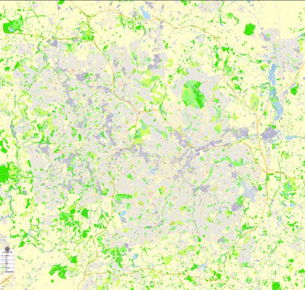
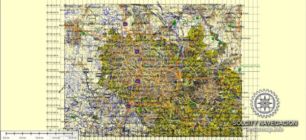
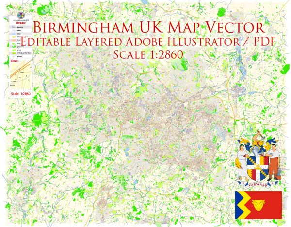
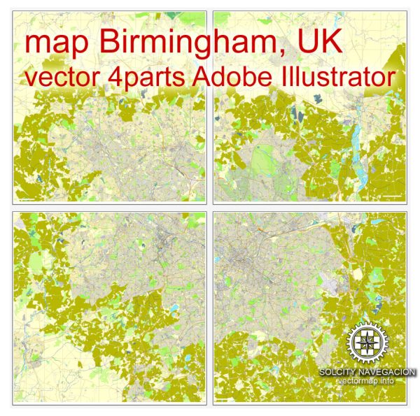
A general overview of the economic and transportation aspects of Birmingham, UK.
Vectormap.Net provide you with the most accurate and up-to-date vector maps in Adobe Illustrator, PDF and other formats, designed for editing and printing. Please read the vector map descriptions carefully.
Economic Overview:
- Diversified Economy: Birmingham has a diverse and dynamic economy. Historically known for its manufacturing and industrial sectors, the city has successfully transitioned to a more service-oriented economy. Key sectors include finance, business services, manufacturing, and retail.
- Financial Services: Birmingham is home to a growing financial services sector. Several national and international banks and financial institutions have a presence in the city, contributing to its economic vitality.
- Manufacturing: Although the city’s manufacturing base has decreased over the years, it still plays a significant role in Birmingham’s economy. The manufacturing sector focuses on automotive, aerospace, and advanced engineering.
- Innovation and Technology: The city has been actively promoting innovation and technology, with the establishment of various business incubators and technology parks. This has attracted startups and contributed to the growth of the tech sector.
- Retail and Tourism: Birmingham has a vibrant retail scene, with the Bullring shopping center being a prominent attraction. Additionally, the city’s cultural offerings, such as museums, galleries, and events, contribute to its tourism sector.
Transportation Overview:
- Road Network: Birmingham is well-connected by road, with major motorways like the M6, M5, and M42 passing through or near the city. The road network facilitates easy transportation within the city and to other parts of the country.
- Public Transport: Public transportation in Birmingham includes buses and trains. The West Midlands Railway operates the local train services, connecting Birmingham with surrounding areas. The Midland Metro tram system provides an additional mode of transportation within the city.
- Birmingham New Street Station: Birmingham New Street is one of the busiest railway stations in the UK, providing connections to various cities across the country. It underwent significant redevelopment to enhance its facilities and capacity.
- Birmingham Airport: Birmingham Airport is an international airport serving the city and the surrounding region. It offers flights to various domestic and international destinations, contributing to the city’s connectivity.
- Future Developments: The city has been investing in transportation infrastructure, including the expansion of the Midland Metro, improvements to the road network, and plans for High-Speed 2 (HS2), a high-speed rail project that will further connect Birmingham to London and the North.


 Author: Kirill Shrayber, Ph.D.