Extended Description of the Vector Map
The City of Pittsburgh, PA is located west of the Appalachian Mountains in the Appalachian Plateaus Province. The relatively flat surface of the plateau is dissected by drainage from the three principal rivers of the region, the Allegheny, Monongahela, and Ohio. The formation of Pittsburgh’s three rivers and drainages has a long history dating back to before the Pleistocene Epoch, linked closely to the advance and retreat of continental glaciation.
Western Pennsylvania is associated with the westernmost formation of the Appalachian Mountain chain with deformation in the form of a series of nearly flat-lying, gently warped Paleozoic sedimentary rocks. Rocks cropping out in the region range in age from Devonian to Permian. Pennsylvanian strata are dominated by thin cyclic sequences of sandstone, shale, claystone, coal, and limestone. Most of the geologic hazards present in the region include slope instability, expansive shales and slags, mine subsidence, acid mine drainage, pyritic acid rock and flooding. The region also has an abundance of natural resources including coal, natural gas, oil, salt, limestone, sand and gravel and water.
Pittsburgh’s strategic location helped shape westward expansion during the formation of the Nation, largely because of the rivers, which served as an inexpensive, yet efficient means of transportation. Infrastructure was always significant in Pittsburgh.
However, the existing aging infrastructure are deteriorating. Today, Pittsburgh has transcended the legacy name, “Steel City” and has revitalized itself with nationally-recognized universities and medical centers and a resurgence in natural gas exploration. However, many environmental legacy issues still burden the area. www.pubs.geoscienceworld.org
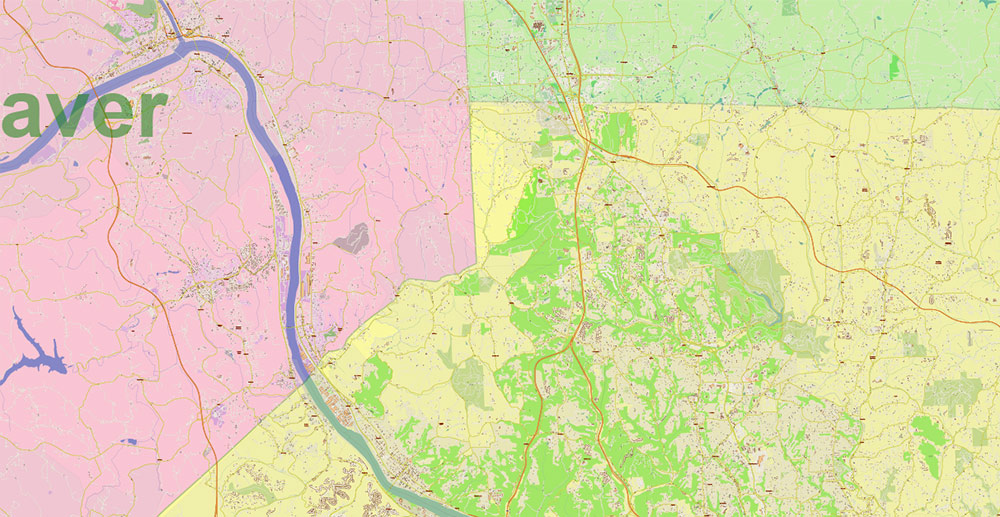
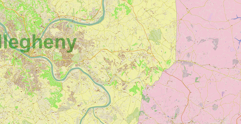
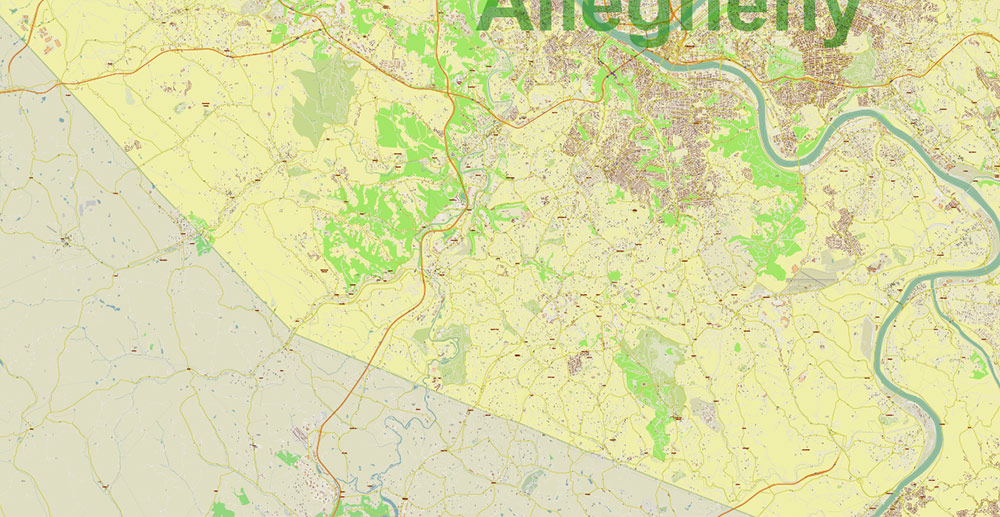
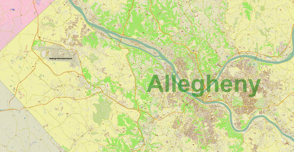
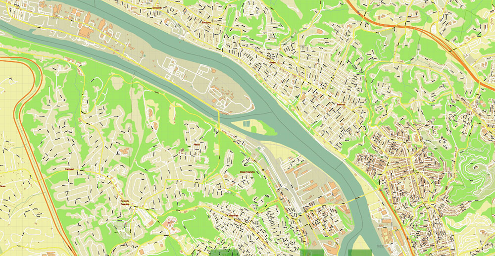
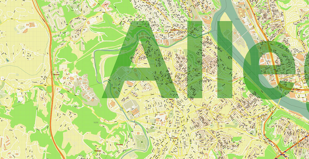
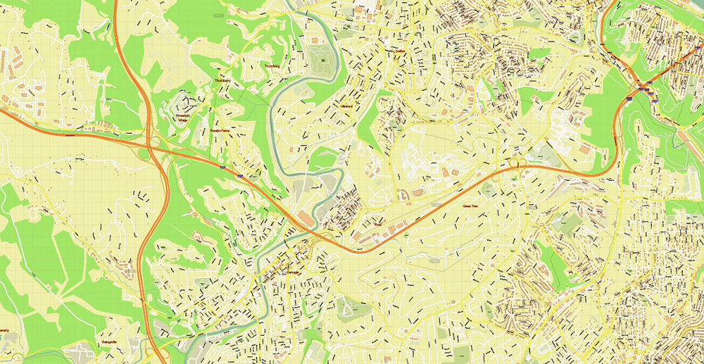
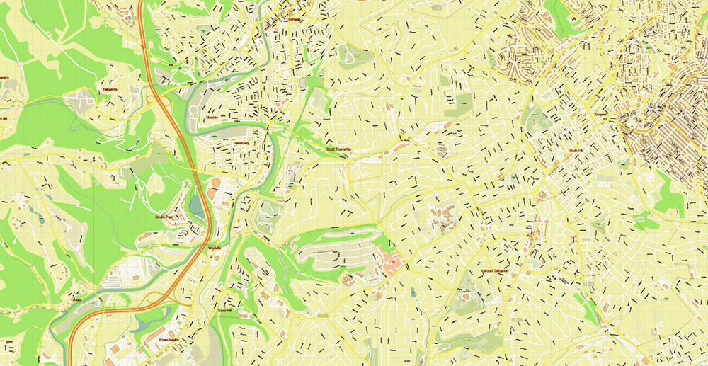
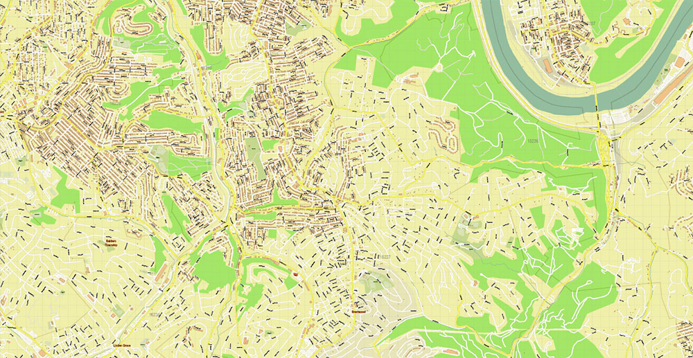
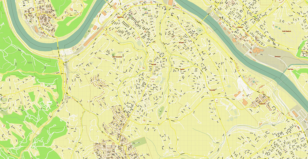
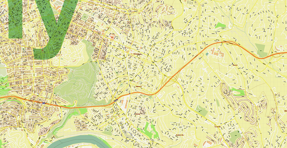
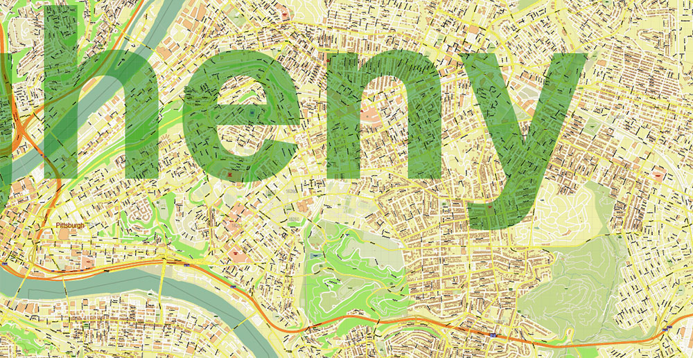
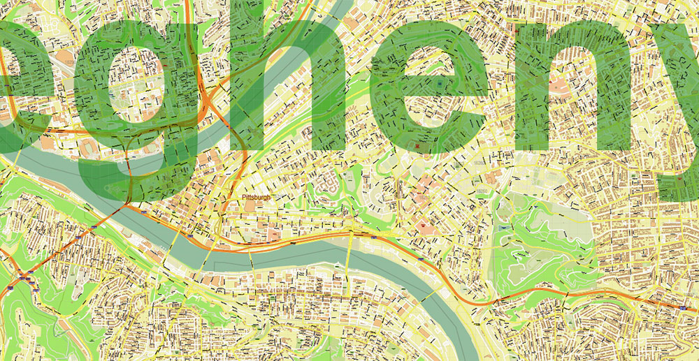
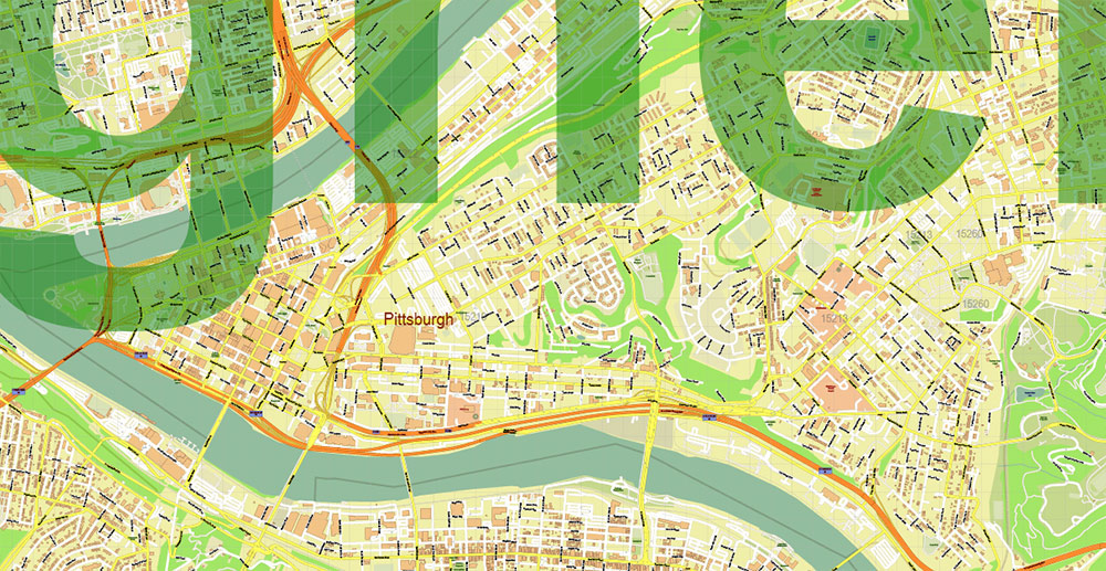
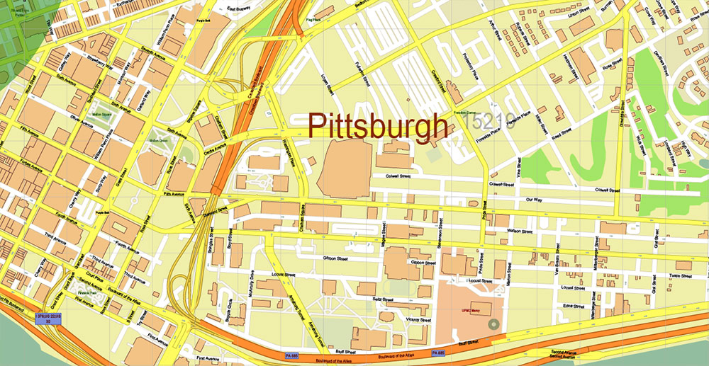
Printable Vector Map of Pittsburgh Pennsylvania Metro Area + ZIP codes + Counties areas, detailed City Plan scale 1:3576 full editable Adobe Illustrator Street Map in layers, scalable, text format all names, 63 MB ZIP
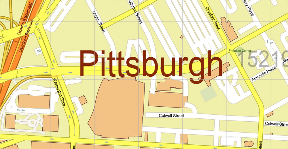
All street names, Main Objects, Buildings, Counties. Map for design, printing, arts, projects, presentations, for architects, designers, and builders, business, logistics.
If you need: We can add some objects to this map (add-on layers)
Free for our customers.
Need AutoCAD DWG / DXF or any other format? Please, contact us!
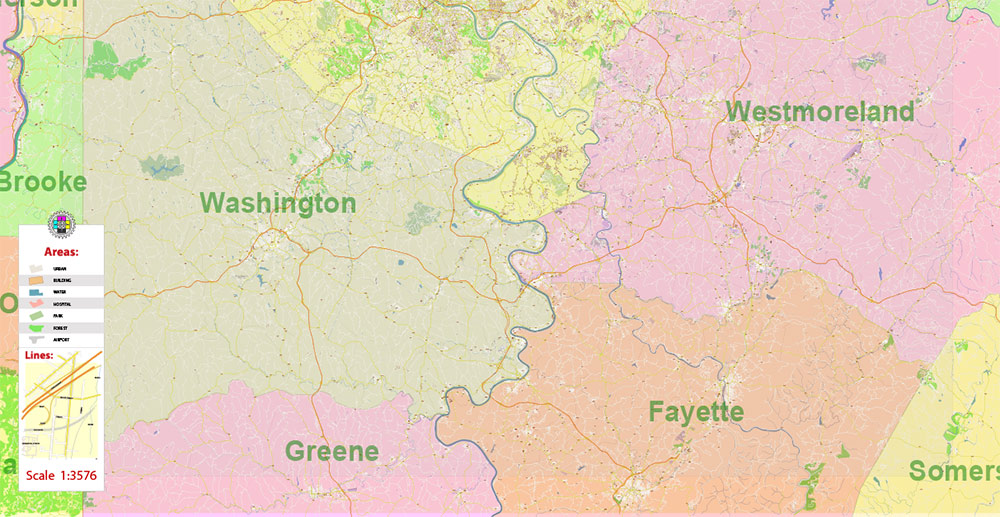
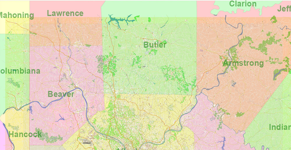
Map covered area:
Layers list:
- Legend
- Grids
- Labels of roads
- Names of places (city, hamlet, etc.)
- Names of objects (hospitals, parks, water)
- ZIP-codes numbers
- Names of main streets
- Names of civil streets
- Arrows of street drive direction
- Main Streets, roads
- Civil streets
- Railroads
- Buildings
- Airports and heliports
- Water objects (rivers, lakes, ponds)
- Waterways
- Color fills (parks, hospital areas, land use, etc.)
- ZIP-codes areas
- Names Counties
- Counties areas
- Background
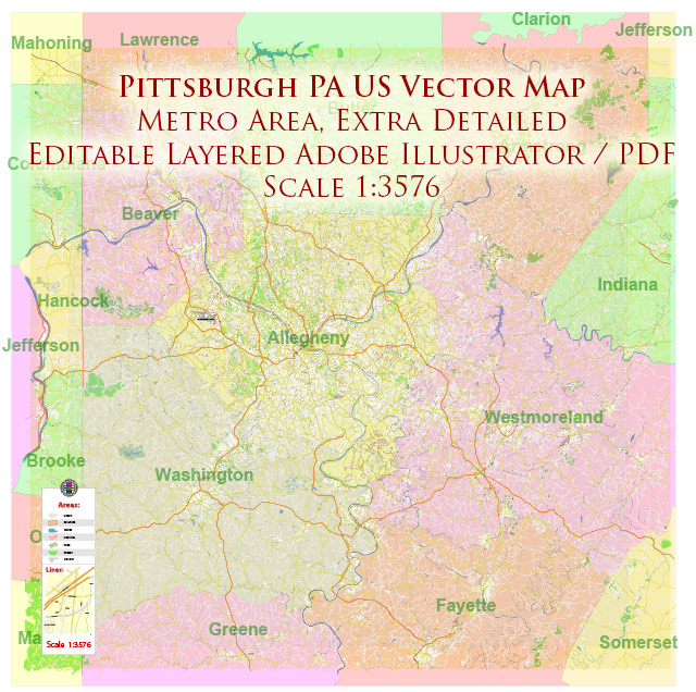
Pittsburgh Pennsylvania Metro Area Map Vector Exact State Plan High Detailed Road Map + Counties + Zipcodes editable Adobe Illustrator in layers
Pittsburgh Pennsylvania Metro Area Map Vector Exact State Plan High Detailed Road Map + Counties + Zipcodes editable Adobe Illustrator in layers
Pittsburgh Pennsylvania Metro Area Map Vector Exact State Plan High Detailed Road Map + Counties + Zipcodes editable Adobe Illustrator in layers
Pittsburgh Pennsylvania Metro Area Map Vector Exact State Plan High Detailed Road Map + Counties + Zipcodes editable Adobe Illustrator in layers
Pittsburgh Pennsylvania Metro Area Map Vector Exact State Plan High Detailed Road Map + Counties + Zipcodes editable Adobe Illustrator in layers

Pittsburgh Pennsylvania Metro Area Map Vector Exact State Plan High Detailed Road Map + Counties + Zipcodes editable Adobe Illustrator in layers
Pittsburgh Pennsylvania Metro Area Map Vector Exact State Plan High Detailed Road Map + Counties + Zipcodes editable Adobe Illustrator in layers
Pittsburgh Pennsylvania Metro Area Map Vector Exact State Plan High Detailed Road Map + Counties + Zipcodes editable Adobe Illustrator in layers
Pittsburgh Pennsylvania Metro Area Map Vector Exact State Plan High Detailed Road Map + Counties + Zipcodes editable Adobe Illustrator in layers
Pittsburgh Pennsylvania Metro Area Map Vector Exact State Plan High Detailed Road Map + Counties + Zipcodes editable Adobe Illustrator in layers
Pittsburgh Pennsylvania Metro Area Map Vector Exact State Plan High Detailed Road Map + Counties + Zipcodes editable Adobe Illustrator in layers
Pittsburgh Pennsylvania Metro Area Map Vector Exact State Plan High Detailed Road Map + Counties + Zipcodes editable Adobe Illustrator in layers
Pittsburgh Pennsylvania Metro Area Map Vector Exact State Plan High Detailed Road Map + Counties + Zipcodes editable Adobe Illustrator in layers
Pittsburgh Pennsylvania Metro Area Map Vector Exact State Plan High Detailed Road Map + Counties + Zipcodes editable Adobe Illustrator in layers
Pittsburgh Pennsylvania Metro Area Map Vector Exact State Plan High Detailed Road Map + Counties + Zipcodes editable Adobe Illustrator in layers
Pittsburgh Pennsylvania Metro Area Map Vector Exact State Plan High Detailed Road Map + Counties + Zipcodes editable Adobe Illustrator in layers
Pittsburgh Pennsylvania Metro Area Map Vector Exact State Plan High Detailed Road Map + Counties + Zipcodes editable Adobe Illustrator in layers
Pittsburgh Pennsylvania Metro Area Map Vector Exact State Plan High Detailed Road Map + Counties + Zipcodes editable Adobe Illustrator in layers
Pittsburgh Pennsylvania Metro Area Map Vector Exact State Plan High Detailed Road Map + Counties + Zipcodes editable Adobe Illustrator in layers
Pittsburgh Pennsylvania Metro Area Map Vector Exact State Plan High Detailed Road Map + Counties + Zipcodes editable Adobe Illustrator in layers

 Author: Kirill Shrayber, Ph.D. FRGS


