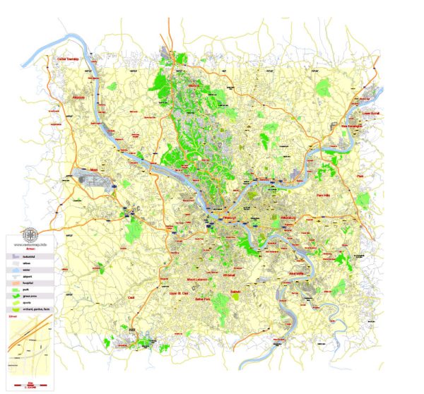
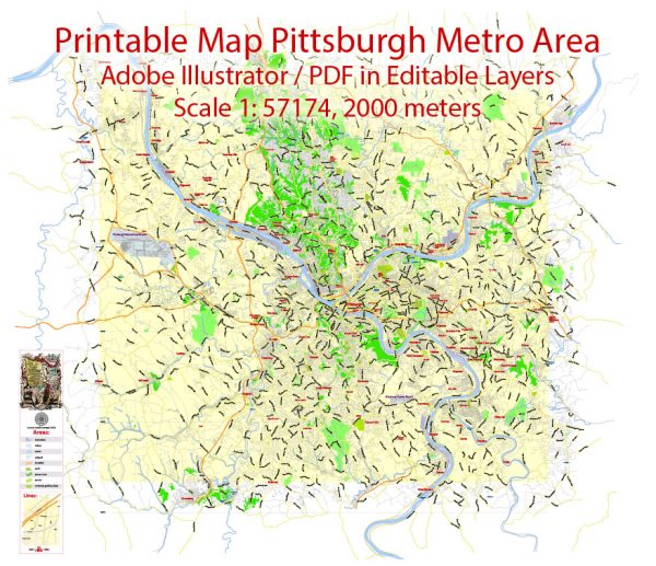
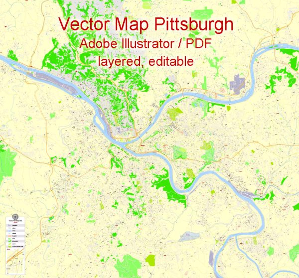
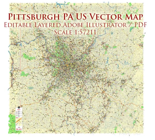
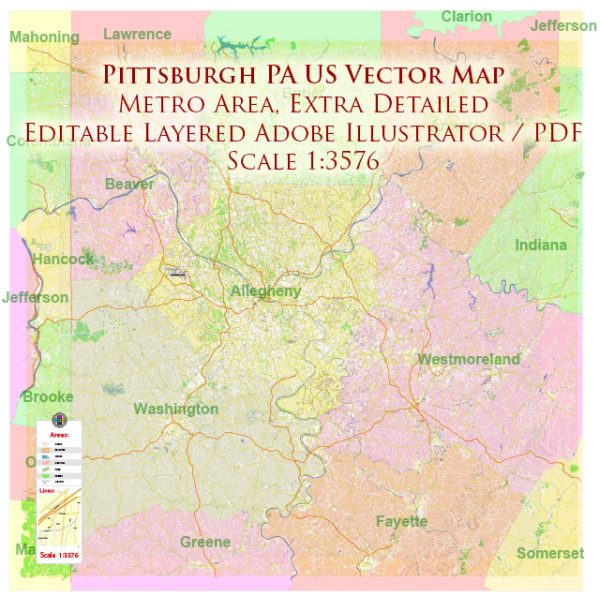
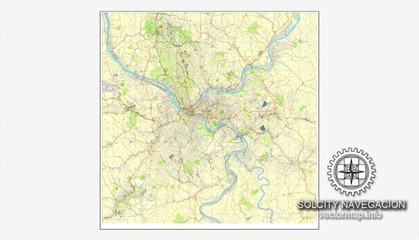
Pittsburgh, Pennsylvania, is known for its unique topography, being situated at the confluence of the Allegheny, Monongahela, and Ohio Rivers. The city is characterized by hills and valleys, which have influenced its street layout and the development of distinct neighborhoods.
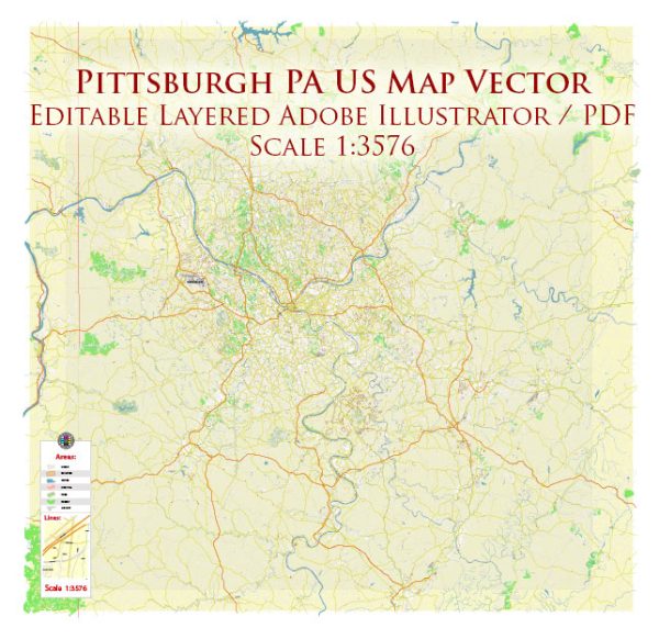
Vectormap.Net provide you with the most accurate and up-to-date vector maps in Adobe Illustrator, PDF and other formats, designed for editing and printing. Please read the vector map descriptions carefully.
Here is a brief overview of some of the key districts, communities, and features of Pittsburgh:
Districts:
- Downtown Pittsburgh:
- The central business district with skyscrapers, corporate offices, and cultural institutions.
- Includes Point State Park at the confluence of the three rivers.
- Cultural District hosts theaters, galleries, and entertainment venues.
- North Shore:
- Located across the Allegheny River from Downtown.
- Home to Heinz Field (football) and PNC Park (baseball).
- Offers parks, restaurants, and recreational activities along the riverfront.
- South Side:
- Divided into South Side Flats and South Side Slopes.
- South Side Flats is known for its vibrant nightlife, shops, and restaurants.
- South Side Slopes offers panoramic views of the city.
- Oakland:
- Home to the University of Pittsburgh and Carnegie Mellon University.
- Cultural and educational hub with museums, libraries, and research centers.
- Shadyside:
- A residential and commercial district known for its upscale shops and historic architecture.
- Shadyside is popular for its tree-lined streets and diverse community.
- Squirrel Hill:
- A diverse neighborhood known for its cultural attractions and shopping.
- Home to a significant Jewish community and a variety of restaurants.
- East Liberty:
- Underwent revitalization with new developments, shops, and restaurants.
- Known for its historic architecture and community-oriented atmosphere.
- Lawrenceville:
- A trendy neighborhood with a mix of historic and modern elements.
- Offers a thriving arts scene, boutiques, and a variety of dining options.
Communities:
- Strip District:
- A historic market district with ethnic food markets, shops, and restaurants.
- Known for its vibrant atmosphere, especially on weekends.
- Bloomfield:
- Often referred to as Pittsburgh’s “Little Italy.”
- Known for its Italian restaurants and a close-knit community.
Street System:
- Grid System:
- Downtown features a grid system with numbered streets and avenues.
- As you move away from the central business district, the topography influences a less regular street layout.
- Bridges and Tunnels:
- Due to the rivers and hills, numerous bridges and tunnels connect different parts of the city.
- Some well-known bridges include the Roberto Clemente Bridge and the Andy Warhol Bridge.
- Boulevards:
- Major roads like Forbes Avenue and Fifth Avenue traverse various neighborhoods, connecting different districts.
Pittsburgh’s street system can be challenging to navigate due to its hilly terrain and winding streets. However, each neighborhood has its unique charm and character, making the city a diverse and interesting place to explore.

 Author: Kirill Shrayber, Ph.D.