Philadelphia is the sixth most populous city in the United States and one of the oldest cities in America. Located in the state of Pennsylvania in the east of the country, just 72 km southwest of New York City.
“The City of Brotherly Love” — so the name Philadelphia is translated from Greek, which corresponds to the idealistic mood of the Quakers, who called themselves ” friends” or “brothers”. It was laid out in 1682, and its founder, William Penn, was inspired by the legend of Babylon during the construction.
Philly, as the city is also called, is one of the most important financial, political and economic centers of the country. In 1790, Philadelphia became the first capital of the United States.
Benjamin Franklin is the most famous resident of Philadelphia.
Philadelphia has a humid continental climate with occasional subtropical variations. In summer, it is moderately hot here (+22…+25 °C), and in winter it is moderately cold (-1…+3 °C). The average annual precipitation is 1000 mm.
Philadelphia is served by four metro lines, which include 85 stations.
The Market-Frankford Blue Line runs in the city center from west to east (under Market Street).
The Orange branch of Broad Street is laid from north to south, it is mostly underground and goes under the street of the same name Broad Street.
The PATCO (Port Authority Transit Company) Red Line runs between Philadelphia and Camden, New Jersey.
The Norristown Express Green Line runs westward almost parallel to the Market-Frankford line.
Less popular and convenient modes of transport are buses and trams.
One of the main attractions of the city is Independence Hall, where the Declaration of Independence was adopted in 1776, and the US Constitution was adopted in 1787. Next to the Independence Hall in the Liberty Bell Center pavilion is the Liberty Bell, a symbol of U.S. independence. It was his ringing on July 8, 1776, that announced the Declaration of Independence. Here is also the Hall of Congress, where the “Bill of Rights” was signed.
Just a few blocks away are such key buildings for the history and appearance of Philadelphia as the First Bank of the United States and the Second Bank of the United States — a complex of buildings of the 18th and 19th centuries, where the National Portrait Gallery is now located, the buildings of the Customs House (Philadelphia Custom House) and the stock exchange (Merchants’ Exchange). It is also home to the Betsy Ross House, where, according to legend, the first US flag was created.
Elfreth’s Alley is the oldest in the United States. It preserves 30 houses built in 1728-1836. Here is the Church of St. George (1763-69) — the oldest Methodist church in the United States, the Christ Church, which was visited by Benjamin Franklin and George Washington, and the old Church of Joseph — major religious attractions of the city. The architectural complex surrounds Girard Fountain Park. Surrounded by alleys, squares, and a park, this neighborhood is considered the historic center of Philadelphia.
Well-known attractions far beyond Philly also include the Powell House, the Italian Market, Acquarama, the restored Philadelphia Main Station, which now looks like during the Great Depression, and the first Wanamaker’s supermarket in the United States.
Near from the historic part of Philadelphia, on the banks of the Delaware River, Penn’s Landing is marked — the landing place of William Penn, the “father of the city”. And the embankment itself with a view of the Benjamin Franklin Bridge is a favorite place for residents and visitors of the city. Another popular holiday destination in Philly is Fairmount Park. This is one of the largest urban parks in the world, spread over 37 hectares — in addition to a variety of green spaces, there is the oldest zoo in the country (1874).
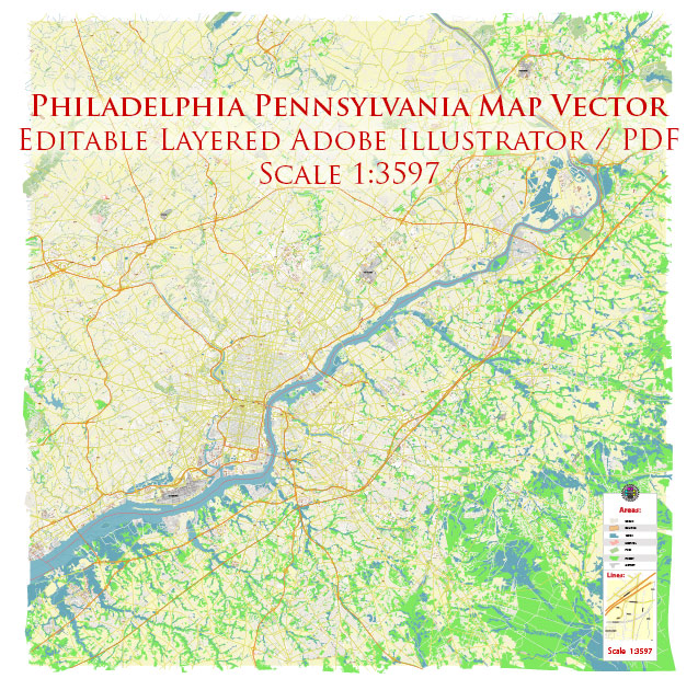
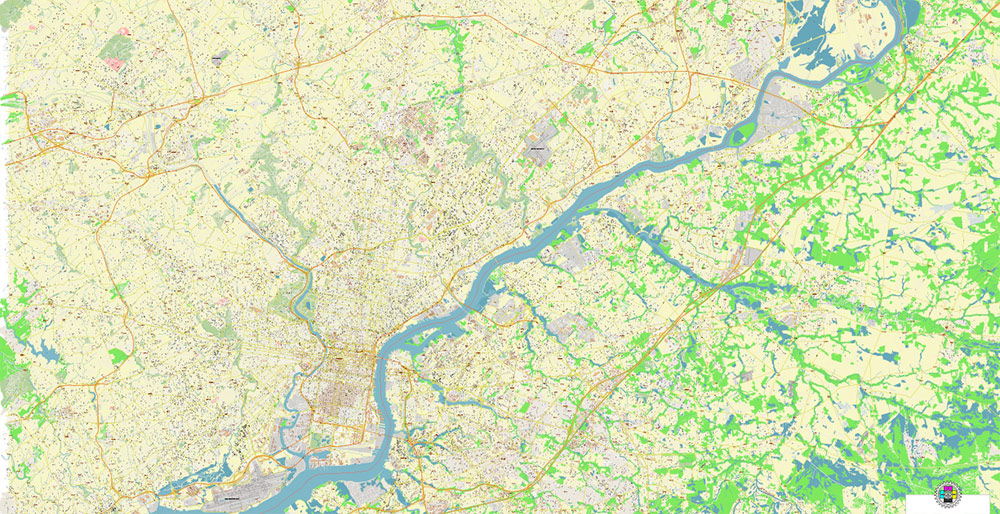
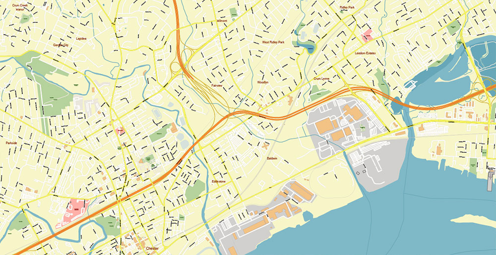
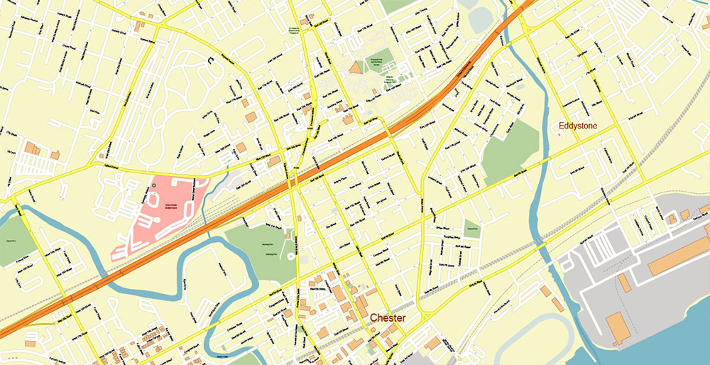
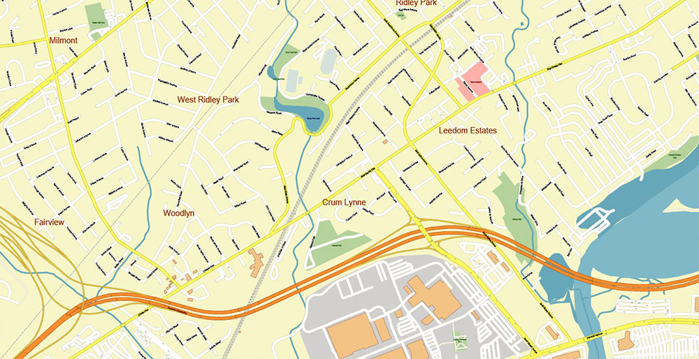
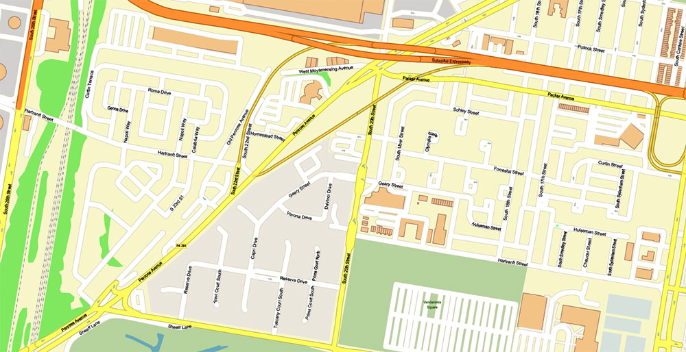
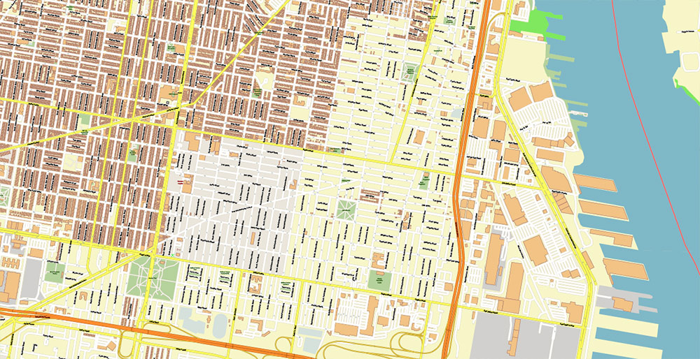
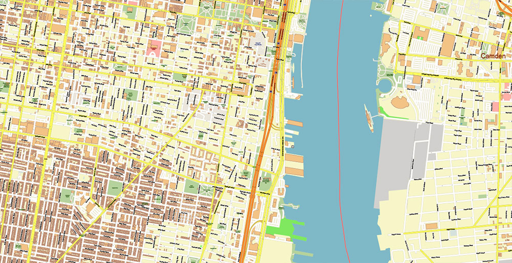
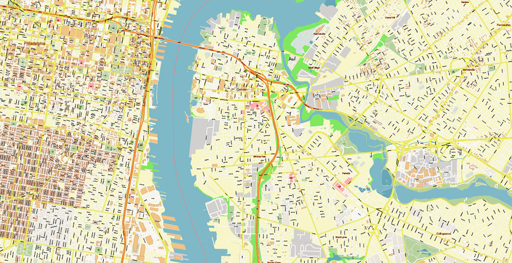
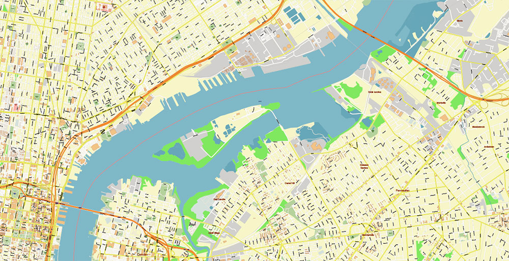
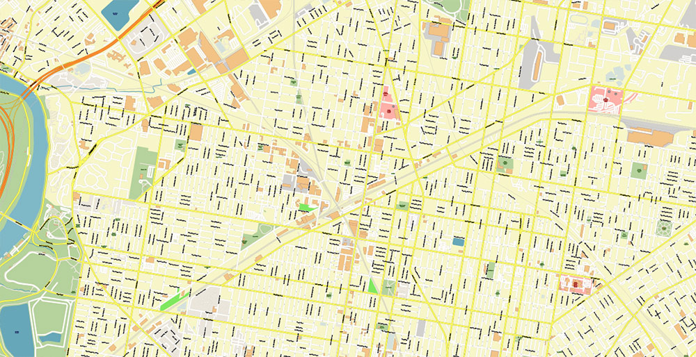
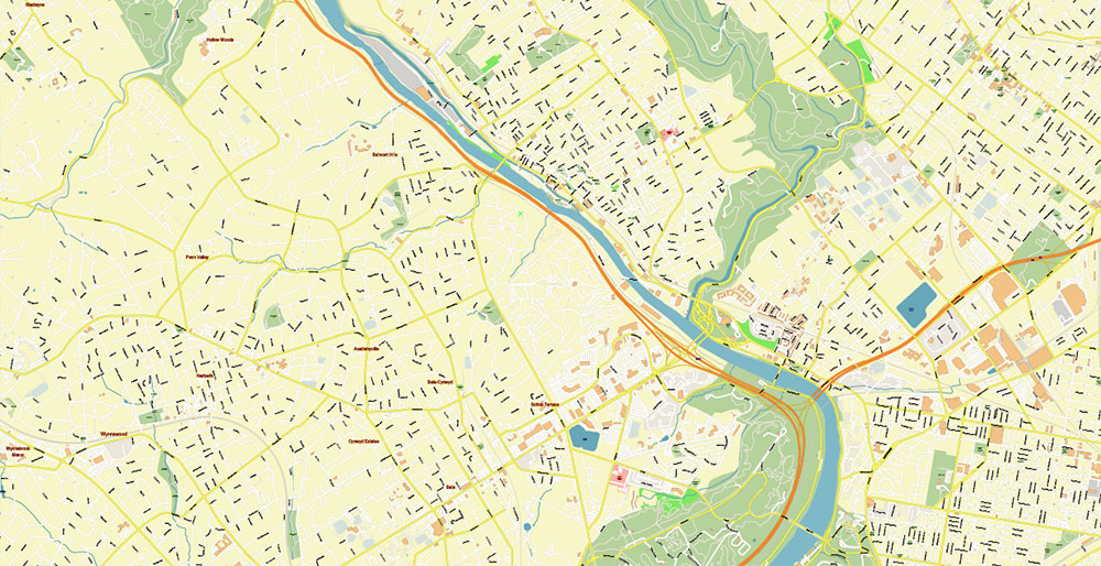
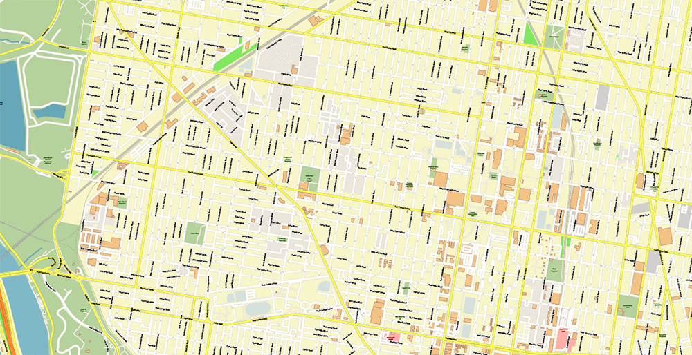
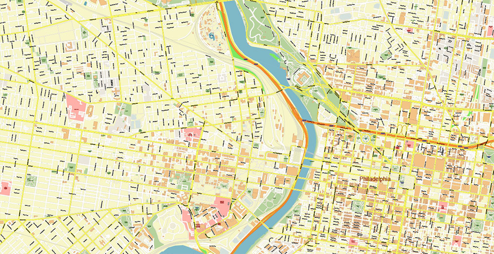
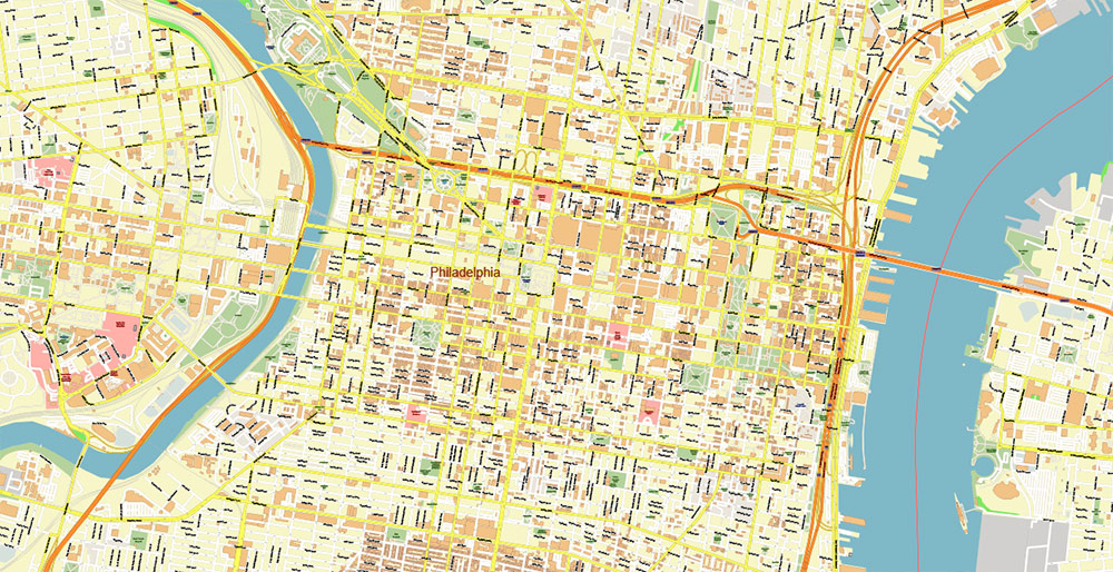
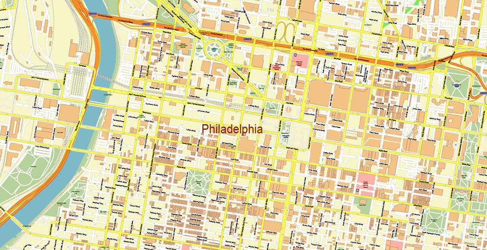
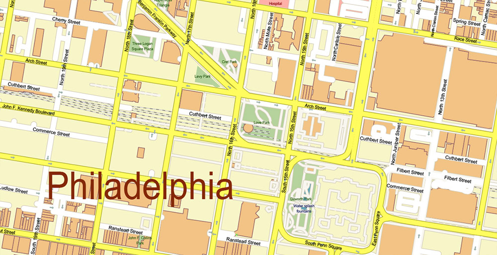
Printable PDF Vector Map of Philadelphia Pennsylvania US detailed City Plan (with the neighborhood) scale 1:3597 full editable Adobe PDF Street Map in layers, scalable, text format all names, 254 MB ZIP
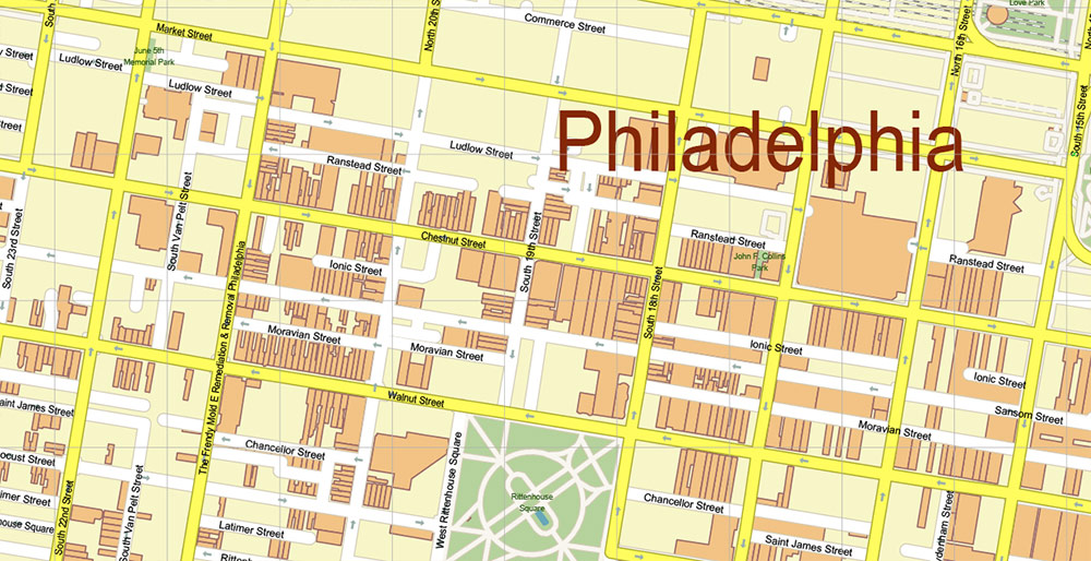
All street names, Main Objects, Buildings. Map for design, printing, arts, projects, presentations, for architects, designers, and builders, business, logistics.
Also: We can add the ZIP (postal) codes areas with numbers (additiona layer for this map), and other objects for you. It’s free for our customers.
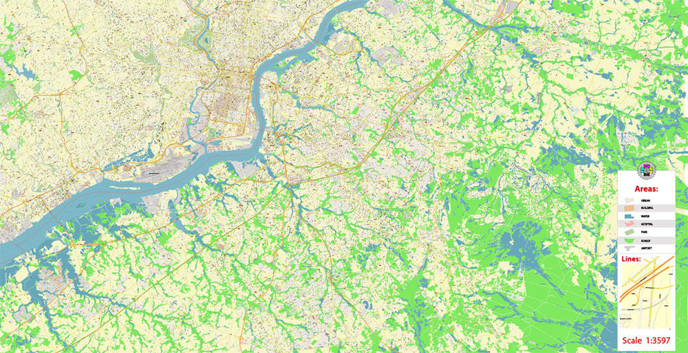
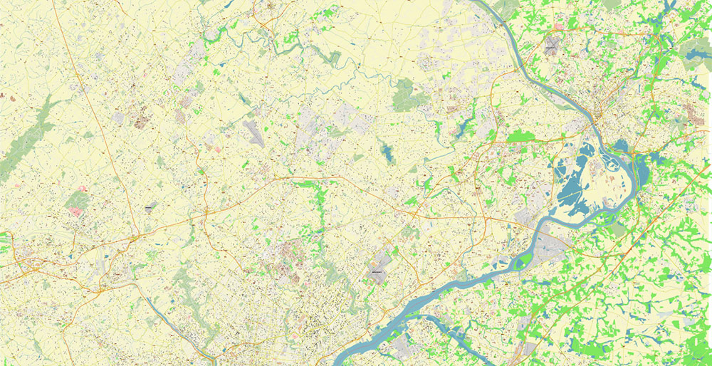
Map covered area:
Layers list:
- Legend
- Grids
- Labels of roads
- Names of places (city, hamlet, etc.)
- Names of objects (hospitals, parks, water)
- Names of main streets
- Names of civil streets
- Main Streets, roads
- Civil streets
- Railroads
- Buildings
- Airports and heliports
- Water objects (rivers, lakes, ponds)
- Waterways
- Color fills (parks, hospital areas, land use, etc.)
- Background
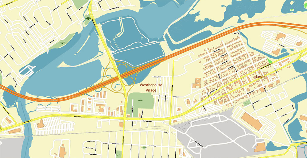
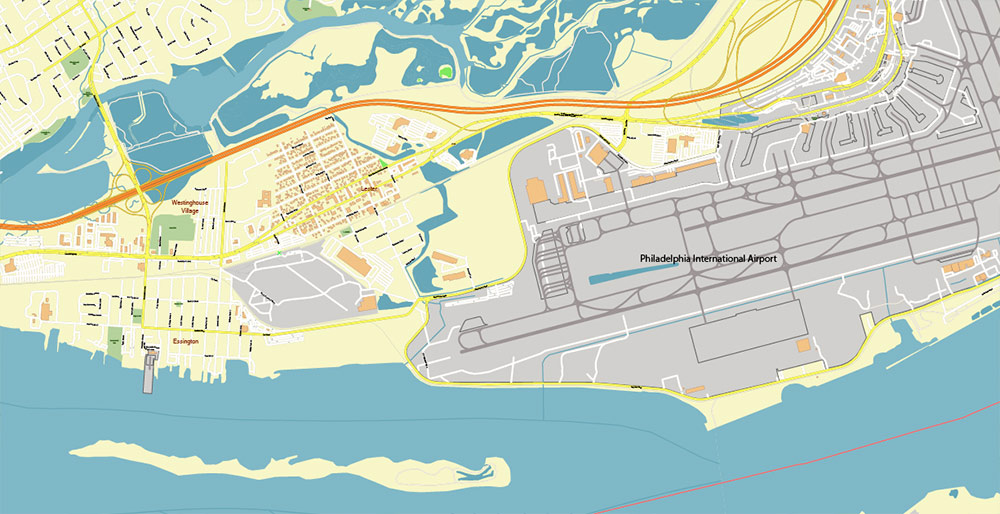
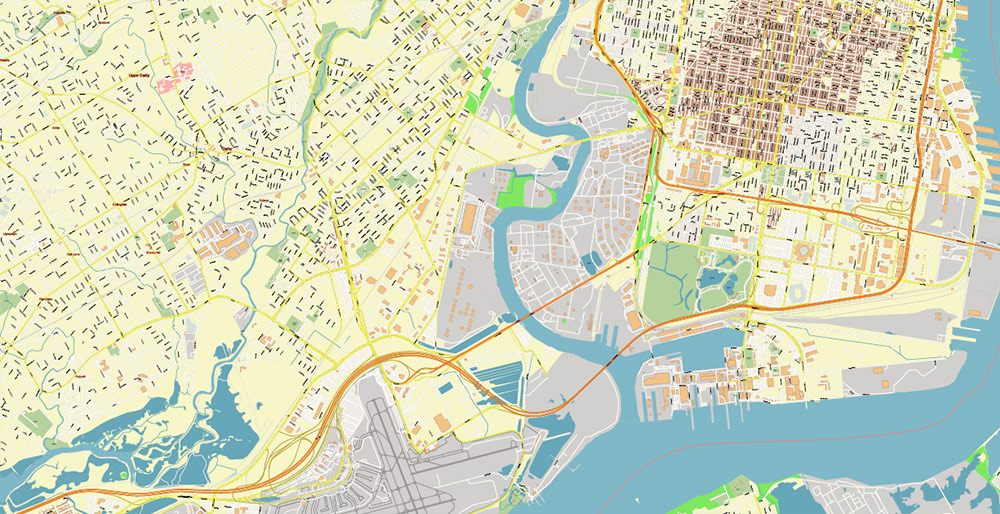
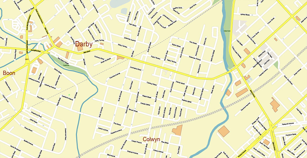
Philadelphia Pennsylvania US PDF Map Vector Exact City Plan High Detailed Street Map editable Adobe PDF in layers
Philadelphia Pennsylvania US PDF Map Vector Exact City Plan High Detailed Street Map editable Adobe PDF in layers
Philadelphia Pennsylvania US PDF Map Vector Exact City Plan High Detailed Street Map editable Adobe PDF in layers
Philadelphia Pennsylvania US PDF Map Vector Exact City Plan High Detailed Street Map editable Adobe PDF in layers
Philadelphia Pennsylvania US PDF Map Vector Exact City Plan High Detailed Street Map editable Adobe PDF in layers
Philadelphia Pennsylvania US PDF Map Vector Exact City Plan High Detailed Street Map editable Adobe PDF in layers
Philadelphia Pennsylvania US PDF Map Vector Exact City Plan High Detailed Street Map editable Adobe PDF in layers
Philadelphia Pennsylvania US PDF Map Vector Exact City Plan High Detailed Street Map editable Adobe PDF in layers
Philadelphia Pennsylvania US PDF Map Vector Exact City Plan High Detailed Street Map editable Adobe PDF in layers
Philadelphia Pennsylvania US PDF Map Vector Exact City Plan High Detailed Street Map editable Adobe PDF in layers
Philadelphia Pennsylvania US PDF Map Vector Exact City Plan High Detailed Street Map editable Adobe PDF in layers
Philadelphia Pennsylvania US PDF Map Vector Exact City Plan High Detailed Street Map editable Adobe PDF in layers
Philadelphia Pennsylvania US PDF Map Vector Exact City Plan High Detailed Street Map editable Adobe PDF in layers
Philadelphia Pennsylvania US PDF Map Vector Exact City Plan High Detailed Street Map editable Adobe PDF in layers
Philadelphia Pennsylvania US PDF Map Vector Exact City Plan High Detailed Street Map editable Adobe PDF in layers
Philadelphia Pennsylvania US PDF Map Vector Exact City Plan High Detailed Street Map editable Adobe PDF in layers
Philadelphia Pennsylvania US PDF Map Vector Exact City Plan High Detailed Street Map editable Adobe PDF in layers
Philadelphia Pennsylvania US PDF Map Vector Exact City Plan High Detailed Street Map editable Adobe PDF in layers
Philadelphia Pennsylvania US PDF Map Vector Exact City Plan High Detailed Street Map editable Adobe PDF in layers
Philadelphia Pennsylvania US PDF Map Vector Exact City Plan High Detailed Street Map editable Adobe PDF in layers
Philadelphia Pennsylvania US PDF Map Vector Exact City Plan High Detailed Street Map editable Adobe PDF in layers
Philadelphia Pennsylvania US PDF Map Vector Exact City Plan High Detailed Street Map editable Adobe PDF in layers
Philadelphia Pennsylvania US PDF Map Vector Exact City Plan High Detailed Street Map editable Adobe PDF in layers
Philadelphia Pennsylvania US PDF Map Vector Exact City Plan High Detailed Street Map editable Adobe PDF in layers

 Author: Kirill Shrayber, Ph.D. FRGS


