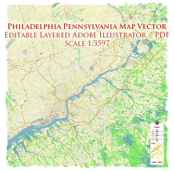
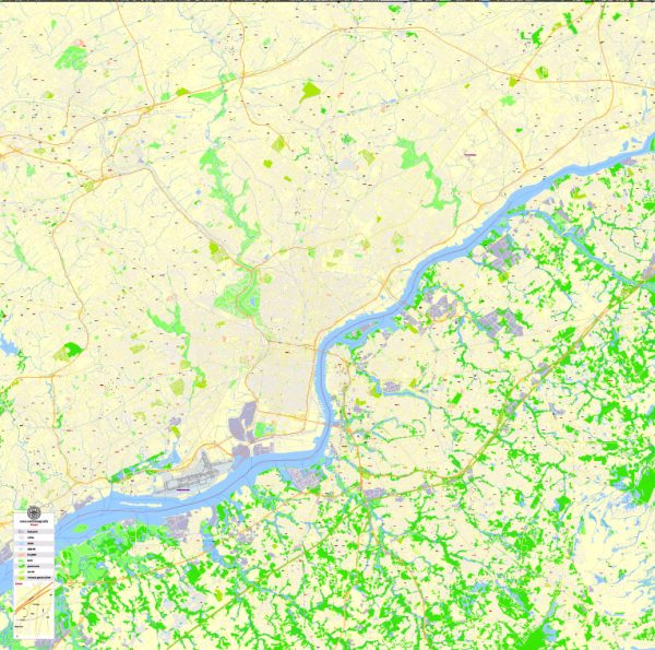
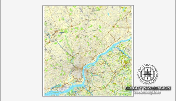
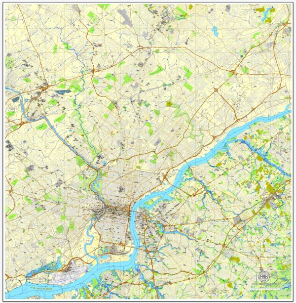
Philadelphia, Pennsylvania, is known for its rich history and diverse urban landscape. The city is situated along the Delaware River and is characterized by various waterways, bridges, and main streets. Here’s a description of some of the principal waterways, bridges, and main streets in Philadelphia:
Waterways:
- Delaware River: The eastern border of Philadelphia is defined by the Delaware River, a major waterway that played a crucial role in the city’s historical development and trade. The river provides scenic views and recreational opportunities.
- Schuylkill River: Flowing through the western part of the city, the Schuylkill River is another significant waterway. The Schuylkill River Trail, a popular recreational path, runs along its banks, offering residents and visitors a picturesque route for walking, running, and biking.
Bridges:
- Benjamin Franklin Bridge: Connecting Philadelphia and Camden, New Jersey, the Benjamin Franklin Bridge is an iconic suspension bridge that spans the Delaware River. It offers stunning views of the Philadelphia skyline and is a major transportation route for both pedestrians and vehicles.
- Walt Whitman Bridge: Another important bridge crossing the Delaware River, the Walt Whitman Bridge connects Philadelphia to Gloucester City, New Jersey. It’s a vital transportation link for commuters and cargo traffic.
- Betsy Ross Bridge: This bridge spans the Delaware River, connecting the Bridesburg neighborhood in Philadelphia to Pennsauken, New Jersey. It’s a cantilever bridge named after Betsy Ross, the legendary seamstress credited with making the first American flag.
- George C. Platt Memorial Bridge: This bridge crosses the Schuylkill River, connecting South Philadelphia with the Grays Ferry neighborhood. It’s a vital route for motorists traveling between different parts of the city.
Main Streets:
- Market Street: Running east-west through the city, Market Street is one of the primary thoroughfares in Philadelphia. It is home to various shops, restaurants, and historical sites, making it a bustling and vibrant street.
- Broad Street: Known as the “Avenue of the Arts,” Broad Street is a major north-south artery in Philadelphia. It is home to theaters, cultural institutions, and City Hall, making it a central part of the city’s civic and cultural life.
- Chestnut Street: Parallel to Market Street, Chestnut Street is another key east-west corridor. It features a mix of retail, dining, and residential spaces, contributing to the city’s dynamic urban fabric.
These waterways, bridges, and main streets collectively contribute to the unique character and charm of Philadelphia, blending historical significance with modern urban life.
Vectormap.Net provide you with the most accurate and up-to-date vector maps in Adobe Illustrator, PDF and other formats, designed for editing and printing. Please read the vector map descriptions carefully.

 Author: Kirill Shrayber, Ph.D.