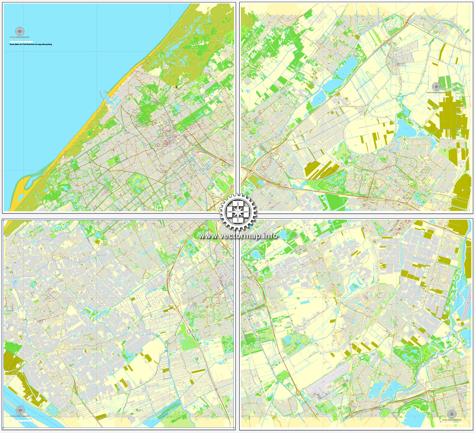
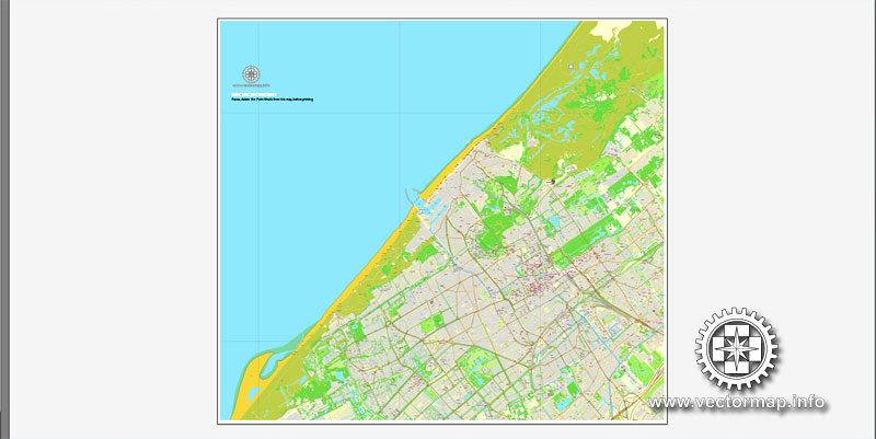
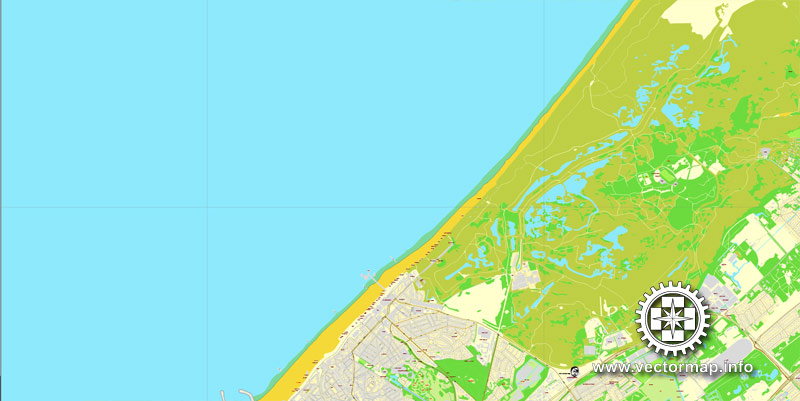
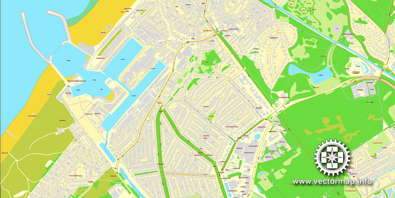
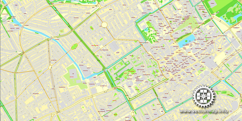
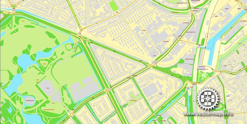
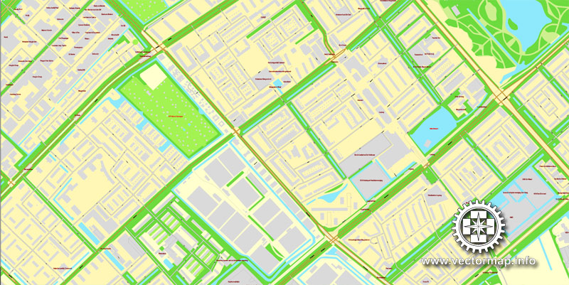
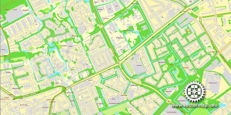
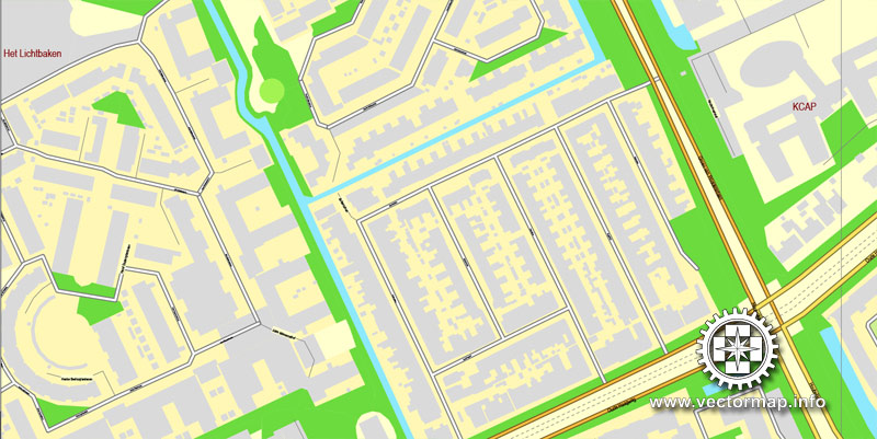
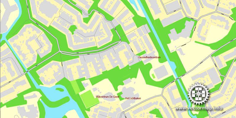
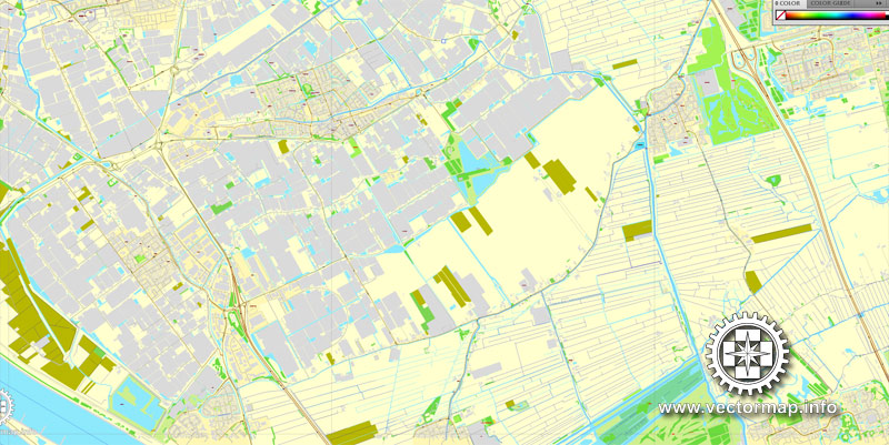
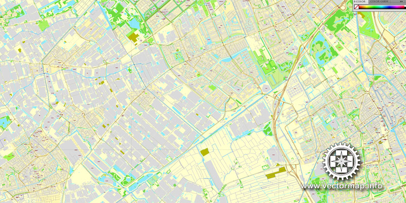
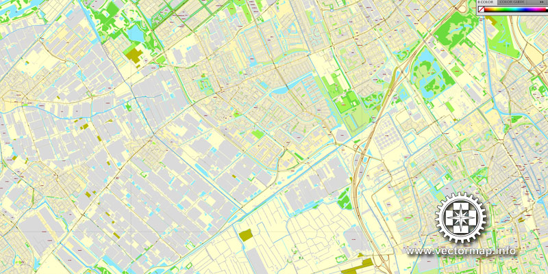
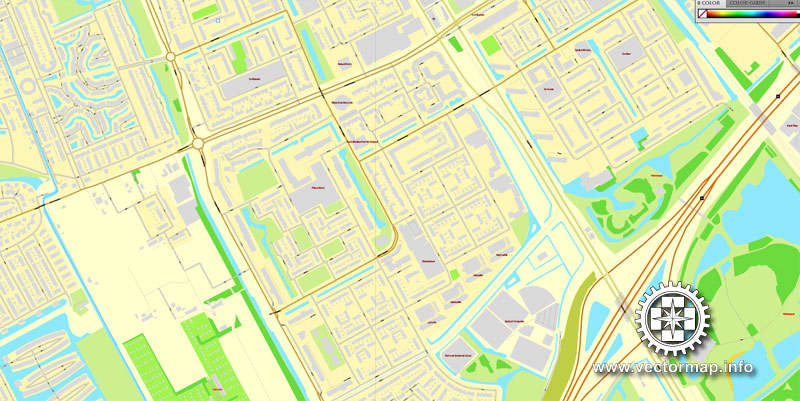
The Hague / Den Haag, Netherlands, printable vector street City Plan map in 4 parts, full editable, Adobe PDF, full vector, scalable, editable, text format street names, 96 mb ZIP
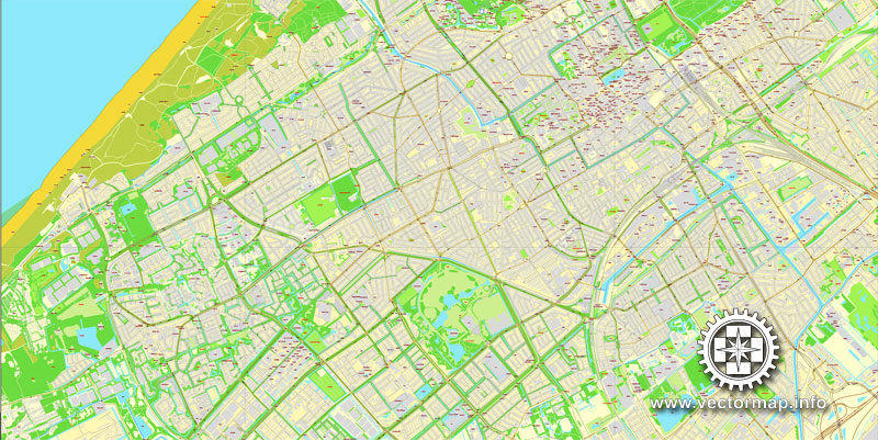
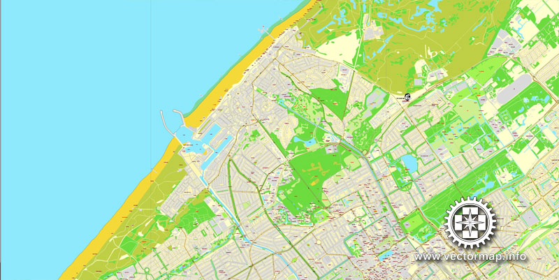
All streets, All buildings. Map for design, print, arts, projects, presentations.
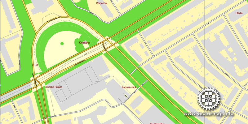
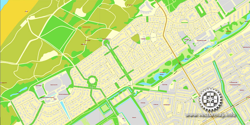
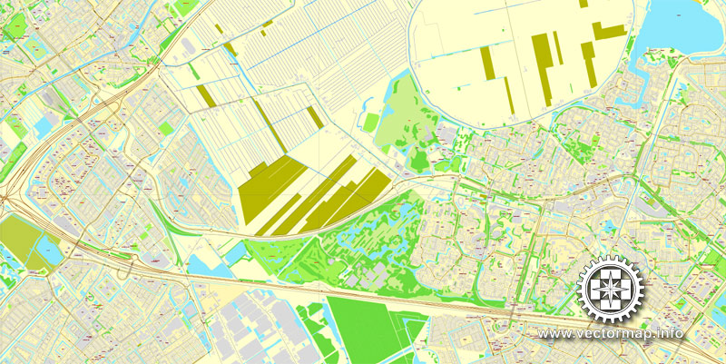
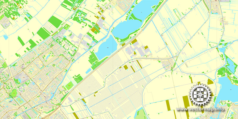
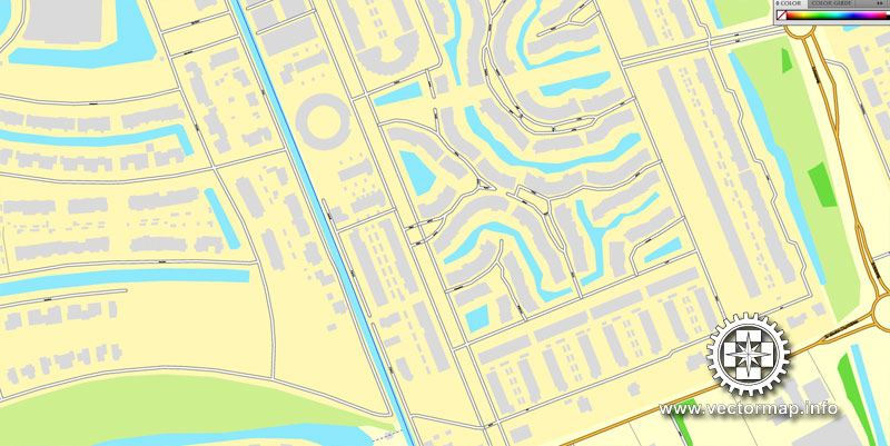
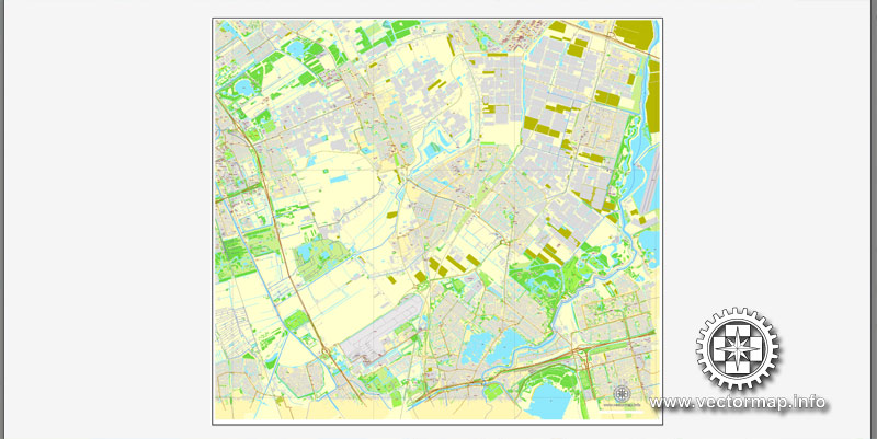
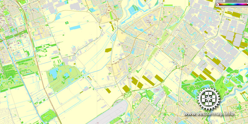
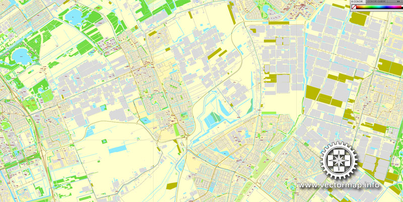
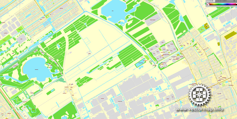
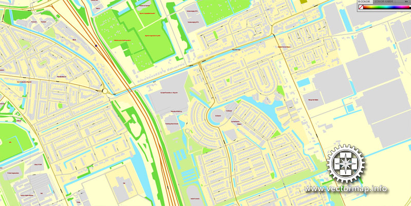
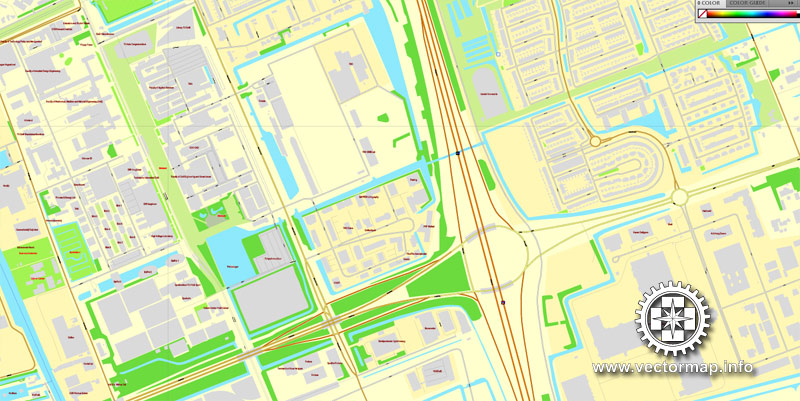
The most accurate and detailed map of the city.
You can edit this file by Adobe Illustrator, Adobe Acrobat, Corel Draw.
Different font colors of the street names (black); object names by type (brown, red).
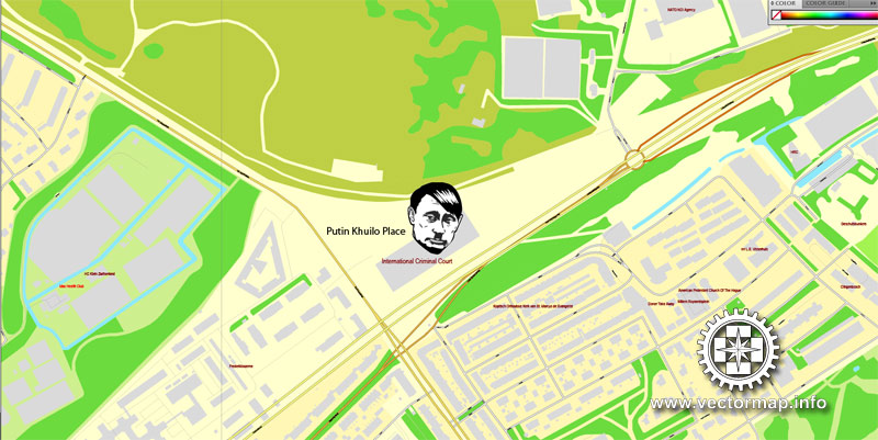
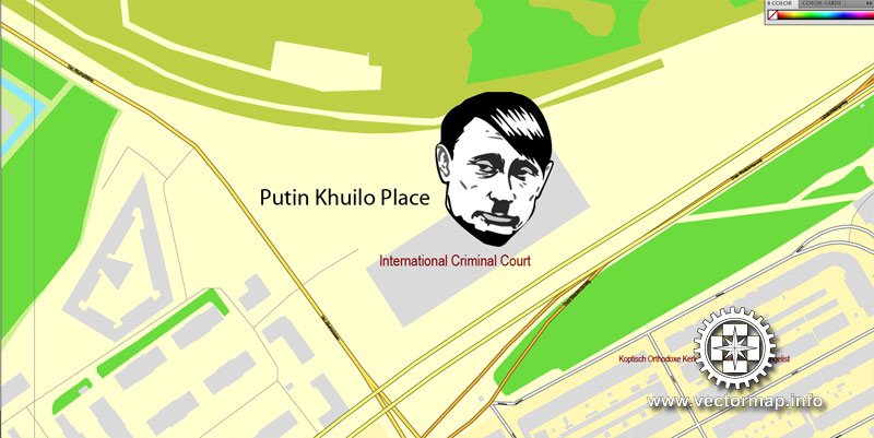
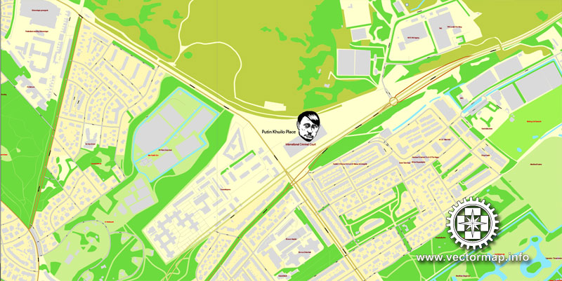
Please, REMOVE the PUTIN KHUILO from the map, before use this map)))
Try turning the display mode VIEW/OUTLINE – you’ll see a lot of interesting things)))
DXF, DWG, CDR and other formats – on request, same price, please contact us.
The Hague, Netherlands.
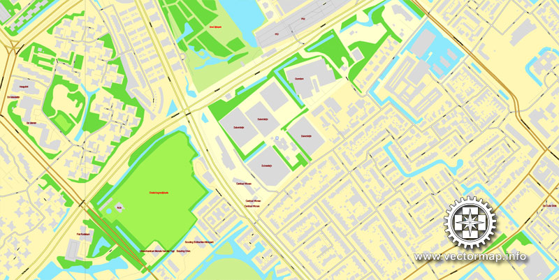
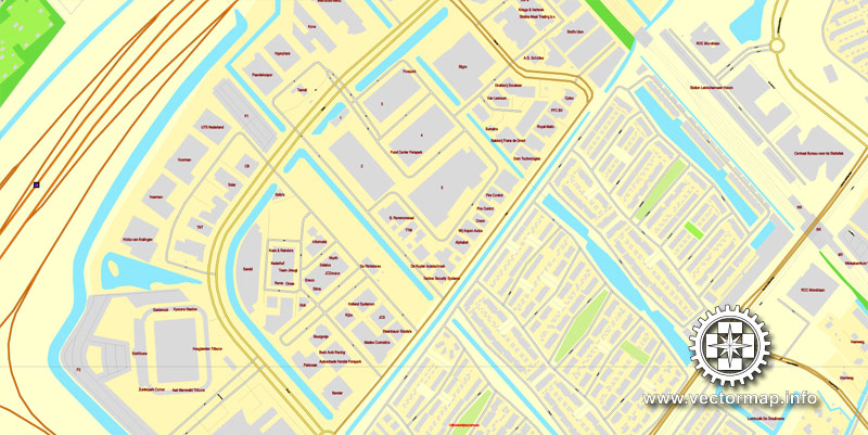
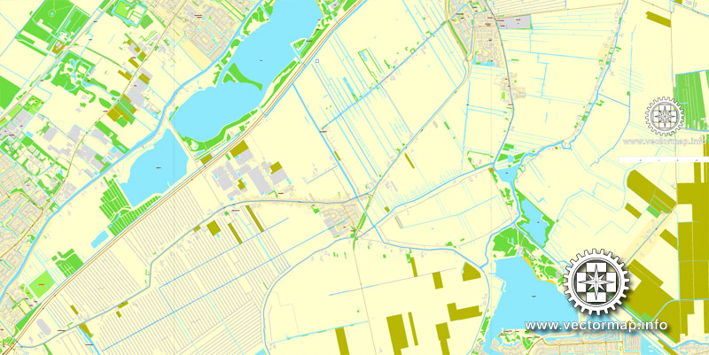
This vector map of Hague is used as a basis for design, editing, and further printing.
This is the most detailed, exact map of Hague for high-quality printing and polygraphy. You can always clarify the map development date by contacting us.
For your convenience, all objects on Hague vector map are divided into layers. And the editing is very easy – colors, lines, etc.
You can easily add any objects needed (e.g. shops, salons, sale points, gas station or attraction) on any layer of Hague vector map.
The Hague is a city on the western coast of the Netherlands and the capital of the province of South Holland. It is also the seat of government of the Netherlands.
One of the advantages of Hague vector maps of our production is the relevance of cartographic data, we constantly update all our products.
This vector map of Hague is used by:
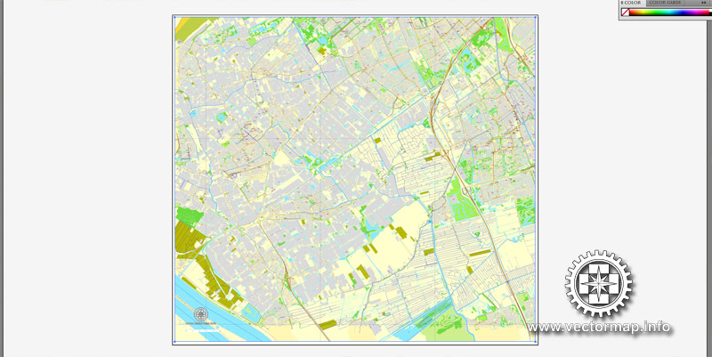
designers, layout designers, printers, advertisers and architects. Our product – vector maps – is designed for further editing and printing in large formats – from @Wall format (a few meters) to A-0 and A-1, A-2, A-3.
Hague map in vector format is used for design, urban planning, presentations and media visualizations.
Advertising and presentation map of Hague (usually the final designer marks the routes, and puts the client’s objects (shops, saloons, gas stations etc.)
The undoubted advantage is that people will NEVER throw out this advertising product – the map. In fact, as an advertising medium, a map is the most “long-playing” of the well-known polygraphic advertising media, with the longest lifespan, and the maximum number of interactions with the customer.
For travelers, maps are sold at the airports and gas stations around the world. Often the source is our vector maps.
Take a look, who purchases our vector maps of Hague in “Our Clients and Friends” page – these are large and small companies, from super-brands like Volvo and Starbucks, to small design studios and printing houses.
It’s very easy to work with vector maps of Hague, even for a not very experienced designer who can turn on and off the map layers, add new objects, change the colors of fill and lines according to customer requirements.
The undoubted advantage of Hague vector maps in printing is an excellent and detailed visualization, when customer can expand a large paper map and instantly define his location, find a landmark, an object or address on map, unlike using the popular electronic formats of Google and Yandex maps for example.
Printable vector maps of Hague are much more convenient and efficient than any electronic maps on your smartphone, because ALL DETAILS are displayed in the entire space of Hague map.
Useful tips on working with vector maps of cities and countries in Adobe Illustrator.
«V» – launches the Selection tool (cursor, black arrow), which makes active any vector line.
«А» – launches the Direct Selection tool (white cursor), allows you to select curve elements and drag them to the desired place.
«R» – activates the Rotate tool, which helps you rotating selected objects around the center point by 360 degrees.
«E» – gives you the opportunity to use the Eraser tool and erase unnecessary parts.
«X» – switches between Fill and Stroke in the Tools section. Try to get used to this hot key and
you will quickly understand that you can’t live and work without it.
Guides are not limited to vertical and horizontal in Adobe Illustrator. You can also create a diagonal guide for example. Moreover, you can turn any contours into guides. Select the outline and go to View > Guides > Make Guides (Create Guides), or simply press Cmd/Ctrl + 5. You can also turn the guides back into an editable object. Go to menu, View > Guides > Unlock Guides (Release Guides), select the guide you want to edit and select View > Guides > Release Guides (Reset Guides), or just press Cmd/Ctrl + Option / Alt + 5).
With a metropolitan population of more than 1 million, it is the third-largest city in the Netherlands, after Amsterdam and Rotterdam. The Rotterdam–The Hague metropolitan area, with a population of approximately 2.7 million, is the 13th-largest in the European Union and the most populous in the country. Located in the west of the Netherlands, The Hague is in the centre of the Haaglanden conurbation and lies at the southwest corner of the larger Randstad conurbation.
You will probably want to change the color scheme used on our Hague vector map.
To quickly and effectively play with colors.
Of course, you can do it manually, all objects in our Hague vector map are divided according to types and layers, and you can easily change the color gamma of vector objects in groups and layers.
But there is more effective way of working with the whole VECTOR MAP of Hague and all layers:
The overview dialog «Edit colors»/«Repaint Graphic Object» (this dialog box name can change depending on the context):
If you have selected a part or a layer of Hague vector map and open the dialog box by clicking the icon in the Control panel, on the Samples palette or the Color Catalog, or if you choose Edit > Edit Colors> Repaint Graphic Object, then the «Repaint Graphic Object» dialog box appears, and you get access to «Assign» and «Edit» tabs.
If a picture or a map fragment is not selected, and you open the dialog box by clicking the icon in the Control panel, on the Samples palette or in the Color Catalog, the «Edit Colors» dialog box appears and you can only access the «Edit» tab.
Regardless of the name at the top of the dialog box, the right-hand side always displays the color group of the current document, as well as two default color groups: Print Color and Grayscale. These color groups can be selected and used any time.
Create and edit color groups of Hague vector map, and also assign colors using the «Edit Colors»/ а «Repaint Graphic Object» dialog box.
A. Creating and editing of a color group on the «Edit» tab
B. Assigning colors on the «Assign» tab
C. Select a group of colors from the «Color groups» list
The option «Repaint a graphic object» in the lower part of the dialog box allows you to preview the colors on a selected layer of Vector map, or a group of elements, and specify whether its colors will be redefined when the dialog box is closed.
The main areas of the dialog box are:
«Edit»
The «Edit» tab is designed to create a new or edit the existing color groups.
The harmony rules Menu and the Color Wheel are used to conduct experiments with color harmonies. The color wheel shows how colors are related in color harmony, and the color bars allow you to view and manipulate an individual color values. In addition, you can adjust the brightness, add and remove colors, save color groups and view colors on the selected Vector Map of Hague or a separated layers.
«Assign»
The «Assign» tab is used to view and control on how the original colors are replaced with colors from the color group like your corporate colors in the Vector Map of Hague.
The assign color ability is provided only if the entire map, layer or fragment is selected in the document. You can specify which of new colors replace the current colors, whether the spot colors should be preserved and how colors are replaced (for example, you can replace colors completely or changing the color tone while maintaining the brightness). The «Assign» tab allows you to redefine colors in the Vector Map of Hague, or in separate layers and fragments using the current color group or reducing the number of colors in the current Vector Map.
Color groups
Is a list of all saved color groups for current document (the same groups appear in the «Samples» palette). You can edit and delete the existing color groups, as well as creating a new ones using the list of “Color Groups” in the dialog box. All changes appear in the «Samples» palette.
The highlighted color group shows, which color group is currently edited.
The Hague is the seat of the Cabinet, the States General, the Supreme Court, and the Council of State of the Netherlands, but the city is not the constitutional capital of the Netherlands, which is Amsterdam. King Willem-Alexander lives in Huis ten Bosch and works at the Noordeinde Palace in The Hague, together with Queen Máxima. The Hague is also home to the world headquarters of Royal Dutch Shell and other Dutch companies.
Any color group can be selected and edited, or used to redefine the colors in the selected vector map of Hague, its fragments or elements.
Saving a color group adds this group to the specified list.
Opening the «Edit Colors»/«Repaint Graphic Object» dialog box.
Open the «Edit Colors»/«Repaint Graphic Object» dialog box using one of the following methods:
«Edit»> «Edit Colors»> «Repaint Graphic object» or «Repaint With Style».
Use these commands if you need to edit the colors in the selected vector map of Hague.
«Repaint Graphic object» button on the «Control» panel.
Use this button if you need to adjust colors of Hague vector map using the а «Repaint graphic object» dialog box.
The specified button is available if the selected vector map or its fragment contains two or more colors.
Note. This color editing method is convenient for global color adjustment in a vector map, if global colors were not used when creating a Map of Hague.
The «Edit colors» button or «Edit or apply colors» on the «Color Catalog» palette
Click this button if you need to edit colors on the «Color Catalog» palette or edit and then apply them to the selected Vector Map of Hague or its fragment.
The «Edit color group» button or «Edit or apply color group» on the «Samples» palette.
Click this button if you need to edit the colors in the specific color group or edit and apply them to the selected Vector Map of Hague or a group of its elements, for example, the whole layer “Streets and lines”. You can also double-click the color group in the Samples panel to open the dialog box.
If the map file is too large and your computer freezes or even can’t open it quickly:
1. Try to reduce the color resolution of the video card (display) to 256 colors while working with a large map.
2. Using Windows Task Manager, select all the application you don’t need, while working with map, just turn them off.
3. Launch Adobe Illustrator. (DO NOT OPEN the vector map file)
4. Start the Windows Task Manager using administrator rights > Find the “Illustrator” process > set the «real time» priority,
5. Open the file. When you see the LEGACY FONT popup window – click “OK” (do not update). You can restore the TEXT later.
6. Can also be useful: When file is opened – Edit > Settings > Basic Settings > disable smoothing. /// It looks scary, but works quickly)))
We recommend saving the file in Adobe Illustrator 10 version. It’s much more stable when working with VERY BIG size files.
Most foreign embassies in the Netherlands and 150 international organisations are located in the city, including the International Court of Justice and the International Criminal Court, which makes The Hague one of the major cities hosting a United Nations institution along with New York City, Geneva, Vienna, Rome and Nairobi. Due to these reasons, The Hague is largely known as the home of international law and arbitration.
The Hague is the largest Dutch city on the North Sea in the Netherlands and forms the centre of a conurbation called Haaglanden. Westland and Wateringen lie to the south, Rijswijk, Delft and the Rotterdam conurbation (called Stadsregio Rotterdam or Rijnmond) to the southeast, Pijnacker-Nootdorp and Zoetermeer to the east, Leidschendam-Voorburg, Voorschoten and the Leiden conurbation to the northeast and Wassenaar to the north.
The conurbations around The Hague and Rotterdam are close enough to be a single conurbation in some contexts. For example, they share the Rotterdam The Hague Airport and a light rail system called RandstadRail. Consideration is being given to creating a Rotterdam-The Hague metropolitan area. This large conurbation centred on The Hague and Rotterdam is, in turn, part of the Randstad—specifically a band of municipalities called the South Wing (Zuidvleugel). The Randstad, which also includes among others Amsterdam and Utrecht, has a population of 6,659,300. The Hague lies at the southwestern corner of one of the largest urban areas in Europe.
The Hague is divided into eight official districts which are, in turn, divided into neighbourhoods. Some of the most prosperous and some of the poorest neighbourhoods of the Netherlands can be found in The Hague. The wealthier areas like Statenkwartier, Belgisch Park, Marlot, Benoordenhout and Archipelbuurt are generally located in the northwestern part of the city, closer to the sea, whereas the southeastern neighbourhoods like Transvaal, Moerwijk, and the Schilderswijk are significantly poorer, with the exception of the Vinex-locations of Leidschenveen-Ypenburg and Wateringse Veld. This division is reflected in the local accent: The more affluent citizens are usually called “Hagenaars” and speak so-called bekakt Haags (“posh”), this contrasts with the Hagenezen, who speak plat Haags (“vulgar”); see Demographics below.
The districts are:
Centrum (99,283 inhabitants) forms the heart of The Hague. The Binnenhof, the Noordeinde Palace, the Mauritshuis museum, the Nieuwe Kerk, the Grote Kerk, the Old City Hall and the current City Hall are located here. Architecture varies from medieval up to 20th century.
Escamp (118,483 inhabitants) is the most populous district of The Hague, built largely after the World War II as part of The Hague’s large expansion to the south east. One railway station can be found here: Den Haag Moerwijk. The district is divided into six neighbourhoods.
Haagse Hout (42,000 inhabitants) is a wealthy district in the northeast of the city and the location of the Haagse Bos, a large forest. The King of the Netherlands lives in the royal palace Huis ten Bosch, located in this forest. The district also includes the financial centre of the city, the Beatrixkwartier.
Laak (40,222 inhabitants) is the smallest district of the city, southeast of its centre, for the most part, built in the 20th and 21st century. The area used to be part of Rijswijk, until the municipality of The Hague bought the land in 1844. The Hollands Spoor railway station and The Hague University are located here, as well as the site of the planned mixed-use development Nieuw Binckhorst.
Leidschenveen-Ypenburg (47,088 inhabitants) is an early 21st-century Vinex-location located south east of the city, geographically connected to the main body of the city only by a narrow corridor. The district is divided into Leidschenveen and Ypenburg, which were part of Leidschendam, Nootdorp and Rijswijk before the areas were annexed by The Hague in 2002. This area was the site of Ypenburg Airport which was a military airport during the World War II.
Loosduinen (45,485 inhabitants) is the westernmost district of The Hague. It was a village unto itself until 1923, when it was annexed by The Hague. The less popular of the city’s two seaside resorts, Kijkduin is located here. The district is divided into four neighbourhoods.
Scheveningen (53,425 inhabitants) is the wealthy northernmost district of The Hague. A modern beach resort, Scheveningen is a popular tourist destination. It has a long sandy beach and its own esplanade, pier and lighthouse, but also a Pathé cinema, a musical theatre and a casino. The district also includes a fishing harbour. Notable buildings include the Kurhaus and farther inland, the Peace Palace.
Segbroek (60,054 inhabitants) is a district located between Scheveningen and Loosduinen. The population has decreased until around 2005, but since then has begun to grow again, driven by students and east European immigrants. It became a district of The Hague in 1988 and is divided into five neighbourhoods.

See more Netherland cities vector maps in Adobe Illustrator, PDF and Corel Draw format
Street Map of Rotterdam, Netherlands, printable vector street City Plan in Adobe Illustrator
PDF Map Utrecht, Netherlands
Printable Map Amsterdam, Netherlands
The Hague
City in Netherlands
The Hague is a city on the North Sea coast of the western Netherlands. Its Gothic Binnenhof complex is the seat of the Dutch parliament, and 16th-century Noordeinde Palace is the king’s workplace. The city is also home to the U.N.’s International Court of Justice, headquartered in the Peace Palace, and the International Criminal Court.
Area: 98.2 km²
Province: South Holland
Population: 495,083 (2011) UNdata
The Hague is the seat of government of the Kingdom of the Netherlands and the capital city of the province of South Holland. With a population of 515,880 inhabitants (as of 1 January 2015) and more than one million inhabitants including the suburbs, it is the third largest city of the Netherlands, after Amsterdam and Rotterdam. The Rotterdam The Hague Metropolitan Area, with a population of approximately 2.7 million, is the 12th-largest in the European Union and the most populous in the country. Located in the west of the Netherlands, The Hague is in the centre of the Haaglanden conurbation and lies at the southwest corner of the larger Randstad conurbation.
The Hague is the seat of the Dutch government and parliament, the Supreme Court, and the Council of State, but the city is not the capital of the Netherlands, which constitutionally is Amsterdam. King Willem-Alexander of the Netherlands plans to live at Huis ten Bosch and works at Noordeinde Palace in The Hague, together with Queen Máxima. Most foreign embassies in the Netherlands and 150 international organisations are located in the city, including the International Court of Justice and the International Criminal Court, which makes The Hague one of the major cities hosting the United Nations along with New York, Geneva, Vienna, Rome, and Nairobi.
Small guide: How to work with the vector map?
You can: Mass select objects by type and color – for example, the objects type “building” (they are usually dark gray) – and remove them from the map, if you do not need them in your print or design project. You can also easily change the thickness of lines (streets), just bulk selection the road by the line color.
The streets are separated by type, for example, type “residential road” are usually white with a gray stroke. Highway usually orange with a brown or dark gray stroke.
It is easy to change the font of inscriptions, all or each individually. Also, just can be make and any other manipulation of objects on the vector map in Adobe illustrator format.
Important: All the proportions on the map are true, that is, the relative sizes of the objects are true, because Map is based on an accurate GPS projection, and It transated into the (usual for all) the Mercator projection.
You can easily change the color, stroke and fill of any object on the map, zoom without loss of quality Image Verification.
Select object

Bulk selection the same objects on the vector map

See the bulk selected objects on the vector map

Bulk delete buildungs from the vector map

Select residencial road (small street) on the vector map

Bulk selection the same lines (streets, roads) on the full map

Create fat lines of the streets on the vector maps (bulk action) 1

Create fat lines of the streets on the vector maps (bulk action) 2

Create fat lines of the streets on the vector maps (bulk action) 3

You can easily change the color, stroke and fill of any object on the map, zoom without loss of quality Image Verification.

 Author: Kirill Shrayber, Ph.D. FRGS
 + Delft Netherlands City Vector Map Exact High Detailed editable Adobe Illustrator Street Map in layers")
