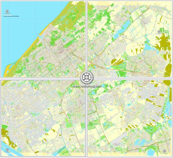
The Hague (Den Haag in Dutch) is the third-largest city in the Netherlands and serves as the seat of the Dutch government and the residence of the Dutch monarch. While The Hague is not known for its extensive network of waterways like some other Dutch cities (such as Amsterdam), it does have some notable features in terms of water and transportation.
Waterways:
- Hofvijver: This is a prominent artificial pond located in the city center, near the Binnenhof (the Dutch Parliament buildings). It adds a picturesque element to the cityscape.
- Haagse Beek: This is a small stream that flows through parts of The Hague. It has been canalized in some areas, contributing to the city’s water features.
Main Roads:
- Utrechtsebaan (A12): One of the major highways connecting The Hague to Utrecht and the eastern part of the Netherlands. It is a crucial route for commuters and travelers.
- A44: This highway connects The Hague to Amsterdam and runs along the western coast of the Netherlands, passing through cities like Leiden.
- A4: This highway connects The Hague to Rotterdam to the south and Amsterdam to the north. It is an important route for both local and international transportation.
- A13: Connecting The Hague to Rotterdam, the A13 is a significant highway for commuters between these two major cities.
- Centrumring: The Hague’s city center is encircled by the Centrumring, a ring road that facilitates traffic flow around the heart of the city.
- Koningskade and Mauritskade: These are important avenues that run along the northern edge of the city center, providing access to key areas and government buildings.
Public Transportation: The Hague has an extensive and efficient public transportation system, including trams and buses. Centraal Station serves as the main train station, connecting the city to other major Dutch cities and international destinations.
While The Hague may not have as many canals as some other Dutch cities, its water features, roads, and public transportation options contribute to the overall accessibility and functionality of the city.


 Author: Kirill Shrayber, Ph.D.