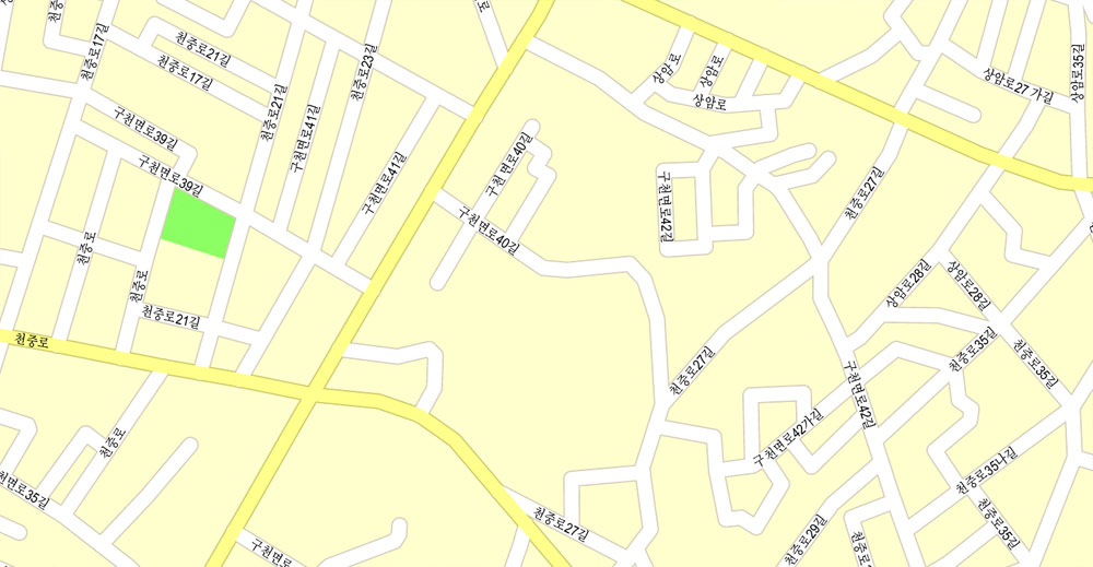
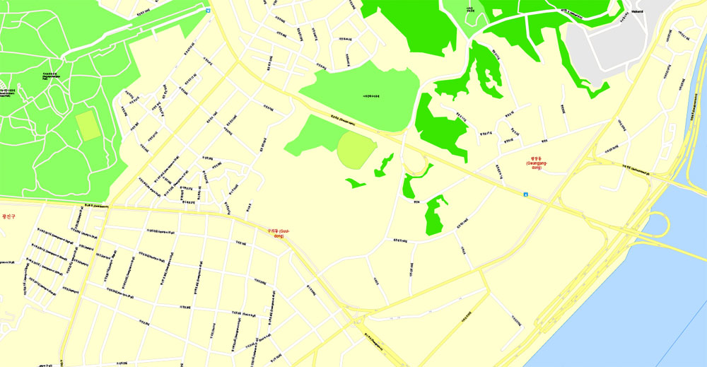
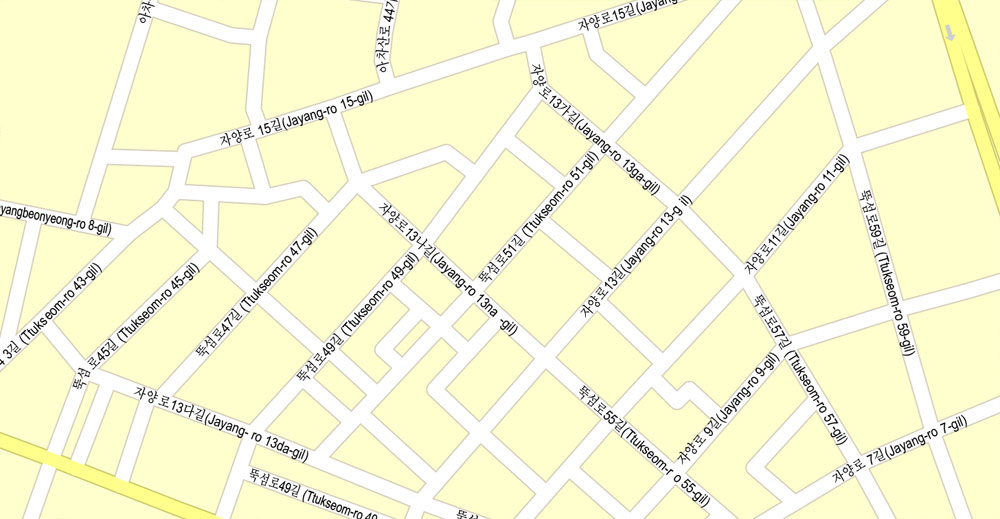
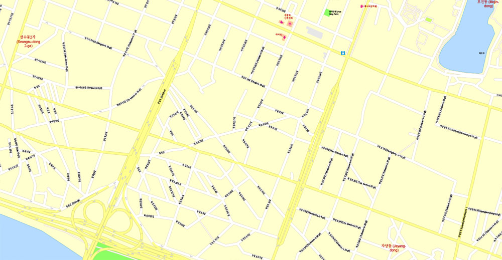
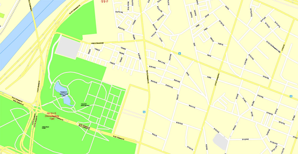
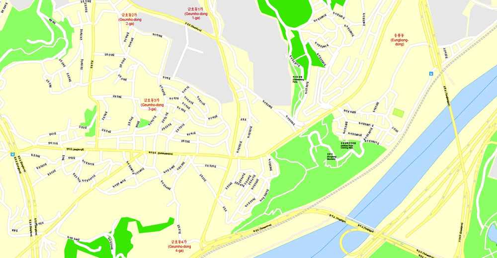
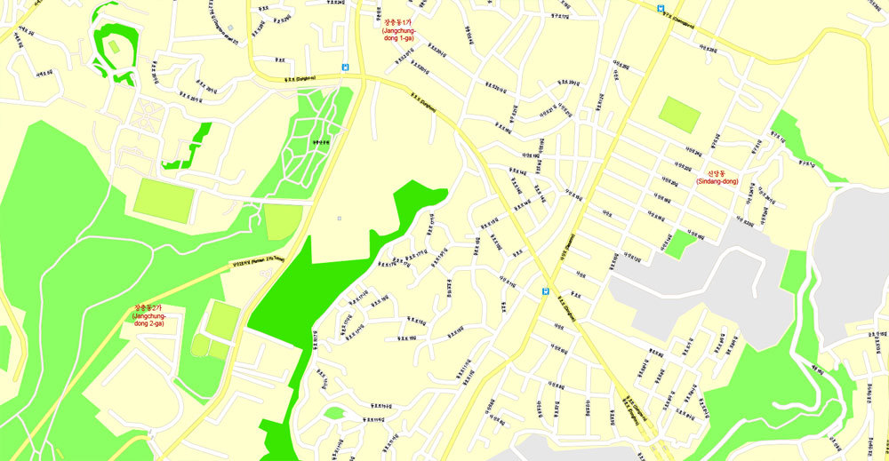
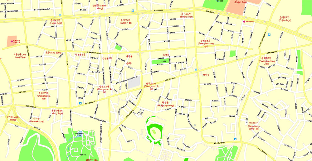
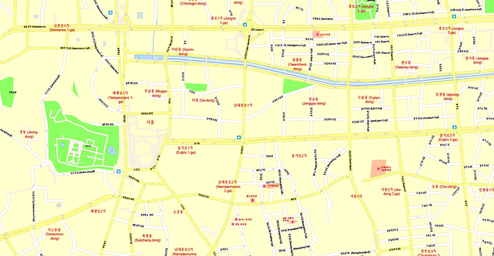
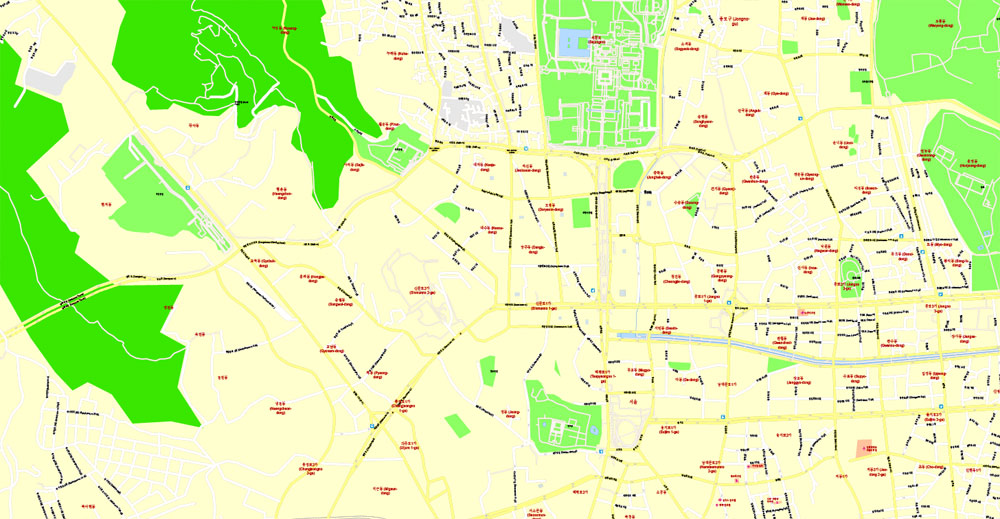
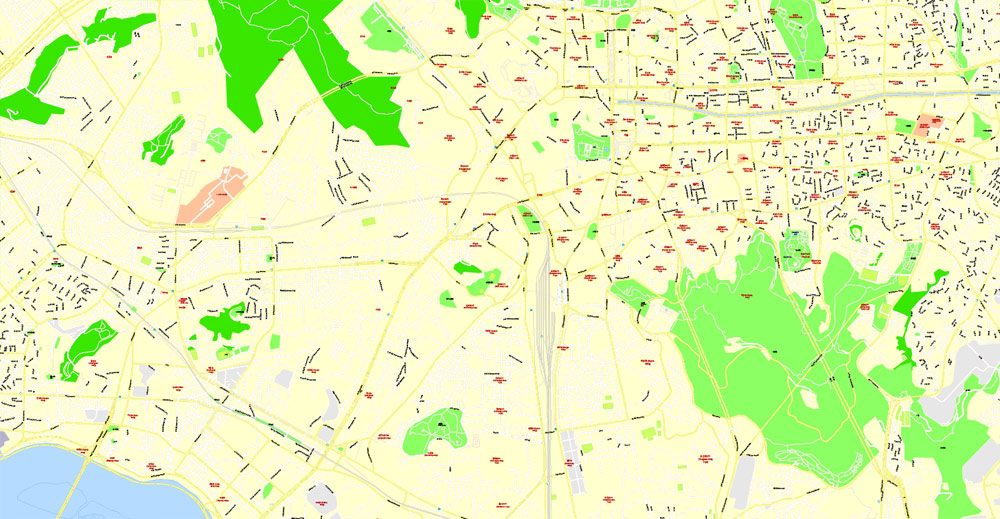
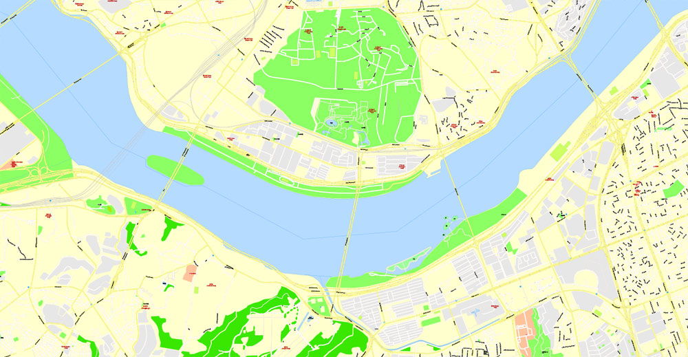
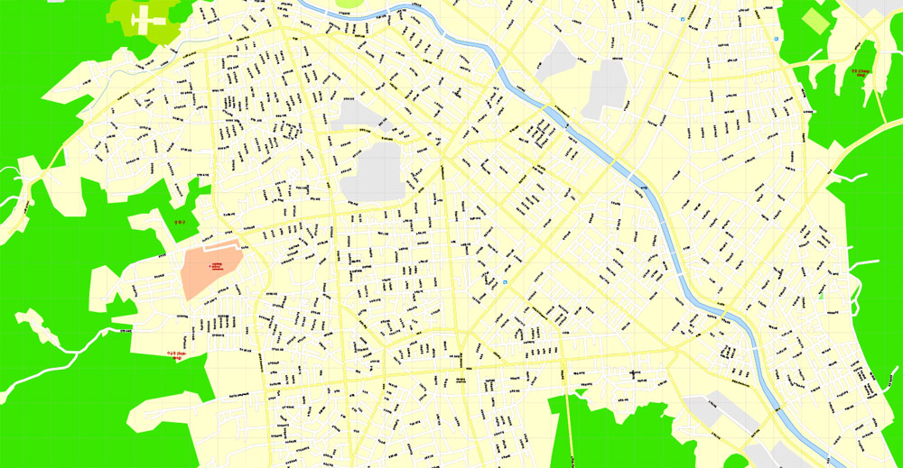
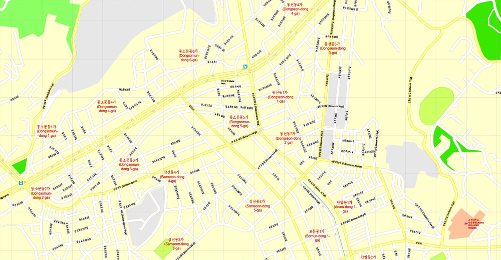
PDF Map Seoul, South Korea, exact vector street G-View Plan City Level 17 (100 meters scale) map, V.06.02. fully editable, Adobe PDF, full vector, scalable, editable text format of street names, 48 Mb ZIP.
All streets named, main objects, no buildings. Map for publishing, design, printing, publications, arts, projects, presentations, for architects, designers and builders, business, logistics. The most exact and detailed map.
Separated layers: streets and roads, color fills, road labels, names 1,2,3, street arrows, objects, scales, grids, legend.
For printing Large (Wall) format.
You can edit this file by Adobe Illustrator, Adobe Acrobat, Corel Draw.
DWG, DXF, CDR, ESRI Shapes, and other formats – by request, same price, please contact.
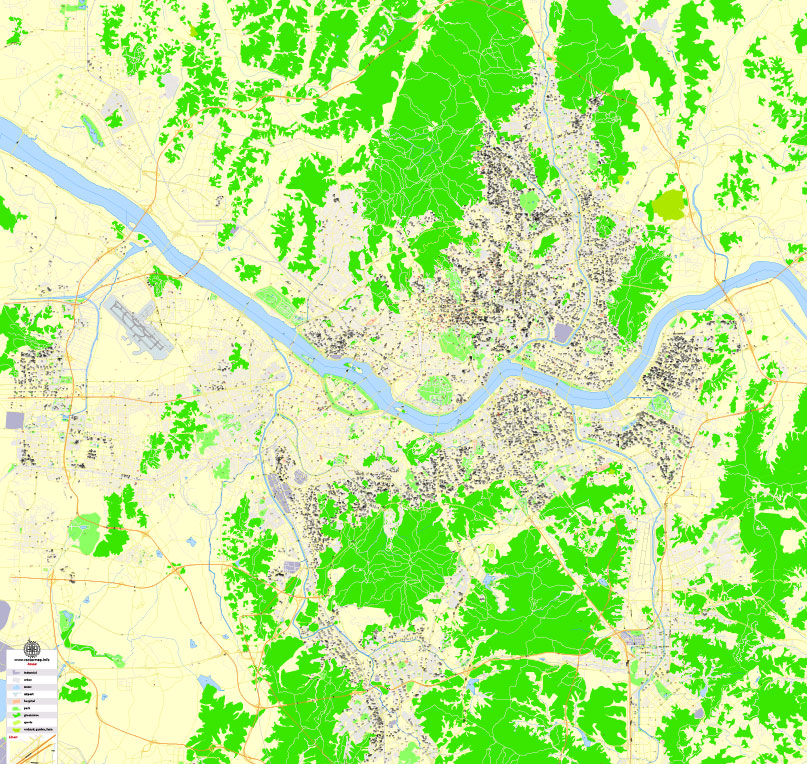
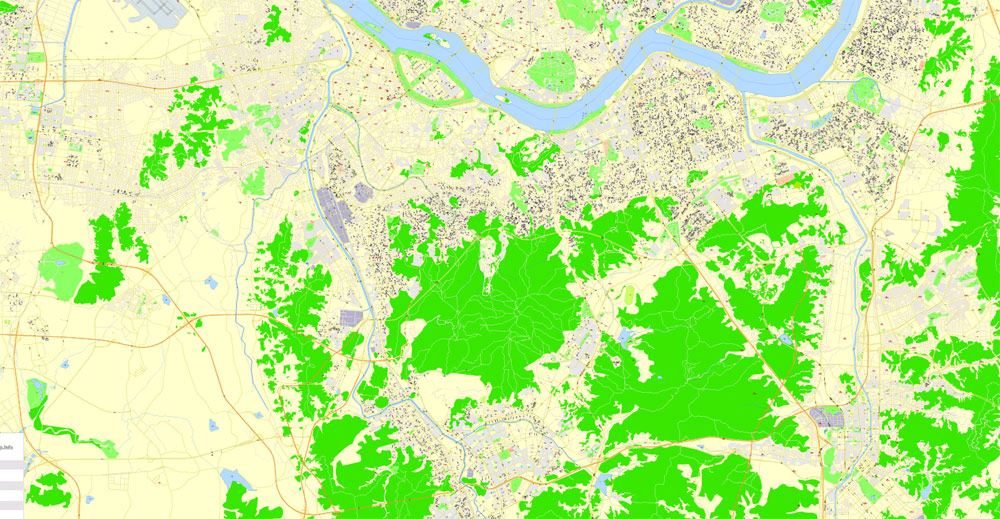
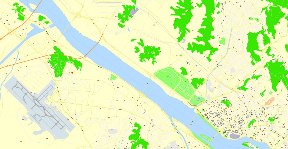
Seoul, South Korea.
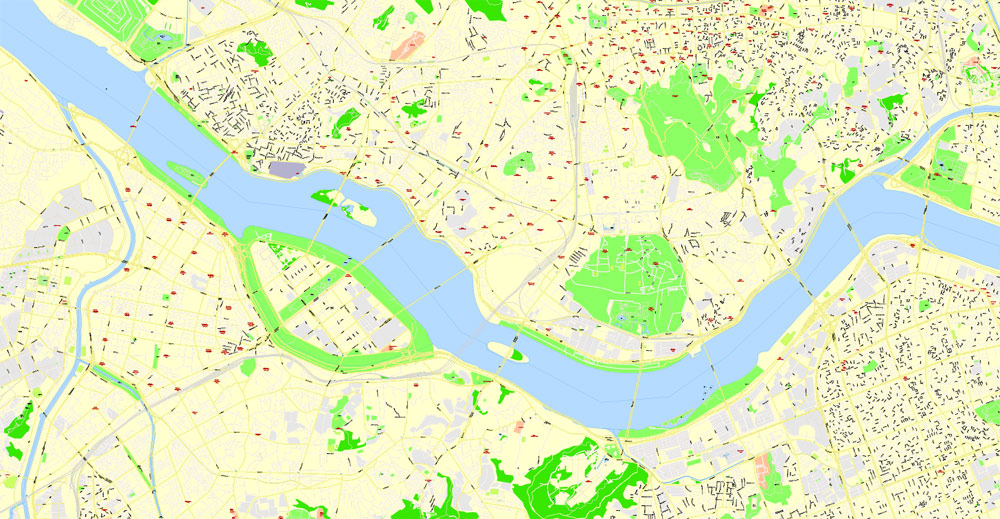
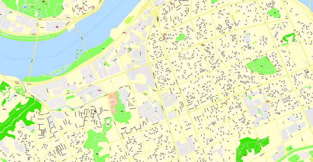
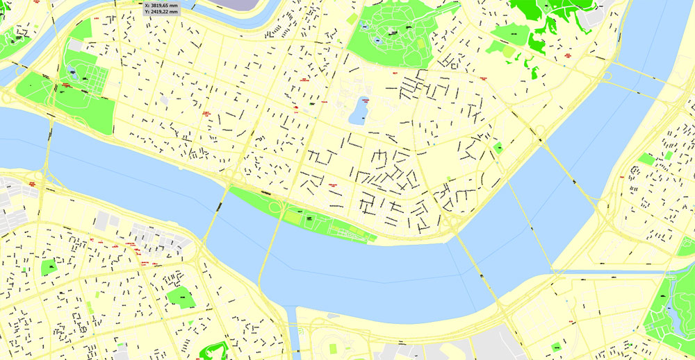
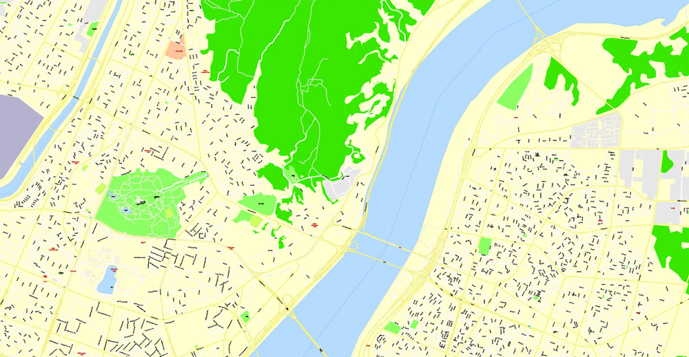
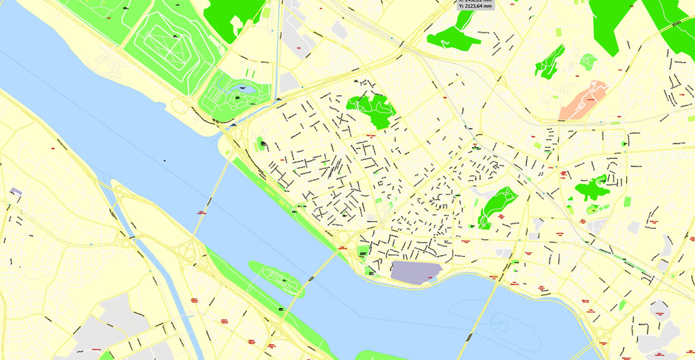
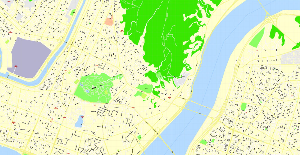
This vector map of Seoul city is used as a basis for design, editing, and further printing.
This is the most detailed, exact map of Seoul city for high-quality printing and polygraphy. You can always clarify the map development date by contacting us.
For your convenience, all objects on Seoul vector city map are divided into layers. And the editing is very easy – colors, lines, etc.
You can easily add any objects needed (e.g. shops, salons, sale points, gas station or attraction) on any layer of Seoul vector map.
Seoul is the capital and largest metropolis of South Korea. With surrounding Incheon metropolis and Gyeonggi province, Seoul forms the heart of the Seoul Capital Area, home to roughly half of the country’s population. Seoul is ranked as the fourth largest metropolitan economy in the world and is larger than London and Paris.
Strategically situated on the Han River, Seoul’s history stretches back over two thousand years, when it was founded in 18 BCE by the people of Baekje, one of the Three Kingdoms of Korea. The city was later designated the capital of Korea under the Joseon dynasty. Seoul is surrounded by a mountainous and hilly landscape, with Bukhan Mountain located on the northern edge of the city. As with its long history, the Seoul Capital Area contains five UNESCO World Heritage Sites: Changdeok Palace, Hwaseong Fortress, Jongmyo Shrine, Namhansanseong and the Royal Tombs of the Joseon Dynasty. More recently, Seoul has been a major site of modern architectural construction – major modern landmarks include the N Seoul Tower, the 63 Building, the Lotte World Tower, the Dongdaemun Design Plaza, Lotte World, Trade Tower, COEX, and the Parc1 Tower. Seoul was named the 2010 World Design Capital. As the birthplace of K-pop and the Korean Wave, Seoul received over 10 million international visitors in 2014, making it the world’s 9th most visited city and 4th largest earner in tourism.
One of the advantages of Seoul city vector maps of our production is the relevance of cartographic data, we constantly update all our products.
This vector map of Seoul city is used by:
designers, layout designers, printers, advertisers and architects. Our product – vector maps – is designed for further editing and printing in large formats – from @Wall format (a few meters) to A-0 and A-1, A-2, A-3.
The Seoul city map in vector format is used for design, urban planning, presentations and media visualizations.
The advertising and presentation map of Seoul city (usually the final designer marks the routes, and puts the client’s objects (shops, saloons, gas stations etc.)
The undoubted advantage is that people will NEVER throw out this advertising product – the map. In fact, as an advertising medium, a city map is the most “long-playing” of the well-known polygraphic advertising media, with the longest lifespan, and the maximum number of interactions with the customer.
For travelers, maps are sold at the airports and gas stations around the world. Often the source is our vector maps.
Take a look, who purchases our vector maps of Seoul city in “Our Clients and Friends” page – these are large and small companies, from super-brands like Volvo and Starbucks, to small design studios and printing houses.
It’s very easy to work with vector maps of Seoul city, even for a not very experienced designer who can turn on and off the map layers, add new objects, change the colors of fill and lines according to customer requirements.
Today, Seoul is considered a leading and rising global city, resulting from a South Korean economic boom called the Miracle on the Han River, which transformed it to the world’s 4th largest metropolitan economy with a GDP of US$845.9 billion in 2014 after Tokyo, New York City and Los Angeles. International visitors generally reach Seoul via AREX from the Incheon International Airport, notable for having been rated the best airport for nine consecutive years (2005–2013) by the Airports Council International. In 2015, it was rated Asia’s most livable city with the second highest quality of life globally by Arcadis, with the GDP per capita (PPP) in Seoul being $39,786. Inhabitants of Seoul are faced with a high cost of living, for which the city was ranked 6th globally in 2017. Seoul is also an extremely expensive real estate market, ranked 7th in the world for the price of apartments in the downtown center. With major technology hubs centered in Gangnam and Digital Media City, the Seoul Capital Area is home to the headquarters of 15 Fortune Global 500 companies, including Samsung, LG, and Hyundai. Ranked sixth in the Global Power City Index and Global Financial Centres Index, the metropolis exerts a major influence in global affairs as one of the five leading hosts of global conferences. Seoul has hosted the 1986 Asian Games, 1988 Summer Olympics, 2002 FIFA World Cup, and more recently the 2010 G-20 Seoul summit.
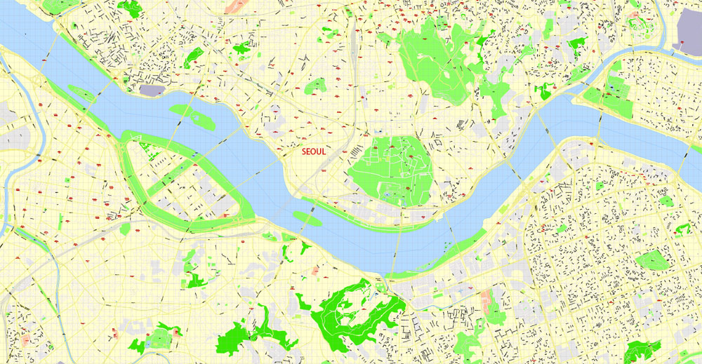
The undoubted advantage of Seoul city vector maps in printing is an excellent and detailed visualization, when customer can expand a large paper map and instantly define his location, find a landmark, an object or address on map, unlike using the popular electronic formats of Google and Yandex maps for example.
Printable vector maps of Seoul city are much more convenient and efficient than any electronic maps on your smartphone, because ALL DETAILS are displayed in the entire space of Seoul city map.
Useful tips on working with vector maps of cities and countries in Adobe Illustrator.
«V» – launches the Selection tool (cursor, black arrow), which makes active any vector line.
«А» – launches the Direct Selection tool (white cursor), allows you to select curve elements and drag them to the desired place.
«R» – activates the Rotate tool, which helps you rotating selected objects around the center point by 360 degrees.
«E» – gives you the opportunity to use the Eraser tool and erase unnecessary parts.
«X» – switches between Fill and Stroke in the Tools section. Try to get used to this hot key and
you will quickly understand that you can’t live and work without it.
Guides are not limited to vertical and horizontal in Adobe Illustrator. You can also create a diagonal guide for example. Moreover, you can turn any contours into guides. Select the outline and go to View > Guides > Make Guides (Create Guides), or simply press Cmd/Ctrl + 5. You can also turn the guides back into an editable object. Go to menu, View > Guides > Unlock Guides (Release Guides), select the guide you want to edit and select View > Guides > Release Guides (Reset Guides), or just press Cmd/Ctrl + Option / Alt + 5).
You will probably want to change the color scheme used on our Seoul vector city map.
To quickly and effectively play with colors.
Of course, you can do it manually, all objects in our Seoul city vector map are divided according to types and layers, and you can easily change the color gamma of vector objects in groups and layers.
But there is more effective way of working with the whole VECTOR MAP of Seoul city and all layers:
The overview dialog «Edit colors»/«Repaint Graphic Object» (this dialog box name can change depending on the context):
If you have selected a part or a layer of Seoul city vector map and open the dialog box by clicking the icon in the Control panel, on the Samples palette or the Color Catalog, or if you choose Edit > Edit Colors> Repaint Graphic Object, then the «Repaint Graphic Object» dialog box appears, and you get access to «Assign» and «Edit» tabs.
If a picture or a map fragment is not selected, and you open the dialog box by clicking the icon in the Control panel, on the Samples palette or in the Color Catalog, the «Edit Colors» dialog box appears and you can only access the «Edit» tab.
Regardless of the name at the top of the dialog box, the right-hand side always displays the color group of the current document, as well as two default color groups: Print Color and Grayscale. These color groups can be selected and used any time.
Create and edit color groups of Seoul city vector map, and also assign colors using the «Edit Colors»/ а «Repaint Graphic Object» dialog box.
A. Creating and editing of a color group on the «Edit» tab
B. Assigning colors on the «Assign» tab
C. Select a group of colors from the «Color groups» list
The option «Repaint a graphic object» in the lower part of the dialog box allows you to preview the colors on a selected layer of Vector map, or a group of elements, and specify whether its colors will be redefined when the dialog box is closed.
The main areas of the dialog box are:
«Edit»
The «Edit» tab is designed to create a new or edit the existing color groups.
The harmony rules Menu and the Color Wheel are used to conduct experiments with color harmonies. The color wheel shows how colors are related in color harmony, and the color bars allow you to view and manipulate an individual color values. In addition, you can adjust the brightness, add and remove colors, save color groups and view colors on the selected Vector Map of Seoul city or a separated layers.
«Assign»
The «Assign» tab is used to view and control on how the original colors are replaced with colors from the color group like your corporate colors in the Vector Map of Seoul city.
The assign color ability is provided only if the entire map, layer or fragment is selected in the document. You can specify which of new colors replace the current colors, whether the spot colors should be preserved and how colors are replaced (for example, you can replace colors completely or changing the color tone while maintaining the brightness). The «Assign» tab allows you to redefine colors in the Vector Map of Seoul city, or in separate layers and fragments using the current color group or reducing the number of colors in the current Vector Map.
Color groups
Is a list of all saved color groups for current document (the same groups appear in the «Samples» palette). You can edit and delete the existing color groups, as well as creating a new ones using the list of “Color Groups” in the dialog box. All changes appear in the «Samples» palette.
The highlighted color group shows, which color group is currently edited.
Any color group can be selected and edited, or used to redefine the colors in the selected vector map of Seoul city, its fragments or elements.
Saving a color group adds this group to the specified list.
Opening the «Edit Colors»/«Repaint Graphic Object» dialog box.
Open the «Edit Colors»/«Repaint Graphic Object» dialog box using one of the following methods:
«Edit»> «Edit Colors»> «Repaint Graphic object» or «Repaint With Style».
Use these commands if you need to edit the colors in the selected vector map of Seoul city.
«Repaint Graphic object» button on the «Control» panel.
Use this button if you need to adjust colors of Seoul city vector map using the а «Repaint graphic object» dialog box.
The specified button is available if the selected vector map or its fragment contains two or more colors.
Note. This color editing method is convenient for global color adjustment in a vector map, if global colors were not used when creating a City Map of Seoul.
The «Edit colors» button or «Edit or apply colors» on the «Color Catalog» palette
Click this button if you need to edit colors on the «Color Catalog» palette or edit and then apply them to the selected Vector Map of Seoul city or its fragment.
The «Edit color group» button or «Edit or apply color group» on the «Samples» palette.
Click this button if you need to edit the colors in the specific color group or edit and apply them to the selected Vector Map of Seoul city or a group of its elements, for example, the whole layer “Streets and lines”. You can also double-click the color group in the Samples panel to open the dialog box.
If the map file is too large and your computer freezes or even can’t open it quickly:
1. Try to reduce the color resolution of the video card (display) to 256 colors while working with a large map.
2. Using Windows Task Manager, select all the application you don’t need, while working with map, just turn them off.
3. Launch Adobe Illustrator. (DO NOT OPEN the vector map file)
4. Start the Windows Task Manager using administrator rights > Find the “Illustrator” process > set the «real time» priority,
5. Open the file. When you see the LEGACY FONT popup window – click “OK” (do not update). You can restore the TEXT later.
6. Can also be useful: When file is opened – Edit > Settings > Basic Settings > disable smoothing. /// It looks scary, but works quickly)))
We recommend saving the file in Adobe Illustrator 10 version. It’s much more stable when working with VERY BIG size files.
Geography
Seoul is in the northwest of South Korea. Seoul proper comprises 605.25 km2 (233.69 sq mi), with a radius of approximately 15 km (9 mi), roughly bisected into northern and southern halves by the Han River. The Han River and its surrounding area played an important role in Korean history. The Three Kingdoms of Korea strove to take control of this land, where the river was used as a trade route to China (via the Yellow Sea). The river is no longer actively used for navigation, because its estuary is located at the borders of the two Koreas, with civilian entry barred. Historically, the city was during the Joseon dynasty bounded by the Seoul Fortress Wall, which stretched between the four main mountains in central Seoul: Namsan, Naksan, Bukhansan and Inwangsan. The city is bordered by eight mountains, as well as the more level lands of the Han River plain and western areas. Due to its geography and to economic development policies, Seoul is a very polycentric city. The area that was the old capital in the Joseon dynasty, and mostly comprises Jongno District and Jung District, constitutes the historical and political center of the city. However, for example, the city’s financial capital is widely considered to be in Yeouido, while its economic capital is Gangnam District.
Climate
Under the Köppen climate classification, Seoul has a humid continental climate, also bordering a humid subtropical climate. The suburbs of Seoul are generally cooler than the center of Seoul because of the urban heat island effect. Summers are generally hot and humid, with the East Asian monsoon taking place from June until September. August, the warmest month, has average high and low temperatures of 29.6 and 22.4 °C (85 and 72 °F) with higher temperatures possible. Winters are usually cold to freezing with average January high and low temperatures of 1.5 and −5.9 °C (34.7 and 21.4 °F) and are generally much drier than summers, with an average of 24.9 days of snow annually. Sometimes, temperatures drop dramatically to below −10 °C (14 °F), and on some occasions as low as −15 °C (5 °F) in the mid winter period of January and February. Temperatures below −20 °C (−4 °F) have been recorded.
Seoul
Capital of South Korea
Seoul, the capital of South Korea, is a huge metropolis where modern skyscrapers, high-tech subways and pop culture meet Buddhist temples, palaces and street markets. Notable attractions include futuristic Dongdaemun Design Plaza, a convention hall with curving architecture and a rooftop park; Gyeongbokgung Palace, which once had more than 7,000 rooms; and Jogyesa Temple, site of ancient locust and pine trees.
Area
• Special city 605.21 km2 (233.67 sq mi)
Elevation 38 m (125 ft)
Population
• Special city 10,290,000
• Metro 25,600,000
Free vector map China + Mongolia + North Korea + South Korea, Adobe Illustrator, download now maps vector clipart >>>>>
Map for design, projects, presentation, free to use as you like.
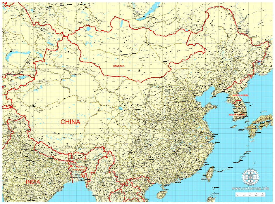
Small guide: How to work with the vector map?
You can: Mass select objects by type and color – for example, the objects type “building” (they are usually dark gray) – and remove them from the map, if you do not need them in your print or design project. You can also easily change the thickness of lines (streets), just bulk selection the road by the line color.
The streets are separated by type, for example, type “residential road” are usually white with a gray stroke. Highway usually orange with a brown or dark gray stroke.
It is easy to change the font of inscriptions, all or each individually. Also, just can be make and any other manipulation of objects on the vector map in Adobe illustrator format.
Important: All the proportions on the map are true, that is, the relative sizes of the objects are true, because Map is based on an accurate GPS projection, and It transated into the (usual for all) the Mercator projection.
You can easily change the color, stroke and fill of any object on the map, zoom without loss of quality Image Verification.


 Author: Kirill Shrayber, Ph.D. FRGS
