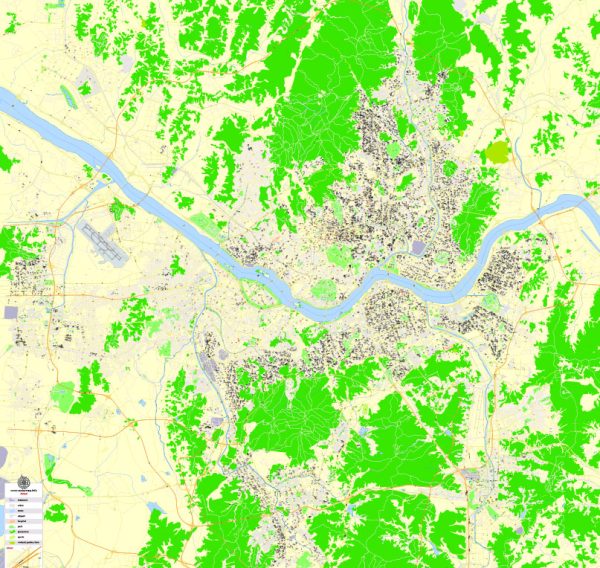
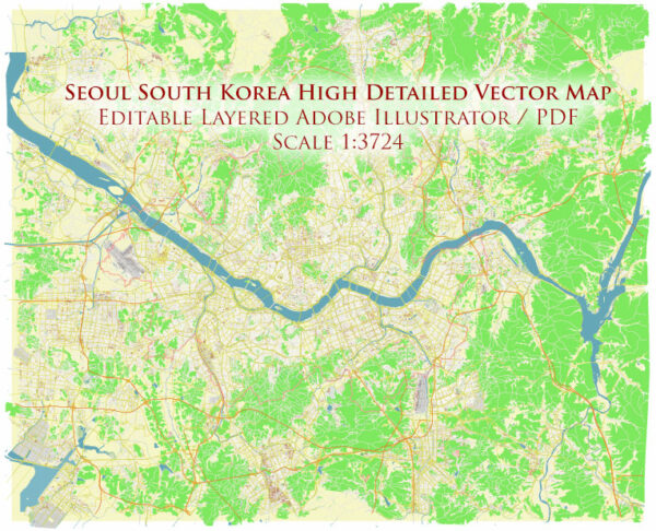
Seoul, the capital city of South Korea, is situated along the banks of the Han River, which is the principal waterway flowing through the city. The Han River plays a significant role in the geography and life of Seoul, and several bridges connect the city across the river. Here are some key features of Seoul’s principal waterways, bridges, and main streets:
Waterways:
Han River (Hangang):
- The Han River is the main waterway that flows through Seoul, dividing the city into northern and southern regions.
- It is a significant cultural and recreational area, featuring parks, cycling paths, and various recreational facilities along its banks.
- The river is spanned by several bridges, providing both transportation links and scenic views of the city.
Bridges:
- Banpo Bridge:
- Known for the Moonlight Rainbow Fountain, which is the world’s longest bridge fountain.
- Connects the districts of Seocho and Yongsan.
- Mapo Bridge:
- Connects the districts of Mapo and Yeongdeungpo.
- Features the “Mapo Bridge Seoul Lantern Festival” annually.
- Dongho Bridge:
- Connects the districts of Yongsan and Dongjak.
- Important for transportation between the southern and central parts of Seoul.
- Seongsu Bridge:
- Connects the districts of Seongdong and Gangnam.
- An iconic bridge with a distinctive design.
- Hangang Railway Bridge:
- Carries both trains and pedestrian paths, offering a unique view of the Han River.
Main Streets:
- Sejong-daero:
- One of the major boulevards in Seoul, running through the heart of the city.
- Home to important government buildings, including the Gyeongbokgung Palace and the Blue House (Cheong Wa Dae).
- Gangnam-daero:
- Located in the Gangnam district, a bustling street known for its vibrant nightlife, upscale shopping, and entertainment.
- Jongno Street:
- Historic street in central Seoul, lined with traditional and modern shops.
- Connects important landmarks such as Gyeongbokgung Palace and Jogyesa Temple.
- Itaewon-ro:
- Famous for its diverse range of international cuisine and a popular destination for expatriates.
- Located in the Itaewon district.
- Apgujeong-ro:
- Located in the upscale district of Gangnam, known for its high-end fashion boutiques and trendy shops.
These are just a few examples, and Seoul has a comprehensive network of streets, bridges, and waterways that contribute to its dynamic urban landscape. The cityscape seamlessly blends modern architecture with historical landmarks, creating a vibrant and unique atmosphere.
Vectormap.Net provide you with the most accurate and up-to-date vector maps in Adobe Illustrator, PDF and other formats, designed for editing and printing. Please read the vector map descriptions carefully.


 Author: Kirill Shrayber, Ph.D.