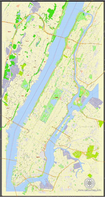
Manhattan, located at the heart of New York City, has a rich industrial history shaped by its strategic location, natural resources, and economic development over the centuries. The island’s growth as an economic powerhouse can be traced through its industrial evolution, port infrastructure, and road systems.
Vectormap.Net provide you with the most accurate and up-to-date vector maps in Adobe Illustrator, PDF and other formats, designed for editing and printing. Please read the vector map descriptions carefully.
Industrial History:
- Colonial Era (1600s-1700s): Manhattan’s early economy was primarily agrarian, with Dutch and English settlers engaging in farming and fur trading. The island’s natural harbor made it a hub for shipping and trade.
- Early Industrialization (1800s): The construction of the Erie Canal in 1825 connected the Great Lakes to the Hudson River, providing Manhattan with access to the vast interior of the United States. This fueled industrialization, attracting manufacturing industries and enhancing trade.
- Port of New York (19th Century): The growth of the Port of New York, encompassing Manhattan’s waterfront, was integral to its industrialization. The port became a major gateway for immigrants arriving in the United States and a key hub for global trade.
- Post-Industrial Revolution (Late 19th Century): The late 19th century saw the rise of industries such as textiles, garment manufacturing, and printing. Factories and warehouses lined the waterfront, contributing to the island’s economic development.
- Financial and Service Sector Dominance (20th Century): As the 20th century progressed, Manhattan’s economy shifted towards the financial and service sectors. Wall Street became synonymous with global finance, while the island continued to serve as a cultural and commercial hub.
Port Infrastructure:
- West Side Piers: The western shore of Manhattan was lined with piers and docks, facilitating maritime trade. These piers handled goods ranging from raw materials to finished products and played a crucial role in the city’s economic development.
- Brooklyn-Battery Tunnel: Opened in 1950, the Brooklyn-Battery Tunnel (now Hugh L. Carey Tunnel) connected Manhattan to Brooklyn, improving access for goods and commuters. This underwater tunnel was a significant addition to the city’s transportation infrastructure.
- Containerization (Mid-20th Century): The advent of containerization revolutionized shipping, and Manhattan adapted by modernizing its port facilities to handle containerized cargo efficiently.
Road Systems:
- Grid System: Manhattan’s iconic grid system was implemented in the early 19th century, creating a network of streets and avenues that facilitated urban development. This grid system remains a hallmark of the city’s layout.
- Bridges and Tunnels: Besides the Brooklyn-Battery Tunnel, other bridges and tunnels connect Manhattan to neighboring boroughs and New Jersey, enhancing transportation links. Examples include the George Washington Bridge and the Lincoln Tunnel.
- Freeways and Expressways: The construction of freeways and expressways, such as the FDR Drive along the East River and the West Side Highway, improved intra-city transportation and connectivity.
- Public Transportation: Manhattan boasts an extensive public transportation network, including the subway system and buses, which play a crucial role in moving residents and workers throughout the island.
Manhattan’s industrial history, port facilities, and road systems collectively reflect the island’s evolution from a colonial trading post to a global economic and cultural center. The continuous adaptation of infrastructure has been essential in supporting the city’s growth and maintaining its status as a vital economic hub.


 Author: Kirill Shrayber, Ph.D.