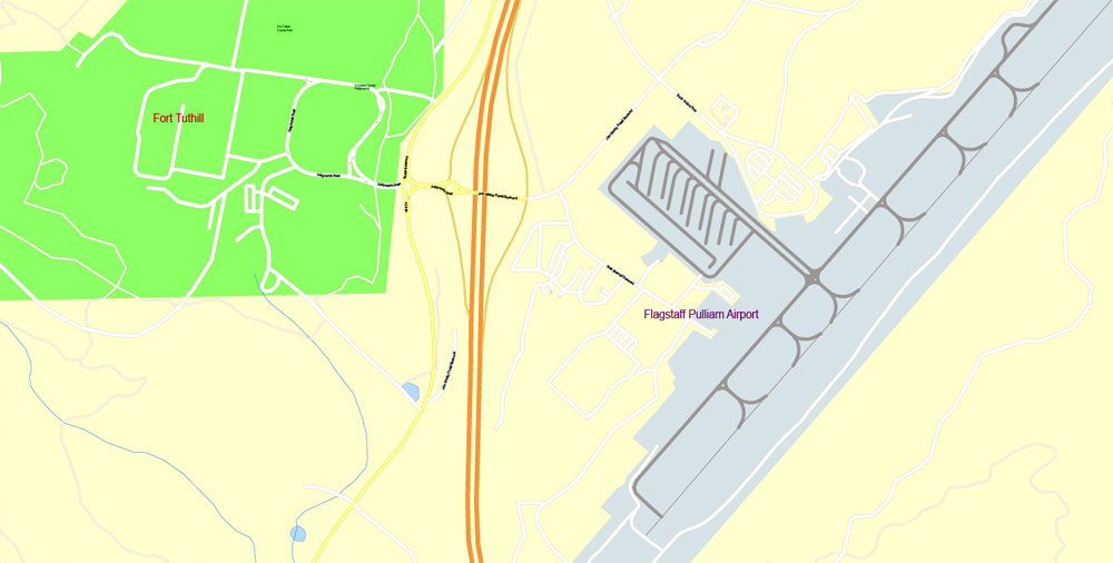
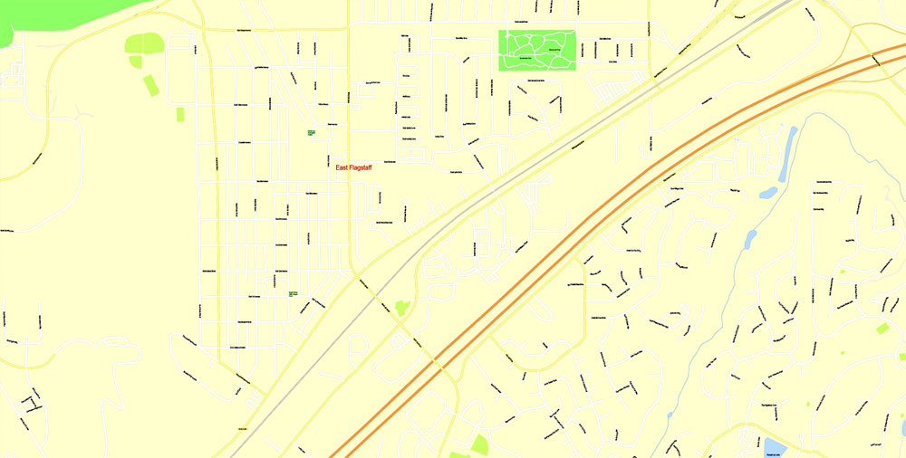
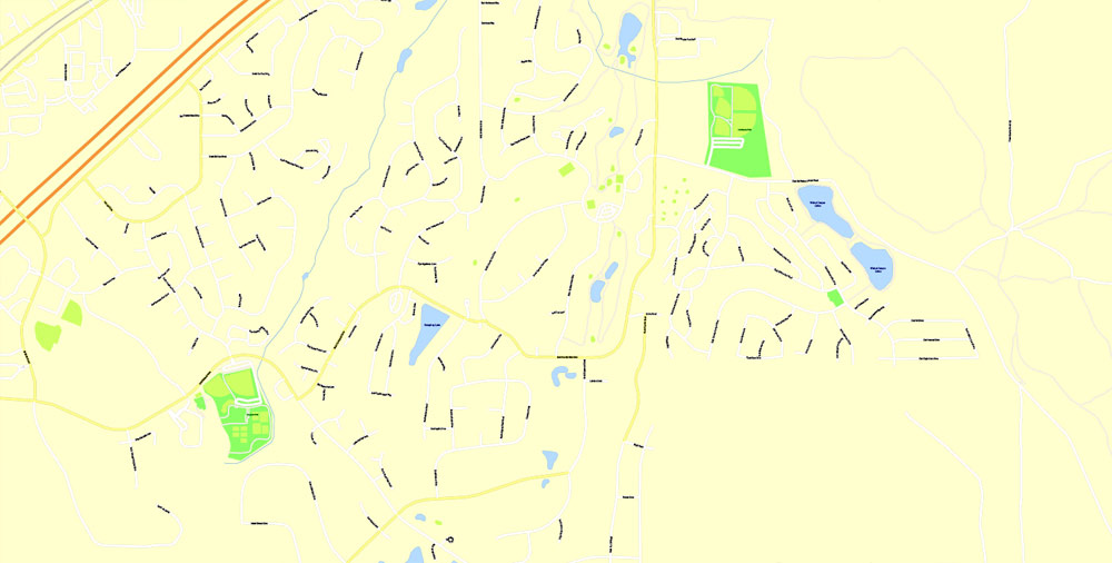
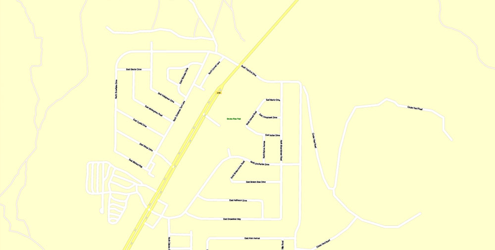
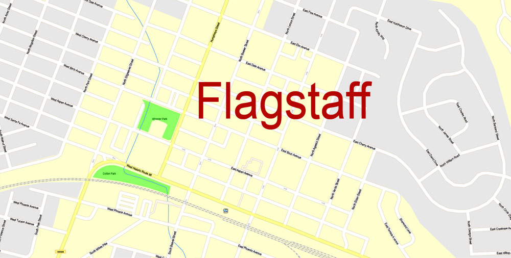
PDF Map Flagstaff, Arizona, US, exact vector Map street G-View City Plan Level 17 (100 meters scale) full editable, Adobe PDF, full vector, scalable, editable text format street names, 7 mb ZIP
All streets named, Main Objects, No buildings. Map for design, printing, arts, projects, presentations, for architects, designers and builders, business, logistics.
Layers: color fills, streets_roads, arrows_streets, labels_roads, objects, names objects,
names_streets, names_places, grids, legend.
The most exact and detailed map of the city.
For print LARGE (WALL) format.
You can edit this file by Adobe Illustrator, Adobe Acrobat, Corel Draw.
DWG, DXF, CDR and other formats – on request, same price, please, contact
Flagstaff, Arizona
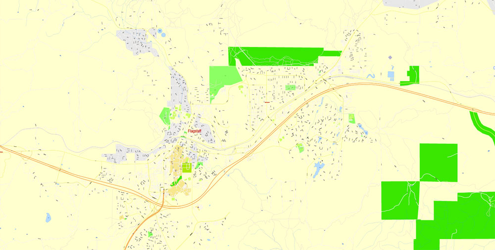
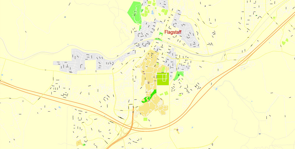
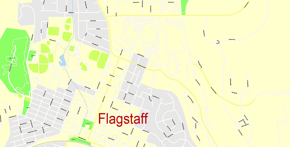
This vector map of Flagstaff city is used as a basis for design, editing, and further printing.
This is the most detailed, exact map of Flagstaff city for high-quality printing and polygraphy. You can always clarify the map development date by contacting us.
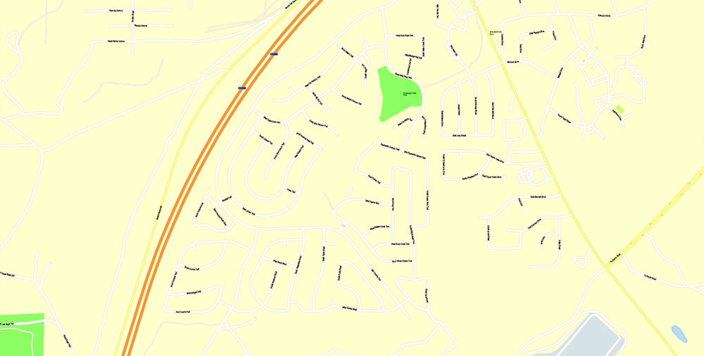
For your convenience, all objects on Flagstaff vector city map are divided into layers. And the editing is very easy – colors, lines, etc.
You can easily add any objects needed (e.g. shops, salons, sale points, gas station or attraction) on any layer of Flagstaff vector map.
One of the advantages of Flagstaff city vector maps of our production is the relevance of cartographic data, we constantly update all our products.
Flagstaff is a city in and the county seat of Coconino County in northern Arizona, in the southwestern United States. In 2015, the city’s estimated population was 70,320. Flagstaff’s combined metropolitan area has an estimated population of 139,097. The city is named after a ponderosa pine flagpole made by a scouting party from Boston (known as the “Second Boston Party”) to celebrate the United States Centennial on July 4, 1876.

This vector map of Flagstaff city is used by:
designers, layout designers, printers, advertisers and architects. Our product – vector maps – is designed for further editing and printing in large formats – from @Wall format (a few meters) to A-0 and A-1, A-2, A-3.
The Flagstaff city map in vector format is used for design, urban planning, presentations and media visualizations.
The advertising and presentation map of Flagstaff city (usually the final designer marks the routes, and puts the client’s objects (shops, saloons, gas stations etc.)
The undoubted advantage is that people will NEVER throw out this advertising product – the map. In fact, as an advertising medium, a city map is the most “long-playing” of the well-known polygraphic advertising media, with the longest lifespan, and the maximum number of interactions with the customer.
For travelers, maps are sold at the airports and gas stations around the world. Often the source is our vector maps.
Take a look, who purchases our vector maps of Flagstaff city in “Our Clients and Friends” page – these are large and small companies, from super-brands like Volvo and Starbucks, to small design studios and printing houses.
It’s very easy to work with vector maps of Flagstaff city, even for a not very experienced designer who can turn on and off the map layers, add new objects, change the colors of fill and lines according to customer requirements.
The undoubted advantage of Flagstaff city vector maps in printing is an excellent and detailed visualization, when customer can expand a large paper map and instantly define his location, find a landmark, an object or address on map, unlike using the popular electronic formats of Google and Yandex maps for example.
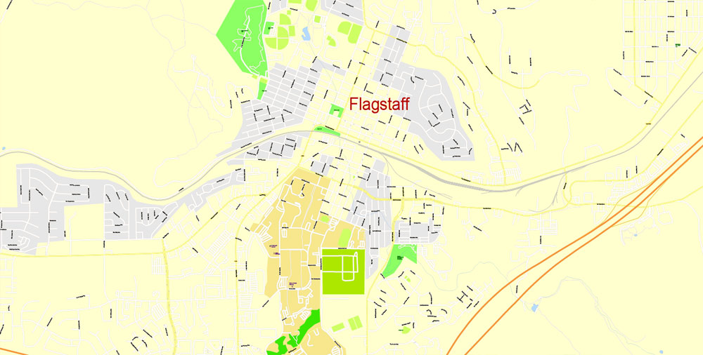
Flagstaff lies near the southwestern edge of the Colorado Plateau, along the western side of the largest contiguous ponderosa pine forest in the continental United States. Flagstaff is next to Mount Elden, just south of the San Francisco Peaks, the highest mountain range in the state of Arizona. Humphreys Peak, the highest point in Arizona at 12,633 feet (3,851 m), is about 10 miles (16 km) north of Flagstaff in Kachina Peaks Wilderness.
Printable vector maps of Flagstaff city are much more convenient and efficient than any electronic maps on your smartphone, because ALL DETAILS are displayed in the entire space of Flagstaff city map.
Useful tips on working with vector maps of cities and countries in Adobe Illustrator.
«V» – launches the Selection tool (cursor, black arrow), which makes active any vector line.
«А» – launches the Direct Selection tool (white cursor), allows you to select curve elements and drag them to the desired place.
«R» – activates the Rotate tool, which helps you rotating selected objects around the center point by 360 degrees.
«E» – gives you the opportunity to use the Eraser tool and erase unnecessary parts.
«X» – switches between Fill and Stroke in the Tools section. Try to get used to this hot key and
you will quickly understand that you can’t live and work without it.
Guides are not limited to vertical and horizontal in Adobe Illustrator. You can also create a diagonal guide for example. Moreover, you can turn any contours into guides. Select the outline and go to View > Guides > Make Guides (Create Guides), or simply press Cmd/Ctrl + 5. You can also turn the guides back into an editable object. Go to menu, View > Guides > Unlock Guides (Release Guides), select the guide you want to edit and select View > Guides > Release Guides (Reset Guides), or just press Cmd/Ctrl + Option / Alt + 5).
Flagstaff’s early economy was based on the lumber, railroad, and ranching industries. Today, the city remains an important distribution hub for companies such as Nestlé Purina PetCare, and is home to Lowell Observatory, The U.S. Naval Observatory, the United States Geological Survey Flagstaff Station, and Northern Arizona University. Flagstaff has a strong tourism sector, due to its proximity to Grand Canyon National Park, Oak Creek Canyon, the Arizona Snowbowl, Meteor Crater, and historic Route 66. The city is also a center for medical device manufacturing, since Flagstaff is home to W. L. Gore and Associates.
You will probably want to change the color scheme used on our Flagstaff vector city map.
To quickly and effectively play with colors.
Of course, you can do it manually, all objects in our Flagstaff city vector map are divided according to types and layers, and you can easily change the color gamma of vector objects in groups and layers.
But there is more effective way of working with the whole VECTOR MAP of Flagstaff city and all layers:
The overview dialog «Edit colors»/«Repaint Graphic Object» (this dialog box name can change depending on the context):
If you have selected a part or a layer of Flagstaff city vector map and open the dialog box by clicking the icon in the Control panel, on the Samples palette or the Color Catalog, or if you choose Edit > Edit Colors> Repaint Graphic Object, then the «Repaint Graphic Object» dialog box appears, and you get access to «Assign» and «Edit» tabs.
If a picture or a map fragment is not selected, and you open the dialog box by clicking the icon in the Control panel, on the Samples palette or in the Color Catalog, the «Edit Colors» dialog box appears and you can only access the «Edit» tab.
Geography
Flagstaff is located at 35°11′57″N 111°37′52″W. According to the United States Census Bureau, the city has a total area of 63.9 square miles (165.5 km2), of which only 0.03 square miles (0.08 km2) (0.08%) is water.
At 7,000 feet (2,130 m) elevation, next to the largest contiguous Ponderosa Pine forest in North America, Flagstaff is on a mountain surrounded by volcanoes, in the heart of the Coconino national forest. Any type of desert climate can be found below its elevation 100 miles from Flagstaff. The city is situated on the Rio de Flag, and is about 130 miles (210 km) north of Phoenix.
Regardless of the name at the top of the dialog box, the right-hand side always displays the color group of the current document, as well as two default color groups: Print Color and Grayscale. These color groups can be selected and used any time.
Create and edit color groups of Flagstaff city vector map, and also assign colors using the «Edit Colors»/ а «Repaint Graphic Object» dialog box.
A. Creating and editing of a color group on the «Edit» tab
B. Assigning colors on the «Assign» tab
C. Select a group of colors from the «Color groups» list
The option «Repaint a graphic object» in the lower part of the dialog box allows you to preview the colors on a selected layer of Vector map, or a group of elements, and specify whether its colors will be redefined when the dialog box is closed.
The main areas of the dialog box are:
«Edit»
The «Edit» tab is designed to create a new or edit the existing color groups.
The harmony rules Menu and the Color Wheel are used to conduct experiments with color harmonies. The color wheel shows how colors are related in color harmony, and the color bars allow you to view and manipulate an individual color values. In addition, you can adjust the brightness, add and remove colors, save color groups and view colors on the selected Vector Map of Flagstaff city or a separated layers.
«Assign»
The «Assign» tab is used to view and control on how the original colors are replaced with colors from the color group like your corporate colors in the Vector Map of Flagstaff city.
The assign color ability is provided only if the entire map, layer or fragment is selected in the document. You can specify which of new colors replace the current colors, whether the spot colors should be preserved and how colors are replaced (for example, you can replace colors completely or changing the color tone while maintaining the brightness). The «Assign» tab allows you to redefine colors in the Vector Map of Flagstaff city, or in separate layers and fragments using the current color group or reducing the number of colors in the current Vector Map.
Color groups
Is a list of all saved color groups for current document (the same groups appear in the «Samples» palette). You can edit and delete the existing color groups, as well as creating a new ones using the list of “Color Groups” in the dialog box. All changes appear in the «Samples» palette.
The highlighted color group shows, which color group is currently edited.
Any color group can be selected and edited, or used to redefine the colors in the selected vector map of Flagstaff city, its fragments or elements.
Saving a color group adds this group to the specified list.
Opening the «Edit Colors»/«Repaint Graphic Object» dialog box.
Open the «Edit Colors»/«Repaint Graphic Object» dialog box using one of the following methods:
«Edit»> «Edit Colors»> «Repaint Graphic object» or «Repaint With Style».
Use these commands if you need to edit the colors in the selected vector map of Flagstaff city.
«Repaint Graphic object» button on the «Control» panel.
Use this button if you need to adjust colors of Flagstaff city vector map using the а «Repaint graphic object» dialog box.
The specified button is available if the selected vector map or its fragment contains two or more colors.
Note. This color editing method is convenient for global color adjustment in a vector map, if global colors were not used when creating a City Map of Flagstaff.
The «Edit colors» button or «Edit or apply colors» on the «Color Catalog» palette
Click this button if you need to edit colors on the «Color Catalog» palette or edit and then apply them to the selected Vector Map of Flagstaff city or its fragment.
The «Edit color group» button or «Edit or apply color group» on the «Samples» palette.
Click this button if you need to edit the colors in the specific color group or edit and apply them to the selected Vector Map of Flagstaff city or a group of its elements, for example, the whole layer “Streets and lines”. You can also double-click the color group in the Samples panel to open the dialog box.
If the map file is too large and your computer freezes or even can’t open it quickly:
1. Try to reduce the color resolution of the video card (display) to 256 colors while working with a large map.
2. Using Windows Task Manager, select all the application you don’t need, while working with map, just turn them off.
3. Launch Adobe Illustrator. (DO NOT OPEN the vector map file)
4. Start the Windows Task Manager using administrator rights > Find the “Illustrator” process > set the «real time» priority,
5. Open the file. When you see the LEGACY FONT popup window – click “OK” (do not update). You can restore the TEXT later.
6. Can also be useful: When file is opened – Edit > Settings > Basic Settings > disable smoothing. /// It looks scary, but works quickly)))
We recommend saving the file in Adobe Illustrator 10 version. It’s much more stable when working with VERY BIG size files.
Cityscape
San Francisco Peaks from Flagstaff
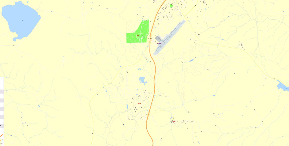
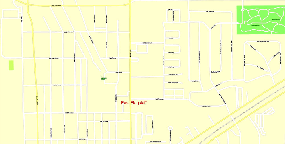
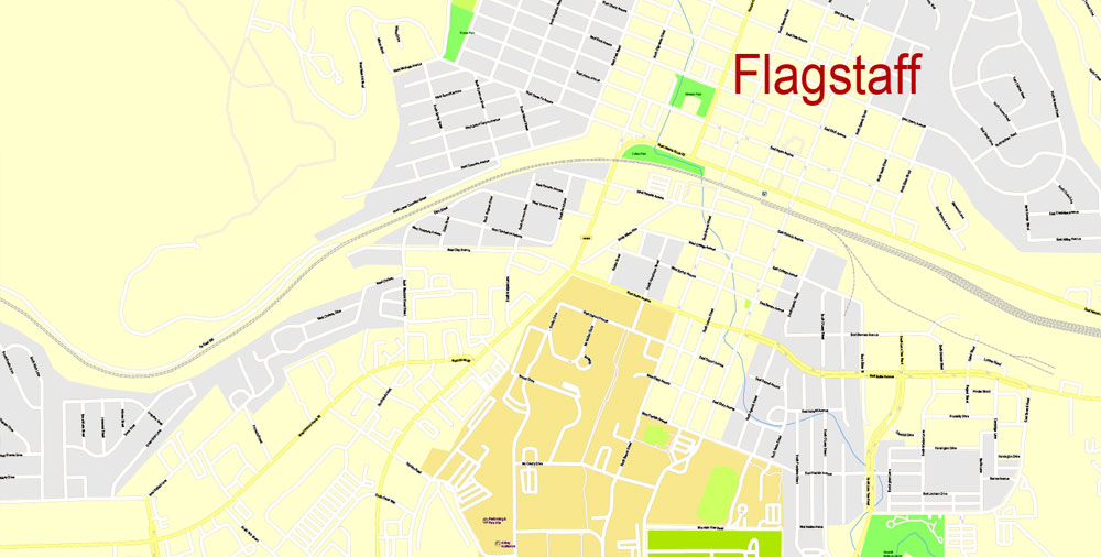
Downtown Flagstaff lies immediately to the east of Mars Hill, the location of Lowell Observatory. Streets in the downtown area are laid out in a grid pattern, parallel to Route 66 and the Burlington Northern Santa Fe Rail Line, running east–west through the city. Milton Road branches off from Route 66 west of downtown, and travels south, adjacent to the Northern Arizona University campus, to the junction of Interstate 17 and Interstate 40. Milton Road becomes I-17. A road called Beulah Boulevard, which also runs south, becomes State Route 89A, and travels through Oak Creek Canyon to Sedona. Traveling north from downtown, Fort Valley Road (U.S. 180) connects with the Museum of Northern Arizona, Arizona Snowbowl, and Grand Canyon National Park. Traveling east from downtown, Route 66 and the railroad run in parallel toward East Flagstaff (and beyond), at the base of Mount Elden. Much of Flagstaff’s industry is east of downtown, adjacent to the railroad tracks, as well as in East Flagstaff.
Several towns are close to Flagstaff along Interstates 40 and 17. Approximately 6 miles (9.7 km) south are the small urban areas of Kachina Village (west of I-17) and Mountainaire (east of I-17; 2 miles (3.2 km)). About 35 miles (56 km) to the west is Williams, 20 miles (32 km) to the south is Munds Park, and 30 miles (48 km) to the south on Arizona Highway 89A is Sedona. 15 miles (24 km) to the east of Flagstaff is the town of Winona, mentioned in the famous song, Route 66.
Yuma
City in Arizona
Yuma is a city in and the county seat of Yuma County, Arizona, United States. It is located in the southwestern corner of the state, and the population of the city was 93,064 at the 2010 census, up from the 2000 census population of 77,515.
Yuma is the principal city of the Yuma, Arizona Metropolitan Statistical Area, which consists of Yuma County. According to the United States Census Bureau, the 2014 estimated population of the Yuma MSA is 203,247. More than 85,000 retirees make Yuma their winter residence.
Area
• City 106.7 sq mi (276.4 km2)
• Land 106.7 sq mi (276.2 km2)
• Water 0.1 sq mi (0.2 km2) 0.07%
Elevation 141 ft (43 m)
Population
• City 93,064
• Estimate 93,400
• Density 726.8/sq mi (280.6/km2)
• Urban 135,267 (US: 238th)
• Metro 203,247 (US: 214th)

Free Download Vector Map US County and State Adobe Illustrator
Free_Vector_Map_US_States_County_Map.ai
Free Download Vector Map US County and State Adobe PDF
Free_Vector_Map_US_States_County_Map.pdf

Free Download Vector Map US With States Names, Adobe Illustrator
Free_Map_of_USA_with_state_names_en.ai
Free Download Vector Map US With States Names, Adobe PDF
Free_Map_of_USA_with_state_names_en.pdf
From WIKI
Free vector map World, Adobe Illustrator, download now maps vector clipart
Map for design, projects, presentation free to use as you like.
See also: TERMS & CONDITIONS: SOFTWARE LICENSE AGREEMENT FOR DIGITAL CARTOGRAPHIC DATA.
Need more USA Vector Maps, printable and editable?

 Author: Kirill Shrayber, Ph.D. FRGS

