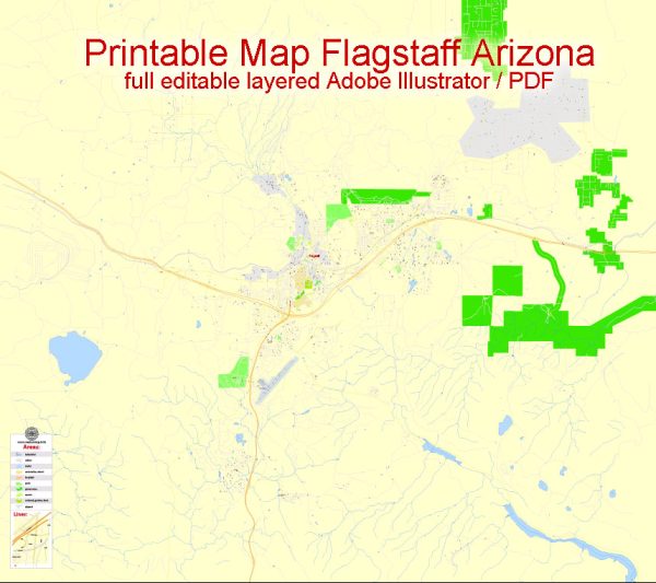
Flagstaff, Arizona, is a city with a well-organized street and road system. While I can’t provide real-time information or specific details, I can give you a general overview of some principal streets and roads in Flagstaff. Keep in mind that this information may change over time, and it’s always a good idea to refer to local maps or navigation systems for the most accurate and up-to-date information. Here are some notable streets and roads in Flagstaff:
- Route 66 (Historic Route 66): Running east-west through Flagstaff, Route 66 is a historic highway that passes through the downtown area. It is lined with shops, restaurants, and attractions.
- Interstate 40 (I-40): This major east-west interstate passes through Flagstaff, providing a crucial transportation route. It connects Flagstaff to cities like Williams, Winslow, and beyond.
- Milton Road: Running north-south, Milton Road is a significant thoroughfare in Flagstaff. It connects the downtown area to the northern parts of the city.
- Humphreys Street: This street runs north-south and is located to the west of downtown Flagstaff. It provides access to residential neighborhoods and parks.
- Country Club Drive: Situated on the east side of Flagstaff, Country Club Drive is a major road that connects the city to the Walnut Canyon National Monument area.
- Lake Mary Road: Running south from Flagstaff, Lake Mary Road is a scenic route that takes you to Upper and Lower Lake Mary, popular recreational areas.
- University Drive: As the name suggests, this road is associated with Northern Arizona University (NAU). It provides access to the university campus and surrounding areas.
- Beulah Boulevard: Located in the southern part of Flagstaff, Beulah Boulevard connects the city to Interstate 17, providing access to communities south of Flagstaff.
It’s important to note that Flagstaff has a grid-like street layout in many areas, making navigation relatively straightforward. Additionally, the city is surrounded by beautiful natural landscapes, including the Coconino National Forest and the San Francisco Peaks. For the most accurate and current information, consider using a navigation app or consulting a local map.


 Author: Kirill Shrayber, Ph.D.