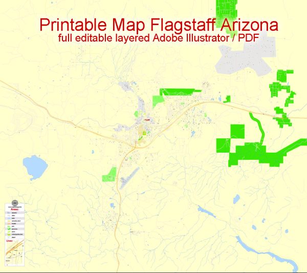
Flagstaff, Arizona, is a city with a rich history and a well-developed road system.
Vectormap.Net provide you with the most accurate and up-to-date vector maps in Adobe Illustrator, PDF and other formats, designed for editing and printing. Please read the vector map descriptions carefully.
Here’s a detailed overview of the history and road infrastructure in Flagstaff:
History:
- Early Settlement and Railroad Era (late 19th century):
- Flagstaff was settled in the 1870s and became a significant railroad town with the arrival of the Atlantic and Pacific Railroad in 1882.
- The town’s economy thrived due to the lumber industry and the railroad, attracting settlers and businesses.
- Route 66 and the 20th Century:
- In the 1920s, Flagstaff gained prominence as a stop along the iconic Route 66, a major highway connecting Chicago to Los Angeles.
- This brought increased traffic and business opportunities, contributing to the city’s growth.
- Post-War Expansion and Development:
- After World War II, Flagstaff experienced rapid expansion. The city became a hub for education with the establishment of Northern Arizona University (NAU) in 1899.
- The growth of NAU and the city’s strategic location continued to attract residents and businesses.
- Modern Era:
- Flagstaff has evolved into a diverse and dynamic city with a focus on education, tourism, and scientific research.
- The city’s history is celebrated through various museums, including the Arizona Historical Society Pioneer Museum.
Road System:
- Route 66:
- Flagstaff played a crucial role as a stop along the historic Route 66, bringing national attention to the city. Though no longer the main east-west route, portions of Route 66 remain accessible for nostalgic drives.
- Interstate Highways:
- Flagstaff is a transportation hub with the intersection of two major interstate highways: I-17 and I-40.
- I-17 connects Flagstaff to Phoenix to the south, while I-40 runs east-west and is a vital cross-country route.
- US Highways:
- Besides interstates, Flagstaff is served by several U.S. highways, including US-89 and US-180, enhancing connectivity within the region.
- Local Roads:
- Flagstaff has a well-planned local road system, including city streets and avenues that facilitate smooth traffic flow within the city.
- Public transportation options, including buses, contribute to sustainable commuting solutions.
- Bicycle and Pedestrian Infrastructure:
- The city has invested in developing bicycle lanes and pedestrian-friendly areas, promoting alternative modes of transportation and a healthier lifestyle.
- Ongoing Infrastructure Projects:
- Flagstaff continually invests in infrastructure projects to accommodate its growing population and enhance connectivity. These projects may include road expansions, maintenance, and improvements to support the city’s development.
In summary, Flagstaff’s history is intertwined with transportation, from its early railroad days to becoming a key stop on Route 66 and a hub for interstate highways. The city’s road system reflects its growth and commitment to maintaining a well-connected and accessible community.


 Author: Kirill Shrayber, Ph.D.