Dortmund, Germany, printable vector map, full editable, Adobe PDF, Printable City Plan Map of Dortmund, Germany, full vector, scalable, editable, text format street names, 11 mb ZIP
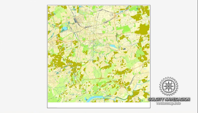
All streets, no buildings.
You can edit this file by Adobe Illustrator, Adobe Acrobat, Corel Draw.
The most accurate and detailed map of the city.
CDR, DWG, DXF and other formats – on demand, same price, please, contact
Dortmund, Germany.
This vector map of Dortmund is used as a basis for design, editing, and further printing.
This is the most detailed, exact map of Dortmund for high-quality printing and polygraphy. You can always clarify the map development date by contacting us.
For your convenience, all objects on Dortmund vector map are divided into layers. And the editing is very easy – colors, lines, etc.
You can easily add any objects needed (e.g. shops, salons, sale points, gas station or attraction) on any layer of Dortmund vector map.
Dortmund is, with a population of 601,402 (2017), the third largest city of Germany’s most populous federal state of North Rhine-Westphalia after Cologne and Düsseldorf, and Germany’s eighth largest city. It is the largest city (by area and population) of the Ruhr, Germany’s largest urban area with some 5.1 million (2011) inhabitants, as well as the largest city of Westphalia. On the Emscher and Ruhr rivers (tributaries of the Rhine), it lies in the Rhine-Ruhr Metropolitan Region and is considered the administrative, commercial and cultural centre of the eastern Ruhr.
One of the advantages of Dortmund vector maps of our production is the relevance of cartographic data, we constantly update all our products.
This vector map of Dortmund is used by:
designers, layout designers, printers, advertisers and architects. Our product – vector maps – is designed for further editing and printing in large formats – from @Wall format (a few meters) to A-0 and A-1, A-2, A-3.
Dortmund map in vector format is used for design, urban planning, presentations and media visualizations.
Advertising and presentation map of Dortmund (usually the final designer marks the routes, and puts the client’s objects (shops, saloons, gas stations etc.)
The undoubted advantage is that people will NEVER throw out this advertising product – the map. In fact, as an advertising medium, a map is the most “long-playing” of the well-known polygraphic advertising media, with the longest lifespan, and the maximum number of interactions with the customer.
For travelers, maps are sold at the airports and gas stations around the world. Often the source is our vector maps.
Take a look, who purchases our vector maps of Dortmund in “Our Clients and Friends” page – these are large and small companies, from super-brands like Volvo and Starbucks, to small design studios and printing houses.
It’s very easy to work with vector maps of Dortmund, even for a not very experienced designer who can turn on and off the map layers, add new objects, change the colors of fill and lines according to customer requirements.
The undoubted advantage of Dortmund vector maps in printing is an excellent and detailed visualization, when customer can expand a large paper map and instantly define his location, find a landmark, an object or address on map, unlike using the popular electronic formats of Google and Yandex maps for example.
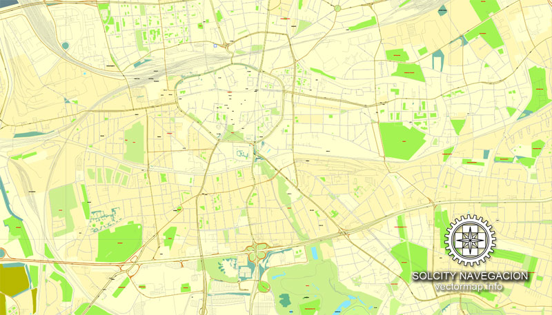
Printable vector maps of Dortmund are much more convenient and efficient than any electronic maps on your smartphone, because ALL DETAILS are displayed in the entire space of Dortmund map.
Useful tips on working with vector maps of cities and countries in Adobe Illustrator.
«V» – launches the Selection tool (cursor, black arrow), which makes active any vector line.
«А» – launches the Direct Selection tool (white cursor), allows you to select curve elements and drag them to the desired place.
«R» – activates the Rotate tool, which helps you rotating selected objects around the center point by 360 degrees.
«E» – gives you the opportunity to use the Eraser tool and erase unnecessary parts.
«X» – switches between Fill and Stroke in the Tools section. Try to get used to this hot key and
you will quickly understand that you can’t live and work without it.
Guides are not limited to vertical and horizontal in Adobe Illustrator. You can also create a diagonal guide for example. Moreover, you can turn any contours into guides. Select the outline and go to View > Guides > Make Guides (Create Guides), or simply press Cmd/Ctrl + 5. You can also turn the guides back into an editable object. Go to menu, View > Guides > Unlock Guides (Release Guides), select the guide you want to edit and select View > Guides > Release Guides (Reset Guides), or just press Cmd/Ctrl + Option / Alt + 5).
You will probably want to change the color scheme used on our Dortmund vector map.
To quickly and effectively play with colors.
Of course, you can do it manually, all objects in our Dortmund vector map are divided according to types and layers, and you can easily change the color gamma of vector objects in groups and layers.
But there is more effective way of working with the whole VECTOR MAP of Dortmund and all layers:
The overview dialog «Edit colors»/«Repaint Graphic Object» (this dialog box name can change depending on the context):
If you have selected a part or a layer of Dortmund vector map and open the dialog box by clicking the icon in the Control panel, on the Samples palette or the Color Catalog, or if you choose Edit > Edit Colors> Repaint Graphic Object, then the «Repaint Graphic Object» dialog box appears, and you get access to «Assign» and «Edit» tabs.
If a picture or a map fragment is not selected, and you open the dialog box by clicking the icon in the Control panel, on the Samples palette or in the Color Catalog, the «Edit Colors» dialog box appears and you can only access the «Edit» tab.
Regardless of the name at the top of the dialog box, the right-hand side always displays the color group of the current document, as well as two default color groups: Print Color and Grayscale. These color groups can be selected and used any time.
Founded around 882, Dortmund became an Imperial Free City. Throughout the 13th to 14th centuries, it was the “chief city” of the Rhine, Westphalia, the Netherlands Circle of the Hanseatic League. After the Thirty Years’ War the city was destroyed and decreased in significance until the onset of industrialization. The city then became one of Germany’s most important coal, steel and beer centres. Dortmund consequently was one of the most heavily bombed cities in Germany during World War II. The devastating bombing raids of 12 March 1945 destroyed 98% of buildings in the inner city center. These bombing raids, with more than 1,110 aircraft, hold the record to a single target in World War II.
Create and edit color groups of Dortmund vector map, and also assign colors using the «Edit Colors»/ а «Repaint Graphic Object» dialog box.
A. Creating and editing of a color group on the «Edit» tab
B. Assigning colors on the «Assign» tab
C. Select a group of colors from the «Color groups» list
The option «Repaint a graphic object» in the lower part of the dialog box allows you to preview the colors on a selected layer of Vector map, or a group of elements, and specify whether its colors will be redefined when the dialog box is closed.
The main areas of the dialog box are:
«Edit»
The «Edit» tab is designed to create a new or edit the existing color groups.
The harmony rules Menu and the Color Wheel are used to conduct experiments with color harmonies. The color wheel shows how colors are related in color harmony, and the color bars allow you to view and manipulate an individual color values. In addition, you can adjust the brightness, add and remove colors, save color groups and view colors on the selected Vector Map of Dortmund or a separated layers.
«Assign»
The «Assign» tab is used to view and control on how the original colors are replaced with colors from the color group like your corporate colors in the Vector Map of Dortmund.
The assign color ability is provided only if the entire map, layer or fragment is selected in the document. You can specify which of new colors replace the current colors, whether the spot colors should be preserved and how colors are replaced (for example, you can replace colors completely or changing the color tone while maintaining the brightness). The «Assign» tab allows you to redefine colors in the Vector Map of Dortmund, or in separate layers and fragments using the current color group or reducing the number of colors in the current Vector Map.
Color groups
Is a list of all saved color groups for current document (the same groups appear in the «Samples» palette). You can edit and delete the existing color groups, as well as creating a new ones using the list of “Color Groups” in the dialog box. All changes appear in the «Samples» palette.
The highlighted color group shows, which color group is currently edited.
Any color group can be selected and edited, or used to redefine the colors in the selected vector map of Dortmund, its fragments or elements.
Saving a color group adds this group to the specified list.
Opening the «Edit Colors»/«Repaint Graphic Object» dialog box.
Open the «Edit Colors»/«Repaint Graphic Object» dialog box using one of the following methods:
«Edit»> «Edit Colors»> «Repaint Graphic object» or «Repaint With Style».
Use these commands if you need to edit the colors in the selected vector map of Dortmund.
«Repaint Graphic object» button on the «Control» panel.
Use this button if you need to adjust colors of Dortmund vector map using the а «Repaint graphic object» dialog box.
The specified button is available if the selected vector map or its fragment contains two or more colors.
The region has adapted since the collapse of its century-long steel and coal industries and shifted to high-technology biomedical technology, micro systems technology and also services. In 2009, Dortmund was classified as a Node city in the Innovation Cities Index published by 2thinknow and is the most sustainable and digital city in Germany.
Note. This color editing method is convenient for global color adjustment in a vector map, if global colors were not used when creating a Map of Dortmund.
The «Edit colors» button or «Edit or apply colors» on the «Color Catalog» palette
Click this button if you need to edit colors on the «Color Catalog» palette or edit and then apply them to the selected Vector Map of Dortmund or its fragment.
The «Edit color group» button or «Edit or apply color group» on the «Samples» palette.
Click this button if you need to edit the colors in the specific color group or edit and apply them to the selected Vector Map of Dortmund or a group of its elements, for example, the whole layer “Streets and lines”. You can also double-click the color group in the Samples panel to open the dialog box.
If the map file is too large and your computer freezes or even can’t open it quickly:
1. Try to reduce the color resolution of the video card (display) to 256 colors while working with a large map.
2. Using Windows Task Manager, select all the application you don’t need, while working with map, just turn them off.
3. Launch Adobe Illustrator. (DO NOT OPEN the vector map file)
4. Start the Windows Task Manager using administrator rights > Find the “Illustrator” process > set the «real time» priority,
5. Open the file. When you see the LEGACY FONT popup window – click “OK” (do not update). You can restore the TEXT later.
6. Can also be useful: When file is opened – Edit > Settings > Basic Settings > disable smoothing. /// It looks scary, but works quickly)))
We recommend saving the file in Adobe Illustrator 10 version. It’s much more stable when working with VERY BIG size files.
Dortmund is home to many cultural and educational institutions, including the Technical University of Dortmund and Dortmund University of Applied Sciences and Arts, International School of Management and other educational, cultural and administrative facilities with over 49,000 students, many museums, such as Museum Ostwall, Museum of Art and Cultural History, German Football Museum, as well as theatres and music venues like the Konzerthaus or the Opera House of Dortmund. The city is known as Westphalia’s “green metropolis”. Nearly half the municipal territory consists of waterways, woodland, agriculture and green spaces with spacious parks such as Westfalenpark and Rombergpark. This stands in a stark contrast with nearly a hundred years of extensive coal mining and steel milling in the past.
Dortmund is home to Ballspielverein Borussia 09 e.V. Dortmund, commonly known as Borussia Dortmund, a successful club in German football.
Dortmund is an independent city located in the east of the Ruhr area, one of the largest urban areas in Europe (see also: megalopolis), comprising eleven independent cities and four districts with some 5.3 million inhabitants. The city limits of Dortmund itself are 87 km (54 mi) long and border twelve cities, two independent and ten kreisangehörig (i.e., belonging to a district), with a total population of approximately 2.4 million. The following cities border Dortmund (clockwise starting from north-east): Bochum, Castrop-Rauxel, Waltrop, Lünen, Kamen, Unna, Holzwickede, Schwerte, Hagen, Herdecke and Witten. Historically speaking, Dortmund is a part of Westphalia which is situated in the Bundesland North Rhine-Westphalia. Moreover, Dortmund is part of Westphalian Lowland and adjoins with the Ardey Hills in the south of the city to the Sauerland.
The Ruhr forms the reservoir on the Hengsteysee next to the borough of Syburg in the south of Dortmund between the cities of Hagen and Herdecke, North Rhine-Westphalia, Germany. The Klusenberg, a hill that is part of the Ardey range, is located just north of the Hengsteysee and the highest point of Dortmund 254.3 m. There is also a pumped-storage plant on this reservoir, named Koepchenwerk. The lowest point can be found in the northern borough of Brechten at 48.9 m.
The Emscher is a small river and has its wellspring in Holzwickede, east of the city of Dortmund, and flows west through Dortmund. Towns along the Emscher take in Dortmund, Castrop-Rauxel, Herne, Recklinghausen, Gelsenkirchen, Essen, Bottrop, Oberhausen and Dinslaken, where it flows into the Rhine.
Small guide: How to work with the vector map?
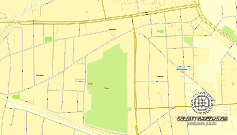
You can: Mass select objects by type and color – for example, the objects type “building” (they are usually dark gray) – and remove them from the map, if you do not need them in your print or design project. You can also easily change the thickness of lines (streets), just bulk selection the road by the line color.
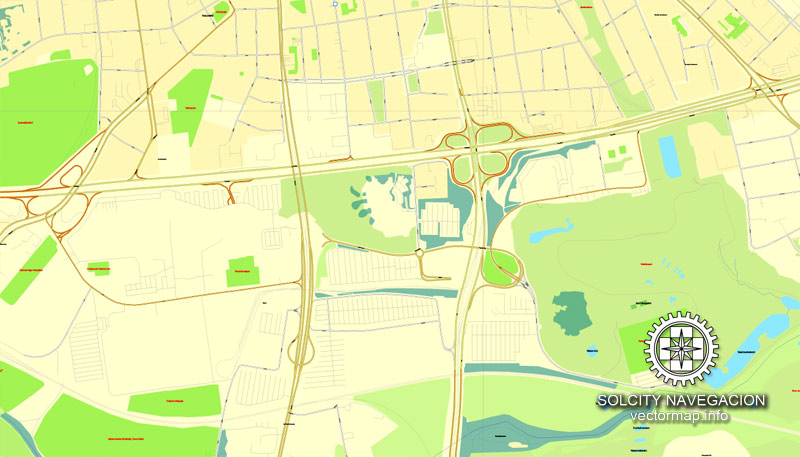
The streets are separated by type, for example, type “residential road” are usually white with a gray stroke. Highway usually orange with a brown or dark gray stroke.
All objects are divided by types: different types of roads and streets, polygons of buildings, landfills, urban areas, parks and more other.
It is easy to change the font of inscriptions, all or each individually. Also, just can be make and any other manipulation of objects on the vector map in Adobe illustrator format.
Important: All the proportions on the map are true, that is, the relative sizes of the objects are true, because Map is based on an accurate GPS projection, and It transated into the (usual for all) the Mercator projection.
You can easily change the color, stroke and fill of any object on the map, zoom without loss of quality Image Verification.
Select object

Bulk selection the same objects on the vector map

See the bulk selected objects on the vector map

Bulk delete buildungs from the vector map

Select residencial road (small street) on the vector map

Bulk selection the same lines (streets, roads) on the full map

Create fat lines of the streets on the vector maps (bulk action) 1

Create fat lines of the streets on the vector maps (bulk action) 2

Create fat lines of the streets on the vector maps (bulk action) 3

You can easily change the color, stroke and fill of any object on the map, zoom without loss of quality Image Verification.

 Author: Kirill Shrayber, Ph.D. FRGS


