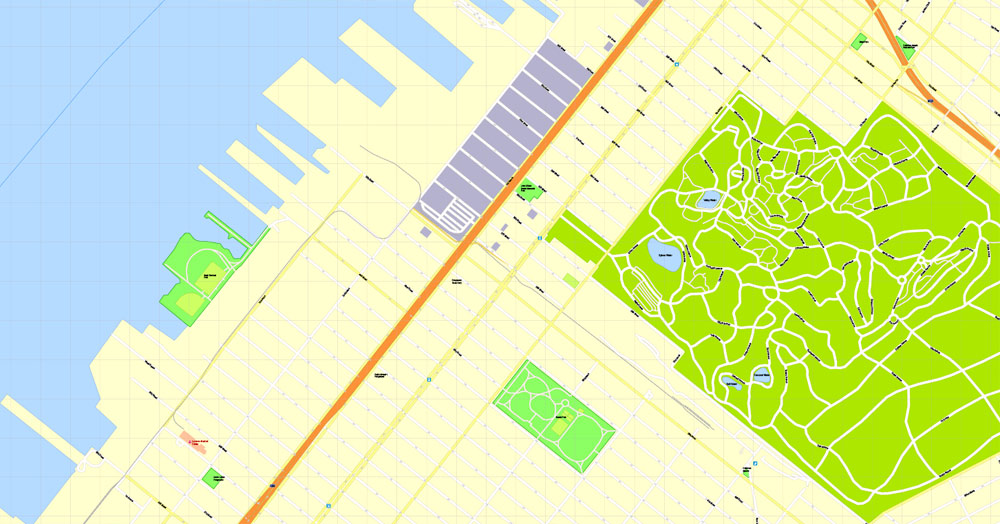
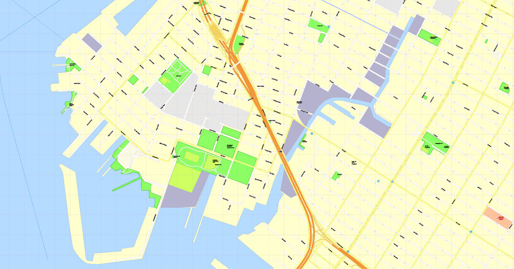
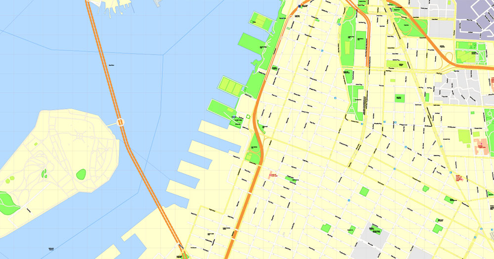
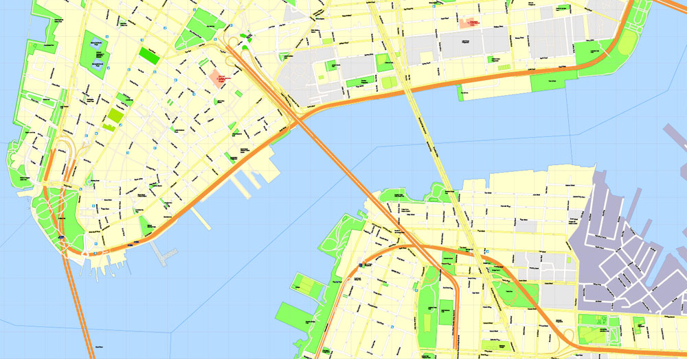
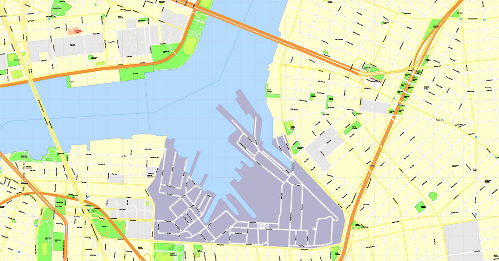
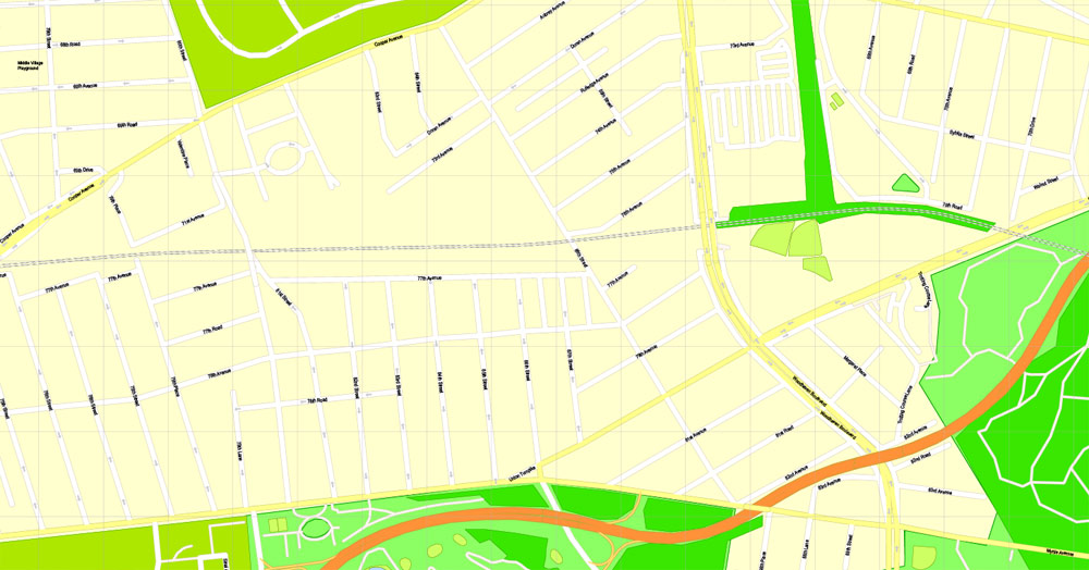
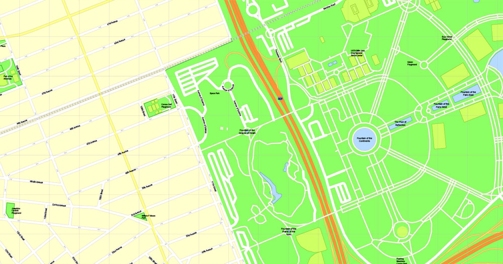
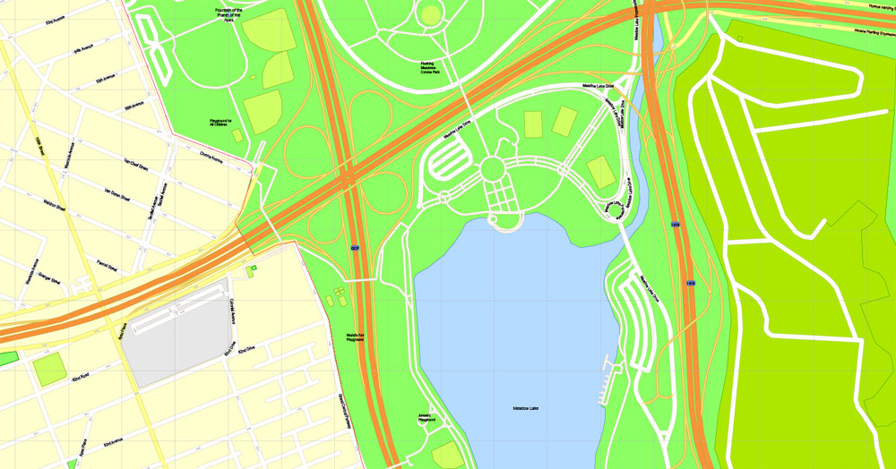
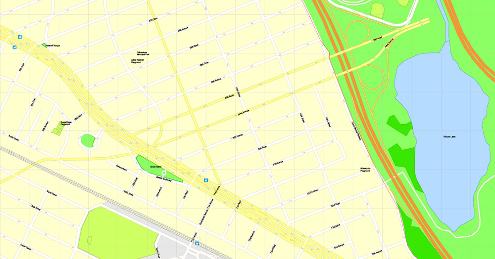
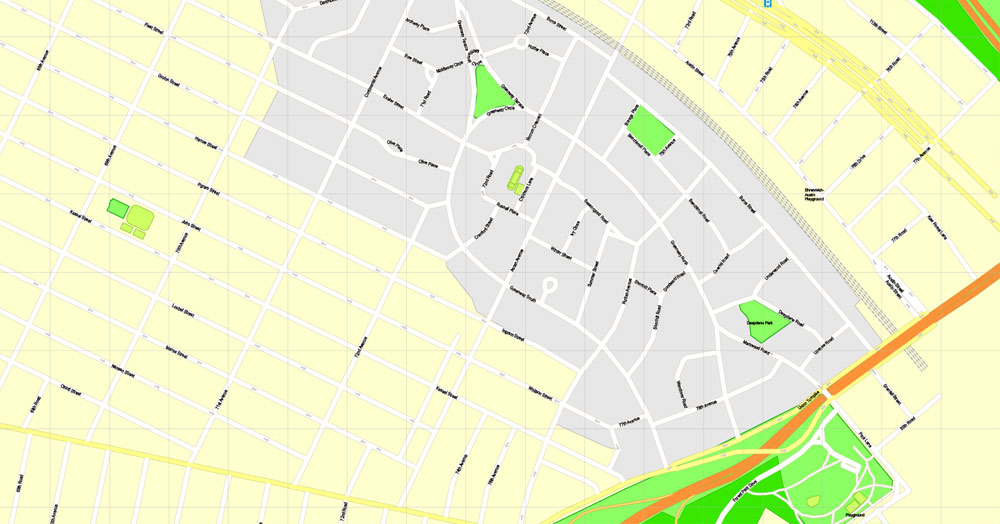
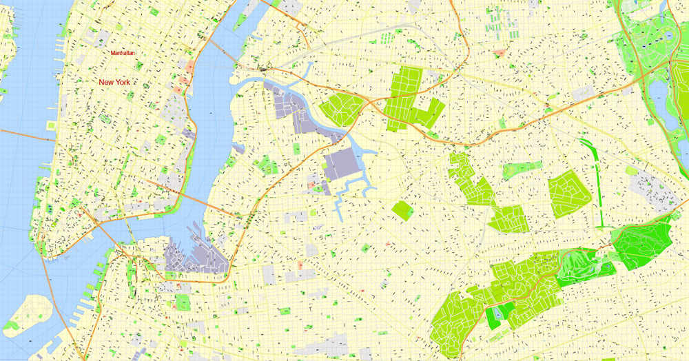
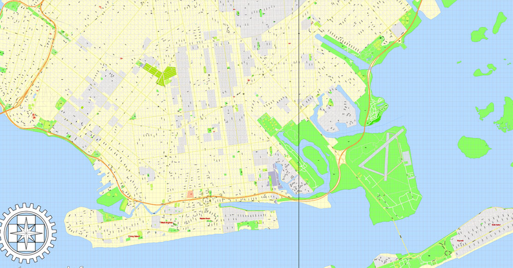
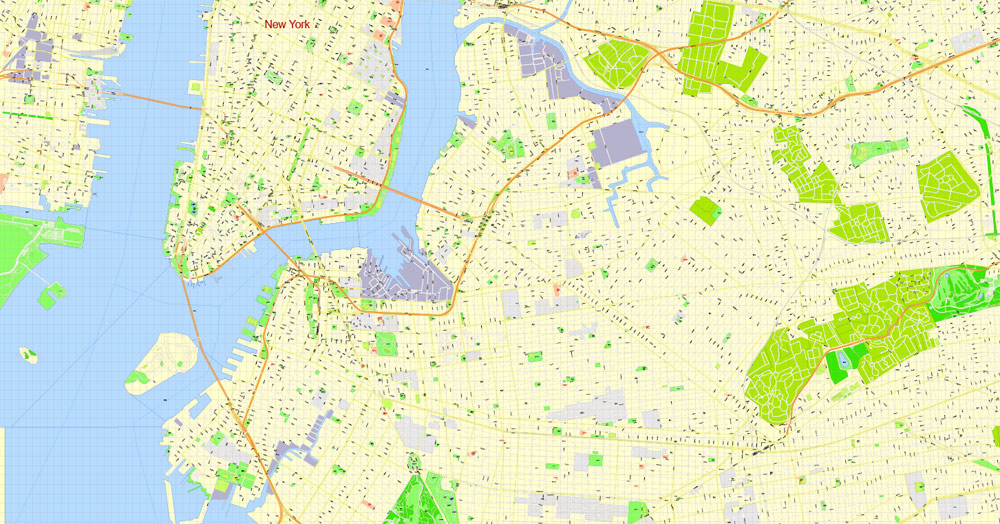
PDF Map Brooklyn, New York, exact vector street G-View Level 17 (100 meters scale) map, V.08.12. fully editable, Adobe PDF, full vector, scalable, editable text format of street names, 14 Mb ZIP.
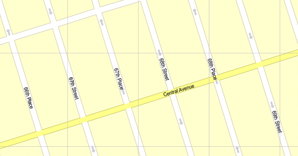
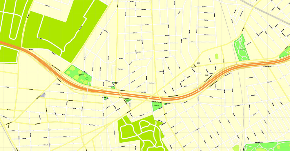
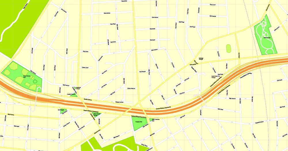
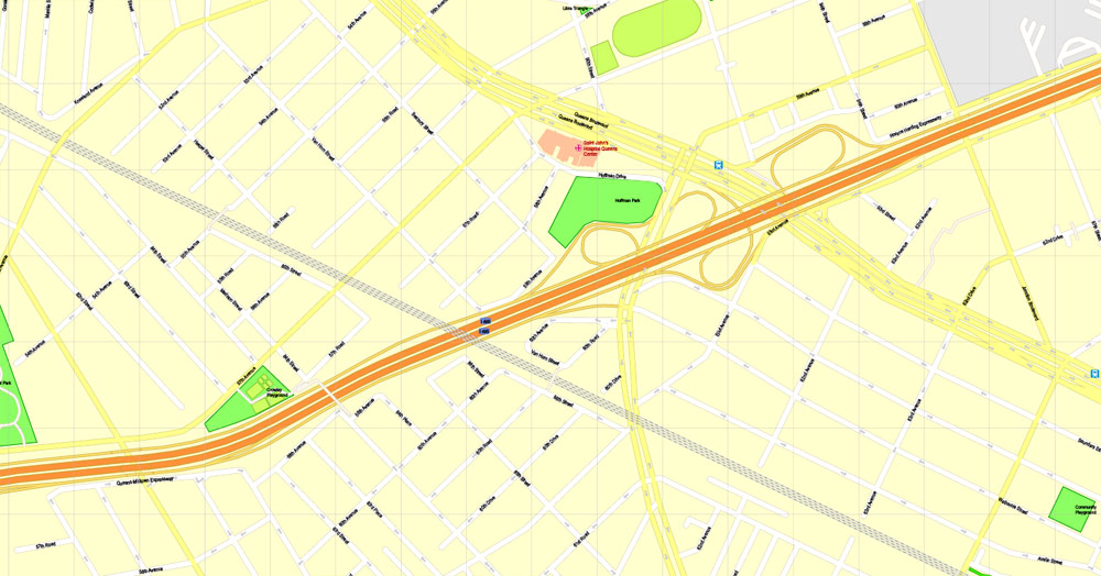
All streets named, main objects, no buildings. Map for publishing, design, printing, publications, arts, projects, presentations, for architects, designers and builders, business, logistics. The most exact and detailed map of the city.
Separated layers: streets and roads, color fills, road labels, names 1,2,3, street arrows, objects, scales.
You can edit this file by Adobe Illustrator, Adobe Acrobat, Corel Draw.
DWG, DXF, CDR, ESRI Shapes, and other formats – by request, same price, please contact.
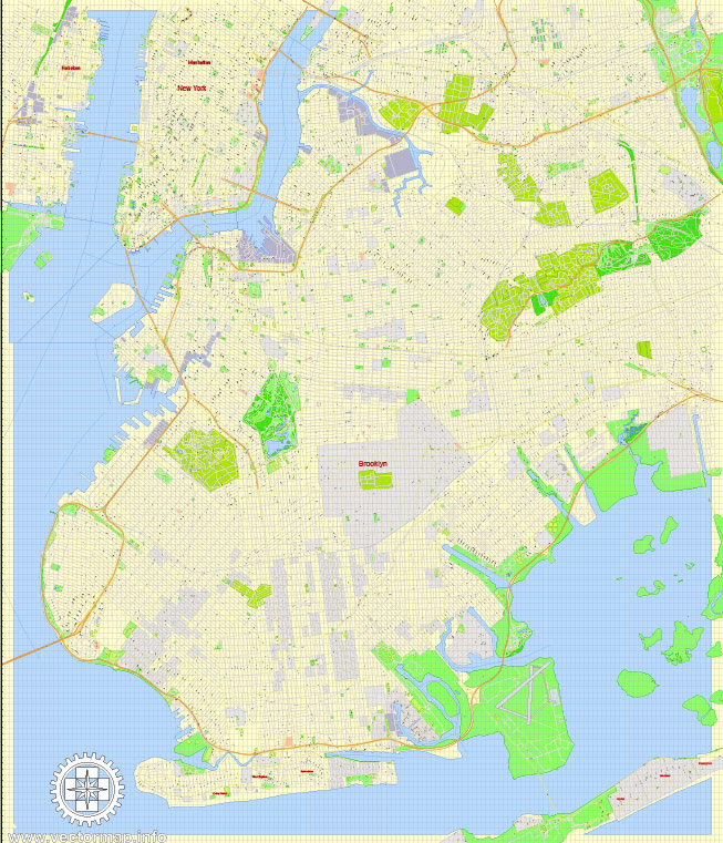
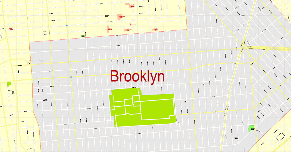
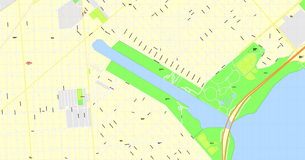
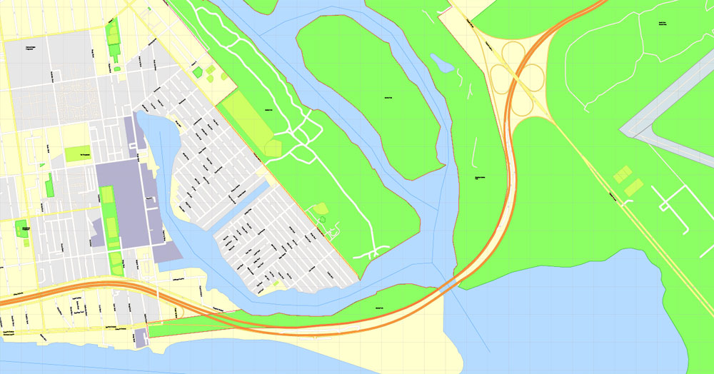
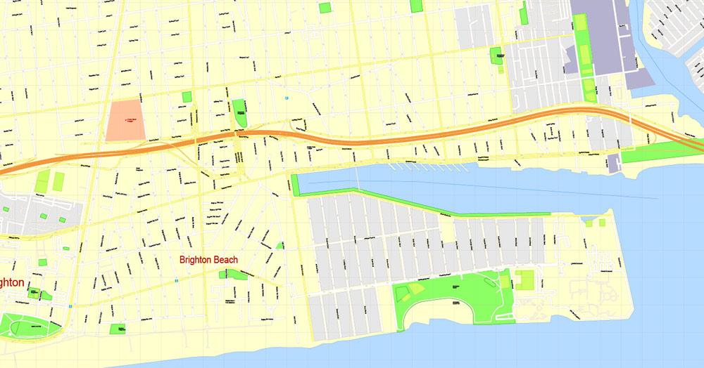
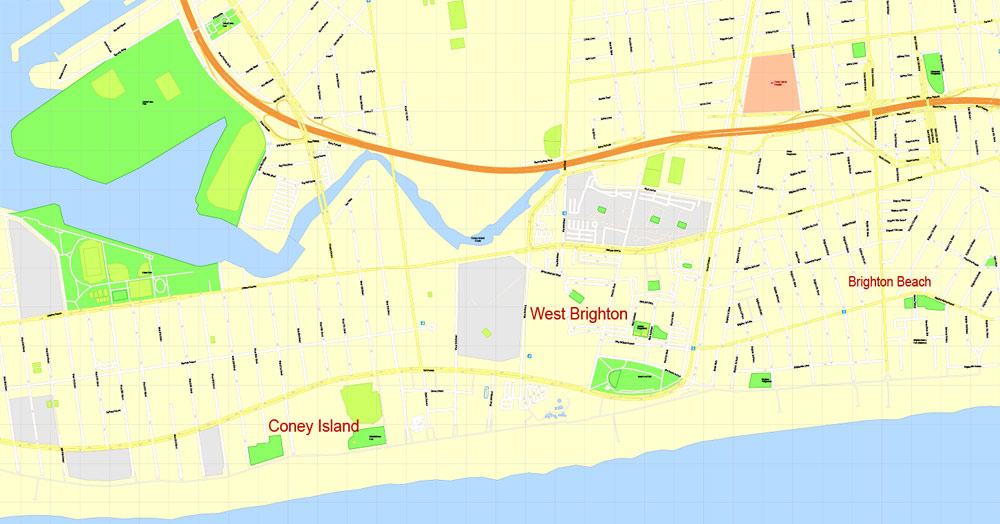
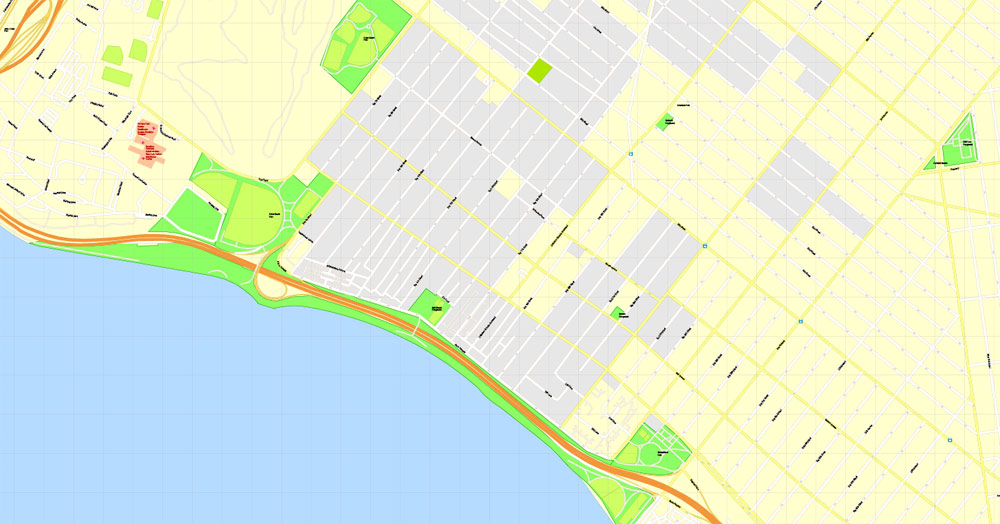
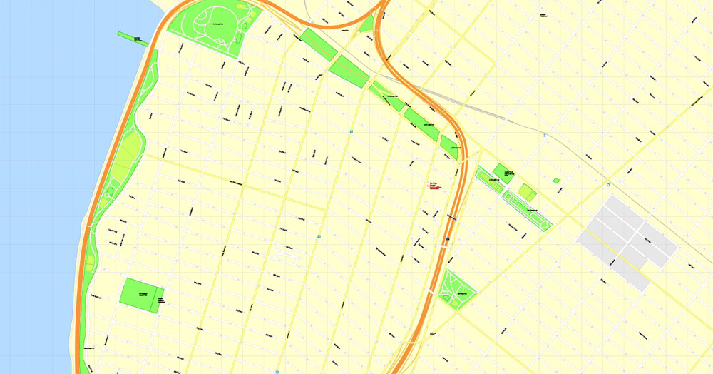
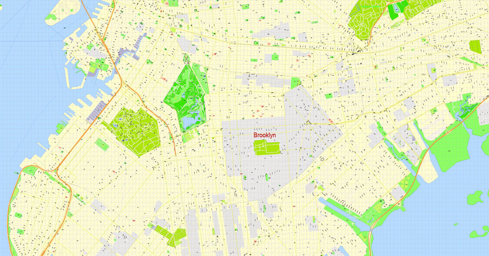
Brooklyn, New York, USA.
This vector map of Brooklyn is used as a basis for design, editing, and further printing.
This is the most detailed, exact map of Brooklyn for high-quality printing and polygraphy. You can always clarify the map development date by contacting us.
For your convenience, all objects on Brooklyn vector map are divided into layers. And the editing is very easy – colors, lines, etc.
You can easily add any objects needed (e.g. shops, salons, sale points, gas station or attraction) on any layer of Brooklyn vector map.
Brooklyn is the most populous borough of New York City, with a census-estimated 2,648,771 residents in 2017. Named after the Dutch village of Breukelen, it borders the borough of Queens, at the western end of Long Island. Brooklyn also has several bridge connections to the boroughs of Manhattan (across the East River) and Staten Island (across the Verrazzano Narrows Bridge). Since 1896, the borough has been coterminous with Kings County, the most populous county in the U.S. state of New York and the second-most densely populated county in the United States, after the county of New York (which is coextensive with the borough of Manhattan).
One of the advantages of Brooklyn vector maps of our production is the relevance of cartographic data, we constantly update all our products.
This vector map of Brooklyn is used by:
designers, layout designers, printers, advertisers and architects. Our product – vector maps – is designed for further editing and printing in large formats – from @Wall format (a few meters) to A-0 and A-1, A-2, A-3.
Brooklyn map in vector format is used for design, urban planning, presentations and media visualizations.
Advertising and presentation map of Brooklyn (usually the final designer marks the routes, and puts the client’s objects (shops, saloons, gas stations etc.)
The undoubted advantage is that people will NEVER throw out this advertising product – the map. In fact, as an advertising medium, a map is the most “long-playing” of the well-known polygraphic advertising media, with the longest lifespan, and the maximum number of interactions with the customer.
For travelers, maps are sold at the airports and gas stations around the world. Often the source is our vector maps.
Take a look, who purchases our vector maps of Brooklyn in “Our Clients and Friends” page – these are large and small companies, from super-brands like Volvo and Starbucks, to small design studios and printing houses.
With a land area of 71 square miles (180 km2) and water area of 26 square miles (67 km2), Kings County is New York’s fourth-smallest county by land area and third-smallest by total area, though it is the second-largest among the city’s five boroughs. Today, if New York City dissolved, Brooklyn would rank as the third-most populous city in the U.S. after Los Angeles and Chicago.
It’s very easy to work with vector maps of Brooklyn, even for a not very experienced designer who can turn on and off the map layers, add new objects, change the colors of fill and lines according to customer requirements.
The undoubted advantage of Brooklyn vector maps in printing is an excellent and detailed visualization, when customer can expand a large paper map and instantly define his location, find a landmark, an object or address on map, unlike using the popular electronic formats of Google and Yandex maps for example.
Printable vector maps of Brooklyn are much more convenient and efficient than any electronic maps on your smartphone, because ALL DETAILS are displayed in the entire space of Brooklyn map.
Useful tips on working with vector maps of cities and countries in Adobe Illustrator.
«V» – launches the Selection tool (cursor, black arrow), which makes active any vector line.
«А» – launches the Direct Selection tool (white cursor), allows you to select curve elements and drag them to the desired place.
«R» – activates the Rotate tool, which helps you rotating selected objects around the center point by 360 degrees.
«E» – gives you the opportunity to use the Eraser tool and erase unnecessary parts.
«X» – switches between Fill and Stroke in the Tools section. Try to get used to this hot key and
you will quickly understand that you can’t live and work without it.
Guides are not limited to vertical and horizontal in Adobe Illustrator. You can also create a diagonal guide for example. Moreover, you can turn any contours into guides. Select the outline and go to View > Guides > Make Guides (Create Guides), or simply press Cmd/Ctrl + 5. You can also turn the guides back into an editable object. Go to menu, View > Guides > Unlock Guides (Release Guides), select the guide you want to edit and select View > Guides > Release Guides (Reset Guides), or just press Cmd/Ctrl + Option / Alt + 5).
You will probably want to change the color scheme used on our Brooklyn vector map.
To quickly and effectively play with colors.
Of course, you can do it manually, all objects in our Brooklyn vector map are divided according to types and layers, and you can easily change the color gamma of vector objects in groups and layers.
But there is more effective way of working with the whole VECTOR MAP of Brooklyn and all layers:
The overview dialog «Edit colors»/«Repaint Graphic Object» (this dialog box name can change depending on the context):
If you have selected a part or a layer of Brooklyn vector map and open the dialog box by clicking the icon in the Control panel, on the Samples palette or the Color Catalog, or if you choose Edit > Edit Colors> Repaint Graphic Object, then the «Repaint Graphic Object» dialog box appears, and you get access to «Assign» and «Edit» tabs.
If a picture or a map fragment is not selected, and you open the dialog box by clicking the icon in the Control panel, on the Samples palette or in the Color Catalog, the «Edit Colors» dialog box appears and you can only access the «Edit» tab.
Regardless of the name at the top of the dialog box, the right-hand side always displays the color group of the current document, as well as two default color groups: Print Color and Grayscale. These color groups can be selected and used any time.
Create and edit color groups of Brooklyn vector map, and also assign colors using the «Edit Colors»/ а «Repaint Graphic Object» dialog box.
A. Creating and editing of a color group on the «Edit» tab
B. Assigning colors on the «Assign» tab
C. Select a group of colors from the «Color groups» list
The option «Repaint a graphic object» in the lower part of the dialog box allows you to preview the colors on a selected layer of Vector map, or a group of elements, and specify whether its colors will be redefined when the dialog box is closed.
The main areas of the dialog box are:
«Edit»
The «Edit» tab is designed to create a new or edit the existing color groups.
The harmony rules Menu and the Color Wheel are used to conduct experiments with color harmonies. The color wheel shows how colors are related in color harmony, and the color bars allow you to view and manipulate an individual color values. In addition, you can adjust the brightness, add and remove colors, save color groups and view colors on the selected Vector Map of Brooklyn or a separated layers.
«Assign»
The «Assign» tab is used to view and control on how the original colors are replaced with colors from the color group like your corporate colors in the Vector Map of Brooklyn.

The assign color ability is provided only if the entire map, layer or fragment is selected in the document. You can specify which of new colors replace the current colors, whether the spot colors should be preserved and how colors are replaced (for example, you can replace colors completely or changing the color tone while maintaining the brightness). The «Assign» tab allows you to redefine colors in the Vector Map of Brooklyn, or in separate layers and fragments using the current color group or reducing the number of colors in the current Vector Map.
Color groups
Is a list of all saved color groups for current document (the same groups appear in the «Samples» palette). You can edit and delete the existing color groups, as well as creating a new ones using the list of “Color Groups” in the dialog box. All changes appear in the «Samples» palette.
The highlighted color group shows, which color group is currently edited.
Any color group can be selected and edited, or used to redefine the colors in the selected vector map of Brooklyn, its fragments or elements.
Saving a color group adds this group to the specified list.
Opening the «Edit Colors»/«Repaint Graphic Object» dialog box.
Open the «Edit Colors»/«Repaint Graphic Object» dialog box using one of the following methods:
«Edit»> «Edit Colors»> «Repaint Graphic object» or «Repaint With Style».
Use these commands if you need to edit the colors in the selected vector map of Brooklyn.
«Repaint Graphic object» button on the «Control» panel.
Use this button if you need to adjust colors of Brooklyn vector map using the а «Repaint graphic object» dialog box.
The specified button is available if the selected vector map or its fragment contains two or more colors.
Note. This color editing method is convenient for global color adjustment in a vector map, if global colors were not used when creating a Map of Brooklyn.
The «Edit colors» button or «Edit or apply colors» on the «Color Catalog» palette
Click this button if you need to edit colors on the «Color Catalog» palette or edit and then apply them to the selected Vector Map of Brooklyn or its fragment.
The «Edit color group» button or «Edit or apply color group» on the «Samples» palette.
Click this button if you need to edit the colors in the specific color group or edit and apply them to the selected Vector Map of Brooklyn or a group of its elements, for example, the whole layer “Streets and lines”. You can also double-click the color group in the Samples panel to open the dialog box.
If the map file is too large and your computer freezes or even can’t open it quickly:
1. Try to reduce the color resolution of the video card (display) to 256 colors while working with a large map.
2. Using Windows Task Manager, select all the application you don’t need, while working with map, just turn them off.
3. Launch Adobe Illustrator. (DO NOT OPEN the vector map file)
4. Start the Windows Task Manager using administrator rights > Find the “Illustrator” process > set the «real time» priority,
5. Open the file. When you see the LEGACY FONT popup window – click “OK” (do not update). You can restore the TEXT later.
6. Can also be useful: When file is opened – Edit > Settings > Basic Settings > disable smoothing. /// It looks scary, but works quickly)))
We recommend saving the file in Adobe Illustrator 10 version. It’s much more stable when working with VERY BIG size files.
Brooklyn was an independent incorporated city (and previously an authorized village and town within the provisions of the New York State Constitution) until January 1, 1898, when, after a long political campaign and public relations battle during the 1890s, according to the new Municipal Charter of “Greater New York”, Brooklyn was consolidated with the other cities, boroughs, and counties to form the modern City of New York, surrounding the Upper New York Bay with five constituent boroughs. The borough continues, however, to maintain a distinct culture. Many Brooklyn neighborhoods are ethnic enclaves. Brooklyn’s official motto, displayed on the Borough seal and flag, is Eendraght Maeckt Maght, which translates from early modern Dutch as “Unity makes strength”.
In the first decades of the 21st century, Brooklyn has experienced a renaissance as an avant garde destination for hipsters, with concomitant gentrification, dramatic house price increases, and a decrease in housing affordability. Since 2010, Brooklyn has evolved into a thriving hub of entrepreneurship and high technology startup firms, and of postmodern art and design.
Brooklyn totals 97 square miles (250 km2) in area, of which 71 square miles (180 km2) is land (73%), and 26 square miles (67 km2) is water (27%); the borough is the second-largest in land area among the boroughs of New York City. However, Kings County, coterminous with Brooklyn, is New York State’s fourth-smallest county by land area and third-smallest by total area. Brooklyn lies at the southwestern end of Long Island, and the borough’s western border constitutes the island’s western tip. Brooklyn’s water borders are extensive and varied, including Jamaica Bay; the Atlantic Ocean; The Narrows, separating Brooklyn from the borough of Staten Island in New York City and crossed by the Verrazzano-Narrows Bridge; Upper New York Bay, separating Brooklyn from Jersey City and Bayonne in the U.S. state of New Jersey; and the East River, separating Brooklyn from the borough of Manhattan in New York City and traversed by the Brooklyn-Battery Tunnel, the Brooklyn Bridge, the Manhattan Bridge, the Williamsburg Bridge, and numerous routes of the New York City Subway. To the east of Brooklyn lies the borough of Queens, which contains John F. Kennedy International Airport in that borough’s Jamaica neighborhood, approximately two miles from the border of the East New York neighborhood of Brooklyn.

Brooklyn
New York City borough
Brooklyn, one of New York City’s 5 boroughs, sits on the western end of Long Island. The iconic Brooklyn Bridge, built in 1883, connects it to Manhattan. Neighborhoods range from high-end DUMBO (between Manhattan and Brooklyn bridges); Williamsburg, a hotbed of indie music, art and nightlife; to beachfront Coney Island and its amusement parks. Leafy, row house–filled districts include Brooklyn Heights and Park Slope.
Land area: 180 km²
Population: 2.592 million (2013)
Area codes: Area codes 718, 347 and 929, Area code 917
Rivers: East River, Newtown Creek, Betts Creek
Free vector maps:

Free download Vector Map US Interstate roads, Adobe PDF, V.2 Free_Map_US_Interstates_Roads_2.pdf
Free download Vector Map US Interstate roads, Adobe Illustrator, V.2 Free_Map_US_Interstates_Roads_2.ai

Free Download Vector Map US County and State Adobe Illustrator
Free_Vector_Map_US_States_County_Map.ai
Free Download Vector Map US County and State Adobe PDF
Free_Vector_Map_US_States_County_Map.pdf

Free Vector Map US Census Data Top US Ancestries by County Adobe Illustrator
Free_Vector_Map_US_Census-Data-Top-US-Ancestries-by-County.ai
Free Vector Map US Census Data Top US Ancestries by County Adobe PDF
Free_Vector_Map_US_Census-Data-Top-US-Ancestries-by-County.pdf
Free US Maps from WIKIPEDIA
Small guide: How to work with the vector map?
You can: Mass select objects by type and color – for example, the objects type “building” (they are usually dark gray) – and remove them from the map, if you do not need them in your print or design project. You can also easily change the thickness of lines (streets), just bulk selection the road by the line color.
The streets are separated by type, for example, type “residential road” are usually white with a gray stroke. Highway usually orange with a brown or dark gray stroke.
It is easy to change the font of inscriptions, all or each individually. Also, just can be make and any other manipulation of objects on the vector map in Adobe illustrator format.
Important: All the proportions on the map are true, that is, the relative sizes of the objects are true, because Map is based on an accurate GPS projection, and It transated into the (usual for all) the Mercator projection.
You can easily change the color, stroke and fill of any object on the map, zoom without loss of quality Image Verification.
Select object

Bulk selection the same objects on the vector map

See the bulk selected objects on the vector map

Bulk delete buildungs from the vector map

Select residencial road (small street) on the vector map

Bulk selection the same lines (streets, roads) on the full map

Create fat lines of the streets on the vector maps (bulk action) 1

Create fat lines of the streets on the vector maps (bulk action) 2

Create fat lines of the streets on the vector maps (bulk action) 3

You can easily change the color, stroke and fill of any object on the map, zoom without loss of quality Image Verification.
If you were looking for more cliparts of Vector Maps of countries and cities? please have it.

 Author: Kirill Shrayber, Ph.D. FRGS


