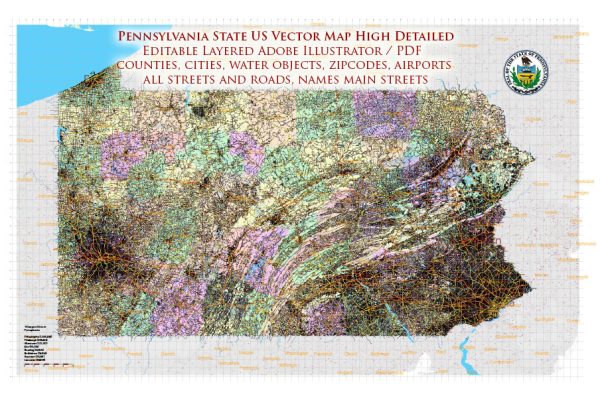
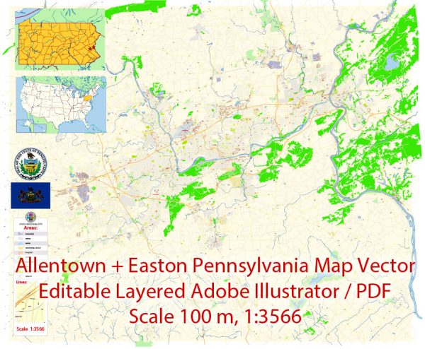
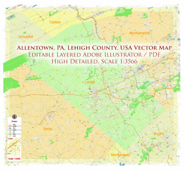
Extended Description of the Vector Map
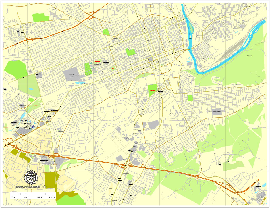
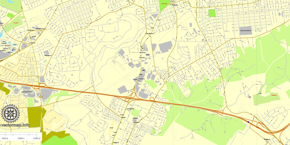
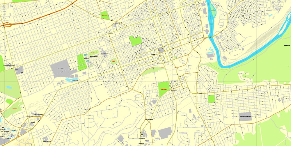
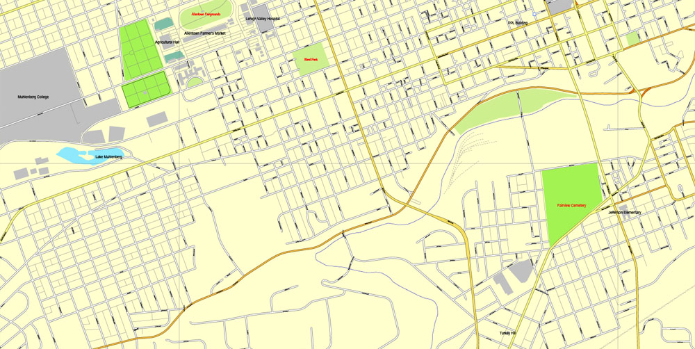
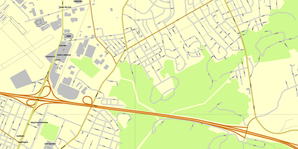
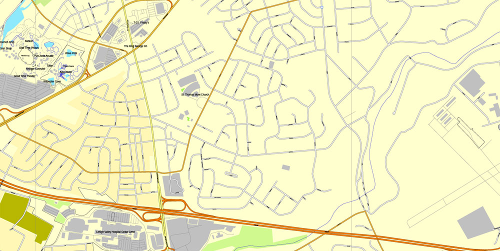
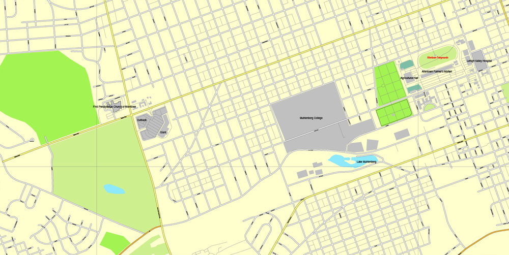
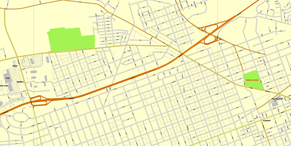
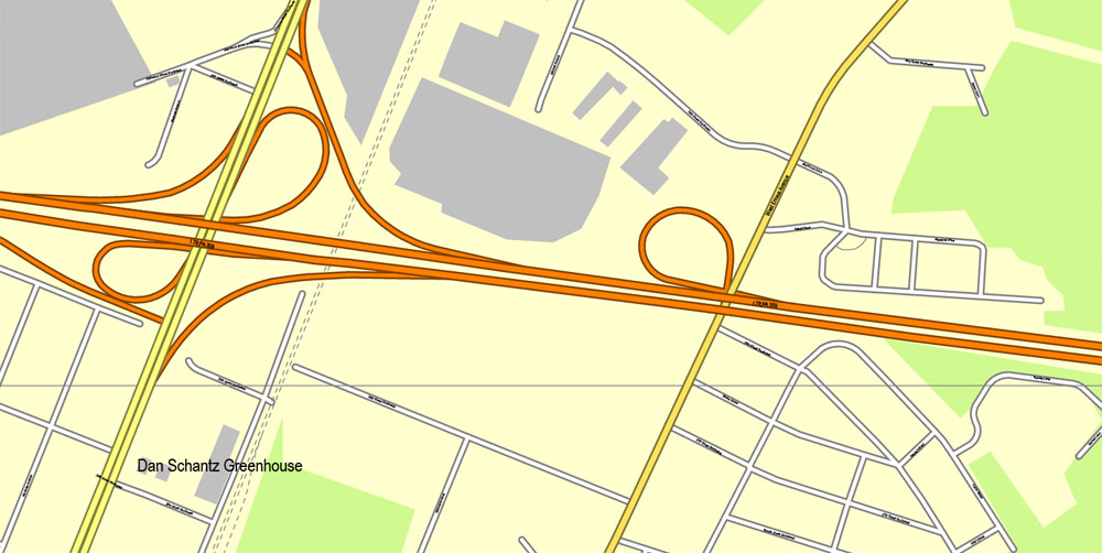
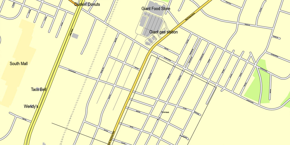
PDF Map Allentown, Pennsylvania, US, Printable exact vector street City Plan map V3.10, full editable, Adobe PDF, full vector, scalable, editable, text format street names, 2 mb ZIP
All streets, Principal buildings. Map for design, print, arts, projects, presentations.
You can edit this file by Adobe Illustrator, Adobe Acrobat, Corel Draw.
DWG, DXF, CDR and other formats – on request, same price, please, contact
Free vector maps:
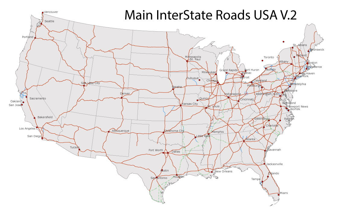
Free download Vector Map US Interstate roads, Adobe PDF, V.2 Free_Map_US_Interstates_Roads_2.pdf
Free download Vector Map US Interstate roads, Adobe Illustrator, V.2 Free_Map_US_Interstates_Roads_2.ai
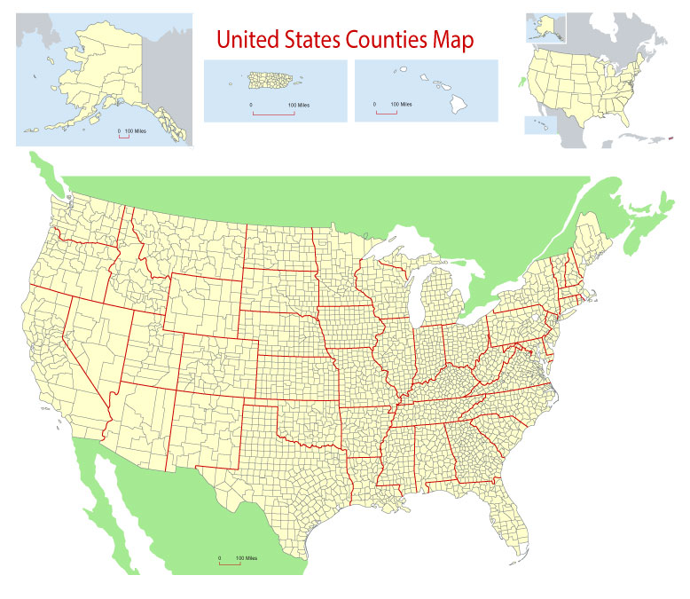
Free Download Vector Map US County and State Adobe Illustrator
Free_Vector_Map_US_States_County_Map.ai
Free Download Vector Map US County and State Adobe PDF
Free_Vector_Map_US_States_County_Map.pdf
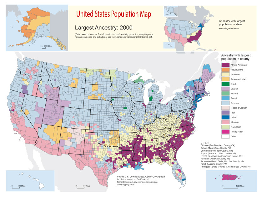
Free Vector Map US Census Data Top US Ancestries by County Adobe Illustrator
Free_Vector_Map_US_Census-Data-Top-US-Ancestries-by-County.ai
Free Vector Map US Census Data Top US Ancestries by County Adobe PDF
Free_Vector_Map_US_Census-Data-Top-US-Ancestries-by-County.pdf
Allentown (Pennsylvania Dutch: Allenschteddel) is a city located in Lehigh County, Pennsylvania, United States. It is Pennsylvania’s third most populous city and the 224th largest city in the United States. As of the 2010 census, the city had a total population of 118,032 and is currently the fastest growing city in all of Pennsylvania. It is the largest city in the metropolitan area known as the Lehigh Valley, which had a population of 821,623 residents as of 2010. It constitutes a portion of the New York City Metropolitan Area and is the county seat of Lehigh County. In 2012, the city celebrated the 250th anniversary of its founding in 1762.
Located on the Lehigh River, Allentown is the largest of three adjacent cities, in Northampton and Lehigh counties, that make up a region of eastern Pennsylvania known as the Lehigh Valley. Allentown is 50 miles (80 km) north-northwest of Philadelphia, the fifth most populous city in the United States, 90 miles (140 km) east-northeast of Harrisburg, the state capital, and 90 miles (140 km) west of New York City, the nation’s largest city.
Allentown was cited as a “national success story” in April 2016 by the Urban Land Institute for its downtown redevelopment and transformation, one of only six communities in the country to have been named as such.
Commonwealth Pennsylvania
County Lehigh
Settled 1751
Founded 1762
Area
• Home Rule Municipality 18.0 sq mi (46.5 km2)
• Land 17.8 sq mi (45.9 km2)
• Water 0.2 sq mi (0.6 km2)
• Urban 289.50 sq mi (749.79 km2)
• Metro 730.0 sq mi (1,174.82 km2)
Elevation 338 ft (103 m)
Highest elevation 440 ft (130 m)
Lowest elevation 255 ft (78 m)
Population
• Home Rule Municipality 119,104 (US: 224th)
• Density 6,631.0/sq mi (2,571.5/km2)
• Urban 664,651 (US: 61st)
• Urban density 1,991.0/sq mi (768.7/km2)
• Metro 827,048 (US: 68th)
• Metro density 1,117.8/sq mi (431.6/km2)
• Demonym Allentonian
Time zone EST (UTC-5)
• Summer (DST) EDT (UTC-4)
ZIP codes 18101, 18102, 18103, 18104, 18105, 18106, 18109, 18175, 18195
Area code(s) 610, 484
https://en.wikipedia.org/wiki/Allentown,_Pennsylvania
Author Rating
Aggregate Rating
no rating based on 0 votes
@vectormapper
Product Name Allentown PDF Map Pennsylvania US exact vector City Plan V3.10 full editable Adobe PDF Street Map
Price
USD 29
Product Availability
Available in Stock



 Author: Kirill Shrayber, Ph.D. FRGS