Extended Description of the Vector Map
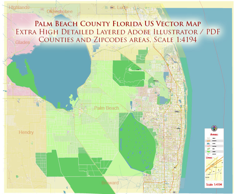
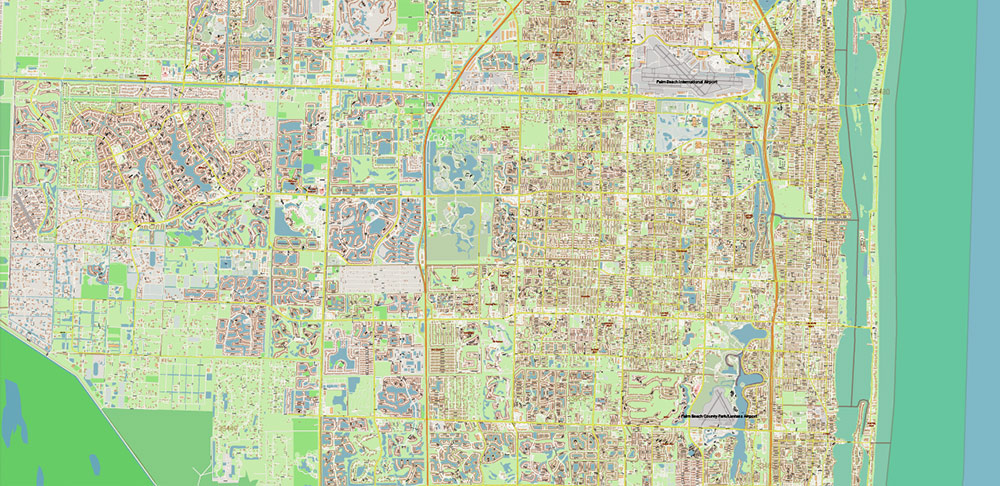
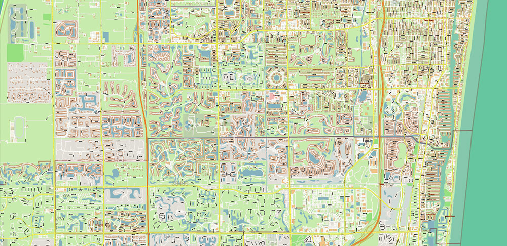
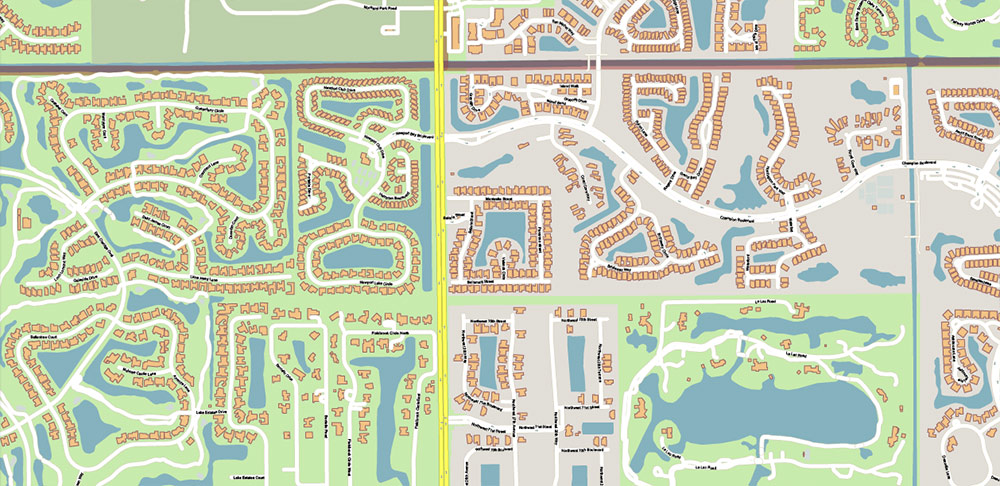
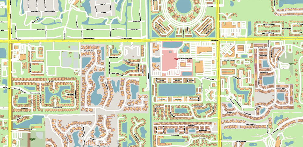
Printable Vector Map of Palm Beach County Florida US High Detailed City Plan scale 1:4194 fully editable Adobe Illustrator Street Map in layers, scalable, text/curves format all names, 54 MB ZIP
All street names, Main Objects, Buildings, Zipcodes areas and numbers, Counties areas. Map for design, printing, arts, projects, presentations, for architects, designers, and builders, business, logistics.
Also: We can add (additional layer for this map), any other objects for you. It’s free for our customers.
Also: We can add the RELIEF (Topo Isolines or shaded relief)
If you need any OTHER format – DWG, DXF, CDR, EPS, or something else – please, email us
This Palm Beach County Florida US Street Map is wall-size map,
fully editable, layered Adobe Illustrator file that is compatible with Adobe Illustrator 10 and above.
All features on the Palm Beach County Florida US Street Map are completely editable
in Illustrator 10 and higher, CorelDraw, allowing you to change the border and fill colors
of every object on the map, including street lines, text objects and fill colors.
All major map objects / features reside on their own labeled layers,
allowing you to easily show/hide, edit and delete each main map object.
For a complete listing of objects/layers, refer to the list below.
Additional Info
DPI for print: 150; 300; 600; 1200
This map is also delivered as a fully-editable Adobe PDF (or any other format) map file.
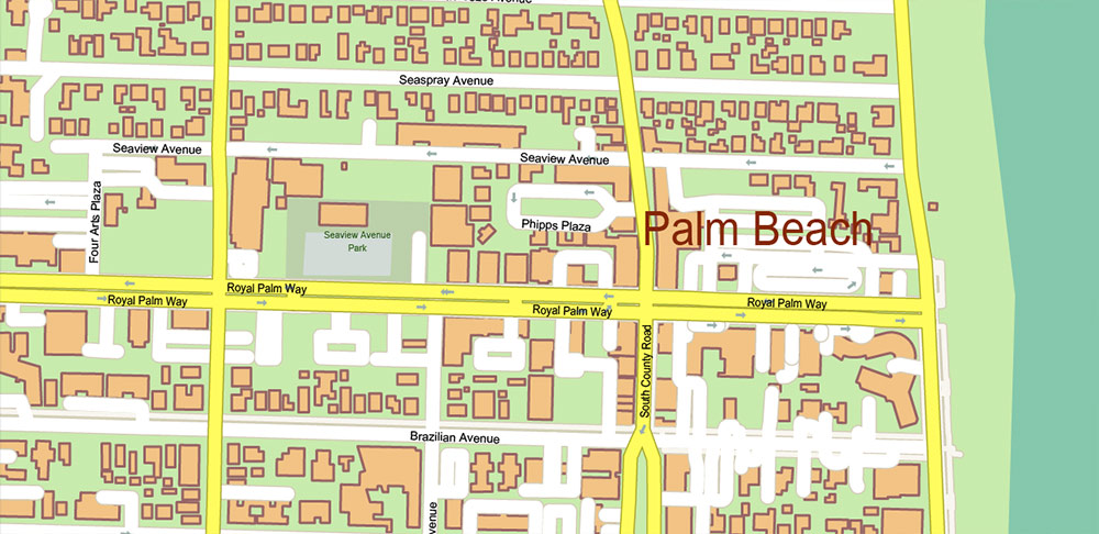
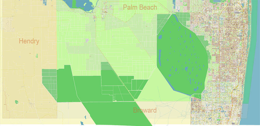
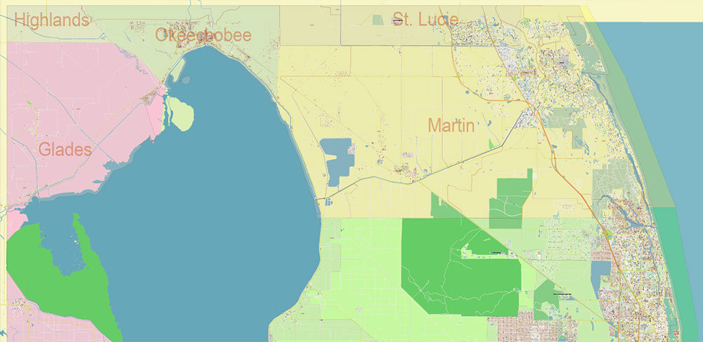
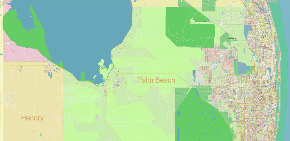
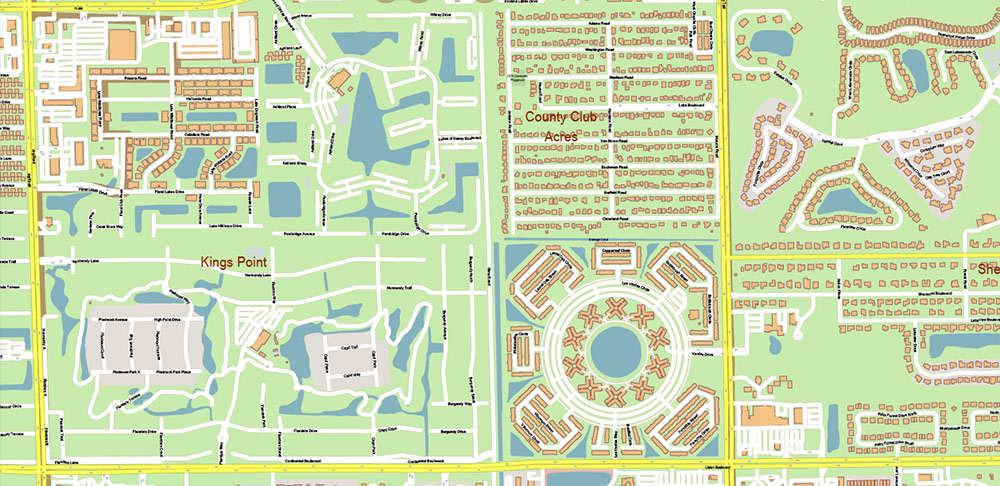
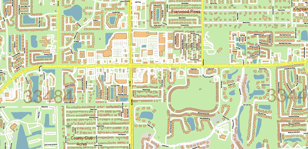
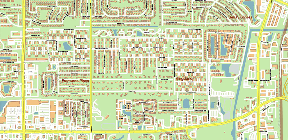
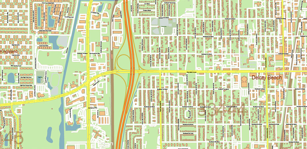
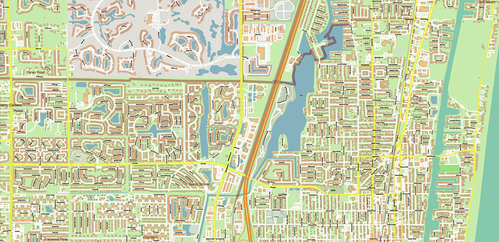
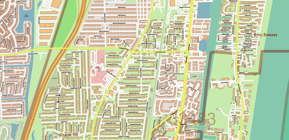
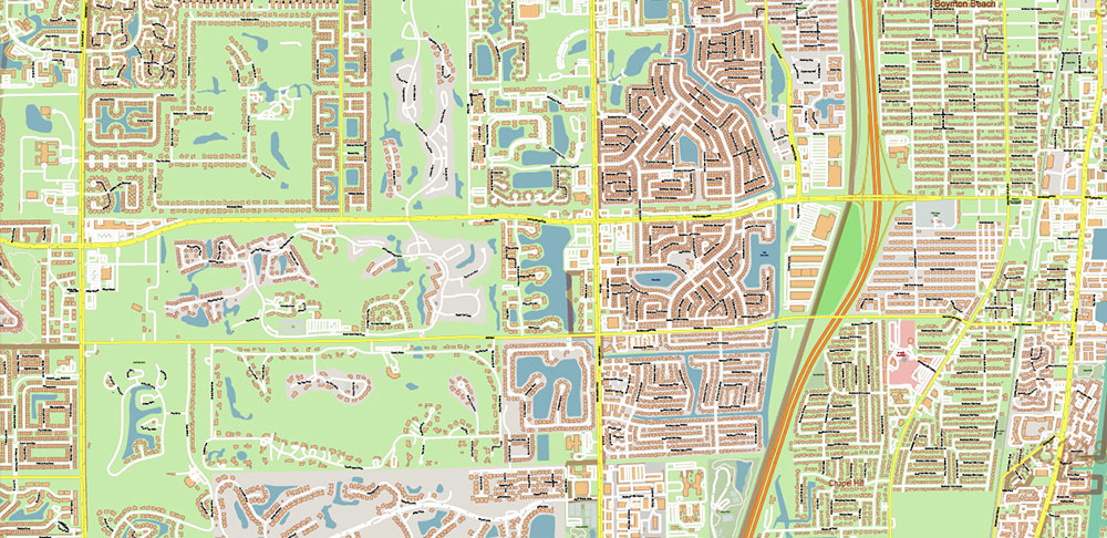
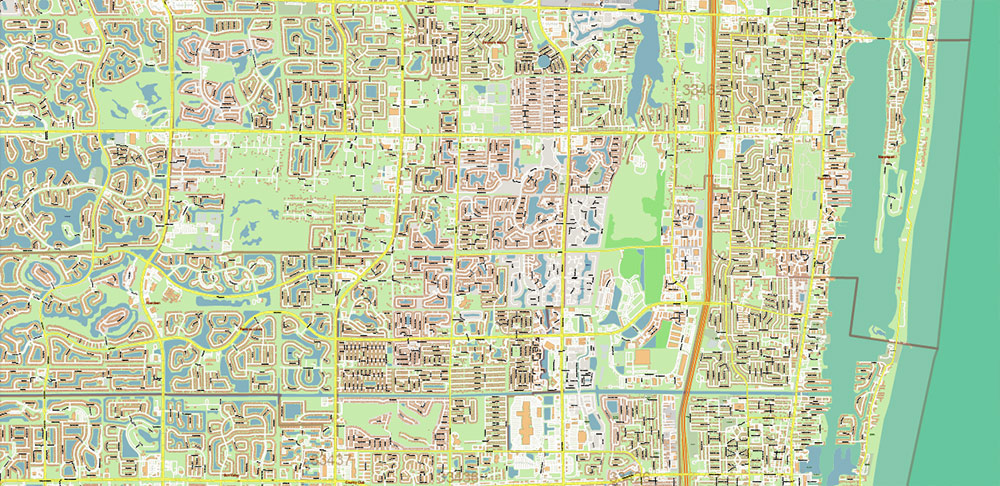
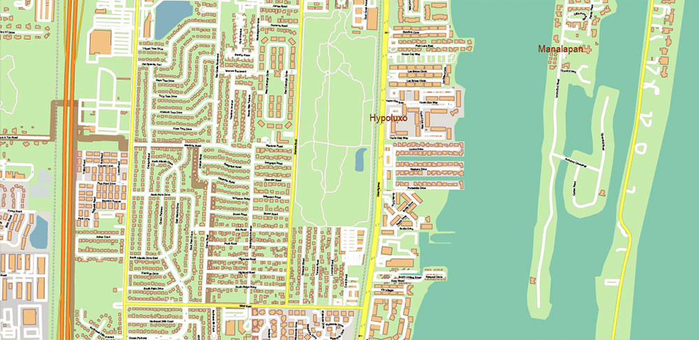
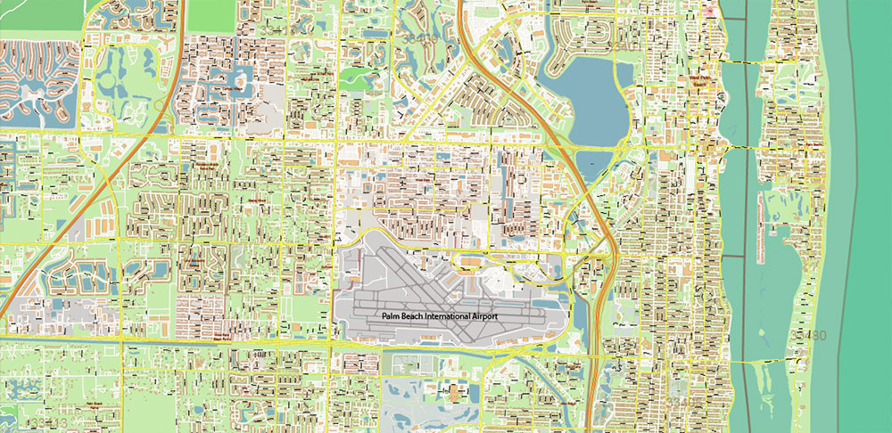
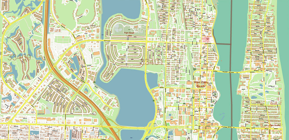
Palm Beach County Florida US Map Vector Extra High Detailed Street Map + zipcodes + counties areas, editable Adobe Illustrator in layers
Layers list:
- Legend
- Grids
- Labels of roads
- Names of places (city, hamlet, etc.)
- Names of objects (hospitals, parks, water)
- Names of main streets
- Names of residential streets
- Names of the Counties
- Numbers of ZIP-codes
- Arrows of street directions
- Main Streets, roads
- Residential streets
- Railroads
- Buildings
- Waterways
- ZIP-codes areas
- Water objects (rivers, lakes, ponds, marshes)
- Airports, Heliports areas
- Color fills (parks, hospital areas, land use, etc.)
- Counties areas
- Islands
- Background and sea

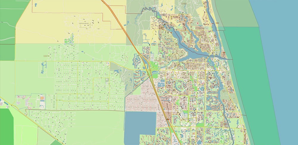
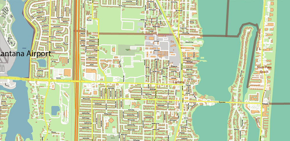
Palm Beach County Florida US Map Vector Extra High Detailed Street Map + zipcodes + counties areas, editable Adobe Illustrator in layers
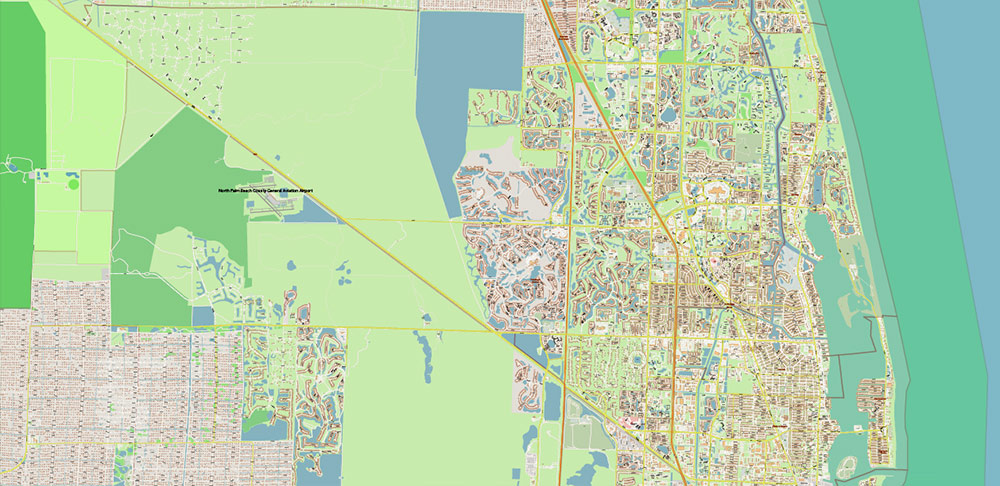
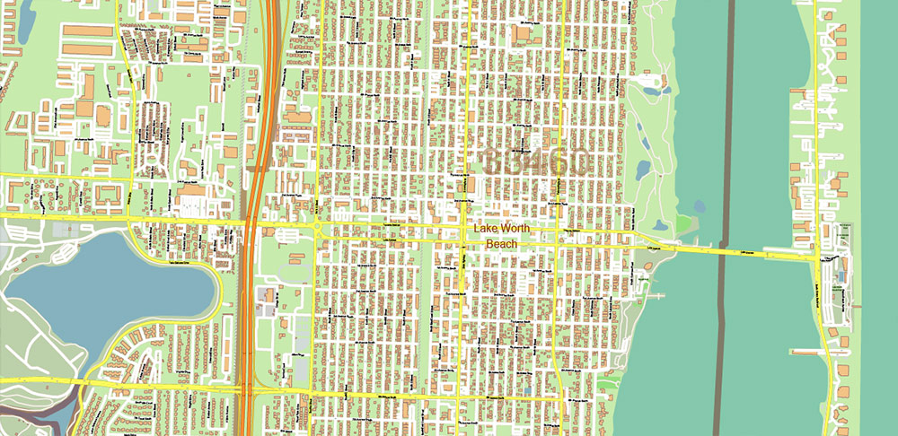
Palm Beach County Florida US Map Vector Extra High Detailed Street Map + zipcodes + counties areas, editable Adobe Illustrator in layers
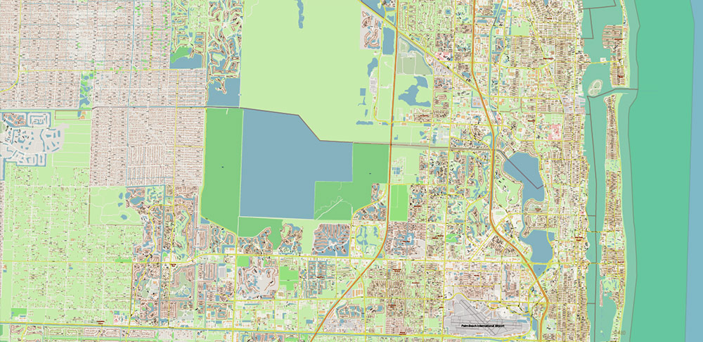
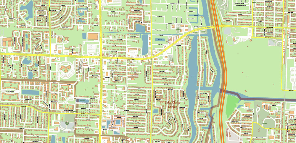
Palm Beach County Florida US Map Vector Extra High Detailed Street Map + zipcodes + counties areas, editable Adobe Illustrator in layers
Palm Beach County Florida US Map Vector Extra High Detailed Street Map + zipcodes + counties areas, editable Adobe Illustrator in layers
Palm Beach County Florida US Map Vector Extra High Detailed Street Map + zipcodes + counties areas, editable Adobe Illustrator in layers
Palm Beach County Florida US Map Vector Extra High Detailed Street Map + zipcodes + counties areas, editable Adobe Illustrator in layers
Palm Beach County Florida US Map Vector Extra High Detailed Street Map + zipcodes + counties areas, editable Adobe Illustrator in layers
Palm Beach County Florida US Map Vector Extra High Detailed Street Map + zipcodes + counties areas, editable Adobe Illustrator in layers
Palm Beach County Florida US Map Vector Extra High Detailed Street Map + zipcodes + counties areas, editable Adobe Illustrator in layers

Palm Beach County Florida US Map Vector Extra High Detailed Street Map + zipcodes + counties areas, editable Adobe Illustrator in layers
Palm Beach County Florida US Map Vector Extra High Detailed Street Map + zipcodes + counties areas, editable Adobe Illustrator in layers
Palm Beach County Florida US Map Vector Extra High Detailed Street Map + zipcodes + counties areas, editable Adobe Illustrator in layers
Palm Beach County Florida US Map Vector Extra High Detailed Street Map + zipcodes + counties areas, editable Adobe Illustrator in layers
Palm Beach County Florida US Map Vector Extra High Detailed Street Map + zipcodes + counties areas, editable Adobe Illustrator in layers
Palm Beach County Florida US Map Vector Extra High Detailed Street Map + zipcodes + counties areas, editable Adobe Illustrator in layers
Palm Beach County Florida US Map Vector Extra High Detailed Street Map + zipcodes + counties areas, editable Adobe Illustrator in layers
Palm Beach County Florida US Map Vector Extra High Detailed Street Map + zipcodes + counties areas, editable Adobe Illustrator in layers
Palm Beach County Florida US Map Vector Extra High Detailed Street Map + zipcodes + counties areas, editable Adobe Illustrator in layers
Palm Beach County Florida US Map Vector Extra High Detailed Street Map + zipcodes + counties areas, editable Adobe Illustrator in layers
Palm Beach County Florida US Map Vector Extra High Detailed Street Map + zipcodes + counties areas, editable Adobe Illustrator in layers
Palm Beach County Florida US Map Vector Extra High Detailed Street Map + zipcodes + counties areas, editable Adobe Illustrator in layers
Palm Beach County Florida US Map Vector Extra High Detailed Street Map + zipcodes + counties areas, editable Adobe Illustrator in layers
Palm Beach County Florida US Map Vector Extra High Detailed Street Map + zipcodes + counties areas, editable Adobe Illustrator in layers
Palm Beach County Florida US Map Vector Extra High Detailed Street Map + zipcodes + counties areas, editable Adobe Illustrator in layers
Palm Beach County Florida US Map Vector Extra High Detailed Street Map + zipcodes + counties areas, editable Adobe Illustrator in layers

Palm Beach County Florida US Map Vector Extra High Detailed Street Map + zipcodes + counties areas, editable Adobe Illustrator in layers
Palm Beach County Florida US Map Vector Extra High Detailed Street Map + zipcodes + counties areas, editable Adobe Illustrator in layers

 Author: Kirill Shrayber, Ph.D. FRGS


