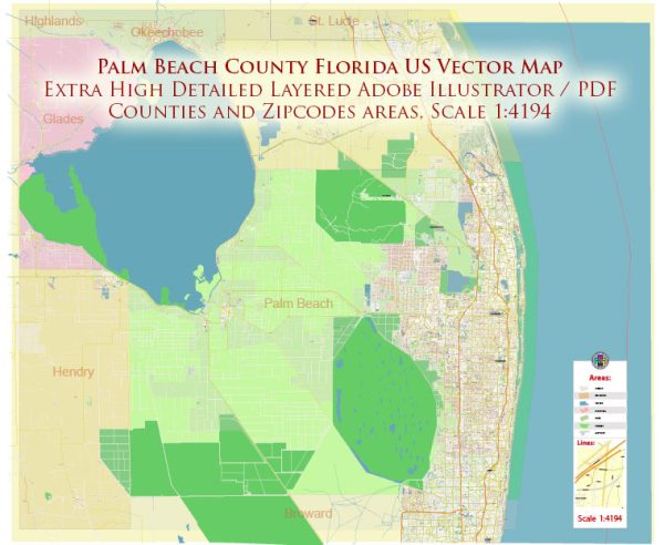
Palm Beach County, located in southeastern Florida, is home to numerous water resources and bridges due to its proximity to the Atlantic Ocean, the Intracoastal Waterway, and the various inland water bodies. Here’s an overview of some of the key water resources and bridges in Palm Beach County:
Water Resources:
- Atlantic Ocean: The eastern boundary of Palm Beach County is bordered by the Atlantic Ocean. The county has many miles of beautiful beaches along its coastline, making it a popular destination for residents and tourists.
- Intracoastal Waterway: The Intracoastal Waterway, which runs parallel to the Atlantic coast, is a major water route for boaters and offers access to the county’s various barrier islands and waterfront communities.
- Lake Okeechobee: Located to the west of the county, Lake Okeechobee is the largest freshwater lake in Florida. It is a critical water resource for the region, serving as a primary water source for agricultural and environmental purposes. The lake is connected to the county through the Lake Worth Lagoon, which stretches into Palm Beach County.
- Everglades: Parts of the Everglades, a vast wetland ecosystem, extend into the western portions of Palm Beach County. The Everglades play a crucial role in maintaining the ecological balance and supporting wildlife in the region.
- Canals and Waterways: Palm Beach County features an extensive network of canals, rivers, and waterways, which are important for irrigation, flood control, and transportation. The South Florida Water Management District manages many of these water resources.
Bridges:
- Royal Park Bridge: Also known as the Southern Boulevard Bridge, this drawbridge connects West Palm Beach to Palm Beach Island. It is a critical transportation link for residents and visitors traveling between the mainland and the island.
- Flagler Memorial Bridge: This bascule bridge connects West Palm Beach to Palm Beach Island and carries vehicular and pedestrian traffic. It’s an iconic structure in the area.
- Jupiter Inlet Bridge: Located in the northern part of the county, this bridge crosses the Jupiter Inlet, connecting the town of Jupiter to Jupiter Island. It provides access to the Jupiter Inlet Lighthouse and Museum.
- PGA Boulevard Bridge: Crossing the Intracoastal Waterway in northern Palm Beach County, this bridge connects Palm Beach Gardens to the barrier island and is a key route for commuters and tourists.
- Lake Worth Bridge: This drawbridge connects Lake Worth on the mainland to the Lake Worth Beach barrier island. It plays an important role in local transportation.
- Lantana Bridge: Located in Lantana, this bridge spans the Intracoastal Waterway, connecting the mainland to Hypoluxo Island and Manalapan.
These are just a few examples of the water resources and bridges in Palm Beach County, which play a crucial role in the county’s transportation, tourism, and recreational activities. Palm Beach County is known for its beautiful waterfront areas and the various opportunities for boating, fishing, and enjoying the coastal lifestyle.


 Author: Kirill Shrayber, Ph.D.