Extended Description of the Vector Map
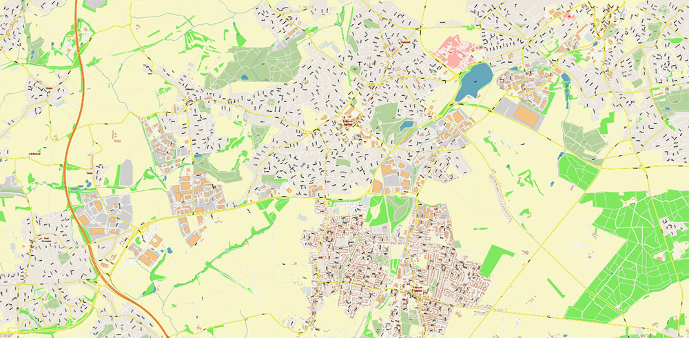
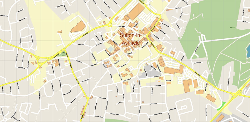
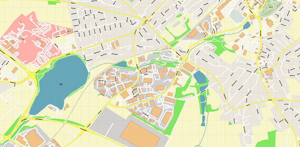
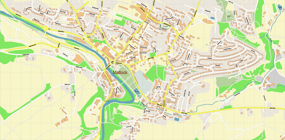
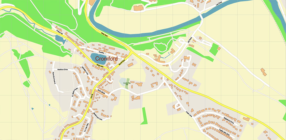
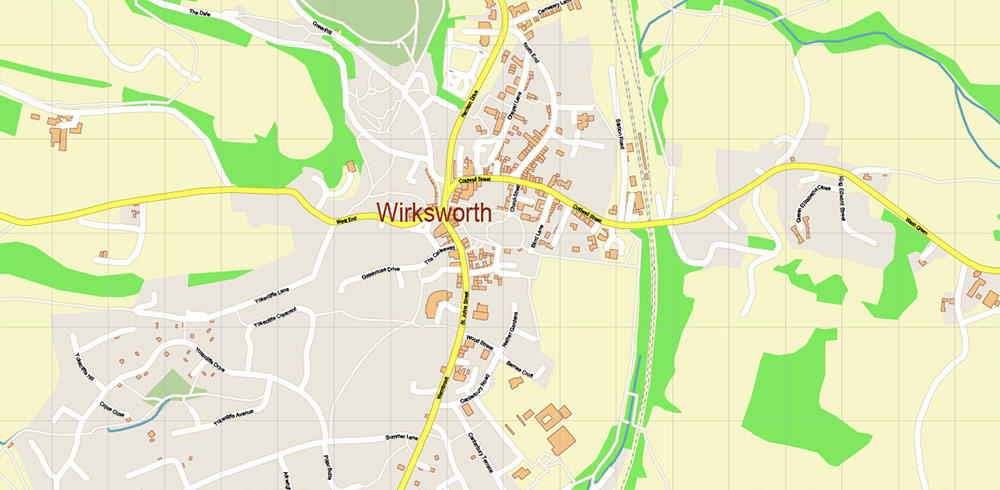
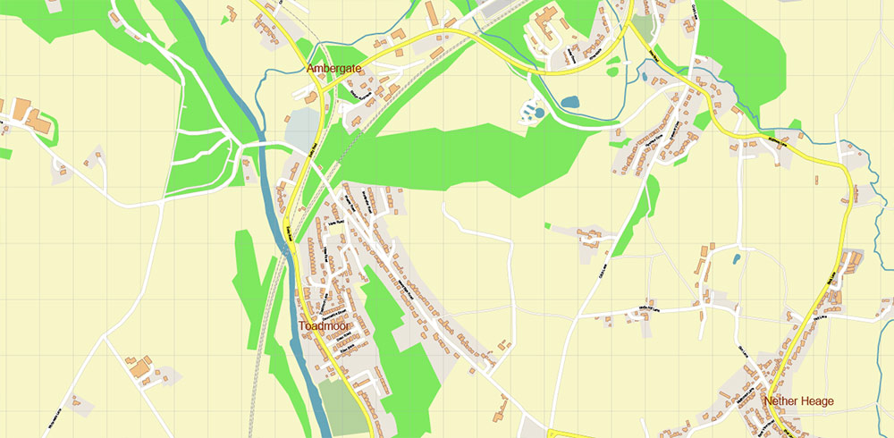
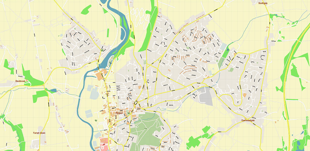
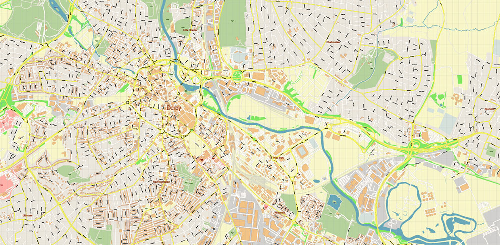
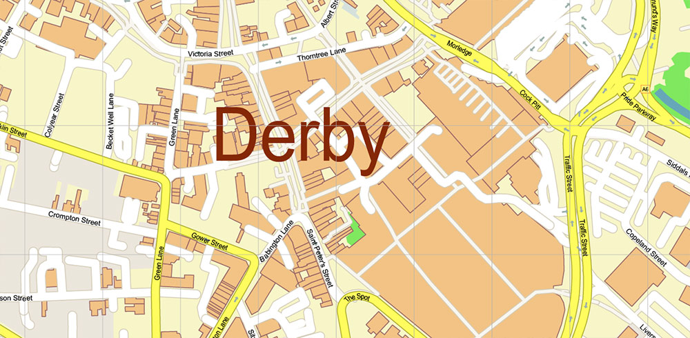
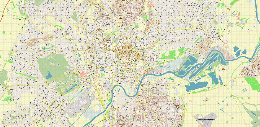
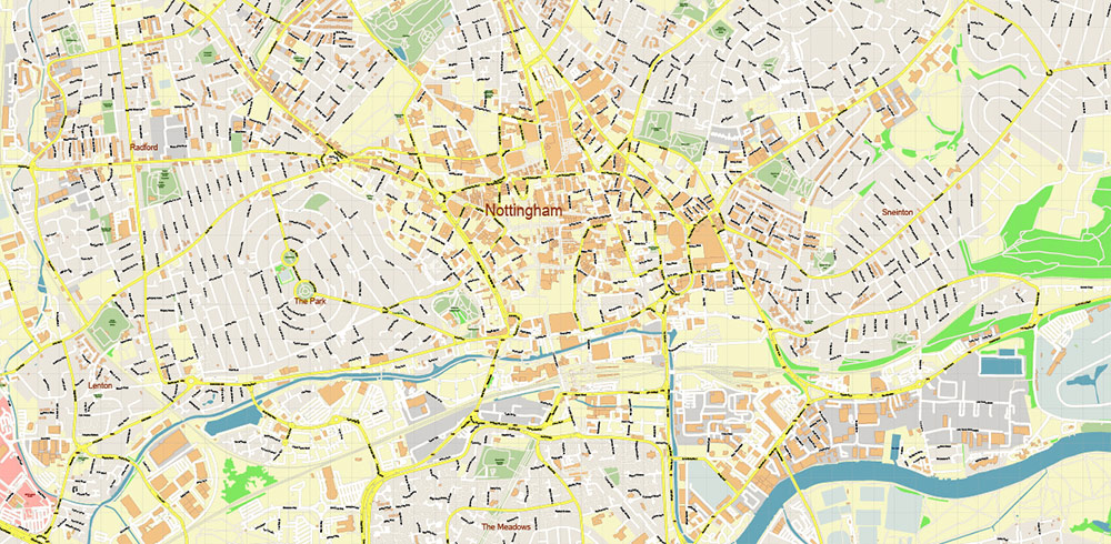
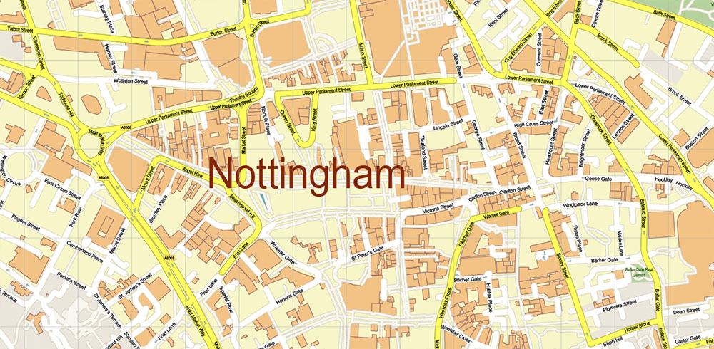
Printable Vector Map of Nottingham + Derby UK High Detailed City Plan scale 1:2829 full editable Adobe Illustrator Street Map in layers, scalable, text/curves format all names, 34 MB ZIP
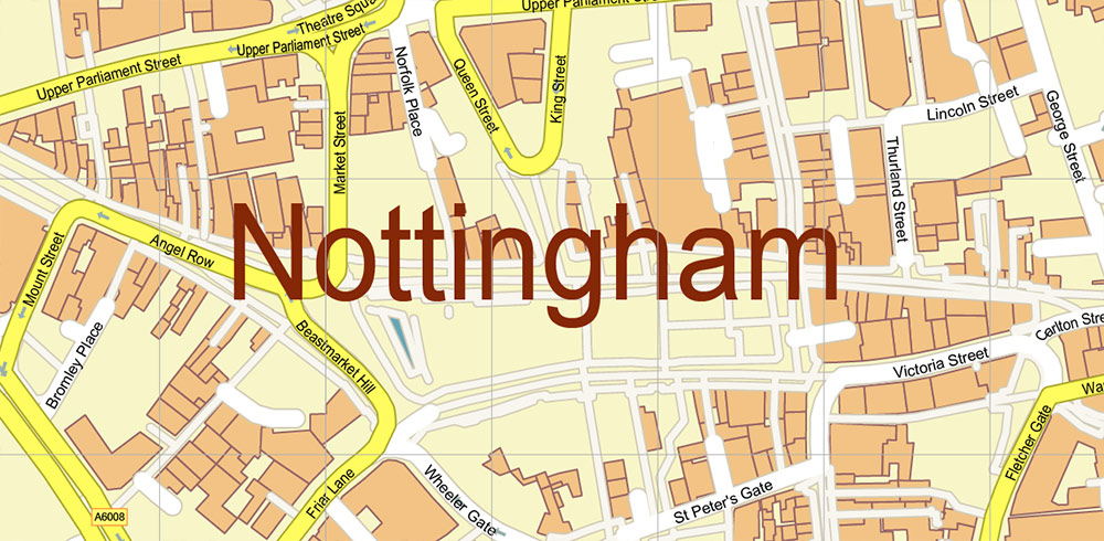
All street names, Main Objects, Buildings. Map for design, printing, arts, projects, presentations, for architects, designers, and builders, business, logistics.
Also: We can add (additional layer for this map), any other objects for you. It’s free for our customers.
Also: We can add the RELIEF (Topo Isolines or shaded relief)
If you need any OTHER format – DWG, DXF, Corel, or something else – please, email us
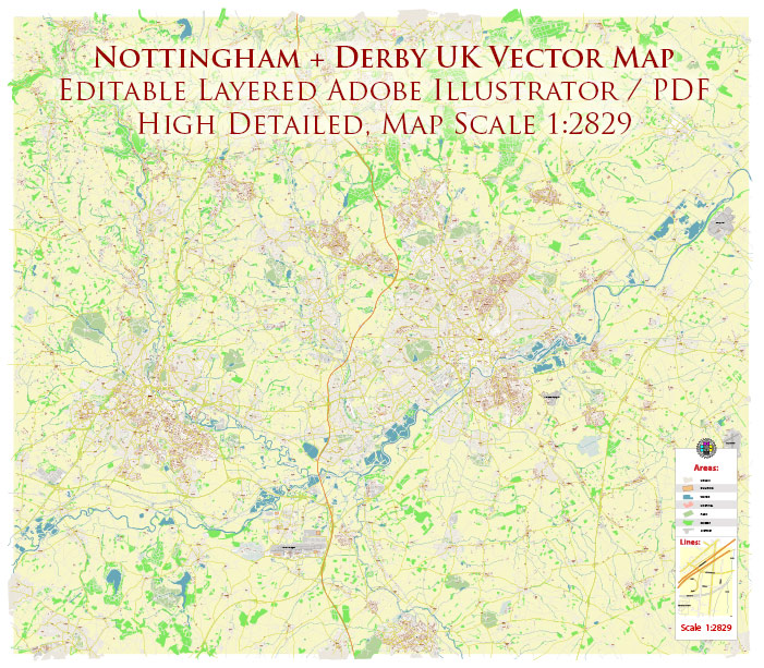
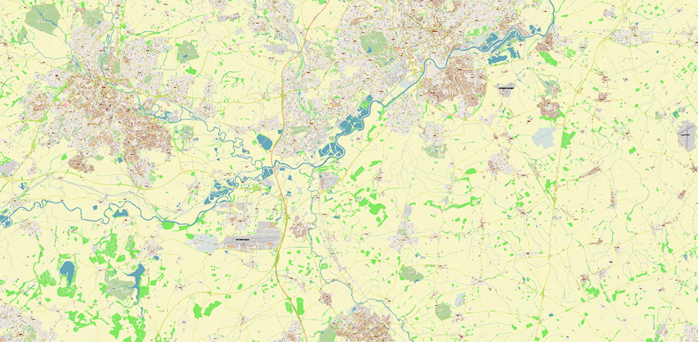
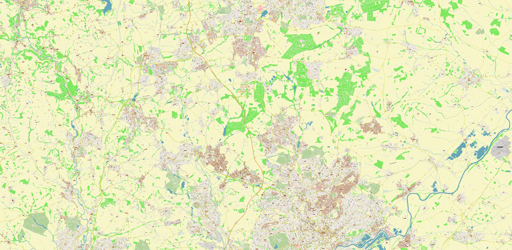
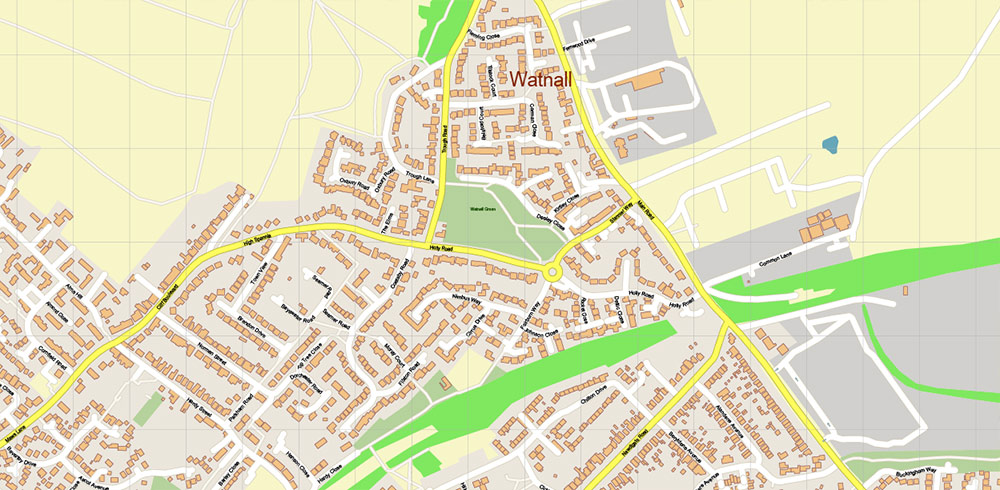
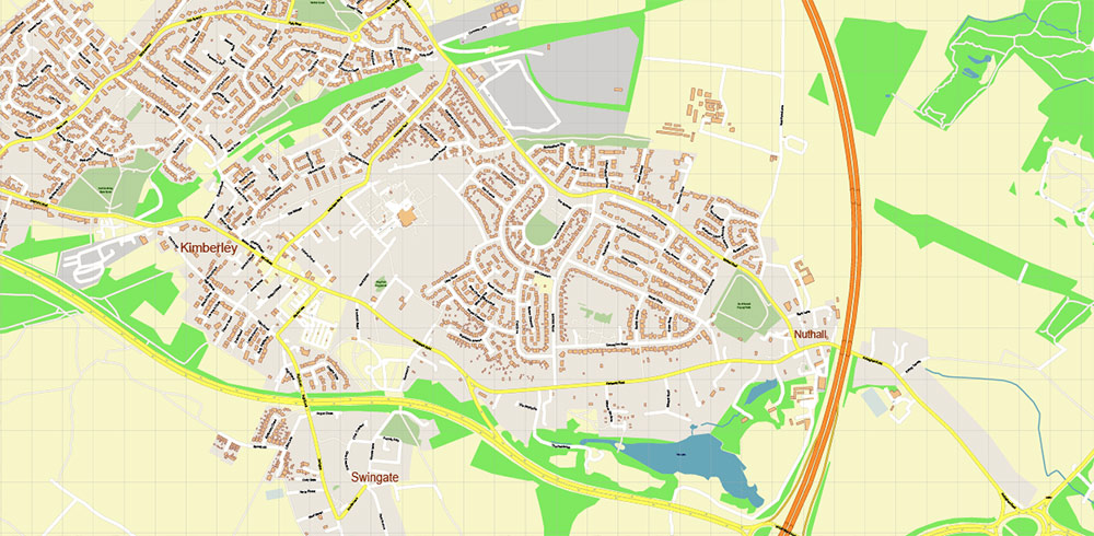
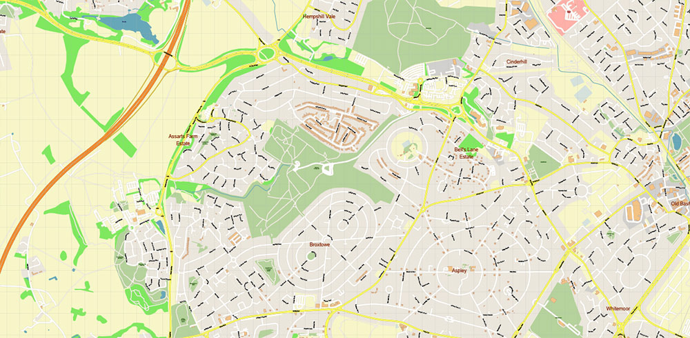
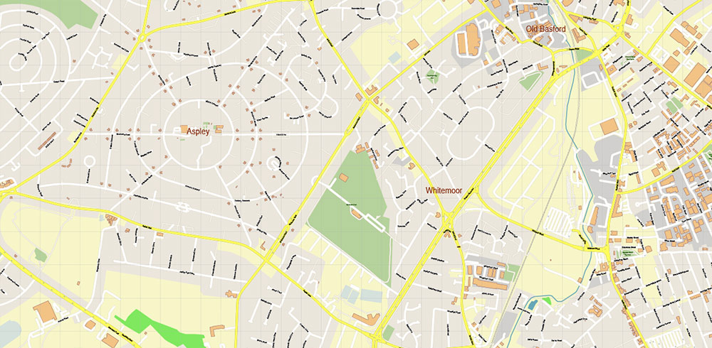
Nottingham + Derby UK Map Vector City Plan High Detailed Street Map editable Adobe Illustrator in layers
Layers list:
- Legend
- Grids
- Labels of roads
- Names of places (city, hamlet, etc.)
- Names of objects (hospitals, parks, water)
- Names of main streets
- Names of residential streets
- Arrows of street directions
- Main Streets, roads
- Residential streets
- Railroads
- Buildings
- Waterways
- Water objects (rivers, lakes, ponds, marshes)
- Color fills (parks, hospital areas, land use, etc.)
- Background
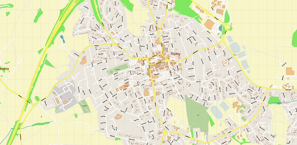
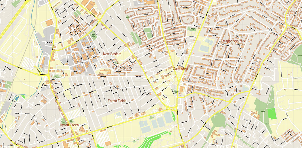
Nottingham + Derby UK Map Vector City Plan High Detailed Street Map editable Adobe Illustrator in layers
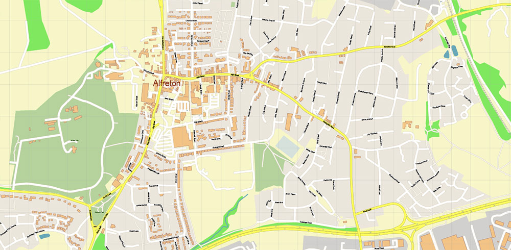
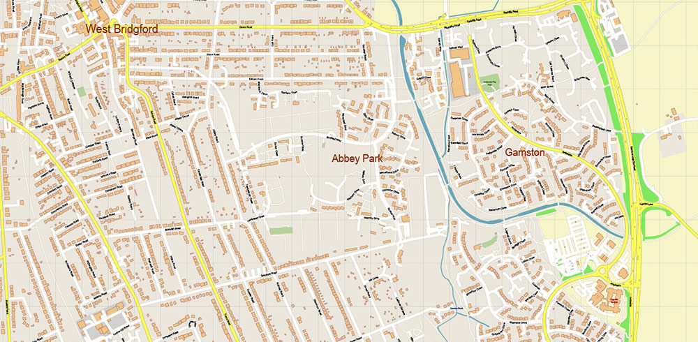
Nottingham + Derby UK Map Vector City Plan High Detailed Street Map editable Adobe Illustrator in layers
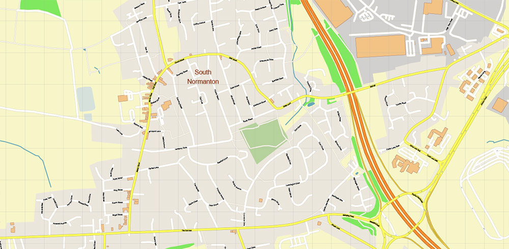
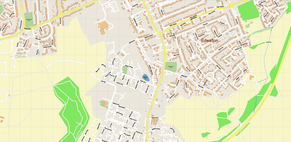
Nottingham + Derby UK Map Vector City Plan High Detailed Street Map editable Adobe Illustrator in layers
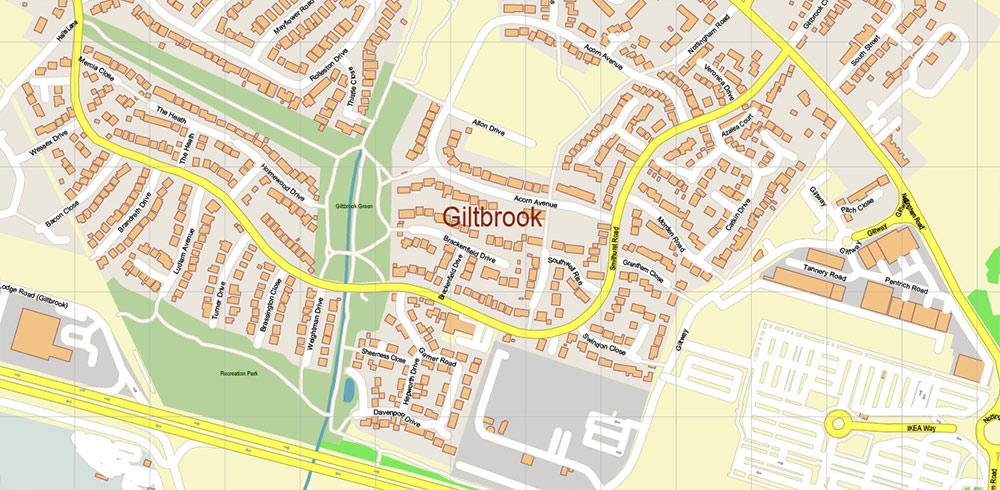
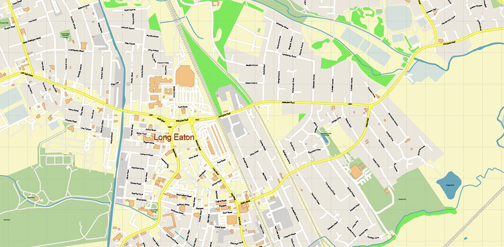
Nottingham + Derby UK Map Vector City Plan High Detailed Street Map editable Adobe Illustrator in layers
Nottingham + Derby UK Map Vector City Plan High Detailed Street Map editable Adobe Illustrator in layers
Nottingham + Derby UK Map Vector City Plan High Detailed Street Map editable Adobe Illustrator in layers
Nottingham + Derby UK Map Vector City Plan High Detailed Street Map editable Adobe Illustrator in layers
Nottingham + Derby UK Map Vector City Plan High Detailed Street Map editable Adobe Illustrator in layers
Nottingham + Derby UK Map Vector City Plan High Detailed Street Map editable Adobe Illustrator in layers
Nottingham + Derby UK Map Vector City Plan High Detailed Street Map editable Adobe Illustrator in layers
Nottingham + Derby UK Map Vector City Plan High Detailed Street Map editable Adobe Illustrator in layers
Nottingham + Derby UK Map Vector City Plan High Detailed Street Map editable Adobe Illustrator in layers
Nottingham + Derby UK Map Vector City Plan High Detailed Street Map editable Adobe Illustrator in layers
Nottingham + Derby UK Map Vector City Plan High Detailed Street Map editable Adobe Illustrator in layers
Nottingham + Derby UK Map Vector City Plan High Detailed Street Map editable Adobe Illustrator in layers
Nottingham + Derby UK Map Vector City Plan High Detailed Street Map editable Adobe Illustrator in layers
Nottingham + Derby UK Map Vector City Plan High Detailed Street Map editable Adobe Illustrator in layers
Nottingham + Derby UK Map Vector City Plan High Detailed Street Map editable Adobe Illustrator in layers
Nottingham + Derby UK Map Vector City Plan High Detailed Street Map editable Adobe Illustrator in layers
Nottingham + Derby UK Map Vector City Plan High Detailed Street Map editable Adobe Illustrator in layers
Nottingham + Derby UK Map Vector City Plan High Detailed Street Map editable Adobe Illustrator in layers
Nottingham + Derby UK Map Vector City Plan High Detailed Street Map editable Adobe Illustrator in layers
Nottingham + Derby UK Map Vector City Plan High Detailed Street Map editable Adobe Illustrator in layers
Nottingham + Derby UK Map Vector City Plan High Detailed Street Map editable Adobe Illustrator in layers
Nottingham + Derby UK Map Vector City Plan High Detailed Street Map editable Adobe Illustrator in layers
Nottingham + Derby UK Map Vector City Plan High Detailed Street Map editable Adobe Illustrator in layers
Nottingham + Derby UK Map Vector City Plan High Detailed Street Map editable Adobe Illustrator in layers
Nottingham + Derby UK Map Vector City Plan High Detailed Street Map editable Adobe Illustrator in layers

 Author: Kirill Shrayber, Ph.D. FRGS