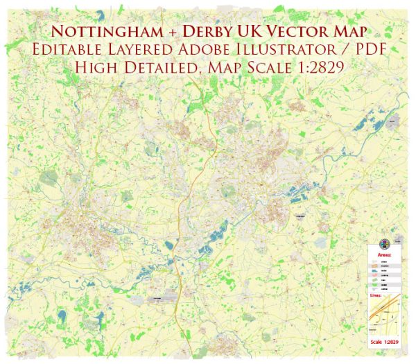
Nottingham and Derby are two cities located in the East Midlands region of the United Kingdom. They are connected by the River Trent, which flows through both cities. Here’s some information about the water resources and bridges in the Nottingham and Derby area:
Water Resources:
- River Trent: The River Trent is the primary watercourse that flows through both Nottingham and Derby. It is one of the major rivers in England and provides a significant water resource to the region. The river is used for various purposes, including transportation, recreation, and as a water source for nearby communities.
- Reservoirs: There are several reservoirs in the surrounding area that serve as water resources. These reservoirs store water for domestic and industrial use and also provide recreational opportunities. Some of the notable reservoirs in the region include Attenborough Nature Reserve, Foremark Reservoir, and Staunton Harold Reservoir.
- Canals: The region has a network of canals, including the Erewash Canal and the Trent and Mersey Canal. These canals were historically used for transportation and are now often used for leisure activities.
Bridges:
- Trent Bridge: Trent Bridge is a famous bridge in Nottingham that spans the River Trent. It is known for its association with cricket, as Trent Bridge Cricket Ground is located nearby. The bridge is an important river crossing and a significant landmark in the city.
- Wilford Suspension Bridge: This pedestrian suspension bridge in Nottingham crosses the River Trent and connects the city with the suburb of Wilford. It offers picturesque views of the river and surrounding area.
- Derby Silk Mill Bridge: This is a modern pedestrian bridge in Derby that crosses the River Derwent. It provides access to the Derby Silk Mill, a museum of industry and history. The bridge is a combination of functional and aesthetic design.
- Swarkestone Bridge: Located south of Derby, Swarkestone Bridge is an ancient stone bridge that crosses the River Trent. It has historical significance and is one of the oldest bridges in the region.
- Raynesway Bridge: This is a major road bridge that carries the A5111 road over the River Derwent in Derby. It plays a crucial role in the transportation network of the city.
These are just a few examples of the water resources and bridges in the Nottingham and Derby area. Both cities have a rich history and are known for their connections to waterways and the bridges that span them.


 Author: Kirill Shrayber, Ph.D.