Extended Description of the Vector Map
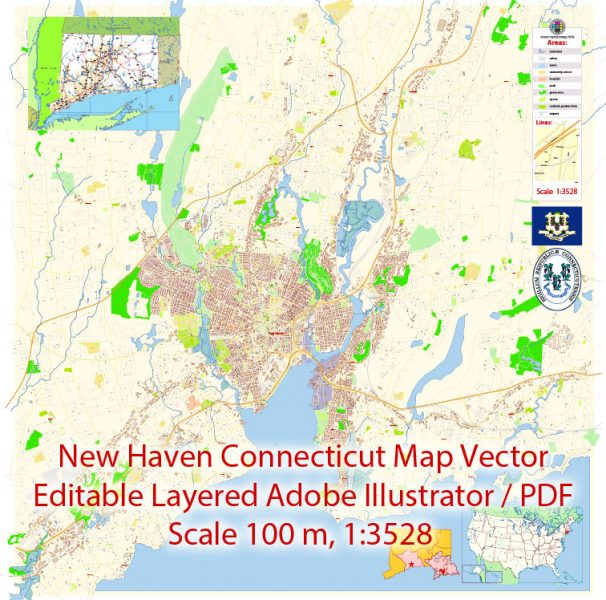
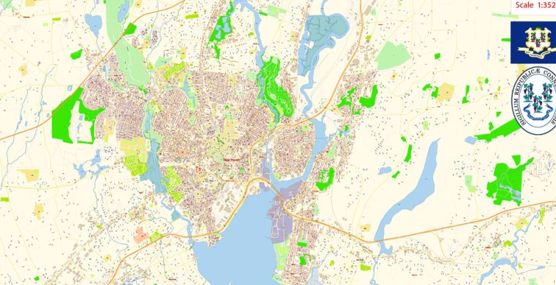
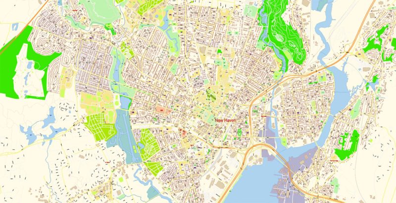
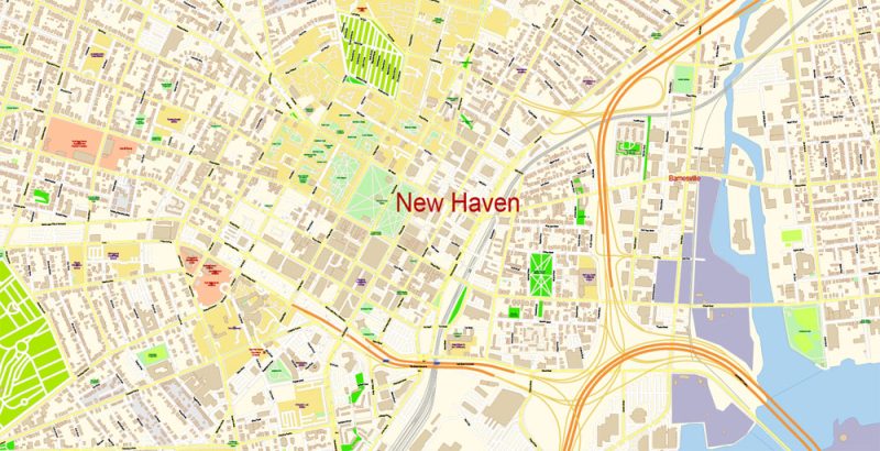
Printable Vector Map of New Haven Connecticut US detailed City Plan scale 100 m 1:3528 full editable Adobe Illustrator Street Map in layers, scalable, text format all names, 10 MB ZIP
All street names, Main Objects, All Buildings. Map for design, printing, arts, projects, presentations, for architects, designers, and builders, business, logistics.
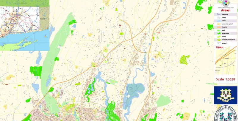
Layers: color_fills, water, streets_roads, labels_roads, names_objects, names_streets, names_places, arrows_streets, buildings, grids, legend, etc.
The most exact and detailed map of the city in scale.
For Editing and High-Quality Printing
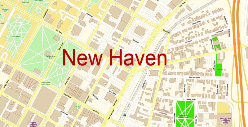
New Haven
City in Connecticut
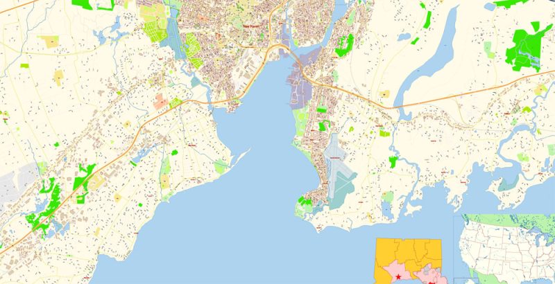
New Haven is a coastal city on Long Island Sound, in Connecticut. It’s home to the Ivy League Yale University, founded in 1701. The institution’s museums include the Yale Peabody Museum of Natural History, the Yale University Art Gallery and the Yale Center for British Art. Grove Street Cemetery, dating from the late 18th century, has a 19th-century Egyptian Revival gateway. The New Haven Museum covers local history.
ZIP Codes: 06501–06540
New Haven Connecticut Map Vector Exact City Plan detailed Street Map editable Adobe Illustrator in layers
New Haven Connecticut Map Vector Exact City Plan detailed Street Map editable Adobe Illustrator in layers
New Haven Connecticut Map Vector Exact City Plan detailed Street Map editable Adobe Illustrator in layers
New Haven Connecticut Map Vector Exact City Plan detailed Street Map editable Adobe Illustrator in layers
New Haven Connecticut Map Vector Exact City Plan detailed Street Map editable Adobe Illustrator in layers
New Haven Connecticut Map Vector Exact City Plan detailed Street Map editable Adobe Illustrator in layers
New Haven Connecticut Map Vector Exact City Plan detailed Street Map editable Adobe Illustrator in layers


 Author: Kirill Shrayber, Ph.D. FRGS

